Elevation of Secret Peak, Nevada, USA
Location: United States > Nevada > Wells >
Longitude: -115.25866
Latitude: 40.8229795
Elevation: 2696m / 8845feet
Barometric Pressure: 73KPa
Elevation Map:
Satellite Map:
Related Photos:
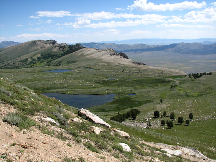
View of Robinson Lake
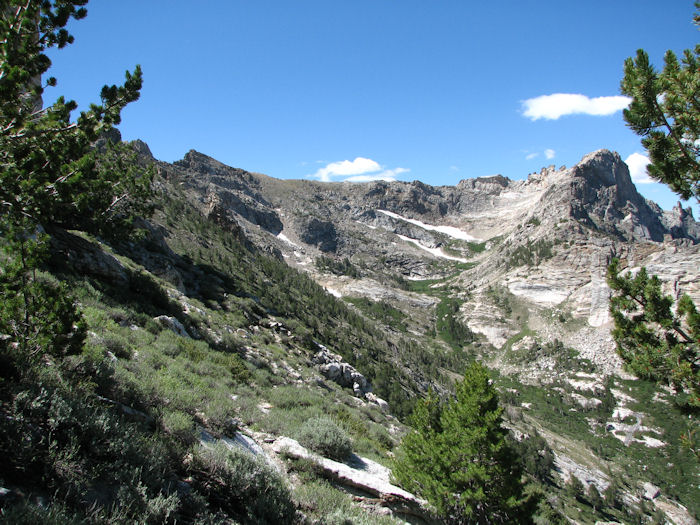
View toward Cold Lakes.
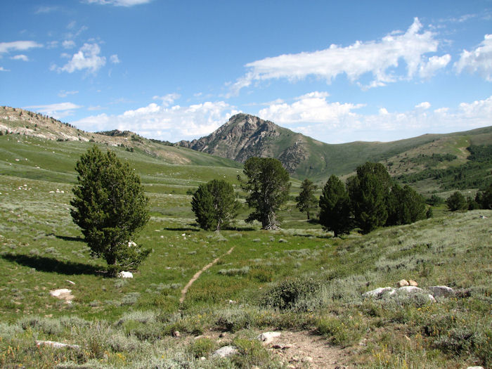
View up the trail.
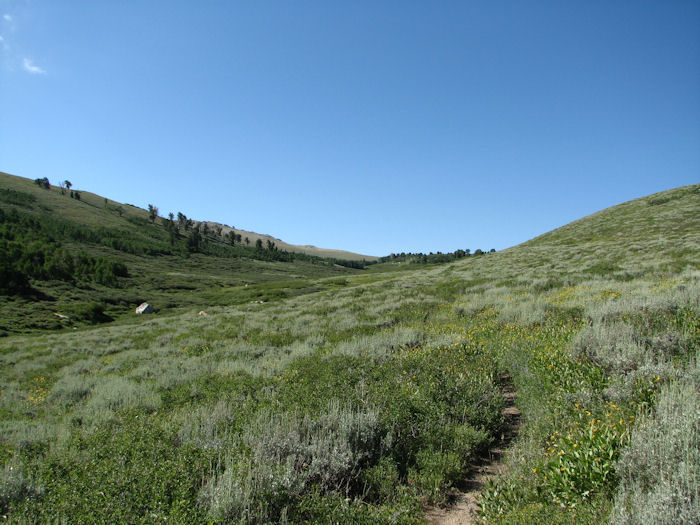
View up the trail.

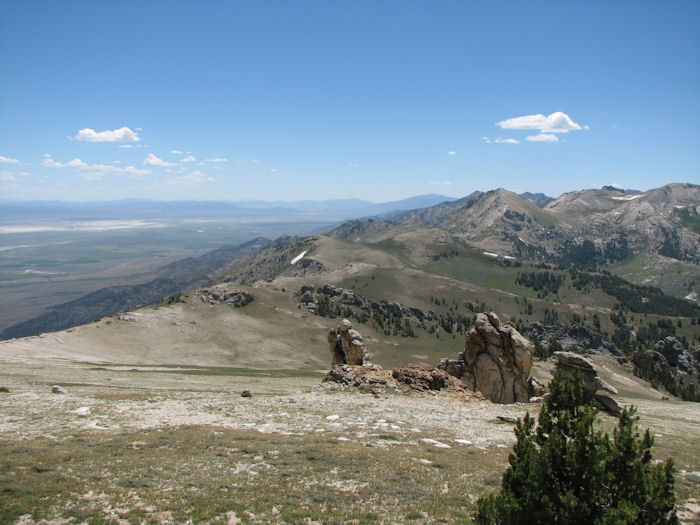
View of Ruby Valley.
View back toward Soldier Canyon.
Topographic Map of Secret Peak, Nevada, USA
Find elevation by address:

Places near Secret Peak, Nevada, USA:
Angel Lake
Welcome Frontage Rd, Wells, NV, USA
Angel Lake Road
Elko County
Wells
Marys River Ranch
Antelope Peak
Oasis
Toano Range Hp
Gods Pocket Peak
Murdock Mountain
Knoll Mountain
Ellen D Mountain
Montello
US-93, Jackpot, NV, USA
Jackpot
2301 Ace Dr
Jackson Mines
3 Creek Rd, Rogerson, ID, USA
Death Valley
Recent Searches:
- Elevation of Corso Fratelli Cairoli, 35, Macerata MC, Italy
- Elevation of Tallevast Rd, Sarasota, FL, USA
- Elevation of 4th St E, Sonoma, CA, USA
- Elevation of Black Hollow Rd, Pennsdale, PA, USA
- Elevation of Oakland Ave, Williamsport, PA, USA
- Elevation of Pedrógão Grande, Portugal
- Elevation of Klee Dr, Martinsburg, WV, USA
- Elevation of Via Roma, Pieranica CR, Italy
- Elevation of Tavkvetili Mountain, Georgia
- Elevation of Hartfords Bluff Cir, Mt Pleasant, SC, USA