Elevation of Seaside Rd, Cape Charles, VA, USA
Location: United States > Virginia > Northampton County > >
Longitude: -75.964611
Latitude: 37.173166
Elevation: 10m / 33feet
Barometric Pressure: 101KPa
Elevation Map:
Satellite Map:
Related Photos:
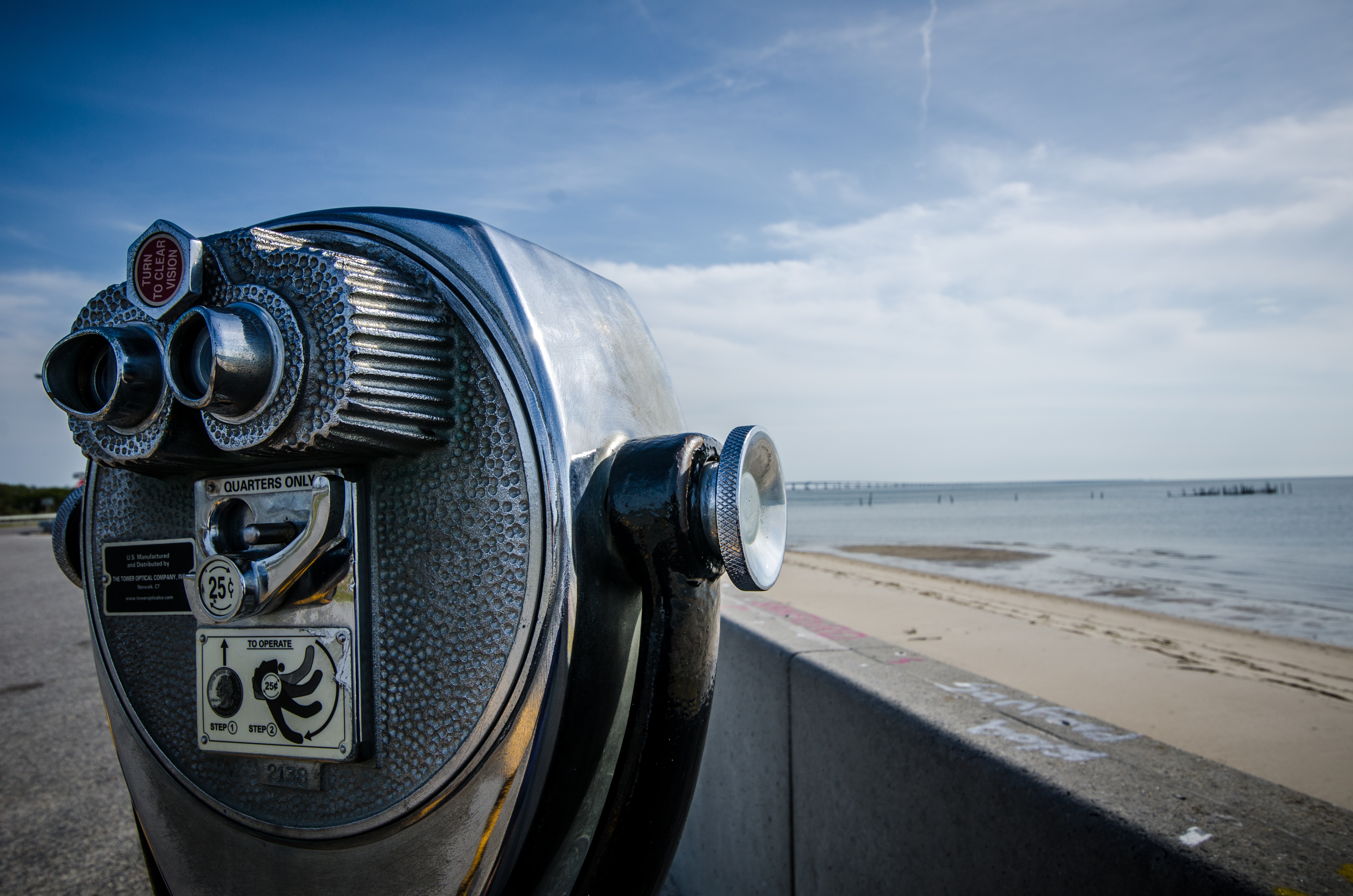
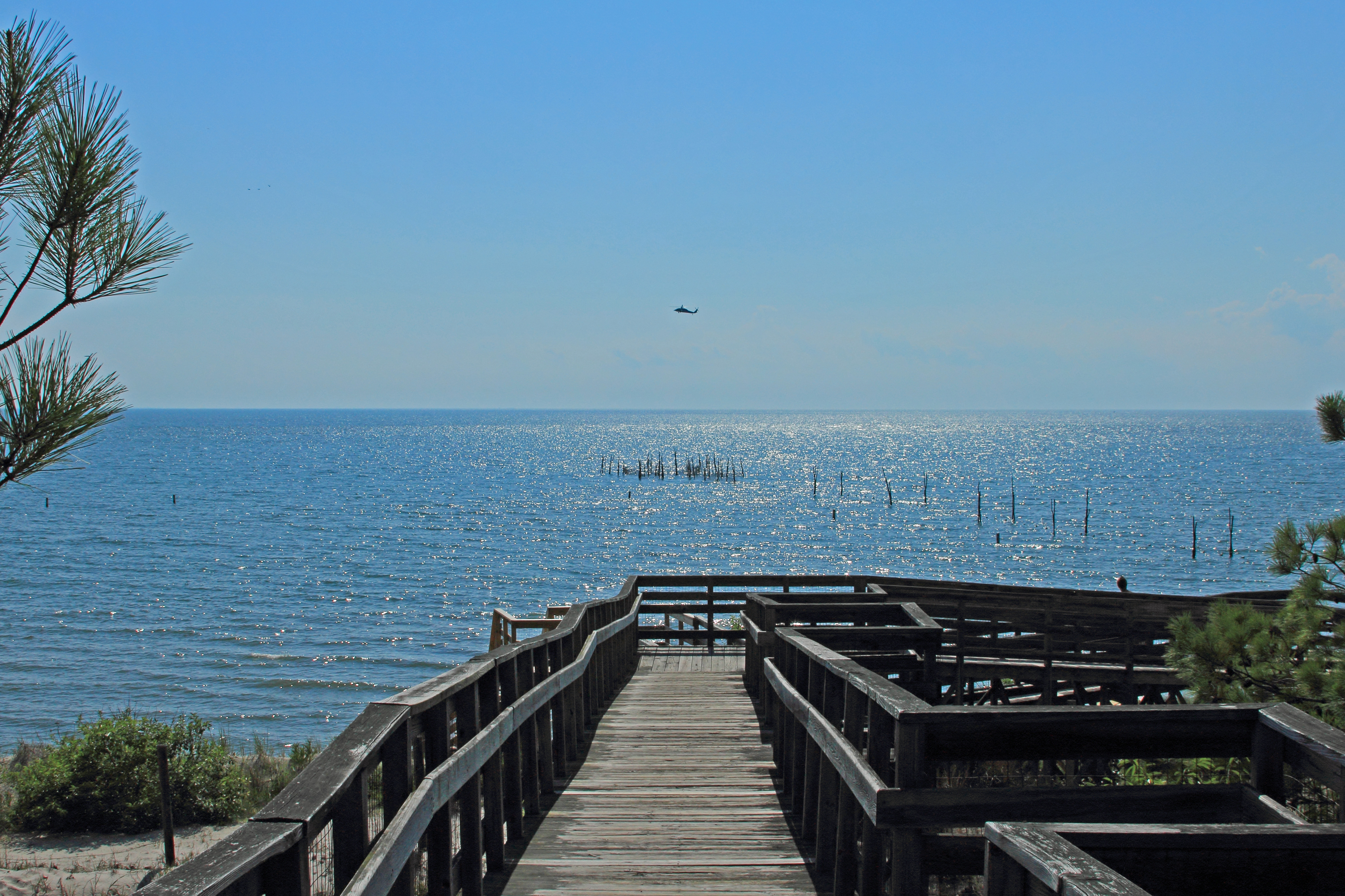
View the Chesapeake Bay
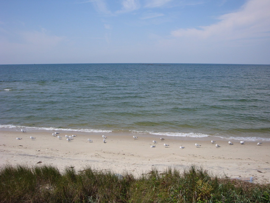
Chesapeake Bay

Aerial view of the refuge
Taking the scenic way home from...
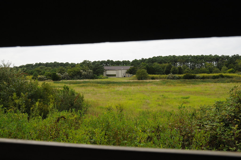
Sadly, the view from the wildlife blind

Cape Charles Lighthouse, VA.

Chesapeake Bay

Music Room with a View !

Shorth of July-4323

Saltmarsh Sparrow
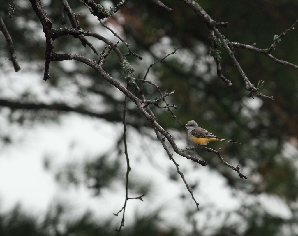
Scissor Tailed Flycatcher

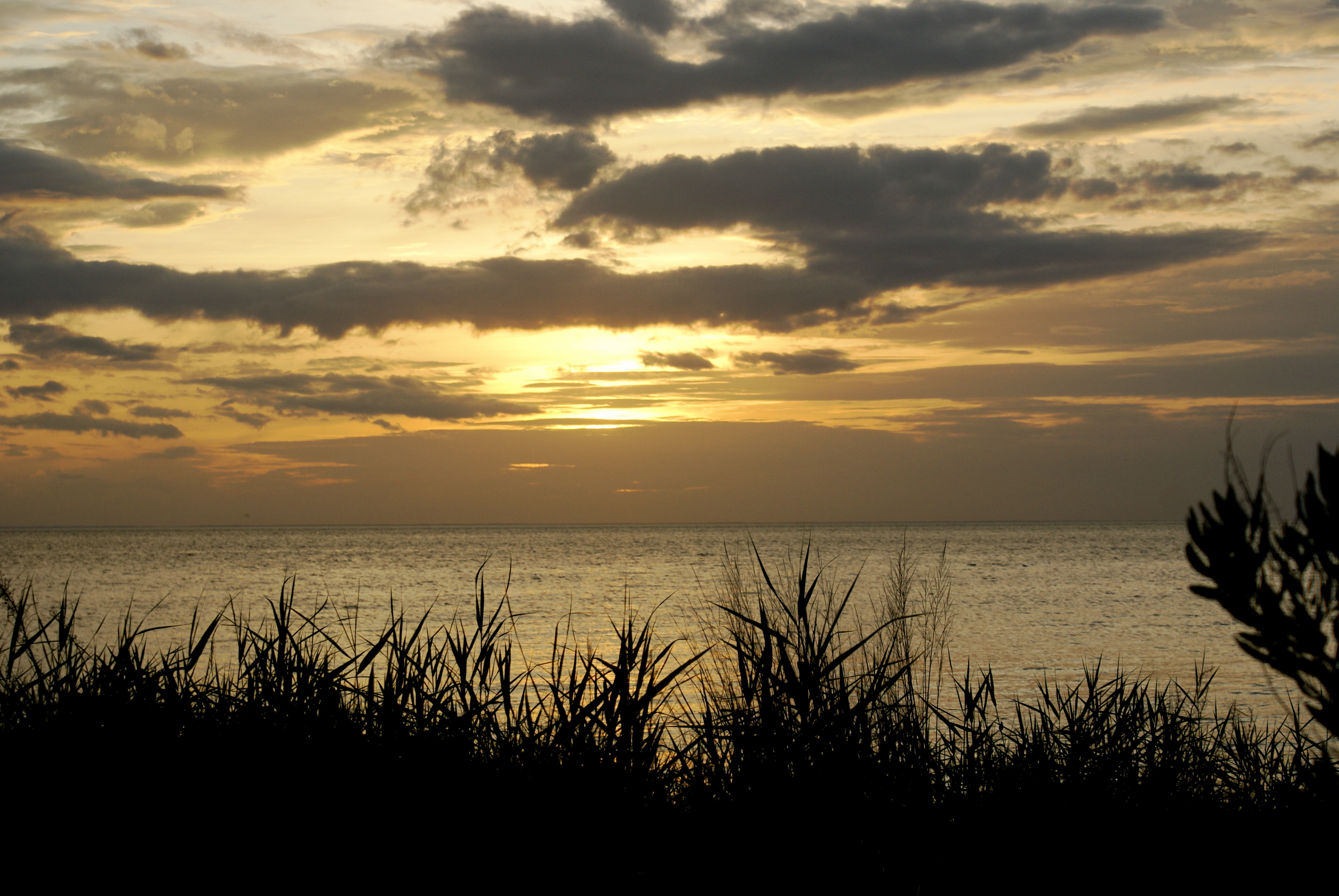
Before Sunset

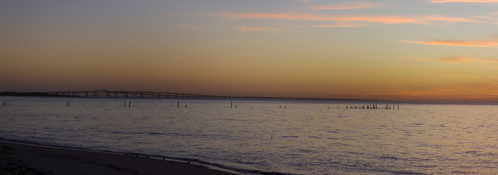
Chesapeake Bay Bridge Tunnel
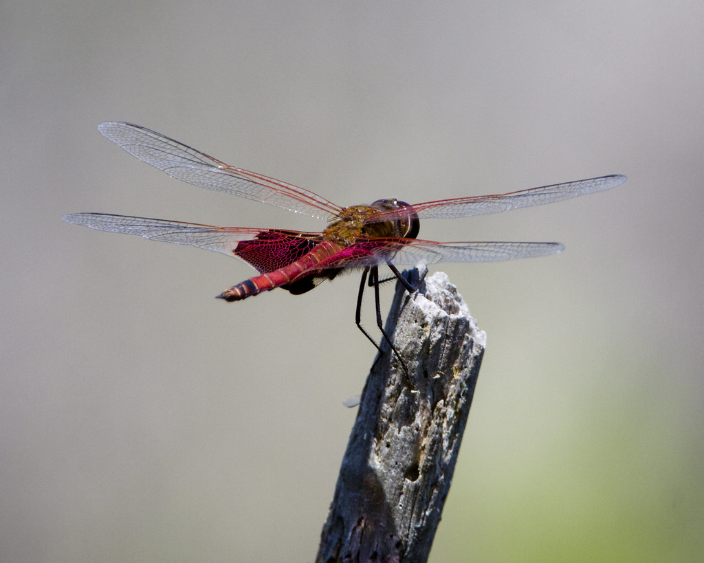
Red Saddlebags

Eastern Shore of Virginia National Wildlife Refuge
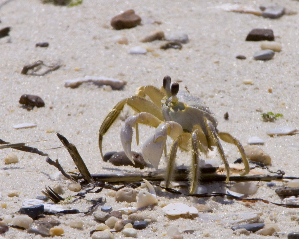
Atlantic Ghost Crab
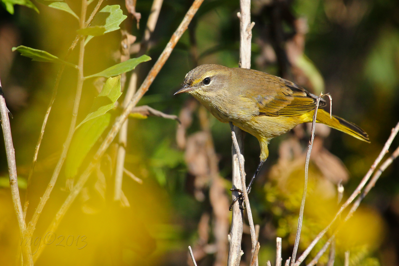
Yellow (Eastern) Palm Warbler
Chesapeake Bay bridge-Tunnel 3

until the east coast ends.
View from Bald Eagle Bluff Overlook/Boardwalk

Common Buckeyes
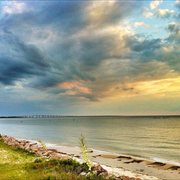
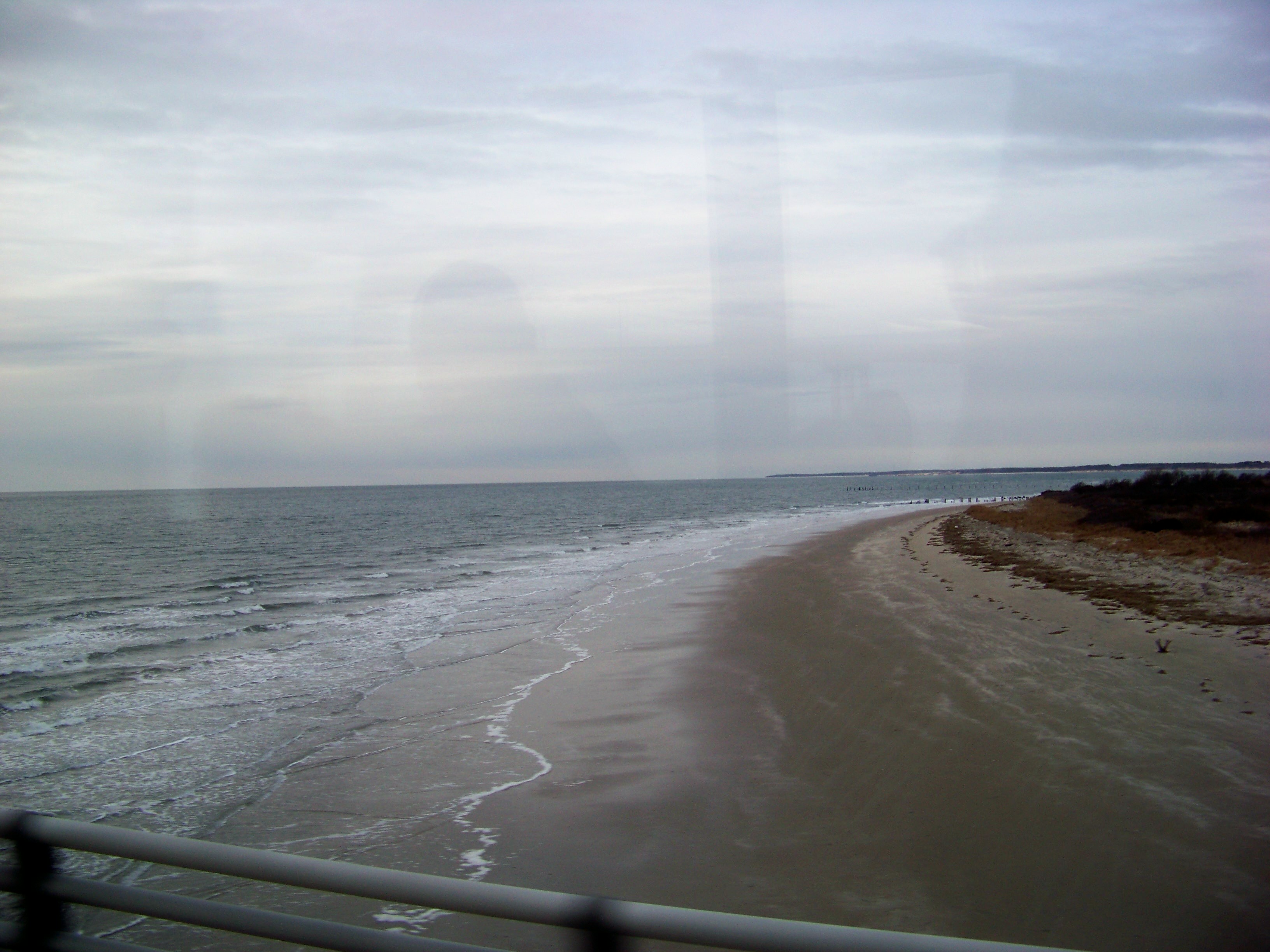
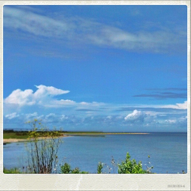
The Chesapeake Bay, at Cape Charles, Virginia
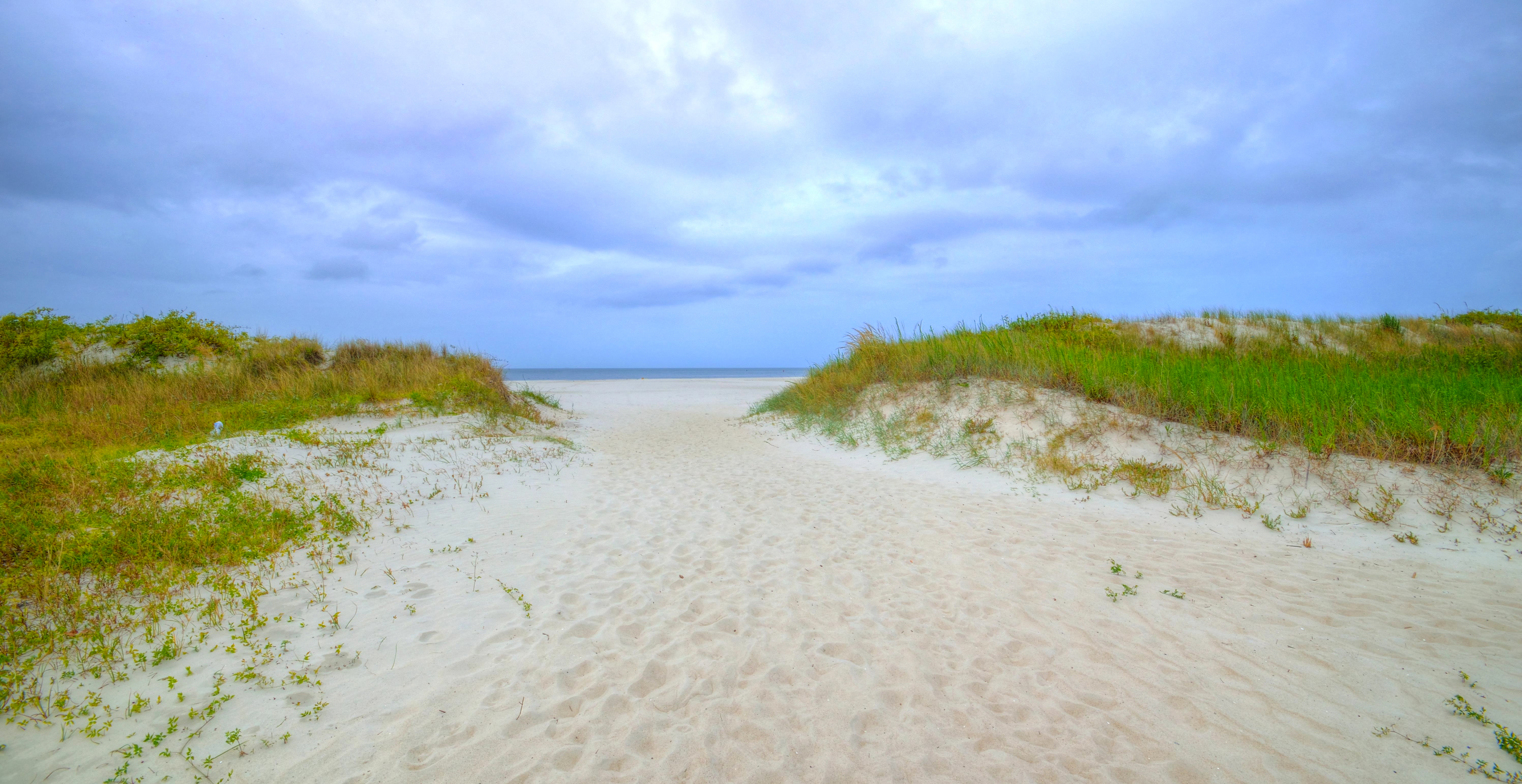
A day at the beach
Road trip... #ilovethebay #virginia #chesapeakebay #igersrva #roadtrip

Sunset BW
DSC05925.JPG
Chesapeake Bay Bridge Tunnel Sunset

DSC05938.JPG

2013-09-22_20-08-23
Topographic Map of Seaside Rd, Cape Charles, VA, USA
Find elevation by address:

Places near Seaside Rd, Cape Charles, VA, USA:
Justin Lane
4405 Townsend Dr
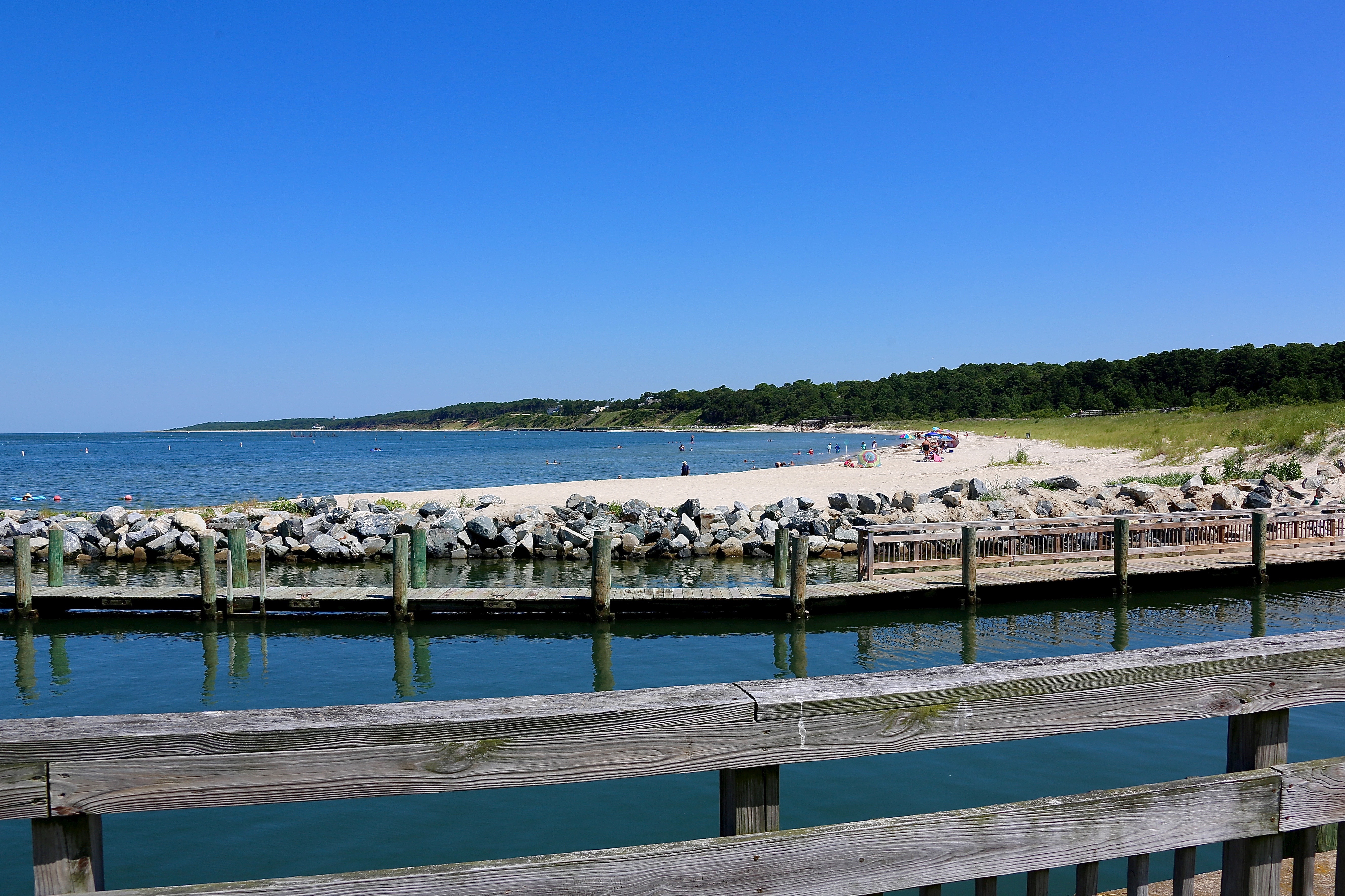
Kiptopeke State Park
1, VA, USA
Bulls Landing Dr, Cape Charles, VA, USA
2866 County Rd 703
2866 County Rd 703
Kiptopeake Boat Ramp
3101 Butler's Bluff Dr
Capeville
Arlington Rd, Cape Charles, VA, USA
Cape Charles / Chesapeake Bay Koa Resort
T-, Cape Charles, VA, USA
Northampton County
Arlington Chase Lane
Arlington Chase Road
147 Heron Pointe Dr
7 Seay Court
Old Plantation Drive
Old Plantation Drive
Recent Searches:
- Elevation of Rojo Ct, Atascadero, CA, USA
- Elevation of Flagstaff Drive, Flagstaff Dr, North Carolina, USA
- Elevation of Avery Ln, Lakeland, FL, USA
- Elevation of Woolwine, VA, USA
- Elevation of Lumagwas Diversified Farmers Multi-Purpose Cooperative, Lumagwas, Adtuyon, RV32+MH7, Pangantucan, Bukidnon, Philippines
- Elevation of Homestead Ridge, New Braunfels, TX, USA
- Elevation of Orchard Road, Orchard Rd, Marlborough, NY, USA
- Elevation of 12 Hutchinson Woods Dr, Fletcher, NC, USA
- Elevation of Holloway Ave, San Francisco, CA, USA
- Elevation of Norfolk, NY, USA