Elevation of Seagate Way, Belmont, CA, USA

Location: United States > California > San Mateo County > Belmont >

Longitude: -122.27515

Latitude: 37.5300537

Elevation: 3m / 10feet

Barometric Pressure: 101KPa

Elevation Map:

elevation map of Seagate Way, Belmont, CA, USA

Satellite Map:

Satellite map of Seagate Way, Belmont, CA, USA

Related Photos:

sanmateobridge sr92 coyotepointpark burlingame california sanmateo–haywardbridge longexposure dusk seascape bay ngc bayarea wave ocean shore seaside coast westcoast pacificocean landscape outdoor clouds sky water rock mountain rollinghills sea sand beach cliff nature wetlands evening nightphotography nightscene bridge
Night Bridge and Its Reflections
lighttrails sanfranciscointernationalairport millbrae sanfrancisco lowfog foginsf cityscape longexposure dusk seascape bay ngc bayarea wave ocean shore seaside coast california landscape outdoor clouds sky water nightphotography nightscene traffictrails
Flew into the Night Clouds
sfo longexposure dusk california sky evening nightphotography nightscene traffictrails traillights airplane aircraft house sanfranciscointernationalairport airport
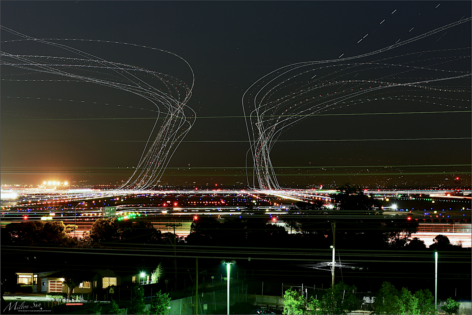
SFO’s Saturday Night
trafficlighttrails lighttrails interstate280 route92 sanmateo lowfog foginsf longexposure dusk seascape bay ngc bayarea wave ocean shore seaside coast california landscape outdoor clouds sky mountain rollinghills evening sunset traffictrails summer
On Their Way Home
sanfranciscoskyline sealpoint sanmateo northerncalifornia sanfrancisco cityscape dusk seascape bay ngc bayarea wave ocean shore seaside coast california westcoast pacificocean landscape outdoor clouds sky water rock mountain rollinghills sea sand beach cliff architecture building baybridge
San Francisco Skyline in the Far Distance
aerialphotograph nikkor nature paloaltoairport paloaltomunicipalgolfcourse duckpond baylandsnatureinterpretivecenter sanfranciscobay santaclaracounty sanmateocounty california eastpaloalto sanfrancisquitocreek paloalto aerial
Aerial view of Palo Alto Airport, Palo Alto Municipal Golf Course, the duck pond, the Baylands Nature Interpretive Center, and San Francisco Bay, Palo Alto, Santa Clara and San Mateo Counties, California.
sanmateojapanesegarden house window california architecture building sanmateocounty trees spring garden green
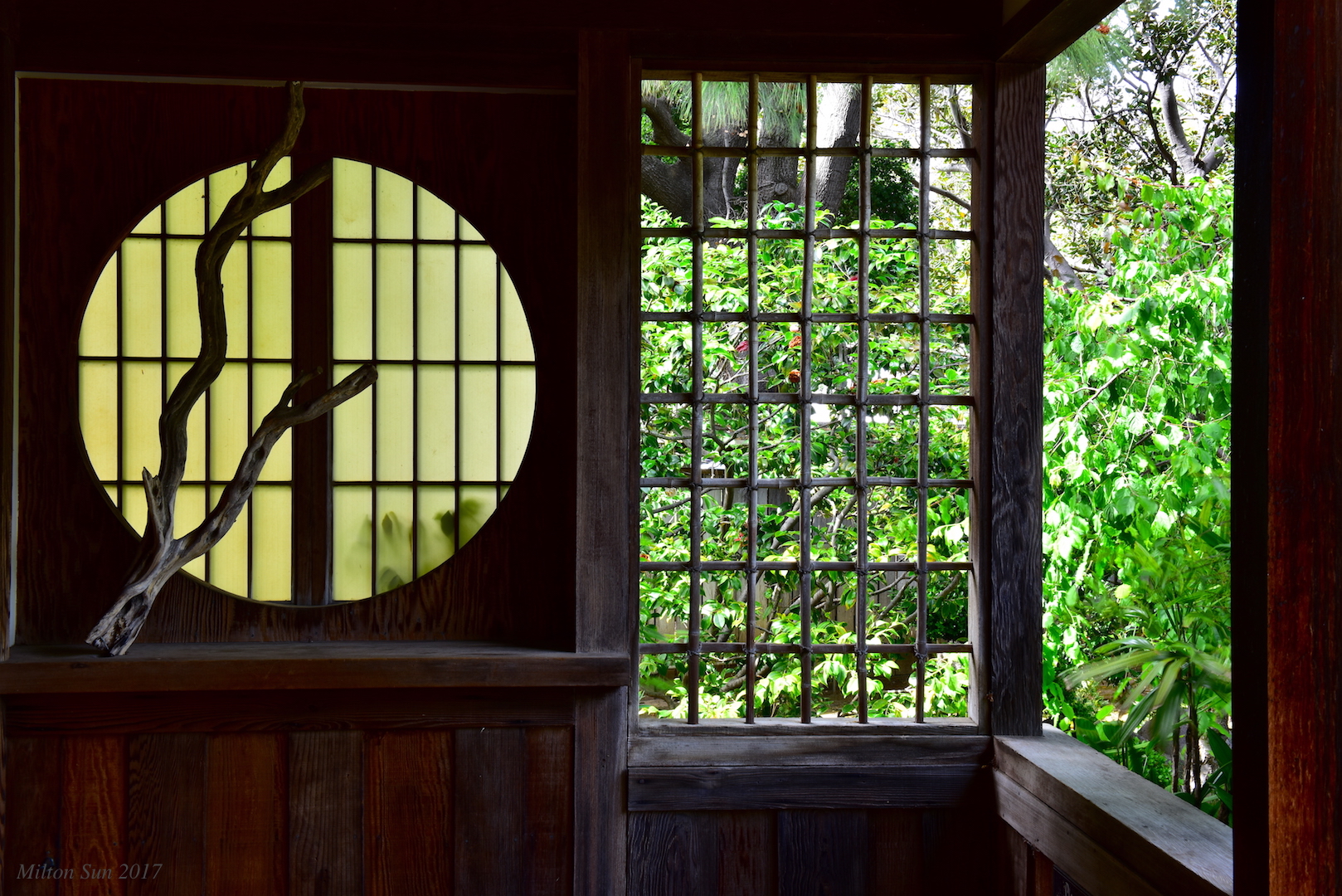
Tea House Window|San Mateo Japanese Garden
california ca old railroad school building tower college water fountain vintage circle campus leland mono us photo memorial university view place outdoor senator scenic chapel historic governor vista santaclara paloalto educational register auditorium tycoon hoovertower santaclaracounty santaclaravalley stanforduniversity nrhp onasill
Hoover Tower ~ Stanford University ~ Palo Alto California
sfo
Welcome back to San Francisco!
white bird interestingness bravo 11 explore egret strut snowyegret shorebird egrettathula naturesfinest 255 theintimidator specanimal impressedbeauty avianexcellence
Egret Strut
sanandreaslake sanbruno sanfrancisco lowfog longexposure bay ngc bayarea california westcoast sanmateocounty foginsf rollinghills landscape mountains clouds sky skyline nature
[Rolling...] at San Andreas Lake, San Bruno, CA
california bayarea nikon d810 color august 2016 summer boury pbo31 northerncalifornia fostercity sanmateocounty bridge sunset light pole lightstream traffic skyline urban pink sky motion over view infinity
forever circling
ON TOP OF THE WORLD
fog cloud atmosphere weather upslopefog watervapor ground forest mountain droplets nature risingterrain marvel outdoor tree sky mist
Upslope Fog
bw portrait alone incomplete seeing window view flickrfriday self
Do you see me?
eiaiisraelairlines 4xerb boeing787 boeing7878dreamliner sanfranciscosfo sfooutdoorterrace sfo skyterrace telaviv hodhasharon
4X-ERB
rainbow bay sanfranciscobay plants omd olympus
Rainbow over SF Bay
sanfranciscointernationalairport sfo jet travel visit plane tickets airport vacation firstclass miles aviation corporate terminal runway landing takeoff approach tourism commute airtravel ksfo bayarea sanmateocounty fineart aerialview aerialphotographer blackandwhite helicopter commercial realestate signatureflightsupport logistics operations 94128 12297662992 sanfrancisco california unitedstates flight fly
San Francisco International Airport Aerial View
california ca old venice building architecture vintage campus walking leland drive photo site memorial arch tour outdoor five district main pipe style charles coolidge quad palm historic architect henry american da paloalto siliconvalley romanesque byzantine ravenna 1903 richardson hobson theoval memchu santaclaracounty stanforduniversity unitedstate stanfordmemorialchurch renassiance nrhp crownjewel onasill attractionsite organsnorth facadeattraction
Stanford University ~ View from The Oval ~ Palm Drive ~ Old Photo
california bridge winter sunset panorama color water silhouette reflections bay nikon track view over january large rail panoramic southbay eastpaloalto stitched d800 dumbartonbridge 2015 boury pbo31 patrickboury
the gatekeeper
menlopark california usa bedwellbayfrontpark siliconvalley sanfranciscobay sanfranciscobayarea redwoodcity redwoodshores sanmateo sanmateobridge bridge house dusk goldenhour night outdoor water saltflat saltpond sony a6000 sel55210 1xp raw photomatix hdr qualityhdr qualityhdrphotography fav100
Waiting for darkness
california canon5dmarkiii canonef24105mmf4lisusm clouds edgewoodpreserve landscape lightroom5 muledeer sanmateocounty topazsw
A Cloudy Day
unitedairlines united n2142u n2138u boeing777 boeing777300 boeing777300er boeing777322er boeing 777 777300 777300er 777322er b77w ksfo sfo sanfranciscointernationalairport sanfranciscoairport sanfrancisco
Boeing 777-322/ER face off at SFO
city bridge storm water rain clouds bay harbor san francisco power cloudy gray explore rainy rainstorm redwood pylons explored day29366 29jan16 366the2016edition 3662016 4b4a9329
29/2016 - The Redwood City Weather Forecast
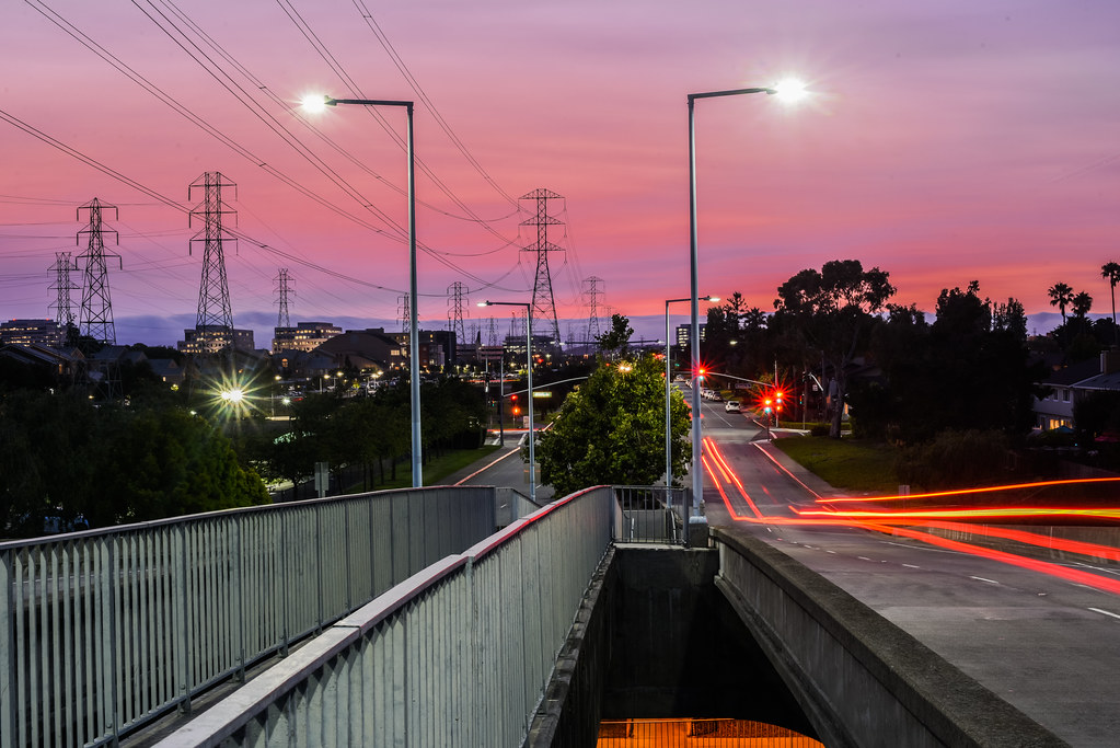
Black and blue baylands
spotting ksfo canon plane aviation
Singapore Airlines Airbus A350-941 9V-SMP
spotting sfo plane aviation canon 5d
Delta Air Lines Boeing 717 N994AT
spotting ksfo canon plane aviation
Lufthansa Airbus A380-841 D-AIMF
crystalsprings reservoir
Our Water
menlopark california unitedstates oldfashioned flickrfriday
20180908-DSCF4428
spotting sfo sanfrancisco plane aviation canon
Asiana Airbus A350-941 HL8078
spotting ksfo canon plane aviation
Emirates Airbus A380-861 A6-EOE
california road bw northerncalifornia yellow landscape fav50 stripe fav20 norcal asphalt fav30 median hdr highdynamicrange lonetree pf selectivecolor lowperspective goldenstate middleoftheroad 1000v fav10 fav100 tonemapping fav40 fav60 fav90 fav80 fav70 elmofoto lorenzomontezemolo forcurators
you're either shooting or you're dead v2.0 {+1 in comments}
ombyk slovak government flying services republic airbus a319 acj19 san francisco sanfrancisco international airport sfo ksfo usa california ca john boulin
OM-BYK
redwoodcity california unitedstates sanmateo sfbayarea sf nikon d800 nikond800 2470mm sunset landscape reservoir tree lonetree marsh wetland crystalsprings fog marinelayer coastalrange fav100 rakesh sharma fav200 fav300 fav400 fav500 fav600 fav700 fav800 fav900 fav1000 50000v
t r a c e s | san mateo, california
california trees orchard olives olivetrees californiacentralcoast filoligardens
Filoli Gardens California-Central-Coast 2015-03-30
spotting sfo sanfrancisco plane aviation canon
Air France Boeing 777-323(ER) F-GZNB
california travel summer sky view hiking hill meadow trail saturation gras windyhill
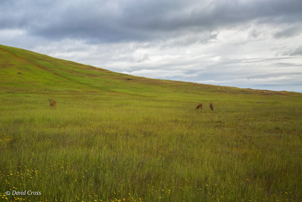
Windy Hill, California
sf california ca sea orange usa water yellow sunrise landscape dawn bay us san francisco unitedstates tide low over calif mount diablo burlingame millbrae flickrstruereflection1 ilobsterit
Sunrise over Mount Diablo and San Francisco Bay - Millbrae California
green grass ricoh oval 2016 stanforduniversity grii
The Oval of Stanford University