Elevation of Sea Crab Cir, Navarre, FL, USA
Location: United States > Florida > Santa Rosa County > Navarre >
Longitude: -86.935199
Latitude: 30.3984362
Elevation: 6m / 20feet
Barometric Pressure: 101KPa
Elevation Map:
Satellite Map:
Related Photos:
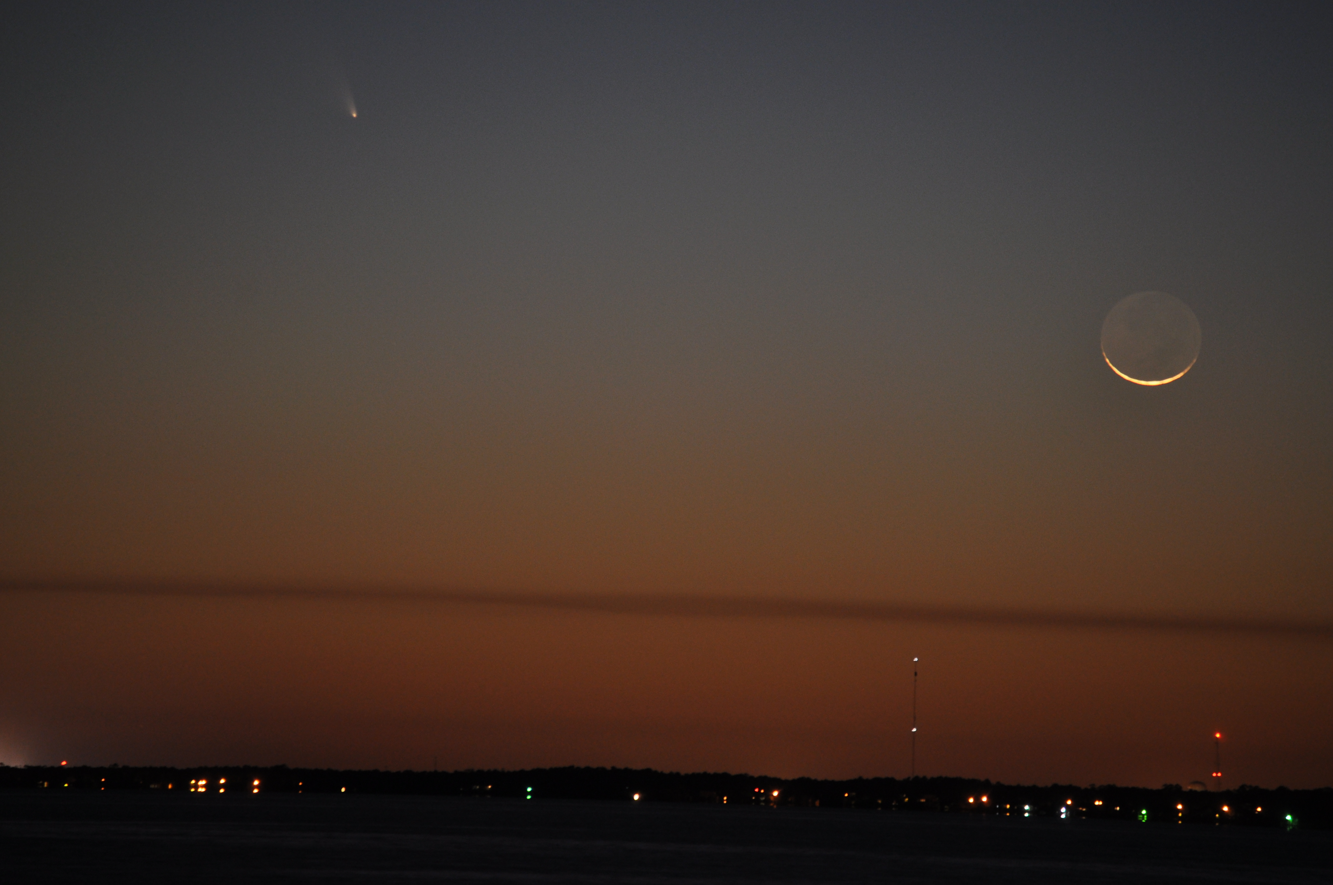
Comet Pan-STARRS

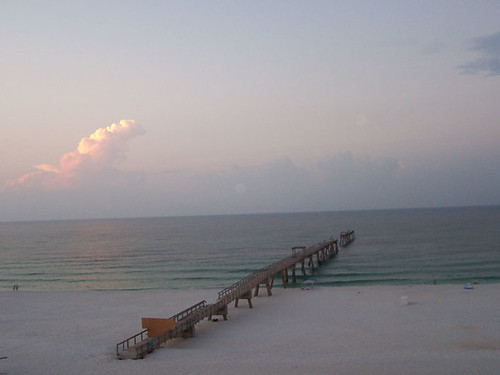
View From the Balcony
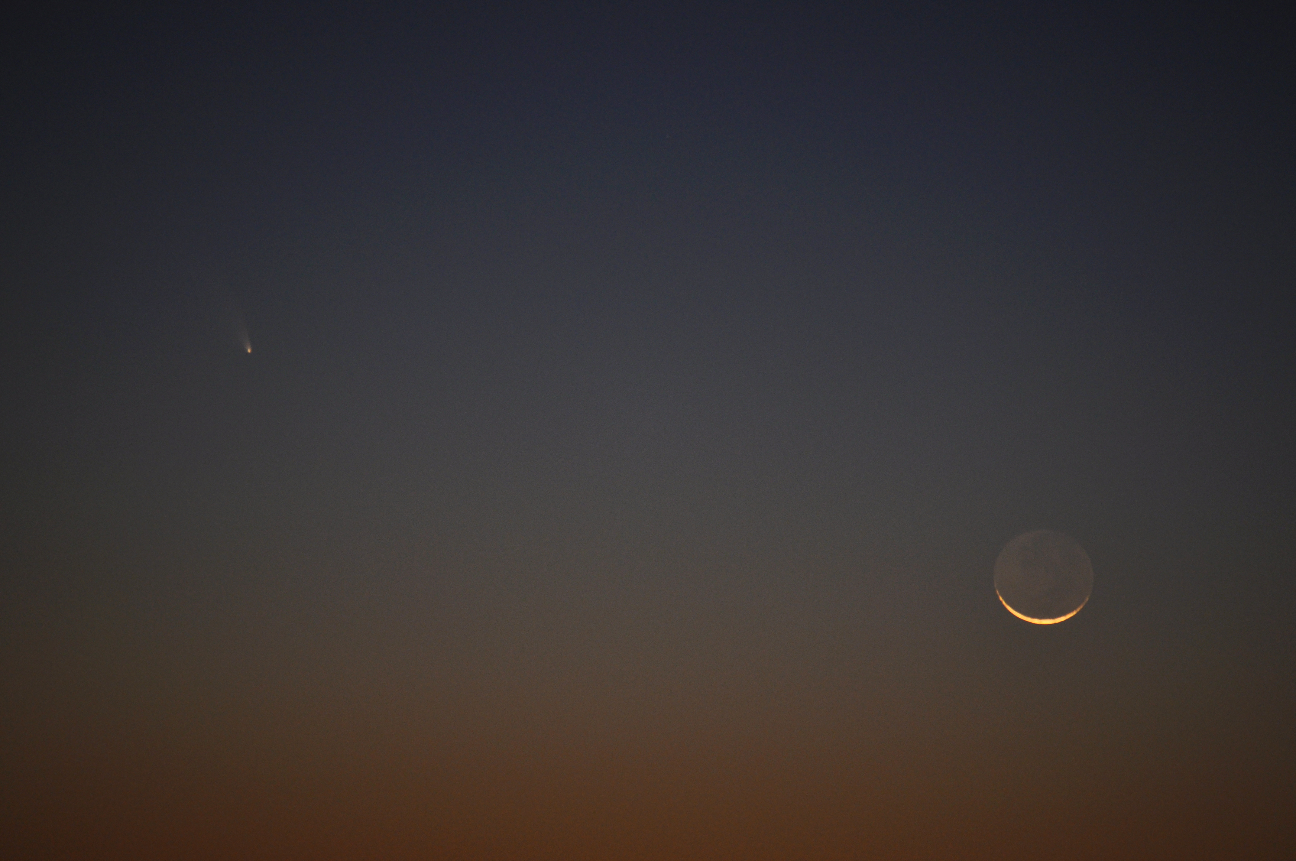
Comet Pan-STARRS
Morning view

Sandcastle - view over the wall
Quiet morning.

Sandcastle - through the door

Sea Wall View

Dribble castle
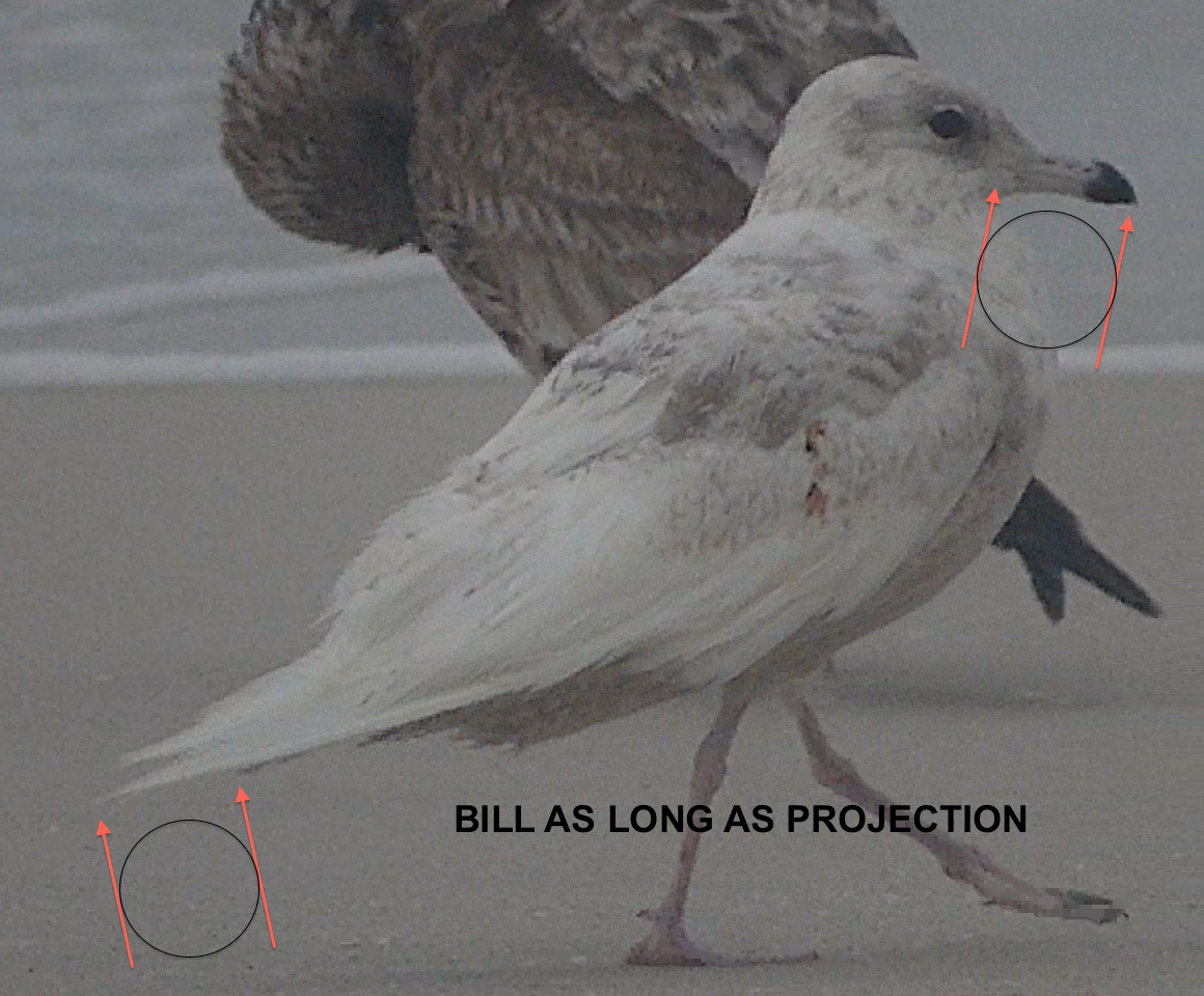
Iceland Gull 16 MAR 2014 in Okaloosa Co FL

Dribble castle

Portofino view
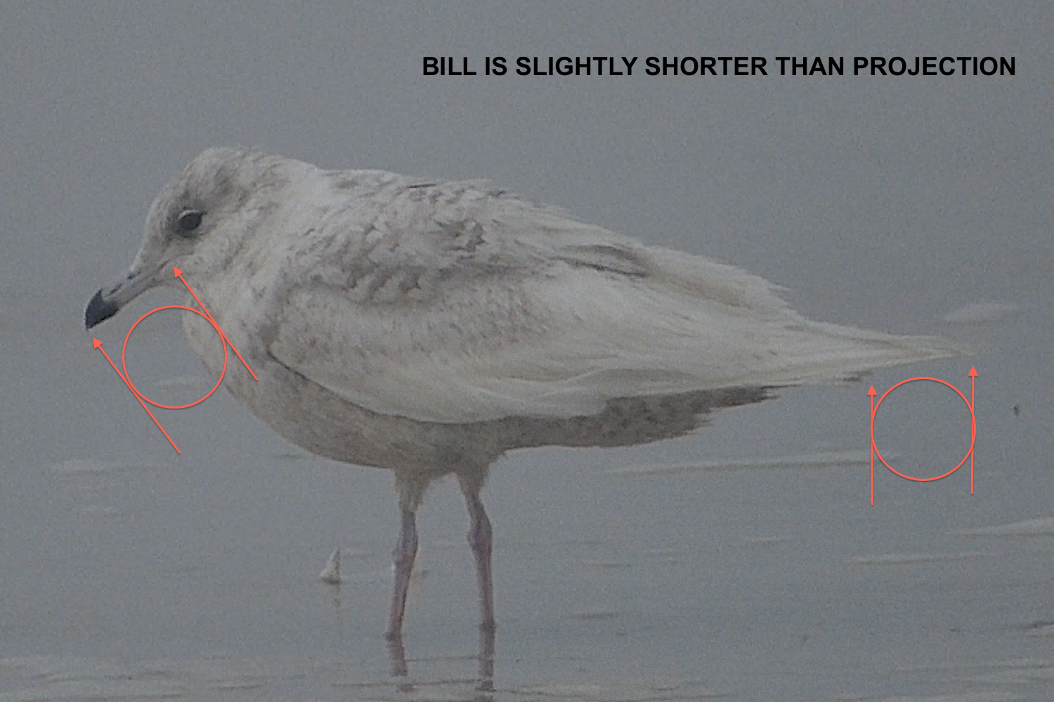
Iceland Gull 16 MAR 2014 in Okaloosa Co FL
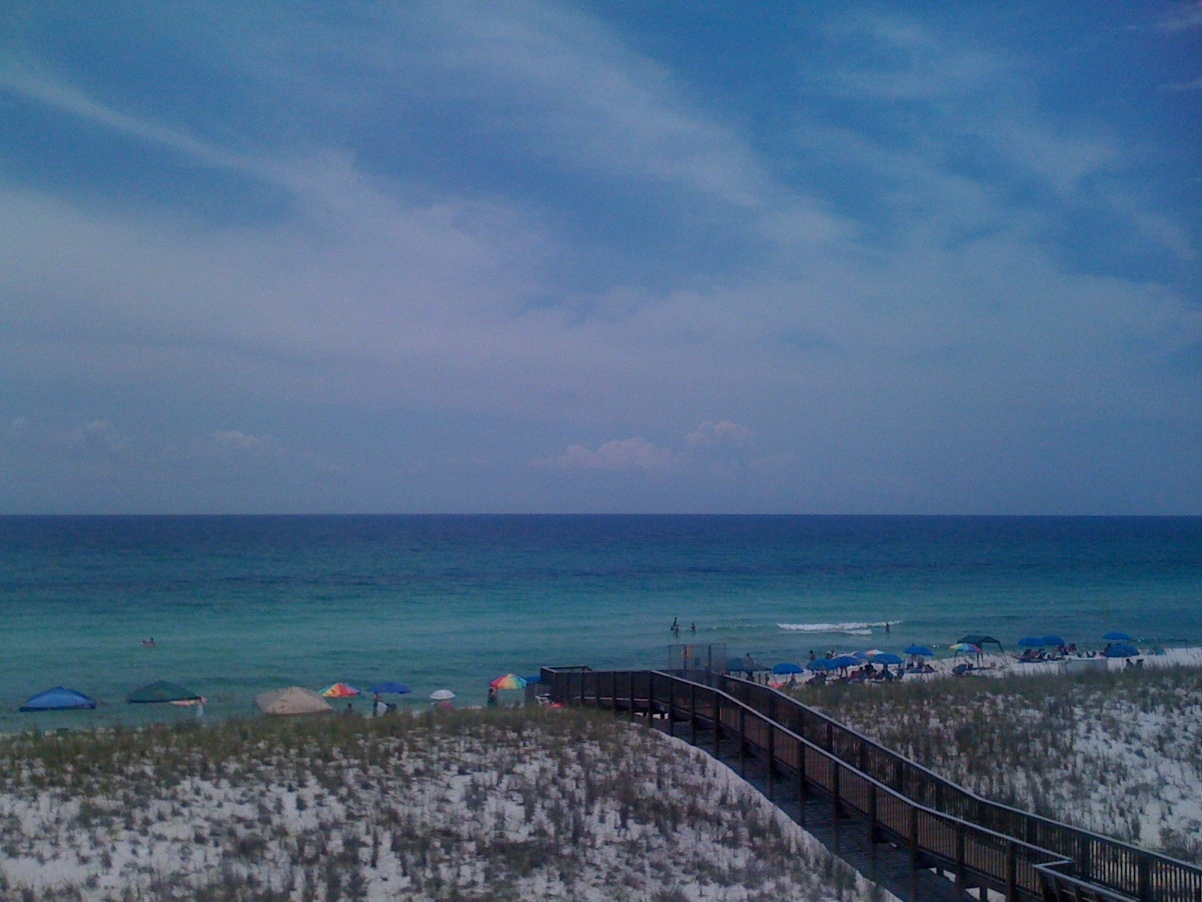
Todays View

Bird's eye view
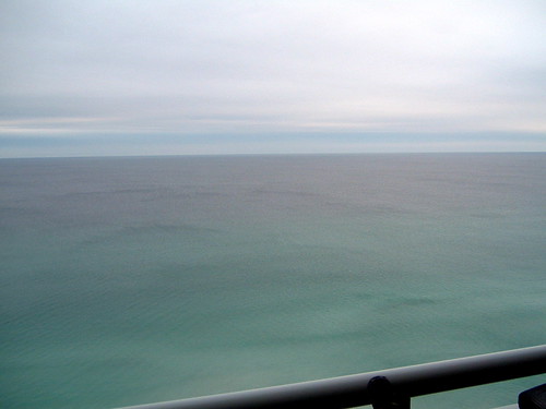
Gulf to the South
View from the Balcony

Sandcastle - view through the window

Iceland Gull 16 MAR 2014 in Okaloosa Co FL
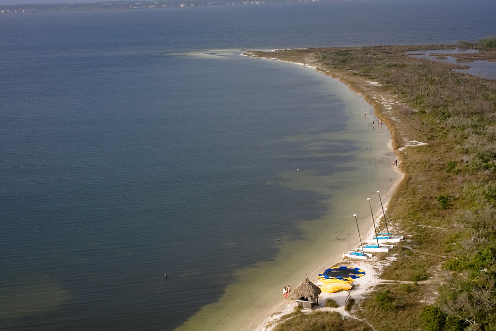
Santa Rosa Island

Portofino - pool view
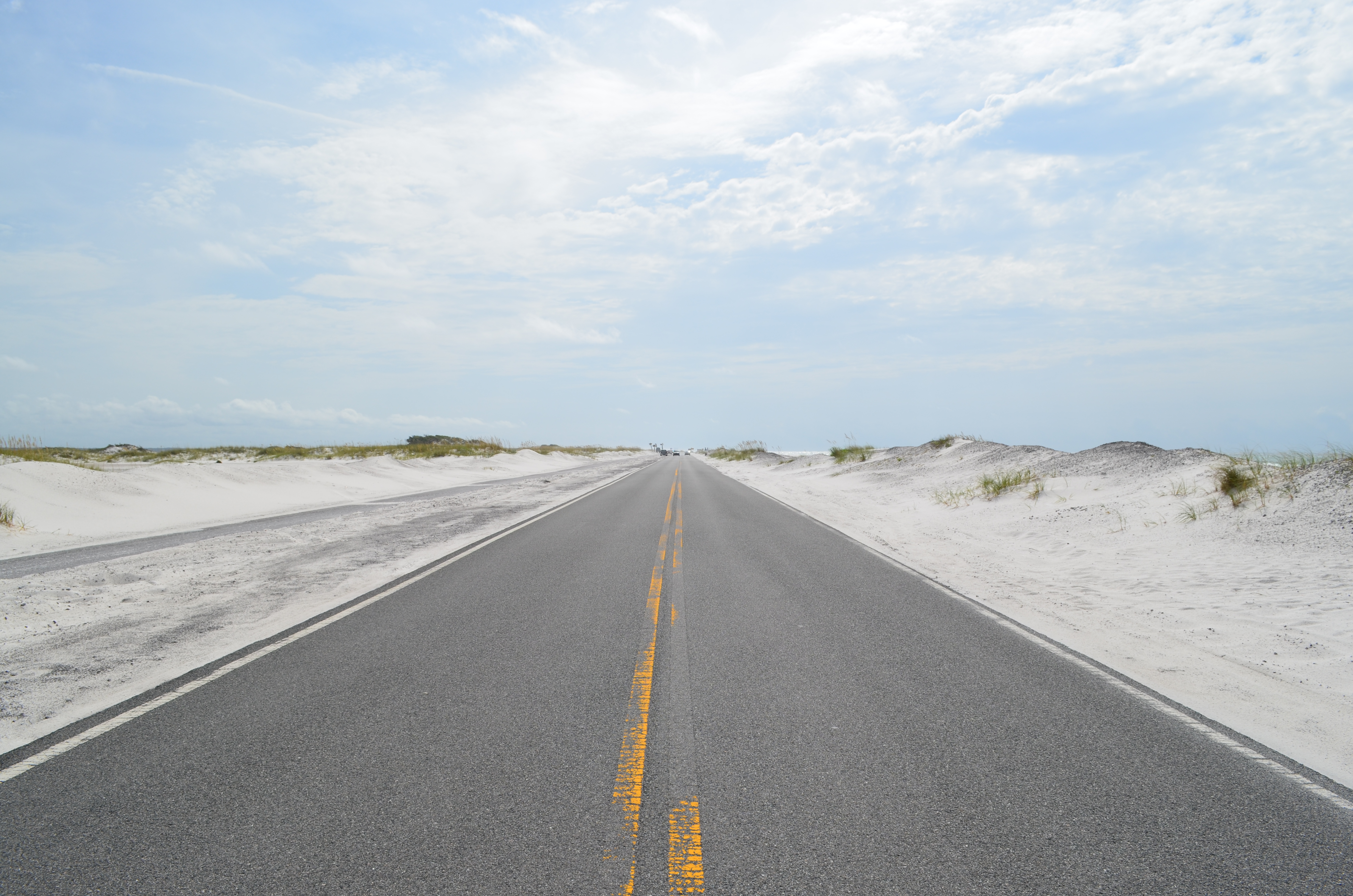
Gulf Islands Nat'l Seashore, Florida
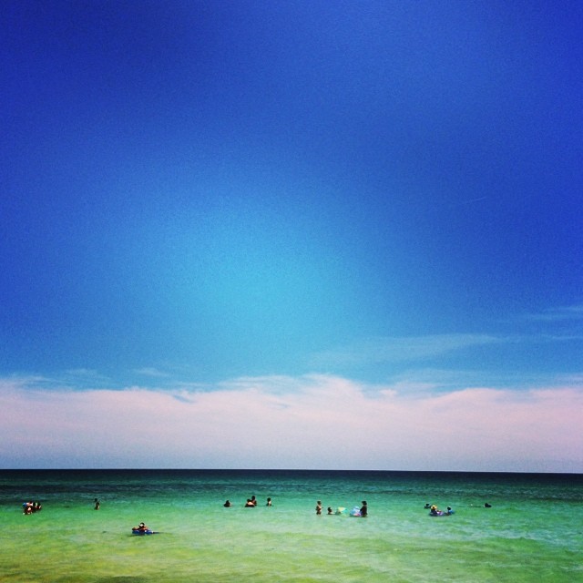
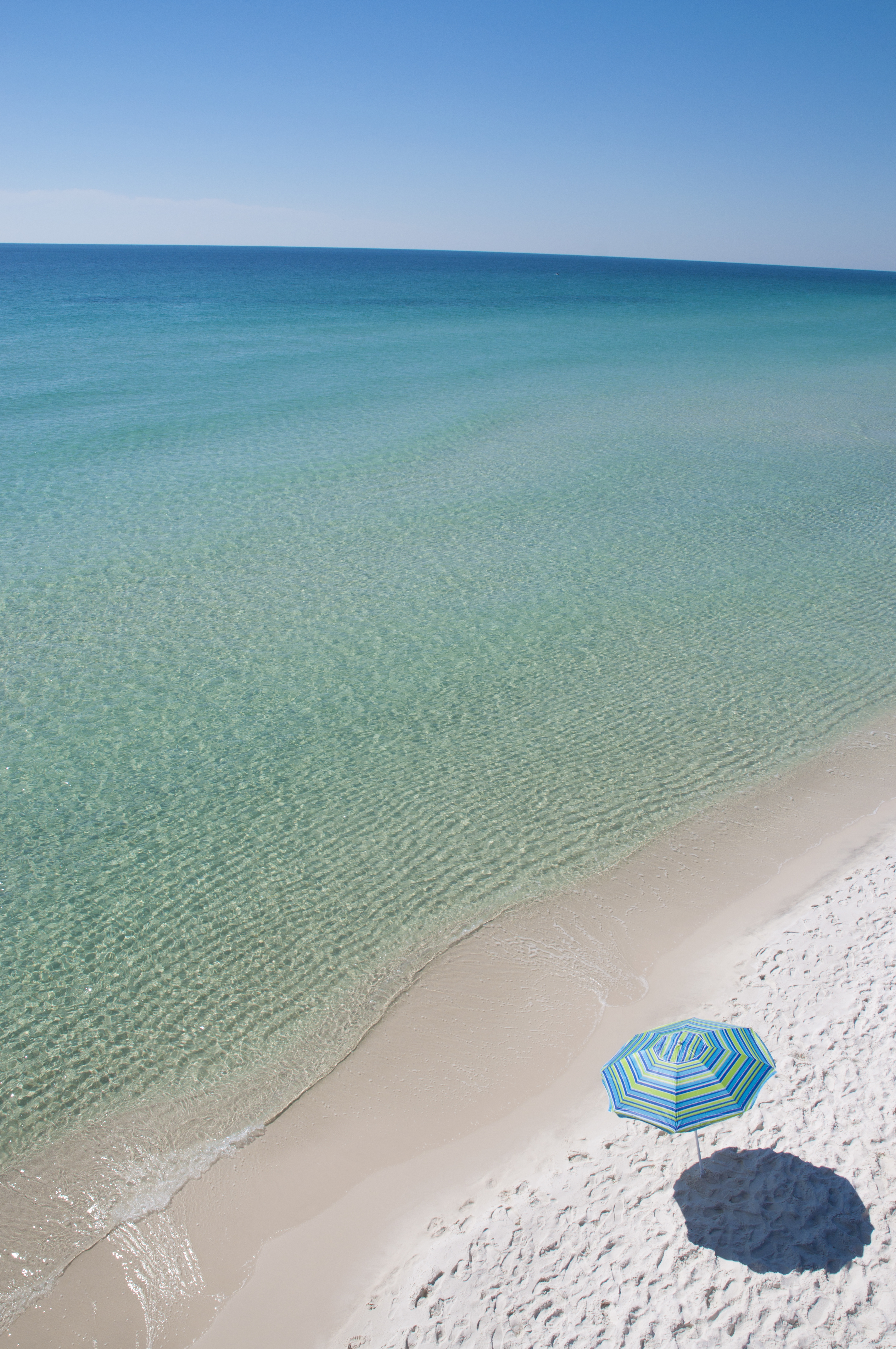
This is why they named it the Emerald Coast || #navarrebeach #florida #emeraldcoast
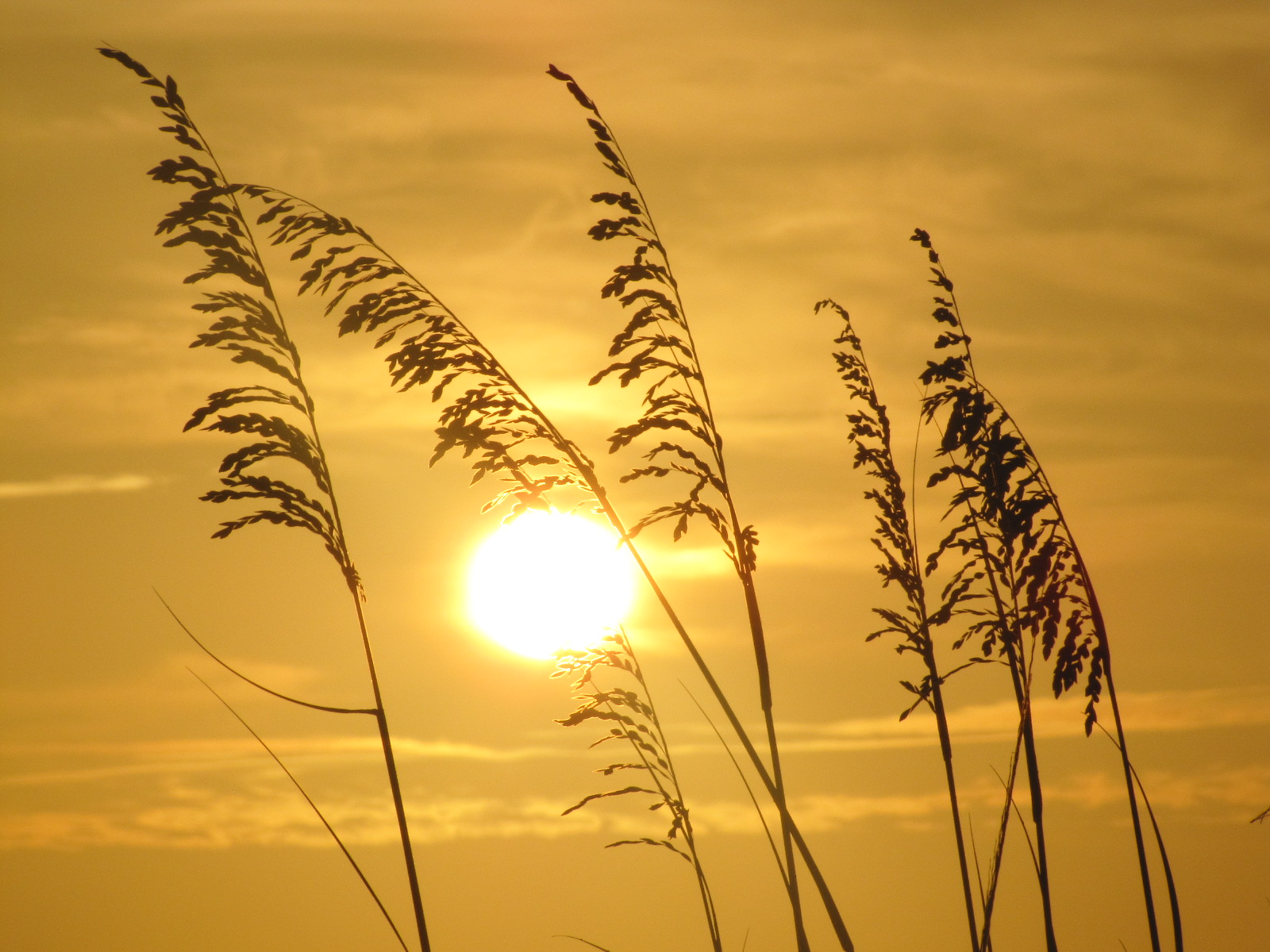
Sun sea oats3
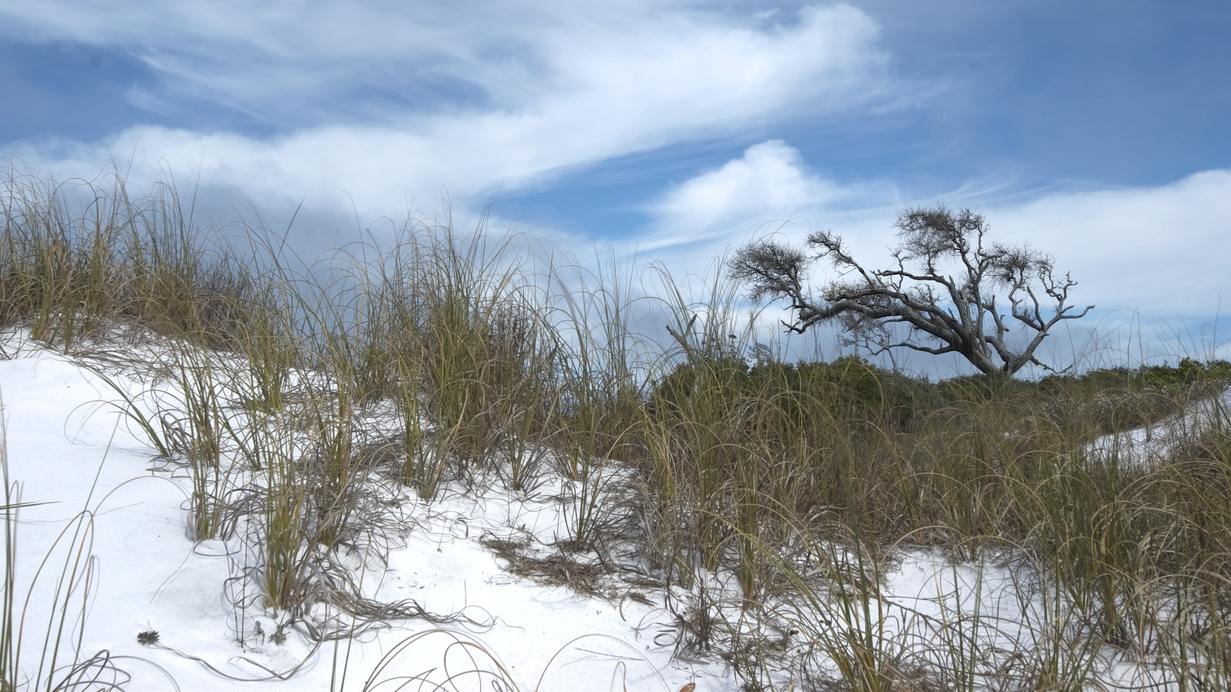
Tree on a Sea of Sand

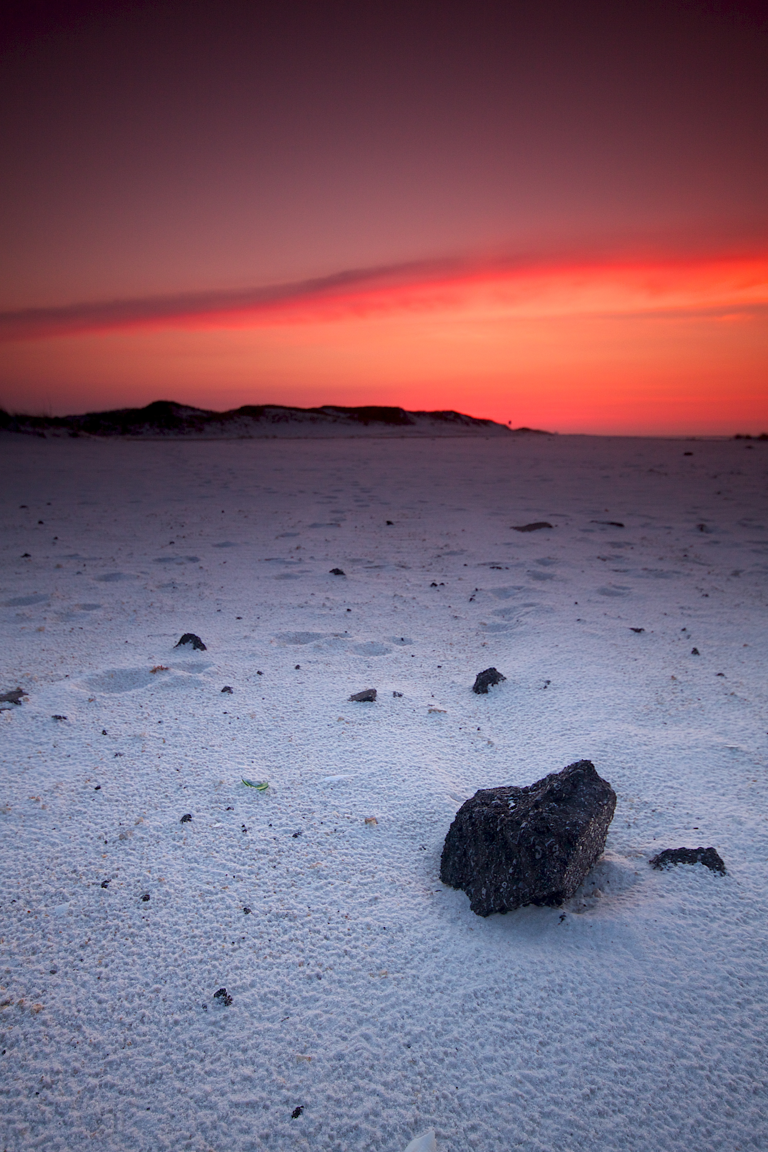
Santa Rosa Island Sunset

north13-R1-038-17A
north13-R1-050-23A
Beautiful sunny day
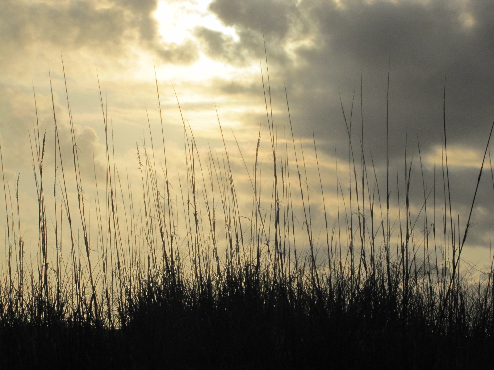
Sea oats morning

Pensacola Florida, Highway 399, Lot G
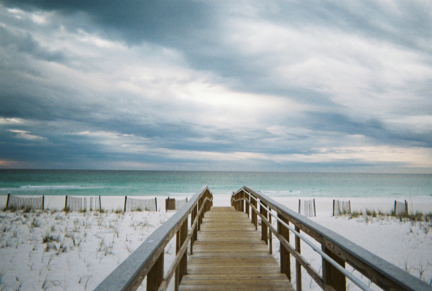
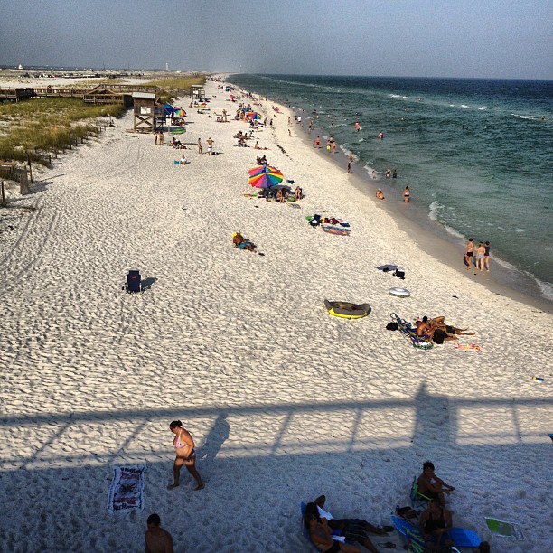
Navarre Beach Park, Florida
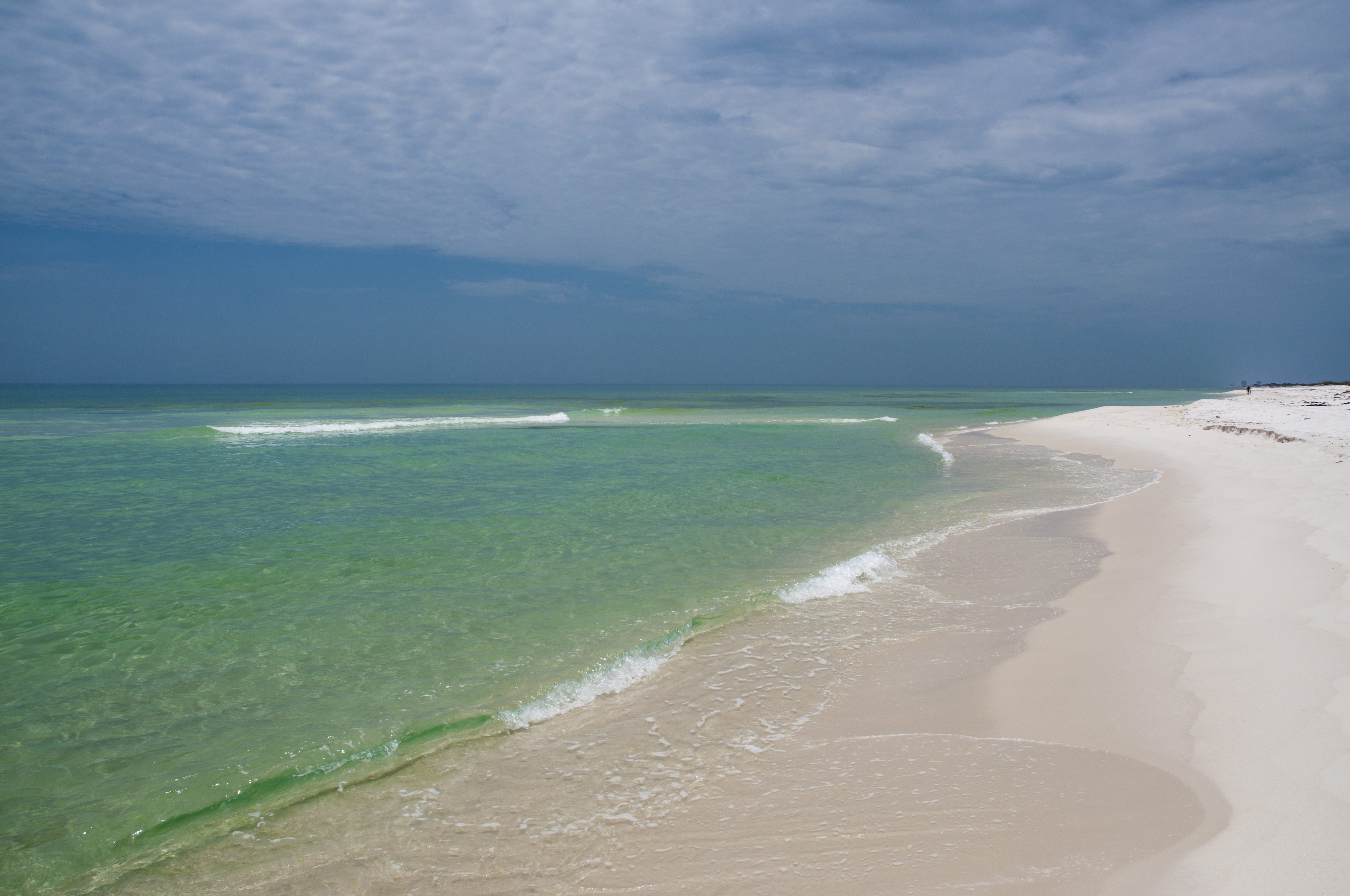
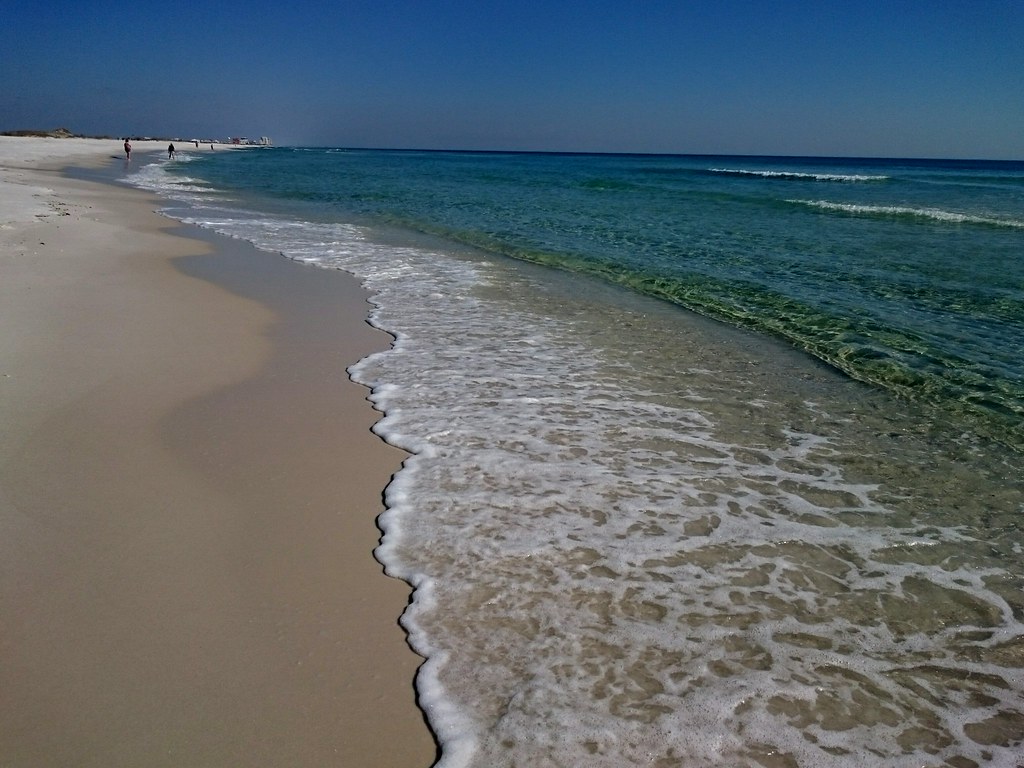
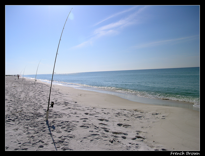
Navarre Beach, Florida
Beautiful day
north13-R1-028-12A

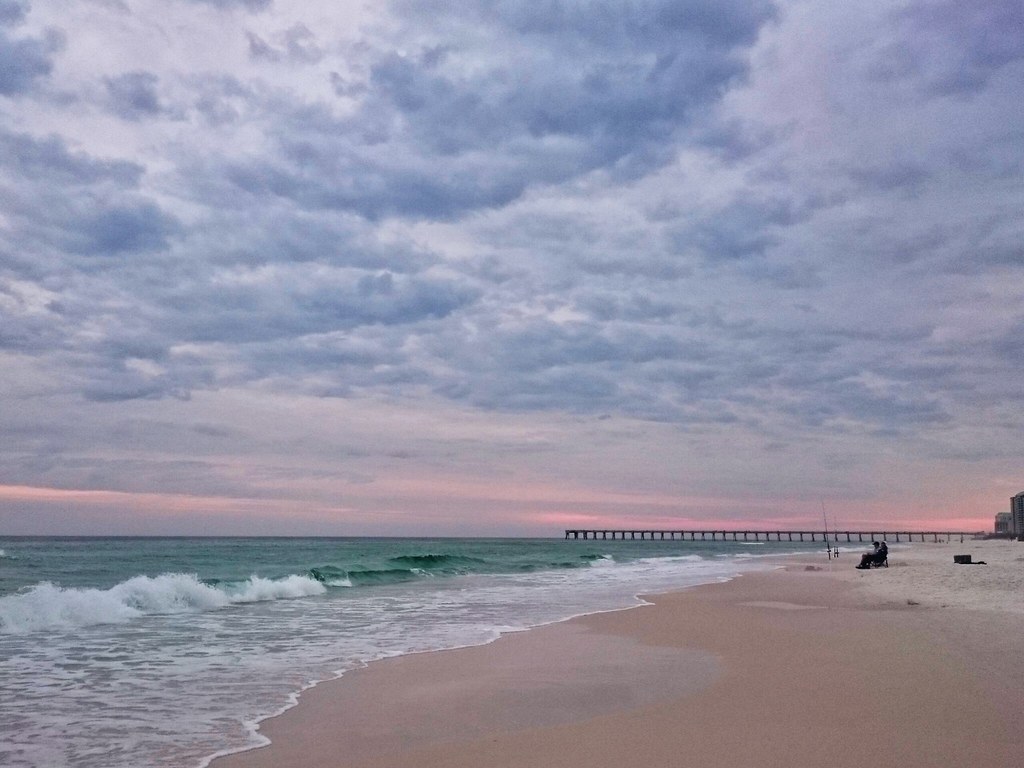
Morning Sunrise
waiting game

Freshwater Pond, Santa Rosa Island, Santa Rosa Sound, Santa Rosa Unit, Gulf Islands National Seashore, Escambia County, Florida 2

Spent the day watching dolphins & bald eagles on the beach

Pensacola, FL - 2014
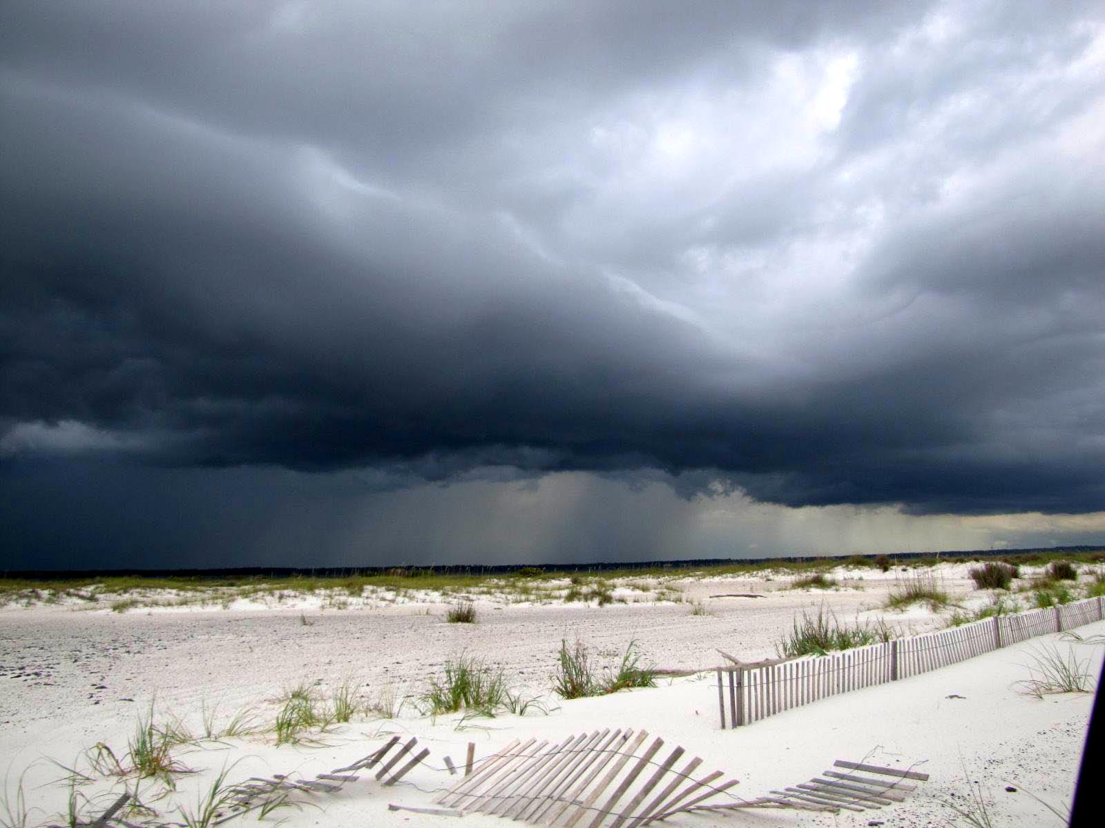
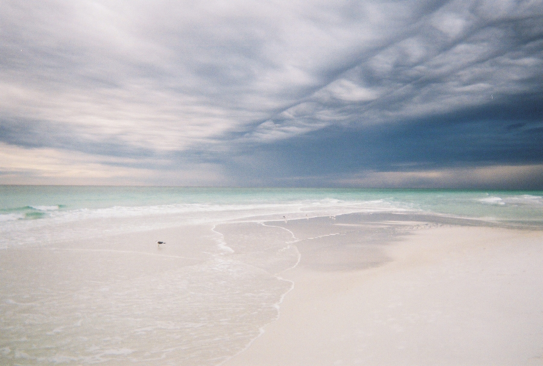
Storm developing 3_edited-1

Silvery twilight - by invitation
Topographic Map of Sea Crab Cir, Navarre, FL, USA
Find elevation by address:

Places near Sea Crab Cir, Navarre, FL, USA:
6913 Sea Trout Cir
Sea Trout Circle
1799 Brooke Beach Dr
1774 Brooke Beach Dr
Holley By The Sea Recreation Center
1798 Brooke Beach Dr
Castnet Drive
1466 Nautilus Dr
6954 Elliots Gin Ln
6843 Perch St
1407 Nautilus Dr
1443 Nautilus Dr
6765 Tidewater Dr
1776 Sound Hammock Dr
1986 Reagan Rd
1986 Reagan Rd
7140 Blue Jack Dr
7161 Blue Jack Dr
7190 Blue Jack Dr
6748 Marlin St
Recent Searches:
- Elevation of Luther Road, Luther Rd, Auburn, CA, USA
- Elevation of Unnamed Road, Respublika Severnaya Osetiya — Alaniya, Russia
- Elevation of Verkhny Fiagdon, North Ossetia–Alania Republic, Russia
- Elevation of F. Viola Hiway, San Rafael, Bulacan, Philippines
- Elevation of Herbage Dr, Gulfport, MS, USA
- Elevation of Lilac Cir, Haldimand, ON N3W 2G9, Canada
- Elevation of Harrod Branch Road, Harrod Branch Rd, Kentucky, USA
- Elevation of Wyndham Grand Barbados Sam Lords Castle All Inclusive Resort, End of Belair Road, Long Bay, Bridgetown Barbados
- Elevation of Iga Trl, Maggie Valley, NC, USA
- Elevation of N Co Rd 31D, Loveland, CO, USA