Elevation of Sea Bourne Way, Sunset Beach, NC, USA
Location: United States > North Carolina > Brunswick County > Shallotte > Sunset Beach >
Longitude: -78.526847
Latitude: 33.904352
Elevation: 13m / 43feet
Barometric Pressure: 101KPa
Elevation Map:
Satellite Map:
Related Photos:

A wave crashes along the NC/SC boundary
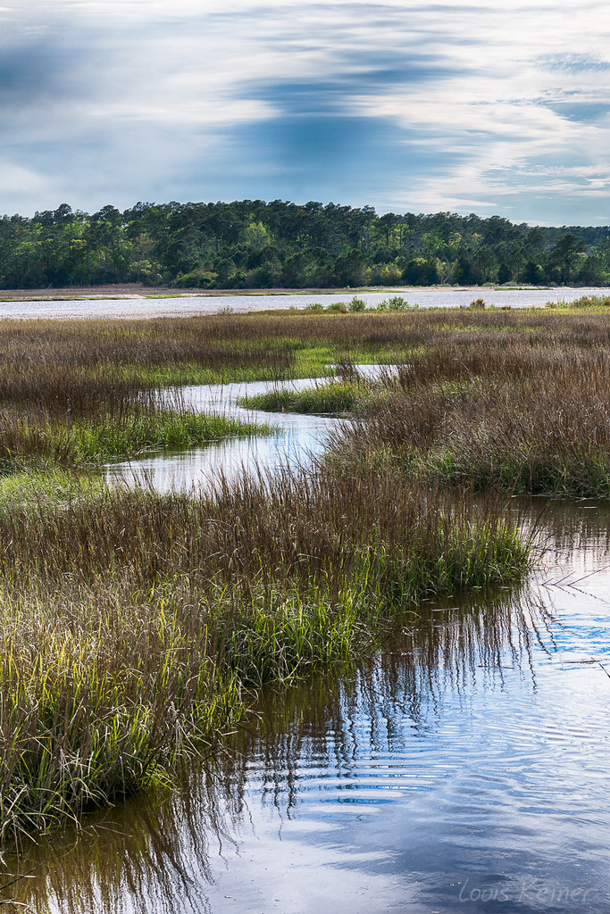
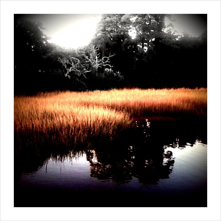
Day 901 - Sunset Over The Marsh
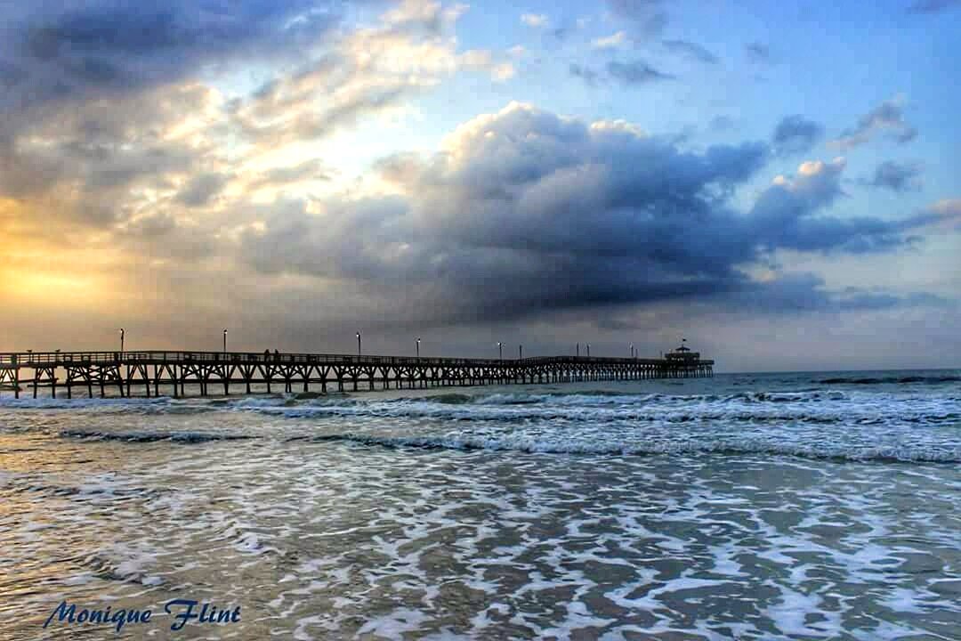
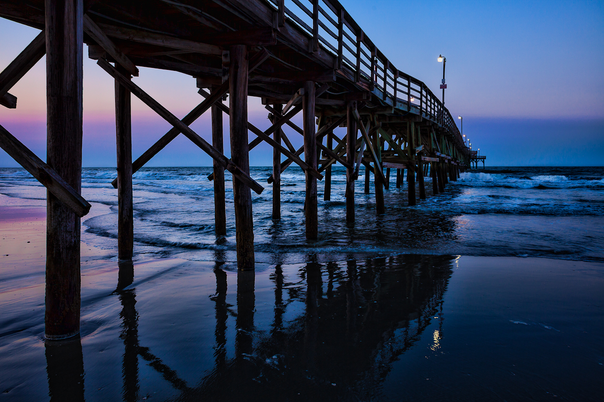
Morning at the Pier

Just before sunrise at the beach ????????
LK_20120520_0028-sm
Give Me Silver, Blue and Gold
LK_20170408_0170_HDR-sm
Beach gallery-1
Cherry Grove Pier
LK_20140727_0101_HDR-sm
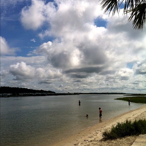
Head In The Clouds #northcarolina #oceanisle #intercoastalwaterway #ferrylandingpark
Coquina Harbor

Castles in the sand
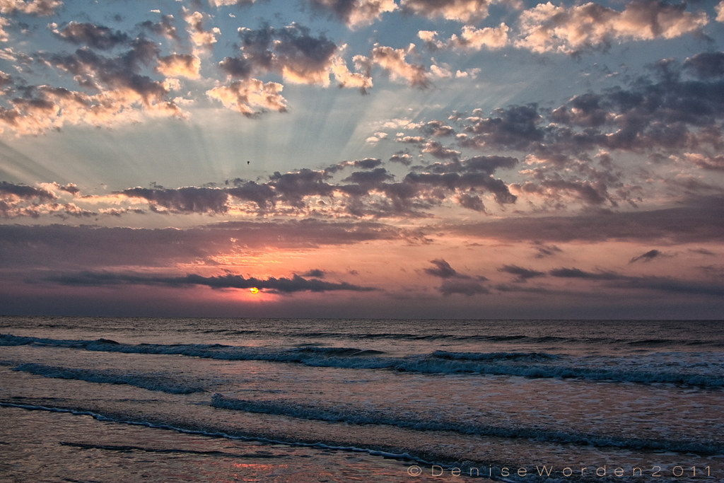
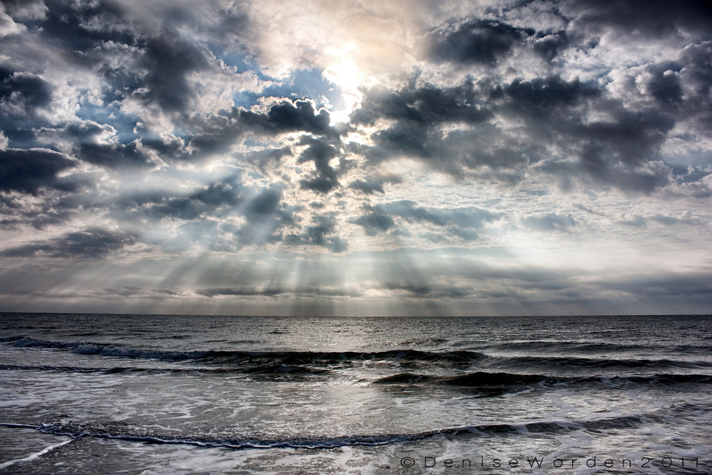
...And The Sun That Lights The Day
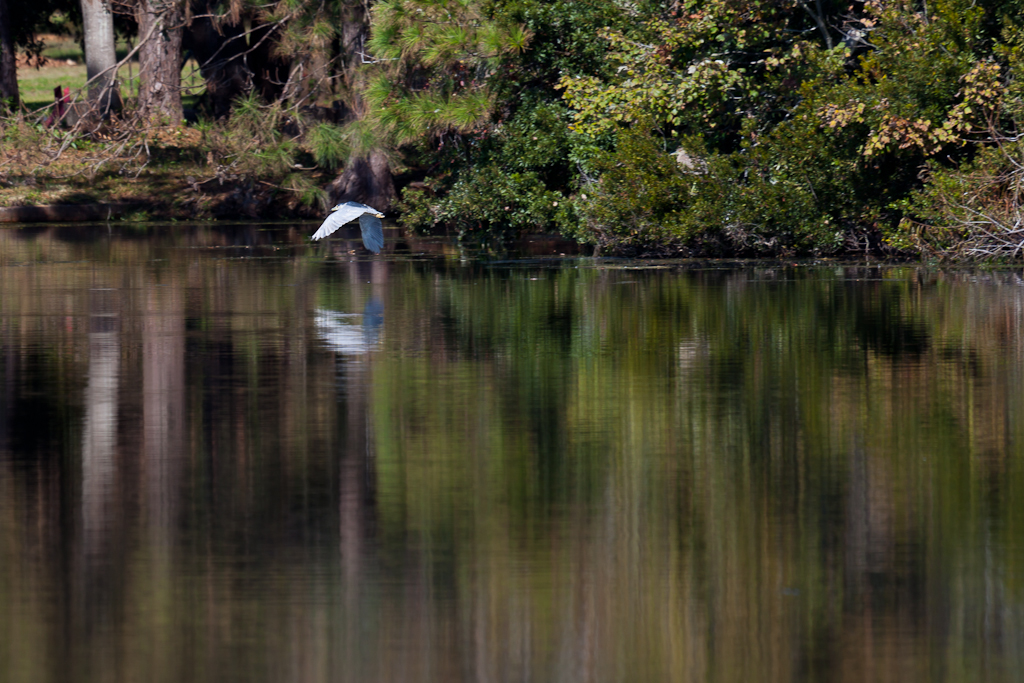
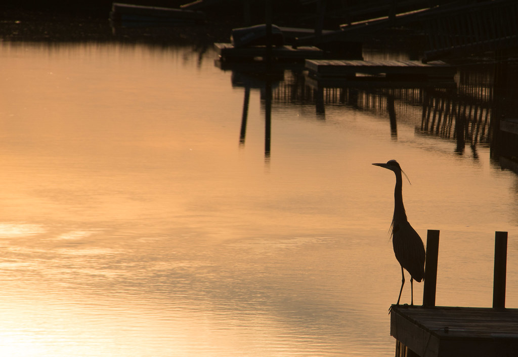
Black-crowned Night Herons
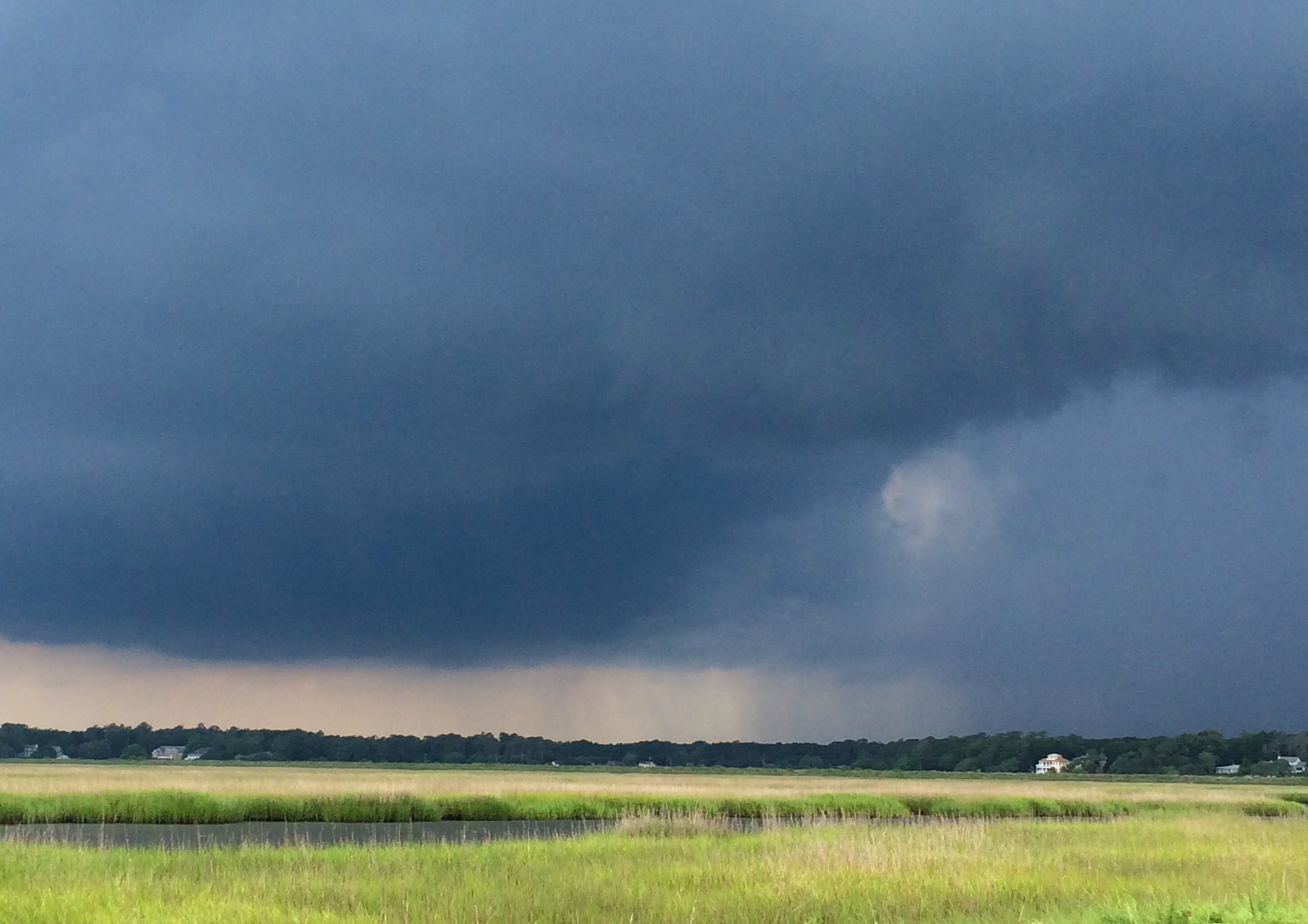
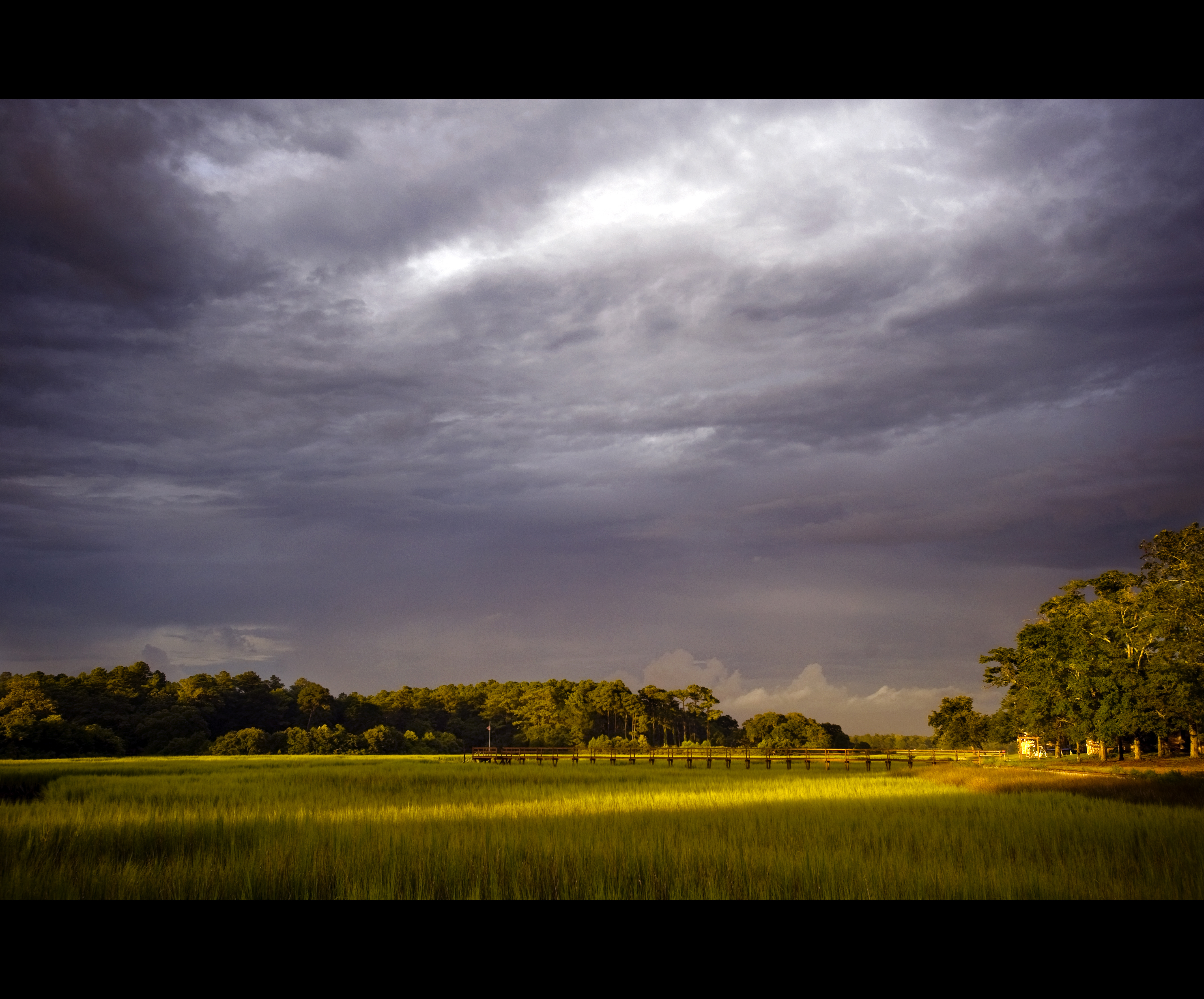
Thunderstorm approaching Sea Trail.
It will all be under water soon.
ripples-1
Beachcombing 265/365

Ocean Isle Beach, North Carolina, June 2011
Bird-Great Egret
Topographic Map of Sea Bourne Way, Sunset Beach, NC, USA
Find elevation by address:

Places near Sea Bourne Way, Sunset Beach, NC, USA:
1107 Sea Bourne Way
1097 Sea Bourne Way
1096 Sea Bourne Way
534 Planter's Ridge Dr
525 Planter's Ridge Dr
296 Crooked Gulley Cir
Ox Cart Place
719 Bermuda Walk
715 Bermuda Walk
Planter's Ridge Drive
111 Discovery Lake Dr
216 Baroney Pl Dr
218 Baroney Pl Dr
Sea Trail Golf Resort & Convention Center
710 Sunset Lakes Blvd Sw
1658 Pearl Blvd Sw
1590 Pearl Blvd Sw
161 New Haven Ct
123 Bellwood Cir
514 Medcalf Dr Sw
Recent Searches:
- Elevation of Elwyn Dr, Roanoke Rapids, NC, USA
- Elevation of Congressional Dr, Stevensville, MD, USA
- Elevation of Bellview Rd, McLean, VA, USA
- Elevation of Stage Island Rd, Chatham, MA, USA
- Elevation of Shibuya Scramble Crossing, 21 Udagawacho, Shibuya City, Tokyo -, Japan
- Elevation of Jadagoniai, Kaunas District Municipality, Lithuania
- Elevation of Pagonija rock, Kranto 7-oji g. 8"N, Kaunas, Lithuania
- Elevation of Co Rd 87, Jamestown, CO, USA
- Elevation of Tenjo, Cundinamarca, Colombia
- Elevation of Côte-des-Neiges, Montreal, QC H4A 3J6, Canada