Elevation of SE th Ave, Vancouver, WA, USA
Location: United States > Washington > Clark County > Vancouver > Bennington >
Longitude: -122.50121
Latitude: 45.6132261
Elevation: 87m / 285feet
Barometric Pressure: 100KPa
Elevation Map:
Satellite Map:
Related Photos:

When ambition ends, happiness begins…

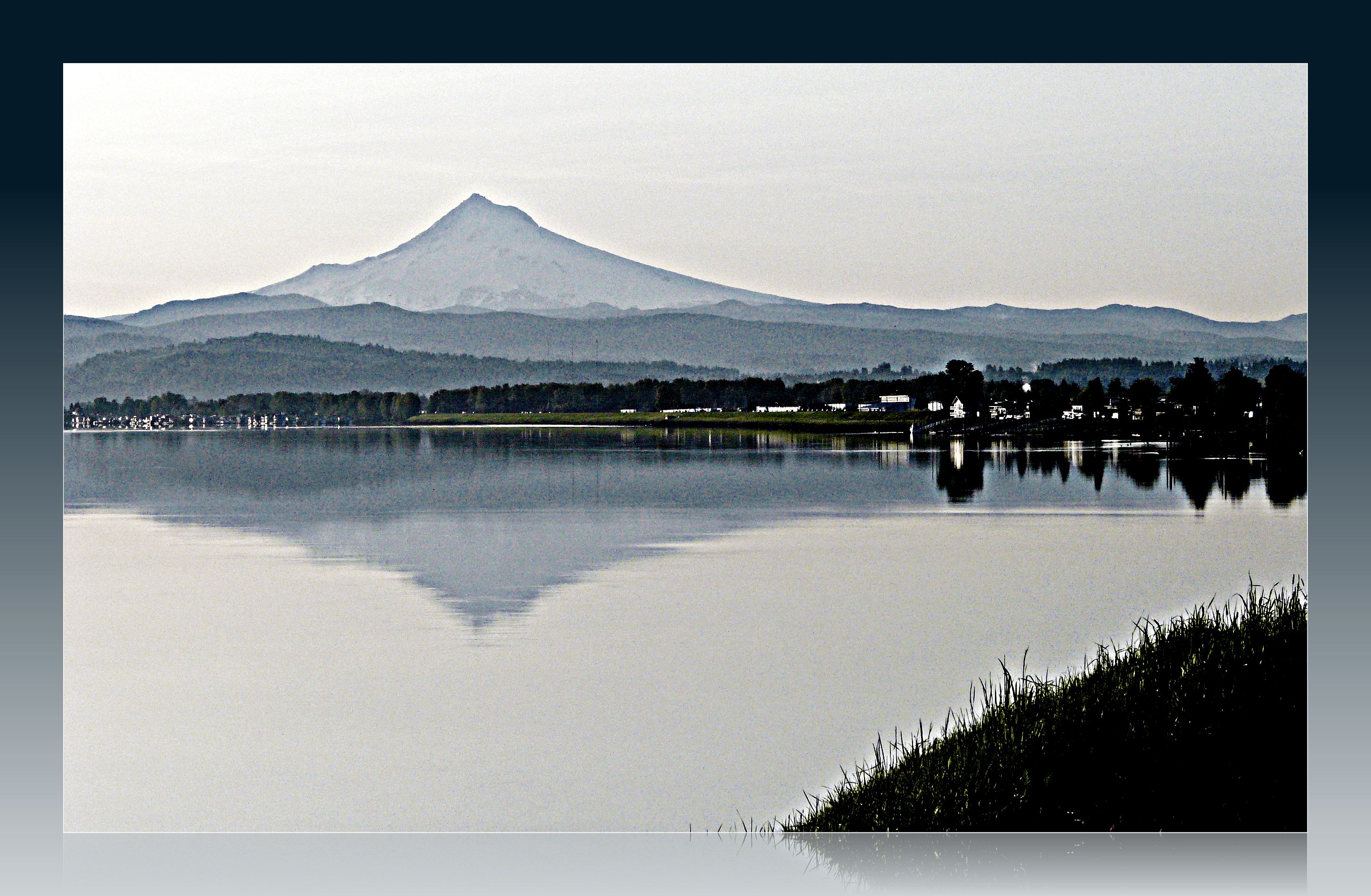
Majestic Mt Hood towering over floating homes along Columbia River . . . . #mounthood #floatinghouse #columbiariver #traveloregon #jj_westcoast #jj_oregon #gramkillerz #portlandlife #mthoodterritory #columbiarivergorge #exploreoregon #purplepassport #expl

Pleasant evening on the Columbia River

The Interstate 5 Columbia River Crossing at Blue Hour . . . . #interstate5 #columbiarivercrossing #bluehourphotography #portland #travelportland #exploreportland #columbiariver #travelwashington #explorewashington #pacificnorthwest #pnwisbeautiful #pnwond

Slight delay

balancing act
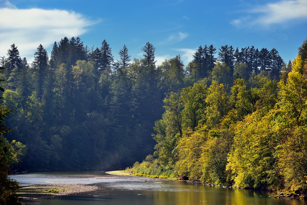
A Setting of Trees Along the Sandy River

Lazuli Bunting
Rub the Sleep From Your Eyes

I-205 Bridge from Final Approach to Portland Airport (PDX)

Interstate Bridge across the Columbia River

Into the Green Unknown

Leavin' on a Jet Plane
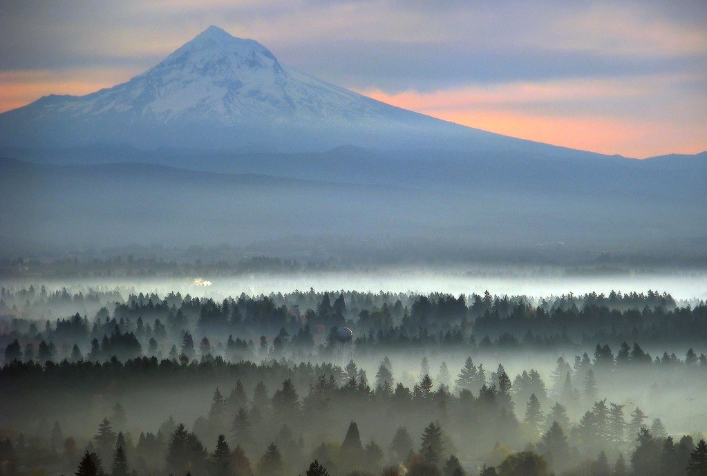
Just another spectacular Mount Hood view

_DSC7900-4

Cross Spider (Araneus diadematus, Araneidae) in Oregon

DSC07685 (2) Marine Drive & 205, Mt. Hood

LACAMAS HERITAGE TRAIL Collage

Diagonal Dots 7

BNSF 1002 Diesel Train Heritage One Colors!

Send Me Home

Washougal, Washington

Washougal, Washington

il fiume va (sa dove andare)

Washougal, Washington

Washougal, Washington

Golden Fields

Washougal, Washington
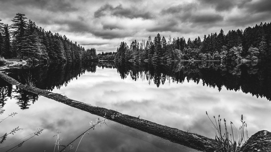
Lacamas Lake

... new growth forest [Try L]

Snow-capped moon-rise

Well, that snow didn’t last.

Moonrise Columbia River 307 D
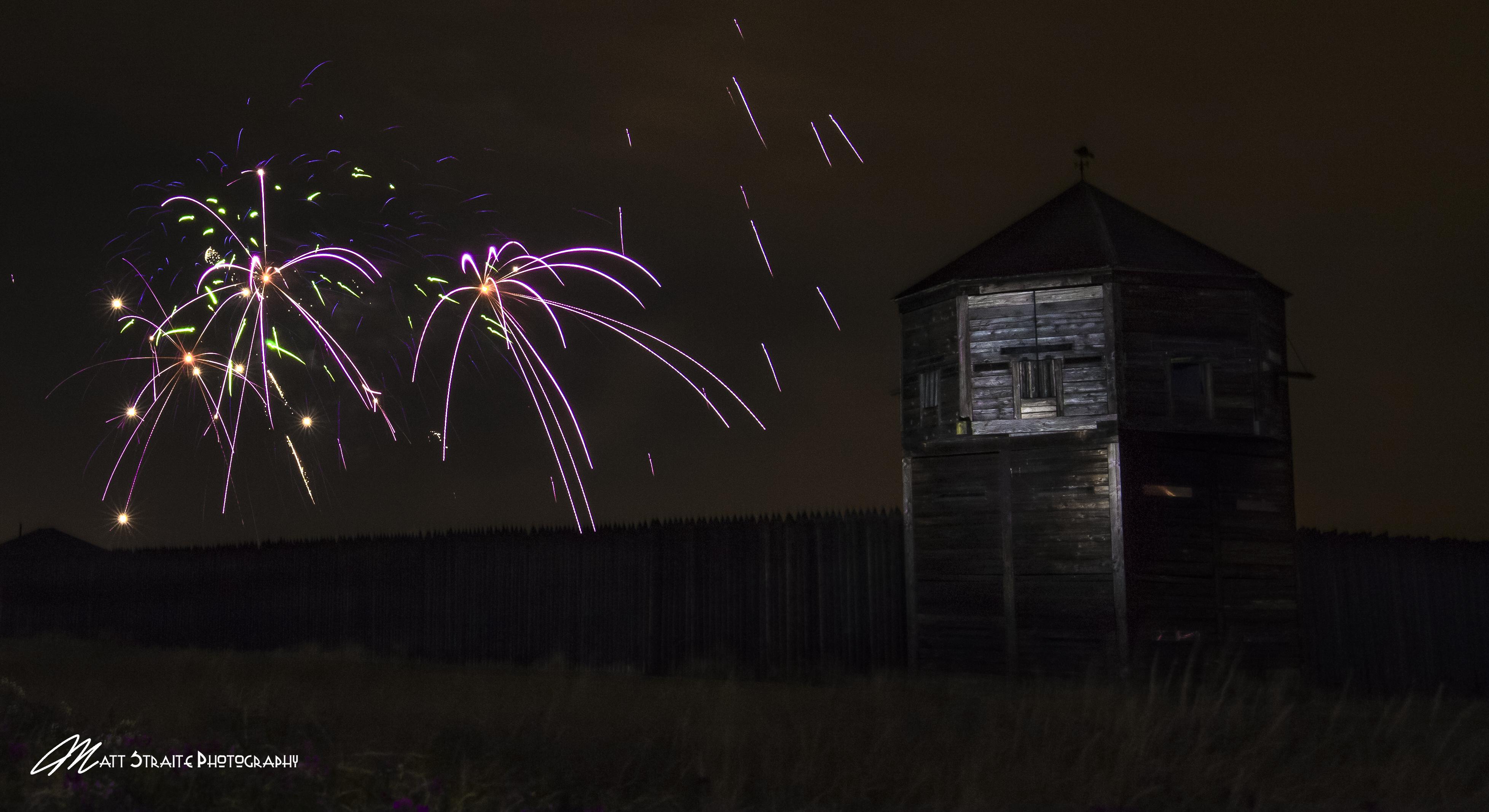
Fort Vancouver Fireworks

Competing Interests

Sunrise at Columbia Gorge

Road to bliss

Into the fog

Ellen Davis Trail
Topographic Map of SE th Ave, Vancouver, WA, USA
Find elevation by address:

Places near SE th Ave, Vancouver, WA, USA:
17005 Se 19th St
17103 Se 18th St
17311 Se 16th St
Cascade Highlands
1216 Se 177th Ave
15509 Se Mill Plain Blvd
2306 Se Baypoint Dr #98
15510 Se Sunpark Dr
16506 Se 29th St
2604 Se 171st Ct
1113 Se 179th Ct
17004 Se 28th St
Vancouver, WA, USA
2911 Se 170th Ave
Cascade Park East
2885 Se Village Loop
17218 Se 31st St
Fisher's Landing East
3405 Se 168th Ave
Fairway 164th
Recent Searches:
- Elevation of Leguwa, Nepal
- Elevation of County Rd, Enterprise, AL, USA
- Elevation of Kolchuginsky District, Vladimir Oblast, Russia
- Elevation of Shustino, Vladimir Oblast, Russia
- Elevation of Lampiasi St, Sarasota, FL, USA
- Elevation of Elwyn Dr, Roanoke Rapids, NC, USA
- Elevation of Congressional Dr, Stevensville, MD, USA
- Elevation of Bellview Rd, McLean, VA, USA
- Elevation of Stage Island Rd, Chatham, MA, USA
- Elevation of Shibuya Scramble Crossing, 21 Udagawacho, Shibuya City, Tokyo -, Japan