Elevation of SE Main St, Beaumont, KS, USA
Location: United States > Kansas > Butler County > Glencoe > Beaumont >
Longitude: -96.533099
Latitude: 37.658246
Elevation: 489m / 1604feet
Barometric Pressure: 96KPa
Elevation Map:
Satellite Map:
Related Photos:

Old Rock Building

Curious Bovine

Old Rock Building
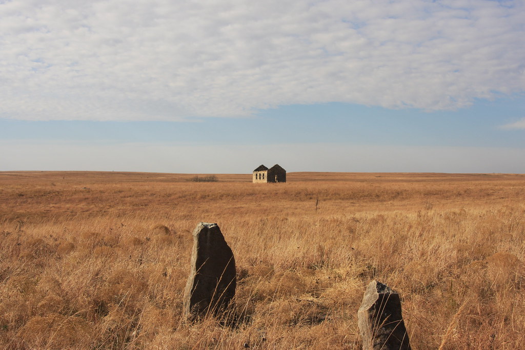
Tombstones by Little school/house/Church? on the prairie
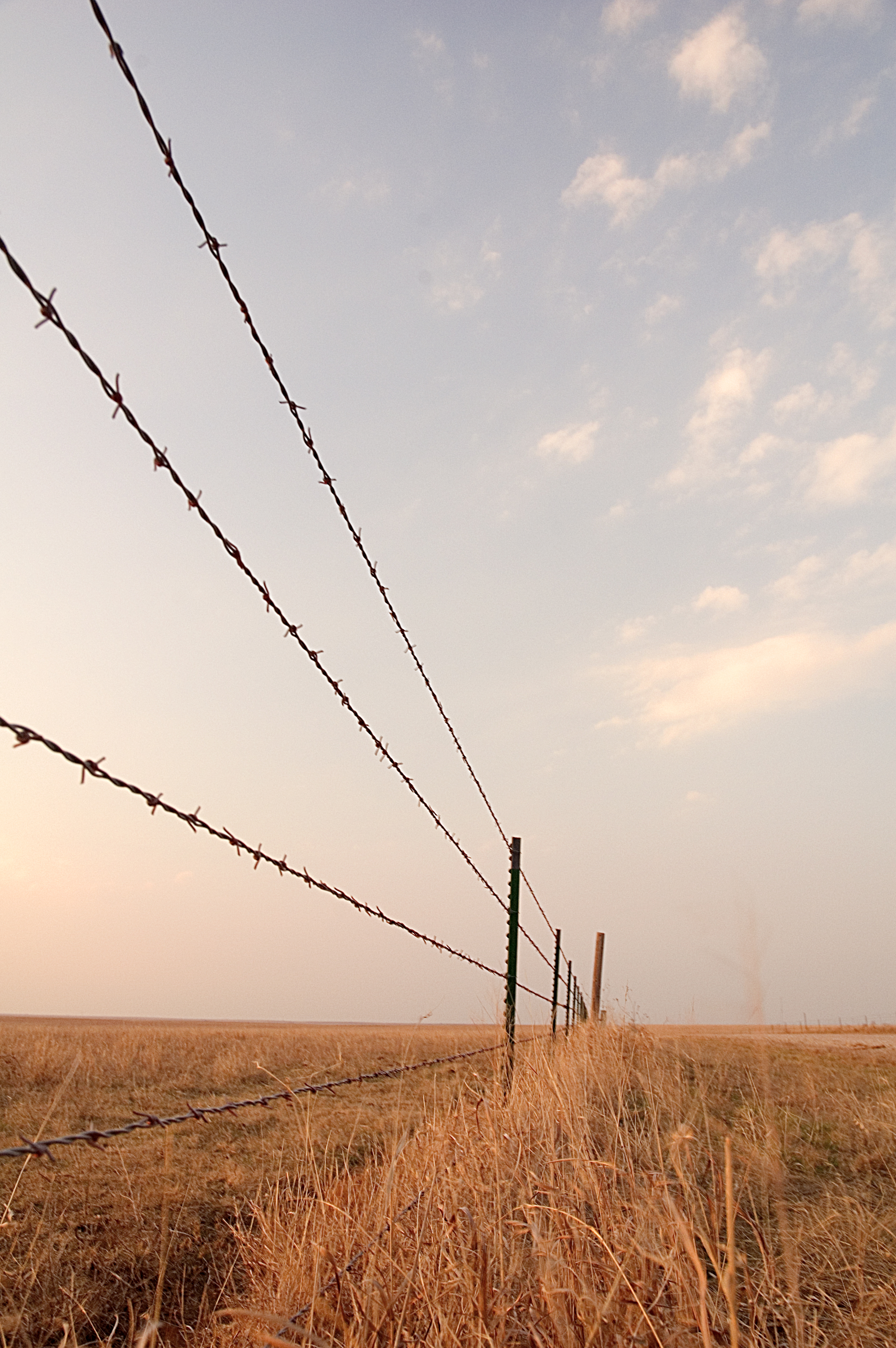
Barbed Wire Fence

Beaumont, Kansas

Wind Mills Near Beaumont

Old Rock Building

Old Rock Building

Old Rock Building

Old Rock Building

Old Rock Building

2013 Project 365 - 131

Old Rock Building

South of the Beaumont Rest Stop

Old Rock Building

Old Rock Building

Old Rock Building

Old Rock Building

Old Rock Building

Wind Mills Near Beaumont
Topographic Map of SE Main St, Beaumont, KS, USA
Find elevation by address:

Places near SE Main St, Beaumont, KS, USA:
Beaumont
Beaumont Hotel
Glencoe
Otter Creek
Union
Latham
Cherry St, Latham, KS, USA
802 9th St
11509 Se Parallel St
Harvey
Little Walnut
SE Price Rd, El Dorado, KS, USA
th Rd, Cambridge, KS, USA
Leon
N Olive St, Leon, KS, USA
Prospect
rd Rd, Cambridge, KS, USA
275th Road
Eureka
Prospect
Recent Searches:
- Elevation of Rojo Ct, Atascadero, CA, USA
- Elevation of Flagstaff Drive, Flagstaff Dr, North Carolina, USA
- Elevation of Avery Ln, Lakeland, FL, USA
- Elevation of Woolwine, VA, USA
- Elevation of Lumagwas Diversified Farmers Multi-Purpose Cooperative, Lumagwas, Adtuyon, RV32+MH7, Pangantucan, Bukidnon, Philippines
- Elevation of Homestead Ridge, New Braunfels, TX, USA
- Elevation of Orchard Road, Orchard Rd, Marlborough, NY, USA
- Elevation of 12 Hutchinson Woods Dr, Fletcher, NC, USA
- Elevation of Holloway Ave, San Francisco, CA, USA
- Elevation of Norfolk, NY, USA