Elevation of SE Hogan Rd, Gresham, OR, USA
Location: United States > Oregon > Multnomah County > Gresham >
Longitude: -122.41241
Latitude: 45.468324
Elevation: 167m / 548feet
Barometric Pressure: 99KPa
Elevation Map:
Satellite Map:
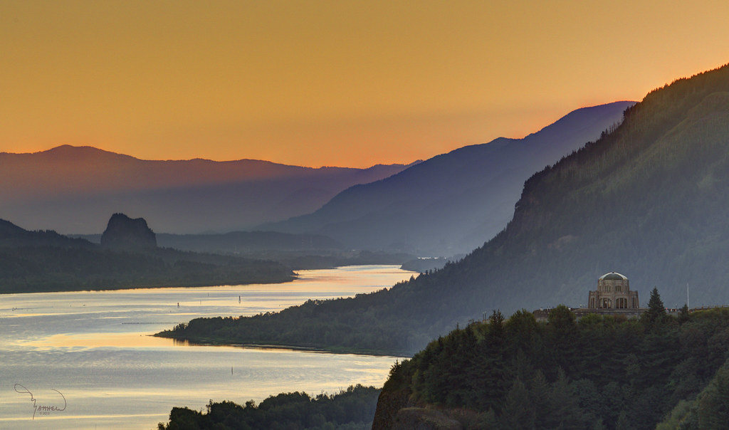
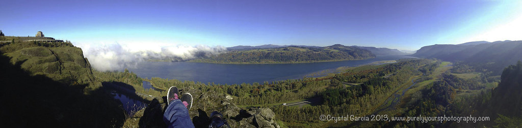
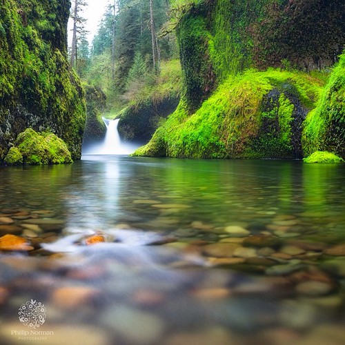
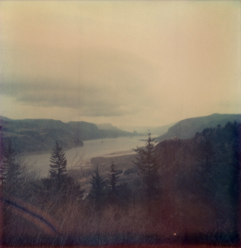
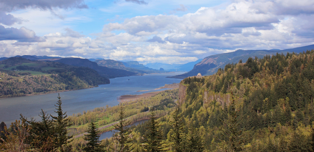
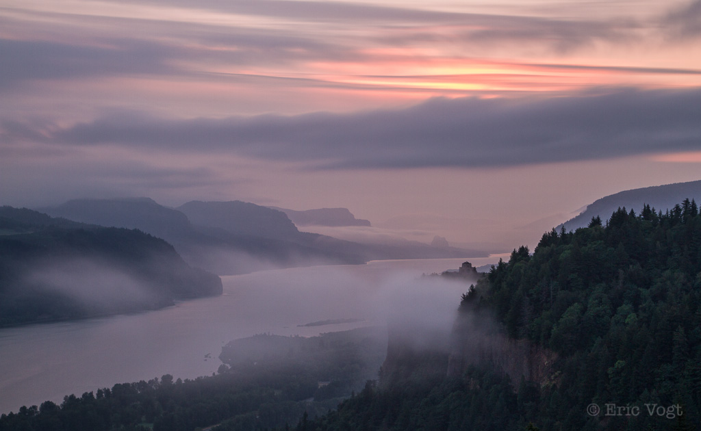
Related Photos:

balancing act
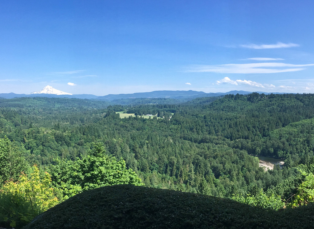
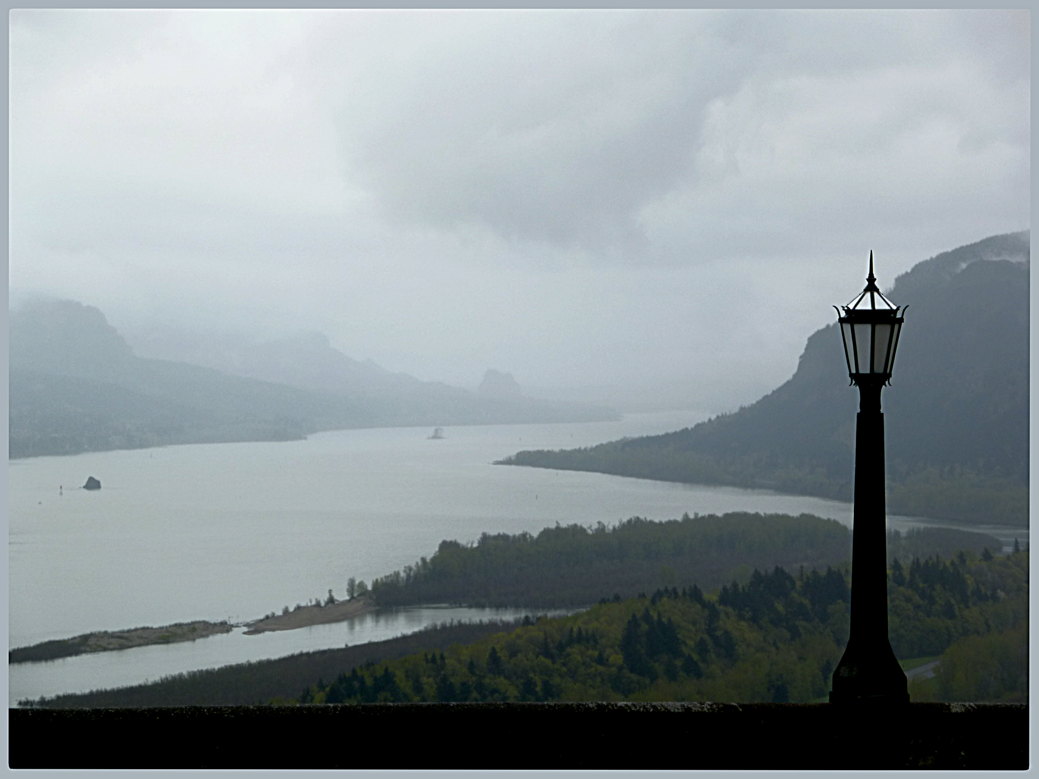
View from My Place
Rub the Sleep From Your Eyes
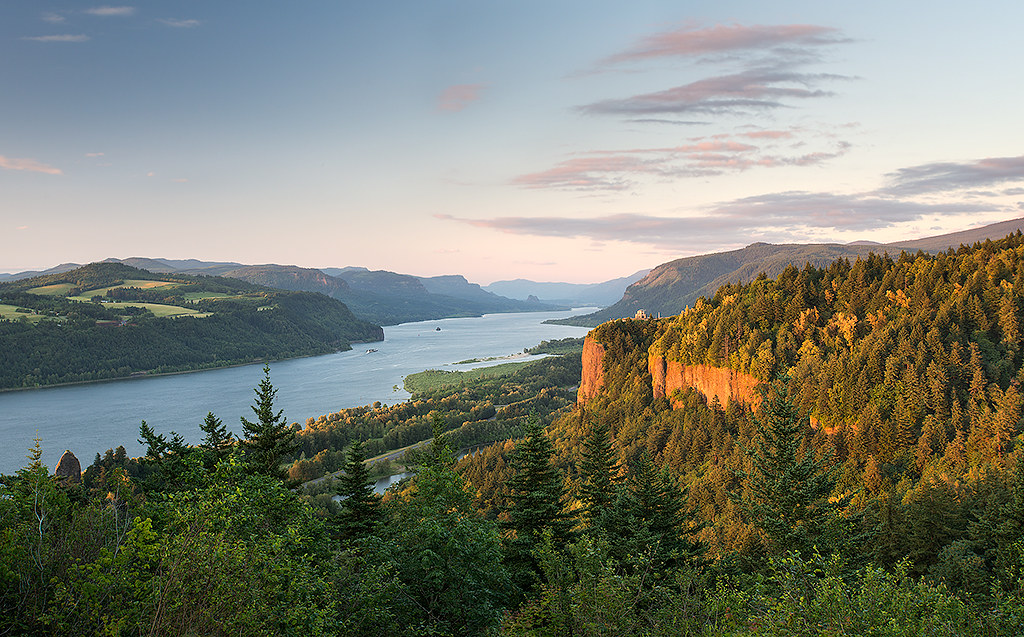
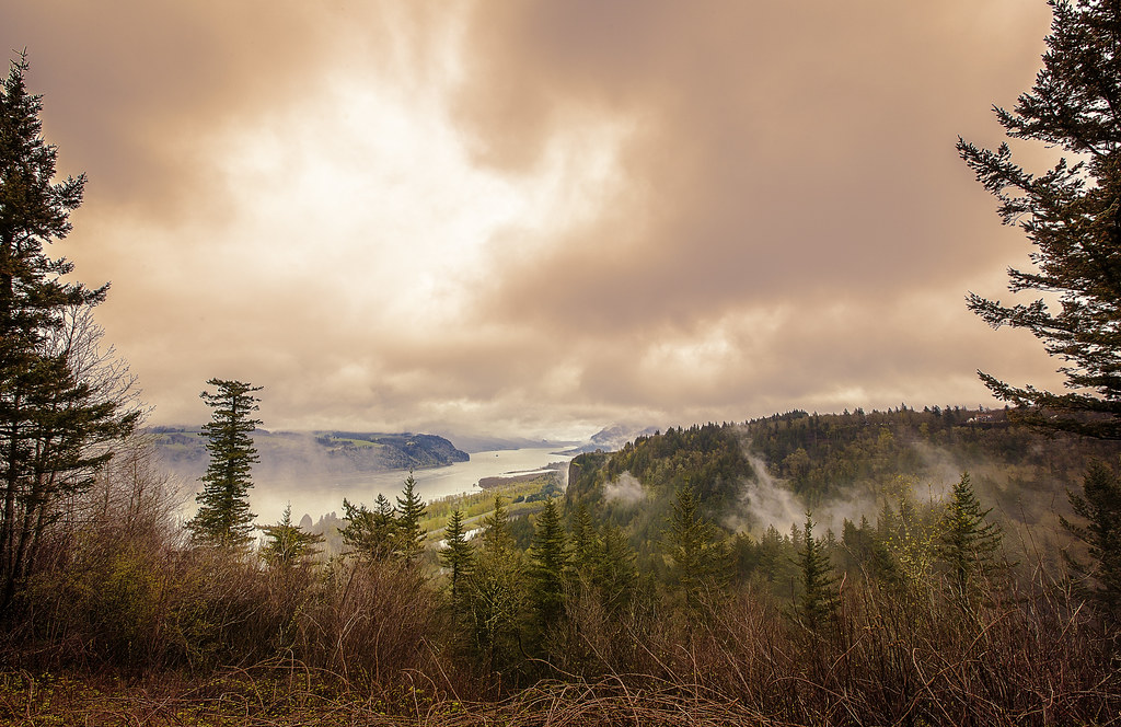
columbia gorge
Just living is not enough... one must have sunshine, freedom, and a little flower…
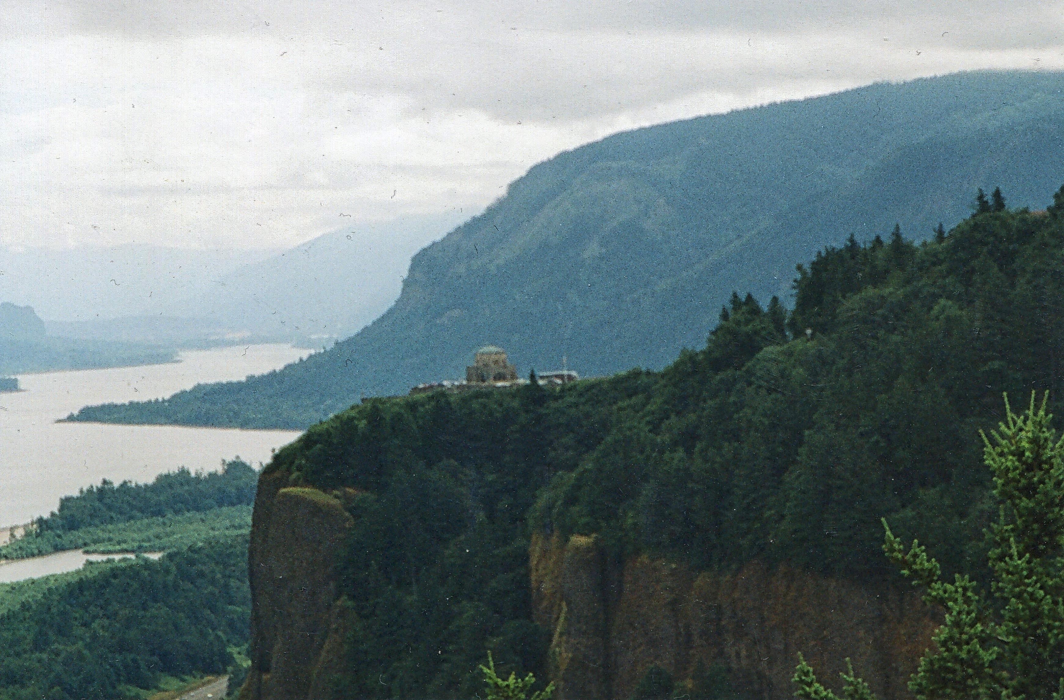
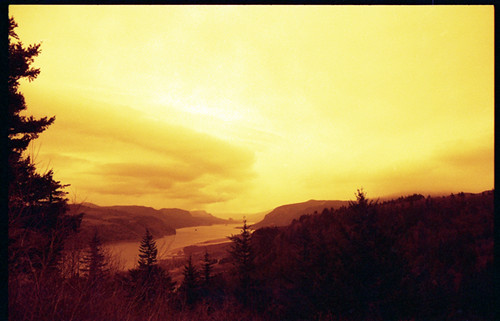
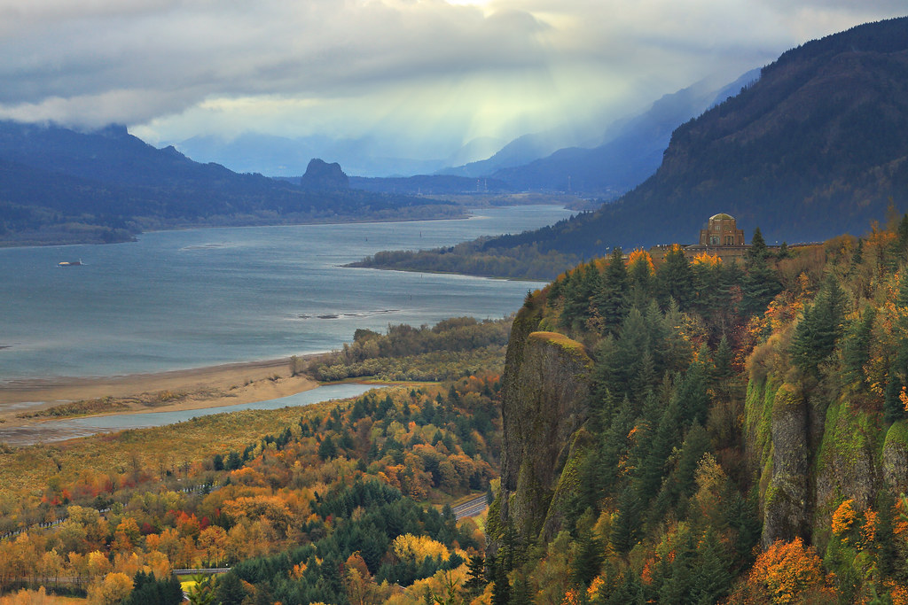
Vista House ~Oregon State ~ Columbia Gorge ~ My Old Photo

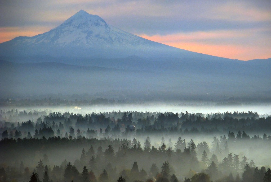
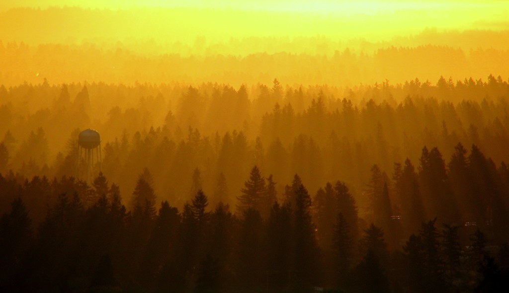
Awaiting Sunrise at Jonsrud Viewpoint - Sandy Oregon - HDR
the last day of August
Views To Be Had

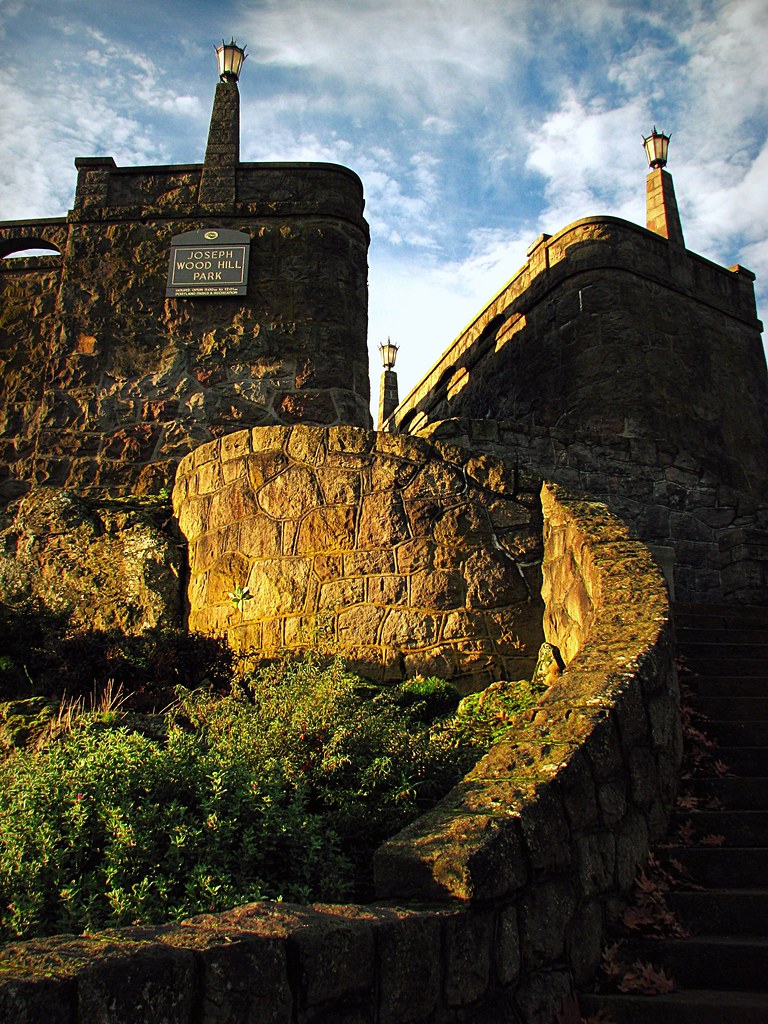
Crown Point

November Sunrise
Just being a tourist
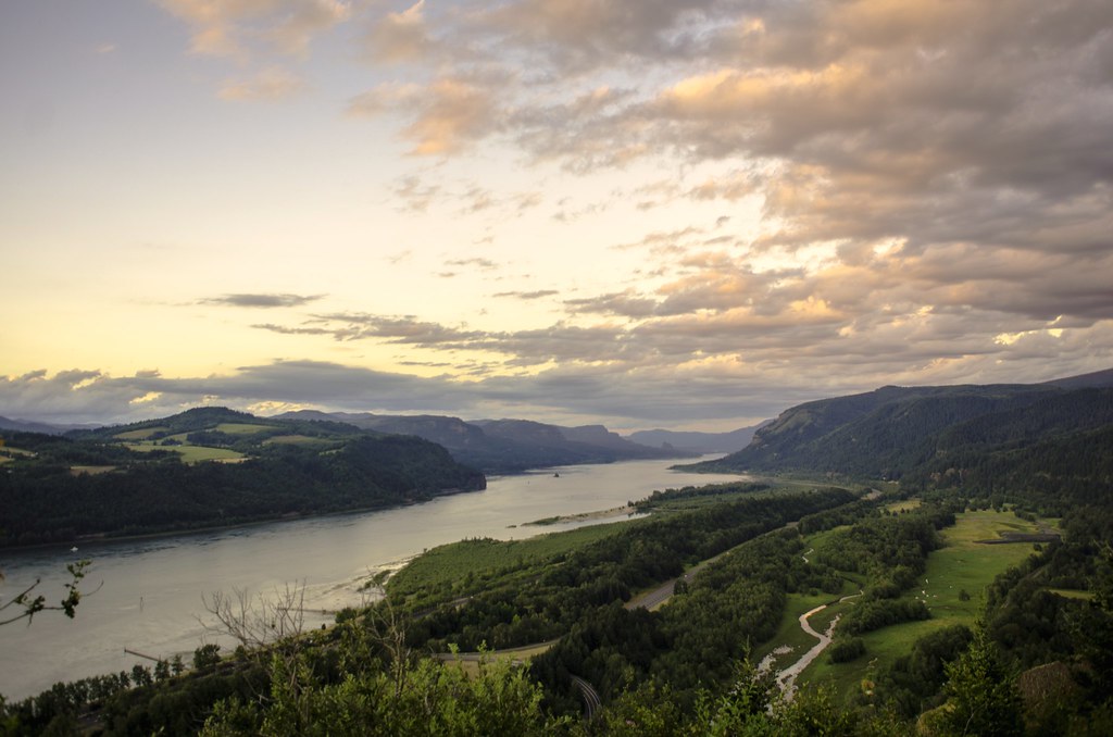
Columbia River Gorge...

the view from vista house
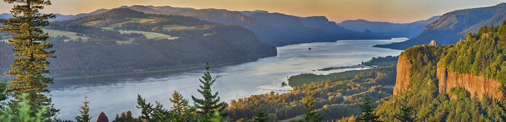
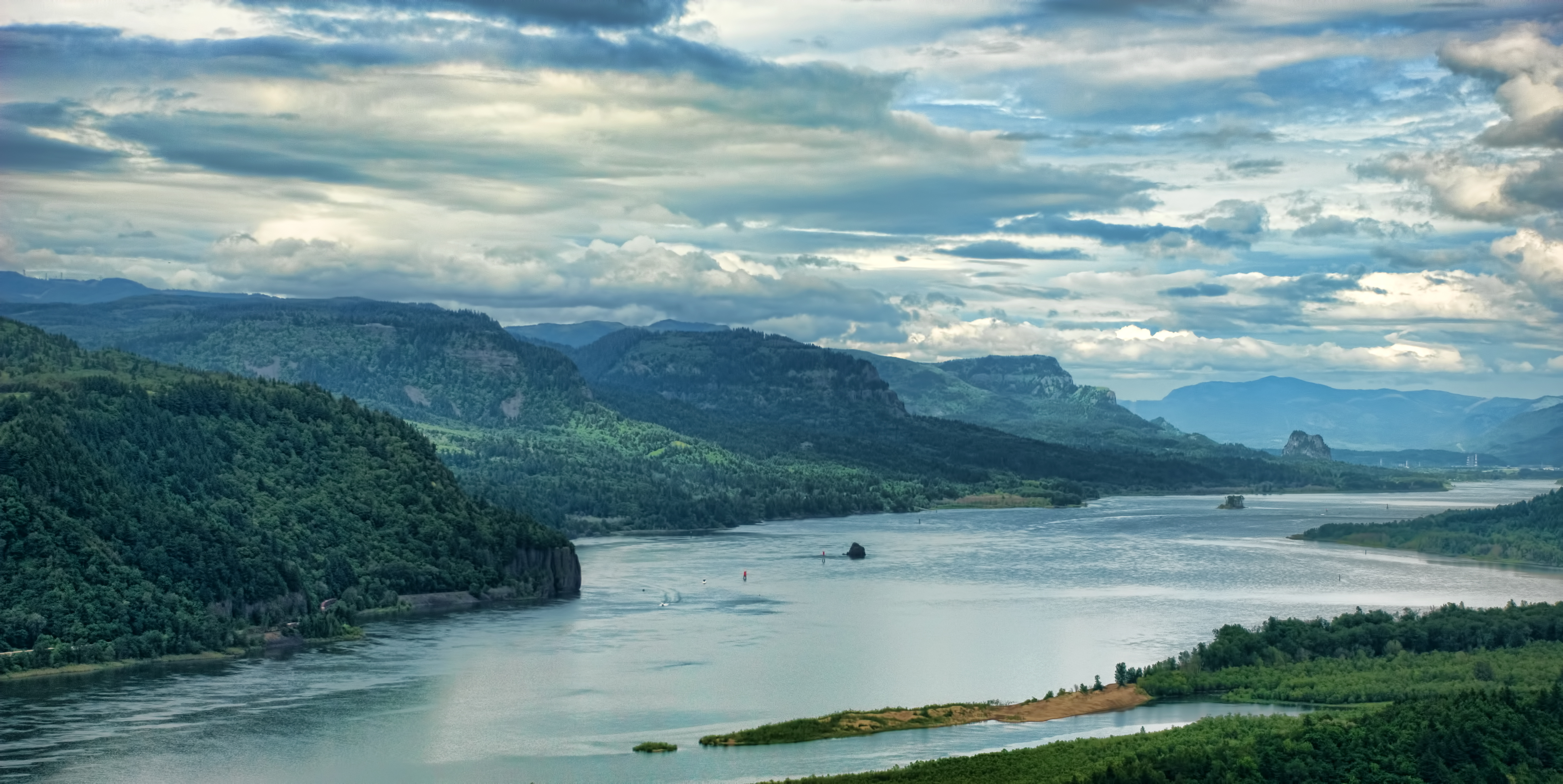
"Columbia River Panorama"

So lucky to have friends @jess_pdx and @hinespdx (sbka* @HinesBeLike) to go out randomly hunting for city views on a lark. * = should be known as
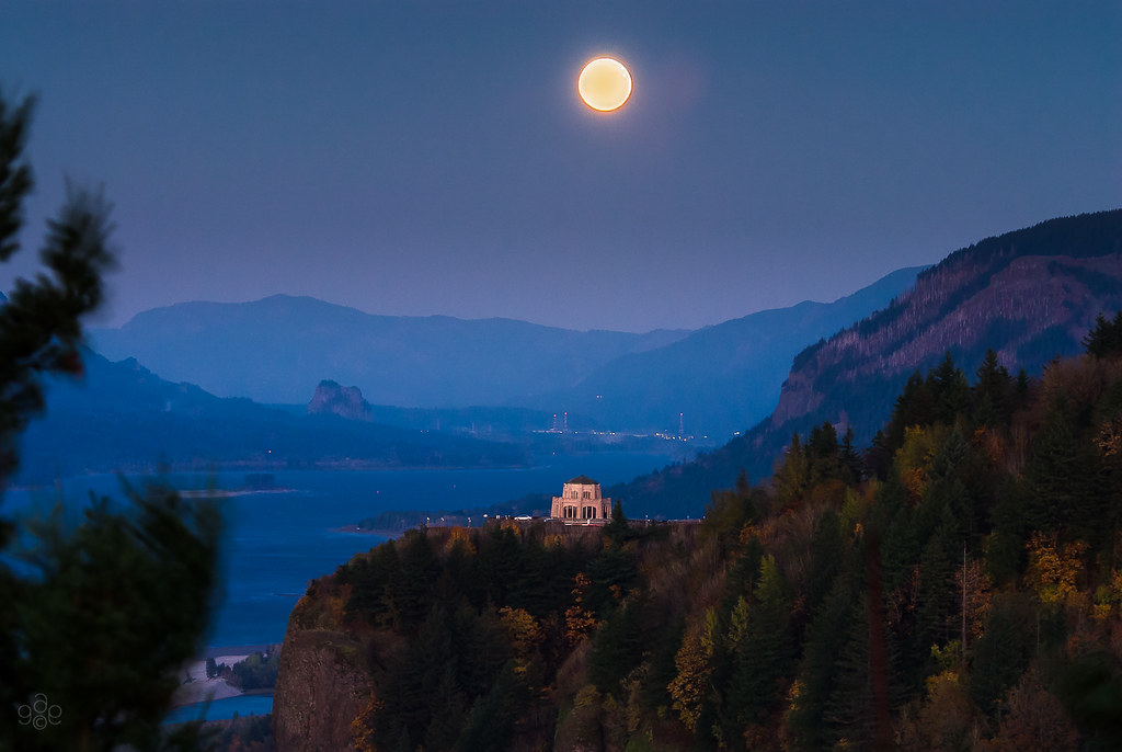
Full harvest moon atop Vista House
Wind Swept

they think like me, cool...

Rolling fog over Sandy River Valley. Can't wait to see more of these foggy landscapes . . . . . #jonrudsviewpoint #sandyoregon #foggymorning #foggysunrise #mthoodterritory #canon_official #canonphotography #madewithmefoto #purplepassport #explorecreatesha
Fog Rising

Row Row Row your boat...
Competing Interests
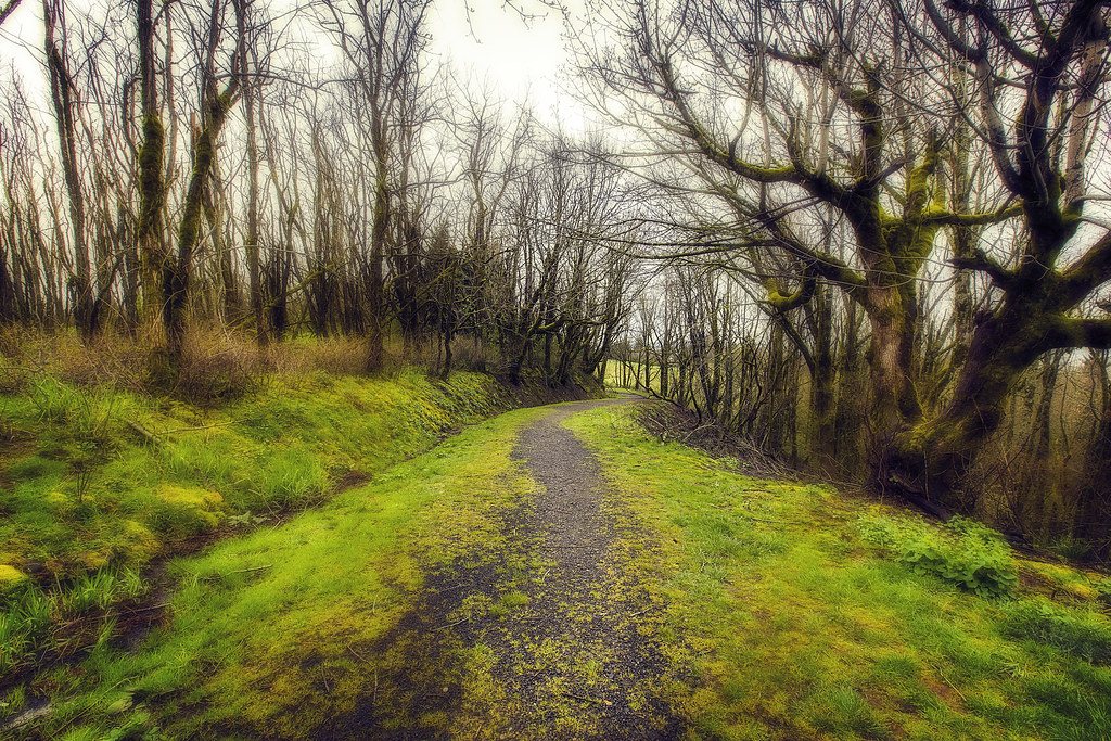
Broad is the Way that Leadeth to Destruction
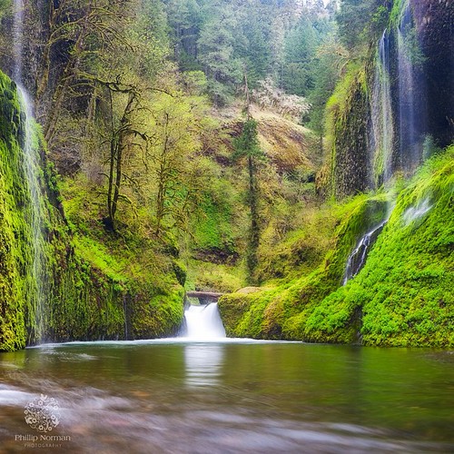
When I first saw an image of this place by Chip Phillips I said to myself I had to get there. When I finally found myself standing there after drawing on my years of map reading and navigation skills and getting through the narrow gorge with chest deep fr
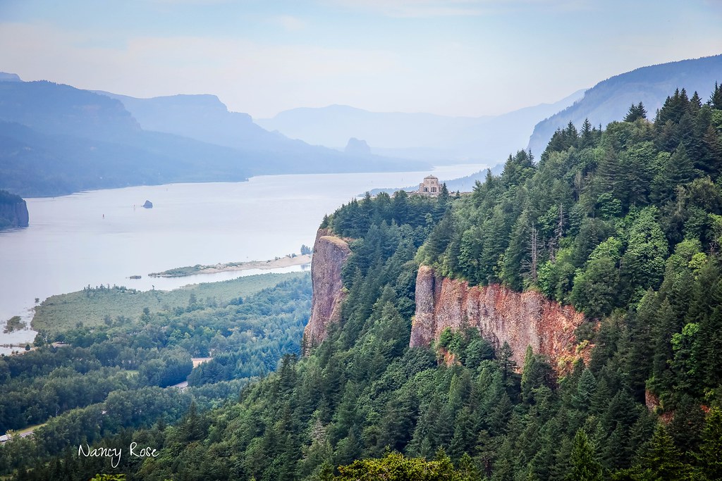
Beacon Rock and Vista House
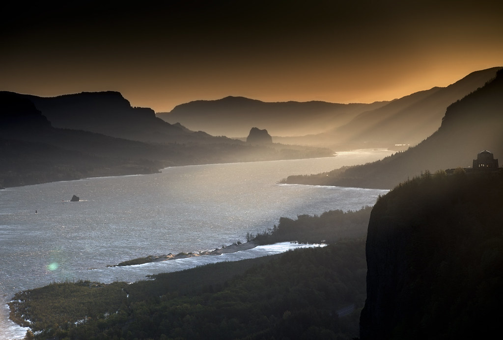
Sunrise On The Columbia River
Top Of The World

amanecerá
The Columbia River begins its journey in the Canadian Rockies and finds its way down into Washington and Oregon where it flows past the northern slopes of Mt Hood. There are many tributaries flowing off those slopes where high rainfall feeds a lush forest
columbia gorge, take 2
Columbia River Gorge

Give me comatose joy like rerun T.V.
Vista's Morning Break
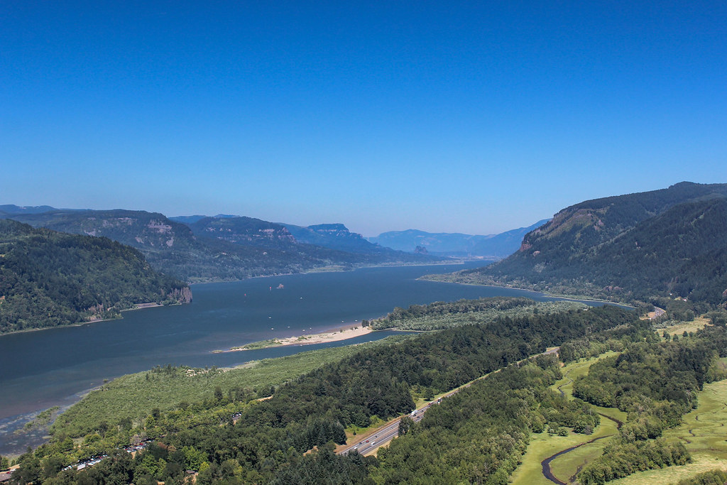
Columbia River Gorge
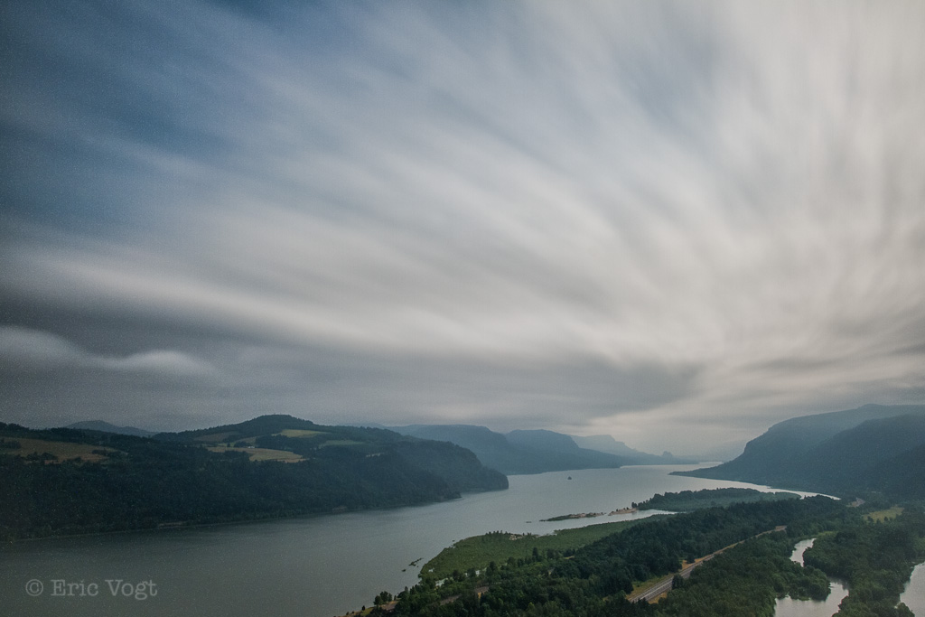
Storm over the Columbia River Gorge
Columbia Gorge Sunset
Columbia River Gorge
il fiume va (sa dove andare)
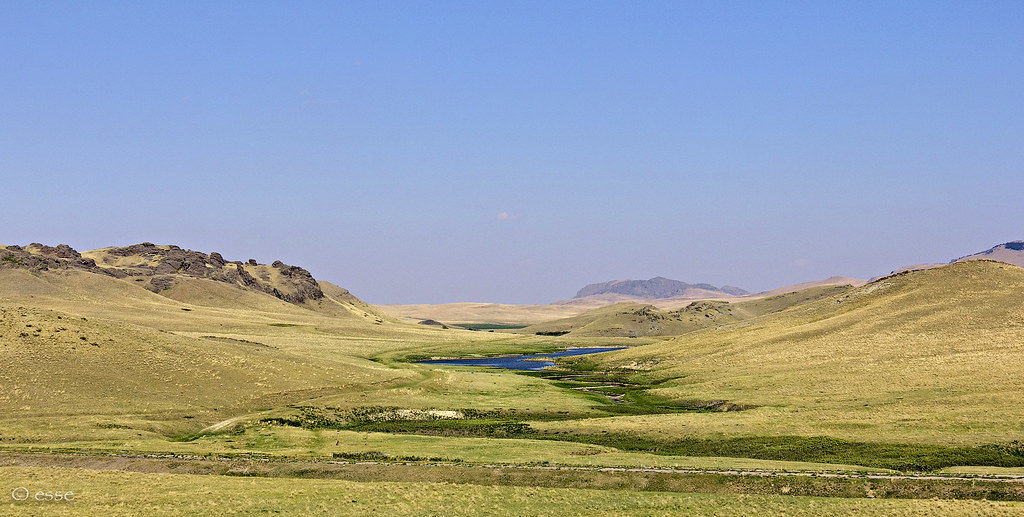
Summertime at Powell Butte [Explored]
Topographic Map of SE Hogan Rd, Gresham, OR, USA
Find elevation by address:

Places near SE Hogan Rd, Gresham, OR, USA:
704 Se 38th Dr
Southeast Butler Road
9388 Se Kingswood Way
1191 Se 22nd Ct
Persimmon Country Club
3105 Se 26th St
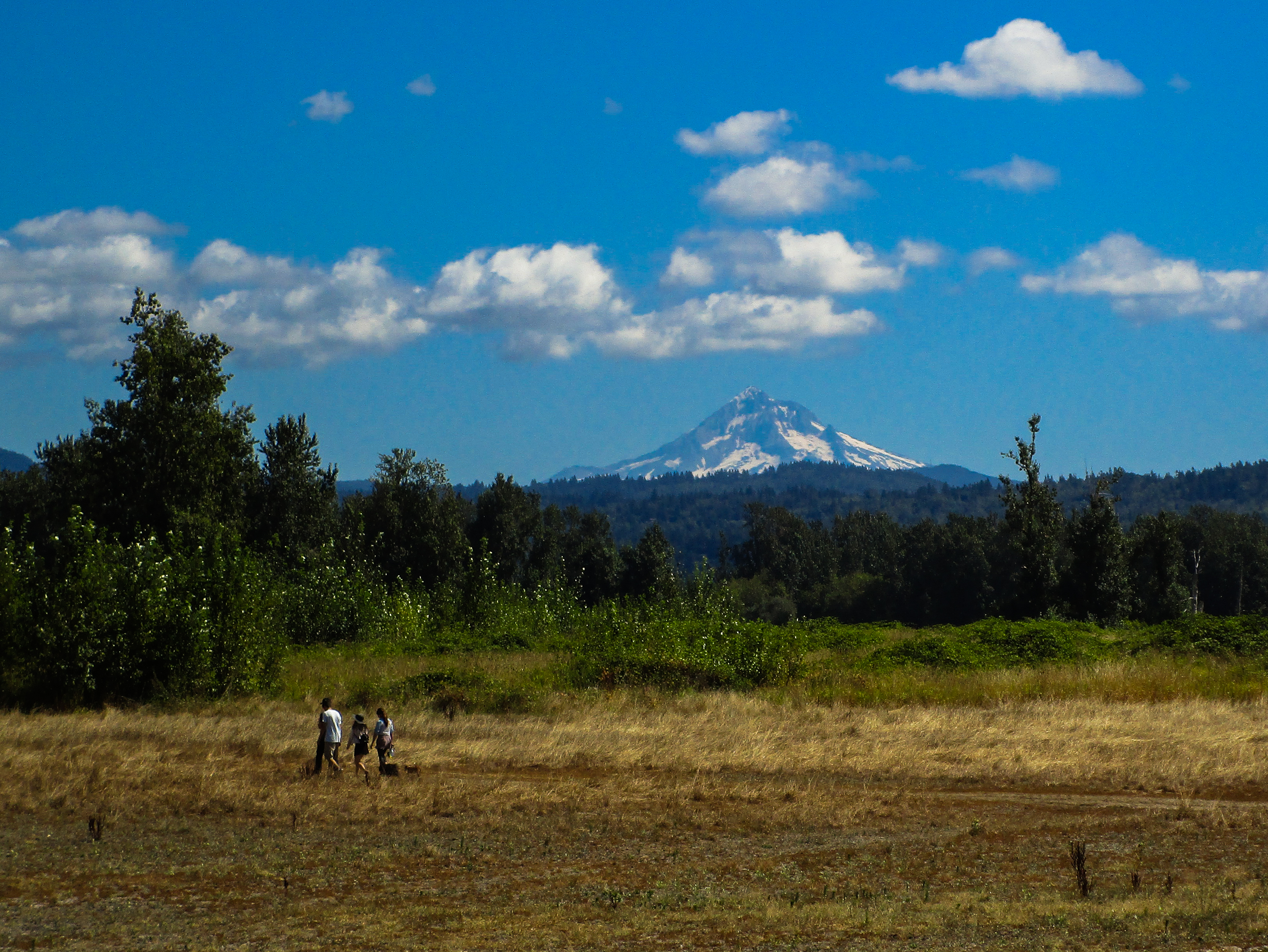
Mount Hood
382 Se Gabbert Rd
4183 Se Augusta Loop
553 Se 23rd Terrace
297 Se 46th Dr
2107 Se Kane Ave
1520 Se Evelyn Ct
2291 Se Hacienda Ave
3200 Se Palmquist Rd
2230 Se Meadow Ct
24500 Se Sunshine Valley Rd
U.s. 26 & Southeast Palmquist Road
U.s. 26 & Southeast Palmquist Road
3211 Se Laura Ave
Recent Searches:
- Elevation of Royal Ontario Museum, Queens Park, Toronto, ON M5S 2C6, Canada
- Elevation of Groblershoop, South Africa
- Elevation of Power Generation Enterprises | Industrial Diesel Generators, Oak Ave, Canyon Country, CA, USA
- Elevation of Chesaw Rd, Oroville, WA, USA
- Elevation of N, Mt Pleasant, UT, USA
- Elevation of 6 Rue Jules Ferry, Beausoleil, France
- Elevation of Sattva Horizon, 4JC6+G9P, Vinayak Nagar, Kattigenahalli, Bengaluru, Karnataka, India
- Elevation of Great Brook Sports, Gold Star Hwy, Groton, CT, USA
- Elevation of 10 Mountain Laurels Dr, Nashua, NH, USA
- Elevation of 16 Gilboa Ln, Nashua, NH, USA