Elevation of Scud Peak, Kitimat-Stikine D, BC V0J, Canada
Location: Canada > British Columbia > Kitimat-stikine > Kitimat-stikine D >
Longitude: -131.16777
Latitude: 57.2411111
Elevation: 1972m / 6470feet
Barometric Pressure: 80KPa
Elevation Map:
Satellite Map:
Related Photos:
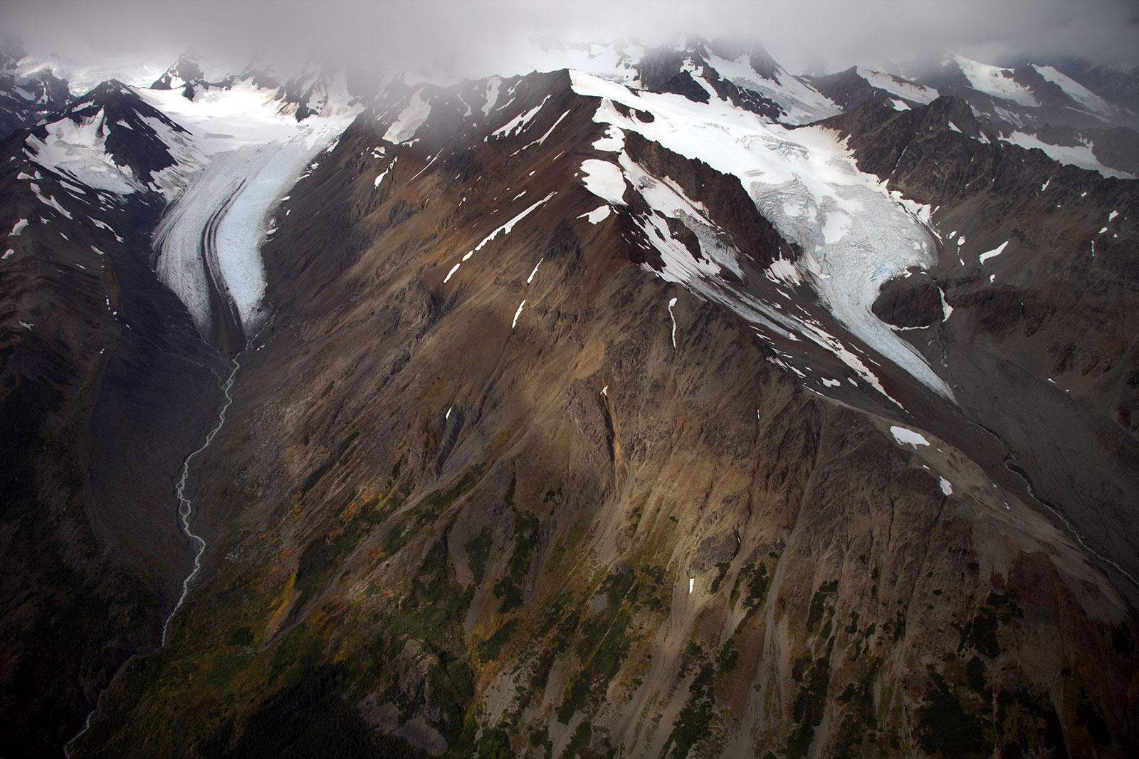
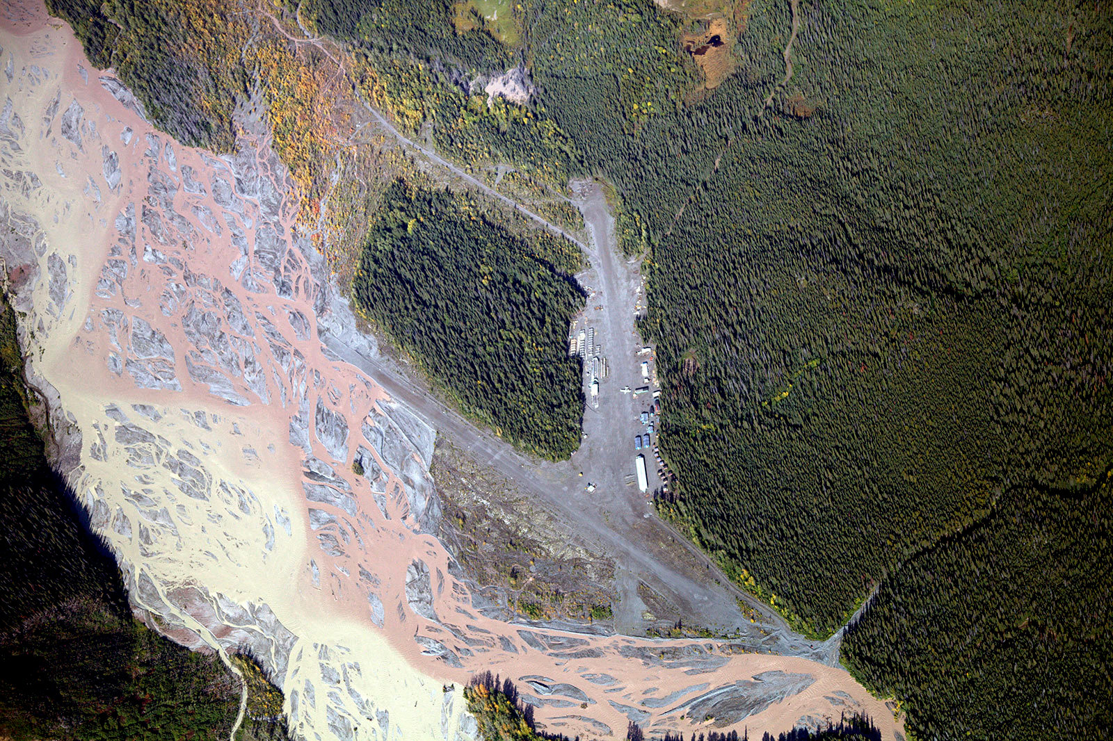
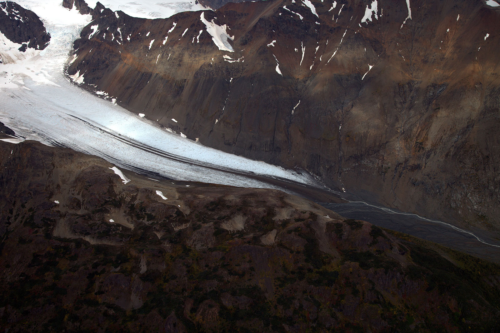
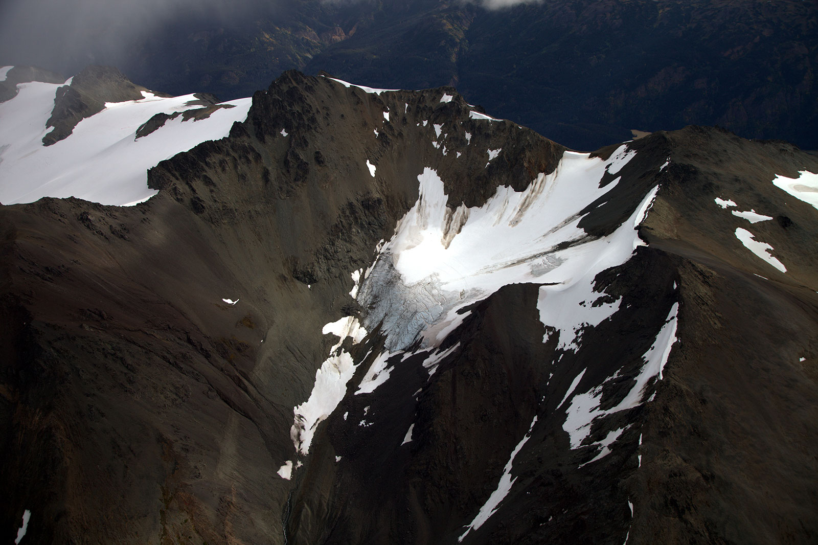
Schaft Creek Mine
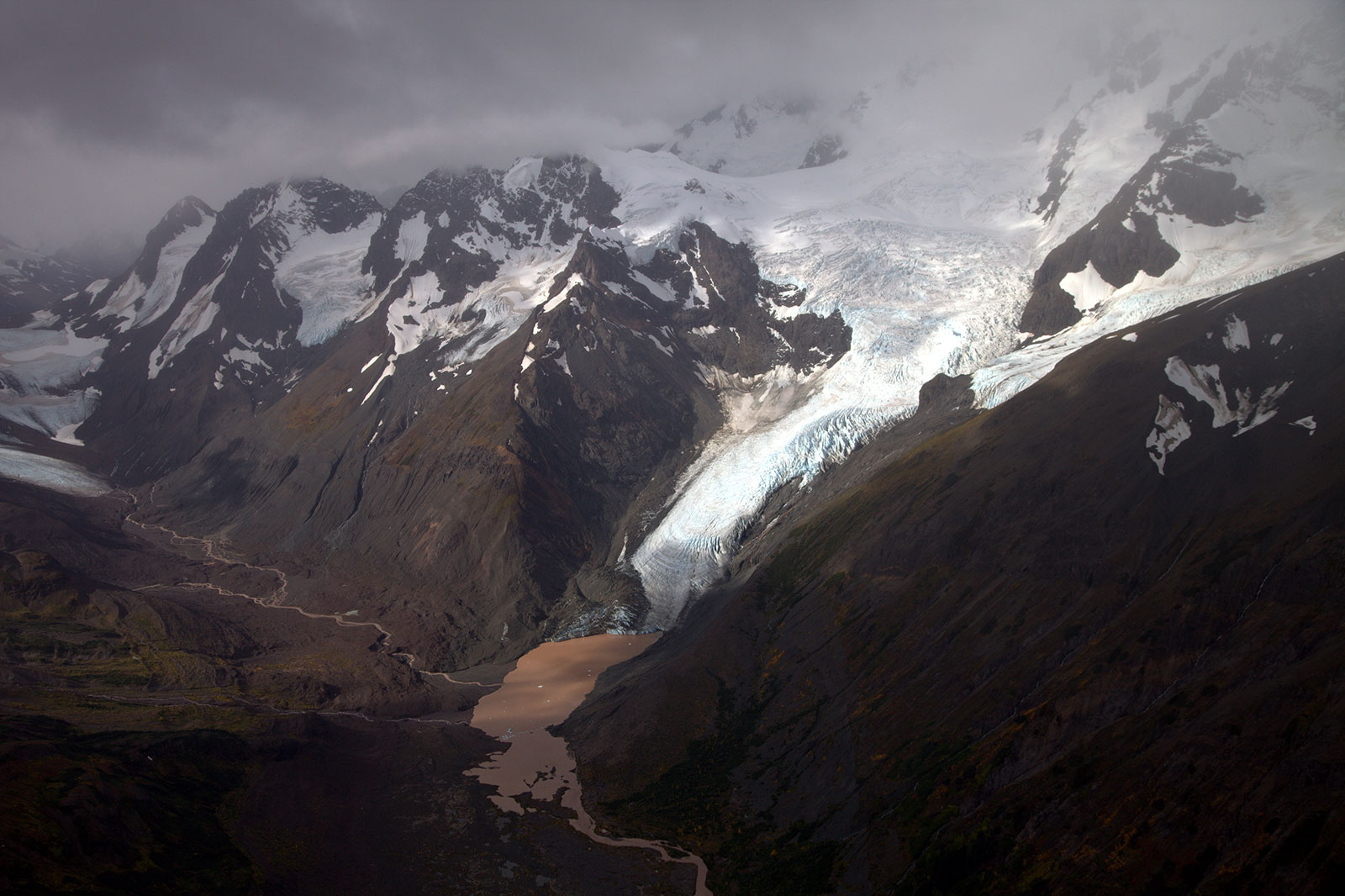
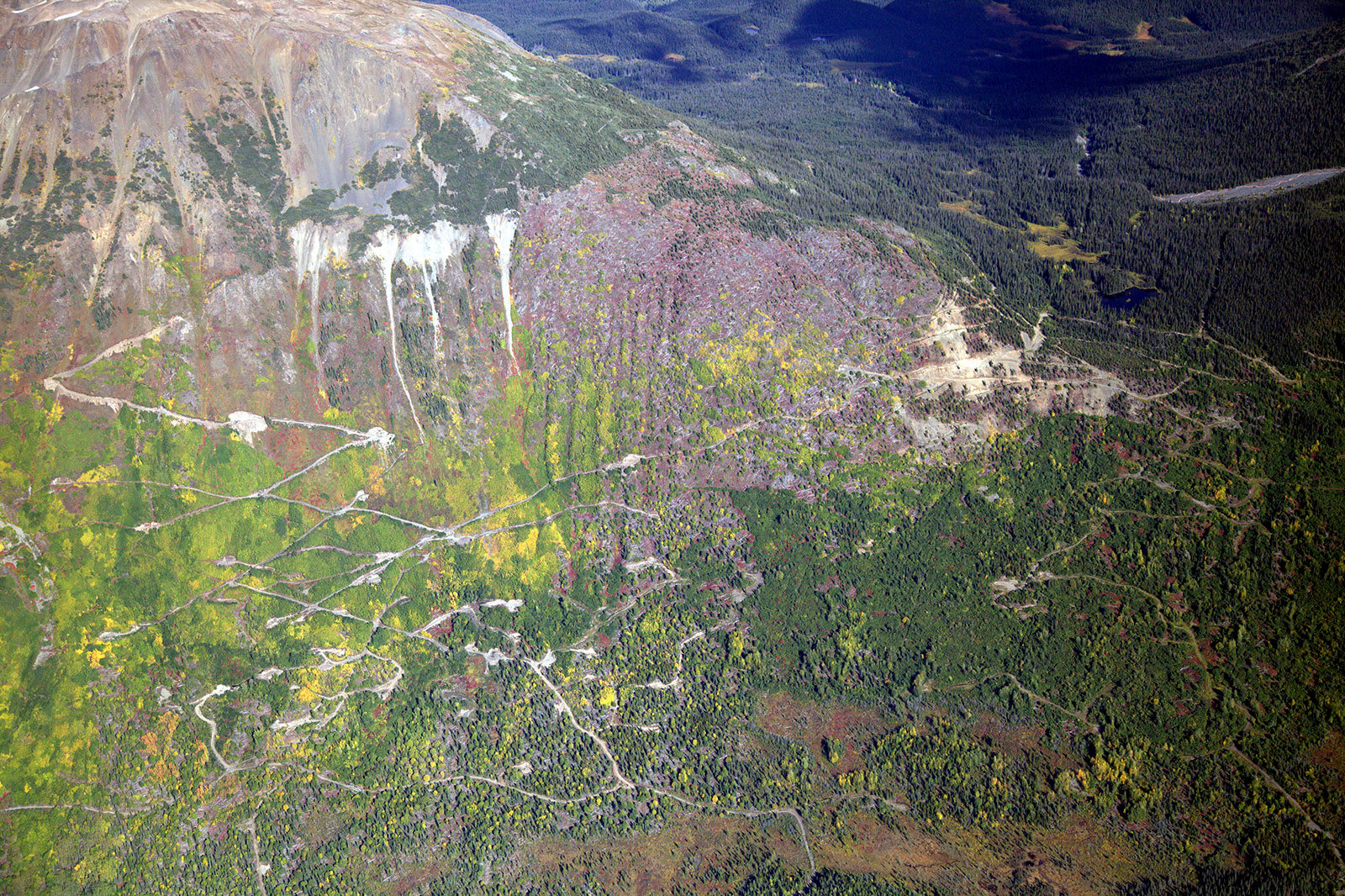
Schaft Creek Mine
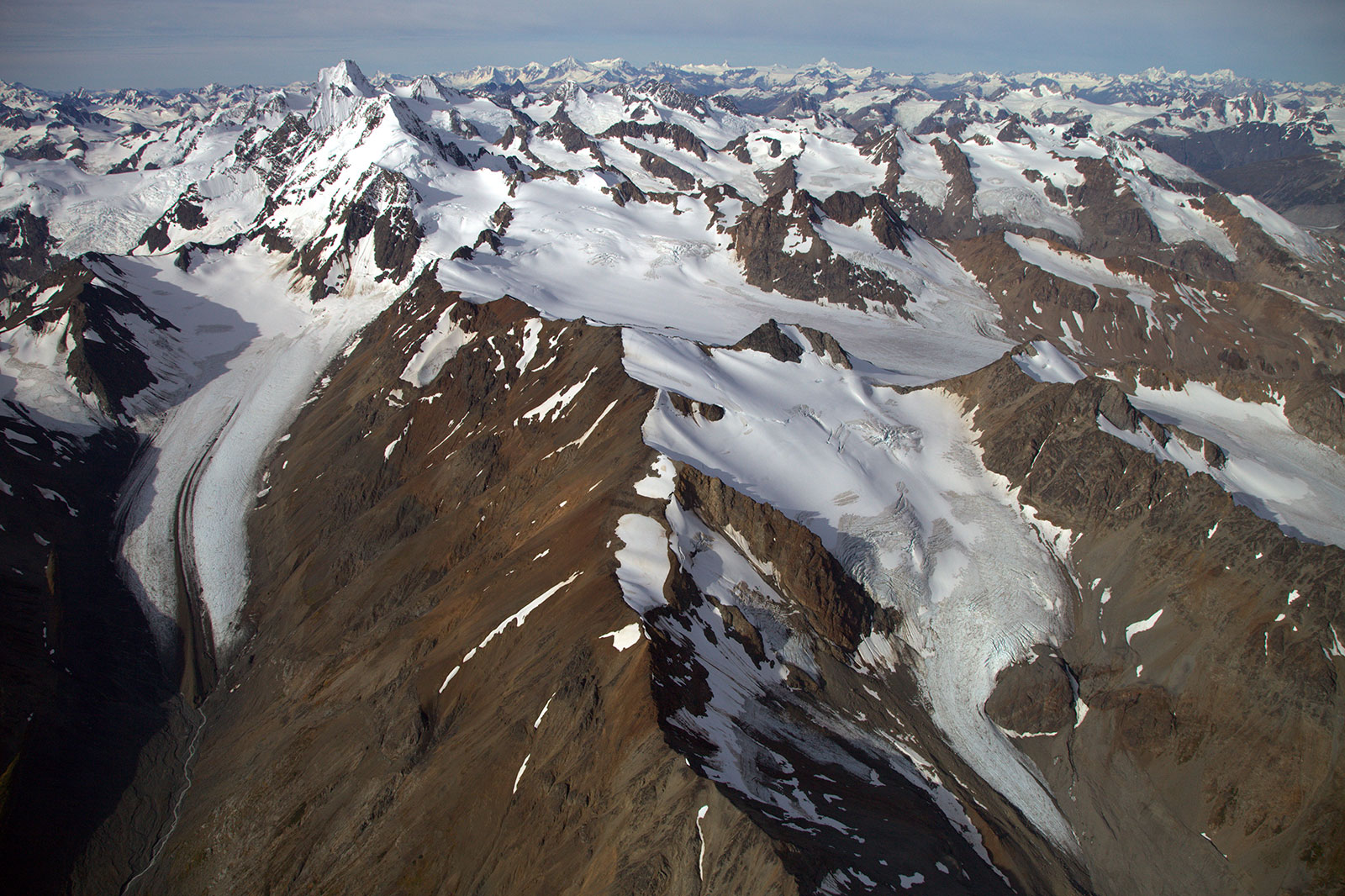
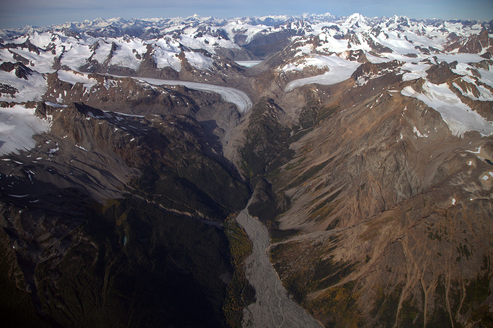
Schaft Creek Mine
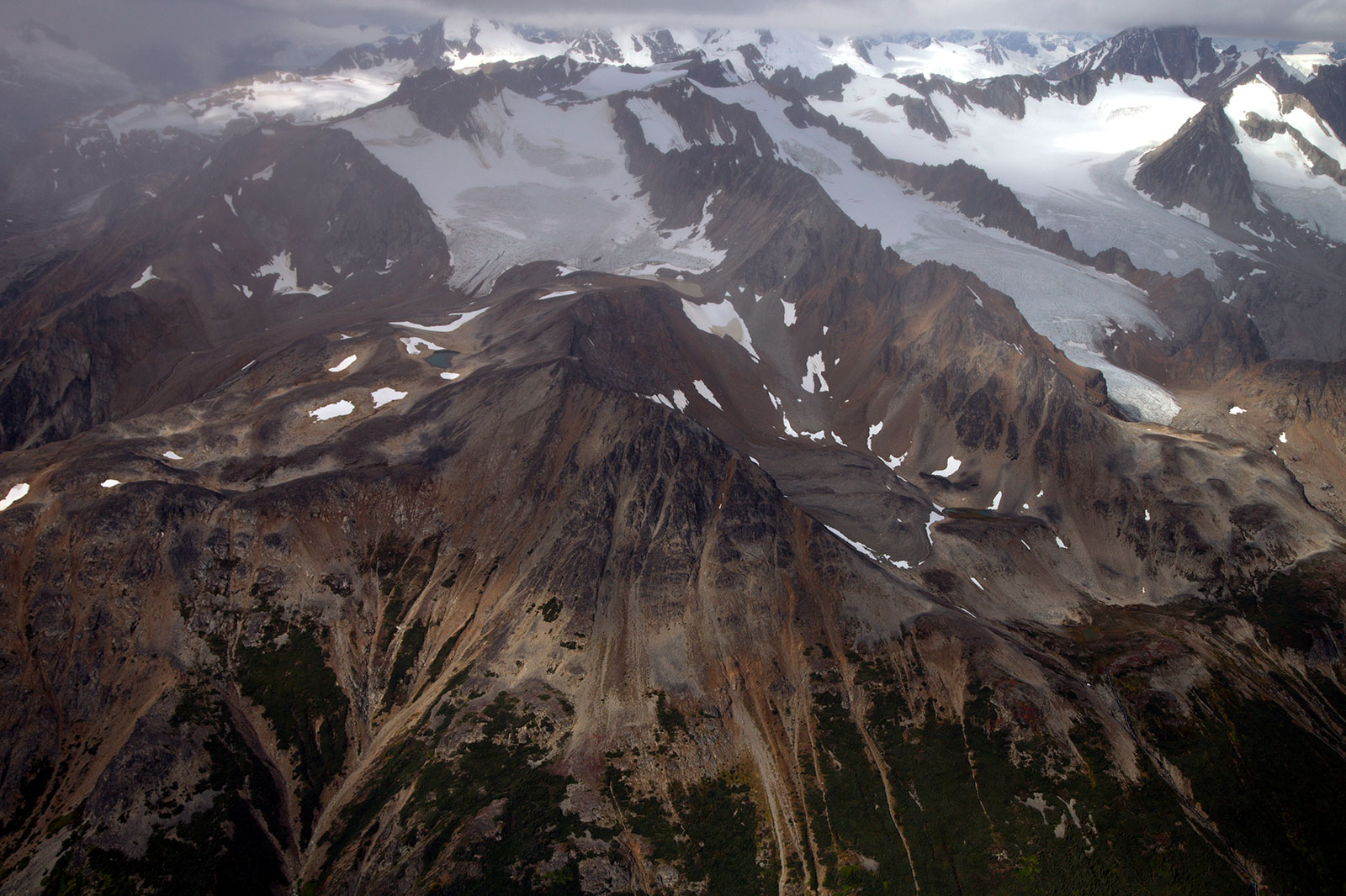
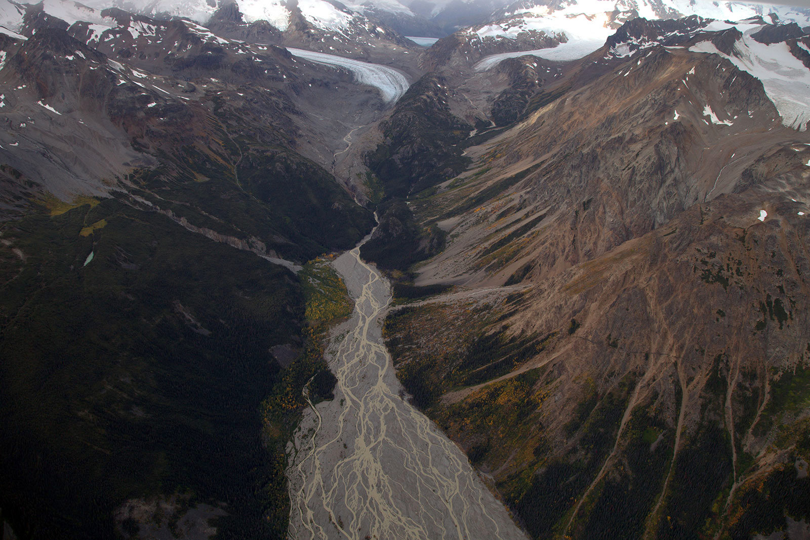
Schaft Creek Mine
Schaft Creek Mine
Schaft Creek Mine
Schaft Creek Mine
Schaft Creek Mine
Schaft Creek Mine
Schaft Creek Mine
Topographic Map of Scud Peak, Kitimat-Stikine D, BC V0J, Canada
Find elevation by address:

Places near Scud Peak, Kitimat-Stikine D, BC V0J, Canada:
Kitimat-stikine D
Ambition Mountain
Hoodoo Mountain
Big Mountain
Corvus Peak
Hubris Peak
Valhalla Mountain
Kates Needle
Recent Searches:
- Elevation of Corso Fratelli Cairoli, 35, Macerata MC, Italy
- Elevation of Tallevast Rd, Sarasota, FL, USA
- Elevation of 4th St E, Sonoma, CA, USA
- Elevation of Black Hollow Rd, Pennsdale, PA, USA
- Elevation of Oakland Ave, Williamsport, PA, USA
- Elevation of Pedrógão Grande, Portugal
- Elevation of Klee Dr, Martinsburg, WV, USA
- Elevation of Via Roma, Pieranica CR, Italy
- Elevation of Tavkvetili Mountain, Georgia
- Elevation of Hartfords Bluff Cir, Mt Pleasant, SC, USA