Elevation of Scobee Rd, Olney, TX, USA
Location: United States > Texas > Young County > Olney >
Longitude: -98.615029
Latitude: 33.3003823
Elevation: 368m / 1207feet
Barometric Pressure: 97KPa
Elevation Map:
Satellite Map:
Related Photos:
Four Corners Emergency

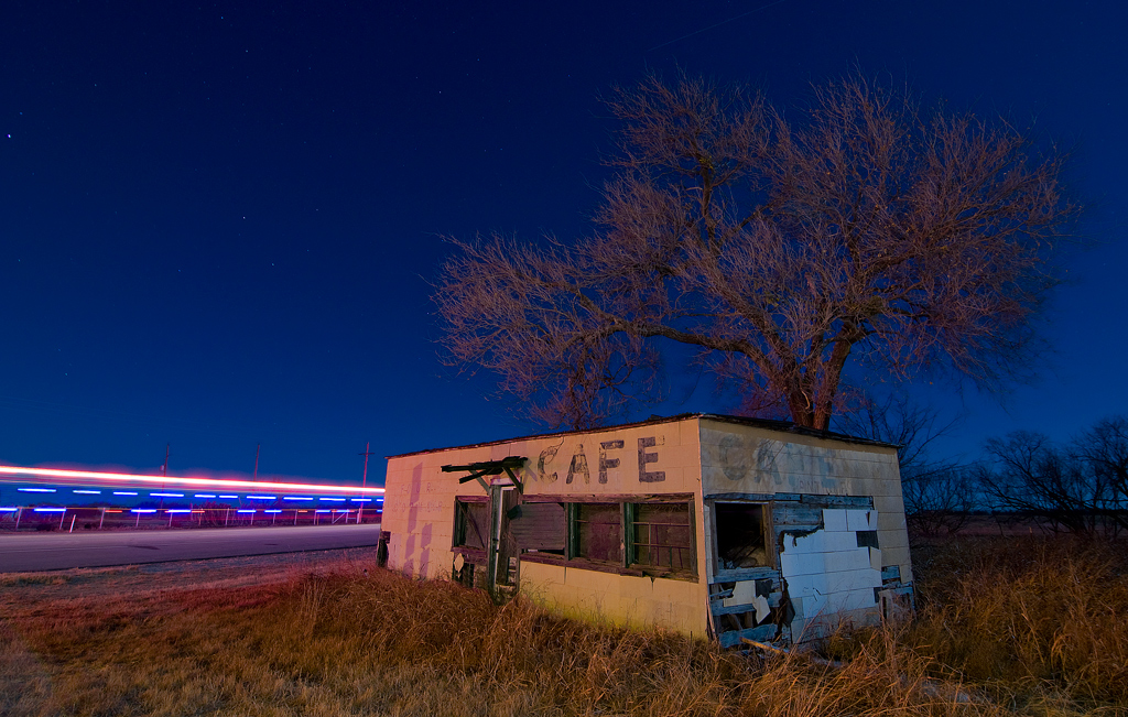
Olney The Lonely

look how tiny those cows are

wind turbines
Loving, Texas

Texas Flyover

Door to nowhere, Newcastle, Texas

Prickly Pear Cactus, Newcastle, Texas

Abandoned Brazos River Bridge

Abandoned Brazos River Bridge

Olney, Texas

#texas #loving

Farmer Cemetery

Lonely Spot

Grasshopper on Prickly Pear, Newcastle, Texas

Fossil, Newcastle, Texas

2014-04-02_0514

Woodall Service

Warren Wagon Train Massacre, Graham, Texas Historical Marker
Topographic Map of Scobee Rd, Olney, TX, USA
Find elevation by address:

Places near Scobee Rd, Olney, TX, USA:
Steadham St, Loving, TX, USA
Loving
Olney
Young County
907 W Howard St
Graham
908 Carolina St
Graham, TX, USA
Air Tractor Inc
Mountain Top Estates Road
FM, Graham, TX, USA
Archer City Child Development Center
221 E Main St
Archer City
219 E Main St
Archer County
College Heights
Scotland
1859 Holbrook
Hells Gate
Recent Searches:
- Elevation of W Granada St, Tampa, FL, USA
- Elevation of Pykes Down, Ivybridge PL21 0BY, UK
- Elevation of Jalan Senandin, Lutong, Miri, Sarawak, Malaysia
- Elevation of Bilohirs'k
- Elevation of 30 Oak Lawn Dr, Barkhamsted, CT, USA
- Elevation of Luther Road, Luther Rd, Auburn, CA, USA
- Elevation of Unnamed Road, Respublika Severnaya Osetiya — Alaniya, Russia
- Elevation of Verkhny Fiagdon, North Ossetia–Alania Republic, Russia
- Elevation of F. Viola Hiway, San Rafael, Bulacan, Philippines
- Elevation of Herbage Dr, Gulfport, MS, USA