Elevation of Schuette Ln, Henderson, KY, USA
Location: United States > Kentucky > Henderson County > Henderson >
Longitude: -87.577026
Latitude: 37.7820125
Elevation: 119m / 390feet
Barometric Pressure: 100KPa
Elevation Map:
Satellite Map:
Related Photos:

**
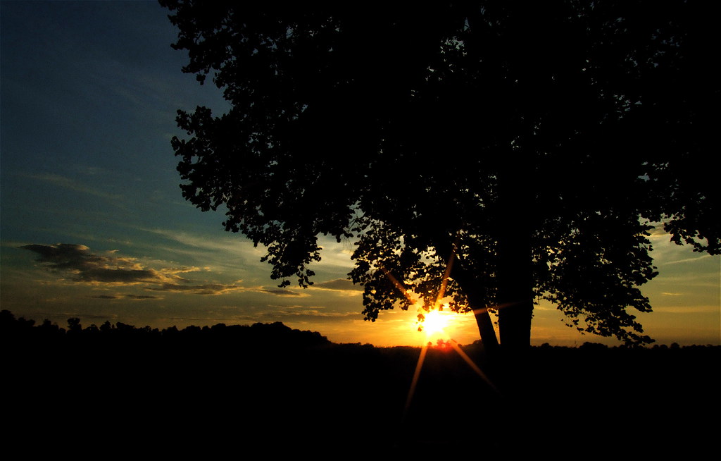
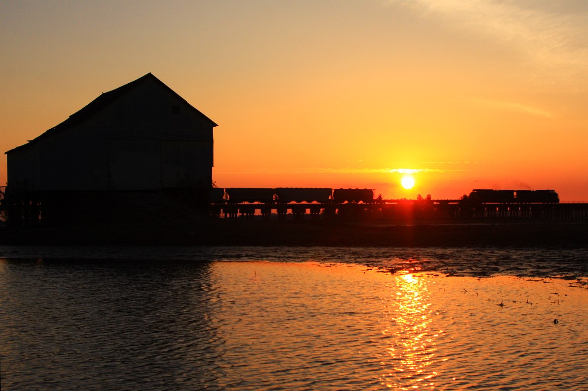
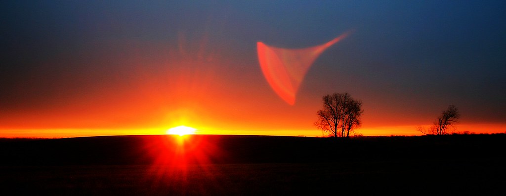
Setting Sun, Falling Silhouette
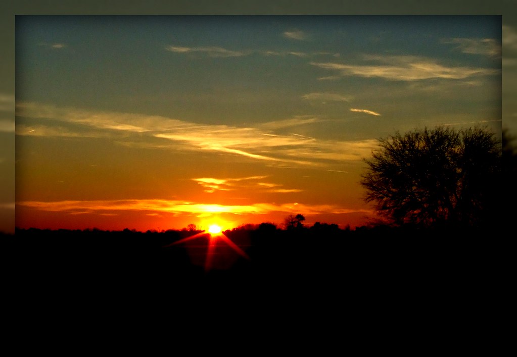
Sunset in Henderson County II
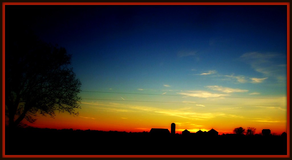
Sunset on a Small Farm
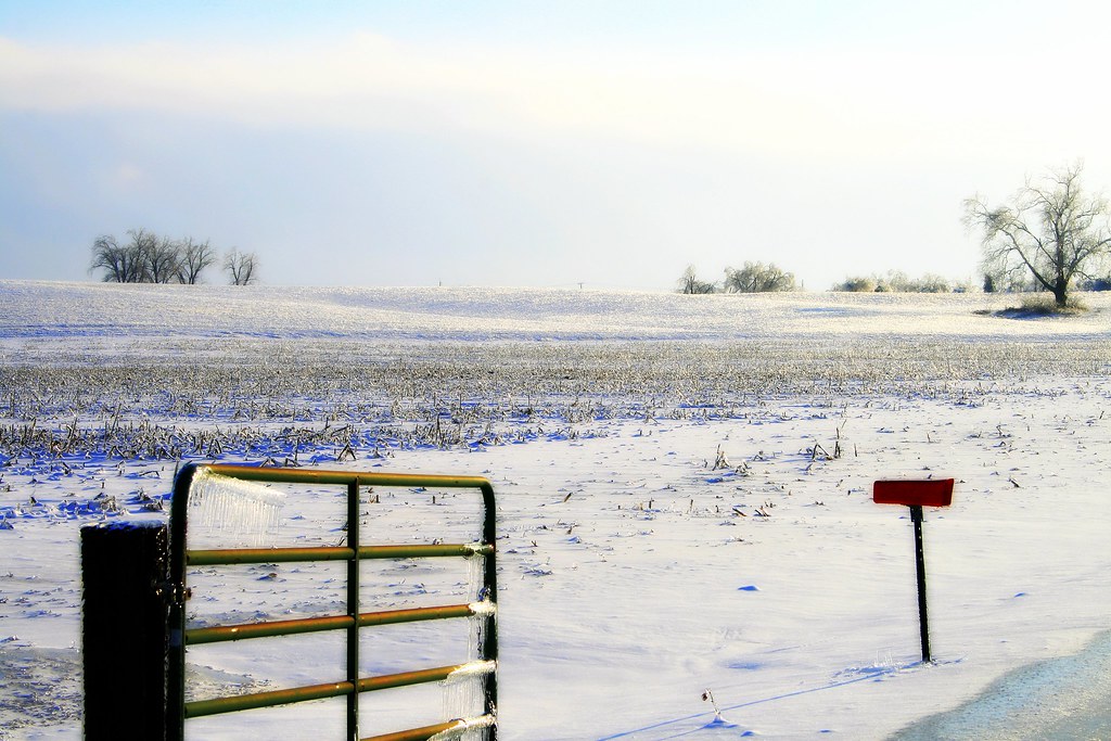
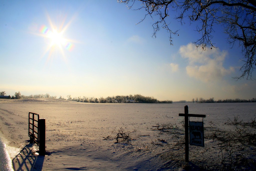
Down on the Farm (frozen)

The End of the Rainbow

Wild Grapes (Colour) [?]

Here Comes the Rain....
Impressions of a Forgotten Silo

Rusty Wire, Blue Sky, And Weeds............
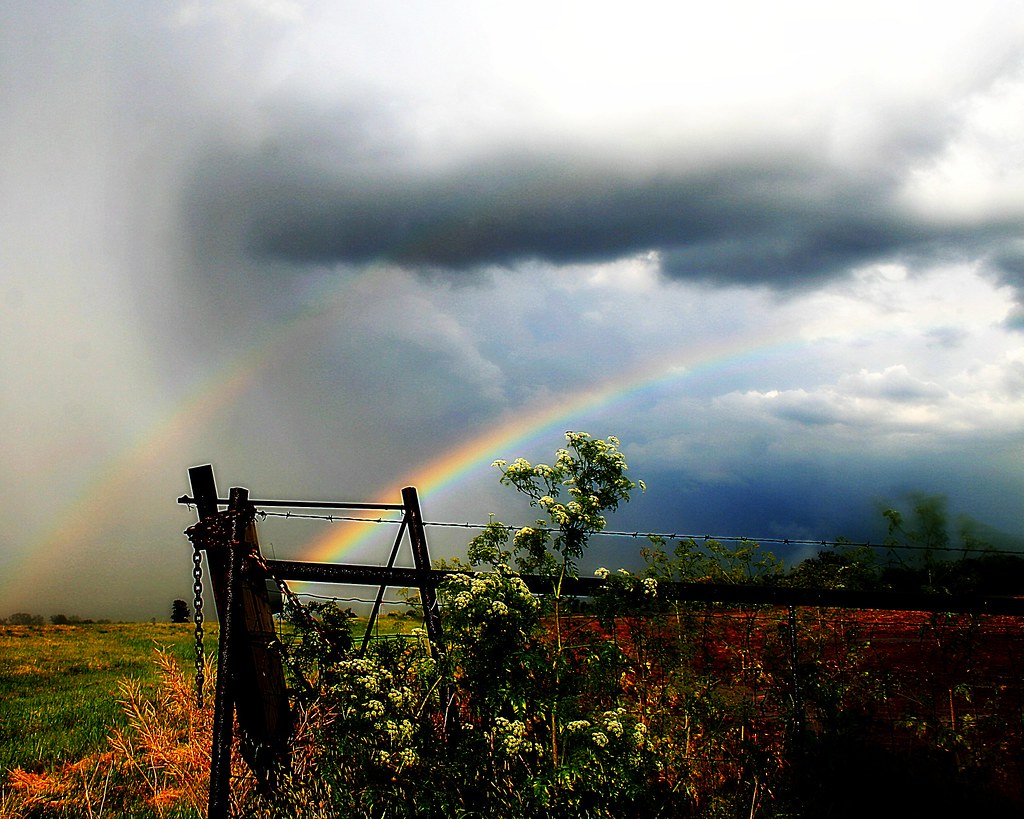
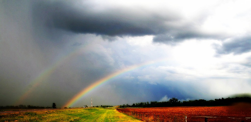
Looking Up at a Double Rainbow

Watching the Refuge
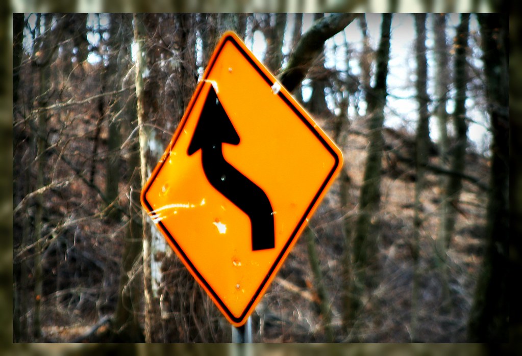
Sign on a Country Road
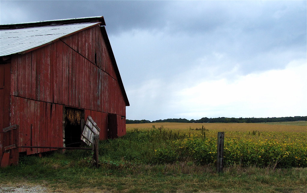
Impressions of a Farm

Looking Out Over the River

**

Ready to Bloom
Aves Ⓣ Spek
Clouds Over The Bean Field
The Second Rainbow

....
Rahm Silhouette
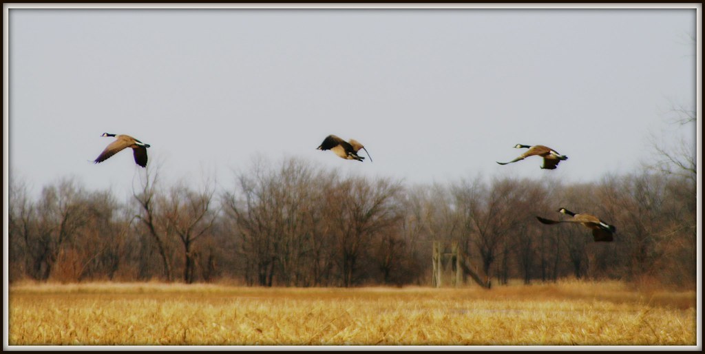
Geese in Flight II

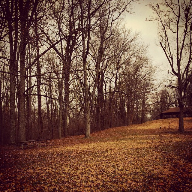
Lonely Trees at Dusk
Henderson Timelapse - Two trains in 45 seconds
Nice ACe
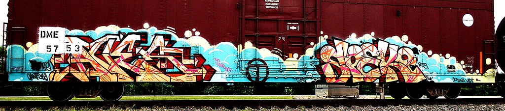
Rahm Worm
Sunset Over Smith Mills

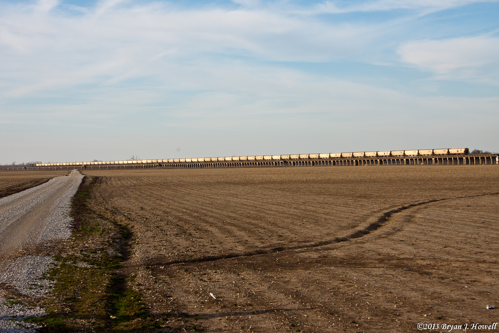
River Bottoms Landscape
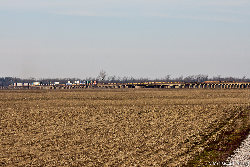
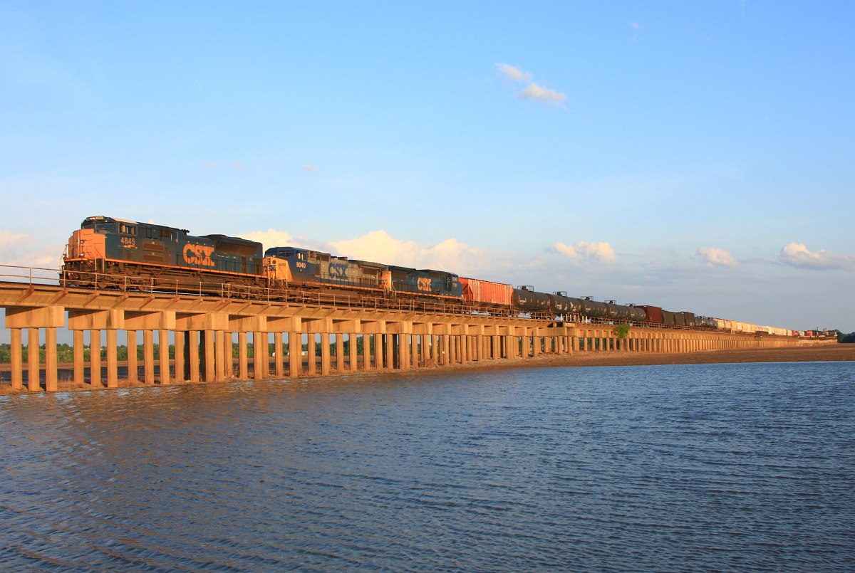
All of Q118
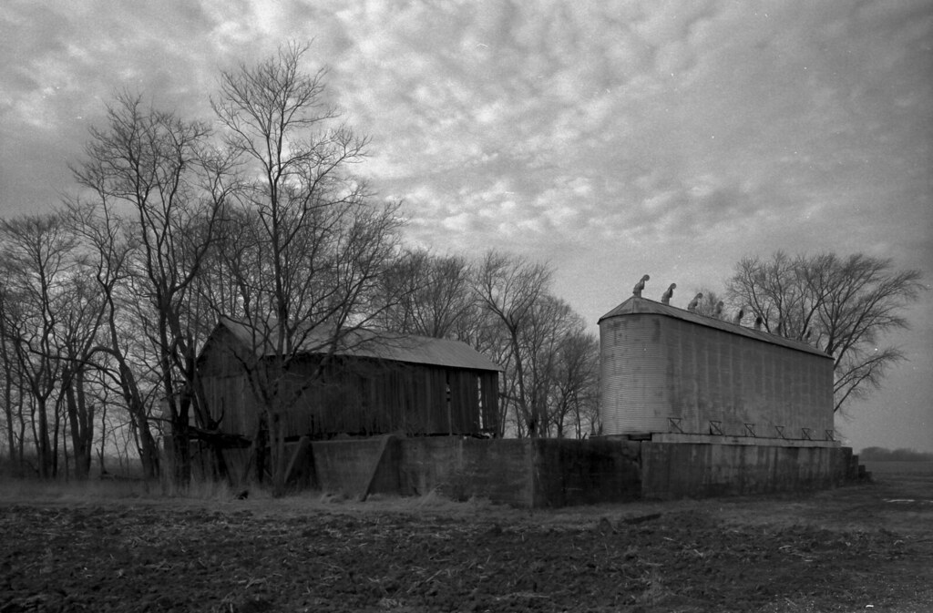
Old Barn and Grain Bins
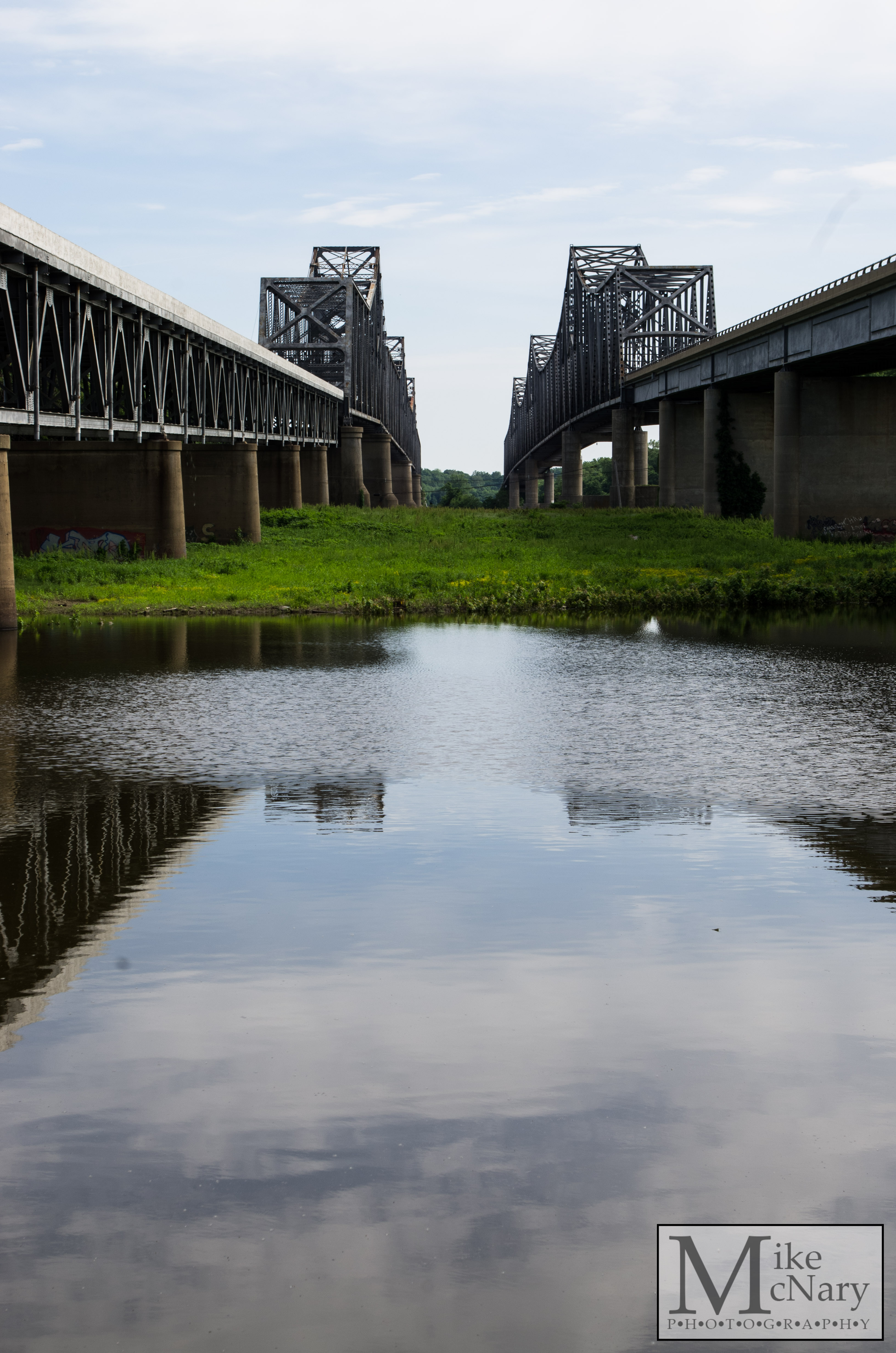
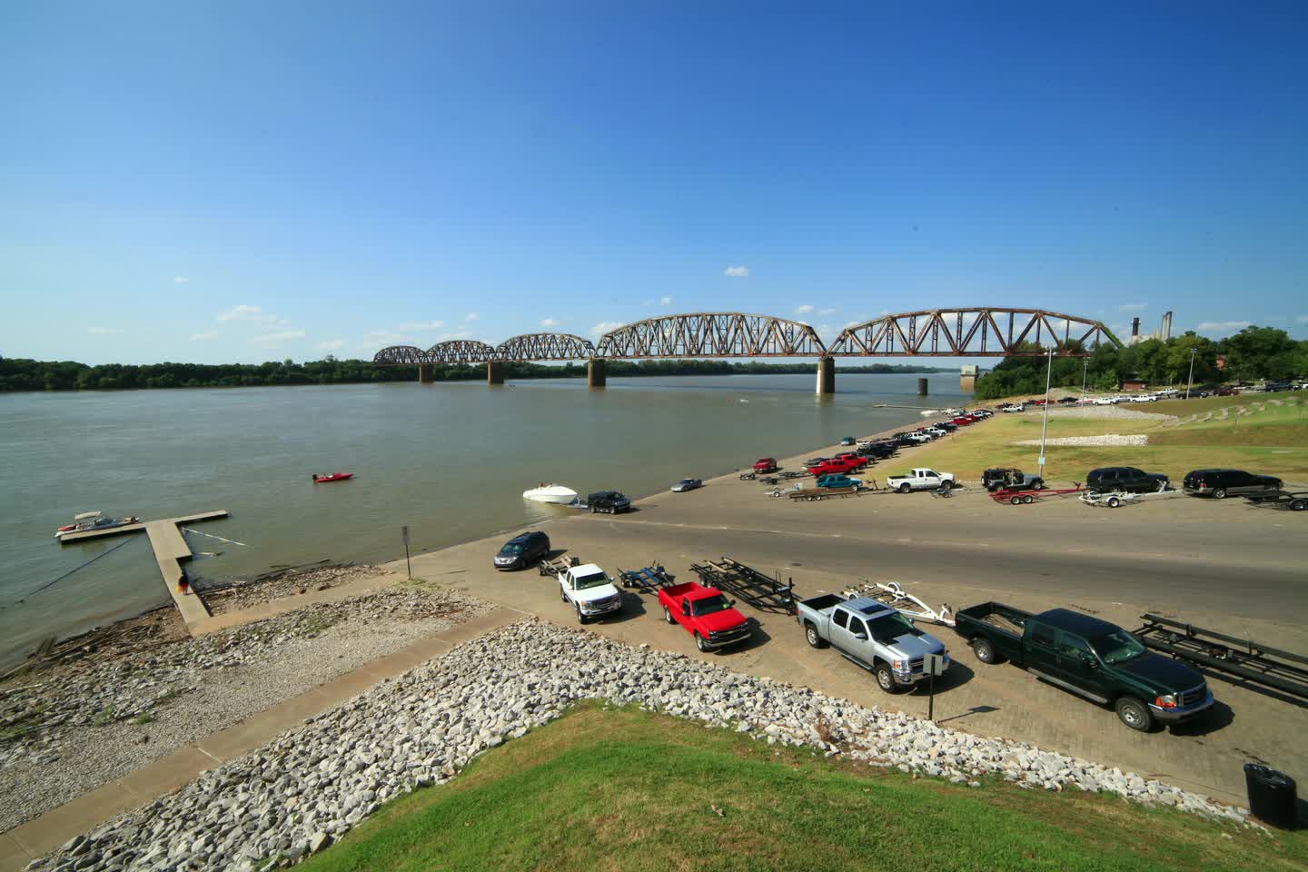
Twin Bridges
14:12&1100 #parque #otoño
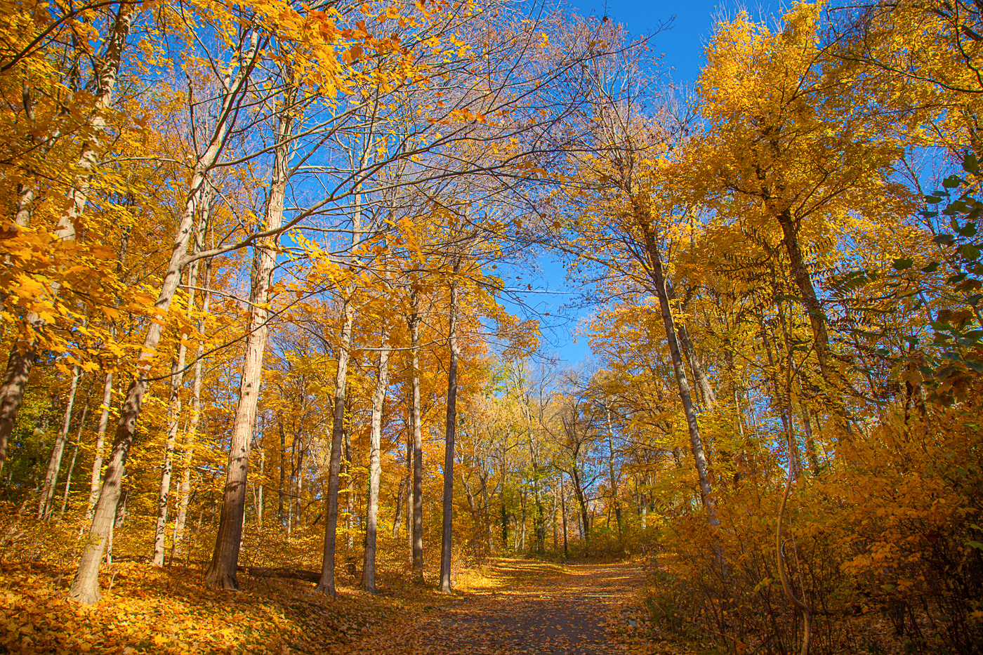
Fall Color Audobon Park
Light & Shadow Down on the Farm
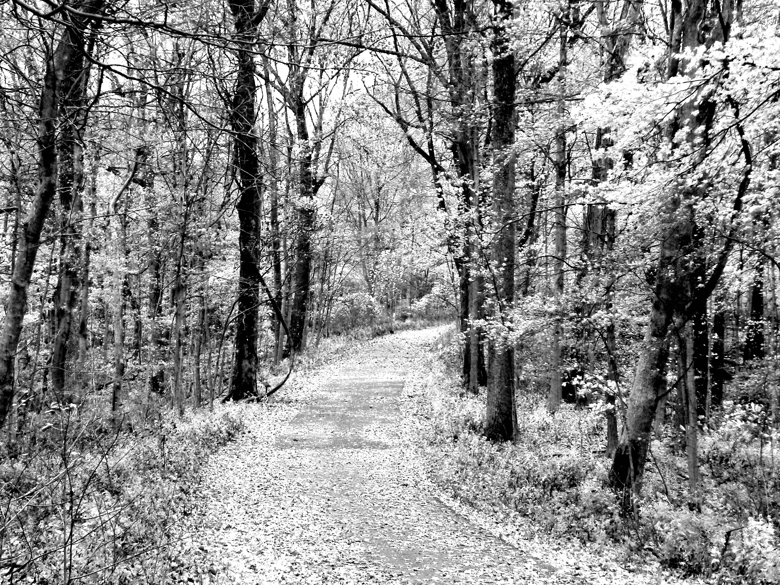
Road In Colorless Fall
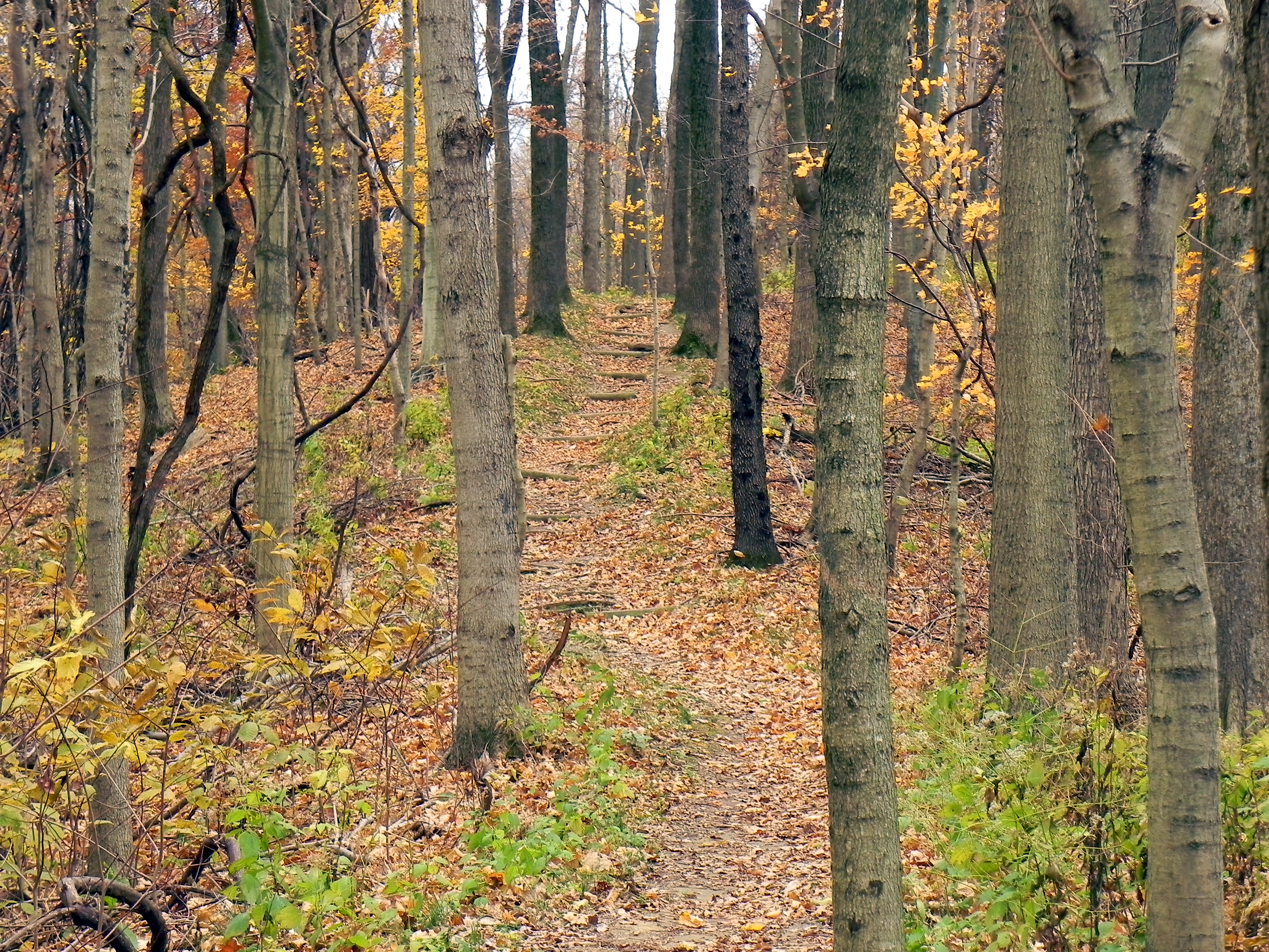
Kentucky Coffee Tree Trail

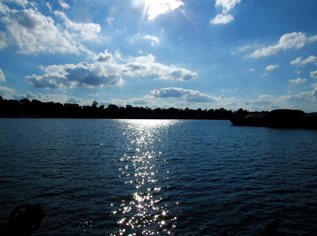
Dusk on the Ohio River at Henderson, KY
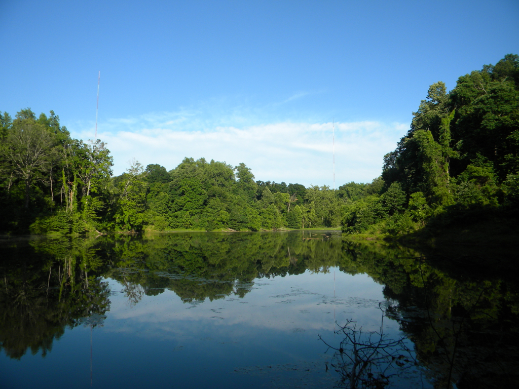
Kentucky: John James Audobon State Park: Wilderness Lake
Fire In The Sky
Topographic Map of Schuette Ln, Henderson, KY, USA
Find elevation by address:

Places near Schuette Ln, Henderson, KY, USA:
Porter Dr, Henderson, KY, USA
Henderson County
Old Robards Rd, Henderson, KY, USA
1725 S Green St
Henderson
3055 Ohio Dr
100 8th St
Wilson Station Rd, Henderson, KY, USA
Old Henderson Rd, Evansville, IN, USA
US-41 ALT, Corydon, KY, USA
Zion Rd, Henderson, KY, USA
3088 Ky-266
727 Morningside Dr
777 Woodspoint Dr
755 Woodspoint Dr
KY-, Robards, KY, USA
Robards
State Hwy, Robards, KY, USA
Union Township
13002 Crestwood Ct
Recent Searches:
- Elevation of Redondo Ave, Long Beach, CA, USA
- Elevation of Sadovaya Ulitsa, 20, Rezh, Sverdlovskaya oblast', Russia
- Elevation of Ulitsa Kalinina, 79, Rezh, Sverdlovskaya oblast', Russia
- Elevation of 72-31 Metropolitan Ave, Middle Village, NY, USA
- Elevation of 76 Metropolitan Ave, Brooklyn, NY, USA
- Elevation of Alisal Rd, Solvang, CA, USA
- Elevation of Vista Blvd, Sparks, NV, USA
- Elevation of 15th Ave SE, St. Petersburg, FL, USA
- Elevation of Beall Road, Beall Rd, Florida, USA
- Elevation of Leguwa, Nepal