Elevation of School St, Rumney, NH, USA
Location: United States > New Hampshire > Grafton County > Rumney >
Longitude: -71.809147
Latitude: 43.7961633
Elevation: 159m / 522feet
Barometric Pressure: 99KPa
Elevation Map:
Satellite Map:
Related Photos:
Historic Semaphore
Cadigan in the Snow and Fog

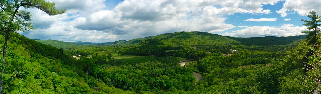
The Baker River Valley

22 | 365
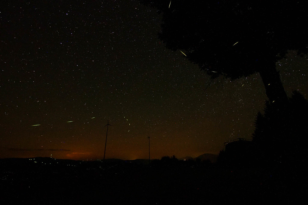
Camping Within Nature's Best Light Shows [Explored]

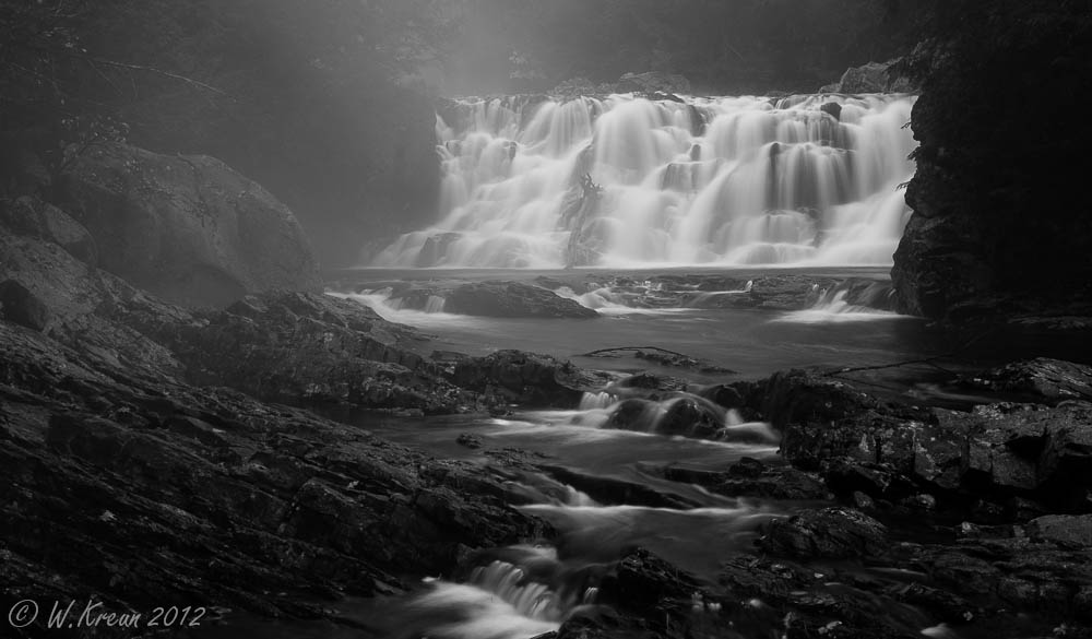
Emerge from the Void B&W

Rock is this Colour?
Amazing view!

rock stars
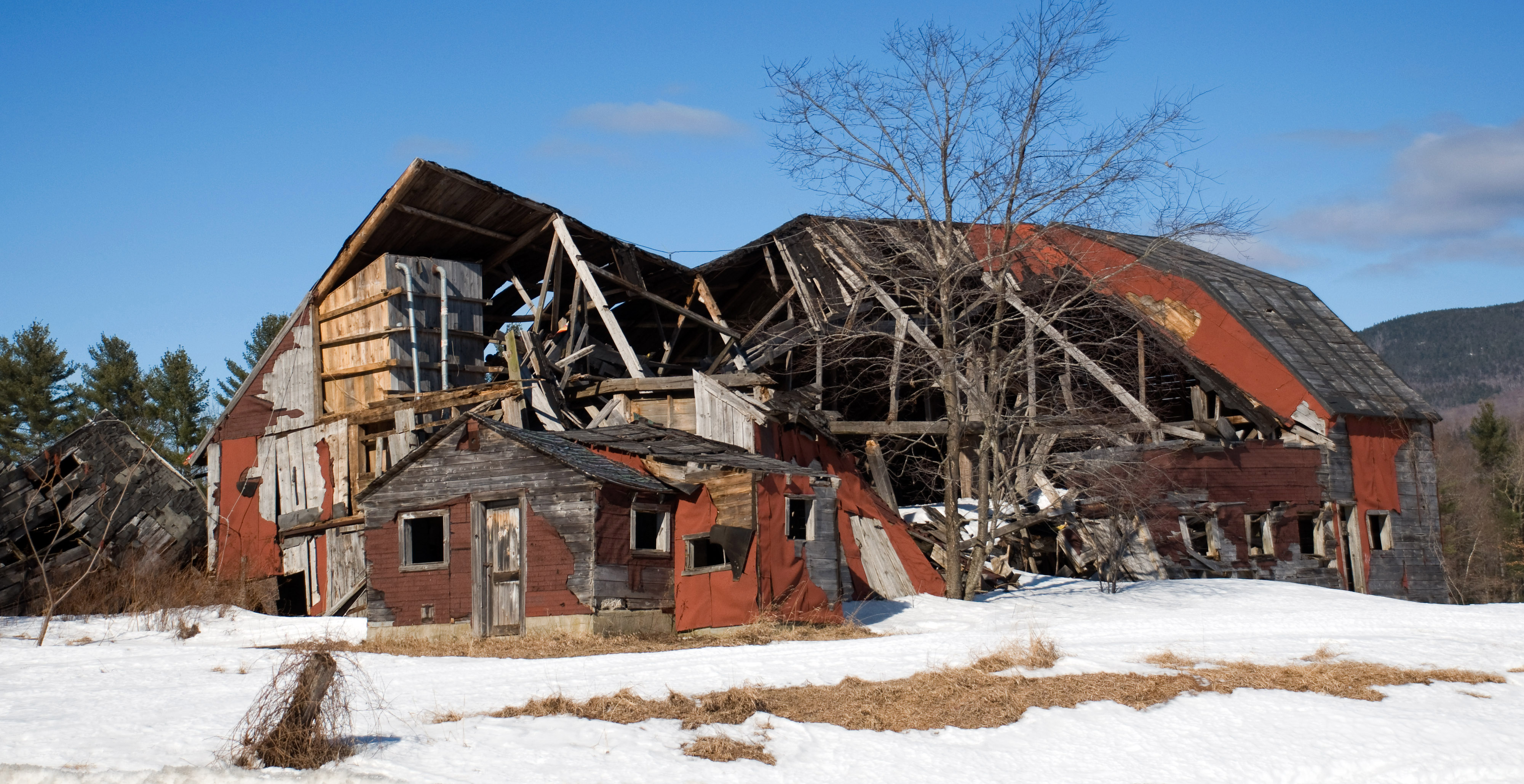
for sale: could use some paint

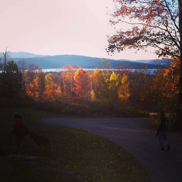
2011-NORTHEAST145-View from Patty's deck
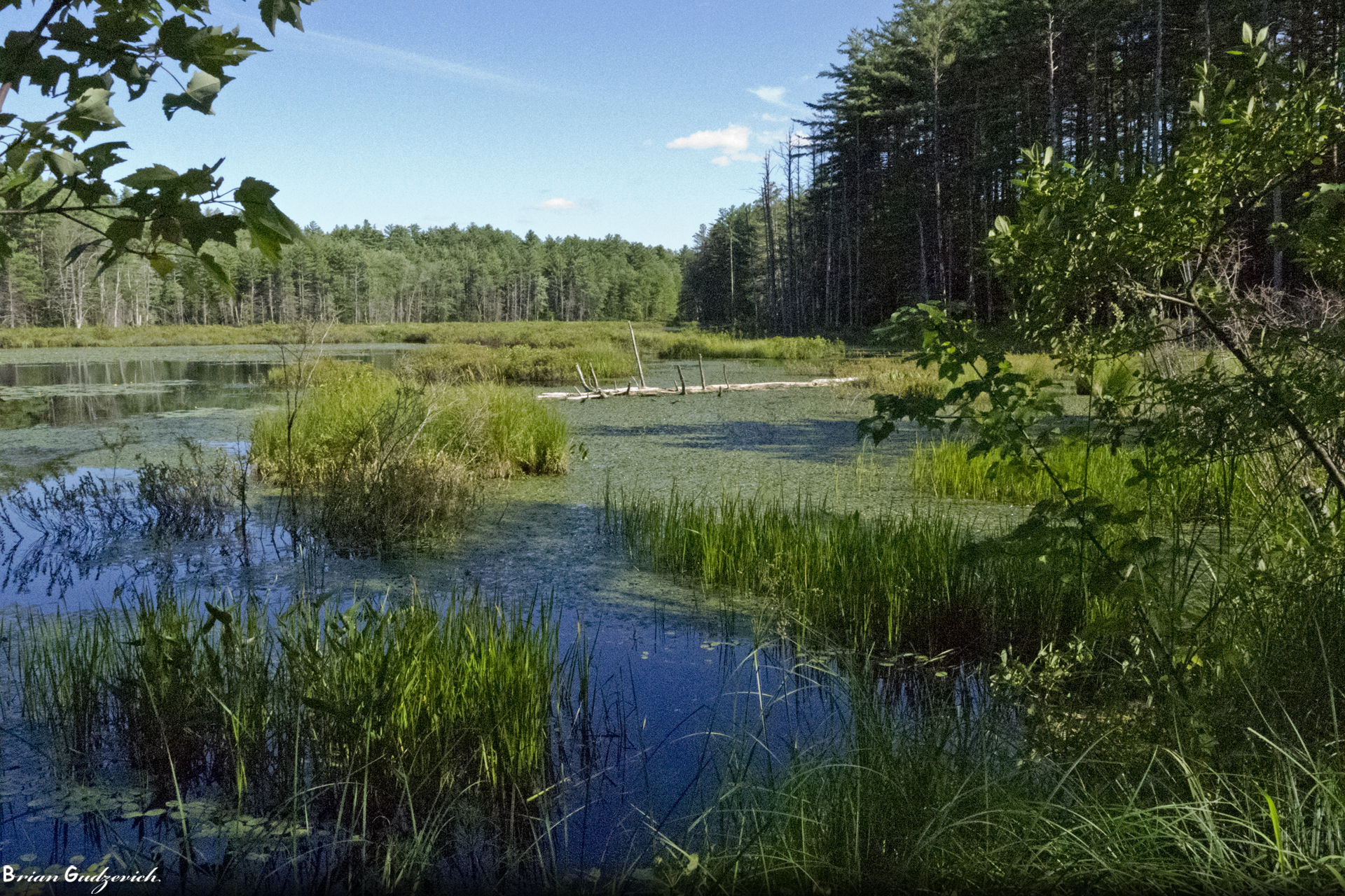
A View of Quincy Bog
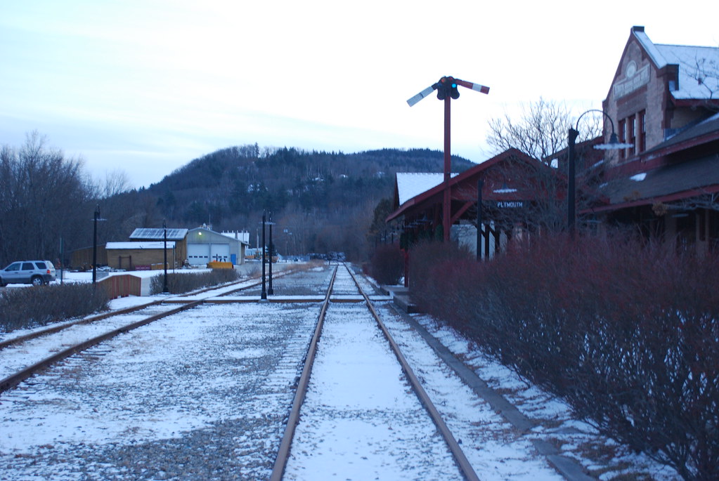
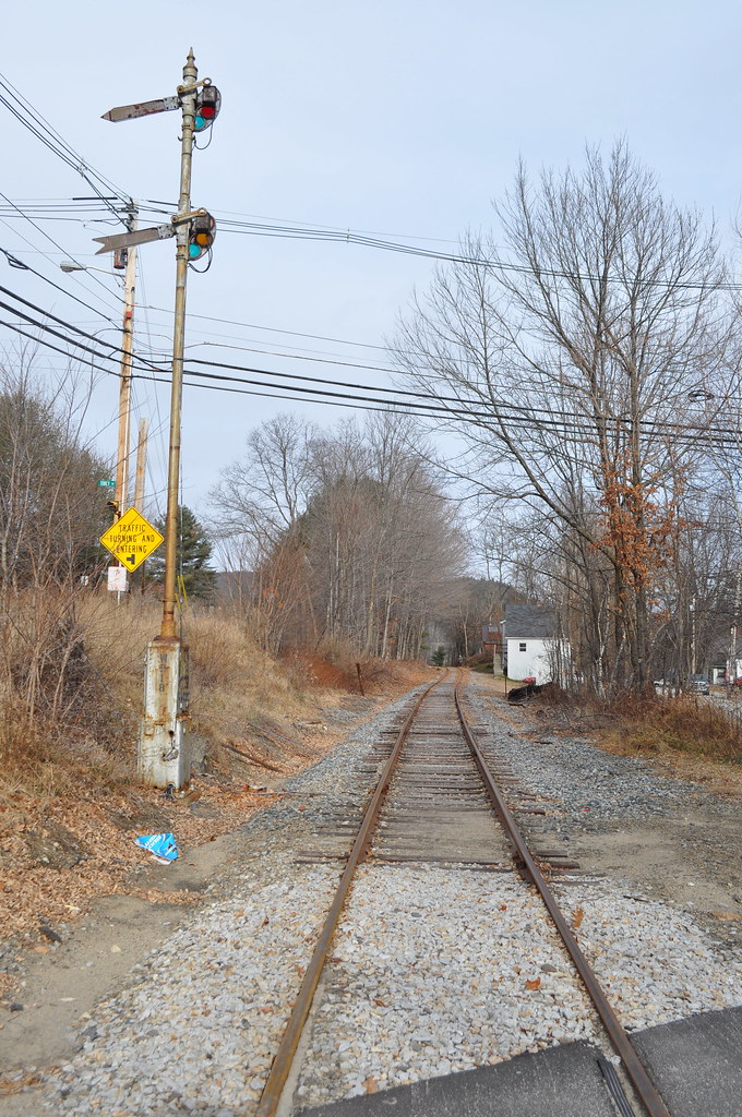
Looking South Down the Tracks
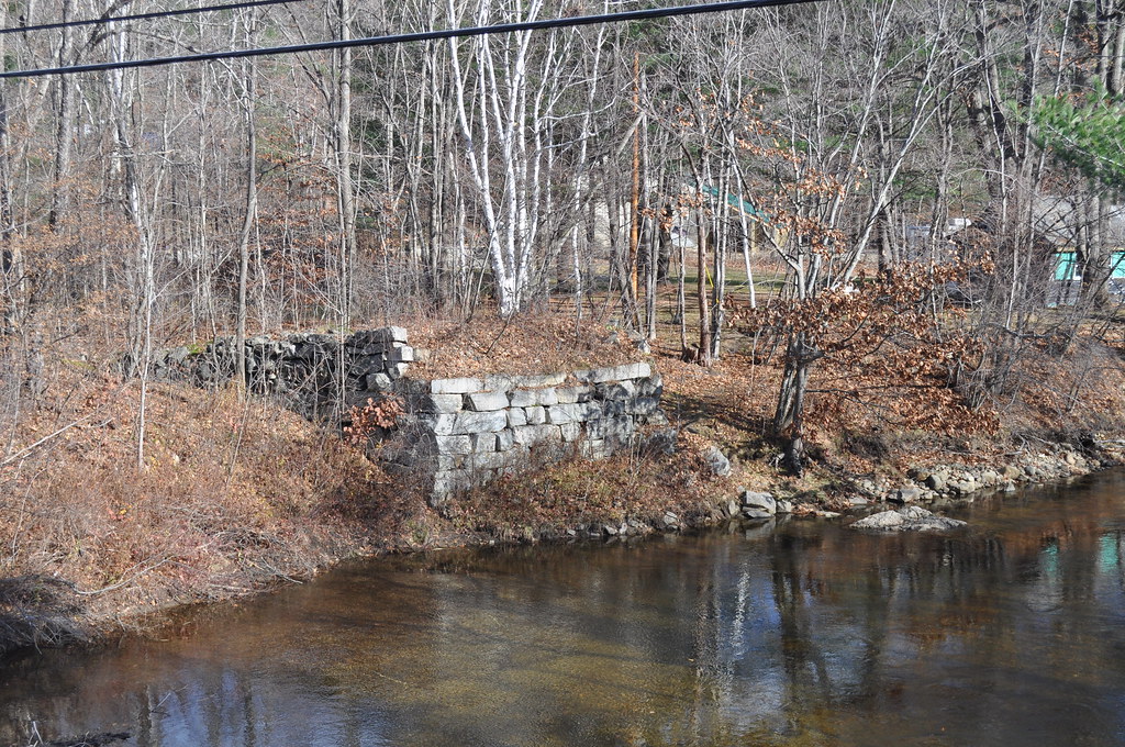
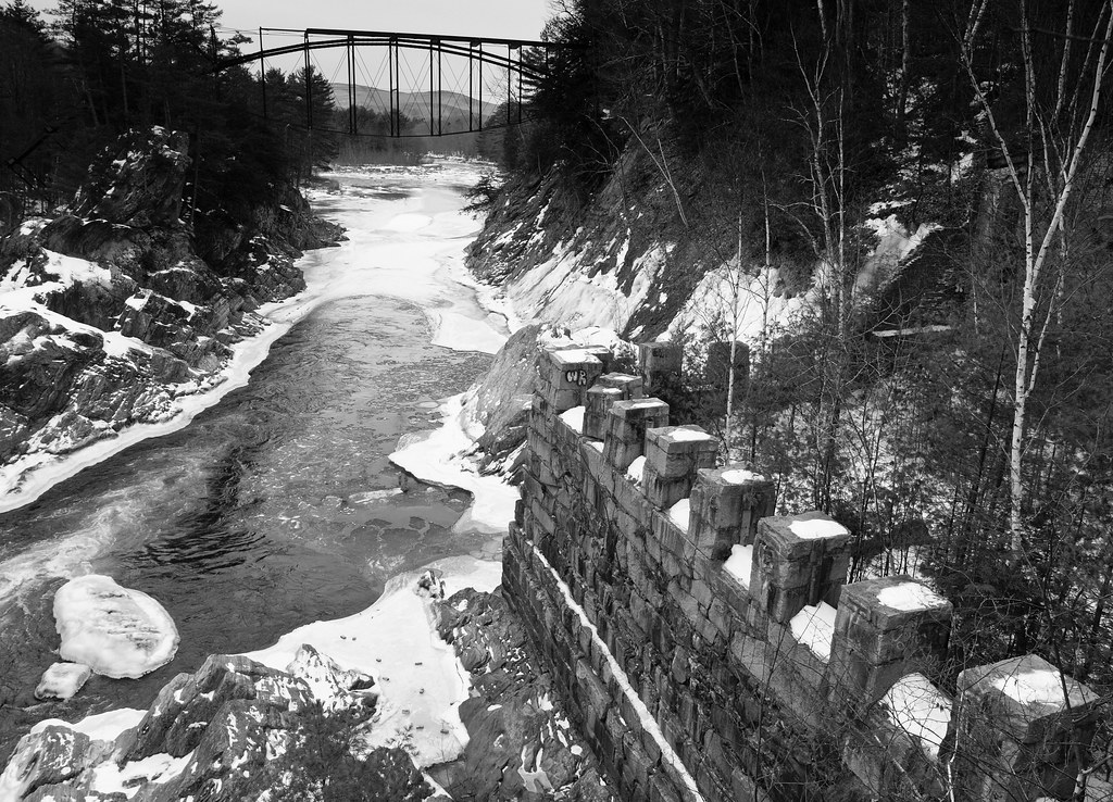
Wentworth Bridge Abutment

Looking west

View from the Farm

Luther "Guitar Junior" Johnson
River Remnants

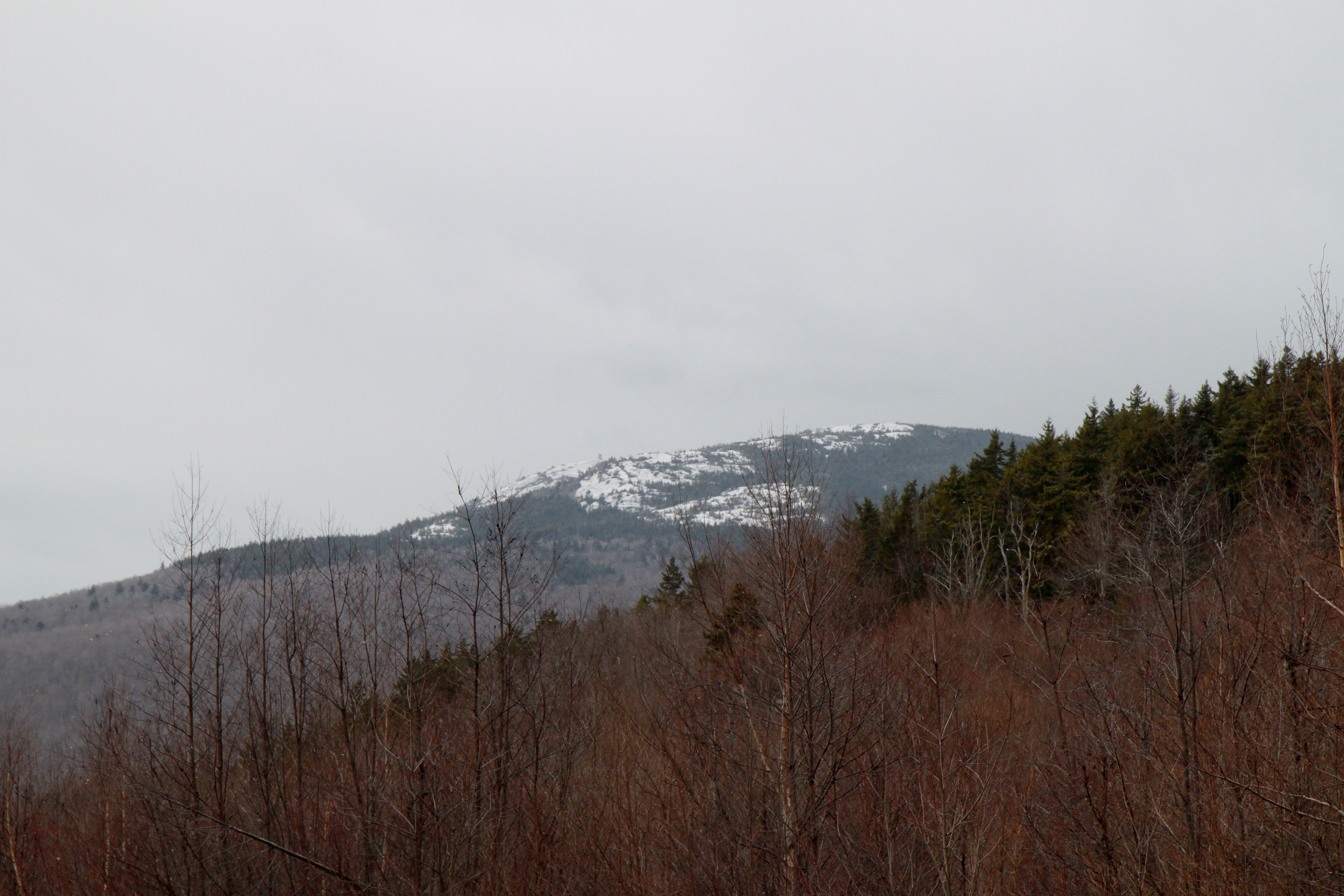
Tenney Mountain From Fairgrounds Rd.
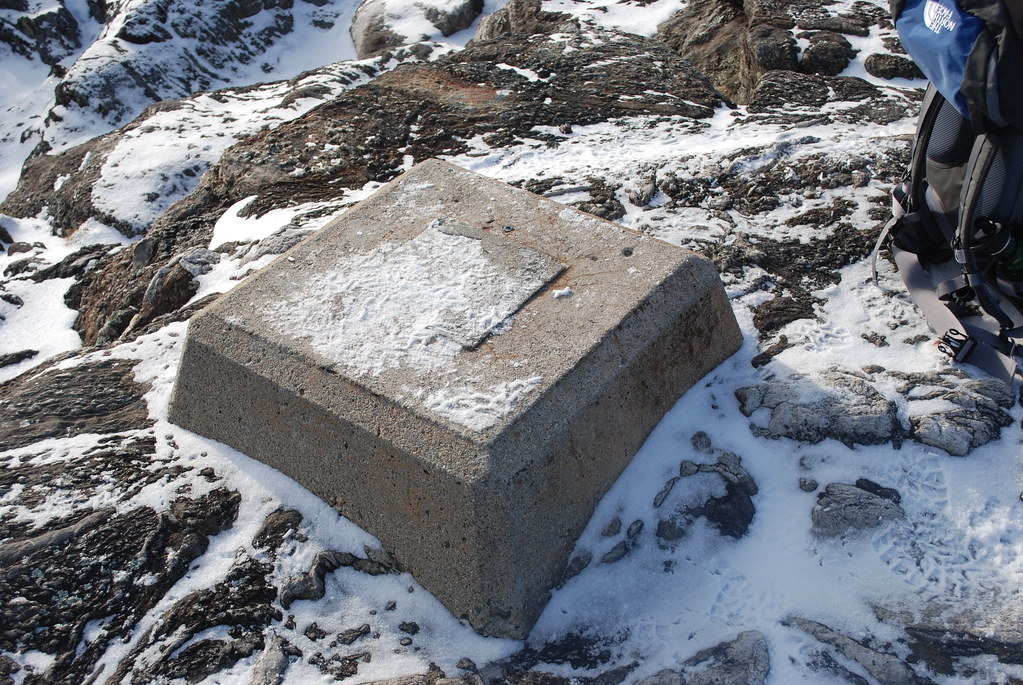
Old Fire Tower Base
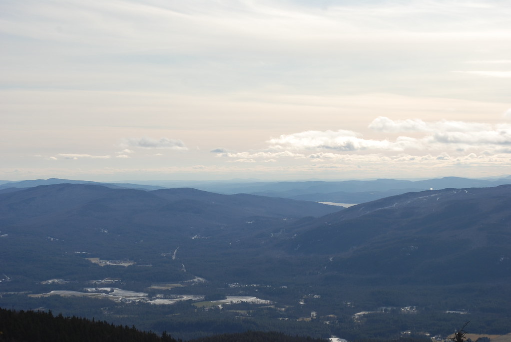
View from Atop Mount Stinson

Storm's brewing
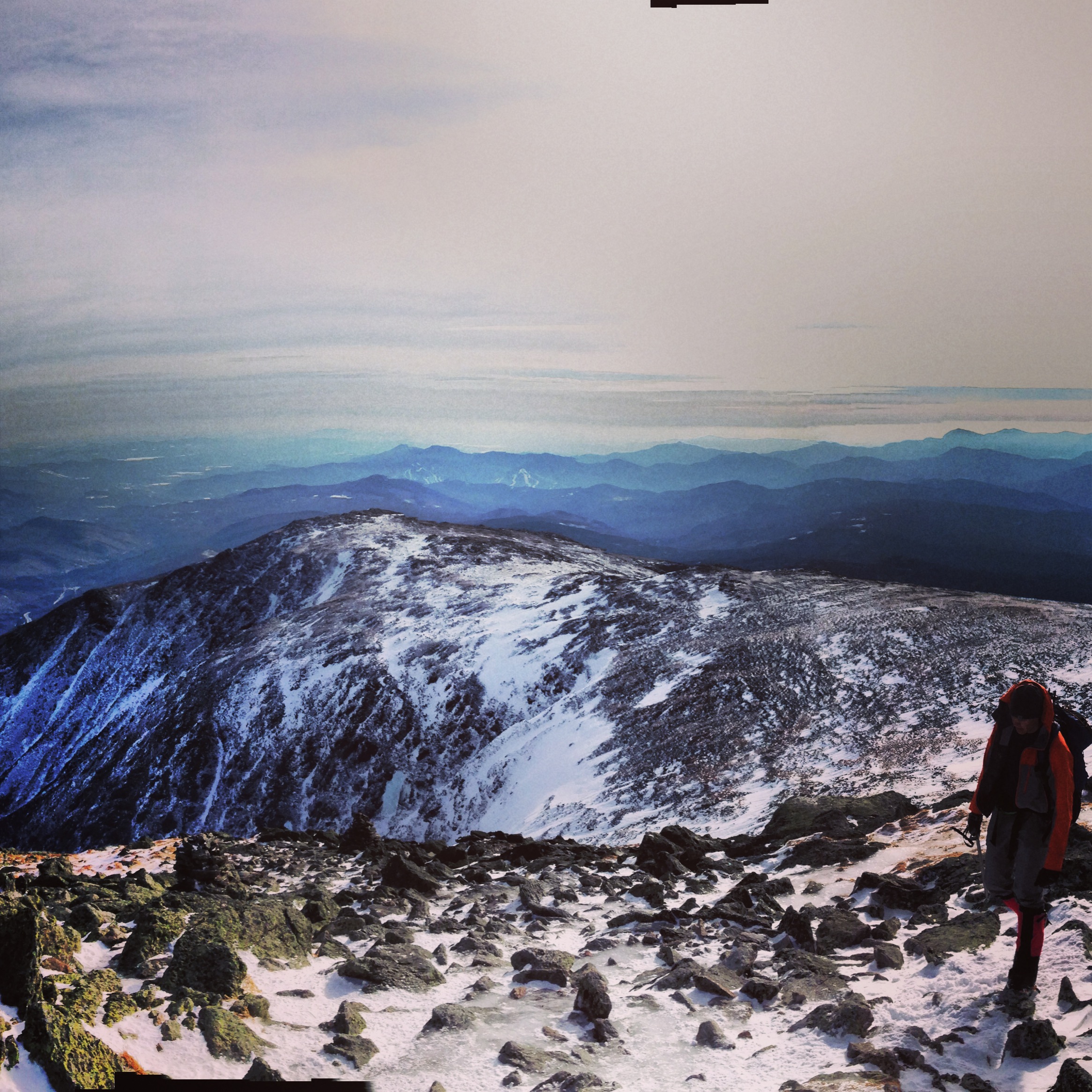
Top of the climb
20140201133436-1

IMG_7774.jpg
livermore falls

Fall Foliage@ Blair Bridge
nexus 4

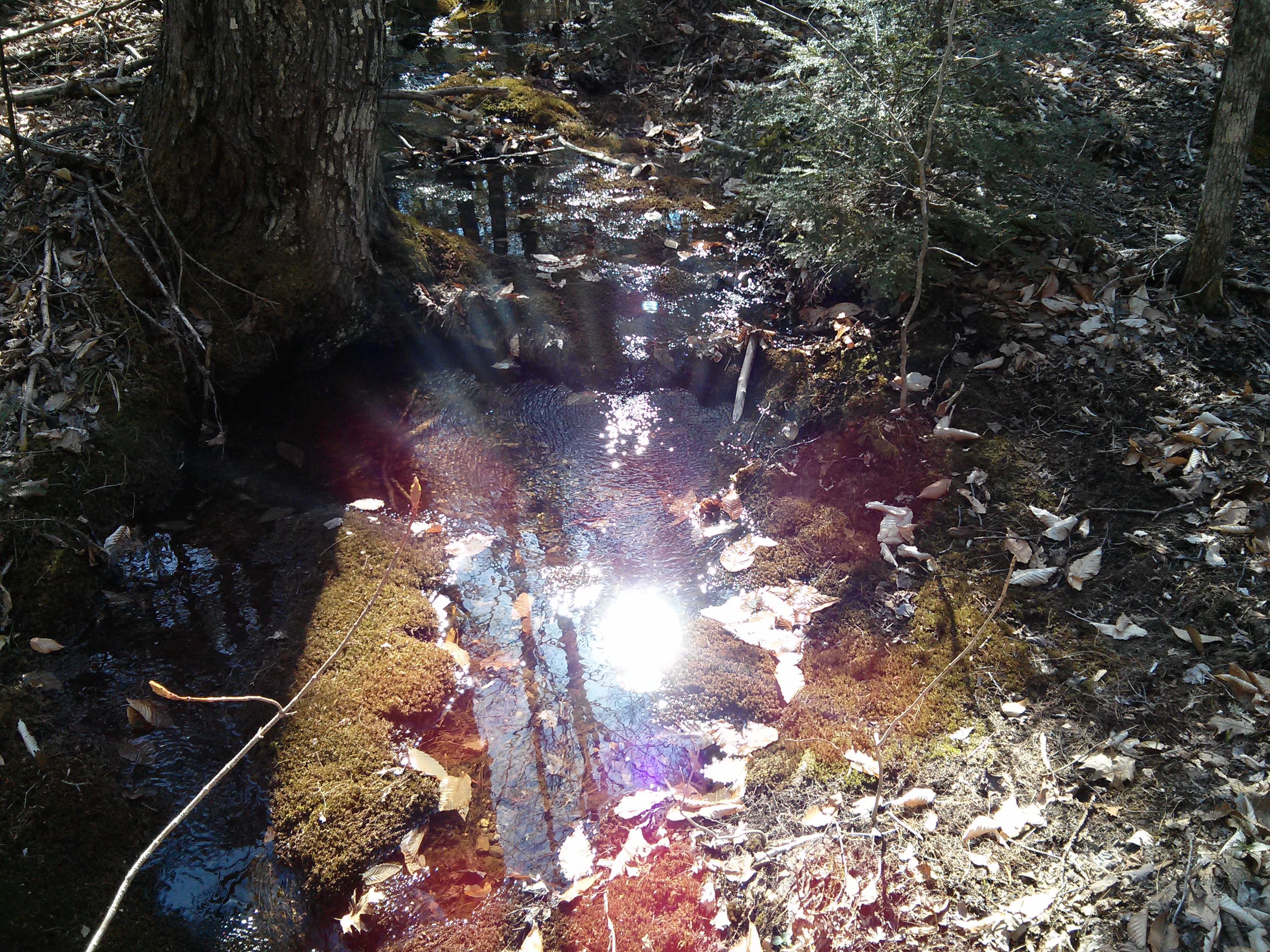
Whitehouse Brook

IMG_7752.jpg

DSCN3307.JPG
Campton Falls

Mossy Trail
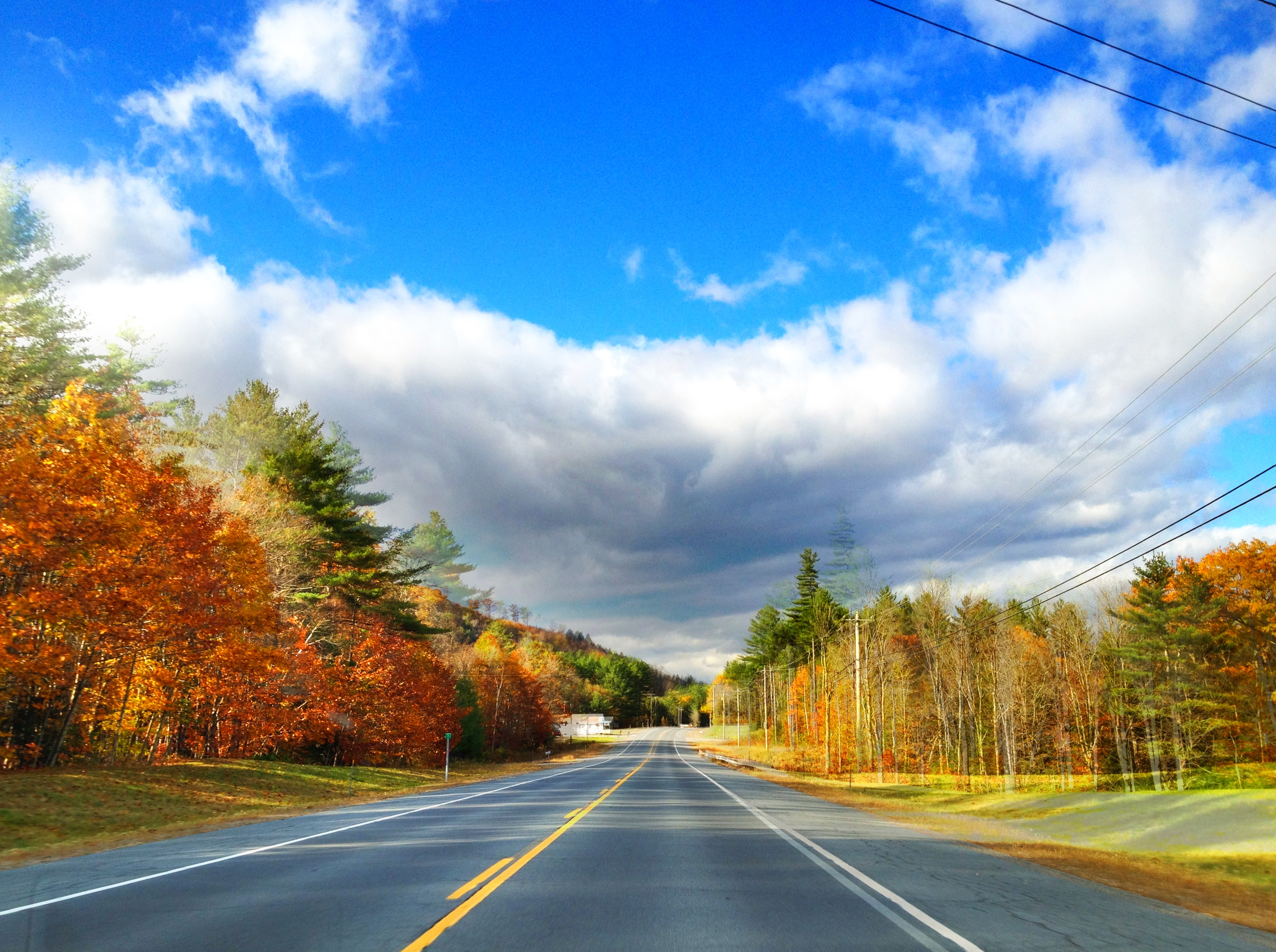
West Rumney, New Hampshire

nexus 4

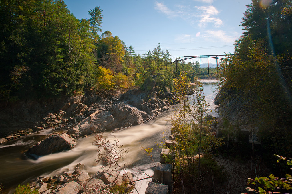
Livermore Falls Bridge near Plymouth NH
nexus 4
Topographic Map of School St, Rumney, NH, USA
Find elevation by address:

Places near School St, Rumney, NH, USA:
220 Quincy Rd
Rumney
330 Groton Hollow Rd
115 Old N Groton Rd
37 Stage Coach Rd
Quincy Rd, Rumney, NH, USA
43 Kittredge Ln, Rumney, NH, USA
2703 Stinson Lake Rd
New Hampshire 118
Dorchester Road
1 Riverside Drive
1180 Nh-118
Grafton County
191 Hearse House Rd
Mt Moosilauke Hwy, Wentworth, NH, USA
Wentworth
100 Nh-118
254 Beech Hill Rd
Warren
121 Clough Rd
Recent Searches:
- Elevation of Rojo Ct, Atascadero, CA, USA
- Elevation of Flagstaff Drive, Flagstaff Dr, North Carolina, USA
- Elevation of Avery Ln, Lakeland, FL, USA
- Elevation of Woolwine, VA, USA
- Elevation of Lumagwas Diversified Farmers Multi-Purpose Cooperative, Lumagwas, Adtuyon, RV32+MH7, Pangantucan, Bukidnon, Philippines
- Elevation of Homestead Ridge, New Braunfels, TX, USA
- Elevation of Orchard Road, Orchard Rd, Marlborough, NY, USA
- Elevation of 12 Hutchinson Woods Dr, Fletcher, NC, USA
- Elevation of Holloway Ave, San Francisco, CA, USA
- Elevation of Norfolk, NY, USA