Elevation of Schnorf-Jones Rd, Arcanum, OH, USA
Location: United States > Ohio > Darke County > Franklin Township >
Longitude: -84.469668
Latitude: 40.03549
Elevation: 310m / 1017feet
Barometric Pressure: 98KPa
Elevation Map:
Satellite Map:
Related Photos:

Smack Dab In The Middle Of Everything
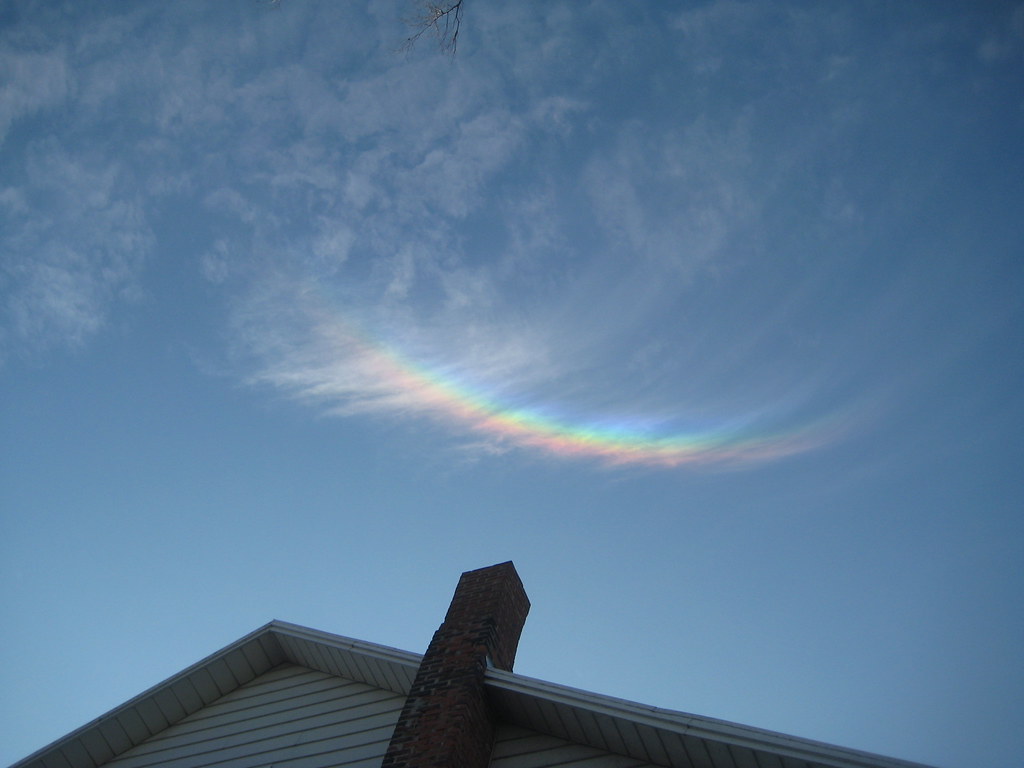
Neat Sundog Over Church
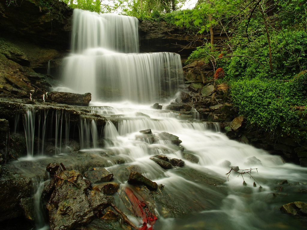
Urban Waterfalling Has One Drawback
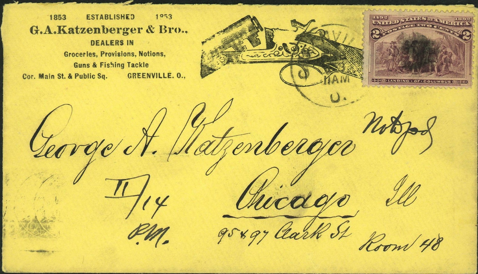
Envelope for Letter to George A. Katzenberger from Greenville to Chicago: 1893
Fort Jefferson, Ohio

God is Good

Maid Rite - Greenville, OH - Gum Wall

View in Greenville
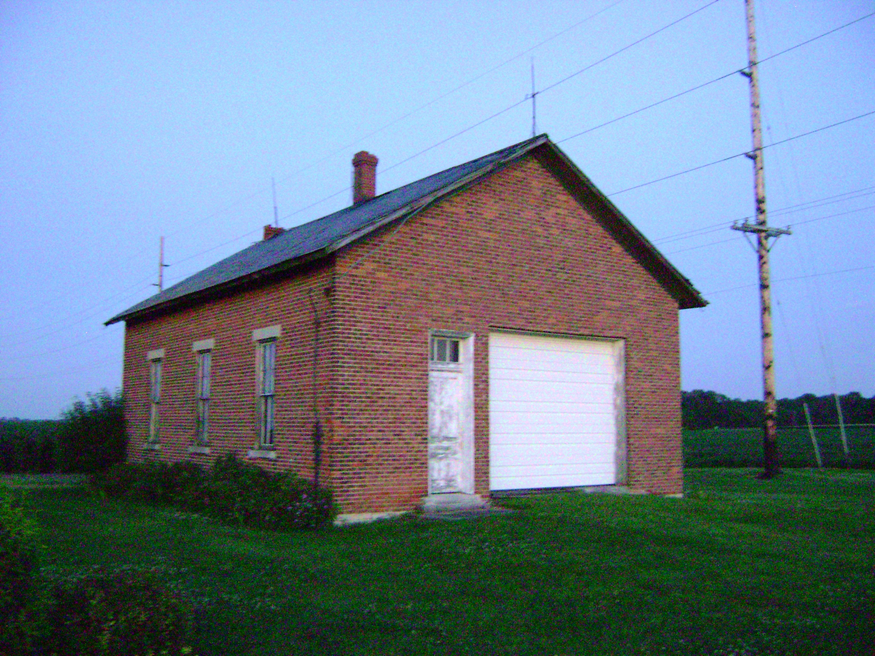
Circle Hill, Ohio- Famous Schoolhouse

Honey Extractor-Top view
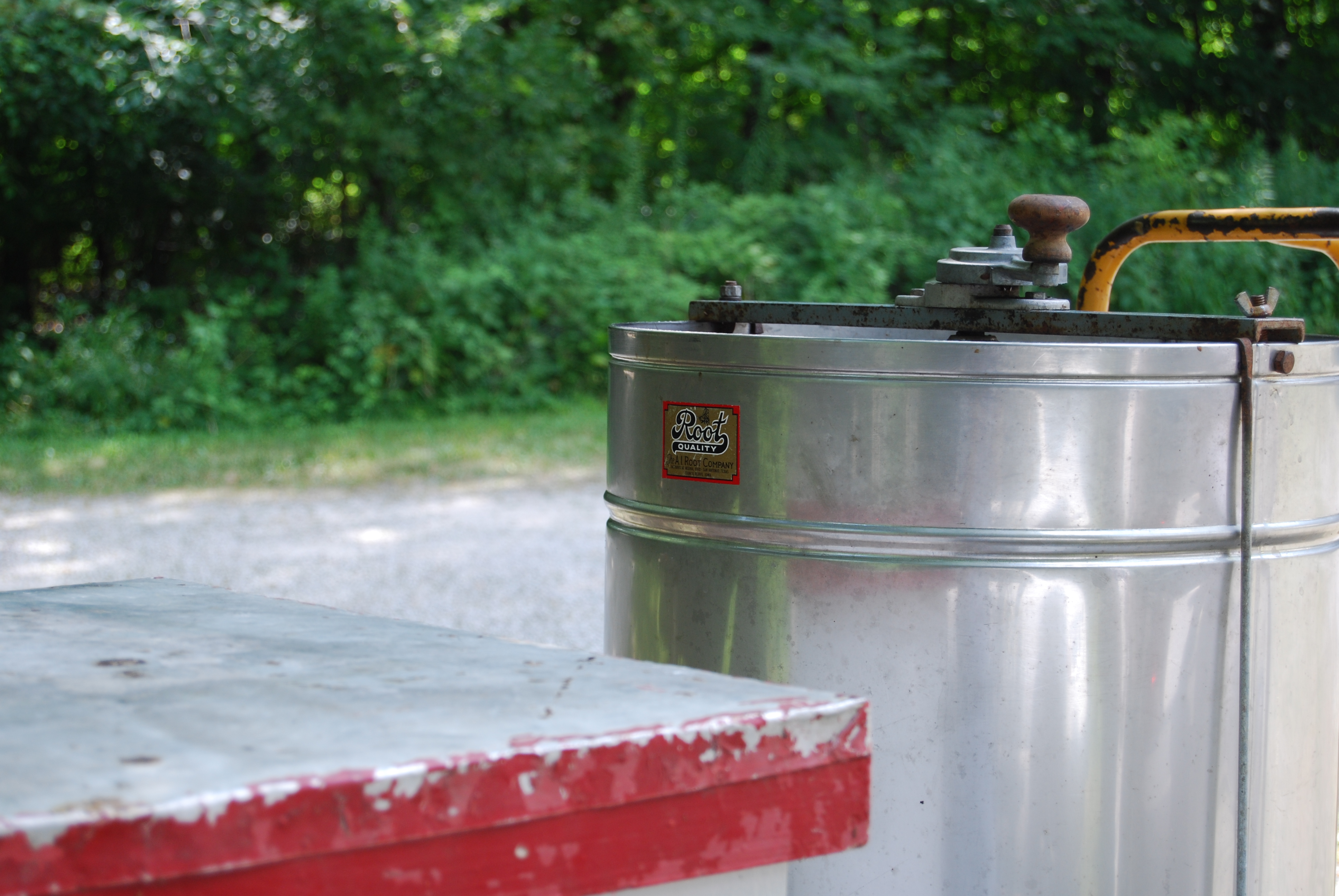
Honey Extractor-Side view with Manuf. Label
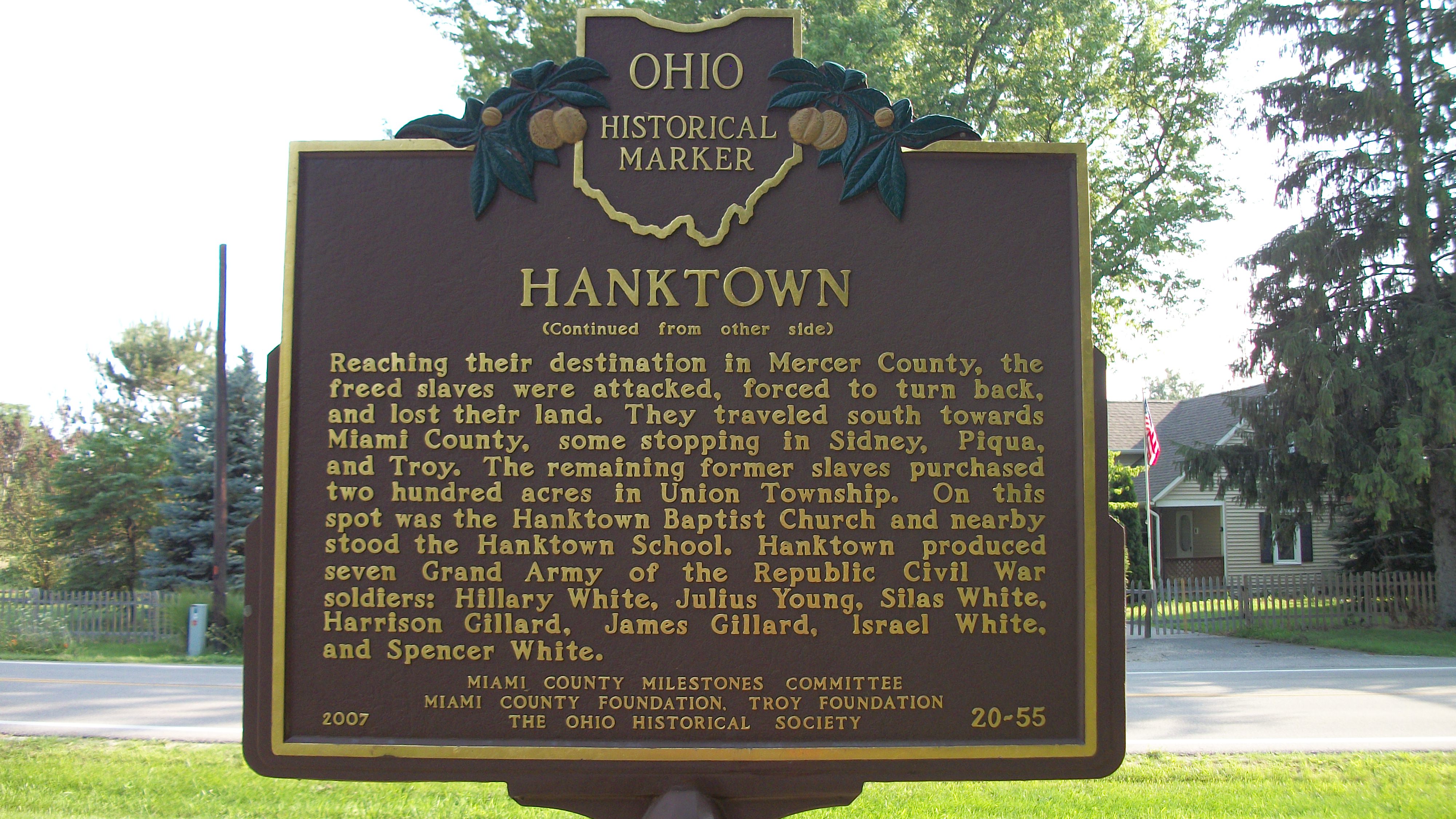
Hanktown Historical Marker
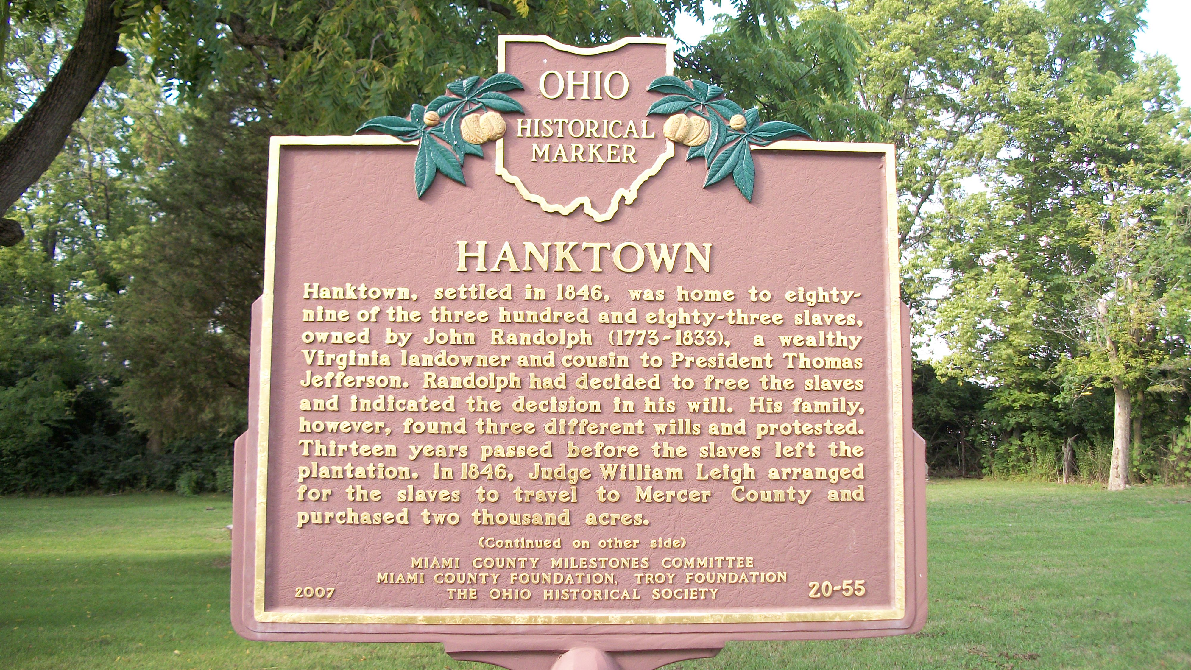
Hanktown Historical Marker
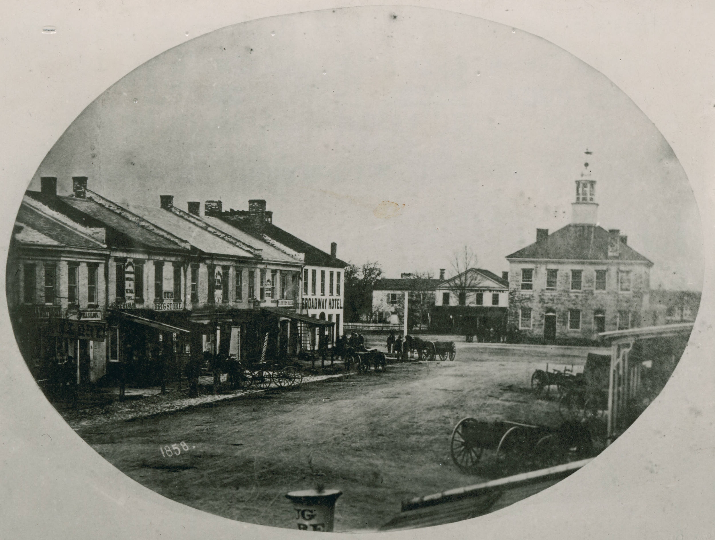
Greenville, Ohio

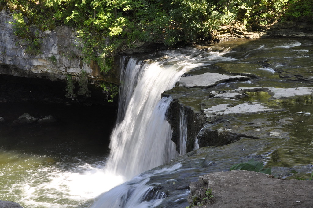
Greenville Falls 2011 0731 (2)

West Milton 2013 0112 (1) Waterfall

West Milton 2013 0112 (5) Waterfall
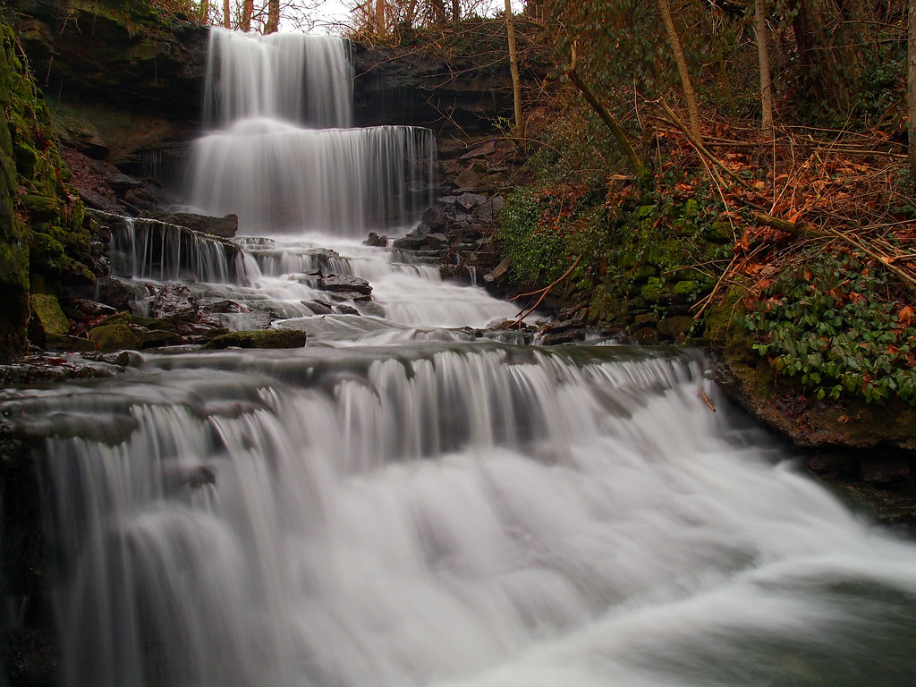
Ludlow Falls
Secrets Of The City

Misty River (impression 4)

Stillwater River with crepuscular rays
Morning light
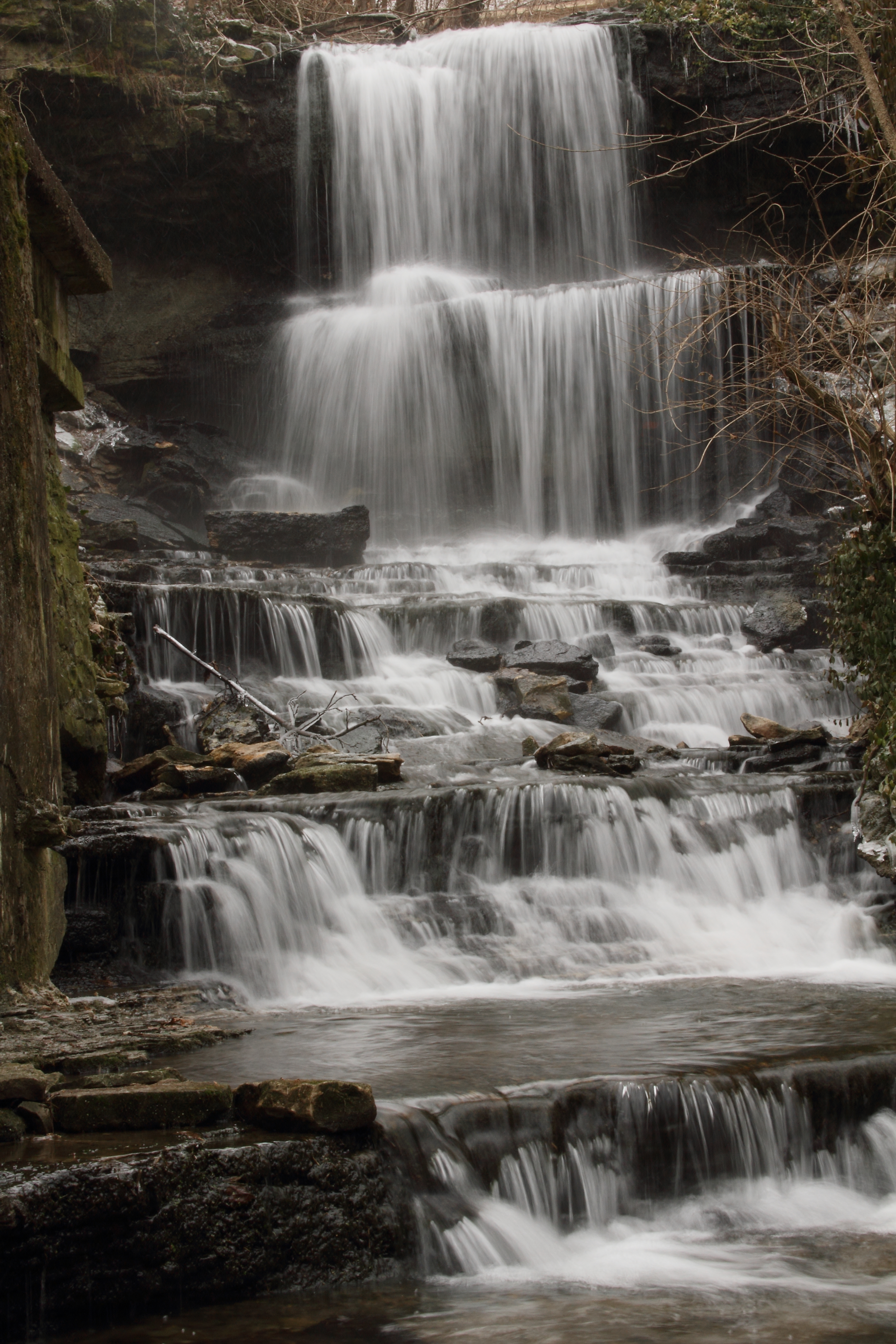
West Milton Falls 003
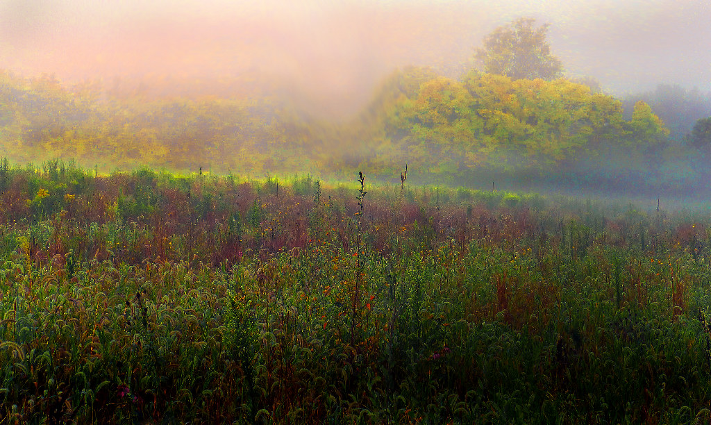
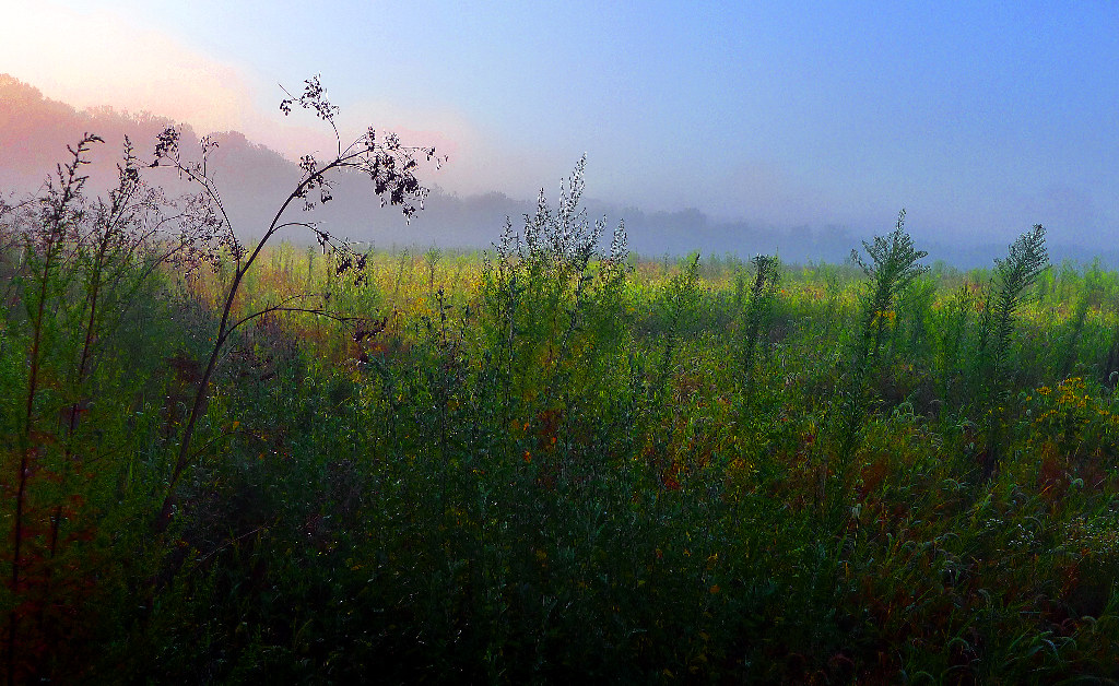
Stillwater field Impression 2

A picture of trees and water.

Ludlow Falls
bears mill

X-treme on tha green

West Milton 2013 0112 (4) Waterfall
bears mill, greenville, oh

Waterfalls around Dayton, Ohio

Evening on the Greenville Creek

GCV2ZT - Geocaching
Topographic Map of Schnorf-Jones Rd, Arcanum, OH, USA
Find elevation by address:

Places near Schnorf-Jones Rd, Arcanum, OH, USA:
Franklin Township
Hollansburg-Sampson Rd, Arcanum, OH, USA
Burkholder Rd, Greenville, OH, USA
1556 Oh-49
Graw Rd, Arcanum, OH, USA
Monroe Township
Arcanum
6713 Dull Rd
Twin Township
Main St, Gordon, OH, USA
Gordon
Ithaca
Cross St, Arcanum, OH, USA
Sebring Warner Road
5119 Sebring Warner Rd
5119 Sebring Warner Rd
5119 Sebring Warner Rd
5119 Sebring Warner Rd
5119 Sebring Warner Rd
5119 Sebring Warner Rd
Recent Searches:
- Elevation of Lytham Ln, Katy, TX, USA
- Elevation of Tater Hill, Oklahoma, USA
- Elevation of NY-, Friendship, NY, USA
- Elevation of 64 Danakas Dr, Winnipeg, MB R2C 5N7, Canada
- Elevation of 4 Vale Rd, Sheffield S3 9QX, UK
- Elevation of Keene Point Drive, Keene Point Dr, Grant, AL, USA
- Elevation of State St, Zanesville, OH, USA
- Elevation of Austin Stone Dr, Haslet, TX, USA
- Elevation of Bydgoszcz, Poland
- Elevation of Bydgoszcz, Poland