Elevation of Scenic Byway Rd, Henderson, MN, USA
Location: United States > Minnesota > Sibley County > Jessenland Township > Henderson >
Longitude: -93.916652
Latitude: 44.5480553
Elevation: -10000m / -32808feet
Barometric Pressure: 295KPa
Elevation Map:
Satellite Map:
Related Photos:

Capturing Minnesota's Fall Colors

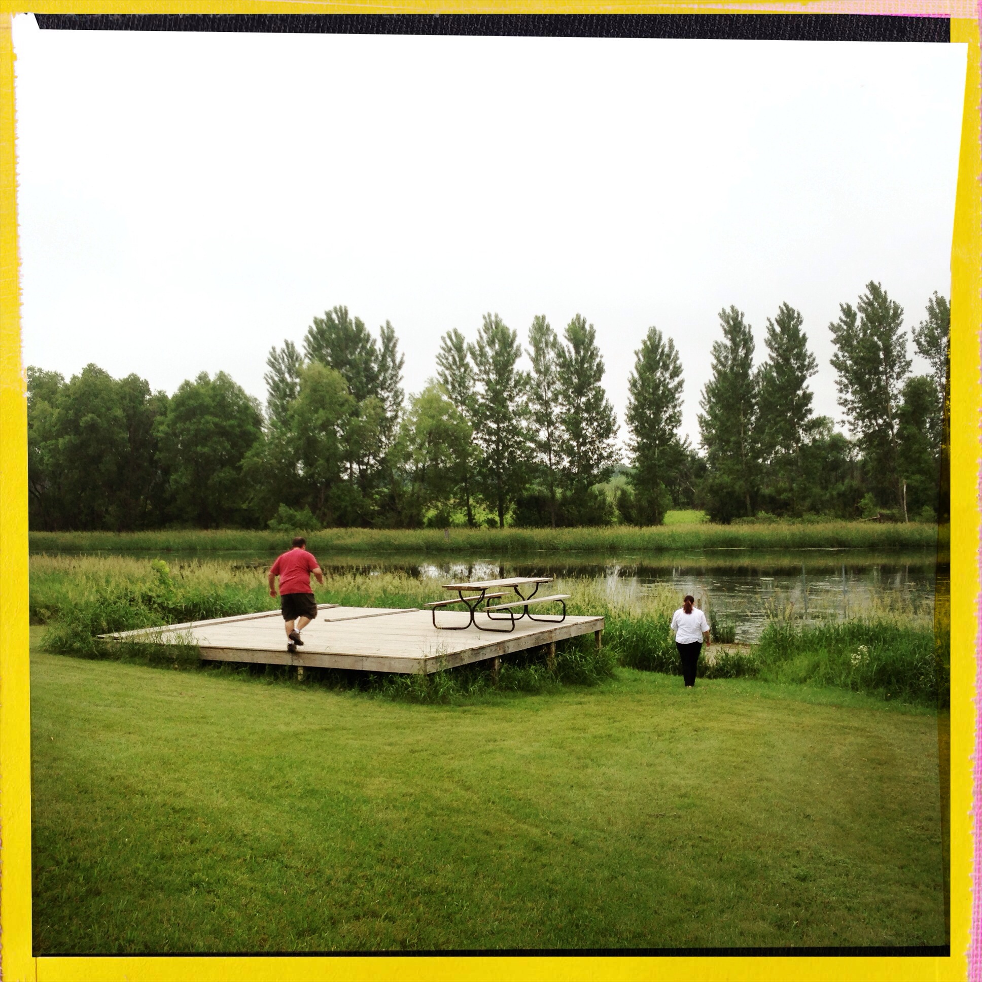
Ney Nature Center

Ney Nature Center

Ney Nature Center

Ney Nature Center
Ney Nature Center

Henderson, Minnesota Flooding Spring 2010

Ney Nature Center

Ney Nature Center

In the field

Into the field

New Rome, Minnesota

Caribou Gun Club pheasant hunt

In the field

High Island Twilight

CAPX2020 Landscape

flooded lanes

small waterfall

Henderson Station Twilight

Le Sueur Power Show 041

Fall Trail

Smith-Cosgrove House
Topographic Map of Scenic Byway Rd, Henderson, MN, USA
Find elevation by address:

Places near Scenic Byway Rd, Henderson, MN, USA:
Henderson
Main St, Henderson, MN, USA
Scenic Byway Rd, Henderson, MN, USA
27307 351st Ave
Jessenland Township
Blakeley Township
Le Sueur County
Elm Way, Belle Plaine, MN, USA
Tyrone Township
26881 320th St
Sharon Township
Caribou Gun Club
MN-25, Green Isle, MN, USA
120 S Willow St
E Main St, Arlington, MN, USA
S Meridian St, Belle Plaine, MN, USA
Belle Plaine
215 W Beaver St
215 W Beaver St
215 W Beaver St
Recent Searches:
- Elevation of Sarangdanda, Nepal
- Elevation of 7 Waterfall Way, Tomball, TX, USA
- Elevation of SW 57th Ave, Portland, OR, USA
- Elevation of Crocker Dr, Vacaville, CA, USA
- Elevation of Pu Ngaol Community Meeting Hall, HWHM+3X7, Krong Saen Monourom, Cambodia
- Elevation of Royal Ontario Museum, Queens Park, Toronto, ON M5S 2C6, Canada
- Elevation of Groblershoop, South Africa
- Elevation of Power Generation Enterprises | Industrial Diesel Generators, Oak Ave, Canyon Country, CA, USA
- Elevation of Chesaw Rd, Oroville, WA, USA
- Elevation of N, Mt Pleasant, UT, USA