Elevation of SC-, Lyman, SC, USA
Location: United States > South Carolina > Spartanburg County > Lyman >
Longitude: -82.178649
Latitude: 34.9985788
Elevation: 283m / 928feet
Barometric Pressure: 98KPa
Elevation Map:
Satellite Map:
Related Photos:

Tree with Mushrooms in Landrum, SC

Shortened, Black DiamondBack SE Cover on White, CNG-Converted Silverado

Federal Sign & Signal Model 5T - Campobello, SC
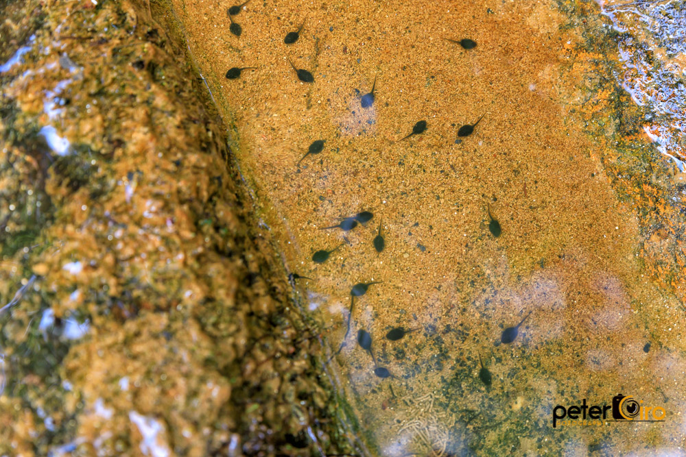
Tadpoles in a Puddle at the Campbell Covered Bridge in Landrum, SC
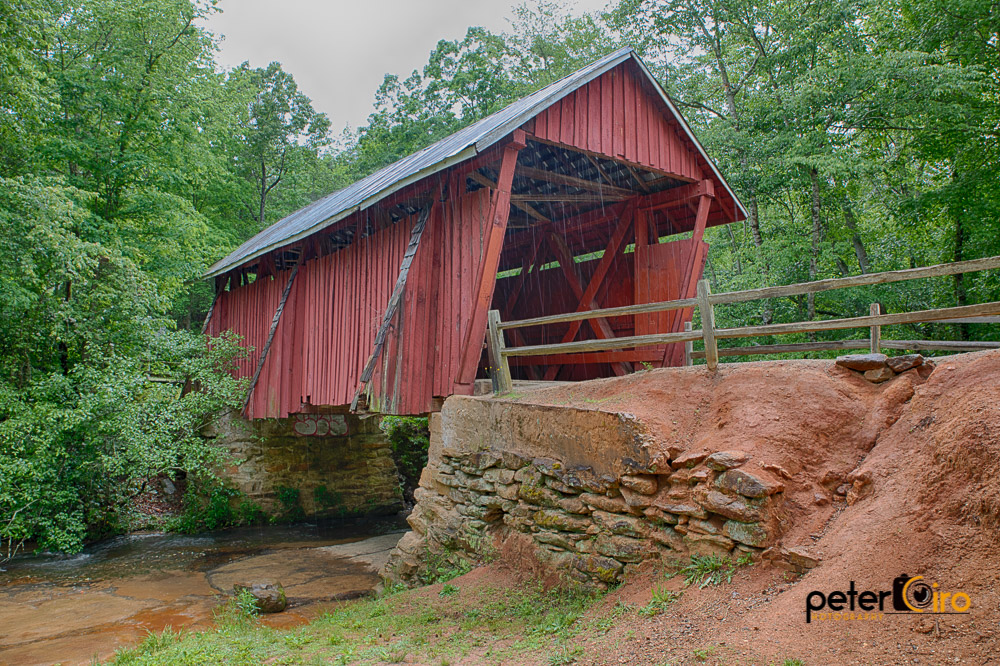
Campbell Covered Bridge in the rain in Landrum, SC
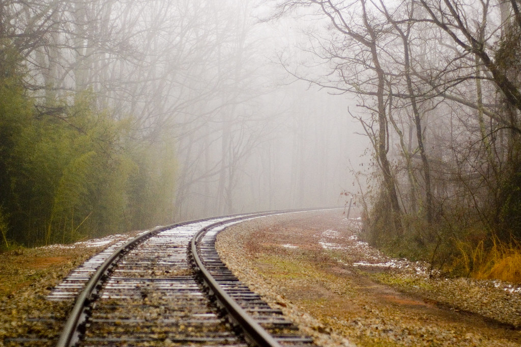
railroad fog 1
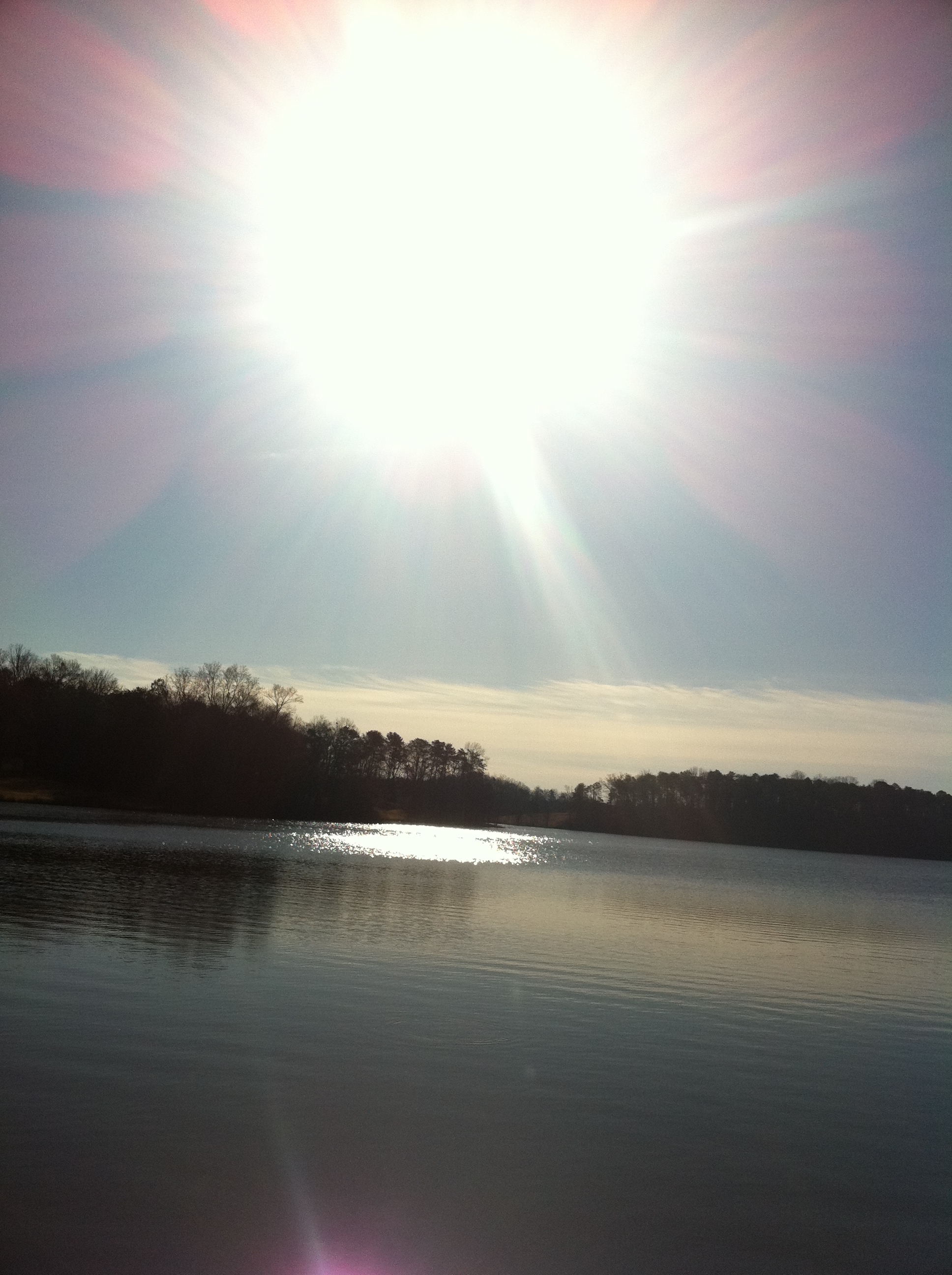
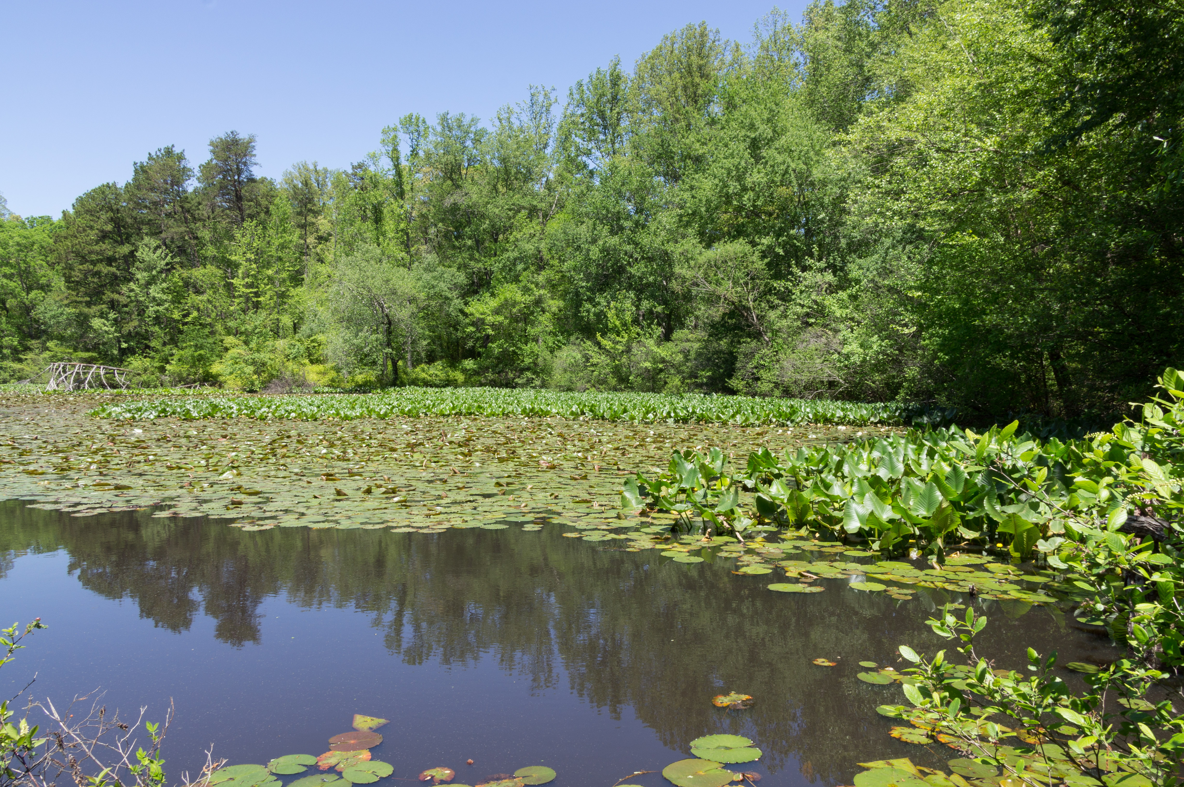
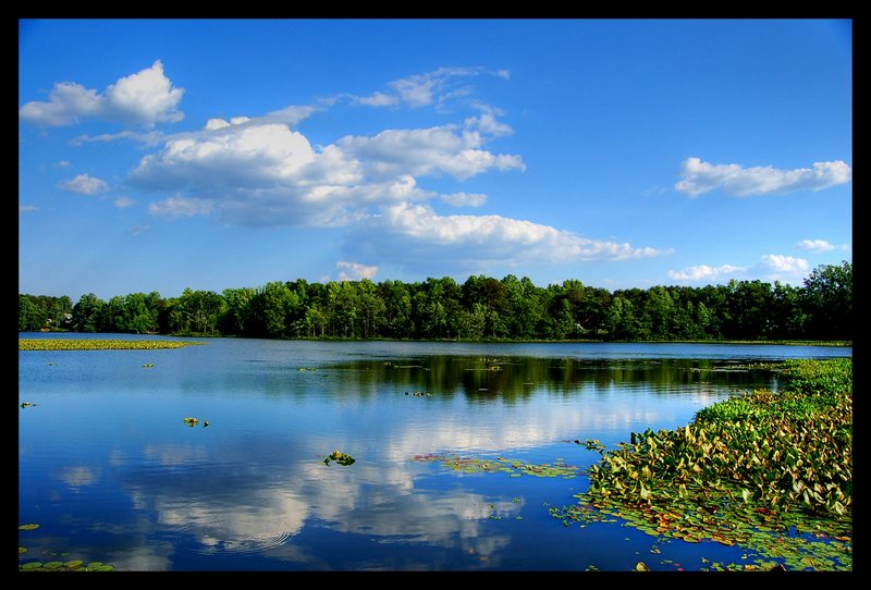
Lake Cunningham 2
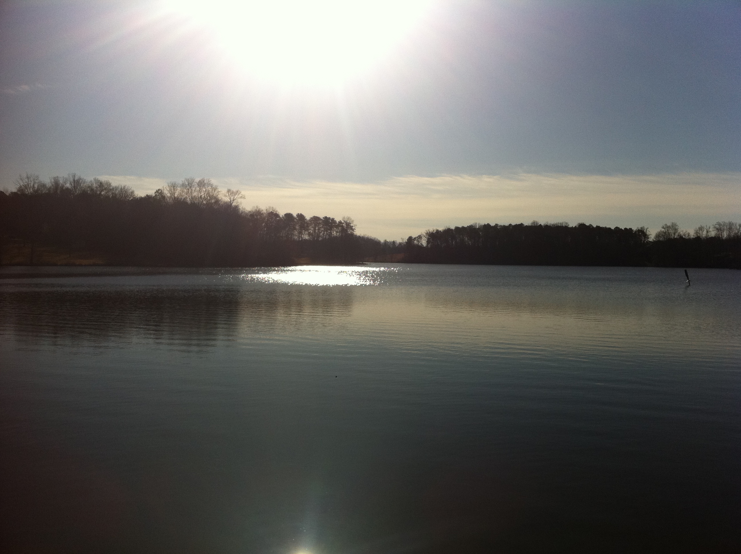
Lake Cunningham
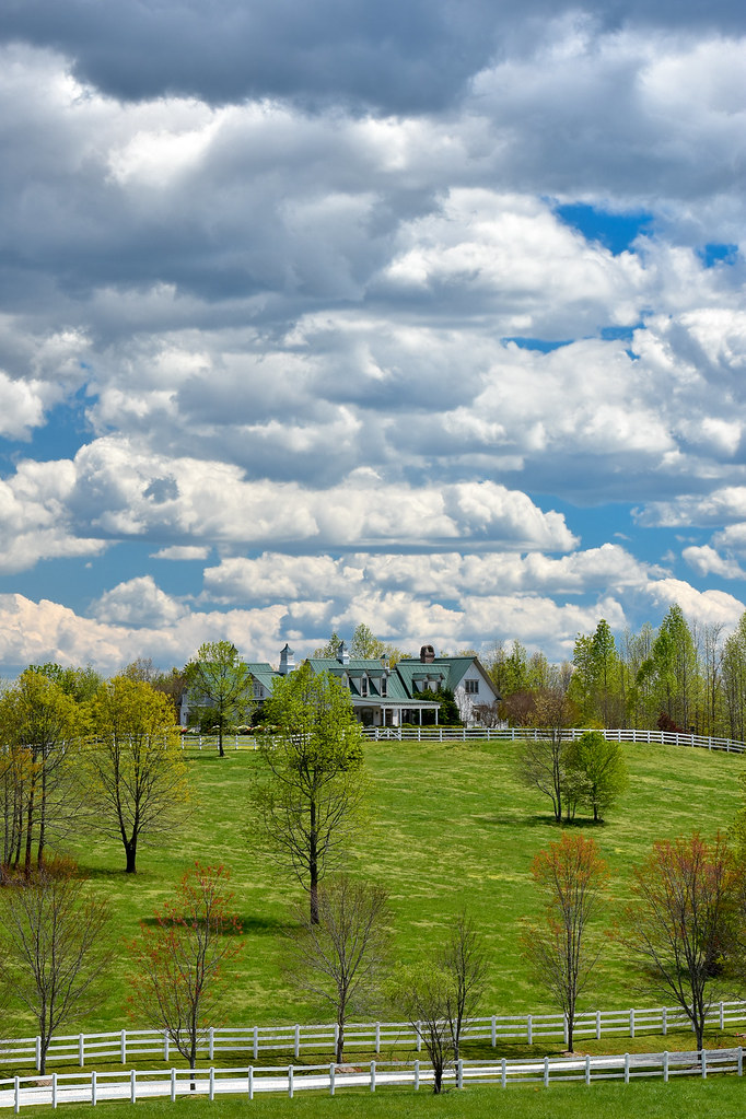
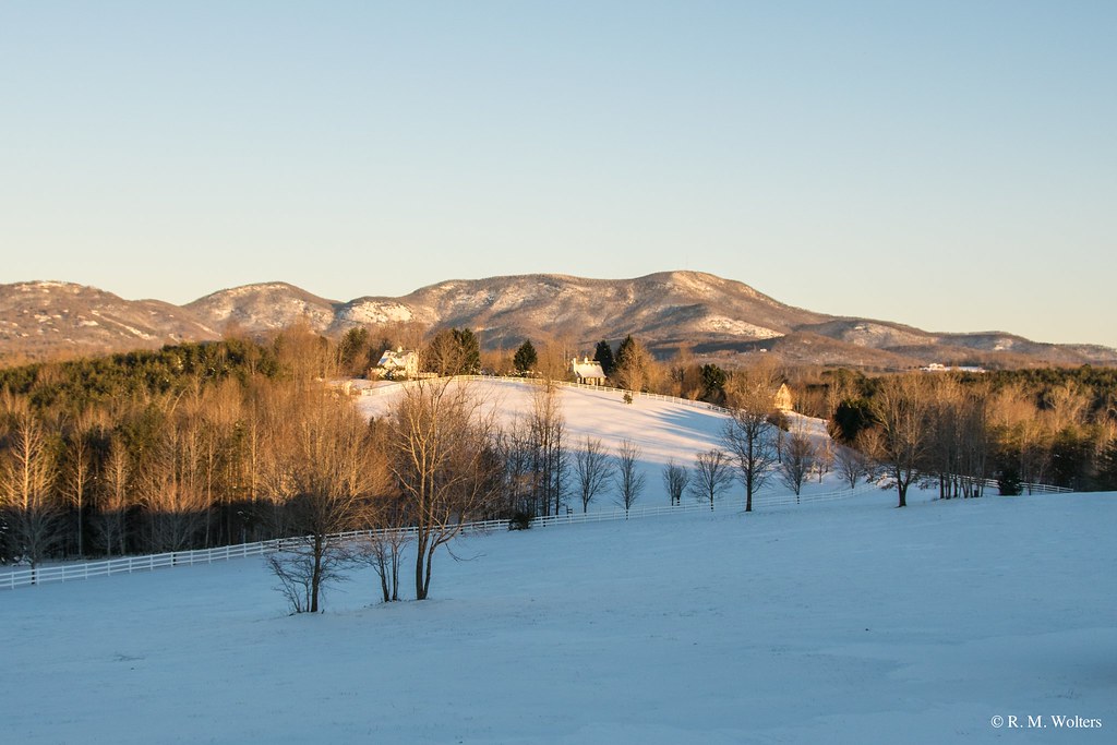
Main Inn View
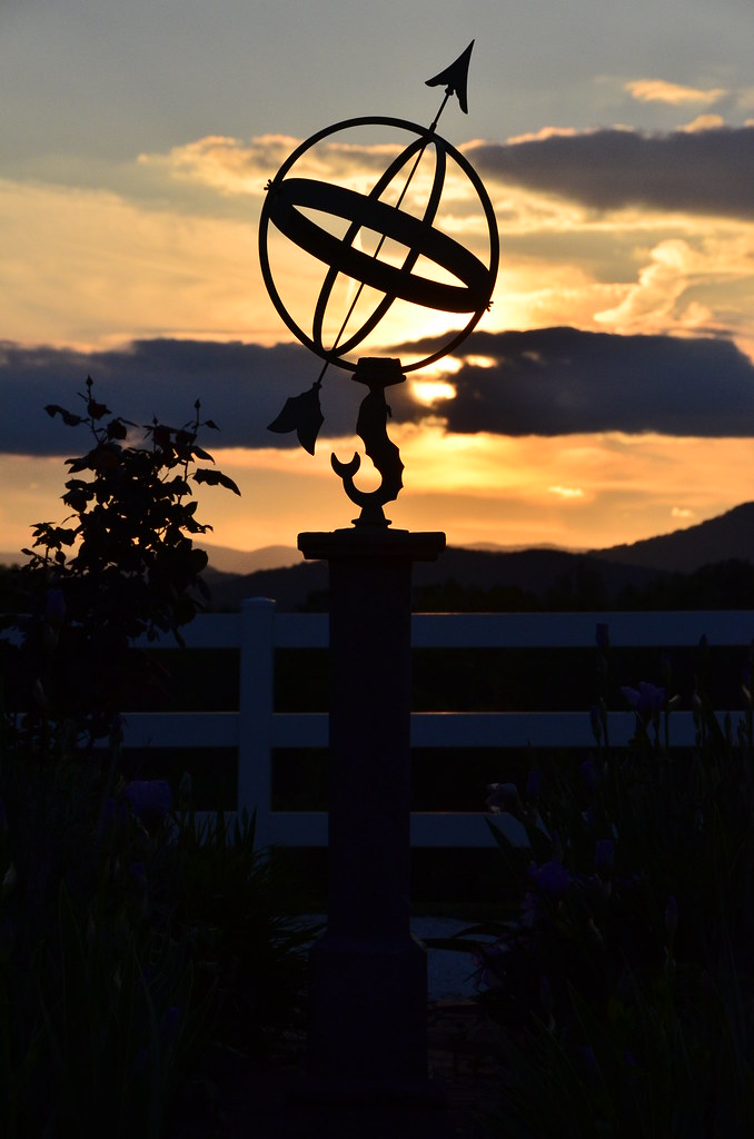
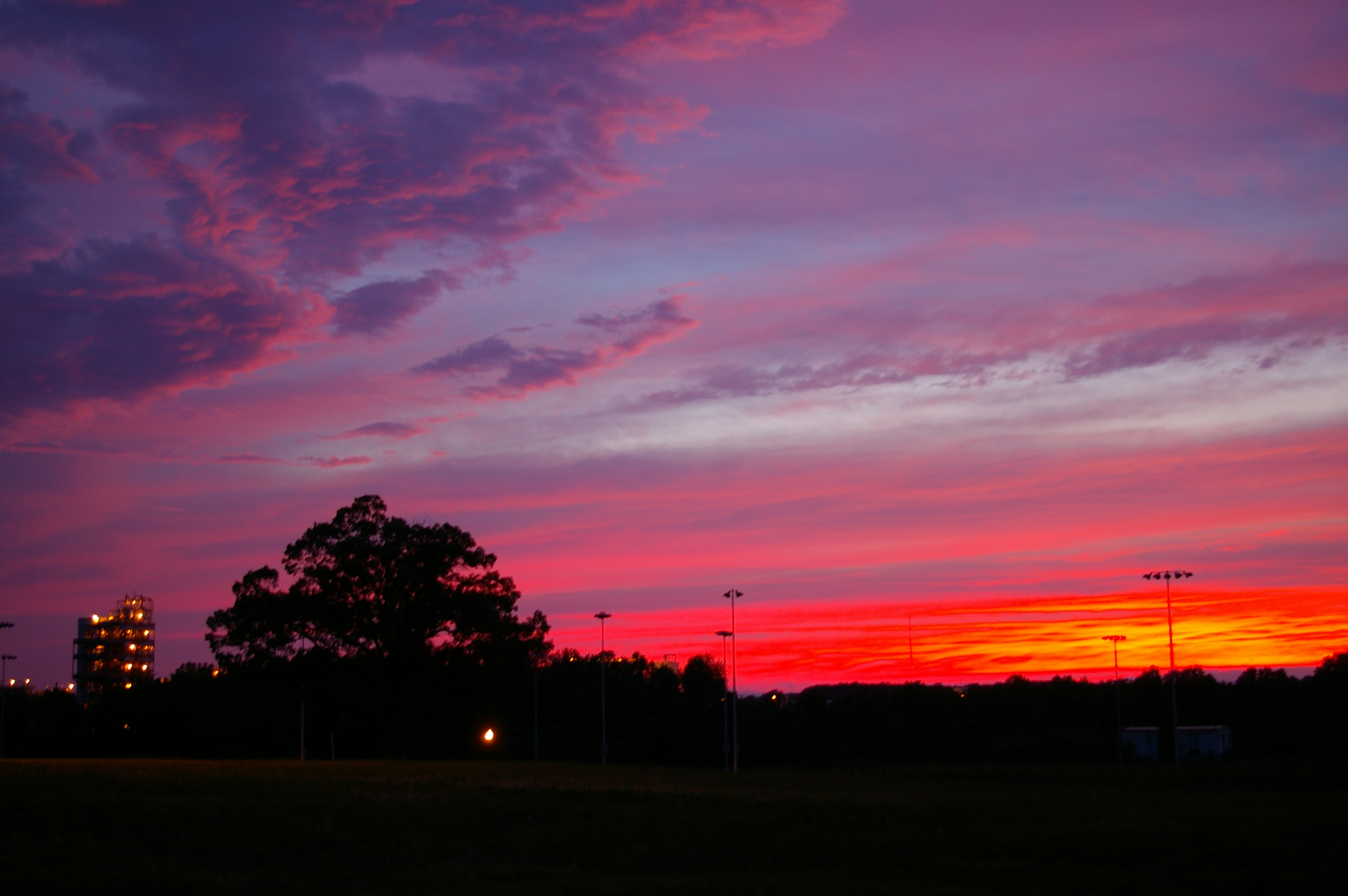
Sundial at Sunset

Cool BMW view at the Spartanburg museum
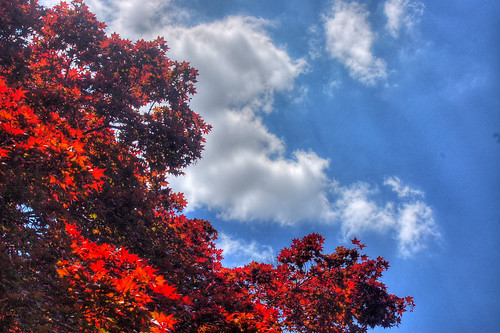
Red, White, and Blue

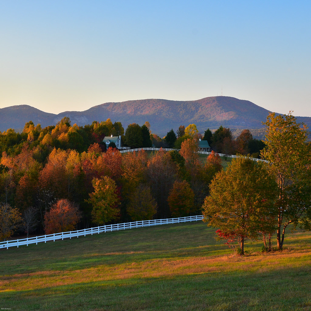
Autumn Mnt View with Glasses
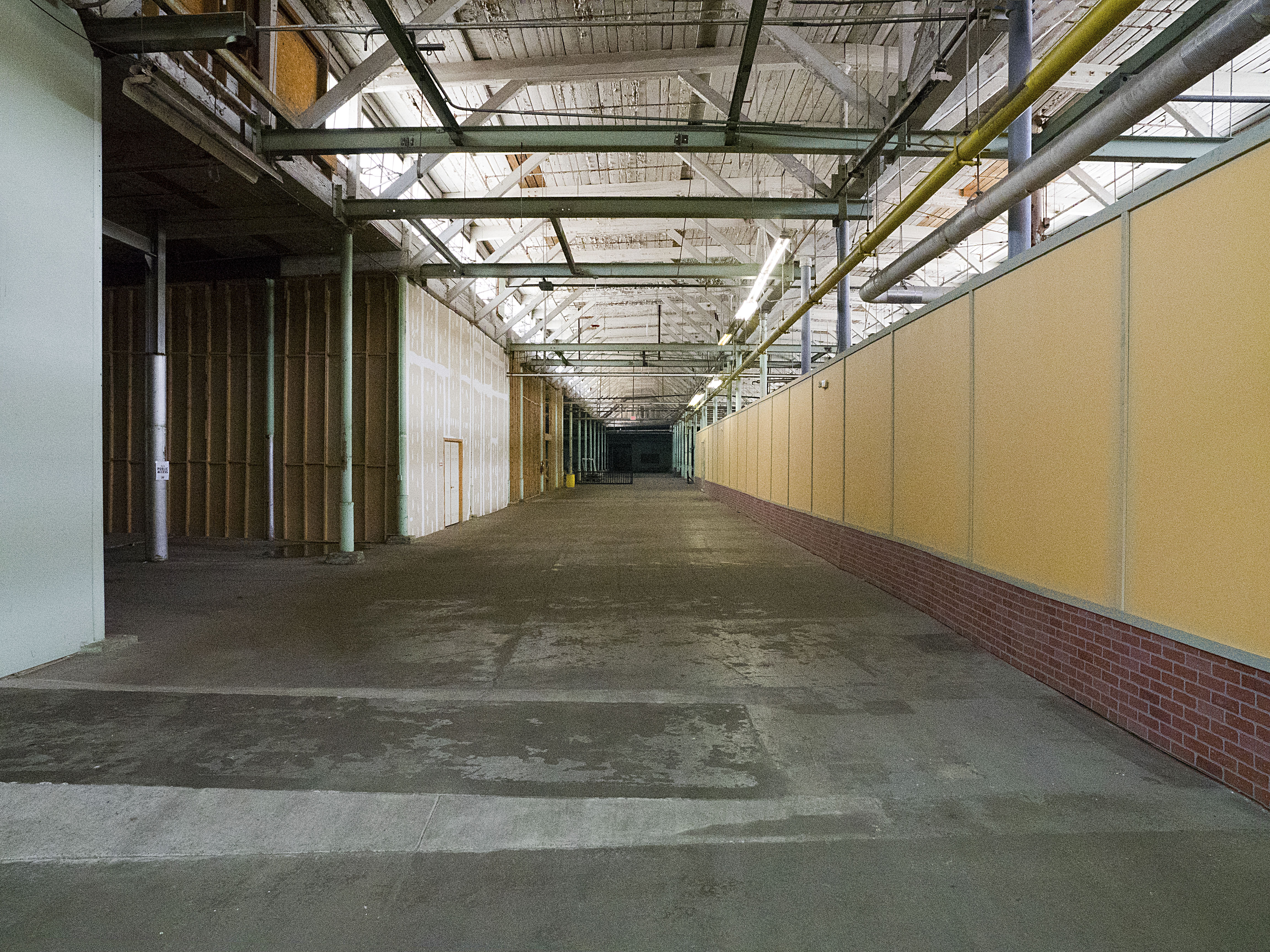
Taylors Mill Interior 4

sunset sundial

The Hayloft Cottage
Bursting with Red

Crape Myrtle
RHI Snow Day

Lavender Nights at Lyman Lake

The Grainary Cottage
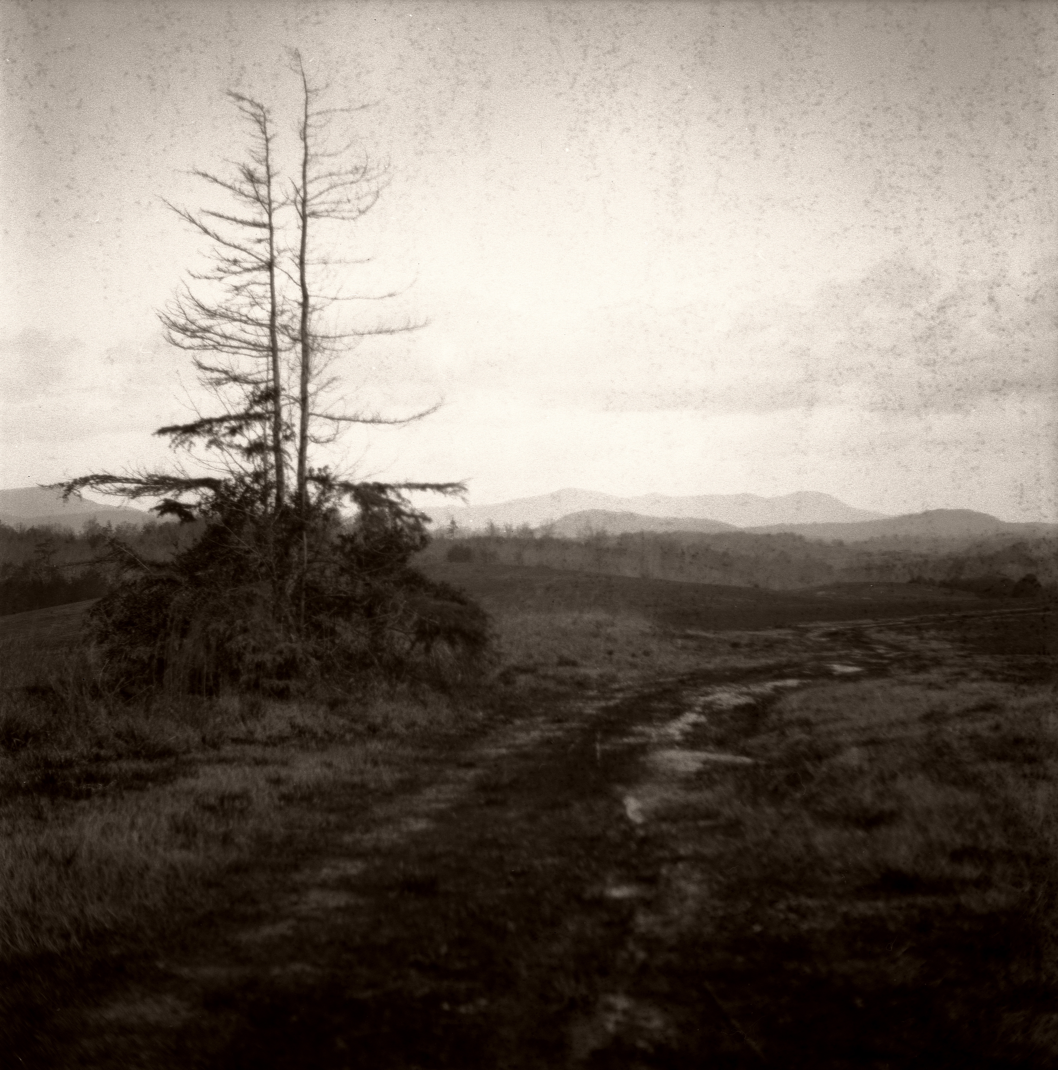
An Imperfect Recollection

Frey Creek Falls - 11
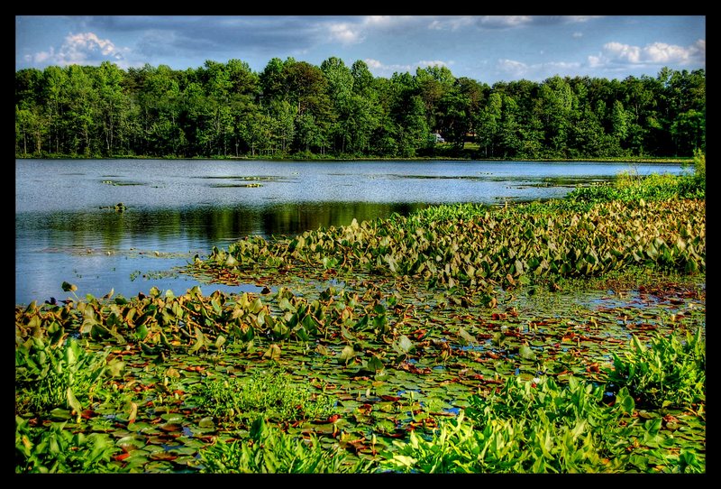
Berry Mills pond

Lake Robinson on a foggy, January morning

september evening hayloft with mountain
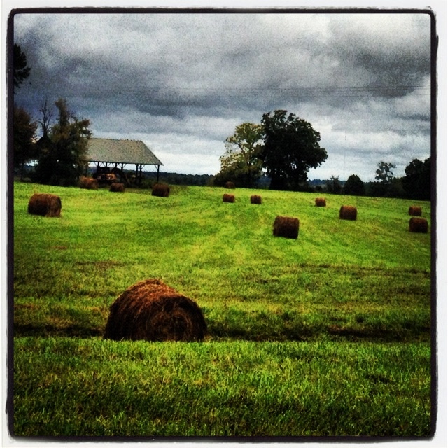
Fall Pasture

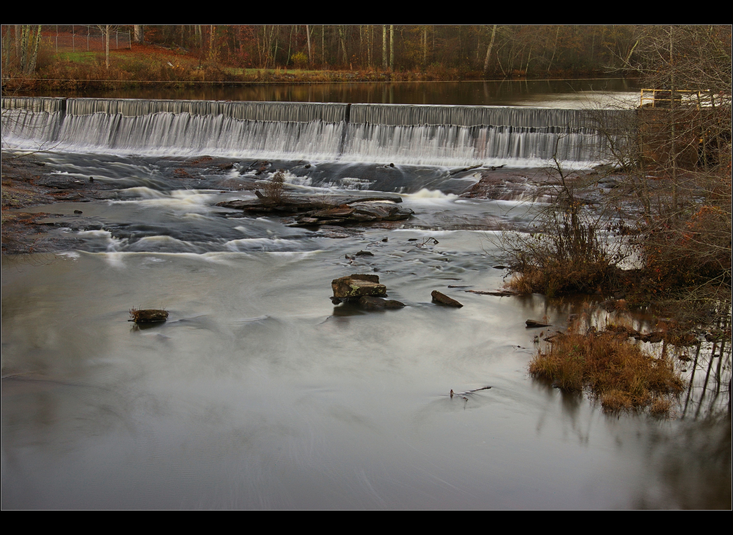
Taylors Mill Dam Falls, Taylors SC
2012-09-18 14.31.12

2012-09-18 14.32.51
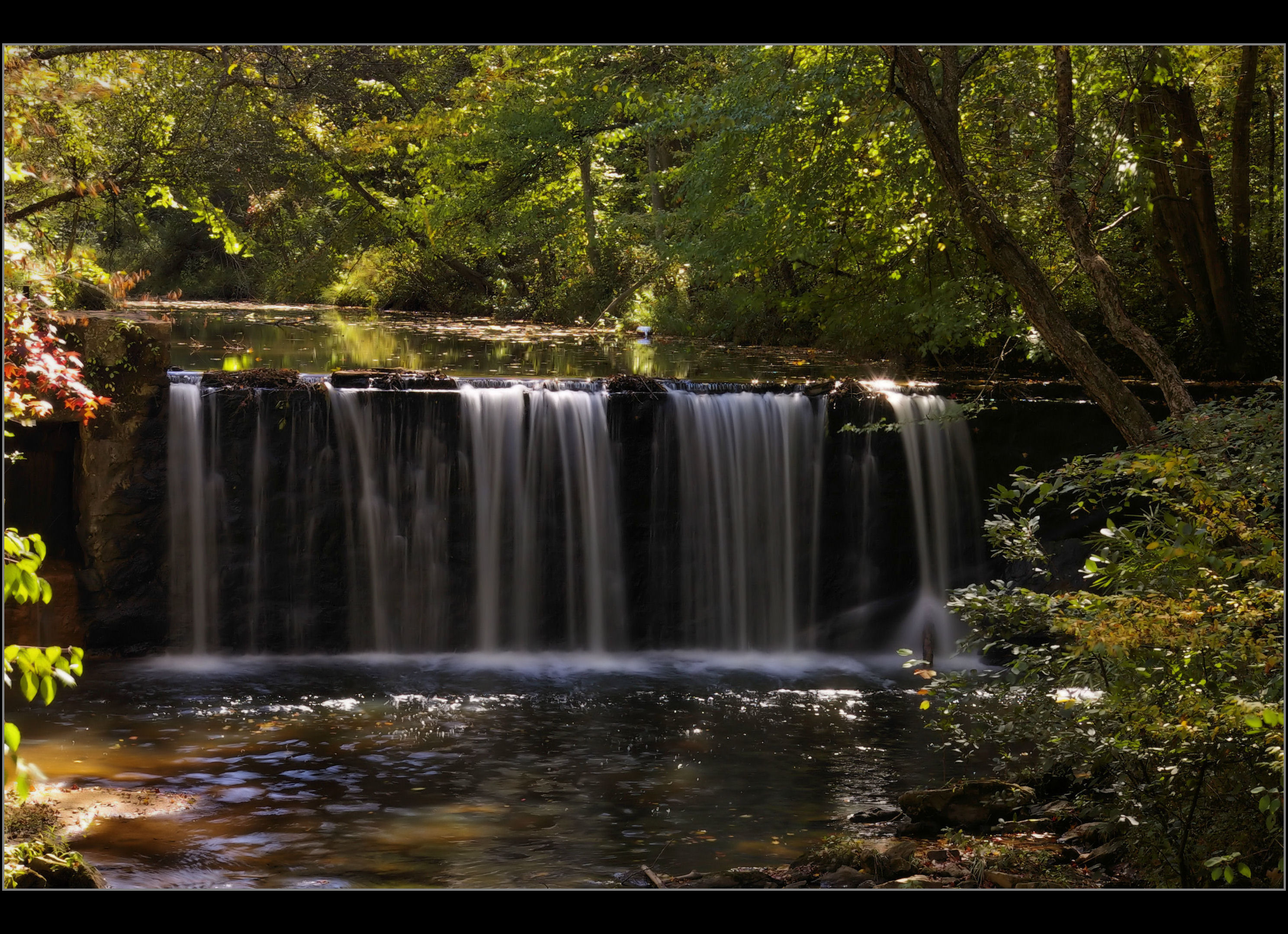
Front View of Taylors Mill Dam Falls, Taylors SC

Berry Shoals * (Explore 11/8/2014)
Day at the Lake
Middle Tiger River Falls
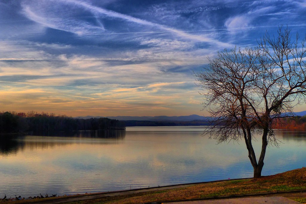
Lake Robinson with Tree
Day at the Lake 5
As you can plainly see today was lovely in the #upstatesc area #yeahthatgreenville #greersc #greersouthcarolina #southcarolina #home #life365 #beautifulday #prettyday #365days #february4th2016 #february2016 #springlike #springlikeweather #photographybyjod

Trip'n Clouds
Topographic Map of SC-, Lyman, SC, USA
Find elevation by address:

Places near SC-, Lyman, SC, USA:
100 Circle Dr
SC-, Lyman, SC, USA
371 Shadow Ln
279 State Rd S-42-2762
East Gap Creek Road
381 Granny Doris Blvd
151 Gramling School Rd
595 Stone Rd
Cannon Rd, Greer, SC, USA
5981 Sc-357
4223 Jordan Rd
173 Settle Dr
1121 Wingo Rd
321 State Rd S-42-371
190 State Rd S-42-2314
Inman
271 State Rd S-42-2314
255 Scenic Ave
355 Campobello-gramling School Rd
Johnson Hills Drive
Recent Searches:
- Elevation of Groblershoop, South Africa
- Elevation of Power Generation Enterprises | Industrial Diesel Generators, Oak Ave, Canyon Country, CA, USA
- Elevation of Chesaw Rd, Oroville, WA, USA
- Elevation of N, Mt Pleasant, UT, USA
- Elevation of 6 Rue Jules Ferry, Beausoleil, France
- Elevation of Sattva Horizon, 4JC6+G9P, Vinayak Nagar, Kattigenahalli, Bengaluru, Karnataka, India
- Elevation of Great Brook Sports, Gold Star Hwy, Groton, CT, USA
- Elevation of 10 Mountain Laurels Dr, Nashua, NH, USA
- Elevation of 16 Gilboa Ln, Nashua, NH, USA
- Elevation of Laurel Rd, Townsend, TN, USA