Elevation of SC-, Conway, SC, USA
Location: United States > South Carolina > Horry County > Conway >
Longitude: -79.022081
Latitude: 33.8480295
Elevation: 11m / 36feet
Barometric Pressure: 101KPa
Elevation Map:
Satellite Map:
Related Photos:

D800E-4017-Edit

DSC_5172 (Copy)

D800E-4061-Edit

D800E-3991-Edit
D800E-4053-Edit
D800E-4032-Edit

P1070006.jpg

LK_20141112_0024-Edit

P1080871.jpg

D800E-4010-Edit

D800E-4057-Edit
D800E-4034-Edit

D800E-4016-Edit

Sunset at tail end of storm.
P1130036.jpg

D800E-4063-Edit

D800E-4037-Edit

P1070015.jpg

D800E-4014-Edit
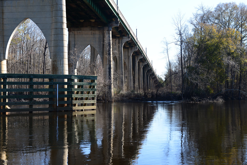
River Walk
D800E-4031
Topographic Map of SC-, Conway, SC, USA
Find elevation by address:

Places near SC-, Conway, SC, USA:
SC-, Conway, SC, USA
Sellers Road
208 Glass Hill Dr
500 Sc-905
551 Sc-905
203 Jessamine St
300 Sc-905
300 Sc-905
1214 Lakeland Dr
Lakeland Drive
200 Sherwood Dr
400 Tolar Ln
Long Avenue
Crabtree Swamp Walking Trail
152 Sherwood Dr
Busbee Street
205 Sherwood Dr
210 Magrath Ave
104 Country Club Dr
207 Busbee St
Recent Searches:
- Elevation of Luther Road, Luther Rd, Auburn, CA, USA
- Elevation of Unnamed Road, Respublika Severnaya Osetiya — Alaniya, Russia
- Elevation of Verkhny Fiagdon, North Ossetia–Alania Republic, Russia
- Elevation of F. Viola Hiway, San Rafael, Bulacan, Philippines
- Elevation of Herbage Dr, Gulfport, MS, USA
- Elevation of Lilac Cir, Haldimand, ON N3W 2G9, Canada
- Elevation of Harrod Branch Road, Harrod Branch Rd, Kentucky, USA
- Elevation of Wyndham Grand Barbados Sam Lords Castle All Inclusive Resort, End of Belair Road, Long Bay, Bridgetown Barbados
- Elevation of Iga Trl, Maggie Valley, NC, USA
- Elevation of N Co Rd 31D, Loveland, CO, USA