Elevation of SC-56, Enoree, SC, USA
Location: United States > South Carolina > Spartanburg County > Enoree >
Longitude: -81.857547
Latitude: 34.6423289
Elevation: 208m / 682feet
Barometric Pressure: 99KPa
Elevation Map:
Satellite Map:
Related Photos:
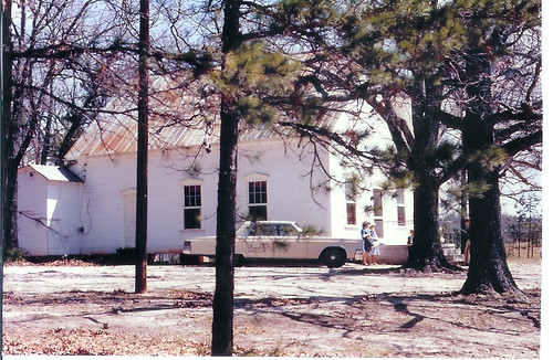
Long Branch Pentecostal Holiness Church
Cross Anchor House
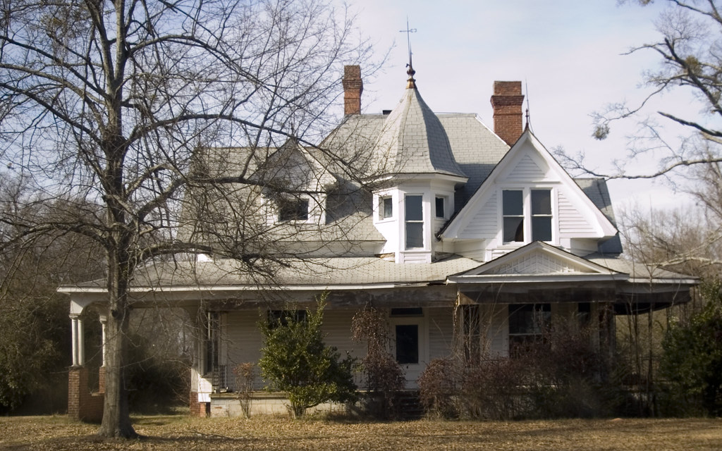
Cross Anchor House 2

1842 Church sanctuary front view

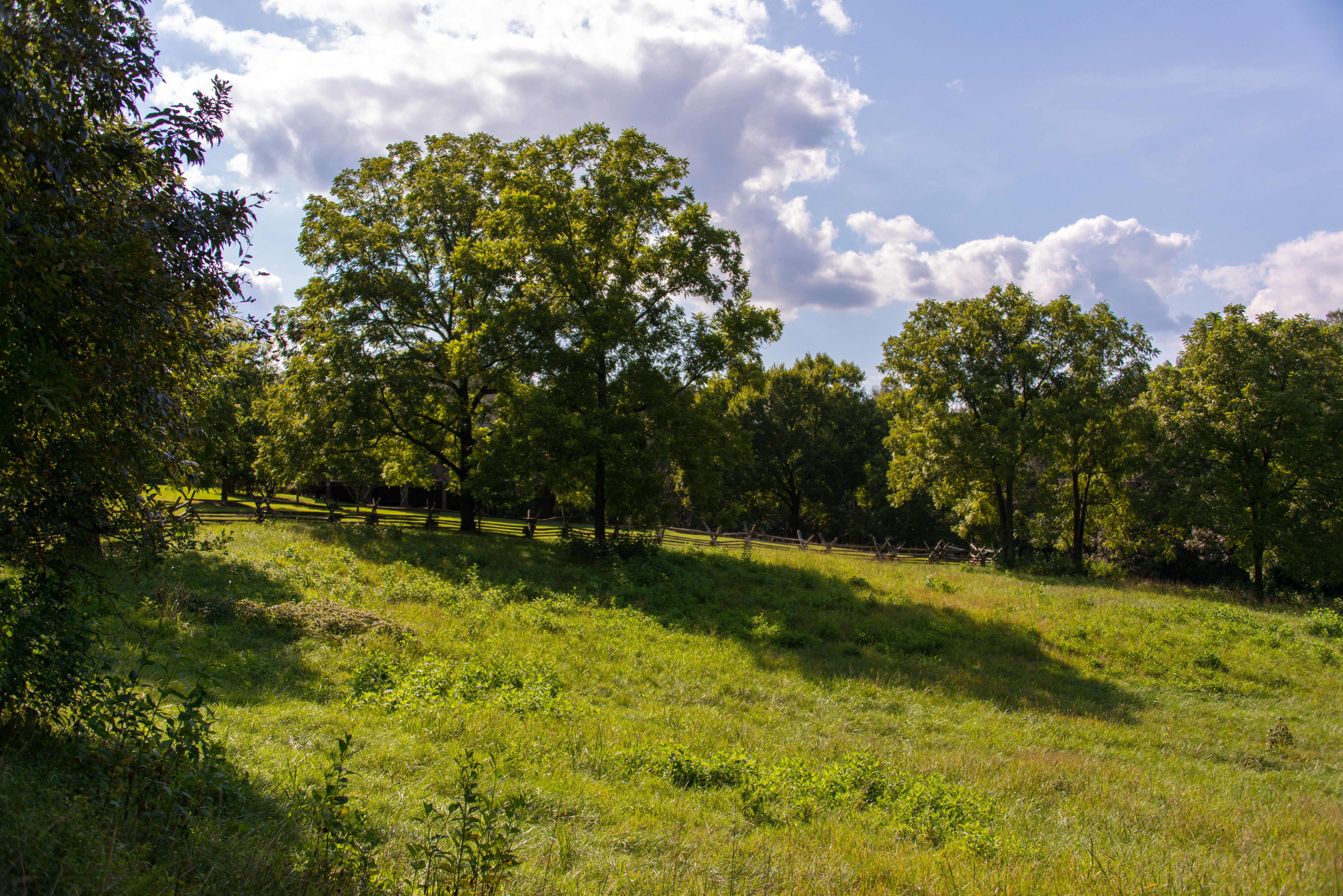
Split Rail at Blackstock
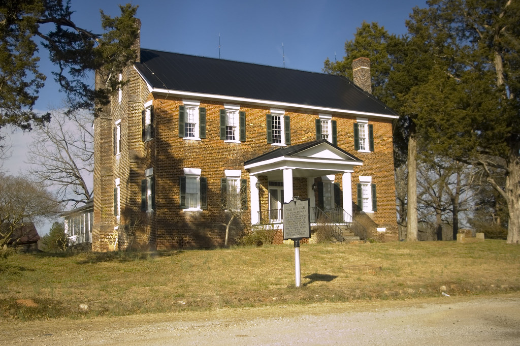
Cross Keys House
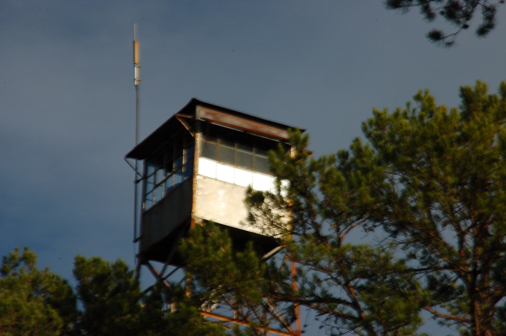
Hobbyville Tower Cab
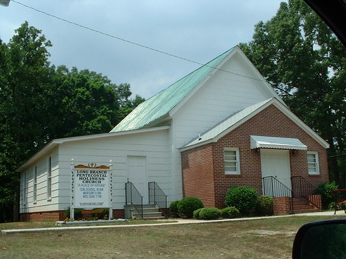
Long Branch Pentecostal Holiness Church
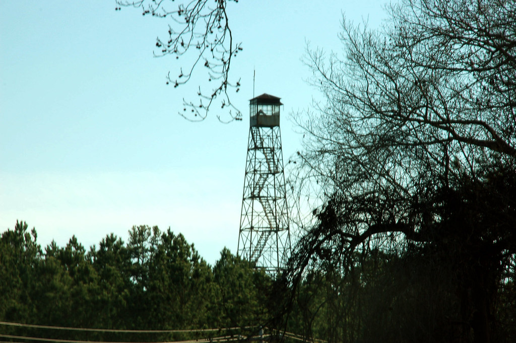
Hobbyville Tower 1
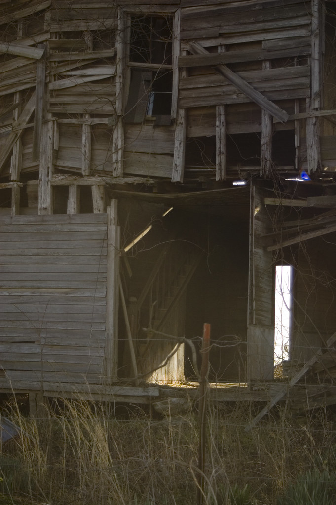
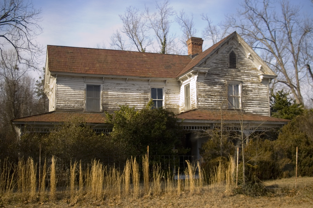
Dilapidated house and stairs
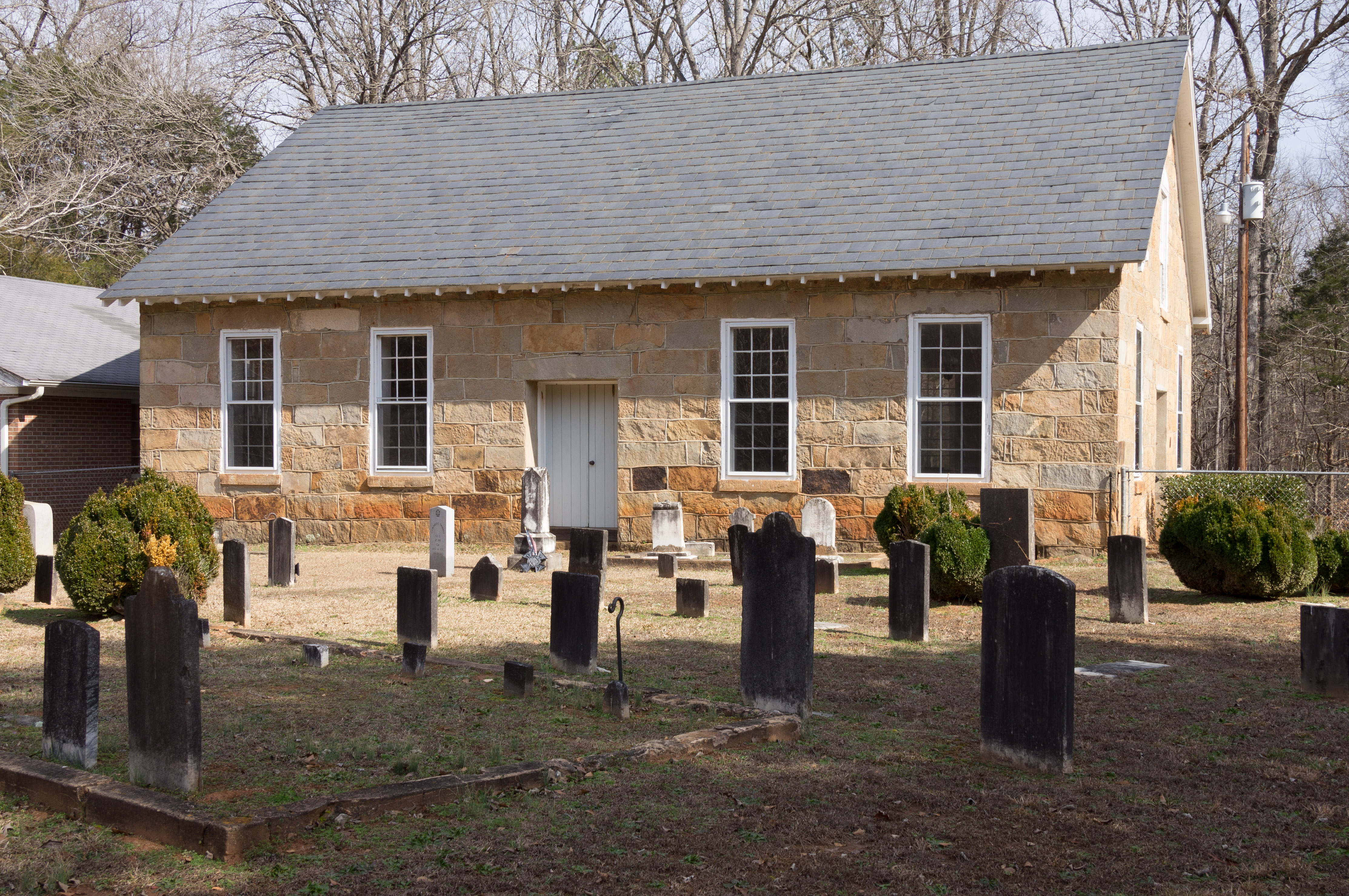
1842 church sanctuary - side view
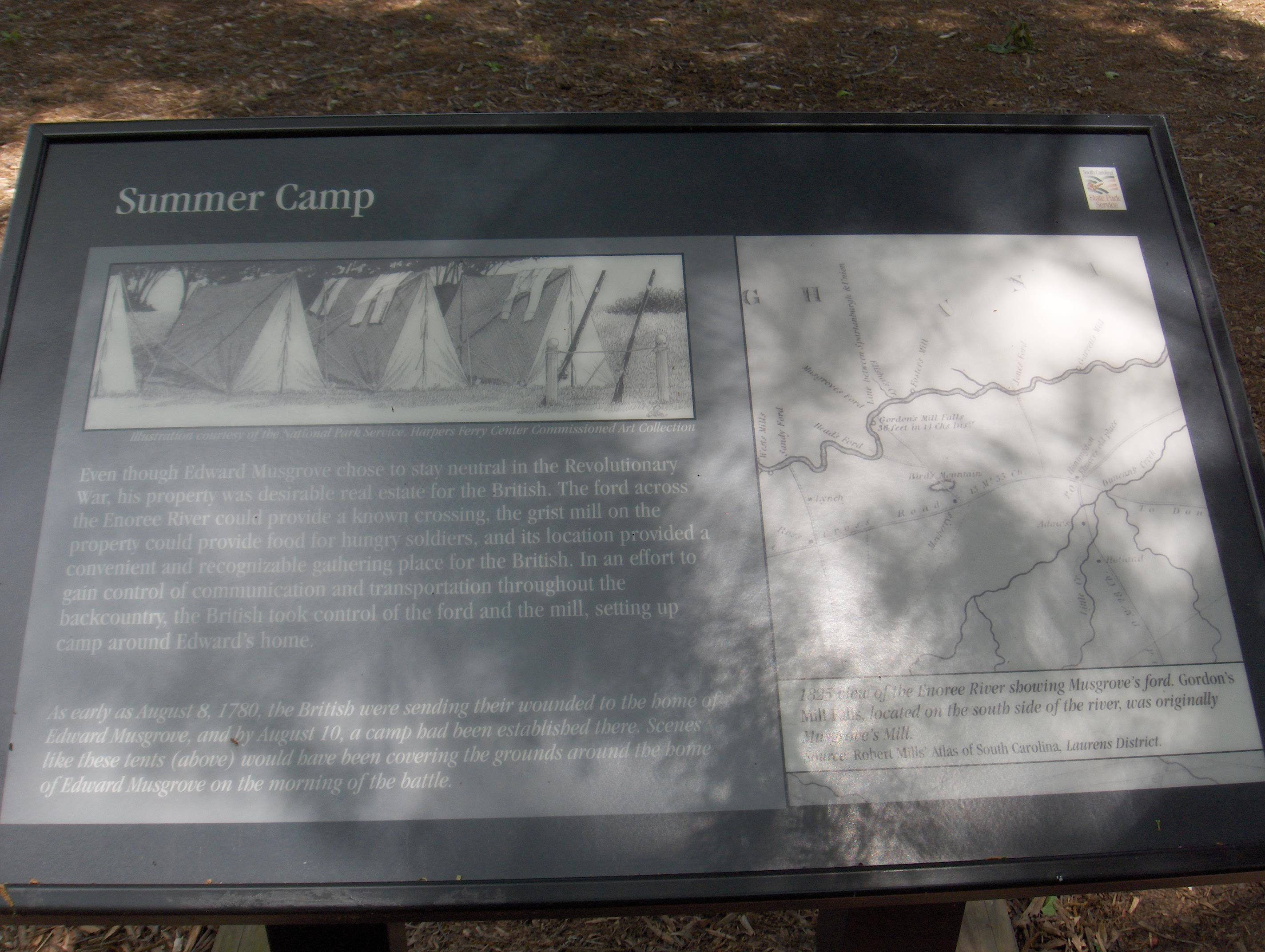
989 Summer Camp Img_3091

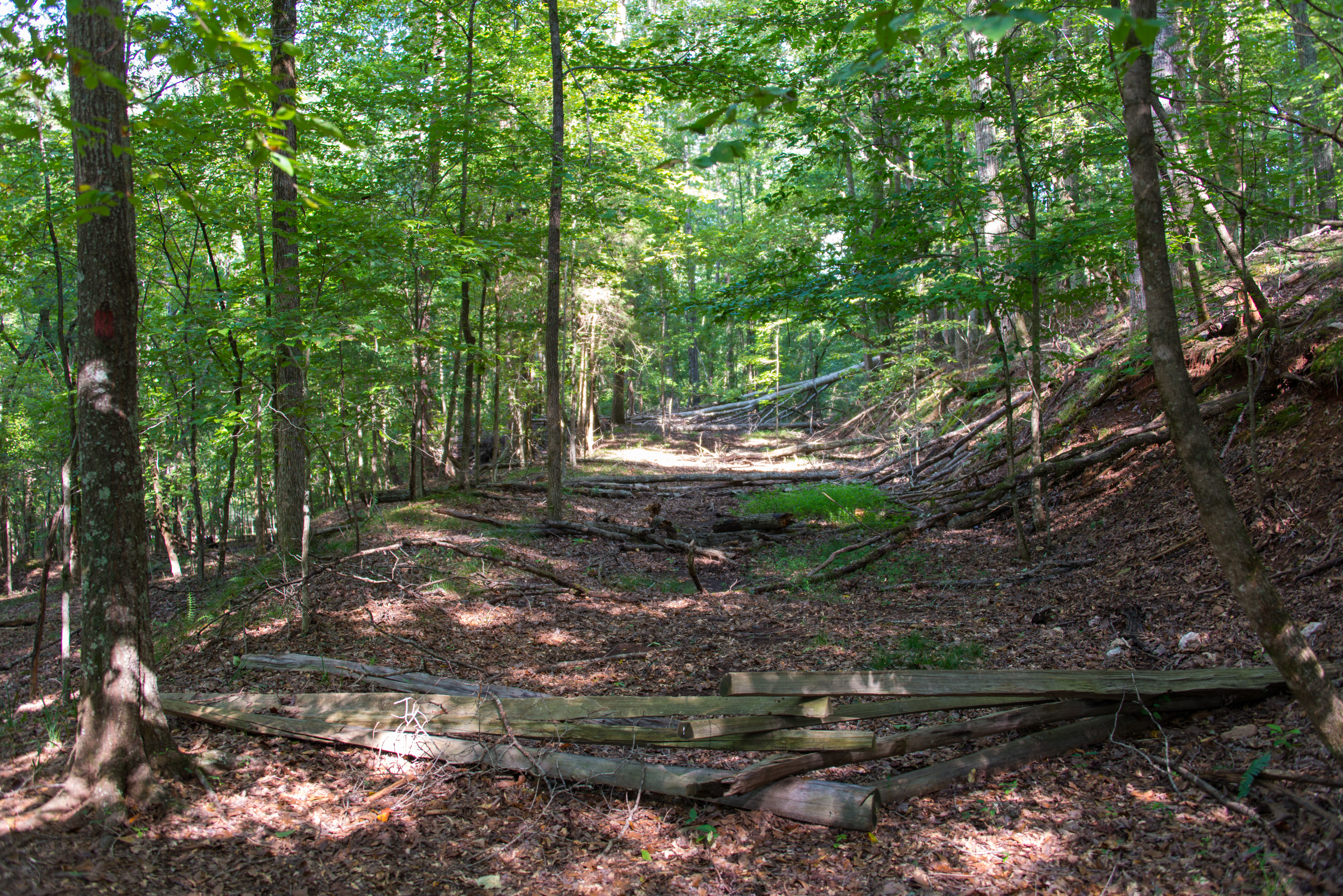
Blackstock Battleground
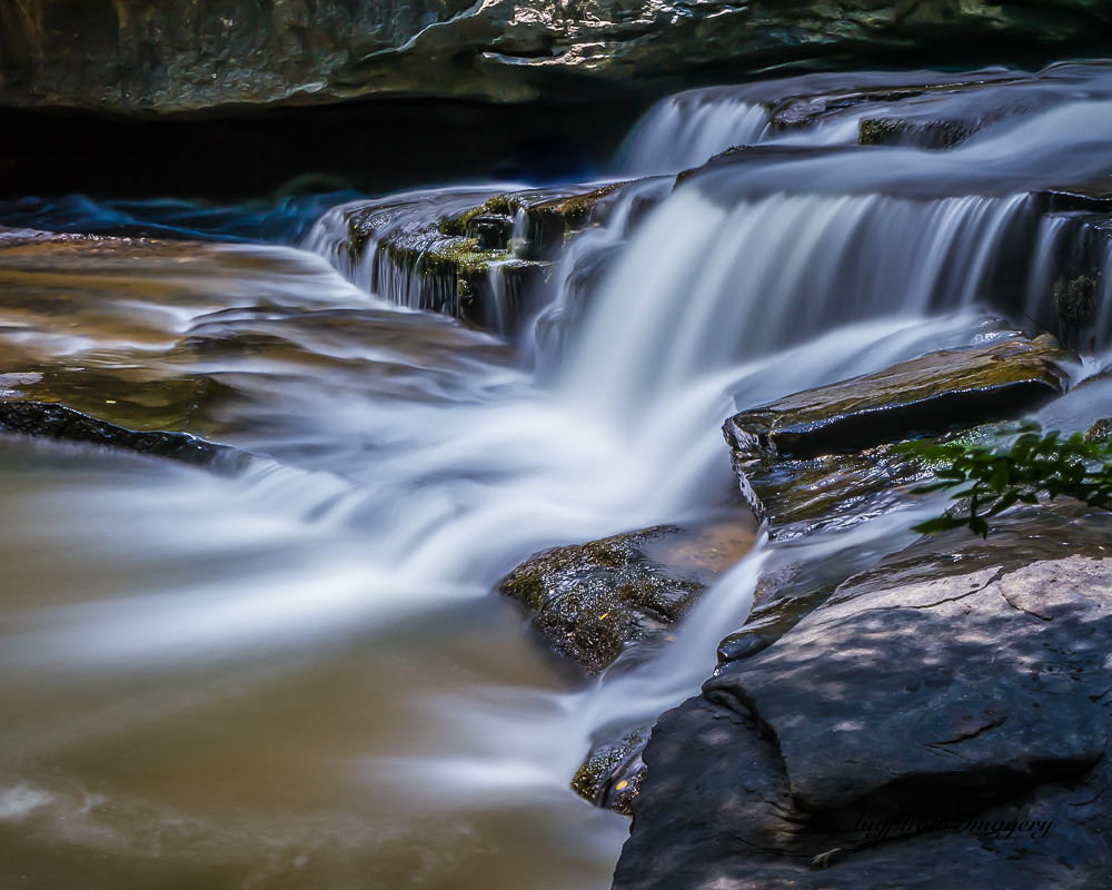
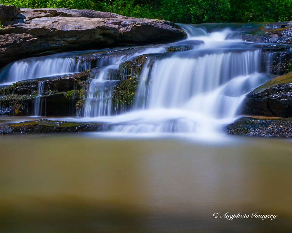
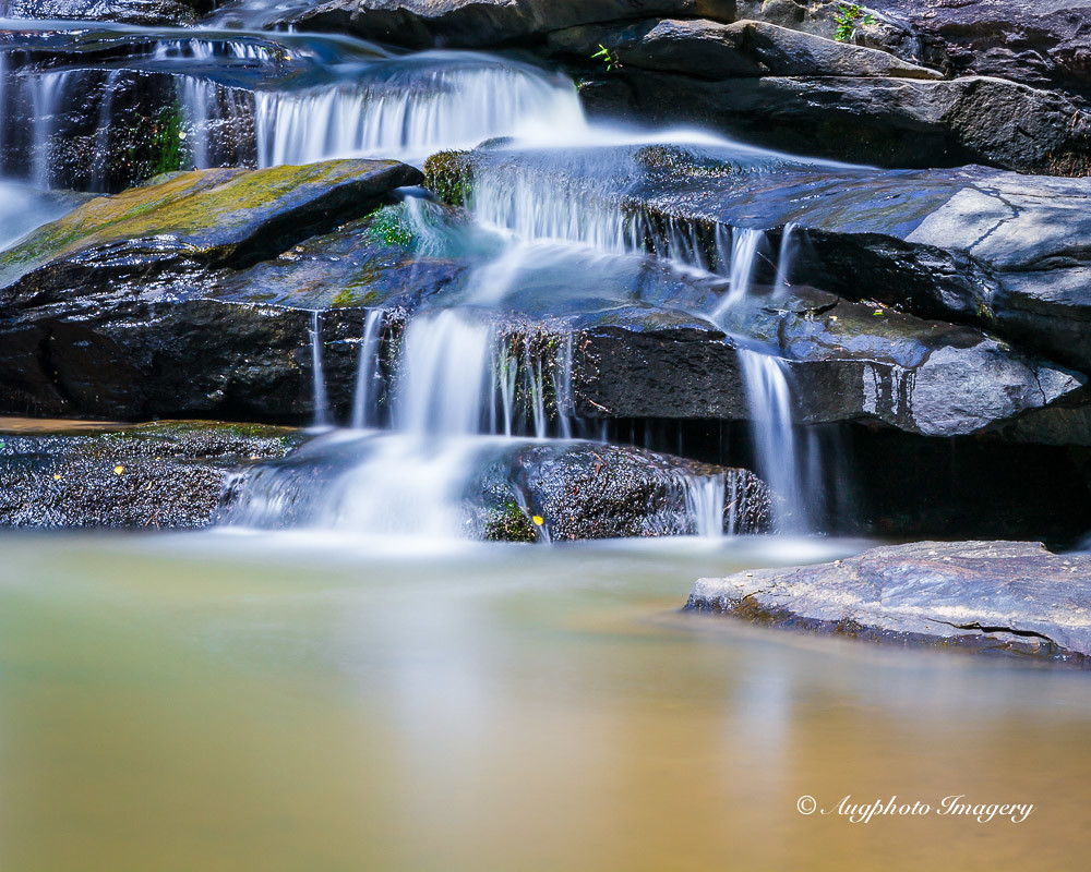
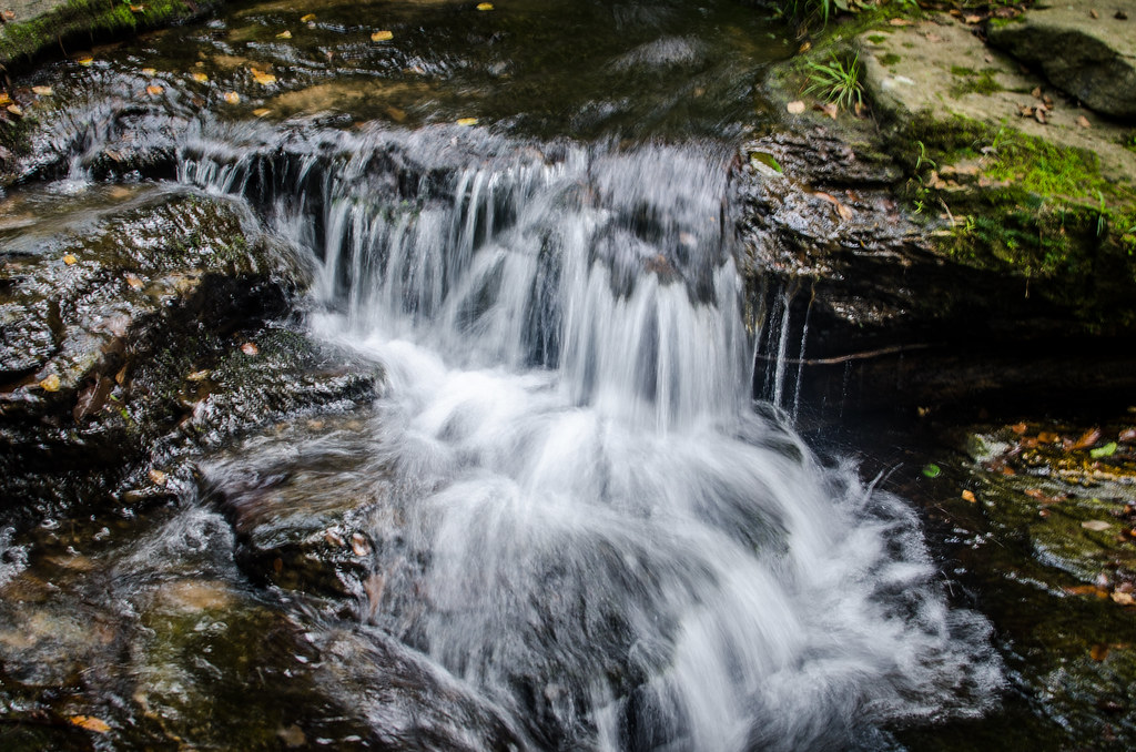
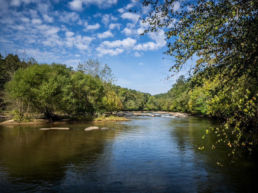
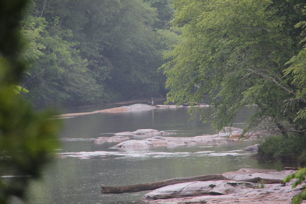
Horseshoe Falls
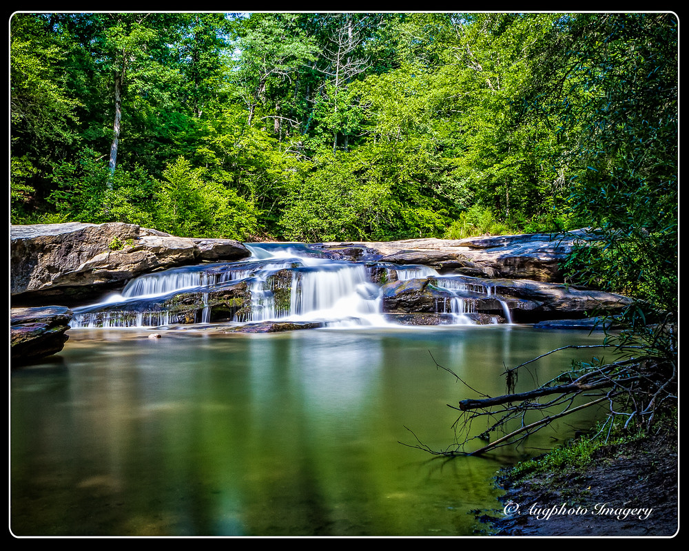
130825-4979 Musgrove Mill
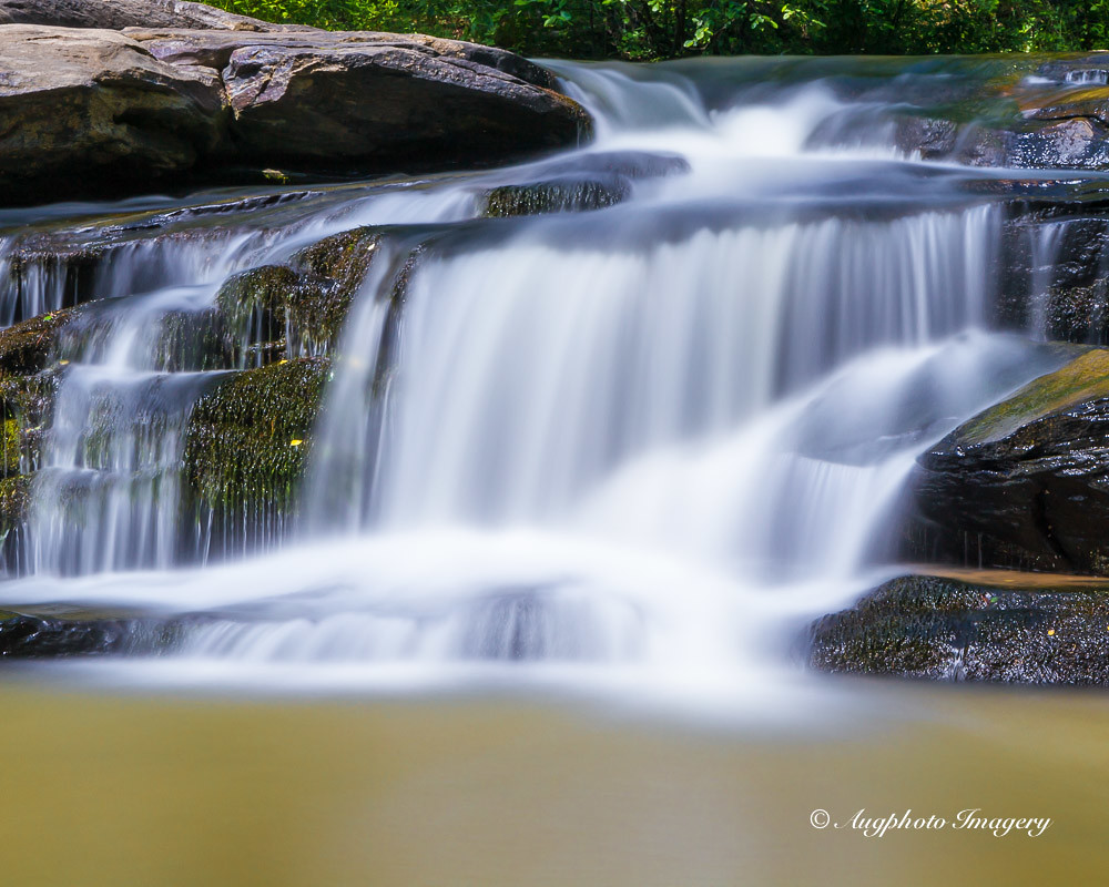
Beautiful Horseshoe Falls
One More Step
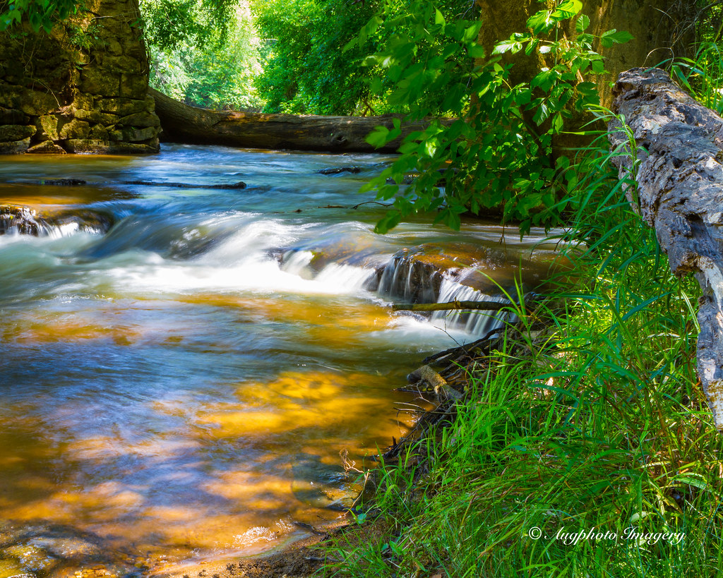
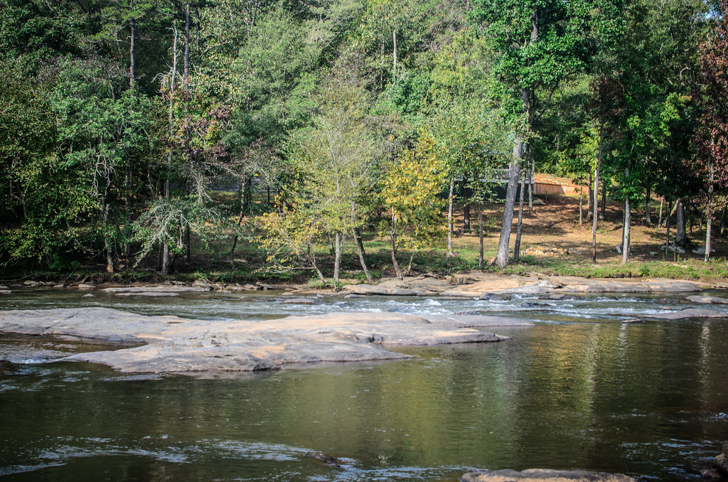
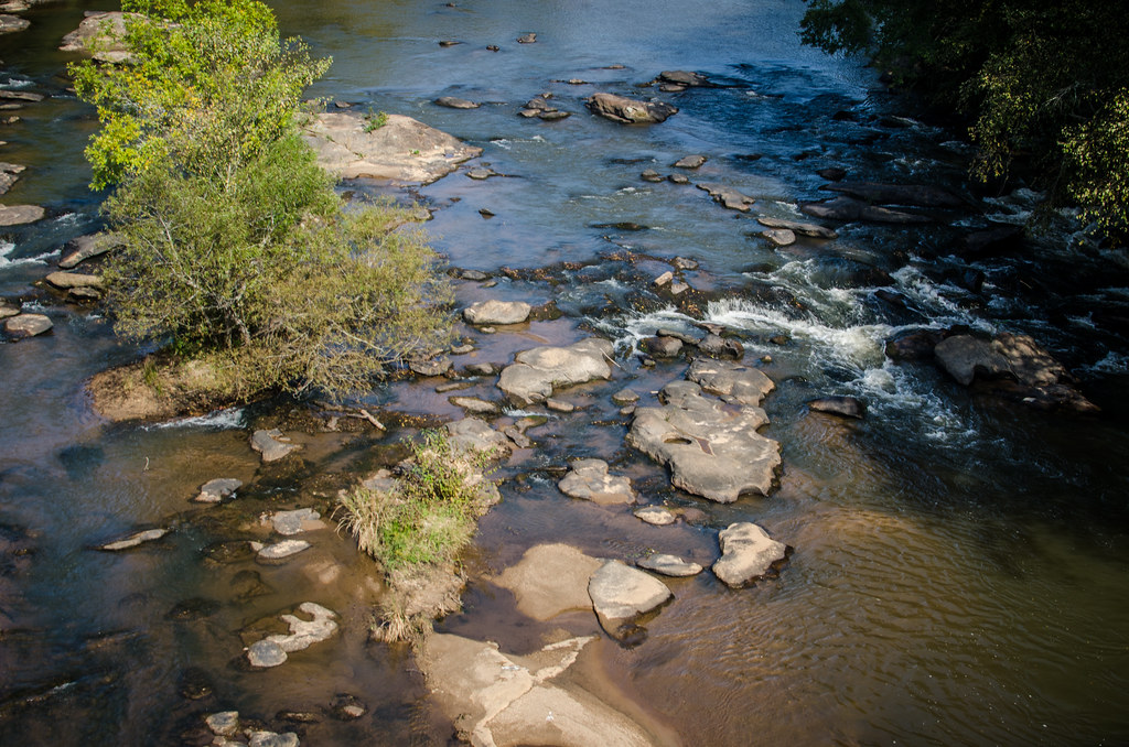
Along the Bank
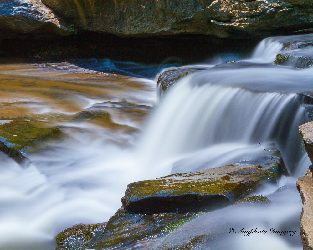
The Ledge of Time
To the Pool
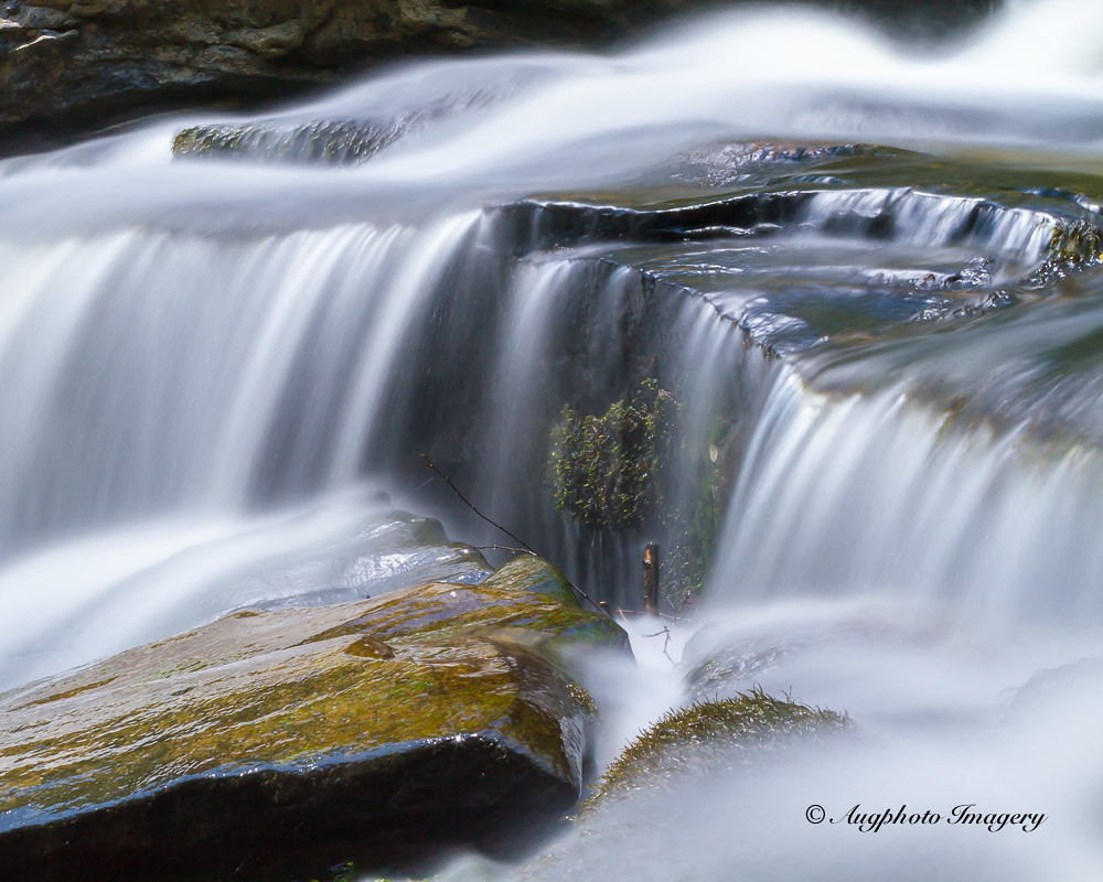
Watered Rock
130825-4974 Musgrove Mill
Cool Green
Tyger-014

Horseshoe Falls-009
Tyger-022
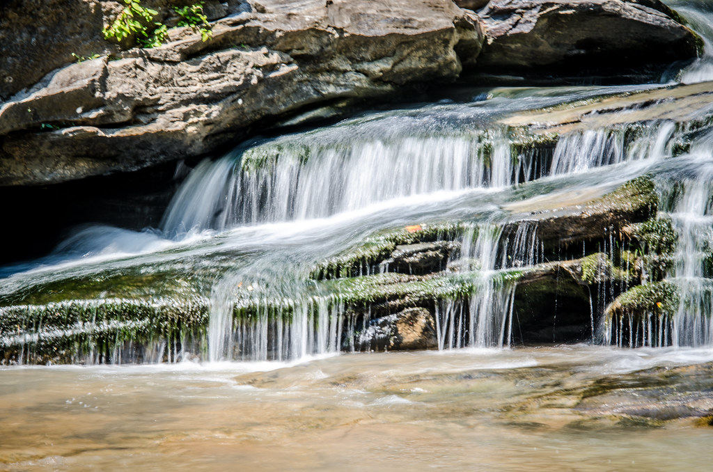
Horseshoe Falls-008
2012-06-10-13-08-28_CF0642C7-14F1-4483-B081-C4FF3AD9A56E
Tyger-020
Cross Hill Field
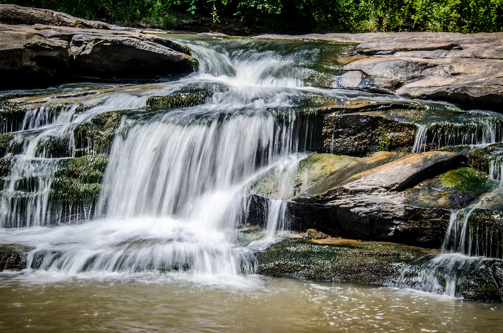
Horseshoe Falls-004
Tyger-018
2012-06-10-14-09-04_95116A9B-46D0-4D55-AF09-3633CFF0D32D

Tyger-024
Topographic Map of SC-56, Enoree, SC, USA
Find elevation by address:

Places near SC-56, Enoree, SC, USA:
Rocky Ridge Road
250 State Rd S-42-416
340 Lynch Rd
311 State Rd S-42-343
15171 Sc-56
SC-56, Pauline, SC, USA
The Clinton House Plantation
15171 Sc-56
Enoree
27228 Us-221
225 Evins Rd
5620 Sc-56
SC-56, Clinton, SC, USA
3985 Sc-56
Clinton
Buffalo, SC, USA
332 Bobo St
110 Tribble St
Presbyterian College
Pauline
Recent Searches:
- Elevation of W Granada St, Tampa, FL, USA
- Elevation of Pykes Down, Ivybridge PL21 0BY, UK
- Elevation of Jalan Senandin, Lutong, Miri, Sarawak, Malaysia
- Elevation of Bilohirs'k
- Elevation of 30 Oak Lawn Dr, Barkhamsted, CT, USA
- Elevation of Luther Road, Luther Rd, Auburn, CA, USA
- Elevation of Unnamed Road, Respublika Severnaya Osetiya — Alaniya, Russia
- Elevation of Verkhny Fiagdon, North Ossetia–Alania Republic, Russia
- Elevation of F. Viola Hiway, San Rafael, Bulacan, Philippines
- Elevation of Herbage Dr, Gulfport, MS, USA