Elevation of SC-19, Conway, SC, USA
Location: United States > South Carolina > Horry County > Conway >
Longitude: -78.955079
Latitude: 33.9733382
Elevation: 16m / 52feet
Barometric Pressure: 101KPa
Elevation Map:
Satellite Map:
Related Photos:

spring blooms

blue iris

winter stillness

rusty pole

It Lies Beneath
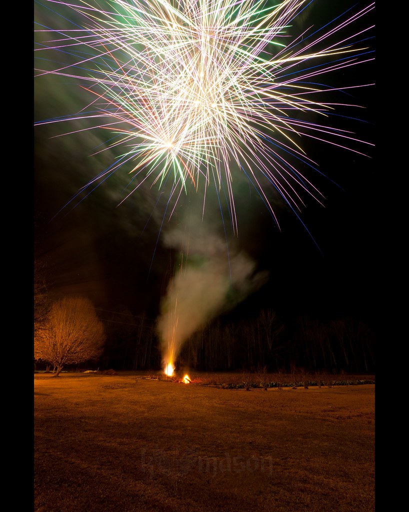
Happy New Year!

Autumn Wildflower 1
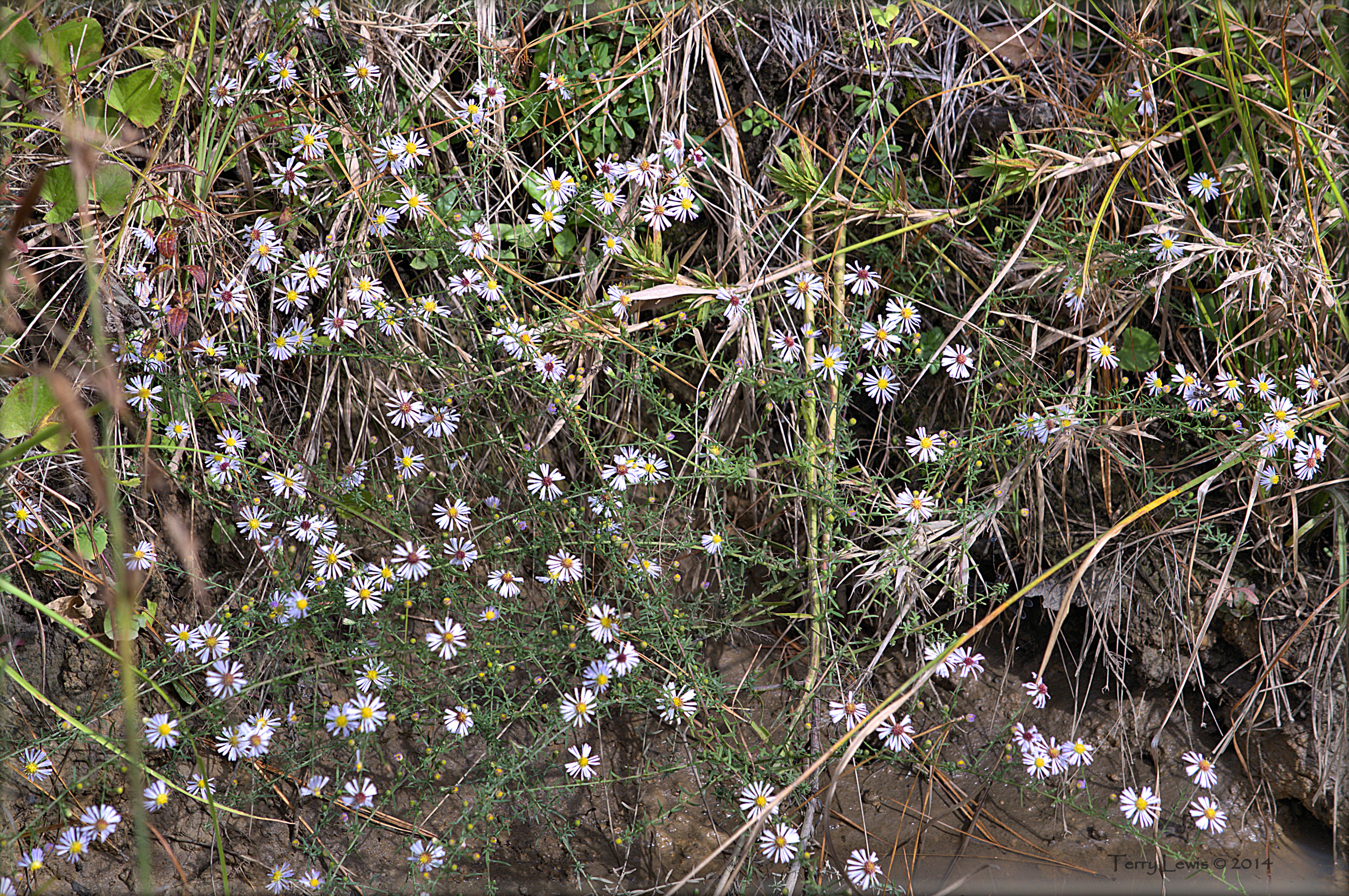
Autumn Wildflower 2

Shattered View

abandoned barn on a starry night

Nose Knows

Sunset at tail end of storm.

Twin City Airport-Runway 8

20160731_162317(0)
Topographic Map of SC-19, Conway, SC, USA
Find elevation by address:

Places near SC-19, Conway, SC, USA:
1424 Porter Ln
3000 Sc-19
881 Gold Rush Ct
6798 Pinehaven Ln
Cane Branch Road
6801 Pinehaven Ln
6801 Pinehaven Ln
6801 Pinehaven Ln
2251 Cane Branch Rd
Mcnabb Short Cut Road
5611 Privetts Rd
5611 Privetts Rd
5611 Privetts Rd
5611 Privetts Rd
7882 Sc-19
Allsbrook Road
Southern Crest Drive
Hucks Rd, Conway, SC, USA
Old Irish Road
3193 Gause Rd
Recent Searches:
- Elevation of Congressional Dr, Stevensville, MD, USA
- Elevation of Bellview Rd, McLean, VA, USA
- Elevation of Stage Island Rd, Chatham, MA, USA
- Elevation of Shibuya Scramble Crossing, 21 Udagawacho, Shibuya City, Tokyo -, Japan
- Elevation of Jadagoniai, Kaunas District Municipality, Lithuania
- Elevation of Pagonija rock, Kranto 7-oji g. 8"N, Kaunas, Lithuania
- Elevation of Co Rd 87, Jamestown, CO, USA
- Elevation of Tenjo, Cundinamarca, Colombia
- Elevation of Côte-des-Neiges, Montreal, QC H4A 3J6, Canada
- Elevation of Bobcat Dr, Helena, MT, USA