Elevation of Saylor Hill Rd, Limestone, TN, USA
Location: United States > Tennessee > Washington County > Limestone >
Longitude: -82.630417
Latitude: 36.298359
Elevation: 512m / 1680feet
Barometric Pressure: 95KPa
Elevation Map:
Satellite Map:
Related Photos:

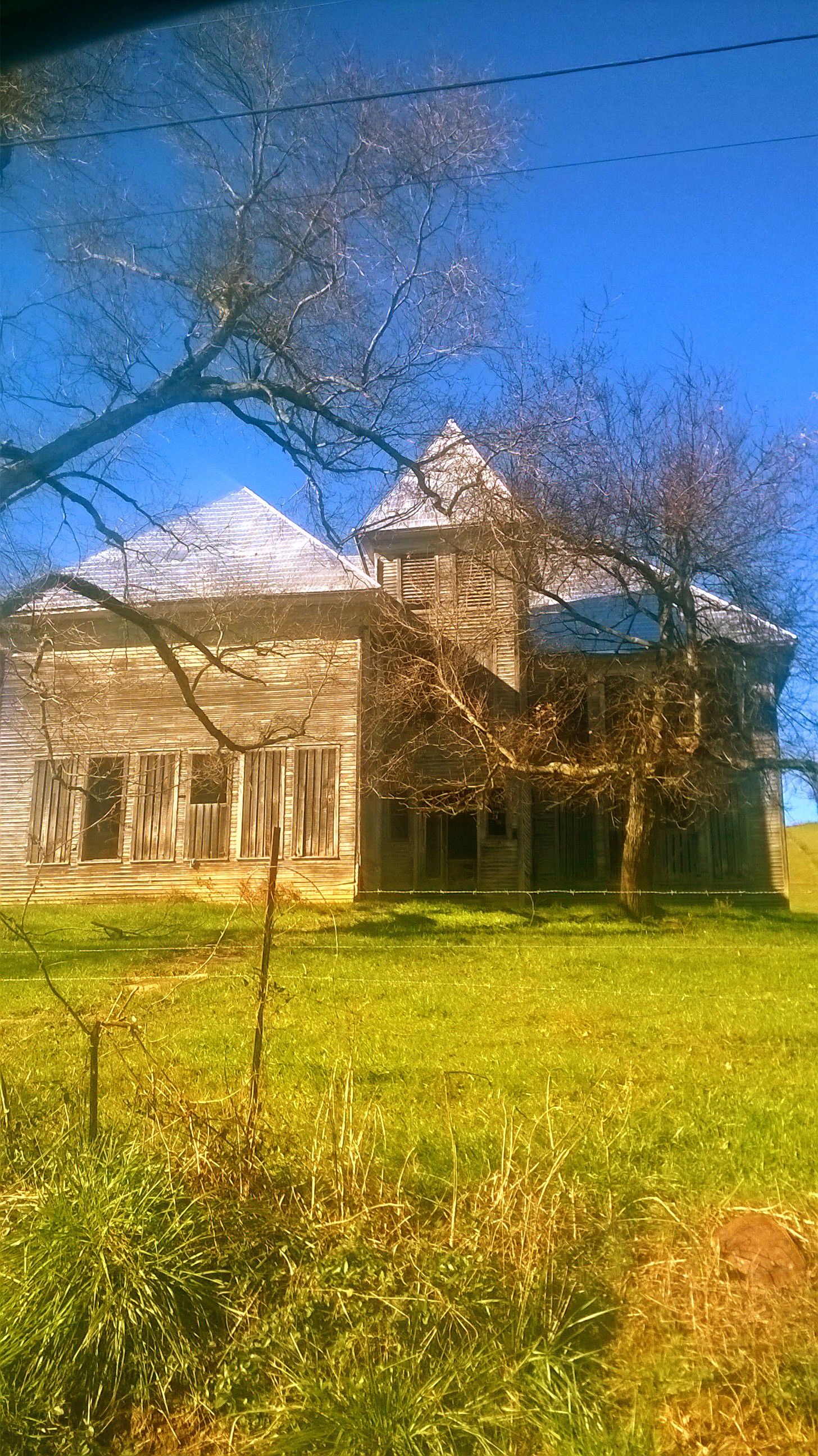
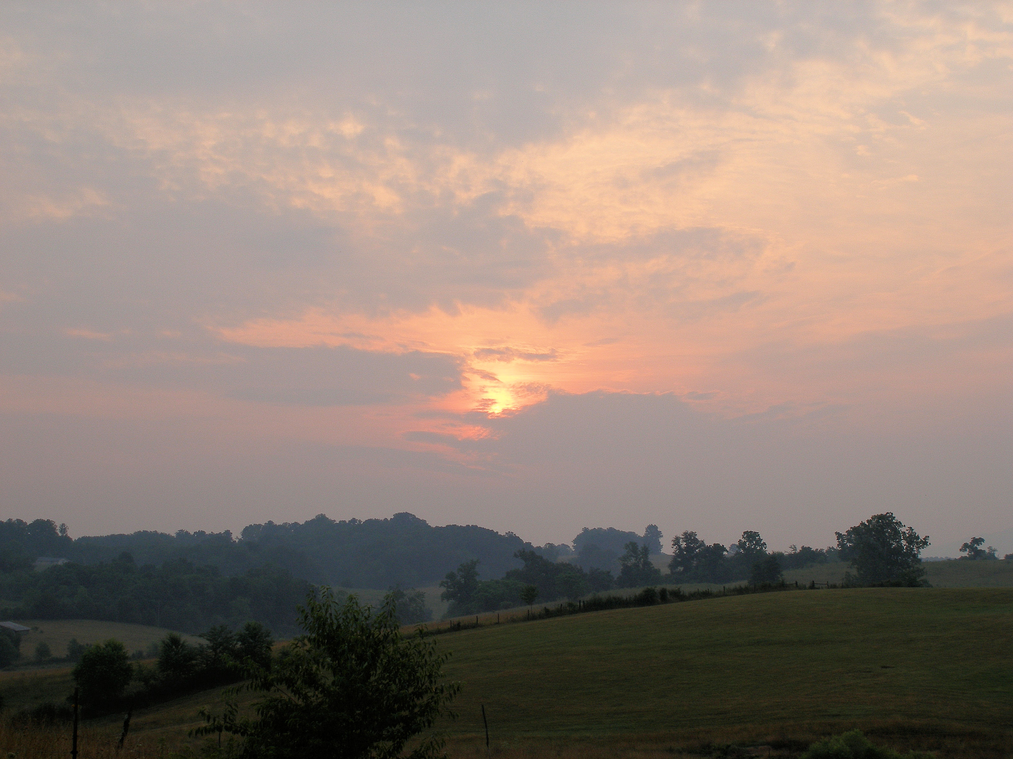
Sun Setting on an Old Homestead

Foggy View.

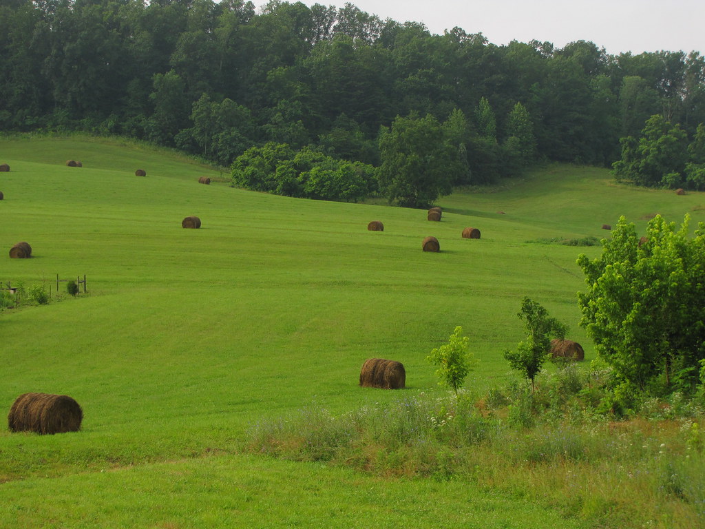
Feild View
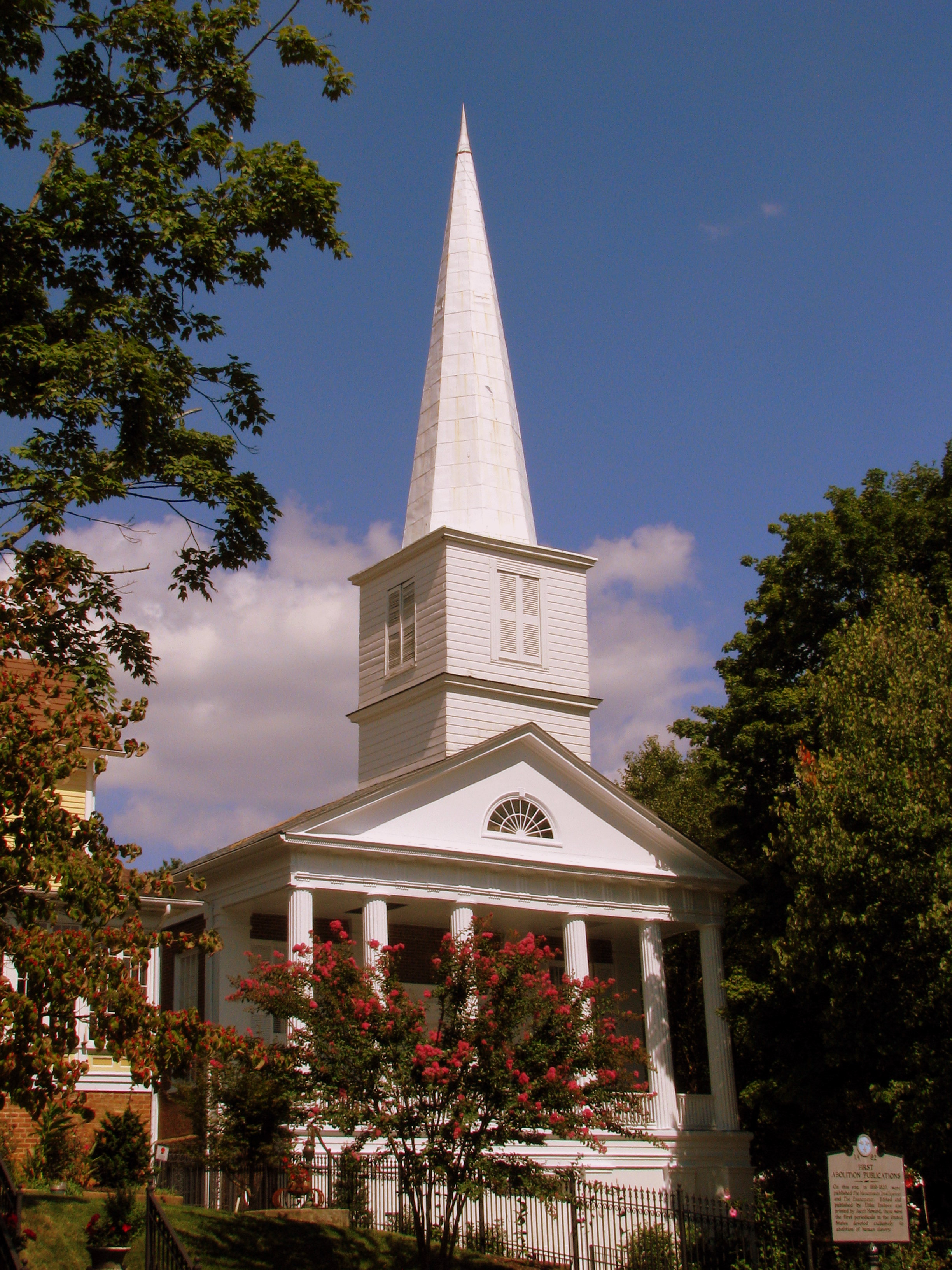
First Presbyterian Church - Jonesborough, TN

Ebenezer Methodist Church
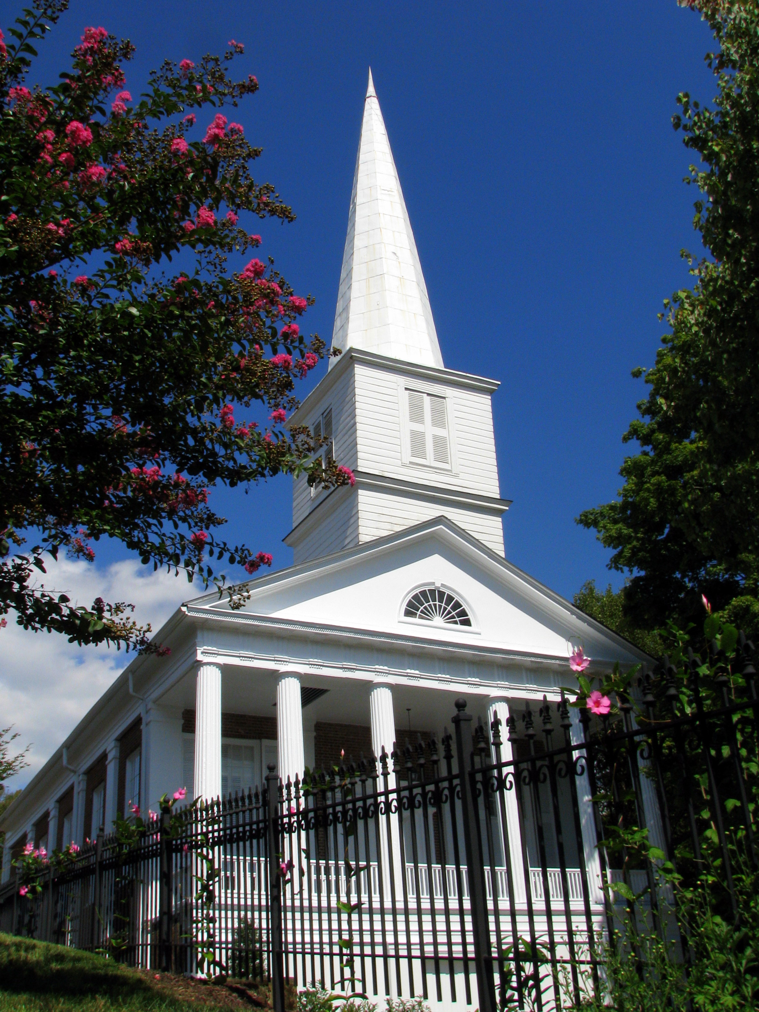
First Presbyterian Church - Jonesborough, TN
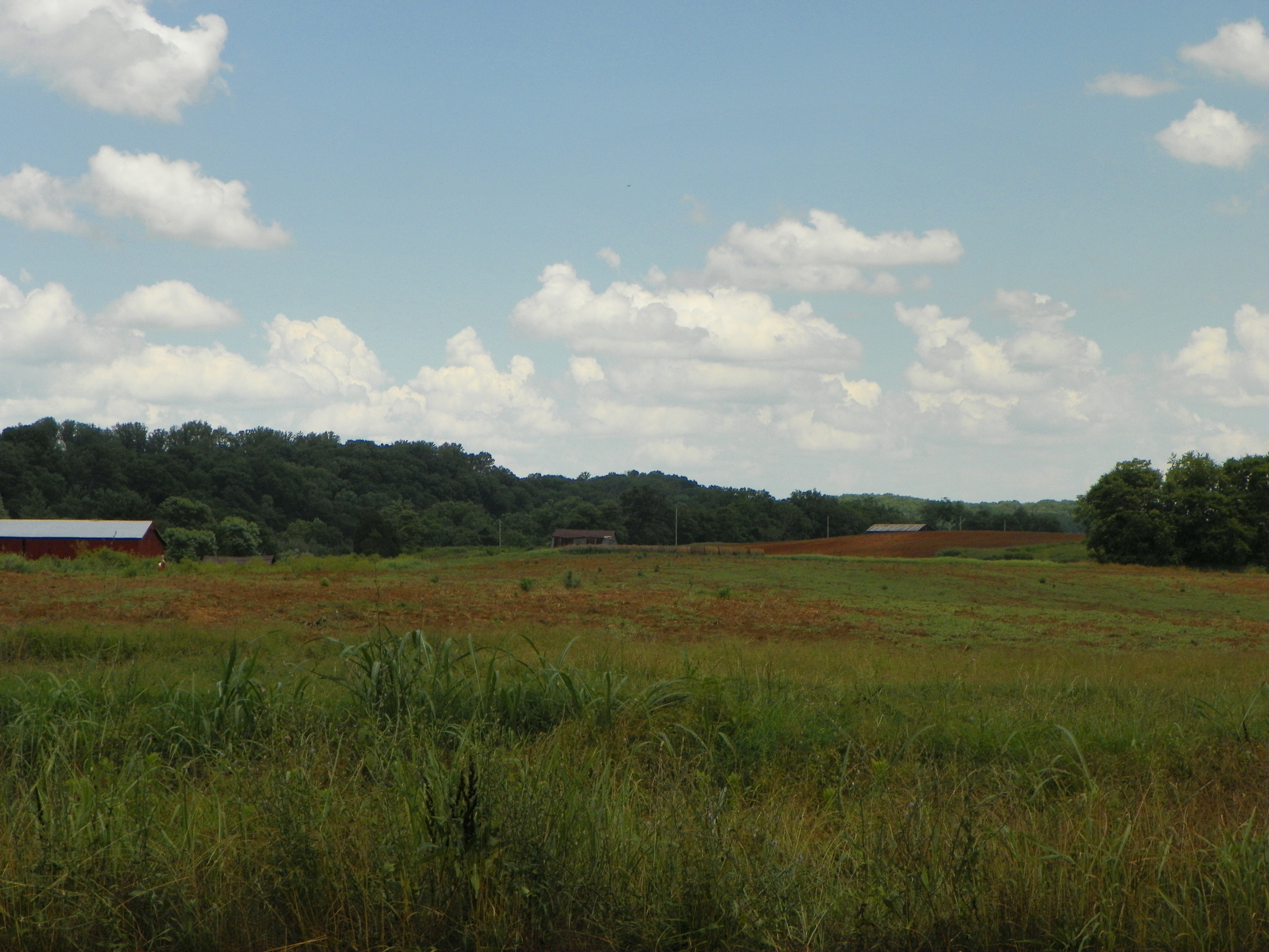
View of Earnest Farms Area 05

View from the Front Porch

Washington County, TN Courthouse - Jonesboro, TN
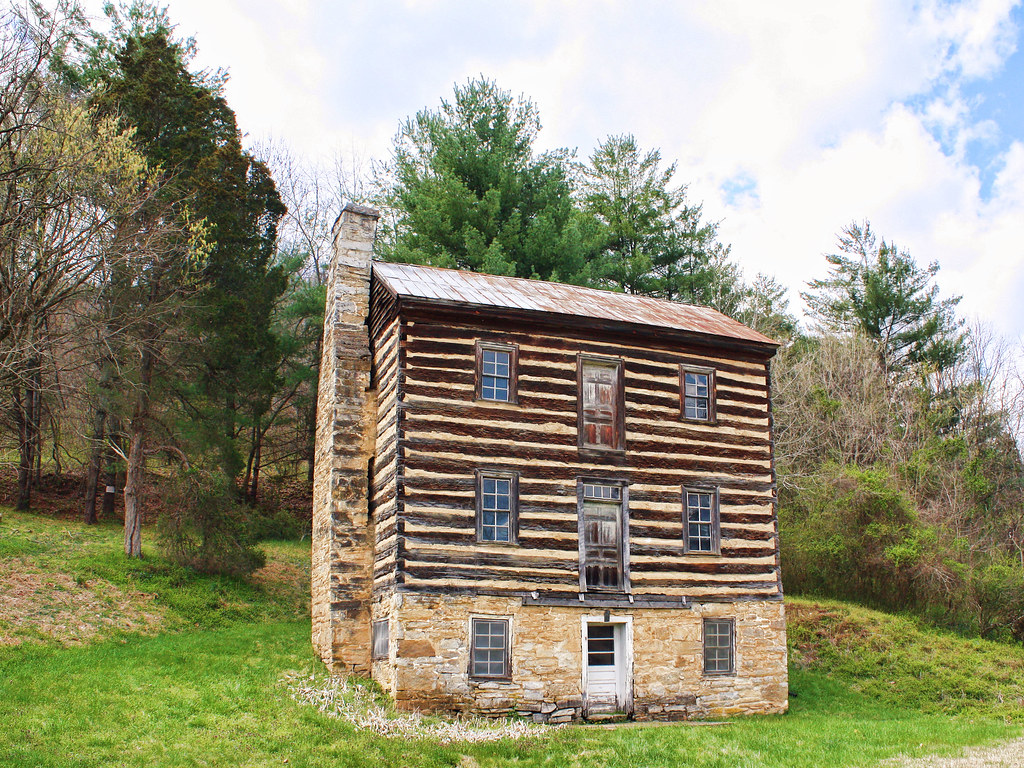
Earnest Fort House
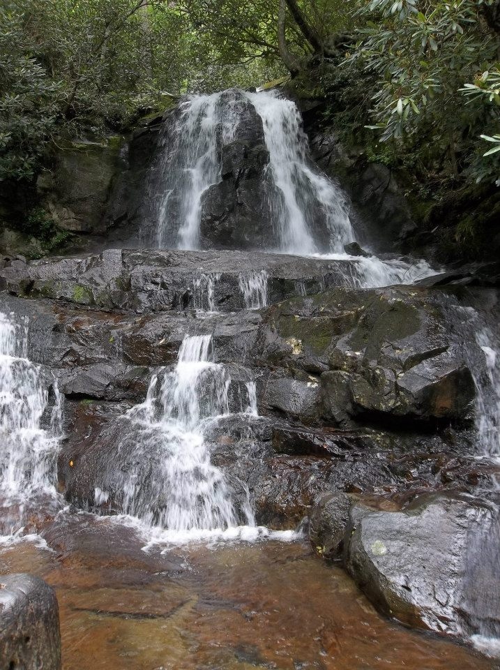
Laurel Falls
WP_20151120_002 (2)

IMG_9300.JPG
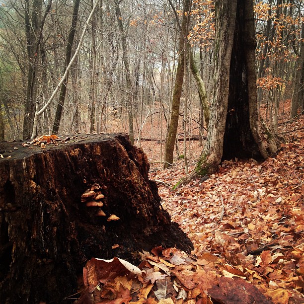
A face among the Fall
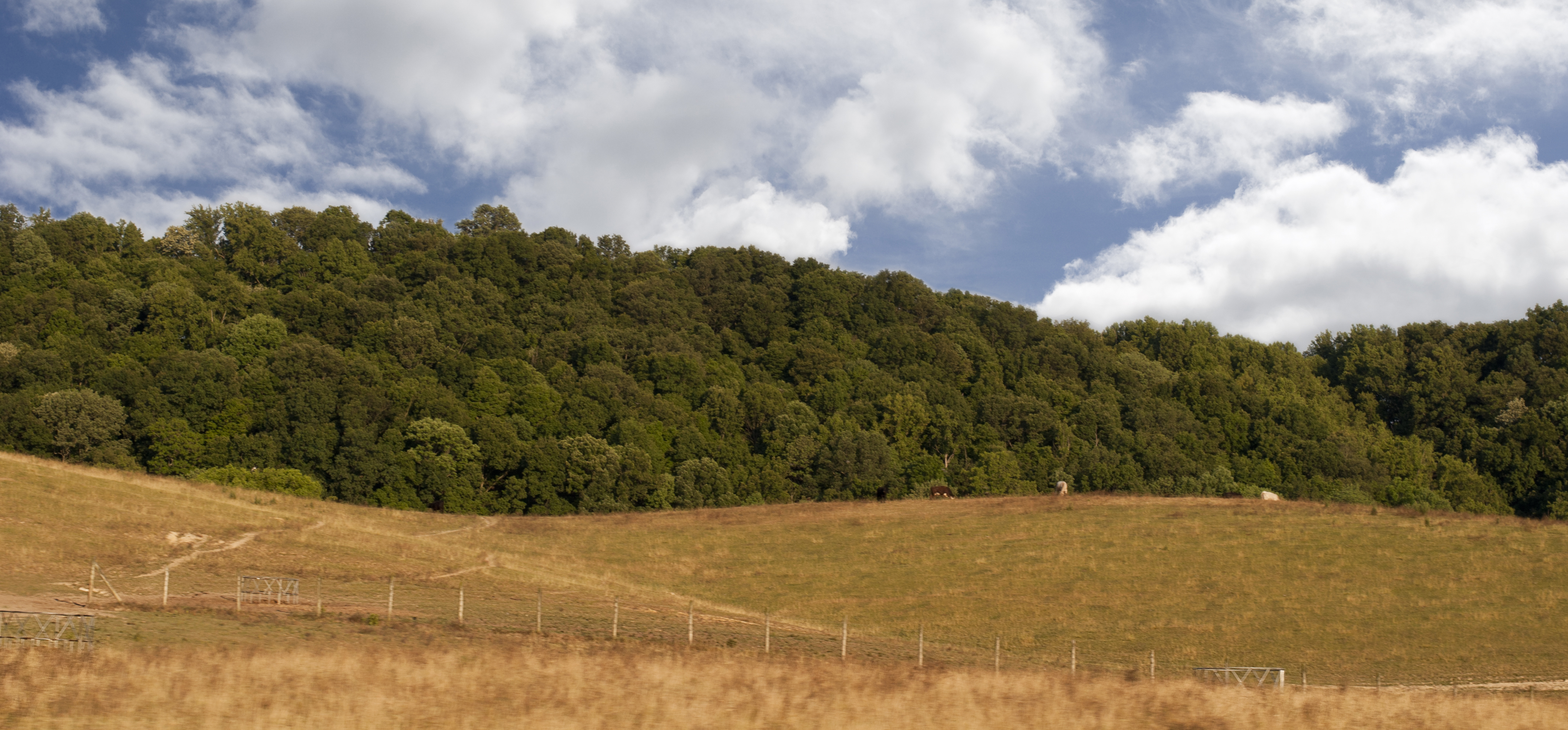
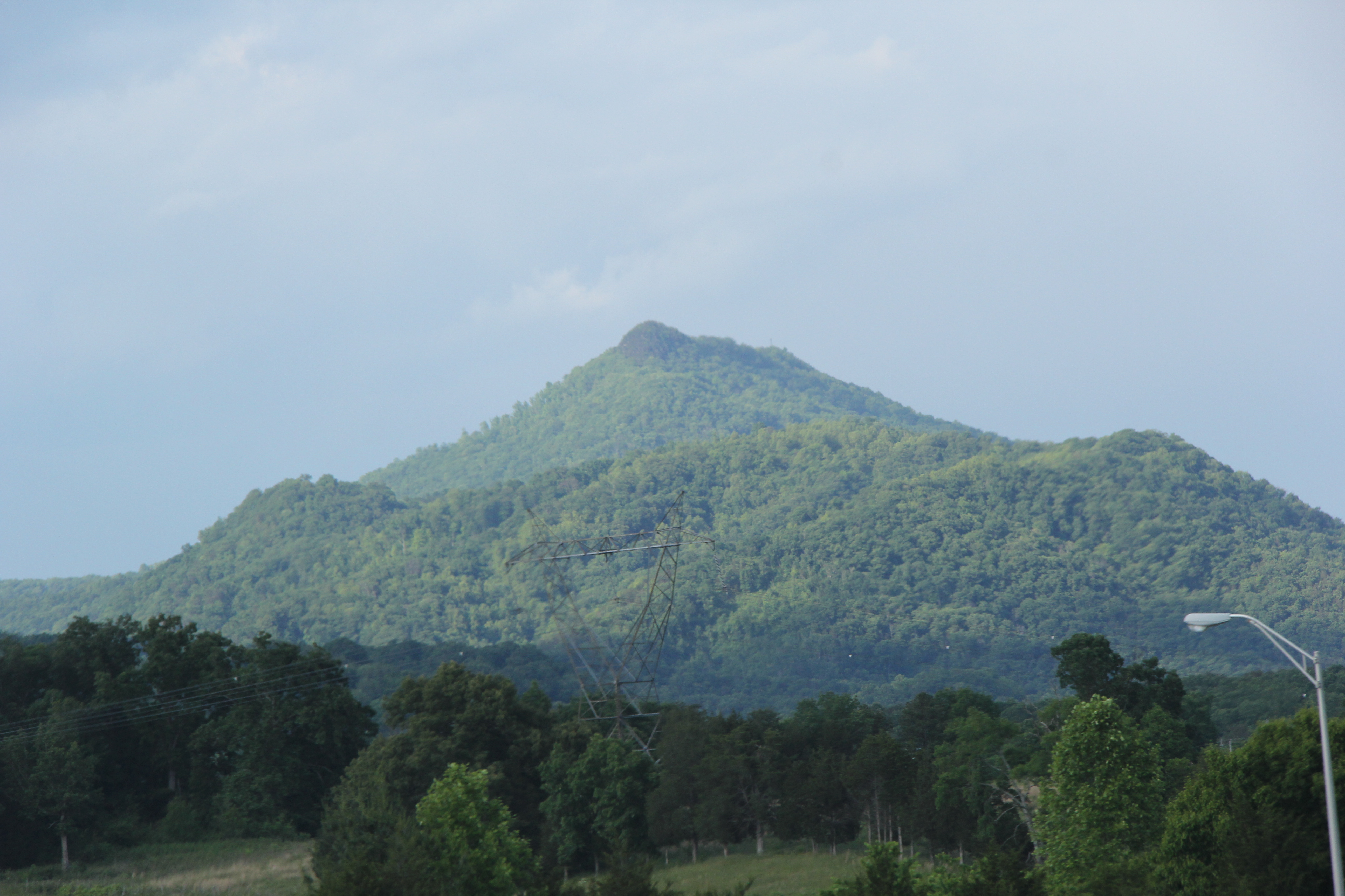
Tennessee Landscape
Luscious Landscape Layers
#oldmill
Open Road Tennessee #i81 #cloud #cloudporn #sky #skyporn #tennessee #igers #igers_philly #vsco #vscocam

#sunsets #sunset

#sunset #sunsetlovers #sunsets

IMG_0160.JPG
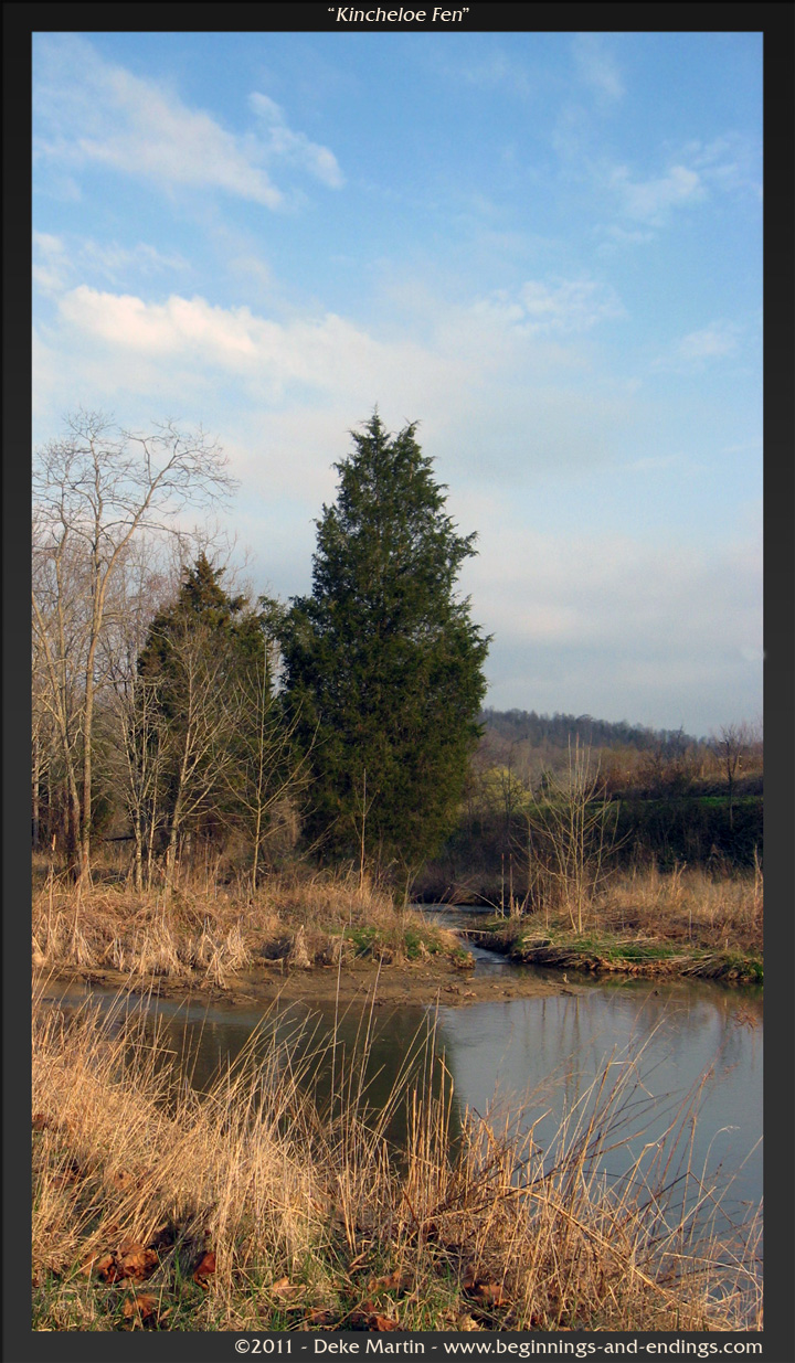
Kincheloe Fen

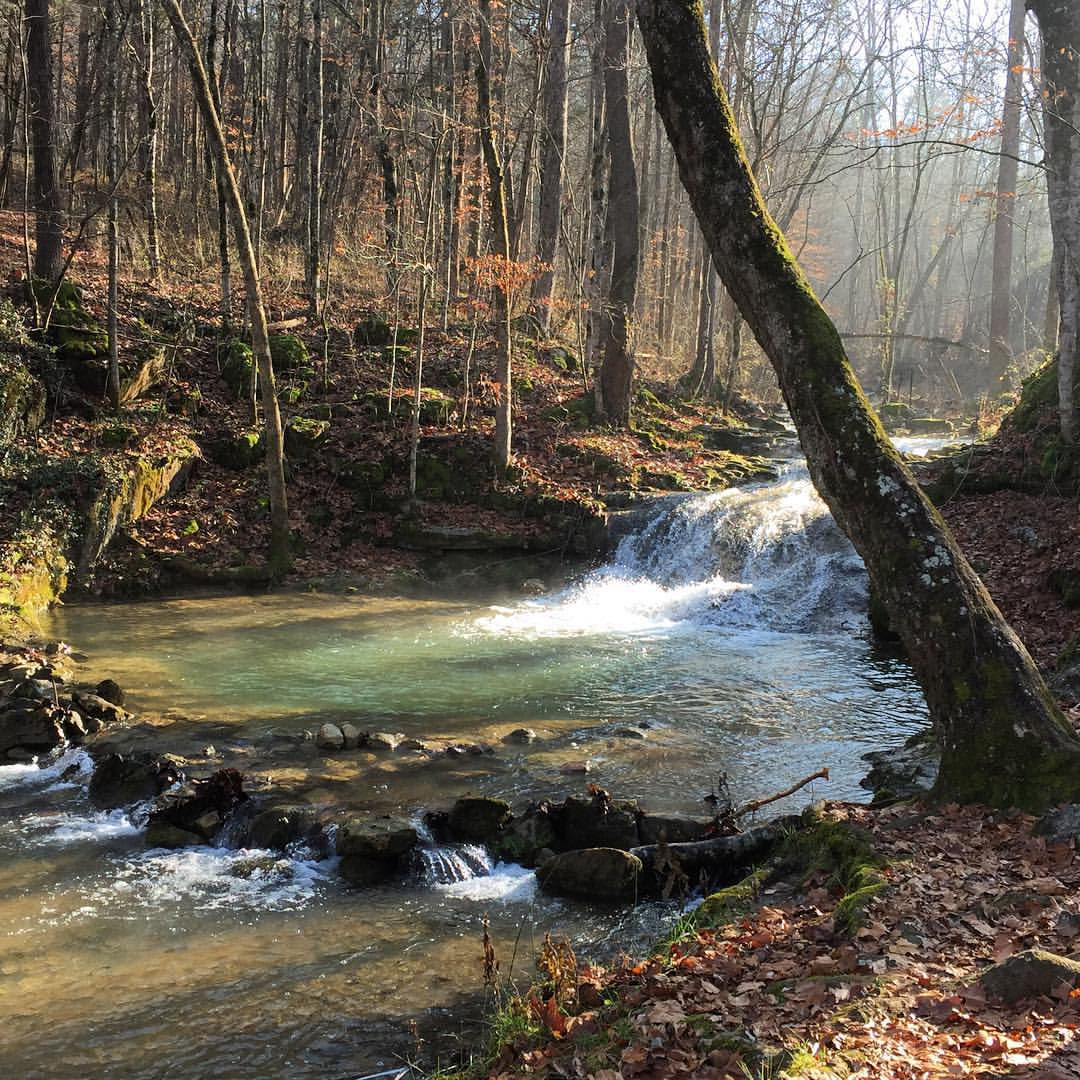
Deep Creek in the fall

IMG_1583.JPG
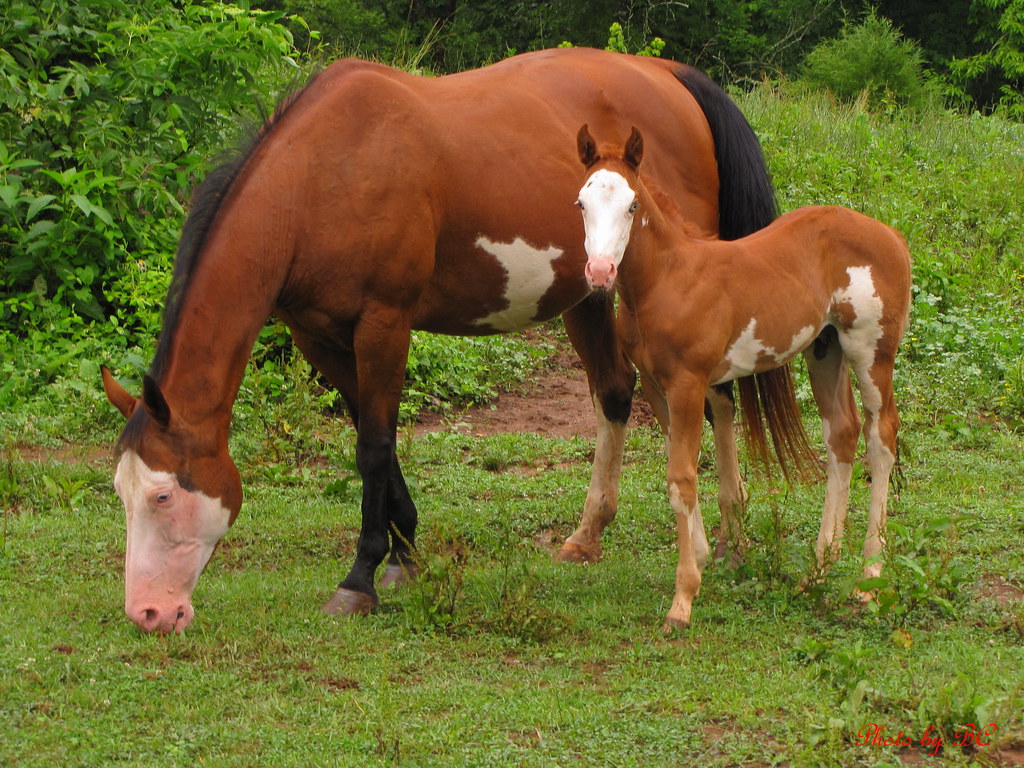
Mother and Son
Spring Sunrise

#sunsets #sunsetlovers #sunset
Lucky? Or dead ? Luck and Fate
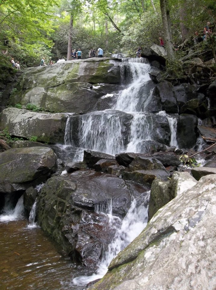
Laurel Falls
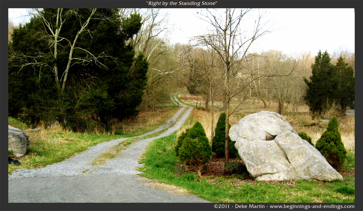
Right by the Standing Stone
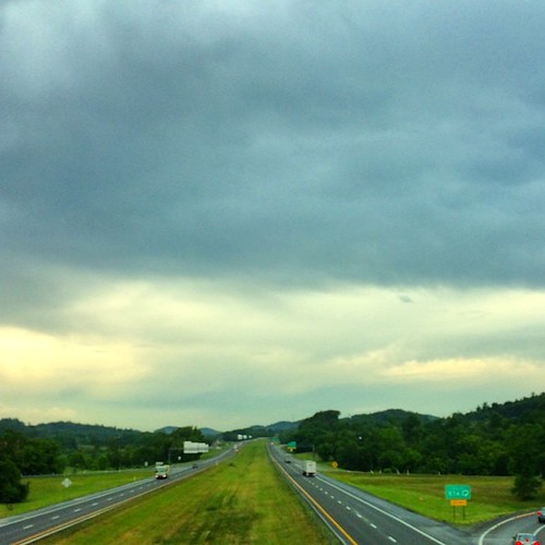
Tennessee Driving
Topographic Map of Saylor Hill Rd, Limestone, TN, USA
Find elevation by address:

Places near Saylor Hill Rd, Limestone, TN, USA:
125 Keys Rd
1480 Martin Rd
485 Carson Creek Rd
3105 Milburnton Rd
1885 Martin Rd
2147 Milburnton Rd
85 Dykes Hill Rd
386 Blackley Creek Rd
Graysburg
4057 Us-11e
Kingsport Hwy, Fall Branch, TN, USA
Limestone, TN, USA
Limestone
255 Ralph Rhea Ln
251 Anderson St
296 Anderson St
155 Anderson St
153 Hugh Story Rd
287 Hugh Story Rd
910 Graysburg Hills Rd
Recent Searches:
- Elevation of Rojo Ct, Atascadero, CA, USA
- Elevation of Flagstaff Drive, Flagstaff Dr, North Carolina, USA
- Elevation of Avery Ln, Lakeland, FL, USA
- Elevation of Woolwine, VA, USA
- Elevation of Lumagwas Diversified Farmers Multi-Purpose Cooperative, Lumagwas, Adtuyon, RV32+MH7, Pangantucan, Bukidnon, Philippines
- Elevation of Homestead Ridge, New Braunfels, TX, USA
- Elevation of Orchard Road, Orchard Rd, Marlborough, NY, USA
- Elevation of 12 Hutchinson Woods Dr, Fletcher, NC, USA
- Elevation of Holloway Ave, San Francisco, CA, USA
- Elevation of Norfolk, NY, USA