Elevation of Saxtons River Rd, Saxtons River, VT, USA
Location: United States > Vermont > Windham County > Town Of Rockingham > Saxtons River >
Longitude: -72.5535
Latitude: 43.1490561
Elevation: 189m / 620feet
Barometric Pressure: 99KPa
Elevation Map:
Satellite Map:
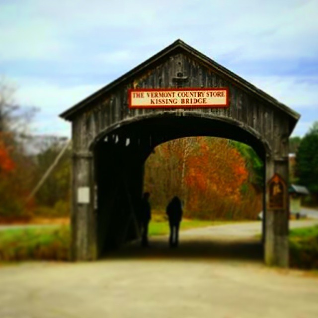
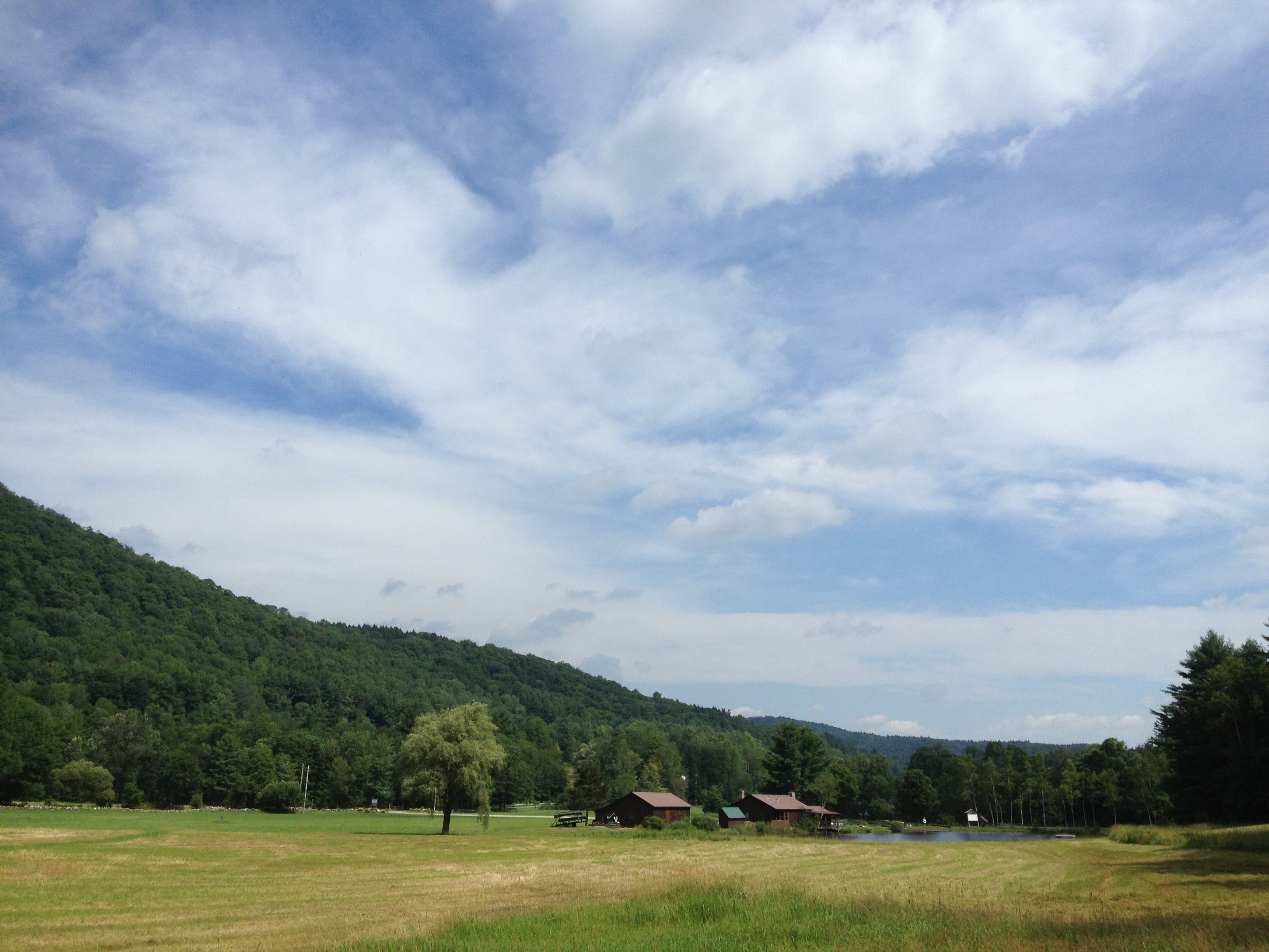
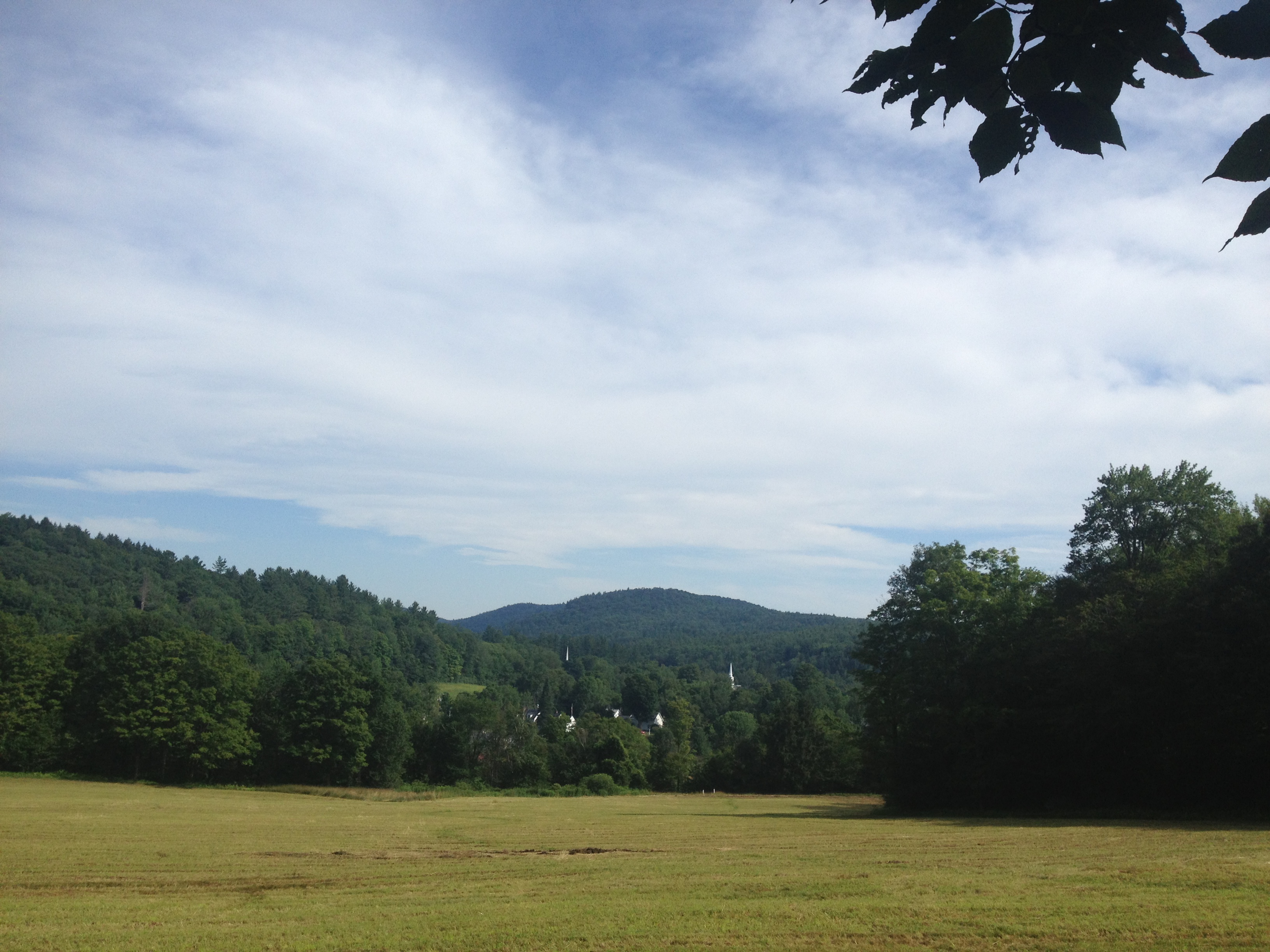
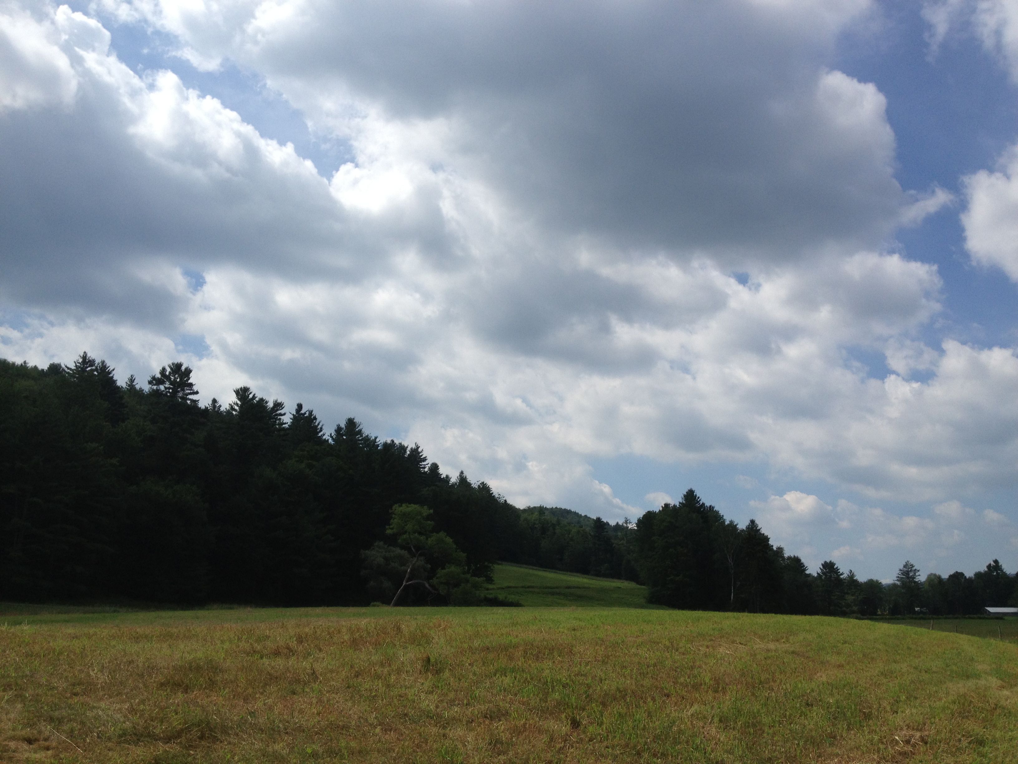
Related Photos:

View from the Hall
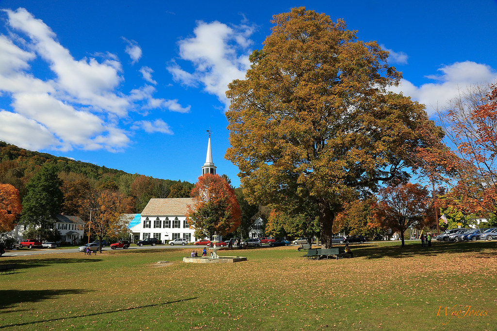
Townshend Village Green
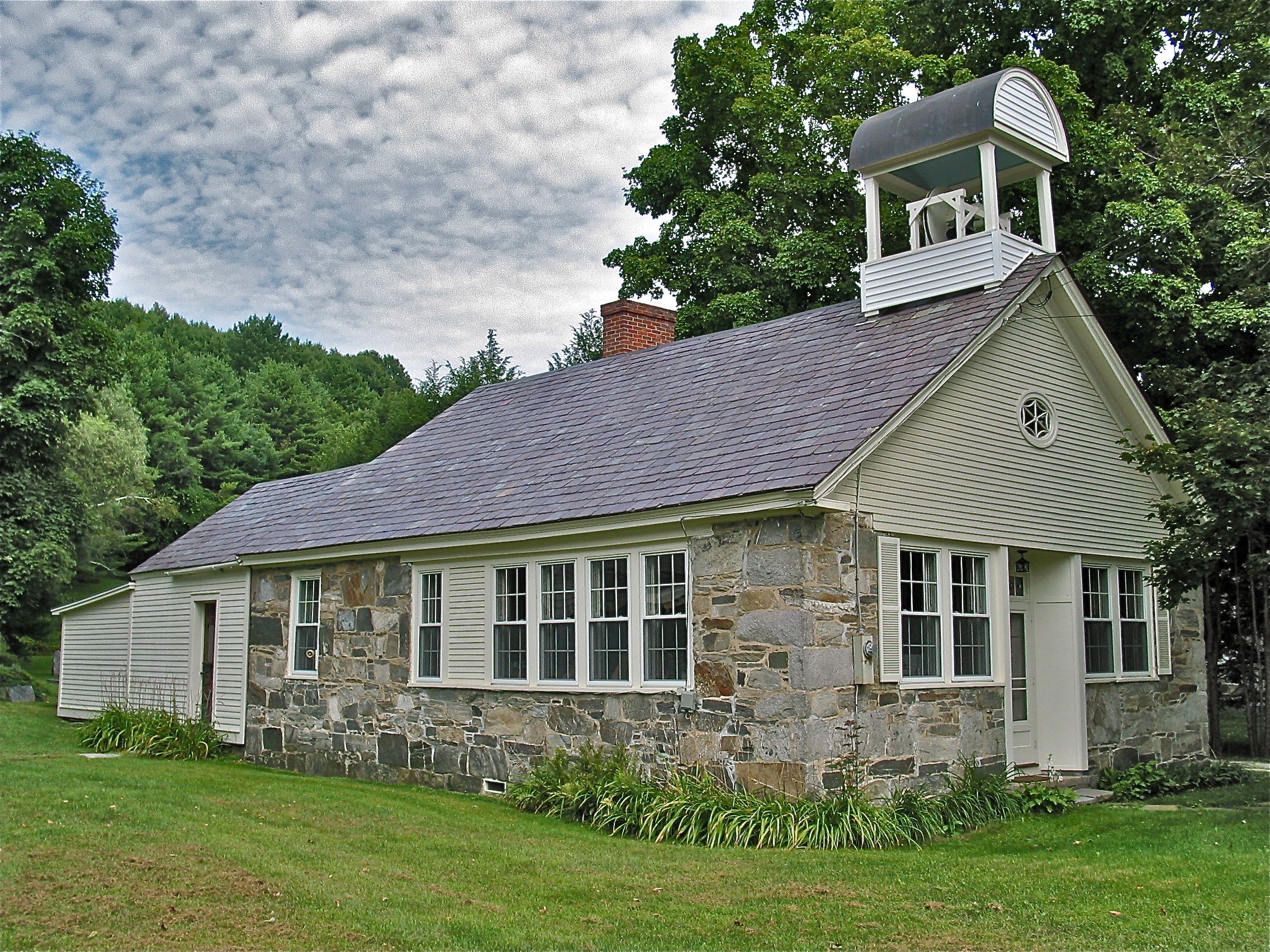
Stone Village Historic District (1838-60) – Schoolhouse

Bombus griseocollis,ocelli view, Rockingham, 5/22/2012

Rockingham Meetinghouse
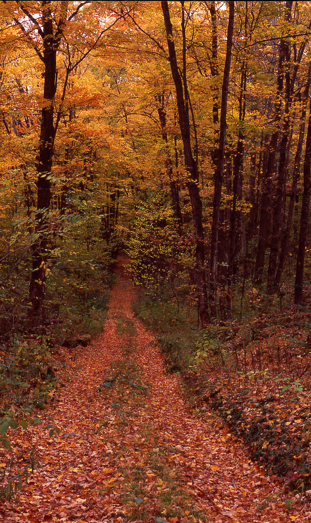
Chester VT dirt road
an opening in the lattice

MY Little Chickadee!

Bellows Falls Train (bus) Station

Bellows Falls Train (bus) Station

Bombus griseocollis, top view, Rockingham, 5/22/2012

Stone Village Historic District (1838-60)

Stone Village Historic District (1838-60)
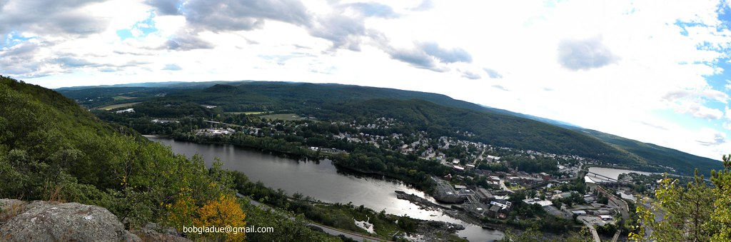
Bellows falls, vermont

Bombus Bimaculatus queen

Family and Friends In Attendance
Bellows falls, vermont

Bombus Bimaculatus queen
Bellows falls, vermont

029/365 29-December-2012
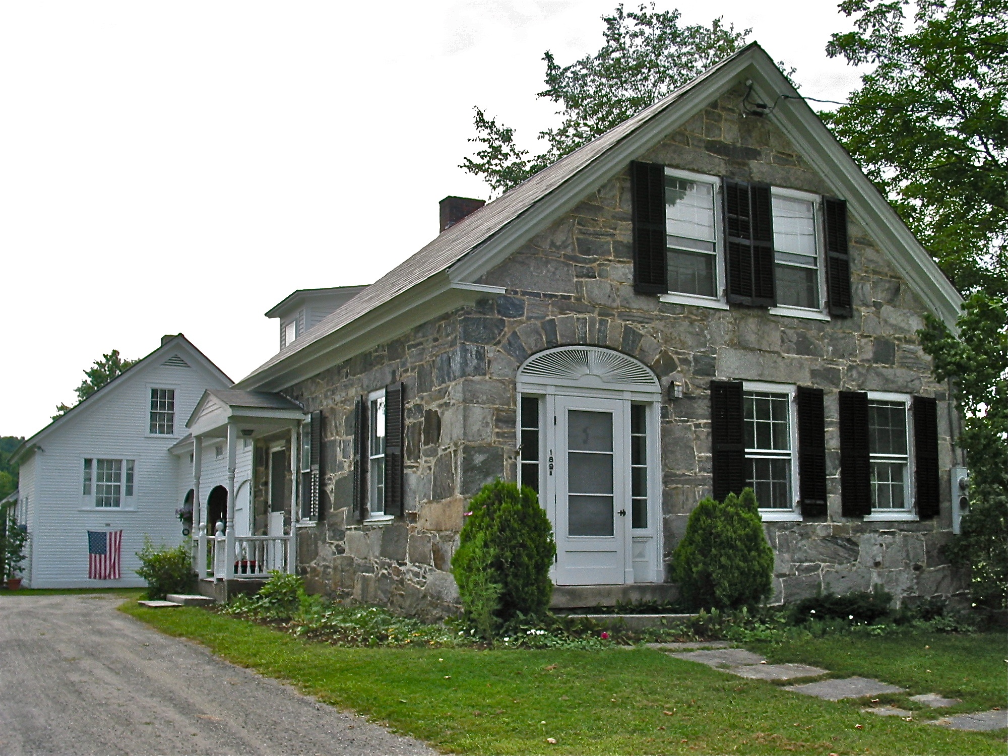
Stone Village Historic District (1838-60)

Grafton Stone Wall
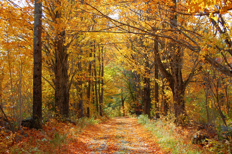
Country Roads (Explored)
Trees 4a

The Perfect Fake! (Explored!)
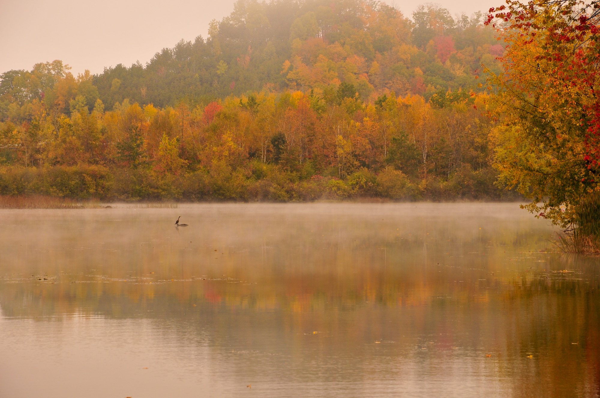
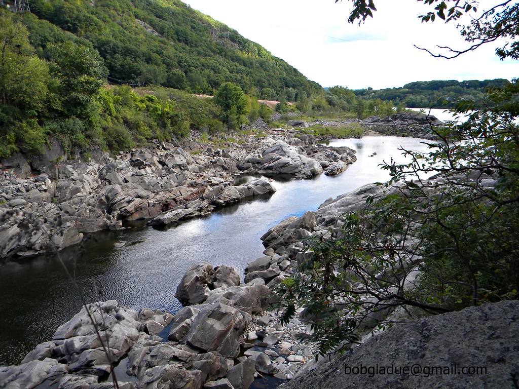
Connecticut River Backwater
2013-07-19 10.41.18
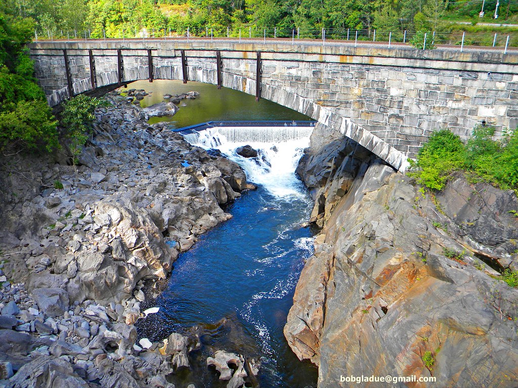
Vermont Bridge

2013-07-19 10.41.26
2013-07-19 10.41.45
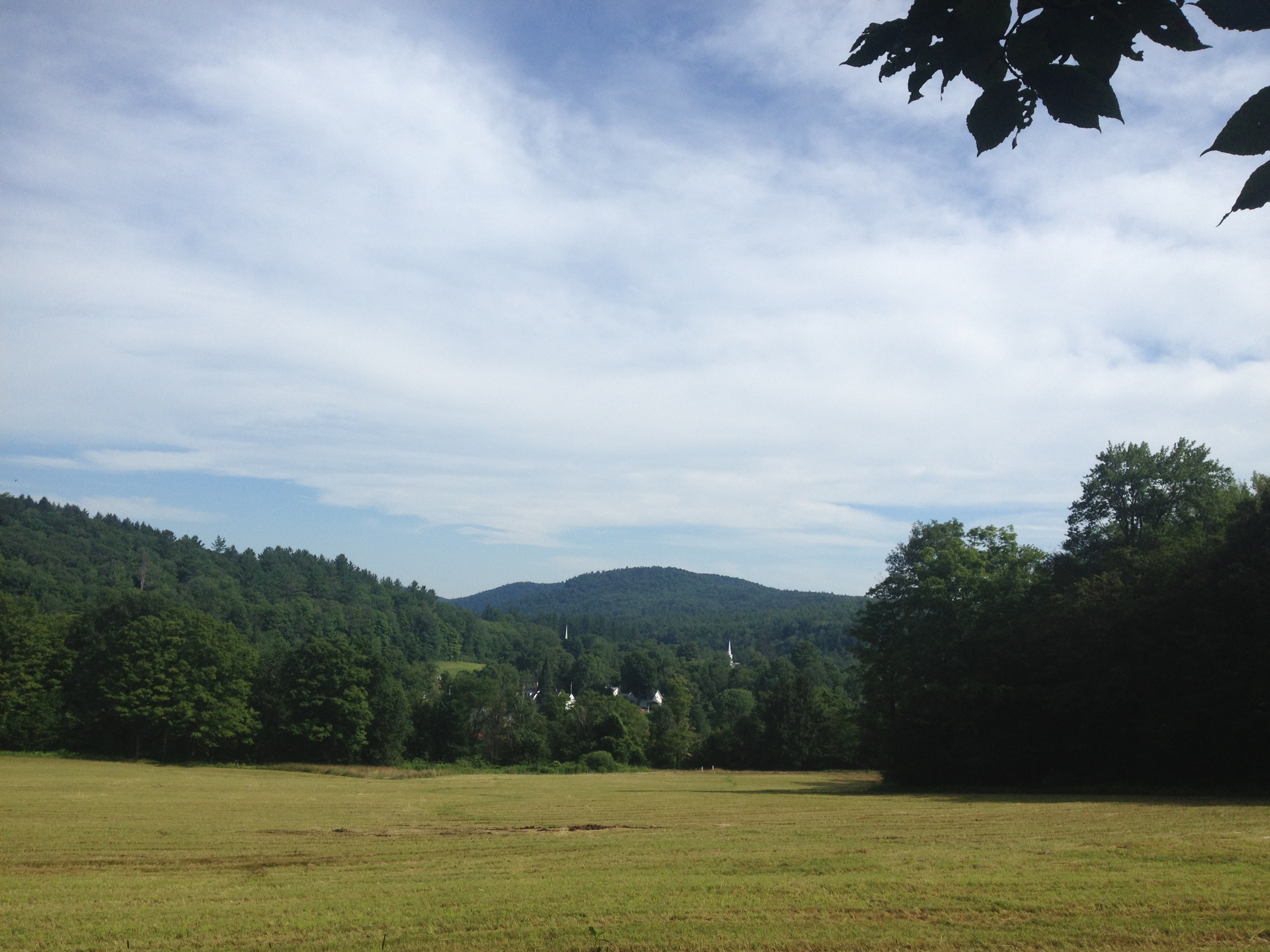
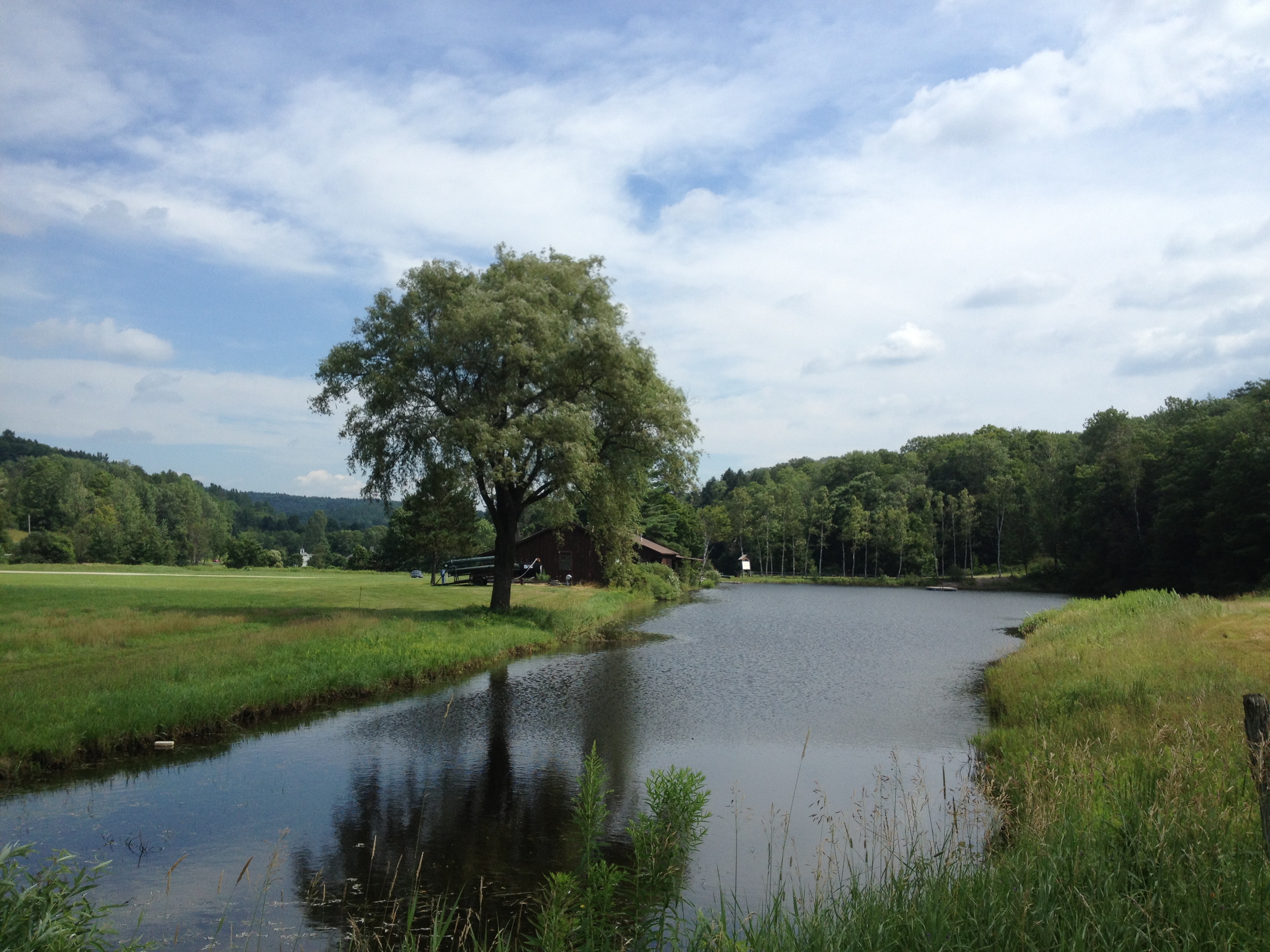
2013-07-19 09.31.48
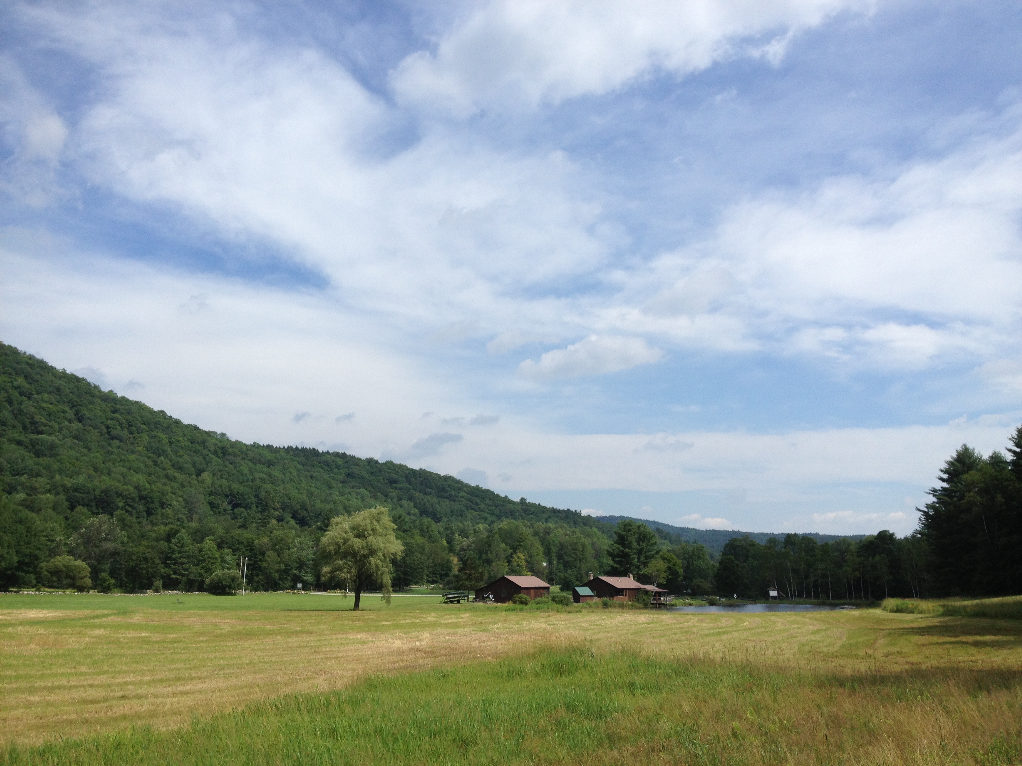
2013-07-19 10.44.20
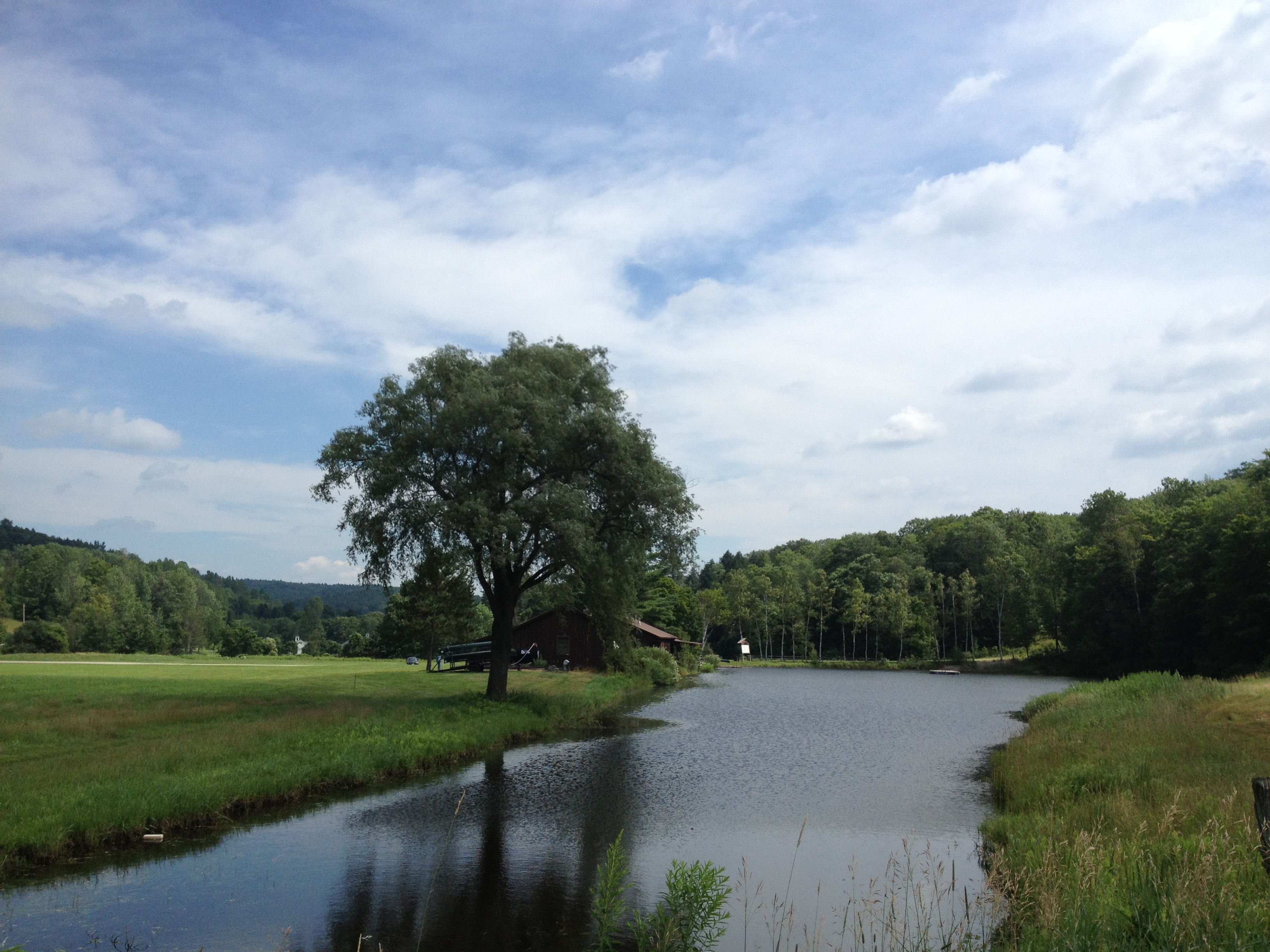
2013-07-19 09.31.51
2013-07-19 09.20.13

2013-07-19 10.44.30
VTTownshendDam011.jpg

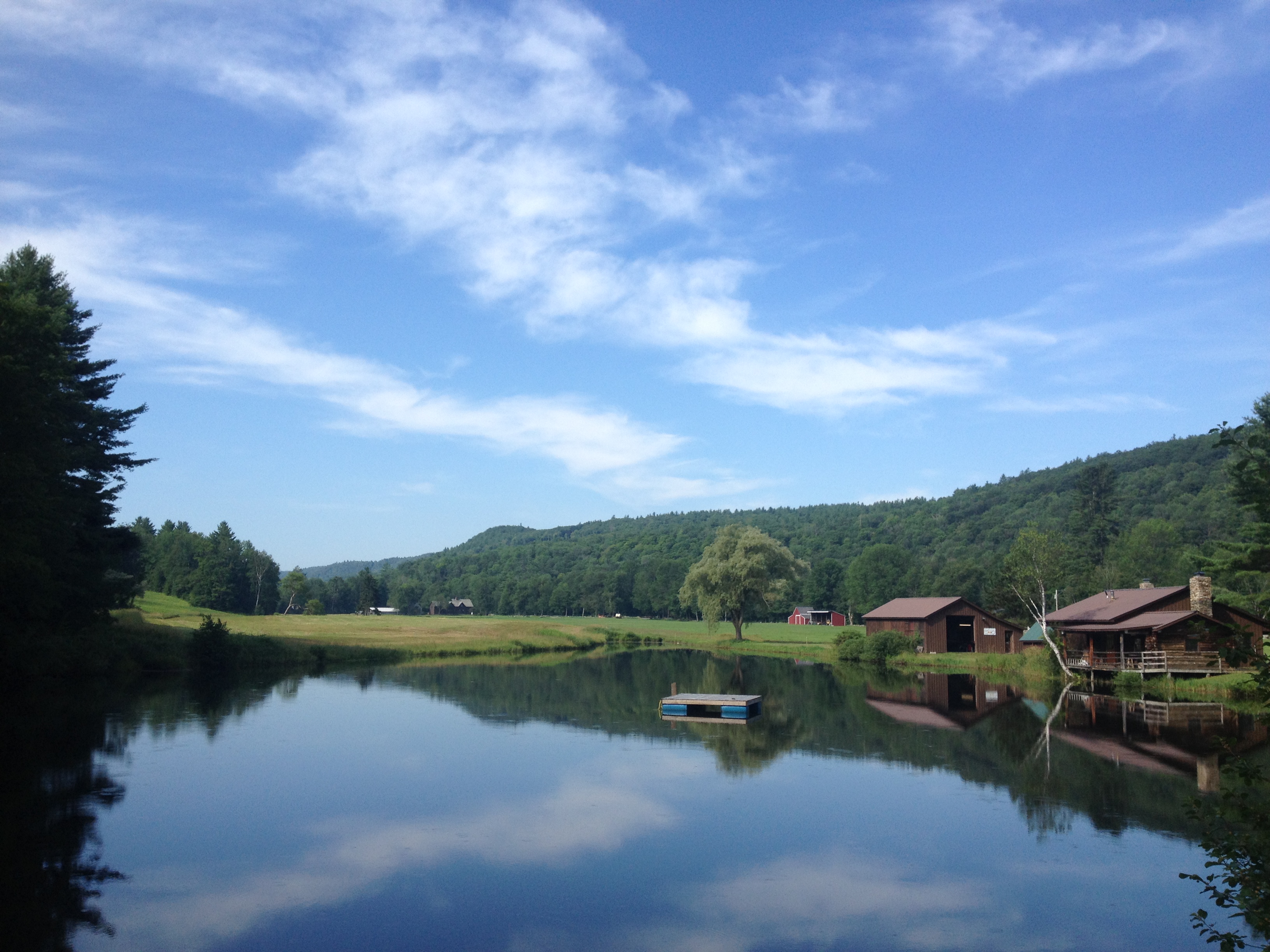
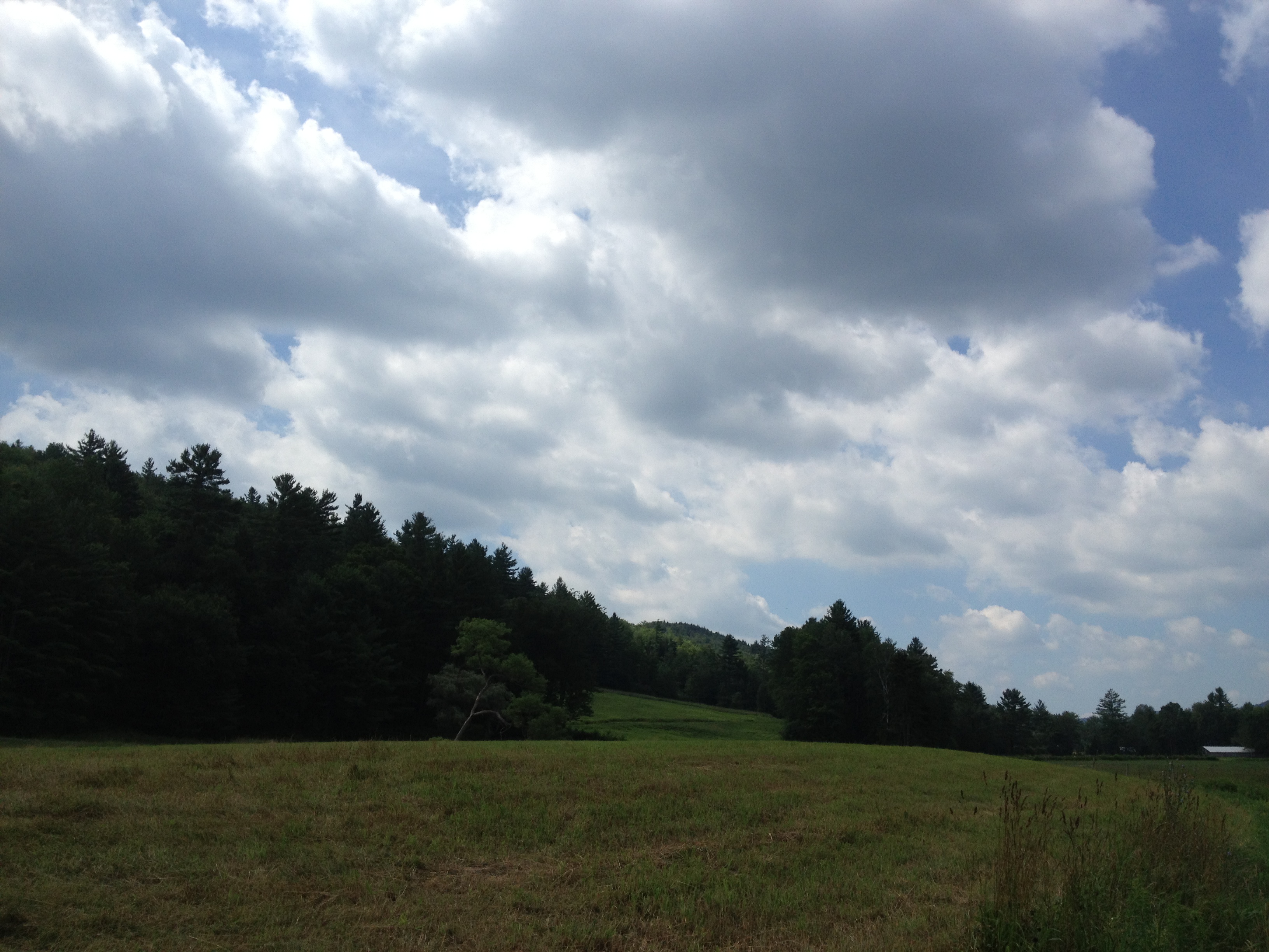
2013-07-19 10.37.31
2013-07-19 10.44.31-2

2013-07-19 09.31.46
2013-07-19 10.44.28
2013-07-19 10.41.40
2013-07-19 10.44.09
Topographic Map of Saxtons River Rd, Saxtons River, VT, USA
Find elevation by address:

Places near Saxtons River Rd, Saxtons River, VT, USA:
22 Vt-35
105 Atcherson Hollow Rd
113 Atcherson Hollow Rd
Athens
Saxtons River
700 Rockingham Hill Rd
238 Brookline Rd
369 Milky Way
735 Pleasant Valley Rd
24 Chester Rd, Grafton, VT, USA
Grafton
130 Pleasant St
1968 Chester Rd
54 Paradise Hill Rd
792 Houghtonville Rd
2220 Townshend Rd
4 Rockingham Hill Rd, Bellows Falls, VT, USA
Town Of Rockingham
Eastman Road
1872 Eastman Rd
Recent Searches:
- Elevation of Beall Road, Beall Rd, Florida, USA
- Elevation of Leguwa, Nepal
- Elevation of County Rd, Enterprise, AL, USA
- Elevation of Kolchuginsky District, Vladimir Oblast, Russia
- Elevation of Shustino, Vladimir Oblast, Russia
- Elevation of Lampiasi St, Sarasota, FL, USA
- Elevation of Elwyn Dr, Roanoke Rapids, NC, USA
- Elevation of Congressional Dr, Stevensville, MD, USA
- Elevation of Bellview Rd, McLean, VA, USA
- Elevation of Stage Island Rd, Chatham, MA, USA