Elevation of Sawpit Road, Sawpit Rd, Kentucky, USA
Location: United States > Kentucky > Greenup County >
Longitude: -83.025905
Latitude: 38.4976202
Elevation: 277m / 909feet
Barometric Pressure: 98KPa
Elevation Map:
Satellite Map:
Related Photos:

IMG_4212.JPG

IMG_3248.JPG

IMG_2969.JPG
IMG_5191.JPG

IMG_7609.JPG
Trail Descends
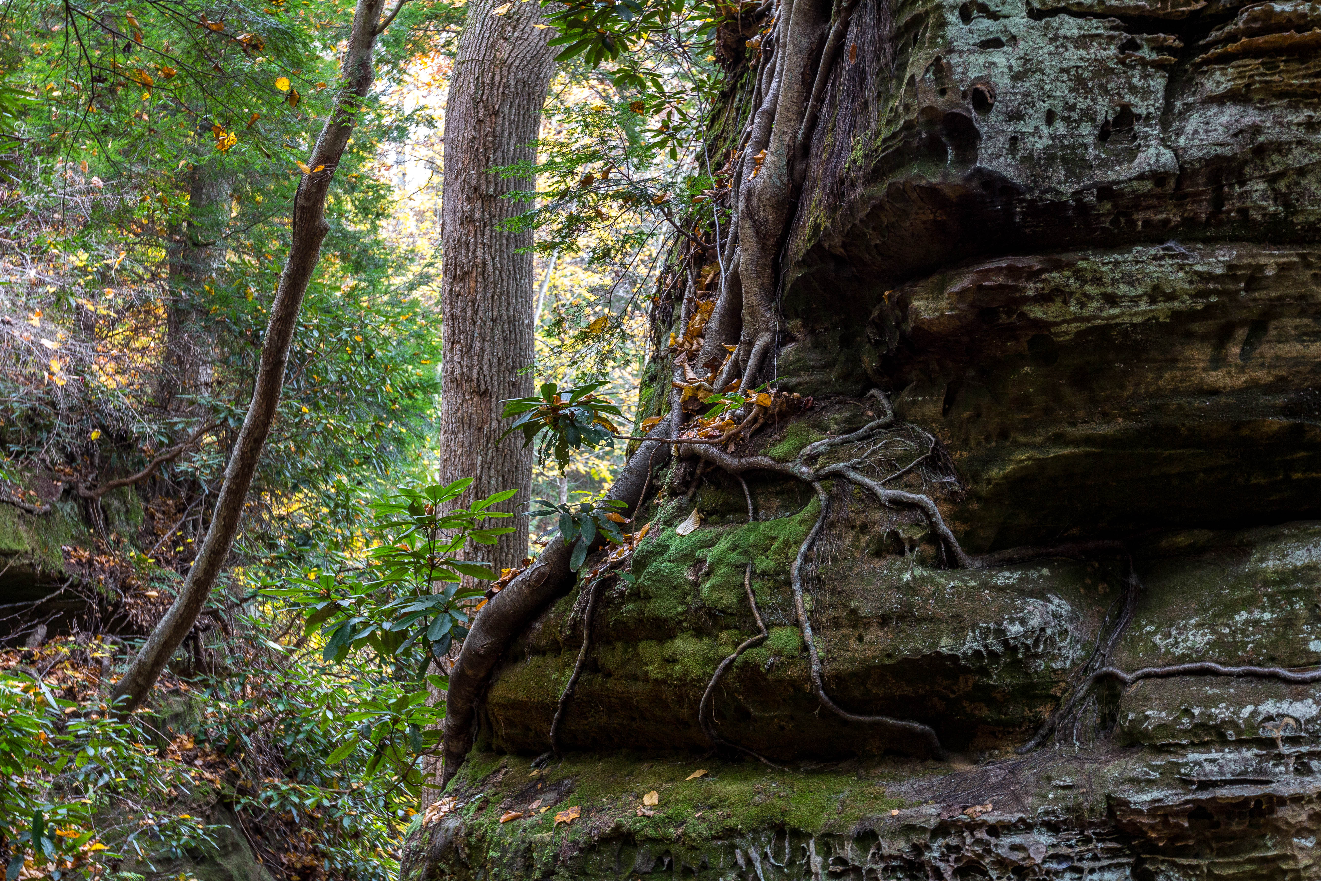
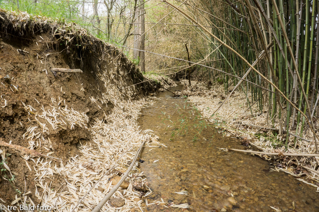
Roots, Rocks, and Moss
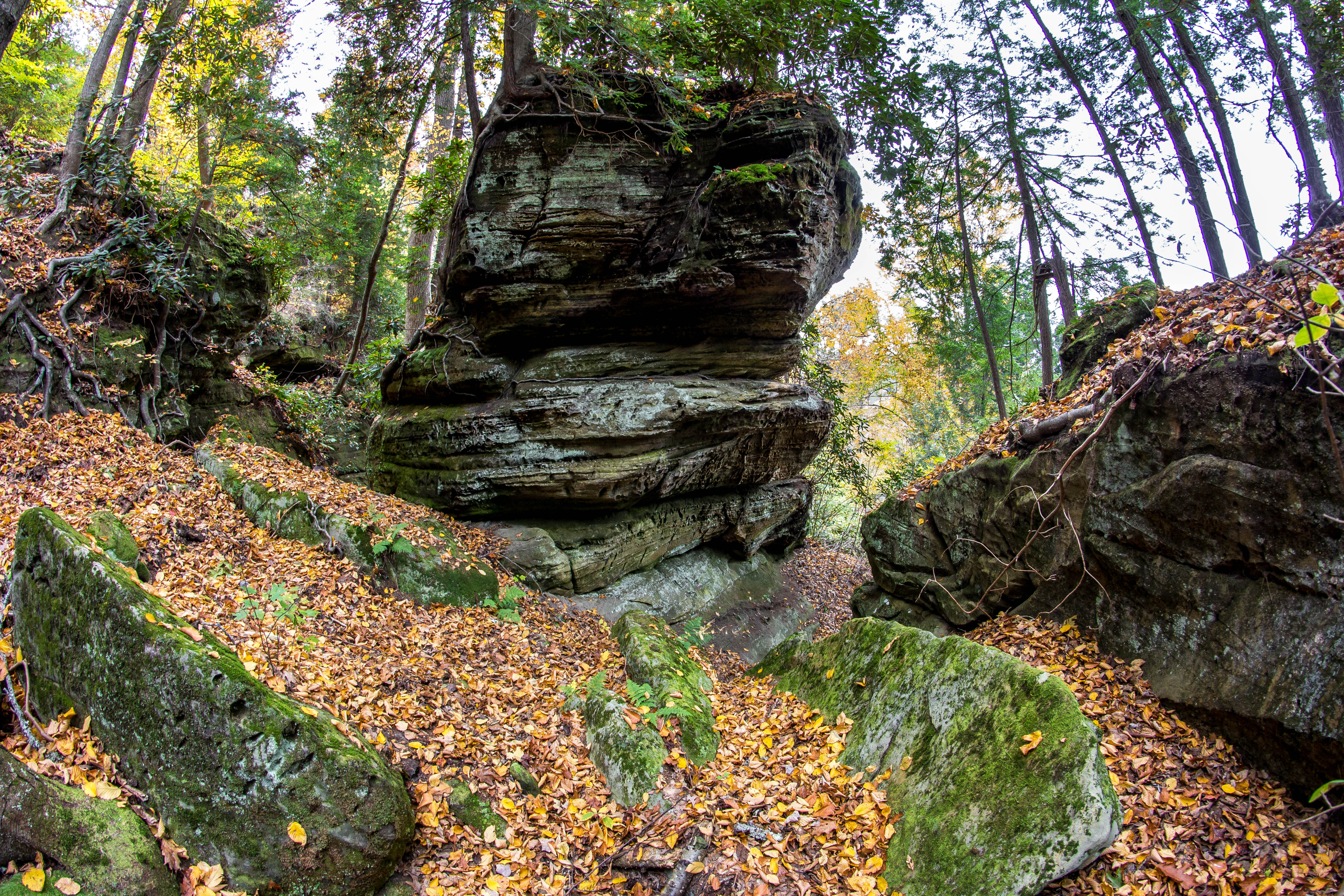
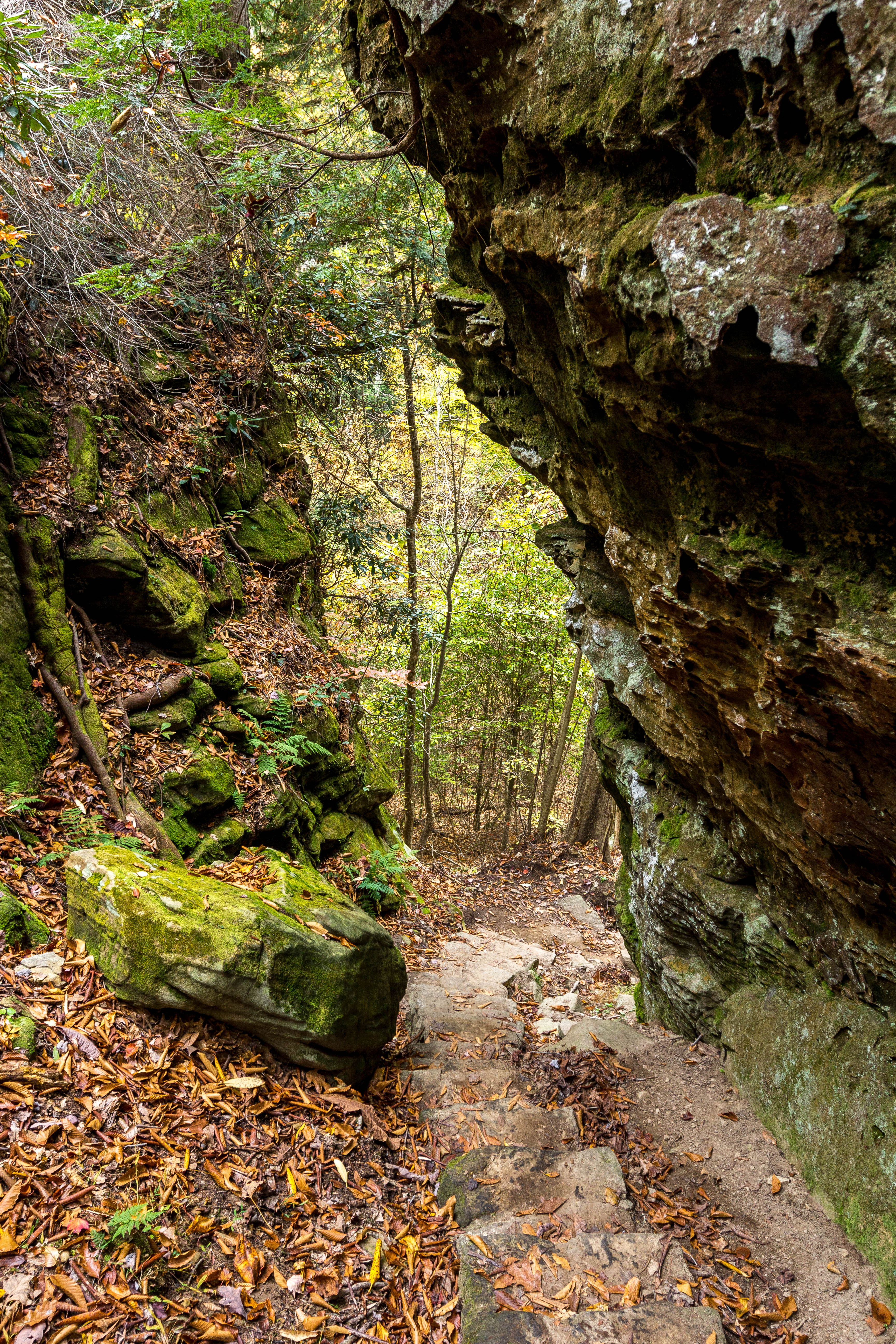
Rock Formations
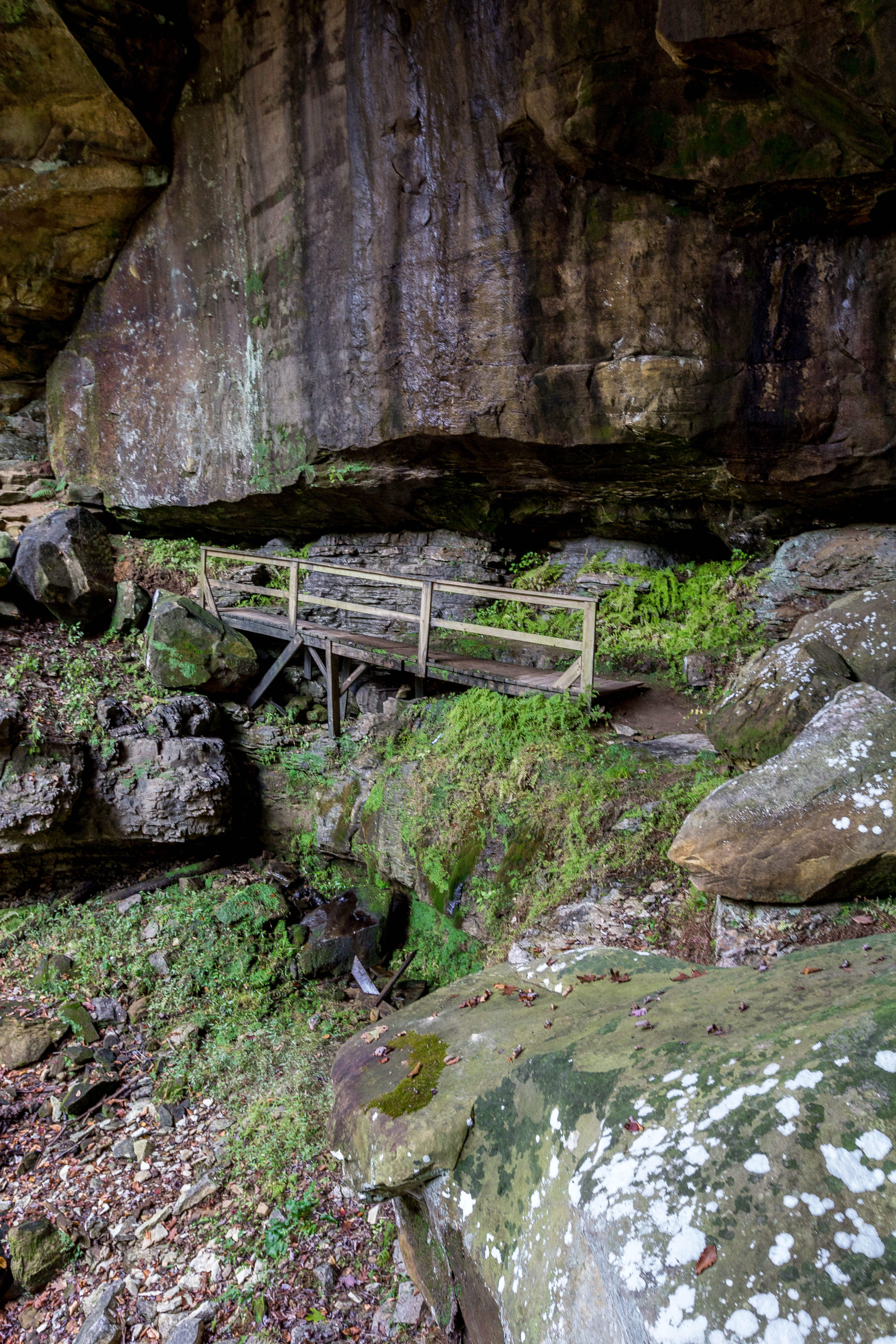
Fern Bridge

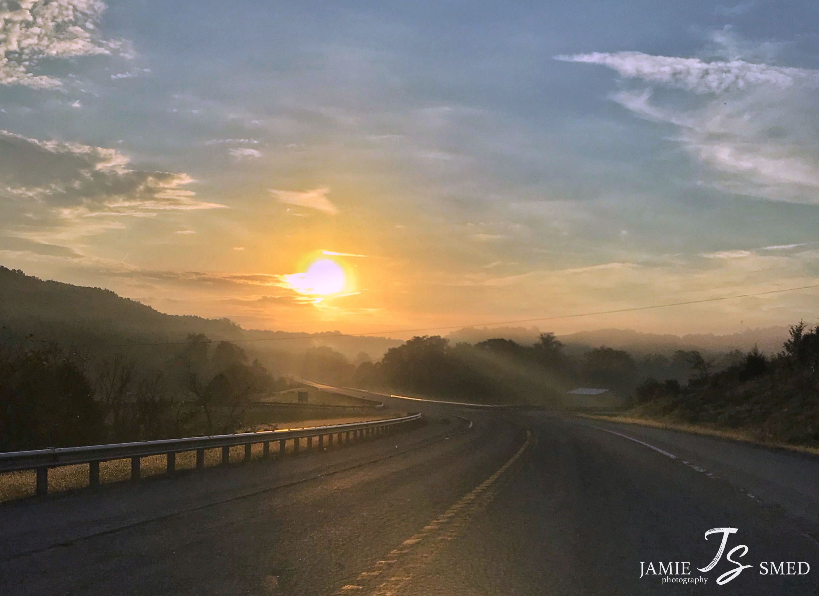
Greenbo Lake Sunrise
Argillite Kentucky
Topographic Map of Sawpit Road, Sawpit Rd, Kentucky, USA
Find elevation by address:

Places near Sawpit Road, Sawpit Rd, Kentucky, USA:
Little Lost Creek Road
KY-2, Grayson, KY, USA
173 Silver Creek
Carter Caves State Resort Park
Quincy
44 Smith Branch Rd, Grayson, KY, USA
Carter County
68 Martin Ave, Garrison, KY, USA
Garrison
KY-8, Quincy, KY, USA
US-52, Stout, OH, USA
Mcglone Creek Road
1163 Erwin Ridge Rd
1163 Erwin Ridge Rd
1163 Erwin Ridge Rd
1163 Erwin Ridge Rd
810 Murphys Ln
KY-8, South Portsmouth, KY, USA
US-60, Olive Hill, KY, USA
Aden Rd, Olive Hill, KY, USA
Recent Searches:
- Elevation of Groblershoop, South Africa
- Elevation of Power Generation Enterprises | Industrial Diesel Generators, Oak Ave, Canyon Country, CA, USA
- Elevation of Chesaw Rd, Oroville, WA, USA
- Elevation of N, Mt Pleasant, UT, USA
- Elevation of 6 Rue Jules Ferry, Beausoleil, France
- Elevation of Sattva Horizon, 4JC6+G9P, Vinayak Nagar, Kattigenahalli, Bengaluru, Karnataka, India
- Elevation of Great Brook Sports, Gold Star Hwy, Groton, CT, USA
- Elevation of 10 Mountain Laurels Dr, Nashua, NH, USA
- Elevation of 16 Gilboa Ln, Nashua, NH, USA
- Elevation of Laurel Rd, Townsend, TN, USA