Elevation of Sawmill Rd, Alta, CA, USA
Location: United States > California > Placer County > Alta >
Longitude: -120.81797
Latitude: 39.211475
Elevation: 1054m / 3458feet
Barometric Pressure: 89KPa
Elevation Map:
Satellite Map:
Related Photos:
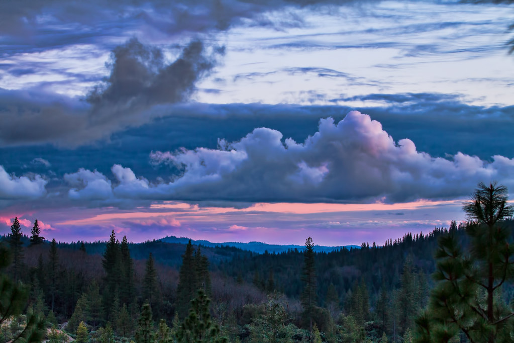
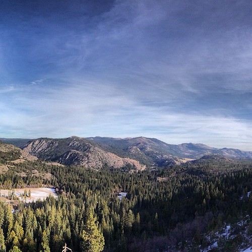
Sierra Sunset
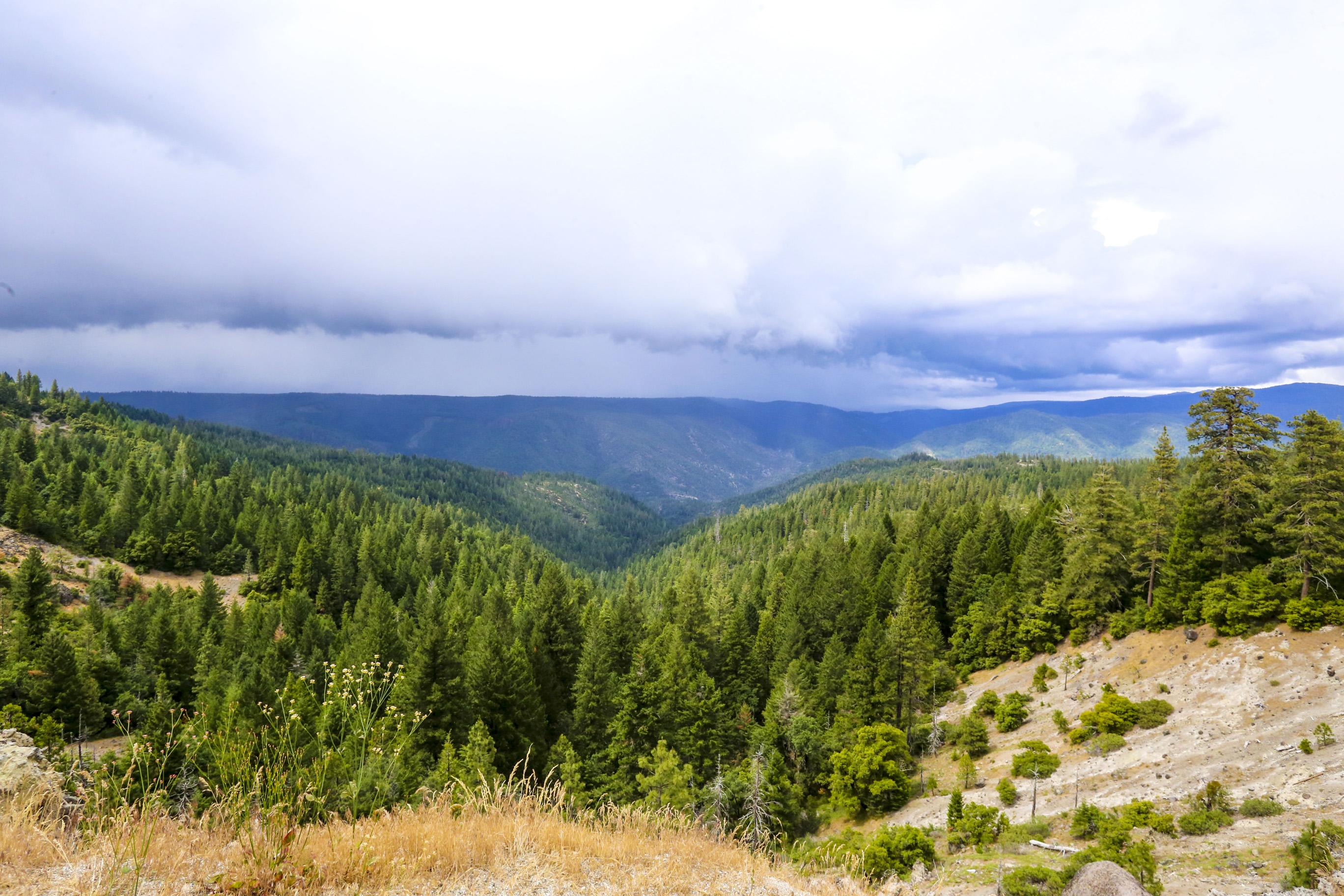
Sierra Thunderstorm
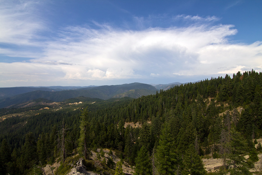
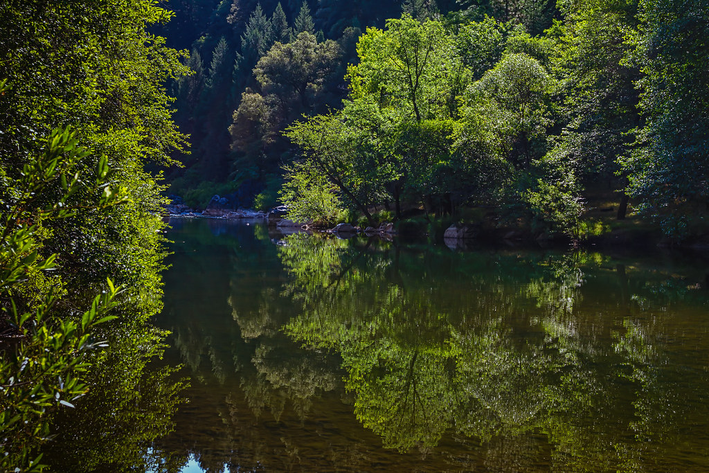
In the pines

Iowa Hill Bridge at North Fork American River

Rounding Cape Horn Promontory

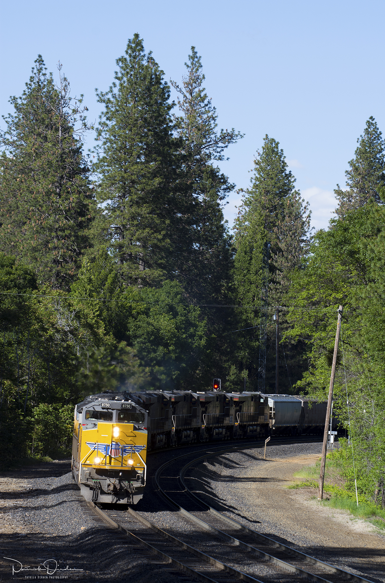
Curves of Steel
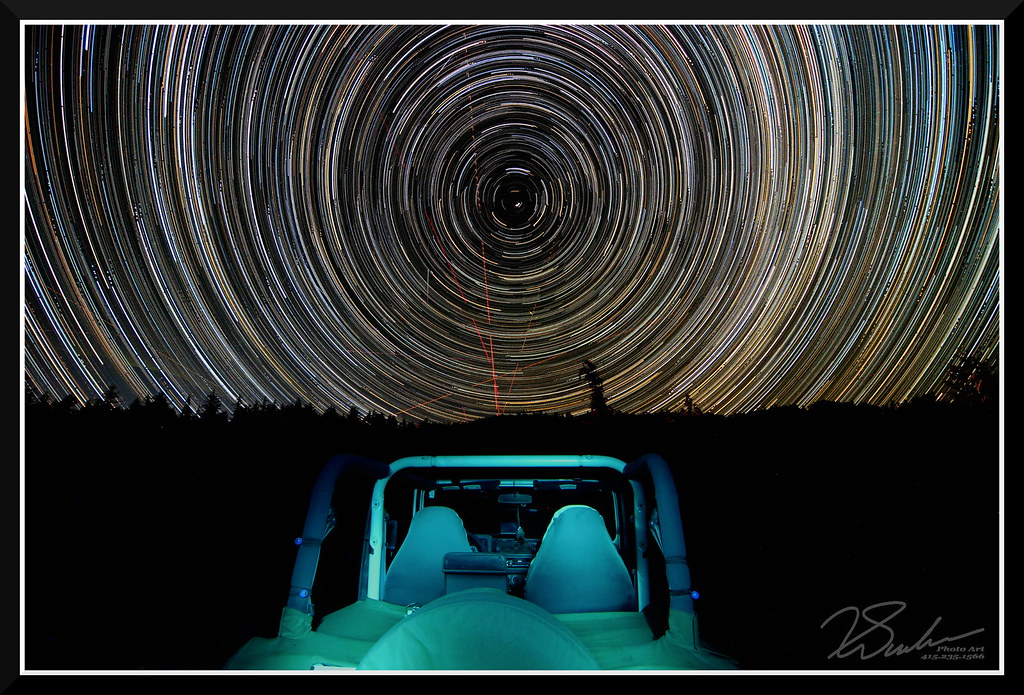
StarTrailsWithJeep-7999
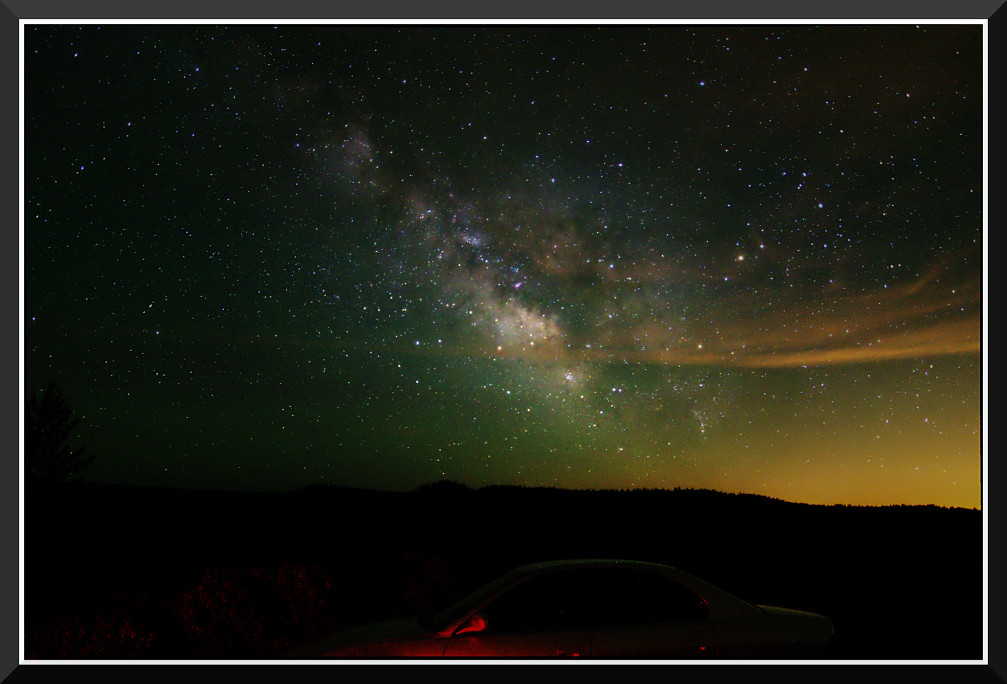
Day 891: MilkyWay_7702
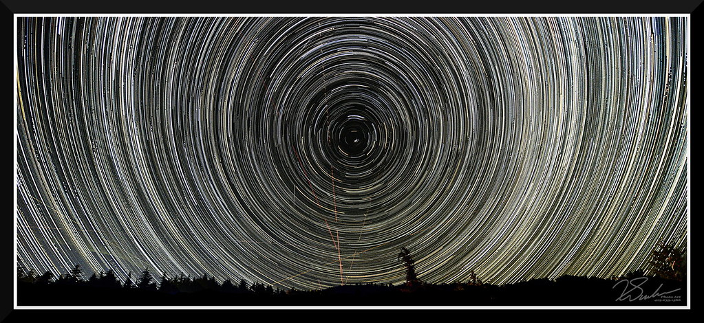
StarTrailsOnly-7999

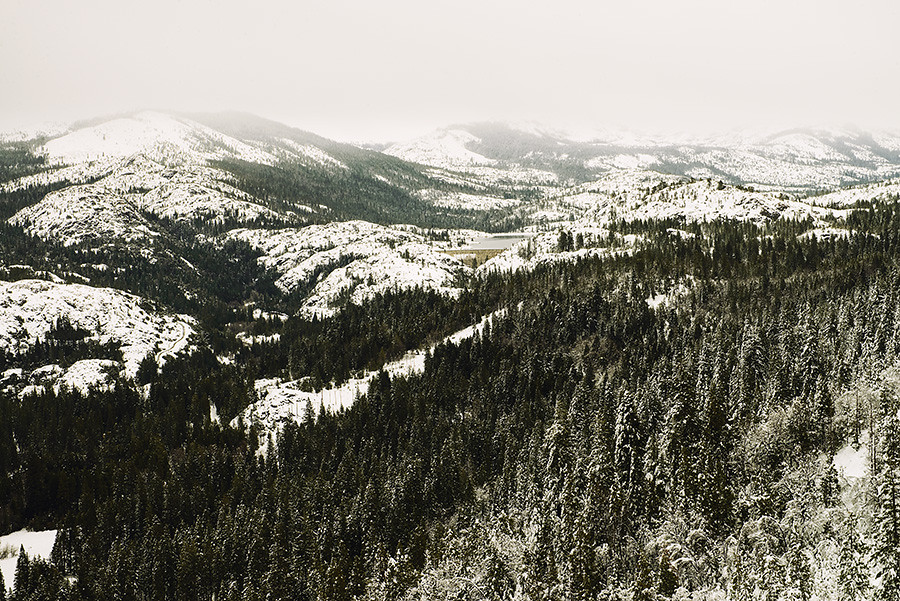
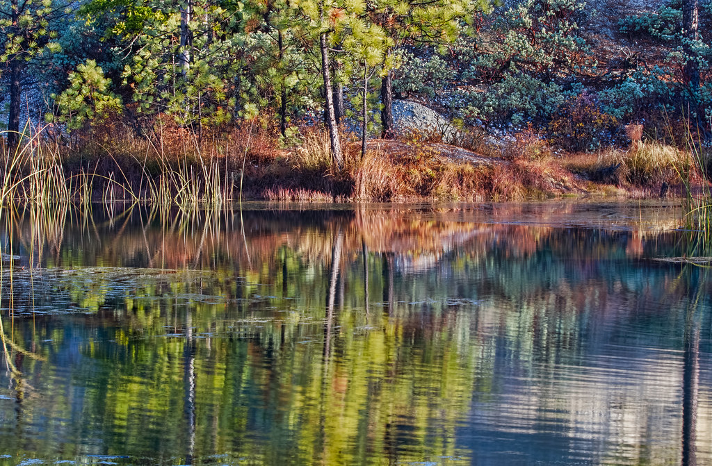
McKilligan Creek
View from the road

Sierra Dome Spider (Neriene litigiosa), male; Magra, Placer County, California; June 21, 2014
HWY 80 Vista

Spotted Pine Sawyer (Monochamus clamator)?; Macra, Placer County, California; June 28, 2014

Heading West at: Alta - California. ( 2 Views )
StarTrails-9799

Shroom Abstract

Sixspotted Orbweaver (Araniella displicata); Magra, Placer County, California; June 23, 2014
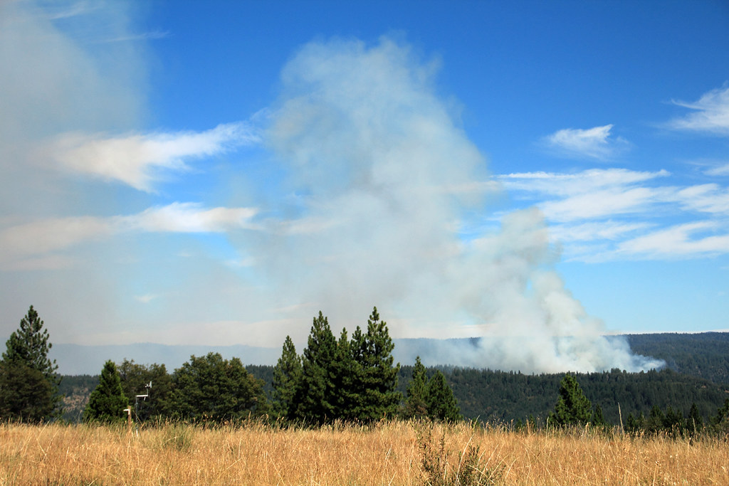
Blue Canyon Airport-View of Fires_080703_small
Cell phone pano
The view from here

South Fork Deer Creek Flow
Dreamy (HSS)
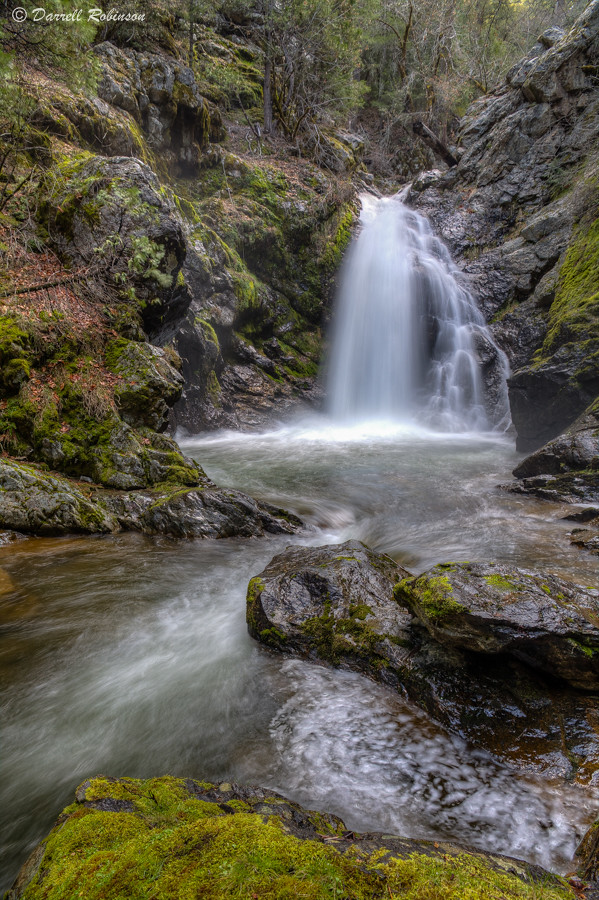
South Fork Deer Creek Falls

Burlington Ridge Stream
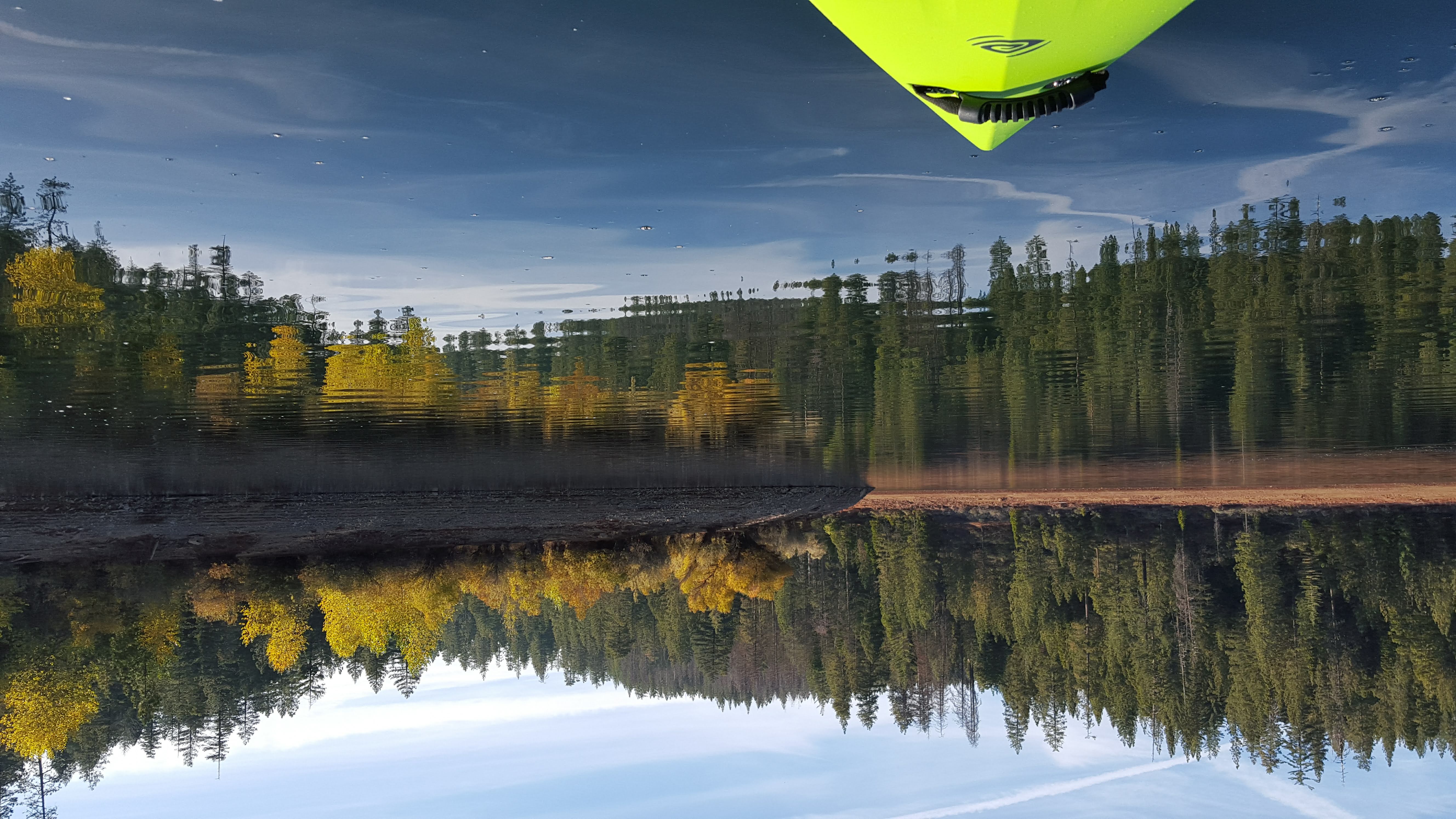
Fall Kayaking for Life
North Fork Morning

Gold Rush Country
Emigrant wilderness

Putt Lake Sunrise
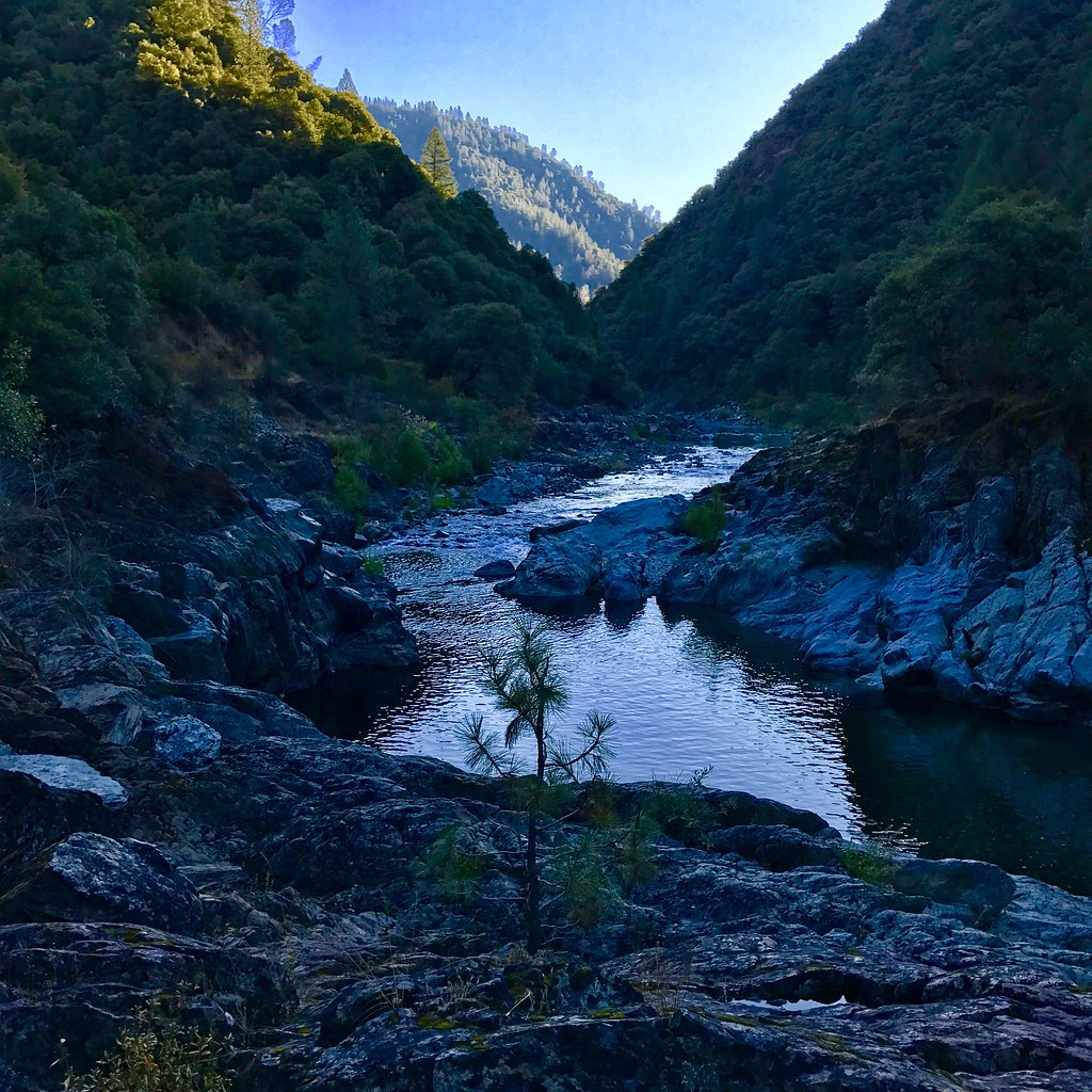
Morning Along the Bear River

RI037517.JPG

Scotts Flat Lake
Murchie Mine Road
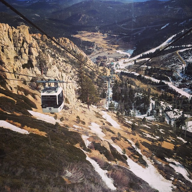
#ski #tram #snow #lift #winter #rocks #mountain #melt

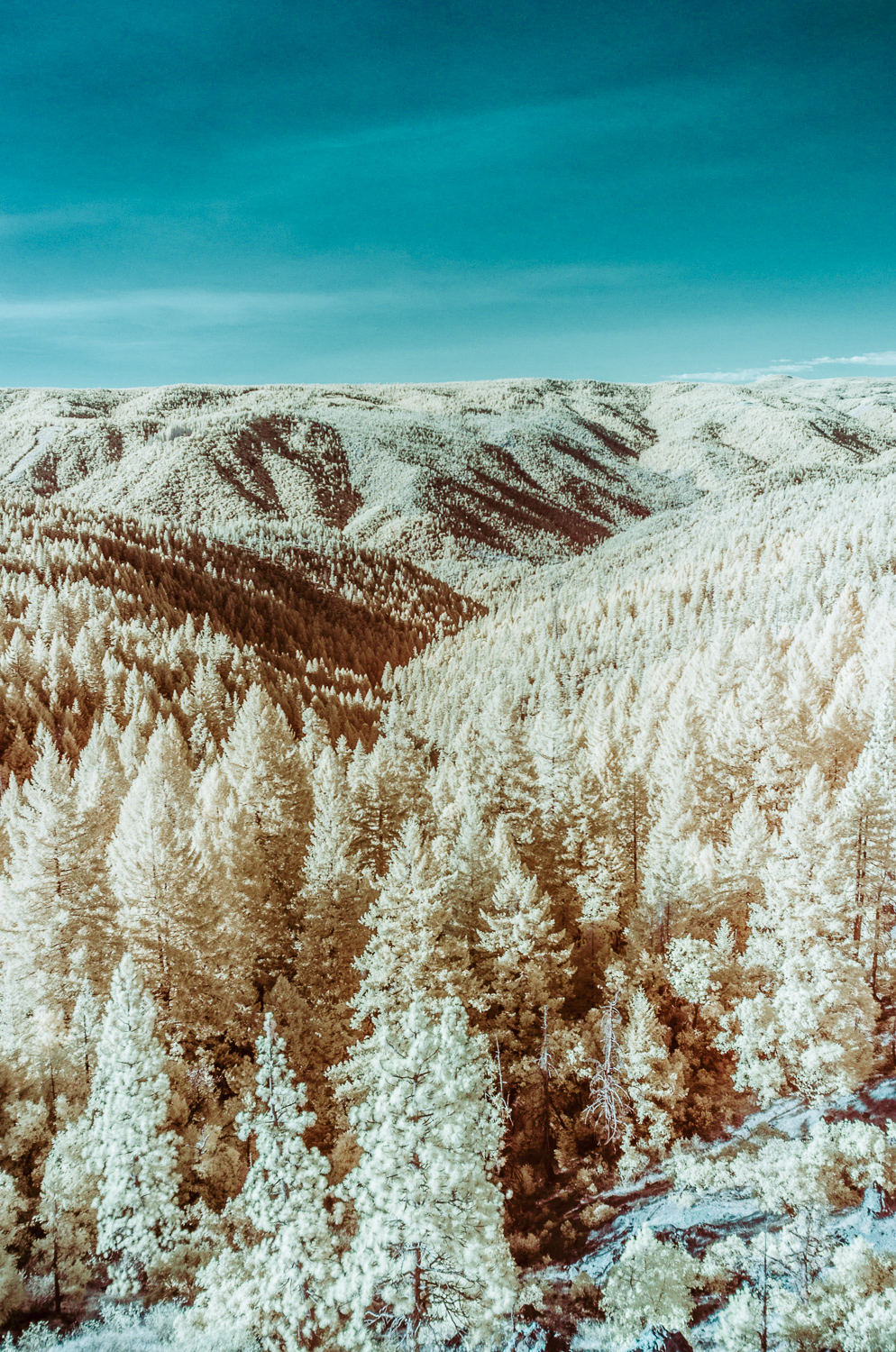
winter calm

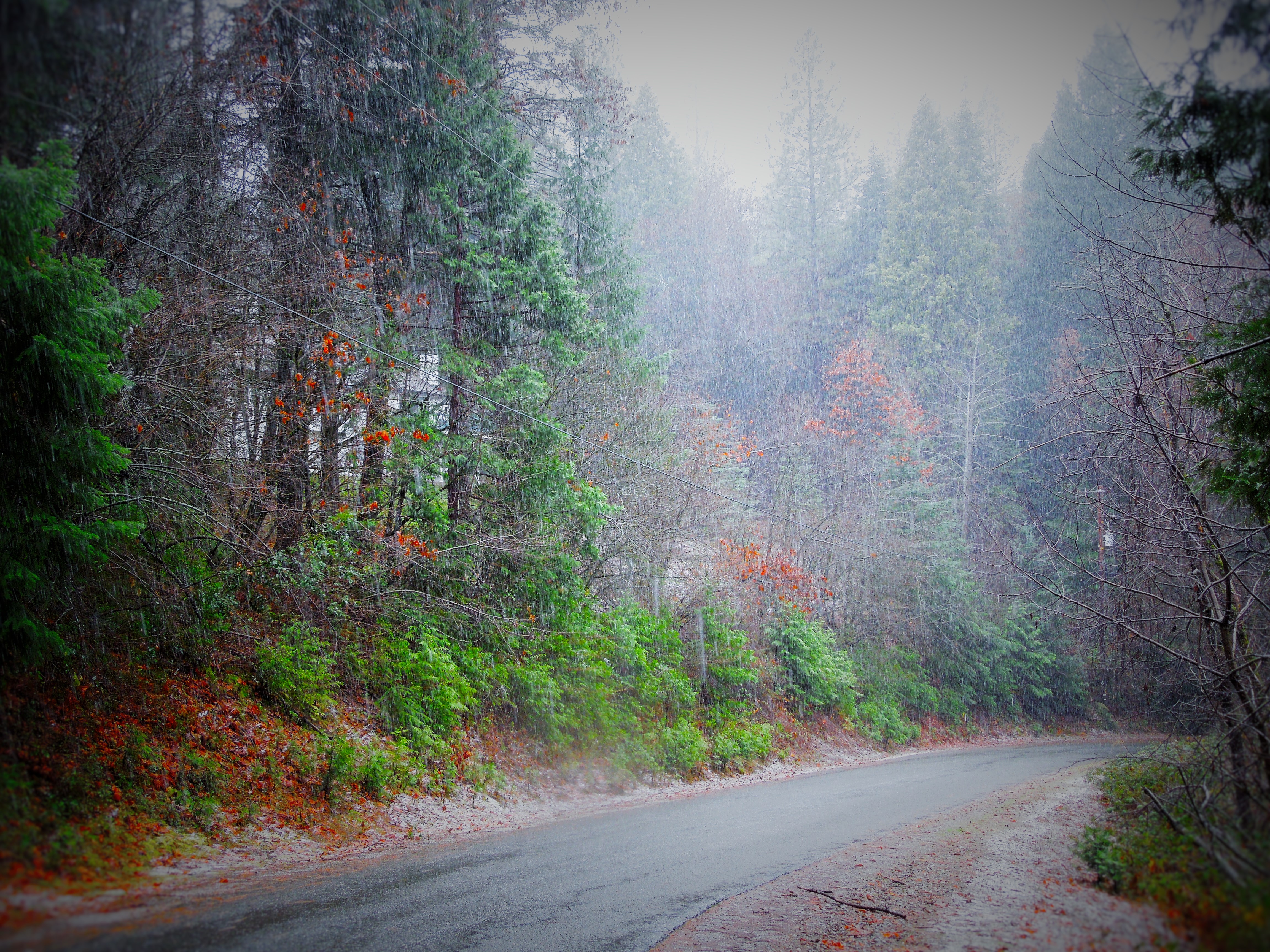
Lonely road
American Fire 08-16-13
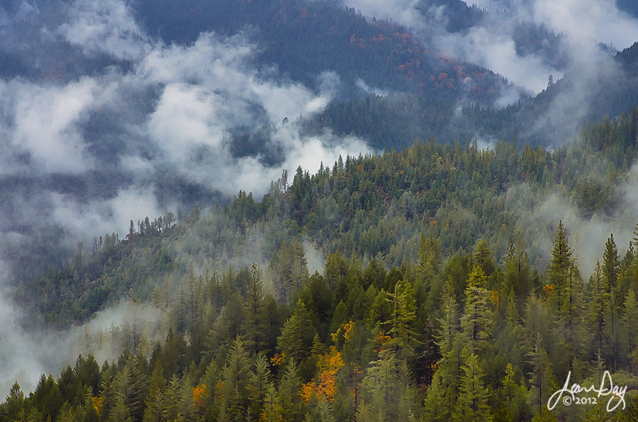
Between Rains
20170826_1534_PENTAX K-01_9437_24 mm-2
Topographic Map of Sawmill Rd, Alta, CA, USA
Find elevation by address:

Places near Sawmill Rd, Alta, CA, USA:
809 Sawmill Rd
808 Sawmill Rd
808 Sawmill Road
679 Drum Powerhouse Rd
Alta
960 Meadow Rd
Alta Bonnynook Road
5th Ave, Dutch Flat, CA, USA
E Towle Rd, Alta, CA, USA
Dutch Flat
725 Alta Reservoir Rd
34325 Canyon View Ct
Baxter
35700 Culberson Rd
35777 Culberson Rd
13498 Brady Rd
15936 Buckeye Rd
Casa Loma Rd, Alta, CA, USA
510 Kearsarge Mill Rd
Drum Forebay
Recent Searches:
- Elevation of W Granada St, Tampa, FL, USA
- Elevation of Pykes Down, Ivybridge PL21 0BY, UK
- Elevation of Jalan Senandin, Lutong, Miri, Sarawak, Malaysia
- Elevation of Bilohirs'k
- Elevation of 30 Oak Lawn Dr, Barkhamsted, CT, USA
- Elevation of Luther Road, Luther Rd, Auburn, CA, USA
- Elevation of Unnamed Road, Respublika Severnaya Osetiya — Alaniya, Russia
- Elevation of Verkhny Fiagdon, North Ossetia–Alania Republic, Russia
- Elevation of F. Viola Hiway, San Rafael, Bulacan, Philippines
- Elevation of Herbage Dr, Gulfport, MS, USA