Elevation of Savernake Street, Savernake St, Swindon SN1, UK

Location: United Kingdom > Swindon >

Longitude: -1.7847191

Latitude: 51.5550246

Elevation: 140m / 459feet

Barometric Pressure: 100KPa

Elevation Map:

elevation map of Savernake Street, Savernake St, Swindon SN1, UK

Satellite Map:

Satellite map of Savernake Street, Savernake St, Swindon SN1, UK

Related Photos:

wiltshire ridgeway westkennet avenue avebury landscape northwessexdowns aonb unesco worldheritagesite
North Wessex Downs landscape in Wiltshire
littleowl wild wildlife wiltshire
... Pocket size ...
uk sunset red england orange home countryside swindon colourful wiltshire brittain wroughton greatbrittain creativemindsphotography elcombe drewnicoll
Elcombe, Wroughton.jpg
caerphillycastle steam engine swindon museum
Caerphilly Castle
avebury aveburystones mistymorning lowsunlight frostymorning frost sunrise
Walker in The Mist
avebury stonecircle wiltshire standing stone grass field ancient english heritage nationaltrust building megalithic tree sky landscape neolithic bronzeage
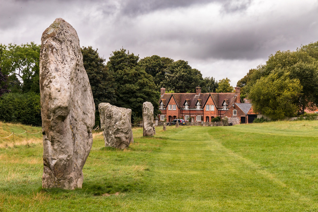
Avebury stone circle
usaf usairforce lockheed u2s dragonlady raffairford 801083 dragon02
Objects in the Rear View Mirror may appear closer than they are
fences skys posts grass blackandwhite monochrome
Fence Line to the Summit.
usaf boeing b52h buff stratofortress 610006la 96thbs2bw barksdaleafb louisiana brakechute mono monochrome bw blackwhite raffairford
Duty calls
birds wiltshire countrypark wildbirds brambling fringillamontifringilla barburycastle finchesfringillidae
Brambling (Fringilla montifringilla)
View from the hill
aveburymanor avebury nationaltrust
Avebury Manor
2018 344 riat tamron150600g2 airshow c130h east fairford hercules nikond7200 parkandview
"Guts Airline"
2018 505 c130j lockheed riat royalairforceofoman airshow east fairford hercules nikon70200f28vri nikond7200 parkandview
C-130J Hercules
2019 eav8bharrierii gardenviewingvillage harrier mcdonnelldouglas nikond500 riat spanishnavy tamron150600g2 va1b2401914 airplane airshow
EAV-8B Harrier II
buscothouse oxfordshire water fountain statue pond stream lake nationaltrust grass view nikon d500
Buscot House Garden
dawn daybreak sunrise sky sun silhouettes trees church spire swindon wilts wiltshire uk january 2017 stevemaskell
Break of Day
usaf b52h aero72 610015 thelastlaugh 2bw 96bs raffairford barksdaleafb
Comin' at ya!
2018 f16am generaldynamics j879 polly22 riat royalnetherlandsairforce tamron150600g2 airshow east fairford nikond7200 parkandview
RNAF F-16
wiltshire landscape unesco worldheritagesite footpath trail field barley cowparsley fence hedge tree aonb northwessex
UNESCO World Heritage landscape
uffington sun fisheye sky blue oxfordshie view clouds nikon d500
The Sky through a Fisheye
swindon wiltshire uk january 2017 winter landscape panorama ridgeway stevemaskell cloudscape
From the Ridgeway
avebury wiltshire uk sunset standing stone prehistoric site andreapucci
Le pietre misteriose / The mysterious stones (Avebury, Wiltshire, United Kingdom)
devilsden dolmen burialchamber archaeology antiquity landscape wiltshire
Devil's Den dolmen
wiltshire landscape northwessex aonb convergence leadinglines vanishingpoint byway field barley tree worldheritagesite avebury barrow pastoral unesco
Convergence on a Wiltshire Byway
barley grass flower awn rape field wiltshire landscape sky northwessex aonb
Partly barley
ridgeway longdistancefootpath avebury wiltshire tourism leisure walking route landscape northwessex downs aonb
Ridgeway footpath
harvest line pattern
Birds with hay bales in the farm.
devilsden dolmen burialchamber remains entrance doorway archaeology antiquity farmland landscape building barn field grass tree sky fyfielddown marlborough wiltshire
Devil's Den doorway to the past
june 2020 flickr estrellas swindon wilts wiltshire storm stormy aftermath weather colour color hill hills landscape thunder lightning nikon z6 samyang 14mm clouds cloud cloudy wet best ngc barbury hackpen photo photograph meaning rain awesome flickrestrellas nuclear chippenham mushroom burst light stormscape
Nuclear Storm
avebury stone circle neolithic monument
Avebury Stone.jpg
westkennetavenue avebury sigma35mmf14dghsmart pentaxk3ii petermiles petermiles neolithic
'The Avenue at Dusk' (see description)
summer fineweather cattle animals grazing grass field fyfield downs landscape wiltshire tree
A fine day for grazing
barley cereal crop field farming burial barrow chamber tree wiltshire avebury landscape aonb northwessexdowns worldheritagesite unesco
Field of barley
tumulus barrow burial mound copse tree beech field landscape unesco worldheritagesite track fence gate hdr
Tumuli beech tree copses
dolmen burial fyfield marlborough down wiltshire landscape field grass earth fence sky tree rock stone archaeology ancient
The Devil's Den
westkennet avenue unesco worldheritagesite standingstone ancient wiltshire landscape northwessexdowns aonb grass field buttercup flower
West Kennet Avenue
avebury stone circle henge neolithic mesolithic bronzeage prehistoric archaeology wiltshire grass field tree sky landscape ceremonial unesco worldheritagesite
Avebury Henge and Stone Circles
tumulus burialmound trees ridgeway avebury unesco worldheritage aonb northwessexdowns wiltshire england history archaeology farmland maize corn field grass landscape sky
The dark side of the tumulus
uk winter panorama ice sunshine composite clouds landscape sony swindon january farmland fields wiltshire z1 stevemaskell 2016 wilts xperia
Clouds and sunshine
wiltshire avebury down waden hill landscape northwessexdowns aonb track trail farmland grass oilseedrape
Track from Avebury Down to Waden Hill