Elevation of Savelugu, Ghana
Location: Ghana > Northern Region >
Longitude: -0.8246386
Latitude: 9.6164557
Elevation: 169m / 554feet
Barometric Pressure: 99KPa
Elevation Map:
Satellite Map:
Related Photos:


CAN YOU SEE ME? Gloria, 17
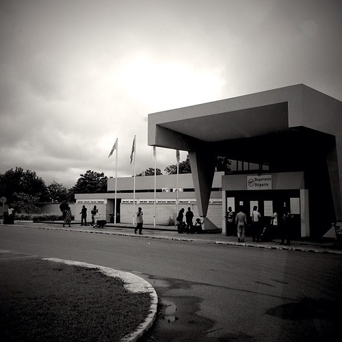
Tamale, Ghana

tamale-ghana_36673976832_o
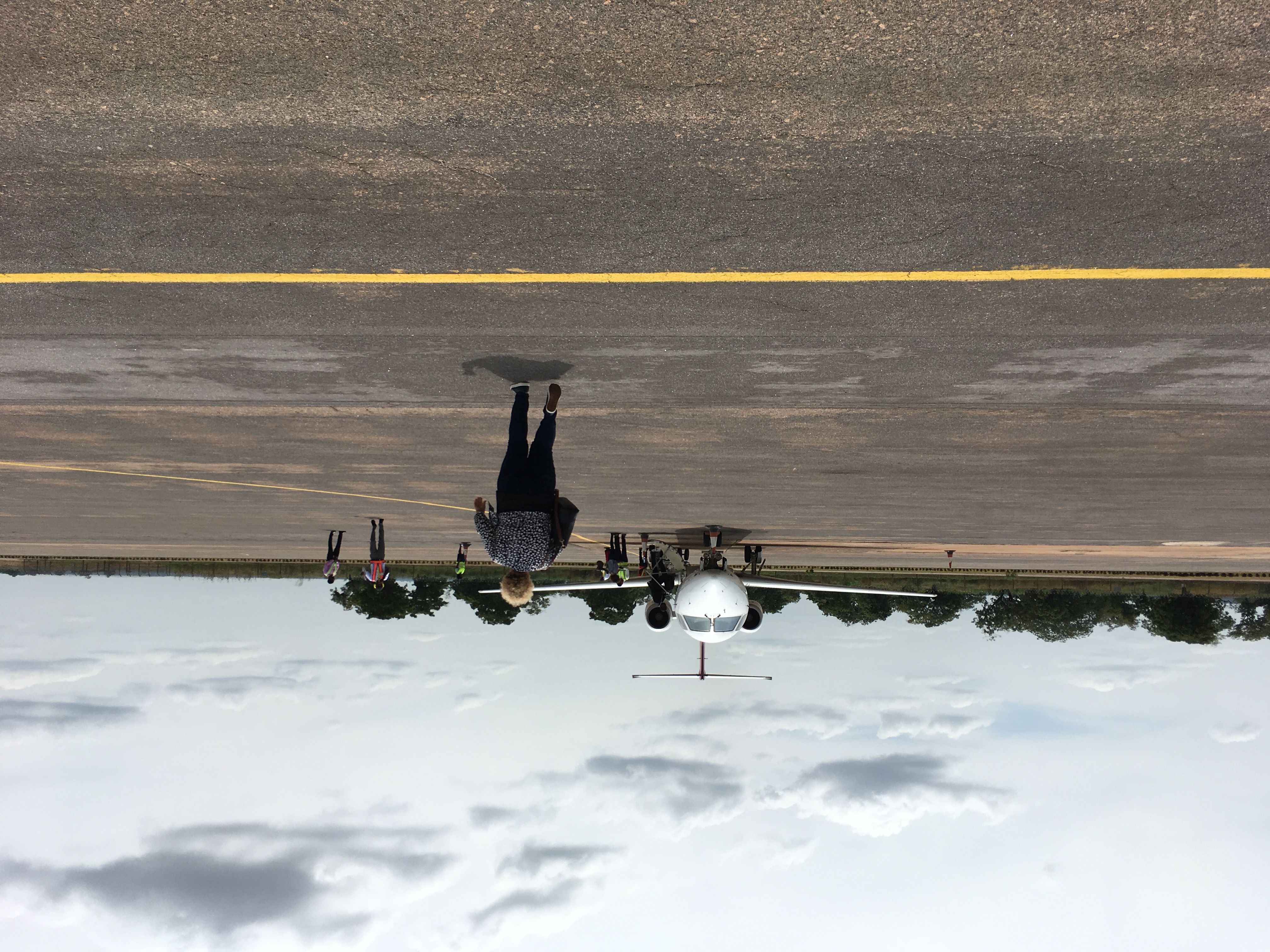
Tamale Airport #Ghana
Topographic Map of Savelugu, Ghana
Find elevation by address:

Places near Savelugu, Ghana:
Northern Region
Zagyuri Community, Tamale
Tolon
Tamale
Nyankpala
Tamale Municipal
Tolon
Central Gonja
Yendi
Yendi
Nanumba North
East Gonja
Recent Searches:
- Elevation of Crystal Cir, Birmingham, AL, USA
- Elevation of N Railroad Ave, West Palm Beach, FL, USA
- Elevation of 55 Cassick Valley Rd, Wellfleet, MA, USA
- Elevation of Ironwood Dr, Minden, NV, USA
- Elevation of 高尾山口駅, Takaomachi, Hachioji, Tokyo -, Japan
- Elevation of 15 Victory Ave, Greenville, SC, USA
- Elevation of Kota Ternate Utara, Ternate City, North Maluku, Indonesia
- Elevation of Allon St, Oceanside, NY, USA
- Elevation of Carroll Creek Rd, Custer, SD, USA
- Elevation of Lust Road, Lust Rd, Florida, USA