Elevation of Sauran, Kazakhstan
Location: Kazakhstan > South Kazakhstan Region > Turkestan >
Longitude: 67.9268161
Latitude: 43.4350199
Elevation: 214m / 702feet
Barometric Pressure: 99KPa
Elevation Map:
Satellite Map:
Related Photos:

Sauran Fortress, KZ
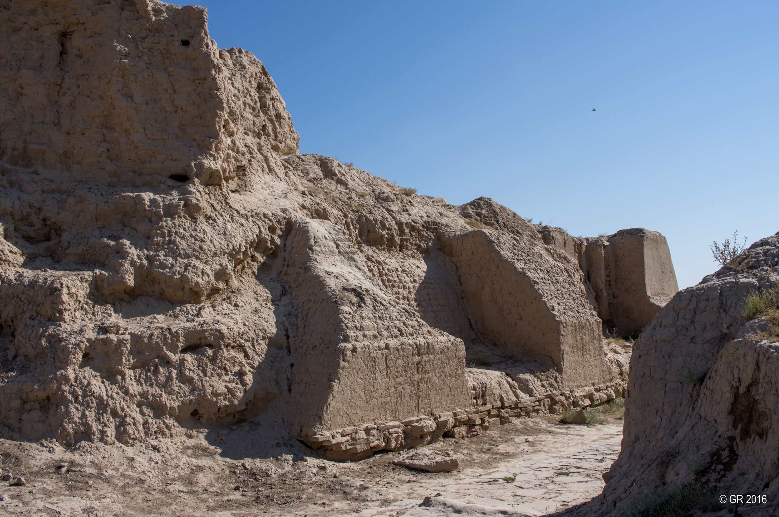
Sauran Fortress, KZ

Sauran Fortress, KZ

Sauran Fortress, KZ

Sauran Fortress, KZ

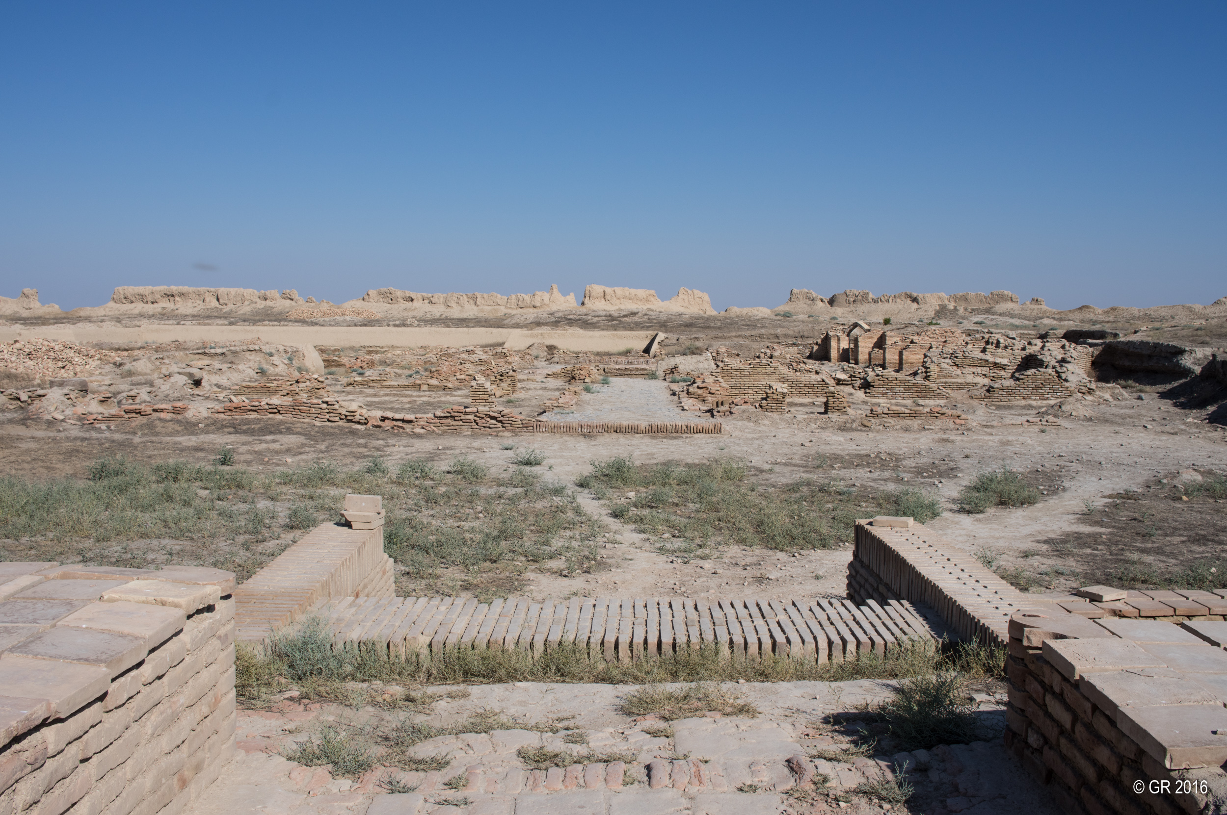
Kazakhstan: Sauran, Former capital of the Mongol White Horde on the Silkroad

Kazakhstan: Sauran, Former capital of the Mongol White Horde on the Silkroad
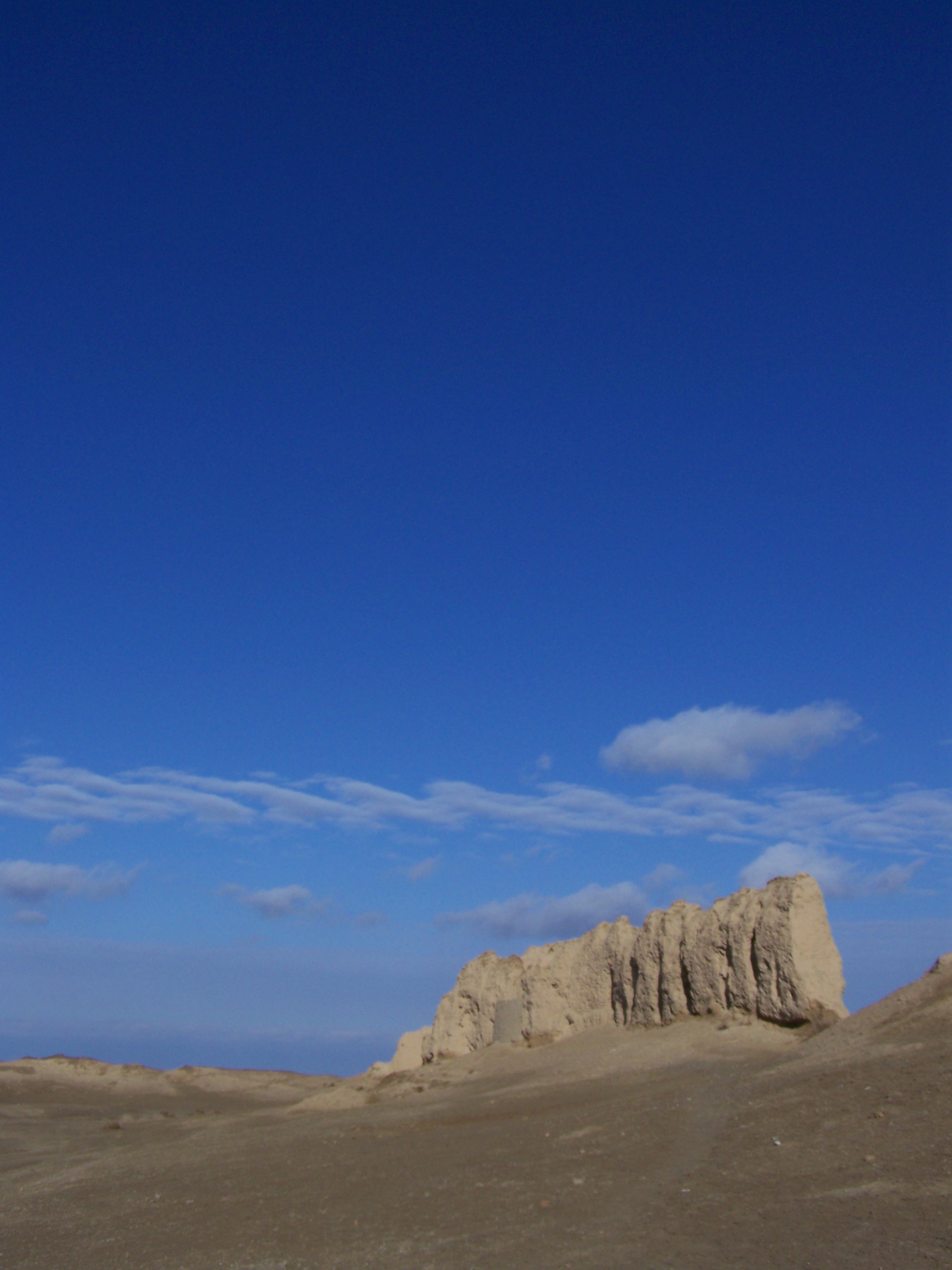
Sauran Fortress, KZ

Sauran Fortress, KZ

Sauran Fortress, KZ
Walls of Sauran
Topographic Map of Sauran, Kazakhstan
Find elevation by address:

Places near Sauran, Kazakhstan:
Recent Searches:
- Elevation of Leyte Industrial Development Estate, Isabel, Leyte, Philippines
- Elevation of W Granada St, Tampa, FL, USA
- Elevation of Pykes Down, Ivybridge PL21 0BY, UK
- Elevation of Jalan Senandin, Lutong, Miri, Sarawak, Malaysia
- Elevation of Bilohirs'k
- Elevation of 30 Oak Lawn Dr, Barkhamsted, CT, USA
- Elevation of Luther Road, Luther Rd, Auburn, CA, USA
- Elevation of Unnamed Road, Respublika Severnaya Osetiya — Alaniya, Russia
- Elevation of Verkhny Fiagdon, North Ossetia–Alania Republic, Russia
- Elevation of F. Viola Hiway, San Rafael, Bulacan, Philippines