Elevation of Sargazon, Tajikistan
Location: Tajikistan > Khatlon Province > Danghara >
Longitude: 69.2847735
Latitude: 38.06004
Elevation: -10000m / -32808feet
Barometric Pressure: 295KPa
Elevation Map:
Satellite Map:
Related Photos:

ein Flüßchen bringt etwas Wasser
bei Sangtuda

salziger Wasserlauf

staubige Ebene

Viehtrieb auf der Hauptstraße

Walking Bushes

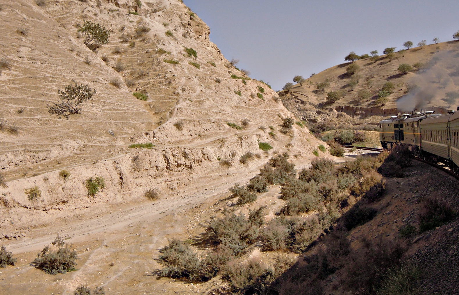
Hier läuft die Bahn ein Stück parallel zur Fernstraße
Topographic Map of Sargazon, Tajikistan
Find elevation by address:

Places near Sargazon, Tajikistan:
Danghara
Sangtuda
Norak
Nurek Dam
Nurek
Yavan
Iski-guzar
Muminobod
Langar
Zarafshan Range
Districts Of Republican Subordination
Recent Searches:
- Elevation of Congressional Dr, Stevensville, MD, USA
- Elevation of Bellview Rd, McLean, VA, USA
- Elevation of Stage Island Rd, Chatham, MA, USA
- Elevation of Shibuya Scramble Crossing, 21 Udagawacho, Shibuya City, Tokyo -, Japan
- Elevation of Jadagoniai, Kaunas District Municipality, Lithuania
- Elevation of Pagonija rock, Kranto 7-oji g. 8"N, Kaunas, Lithuania
- Elevation of Co Rd 87, Jamestown, CO, USA
- Elevation of Tenjo, Cundinamarca, Colombia
- Elevation of Côte-des-Neiges, Montreal, QC H4A 3J6, Canada
- Elevation of Bobcat Dr, Helena, MT, USA