Elevation of Sarchapet, Armenia
Location: Armenia >
Longitude: 44.3805895
Latitude: 41.1960151
Elevation: 1700m / 5577feet
Barometric Pressure: 82KPa
Elevation Map:
Satellite Map:
Related Photos:

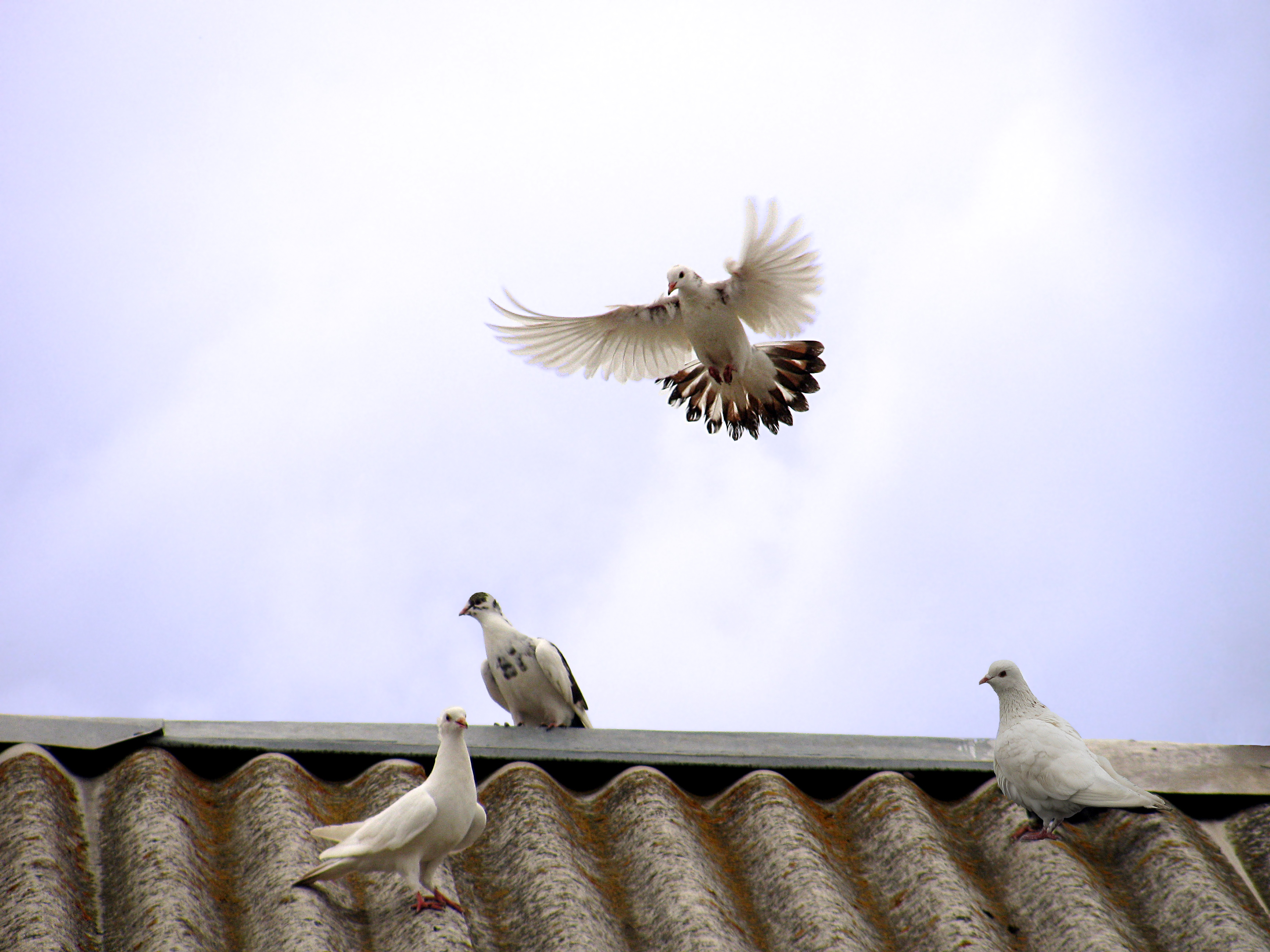
Ласточки / Swallows / მერცხლები / Ձեռքերով

Sleeping place
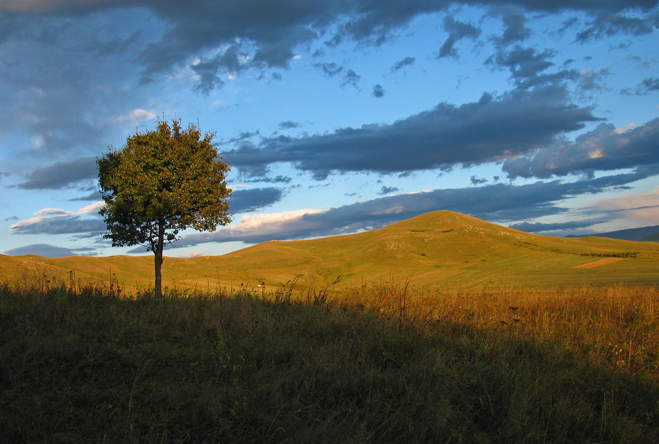
Almost autumn

tashir (4)

tashir (3)
tashir (2)

tashir (5)
Good bye!!!

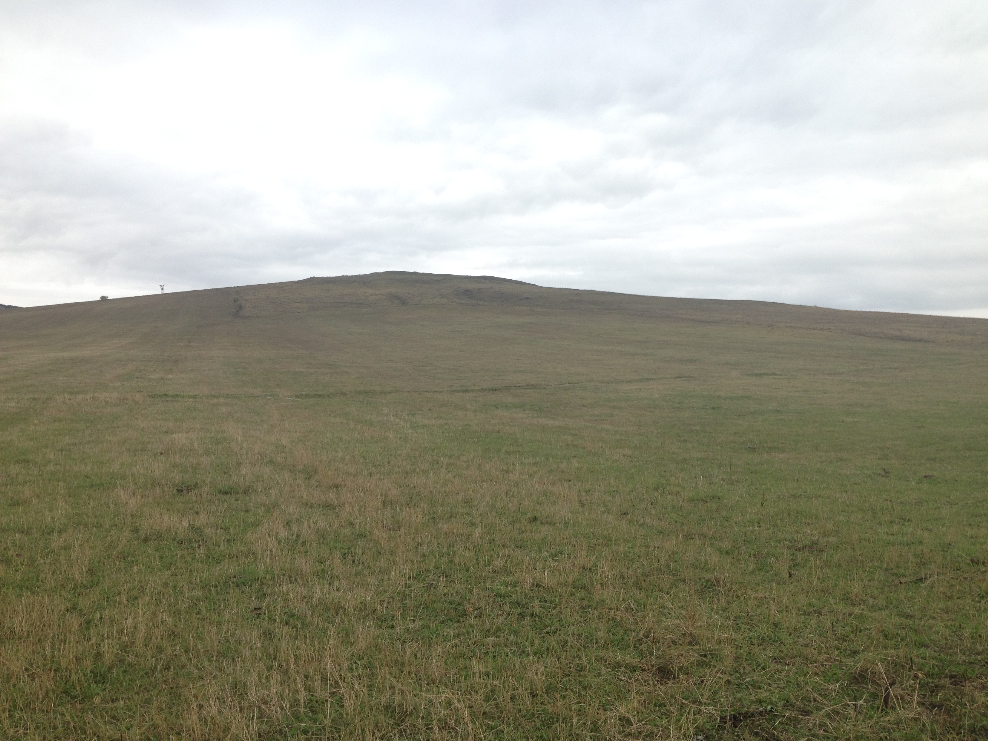
First town in Armenia

IMG_6666.jpg
Topographic Map of Sarchapet, Armenia
Find elevation by address:

Places near Sarchapet, Armenia:
Apaven
Lernahovit
Petrovka
Kazreti
Alaverdi
Aygehat
Bolnisi
Dzoraget
Dsegh
Vahagni
Chkalov
Trchkan Waterfall
Neghots
Kvemo Kartli
Vanadzor
Bagratashen
Shnogh
Ptghavan
Karkop
Marneuli
Recent Searches:
- Elevation of Holloway Ave, San Francisco, CA, USA
- Elevation of Norfolk, NY, USA
- Elevation of - San Marcos Pass Rd, Santa Barbara, CA, USA
- Elevation of th Pl SE, Issaquah, WA, USA
- Elevation of 82- D Rd, Captain Cook, HI, USA
- Elevation of Harlow CM20 2PR, UK
- Elevation of Shenyang Agricultural University, Dong Ling Lu, Shen He Qu, Shen Yang Shi, Liao Ning Sheng, China
- Elevation of Alpha Dr, Melbourne, FL, USA
- Elevation of Hiroshima University, 1-chōme-3-2 Kagamiyama, Higashihiroshima, Hiroshima -, Japan
- Elevation of Bernina Dr, Lake Arrowhead, CA, USA