Elevation map of Sarangani, Philippines
Location: Philippines > Region Xii >
Longitude: 124.994751
Latitude: 5.9267175
Elevation: 625m / 2051feet
Barometric Pressure: 94KPa
Elevation Map:
Satellite Map:
Related Photos:
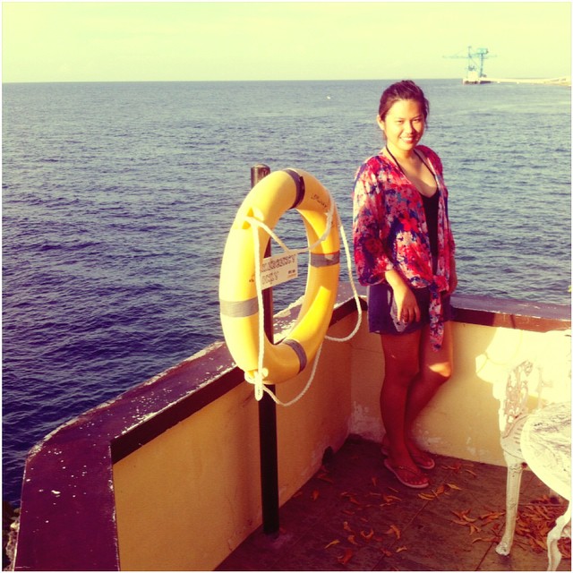
Current View! ???? Beachin early in the morningg! ????????⛵️summerEnder :) #GenSanLakwatsa #8thForSummer2015
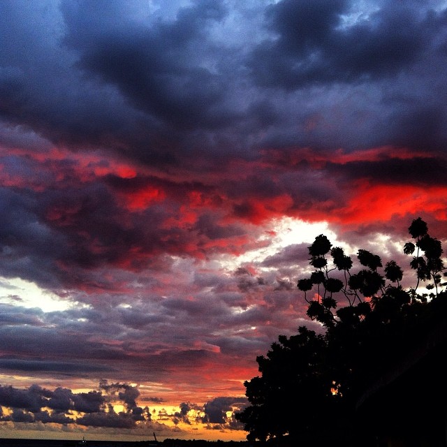
Day 48. A great sunset to cap a great day with the family. #100happydays
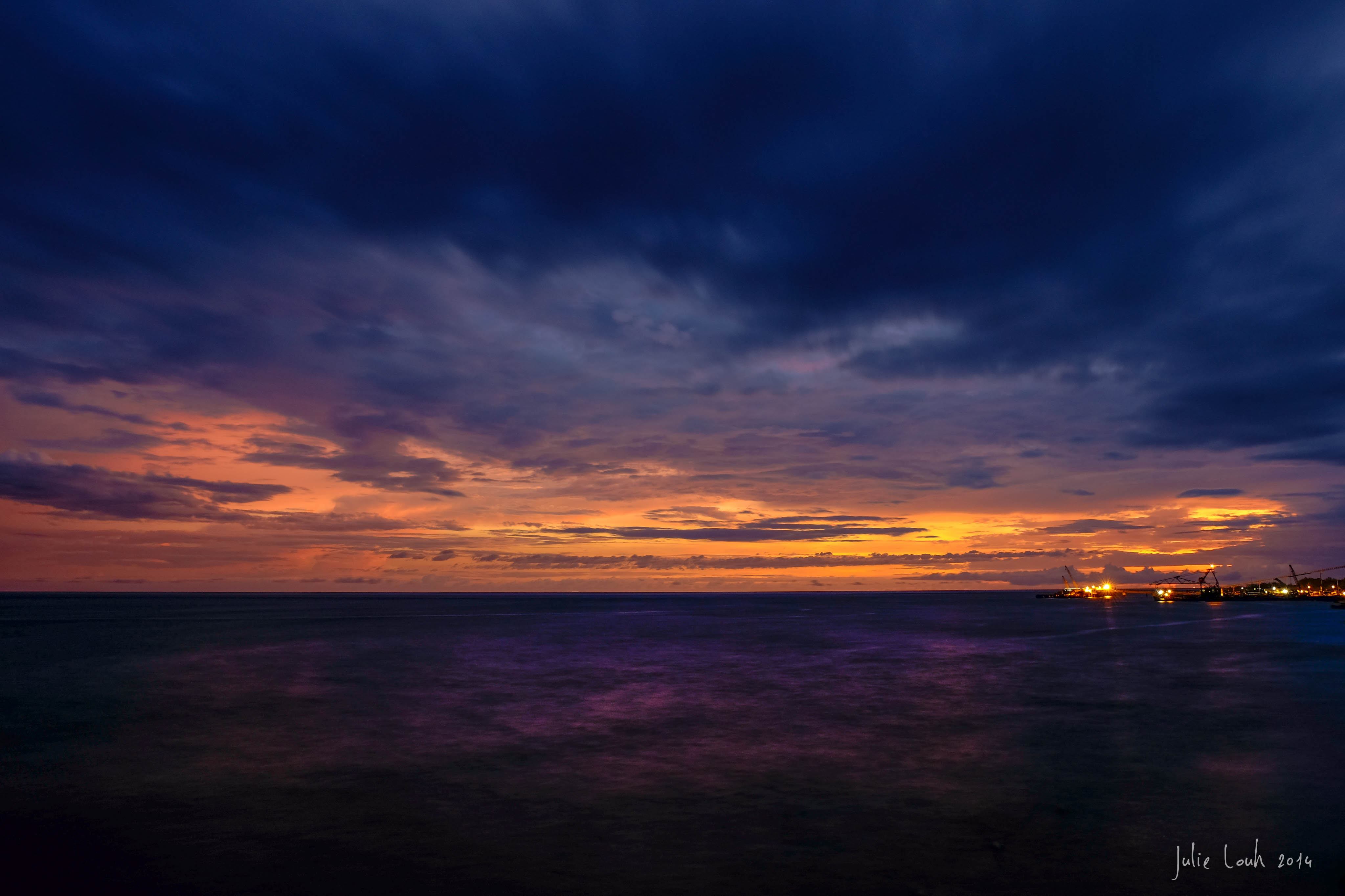
Sarangani Bay
Birds churping, the smell of the salty sea air, the sound of the gentle ocean waves, a dragon fruit shake in my left hand while checking emails from my iPhone 6 in my right hand--this is the #SmartLife.
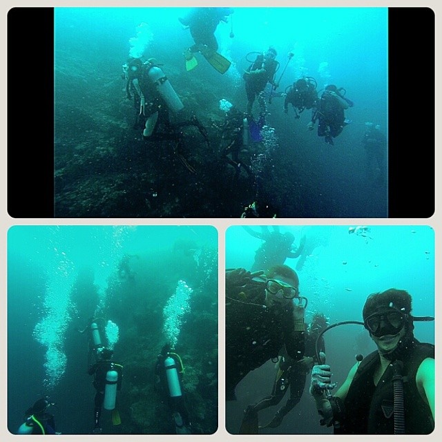
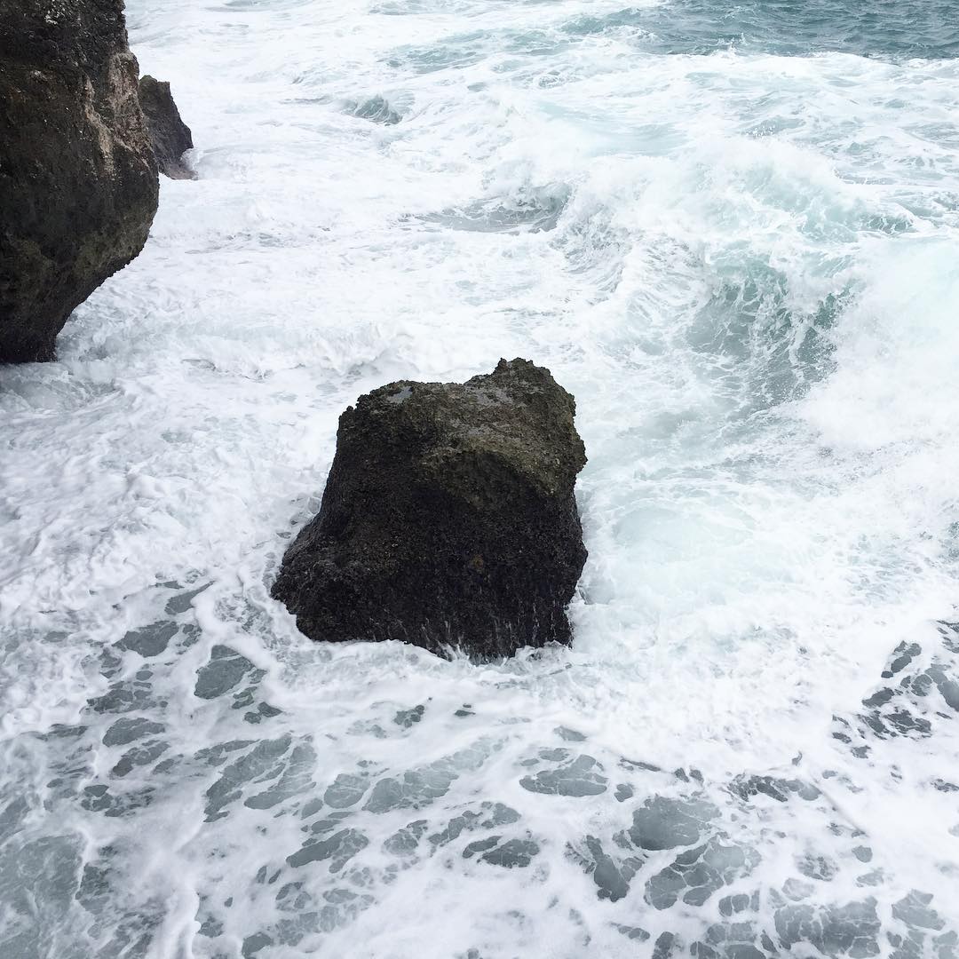
Imagine having 12 scuba divers underwater at the same time #foamparty #boxing #royalrumble #rumble #scuba #underwater #adventure #diving
Topographic Map of Sarangani, Philippines
Find elevation by address:

Places in Sarangani, Philippines:
Places near Sarangani, Philippines:
Maasim
Siguel
Barangay Bawing
Mount Melibengoy
Parker Volcano
Calumpang
Dole Calumpang
Polomolok
Pagalungan Barangay Hall
Dole Philippines Incorporated
Purok Paraiso
Cannery Site
Divine Mercy Shrine
Derilon
Landan
Tupi
Lamsugod
Mount Matutum
Mount Matutum
Surallah
Recent Searches:
- Elevation of Corso Fratelli Cairoli, 35, Macerata MC, Italy
- Elevation of Tallevast Rd, Sarasota, FL, USA
- Elevation of 4th St E, Sonoma, CA, USA
- Elevation of Black Hollow Rd, Pennsdale, PA, USA
- Elevation of Oakland Ave, Williamsport, PA, USA
- Elevation of Pedrógão Grande, Portugal
- Elevation of Klee Dr, Martinsburg, WV, USA
- Elevation of Via Roma, Pieranica CR, Italy
- Elevation of Tavkvetili Mountain, Georgia
- Elevation of Hartfords Bluff Cir, Mt Pleasant, SC, USA