Elevation of Sarah Annie Dr, Johnson City, TN, USA
Location: United States > Tennessee > Washington County > Johnson City >
Longitude: -82.263760
Latitude: 36.264503
Elevation: 652m / 2139feet
Barometric Pressure: 94KPa
Elevation Map:
Satellite Map:
Related Photos:
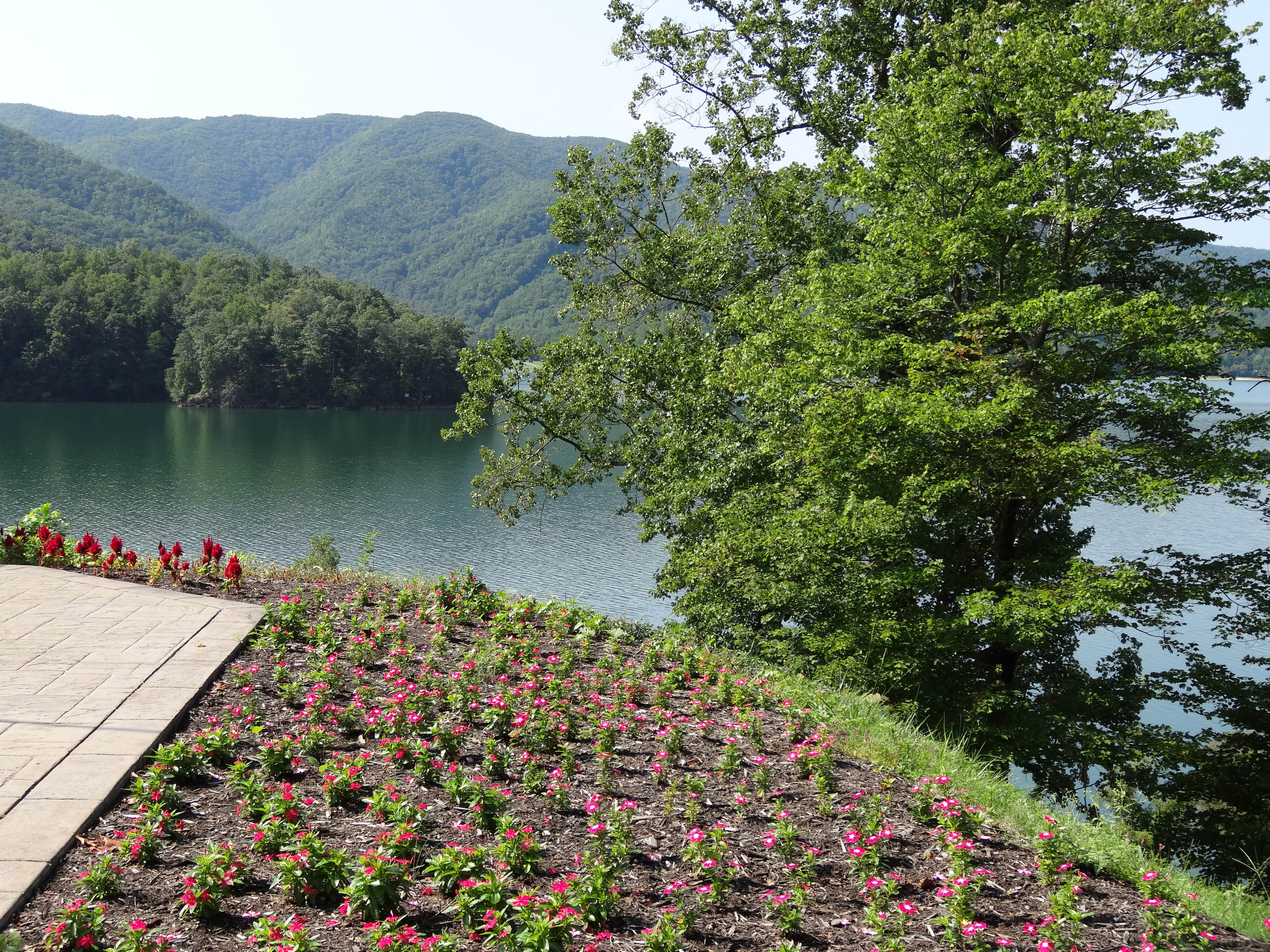
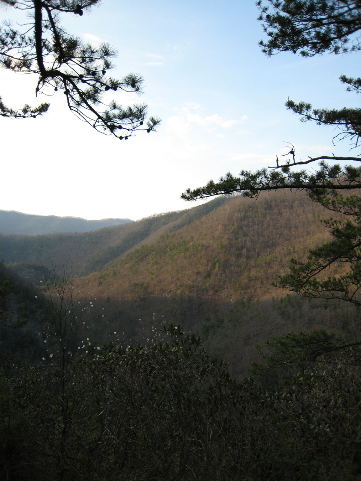
Watauga Lake, Carter County, TN
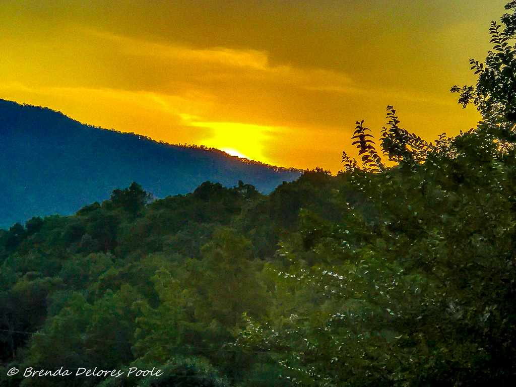
Buffalo Mountain Sunset_-1643-Edit

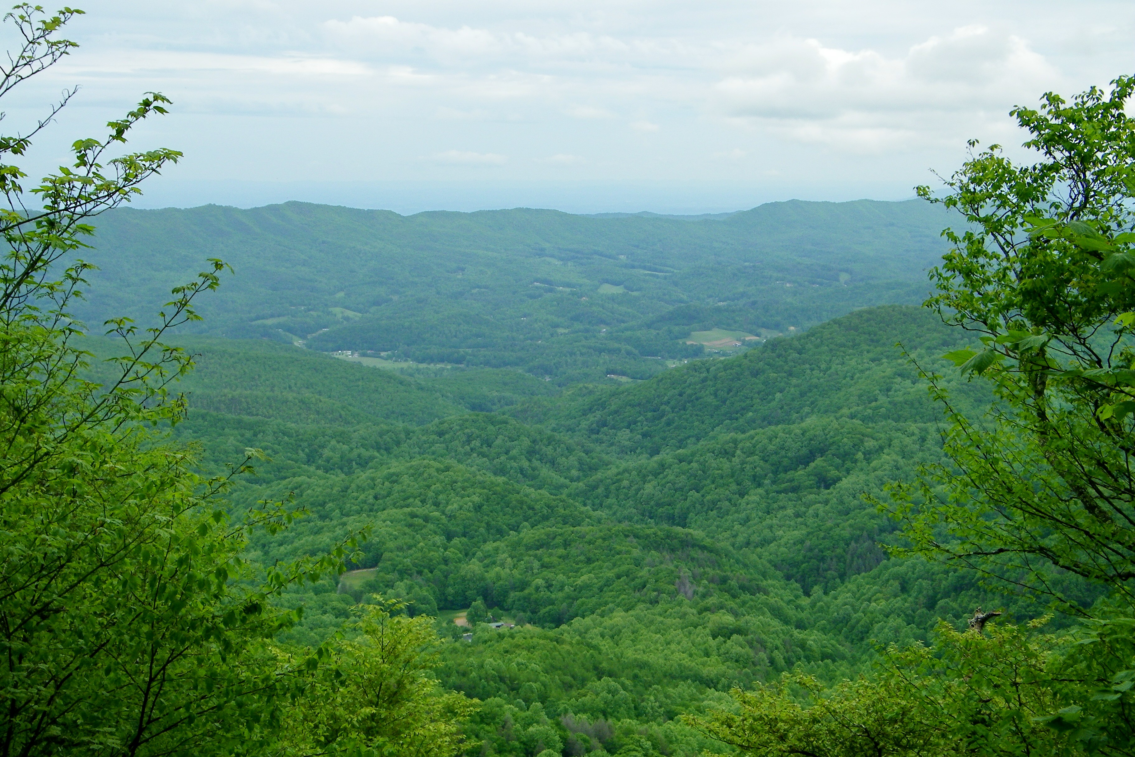
My view - what are you looking at right now?
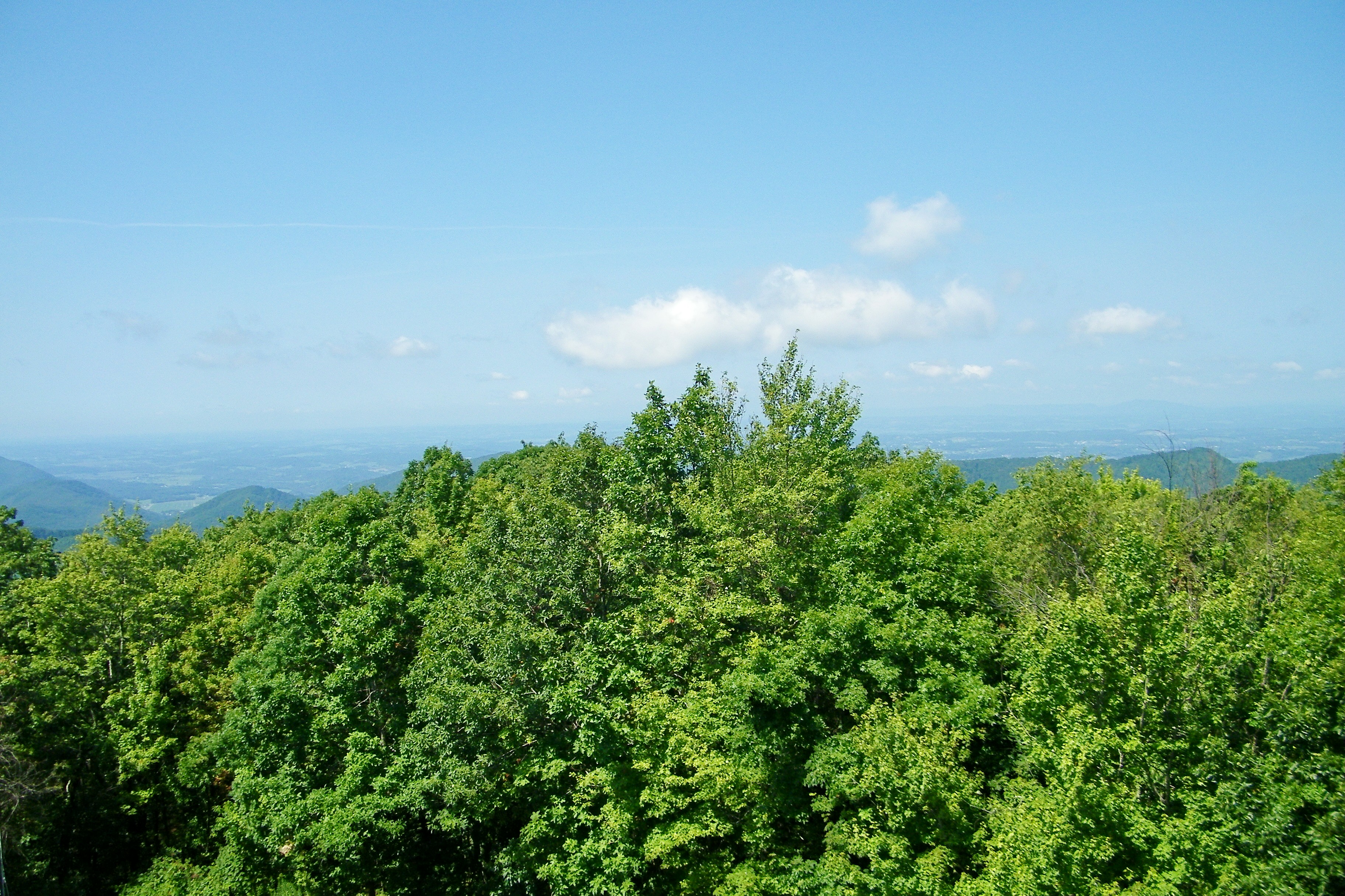
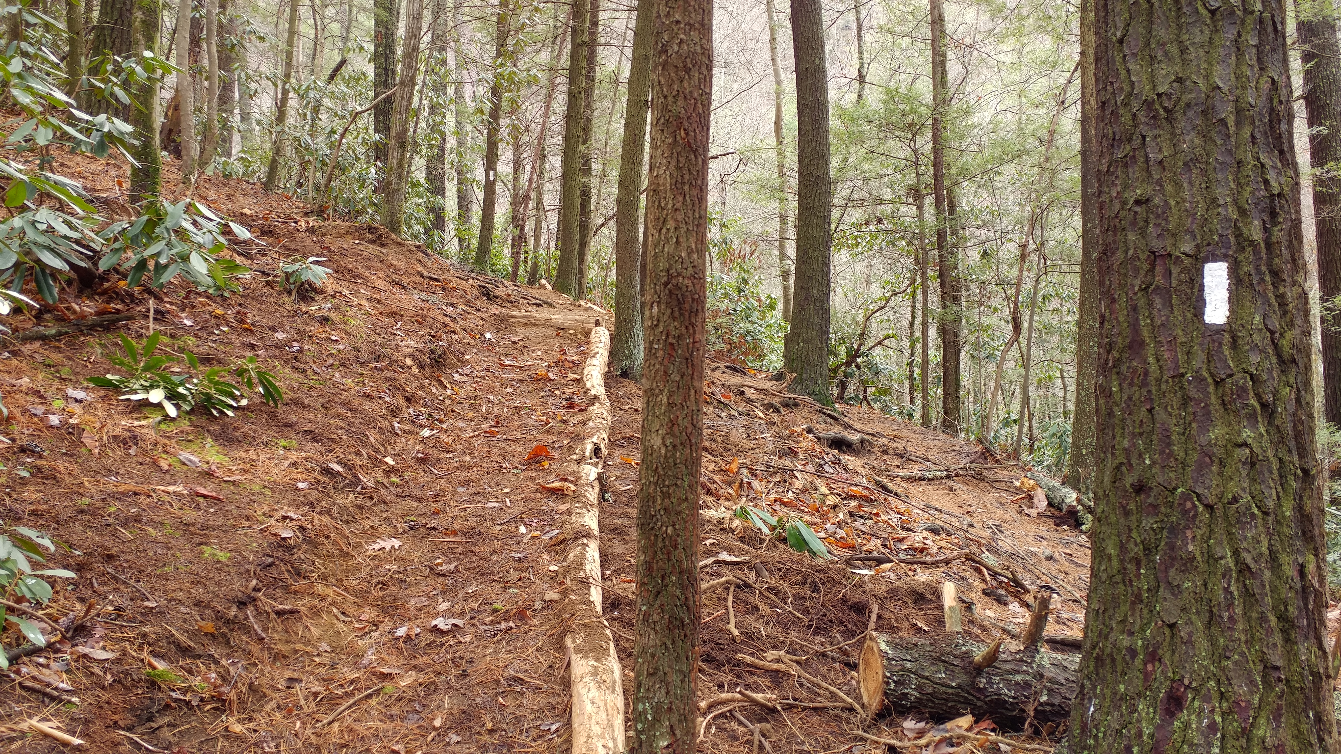
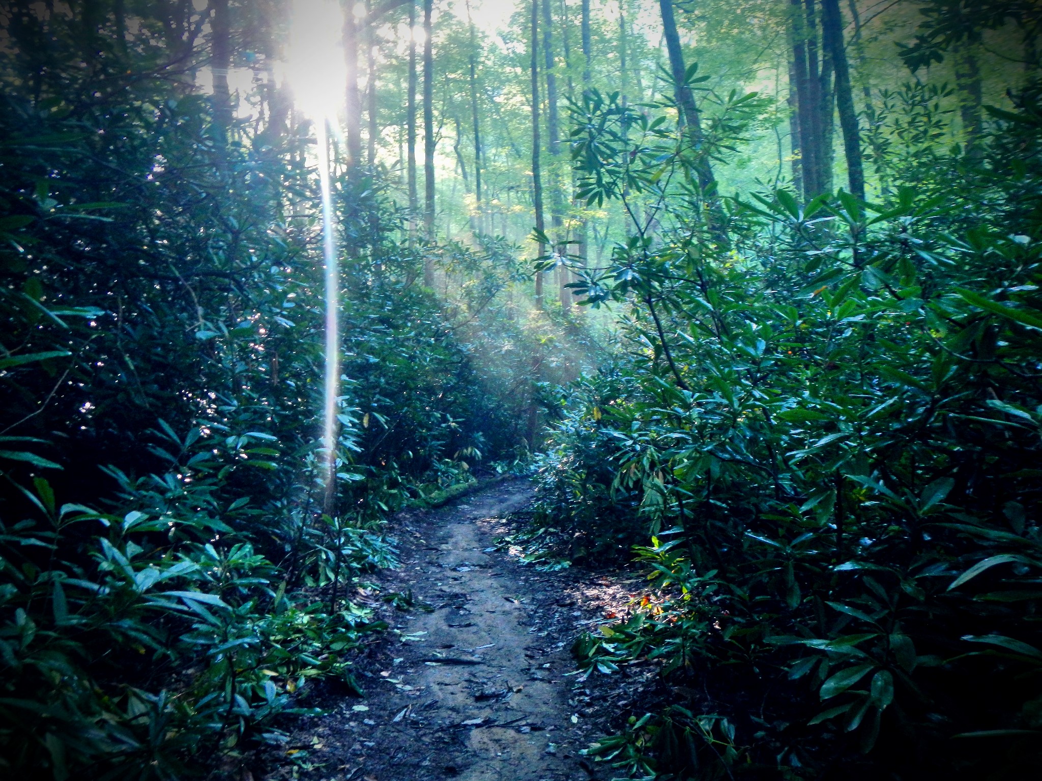
Appalachian Trail

203 walking down path to parking lot

Buffalo Pano

Pinnacle Mountain Fire Tower HDR Panorama
Pinnacle Mountain Lookout Tower

2013.12.27 125K Views

201 Claire on the trail

195 Trail to top of hill at rest stop in Tennessee
Scenic View #2

Little Star!
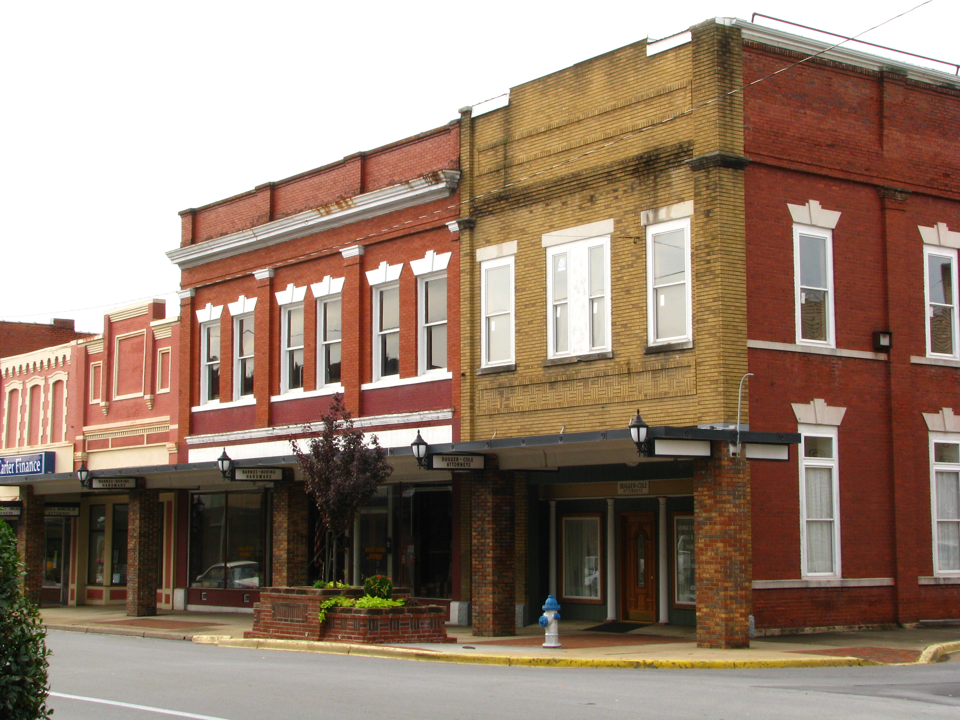
Storefronts of Historic Elizabethton - Barnes Boring Hardware
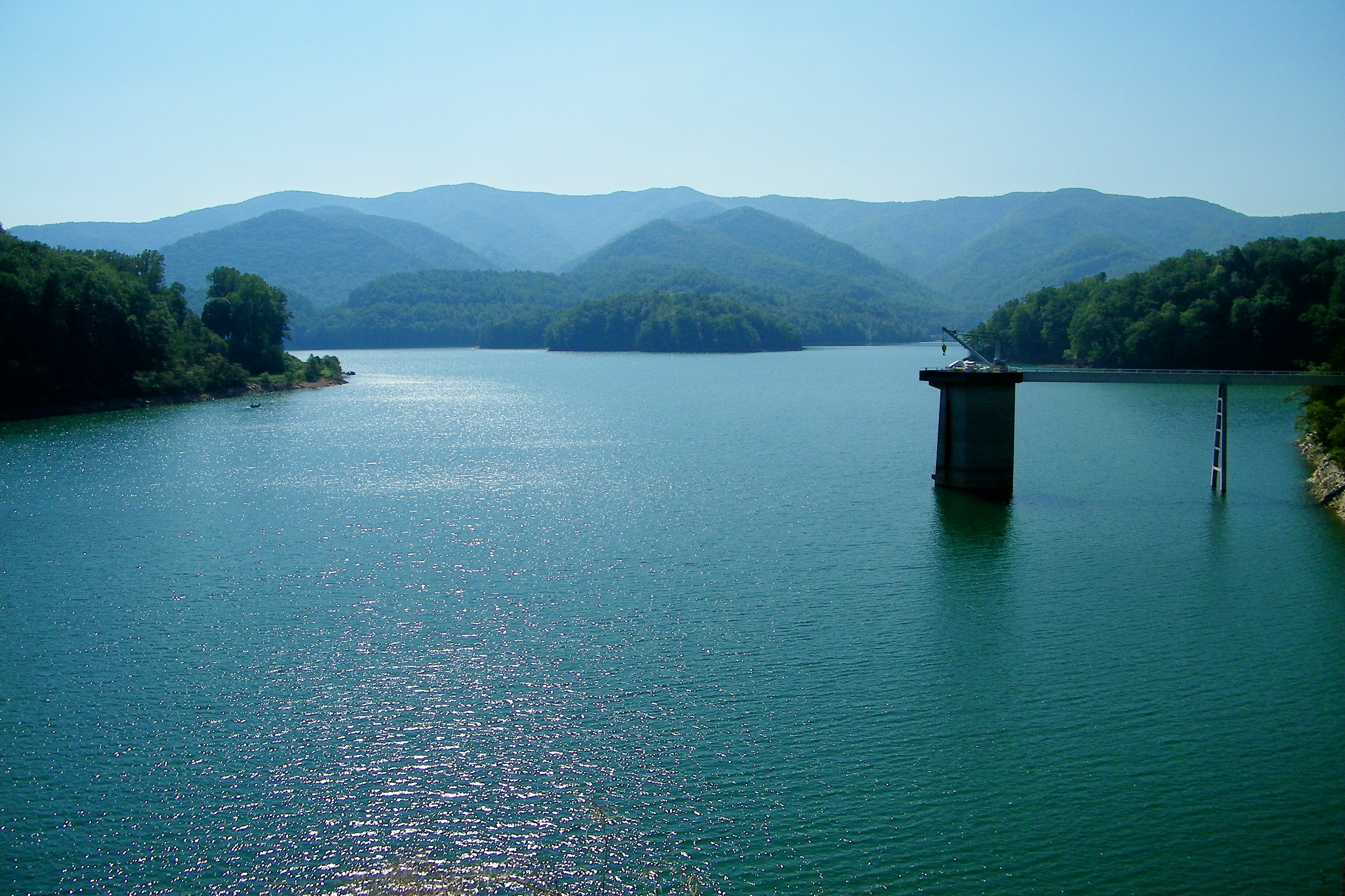
Watauga Lake
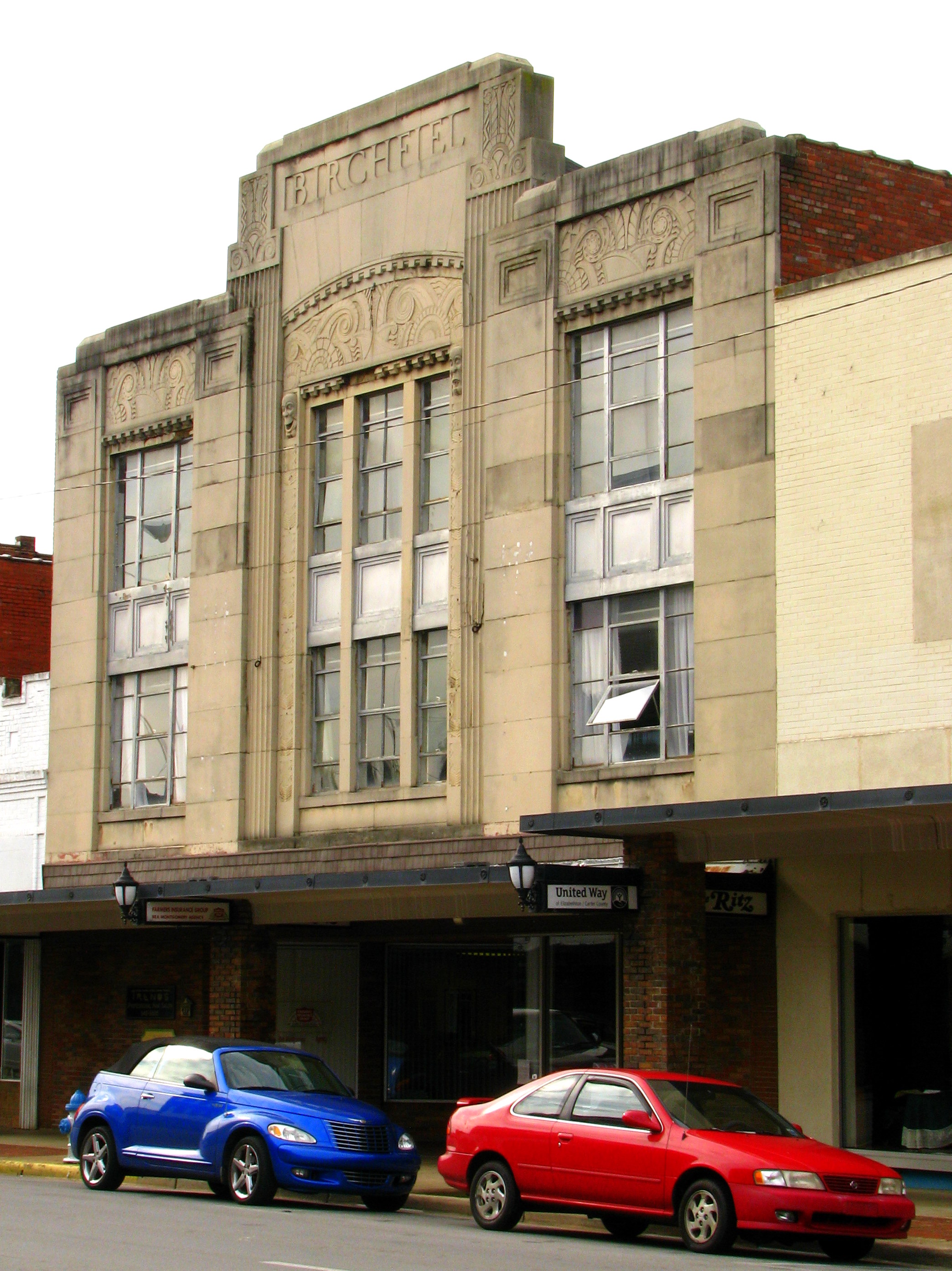
Birchfiel Building (Ritz Theater)

myspace 022

Watauga Lake, Carter County, TN

IMG_5044- Lake Watauga- view across to Shook Branch
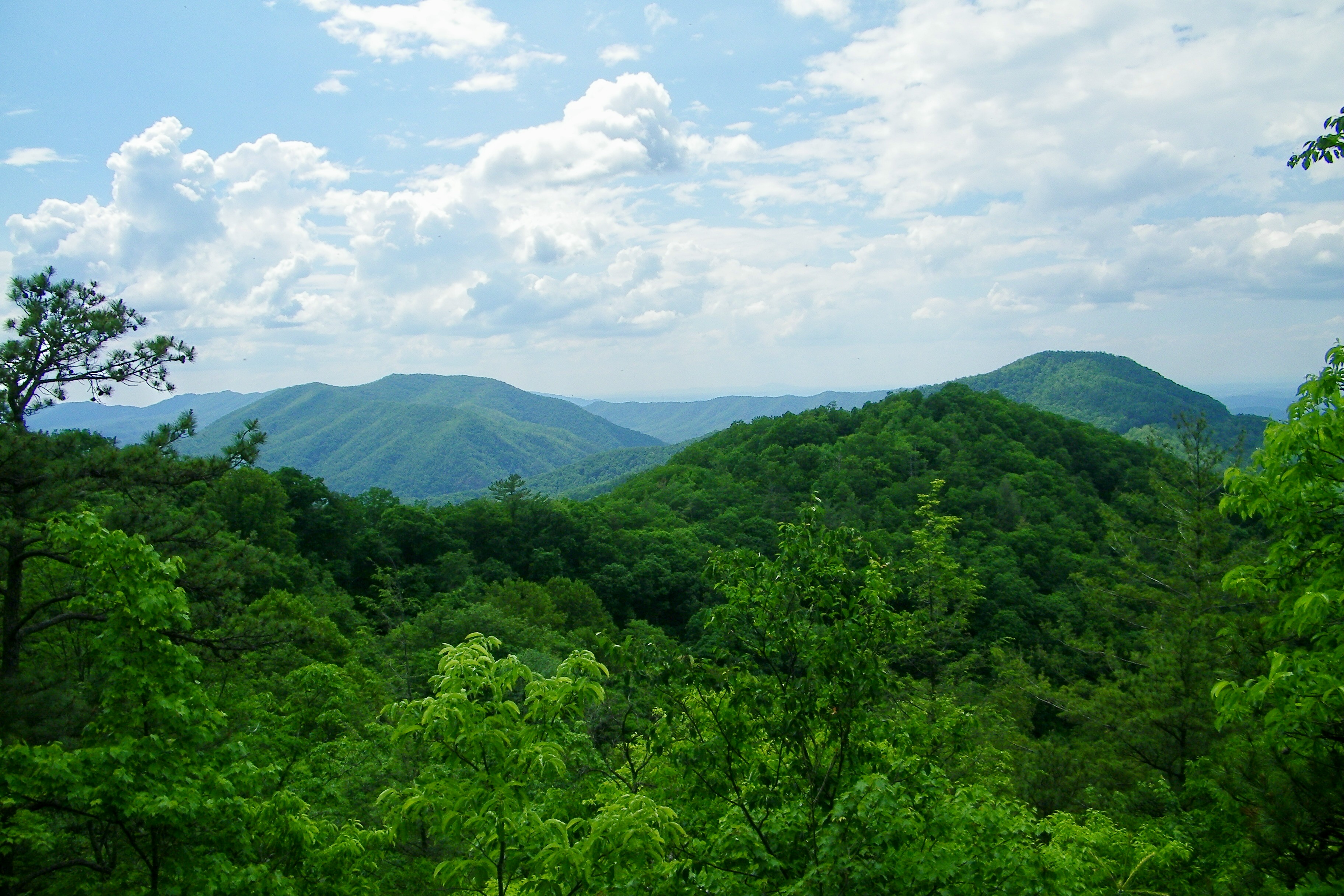
Appalachian Trail

My view today

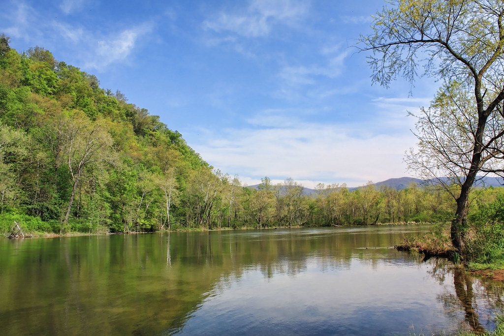
Watauga Lake
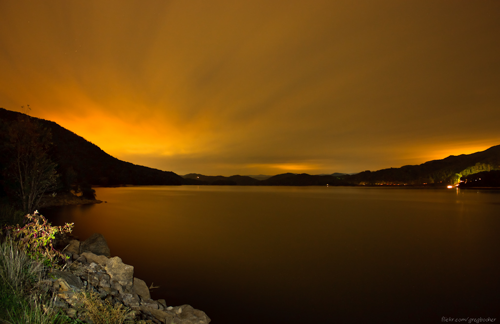
Watauga Lake at Night

Pine Oaks Golf Course

Doe River Covered Bridge

Racing Water
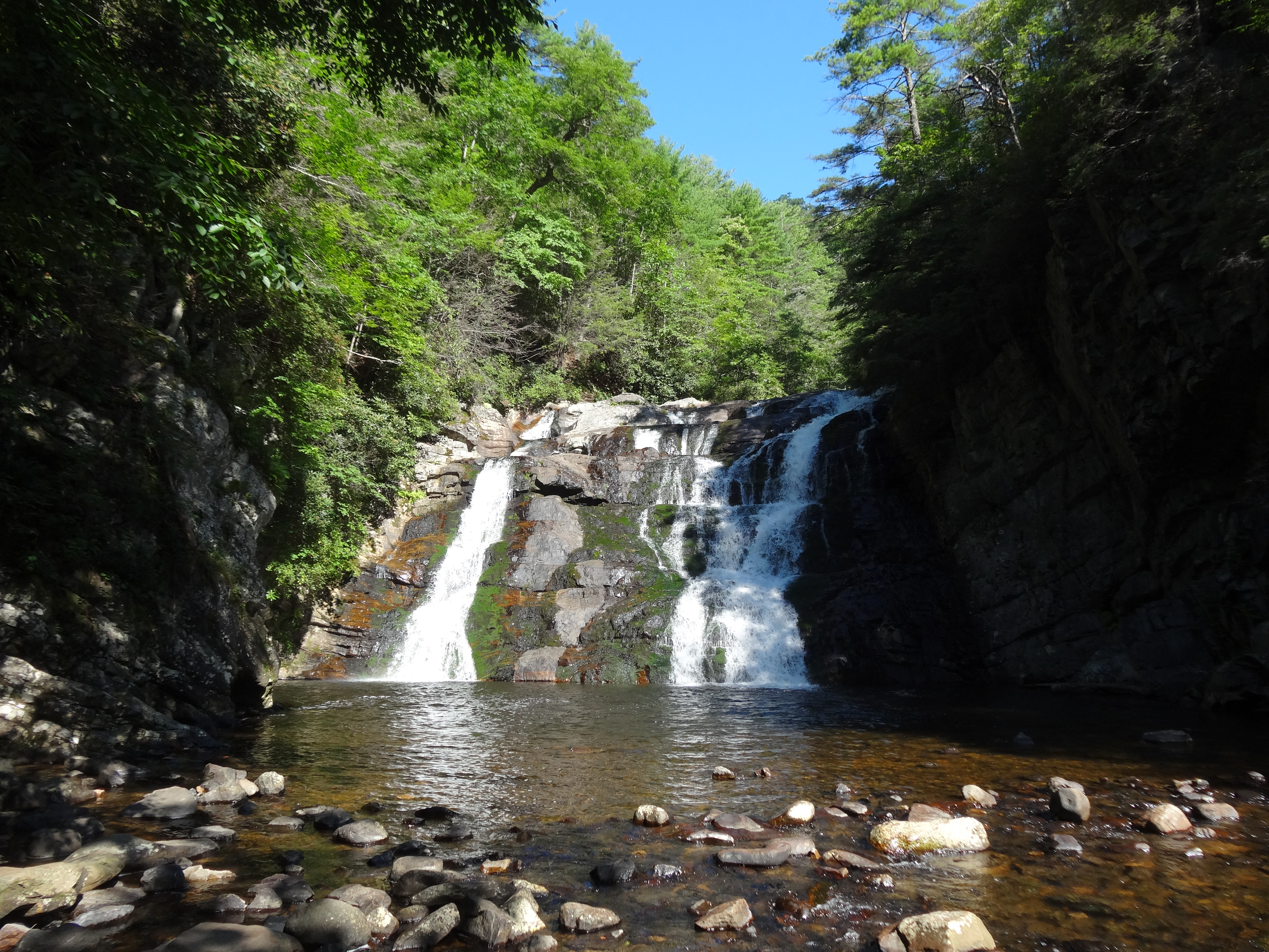
Laurel Fork Falls, Appalachian NST, TN
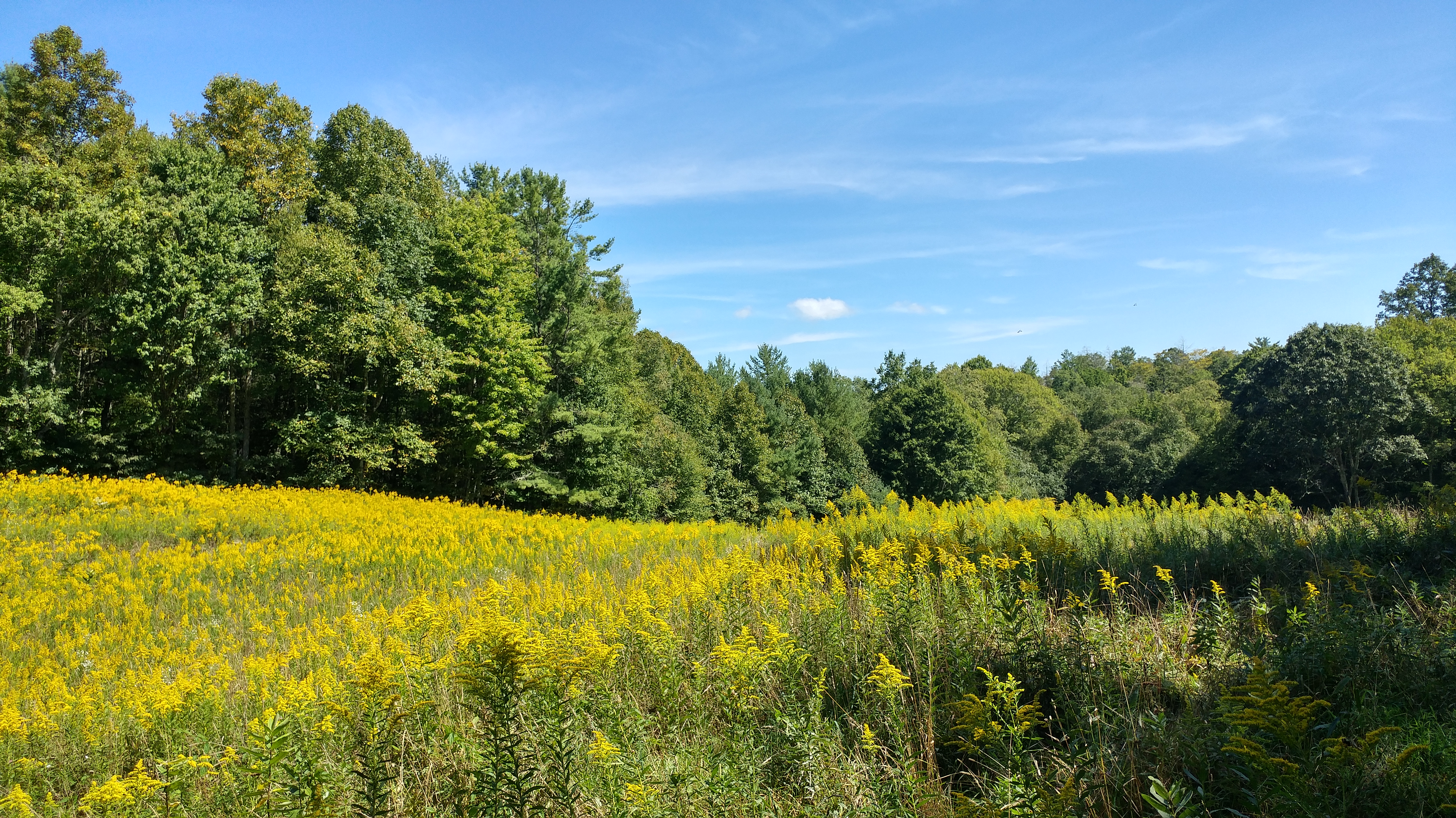
Canute Place, Appalachian NST, TN2
north of Laurel Fork Falls, Appalachian NST, Hampton, TN2
Morning on the Watauga
Morning Glory

Scribbles AT Hike 2011-05-15 @ 07-35-14
Topographic Map of Sarah Annie Dr, Johnson City, TN, USA
Find elevation by address:

Places near Sarah Annie Dr, Johnson City, TN, USA:
1784 Powder Branch Rd
1180 Dry Creek Rd
270 Howard Hyder Rd
1530 Powder Branch Rd
1415 Dry Creek Rd
189 Cash Hollow Rd
Jefferson Ln, Elizabethton, TN, USA
2432 Gap Creek Rd
2602 Gap Creek Rd
154 Carden Dr
217 Big Springs Rd
127 Whitson Dr
110 Scaffold Branch Rd
Voyd Holtsclaw Road
135 Big Springs Rd
701 Piney Grove Rd
Browns Branch Rd, Hampton, TN, USA
581 Piney Grove Rd
531 Piney Grove Rd
659 Gap Creek Rd
Recent Searches:
- Elevation of Congressional Dr, Stevensville, MD, USA
- Elevation of Bellview Rd, McLean, VA, USA
- Elevation of Stage Island Rd, Chatham, MA, USA
- Elevation of Shibuya Scramble Crossing, 21 Udagawacho, Shibuya City, Tokyo -, Japan
- Elevation of Jadagoniai, Kaunas District Municipality, Lithuania
- Elevation of Pagonija rock, Kranto 7-oji g. 8"N, Kaunas, Lithuania
- Elevation of Co Rd 87, Jamestown, CO, USA
- Elevation of Tenjo, Cundinamarca, Colombia
- Elevation of Côte-des-Neiges, Montreal, QC H4A 3J6, Canada
- Elevation of Bobcat Dr, Helena, MT, USA