Elevation of Sara, WA, USA
Location: United States > Washington > Clark County > Ridgefield >
Longitude: -122.71315
Latitude: 45.7515043
Elevation: 40m / 131feet
Barometric Pressure: 101KPa
Elevation Map:
Satellite Map:
Related Photos:

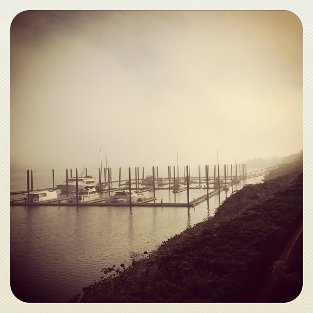
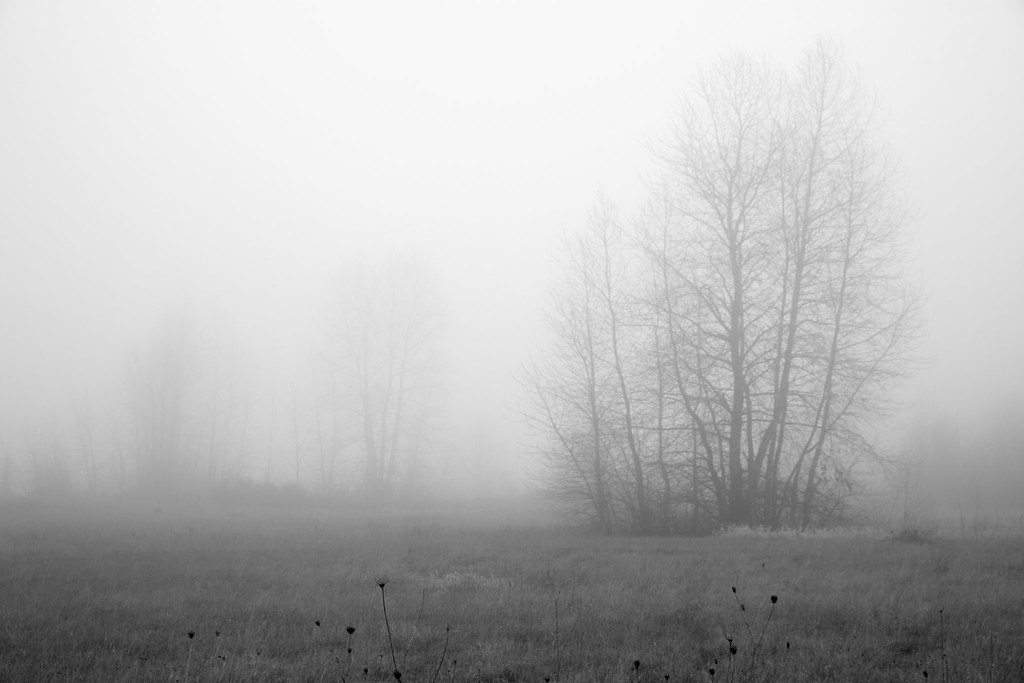
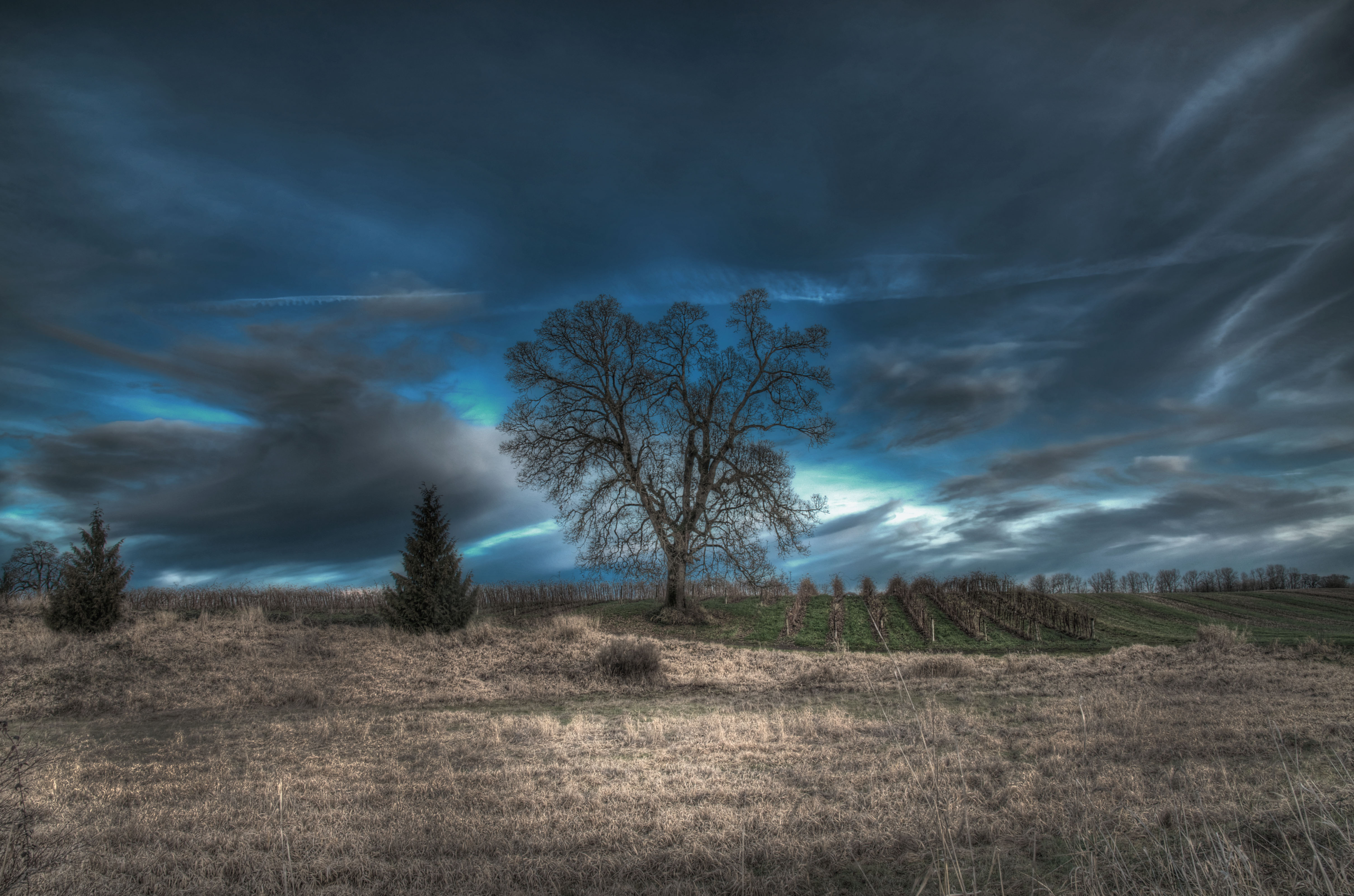
From out of the Fog..

Hooded Mergansers in the Spotlight

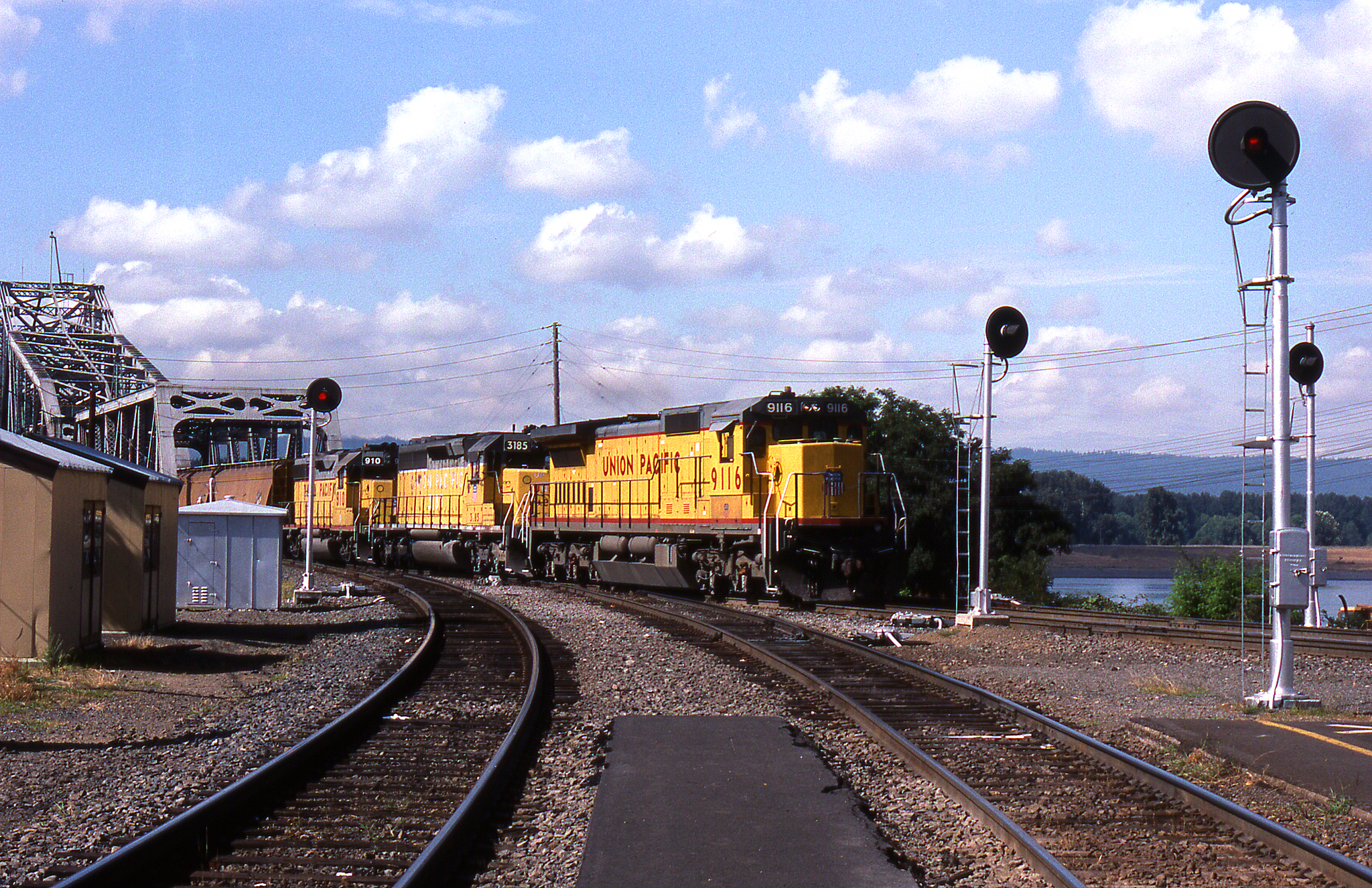
GE Diesel Locomotive (Start Up)

Pinhole Panoramic

eyes of my apple
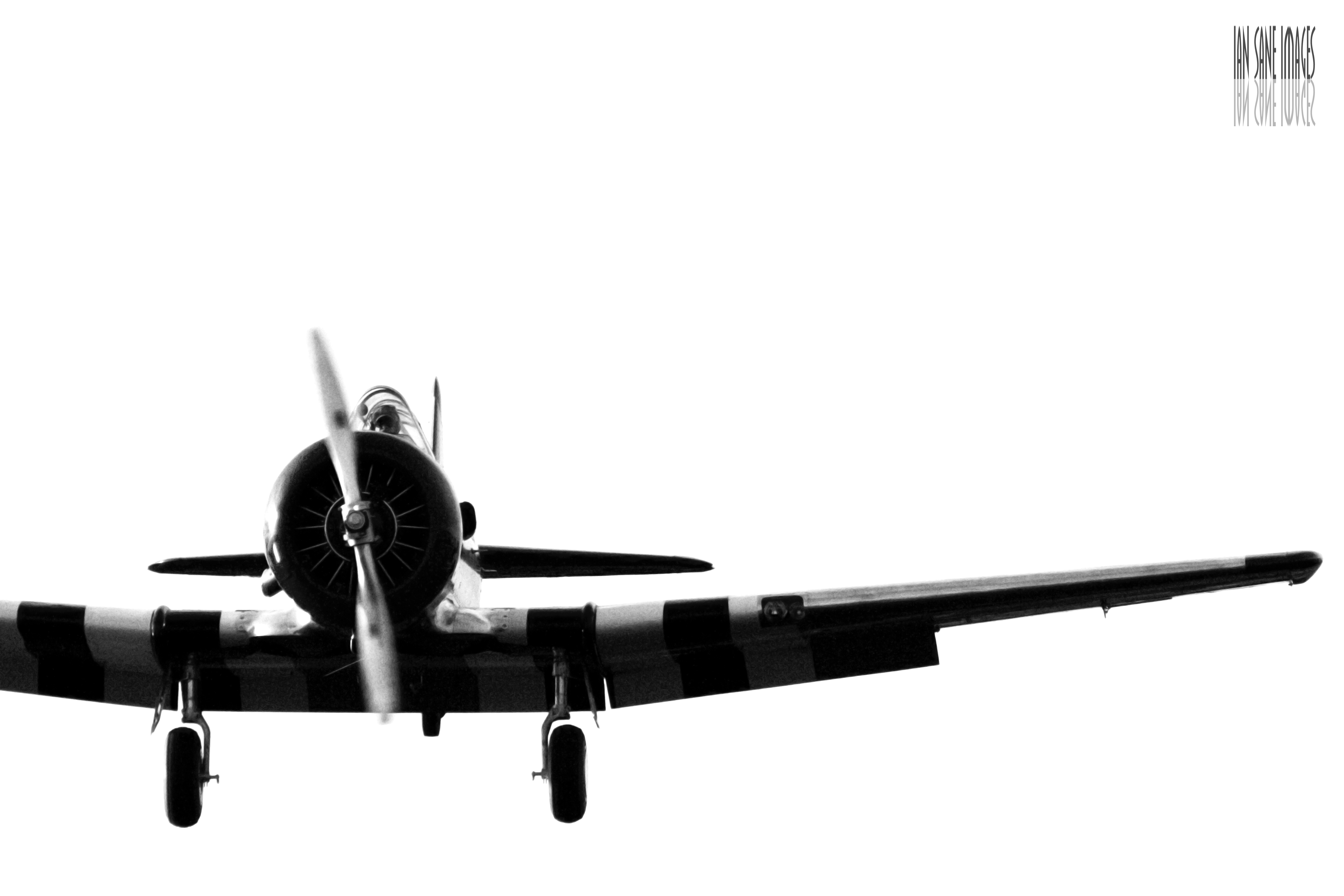
A Straight-On View
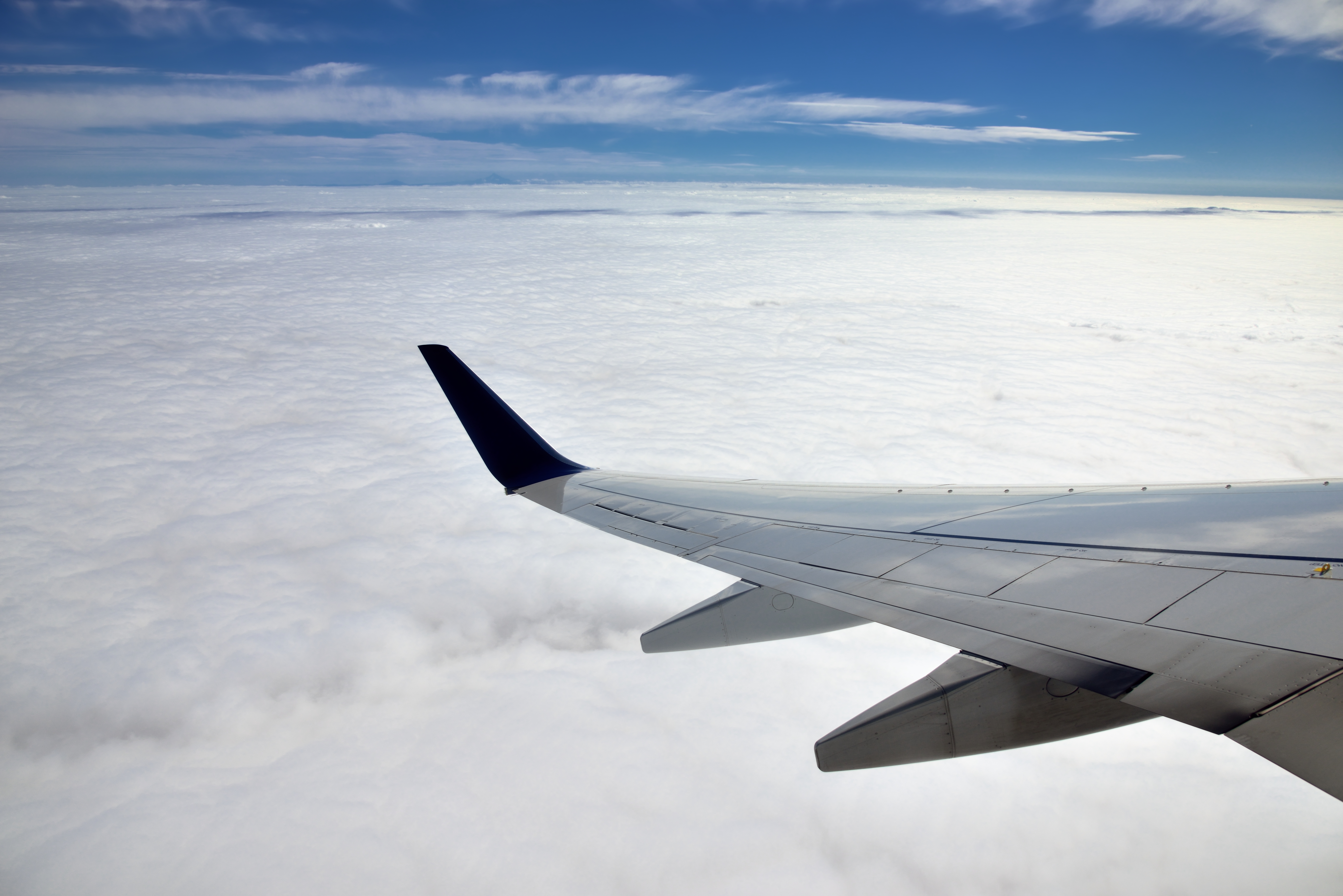
Flying Above the Clouds and Teeny Tiny Mountains off in the Distance

Scappoose Bay Treelines
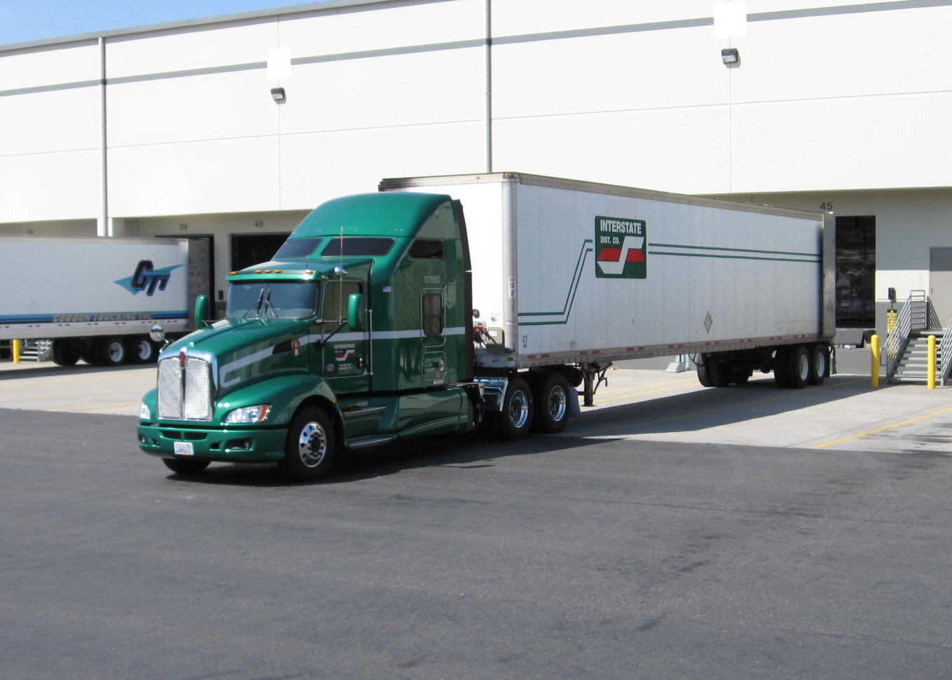
Another view of Interstate Distributors Kenworth T660, Truck 101880
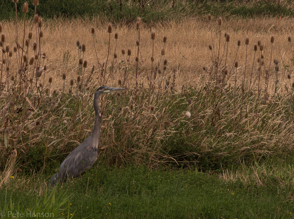
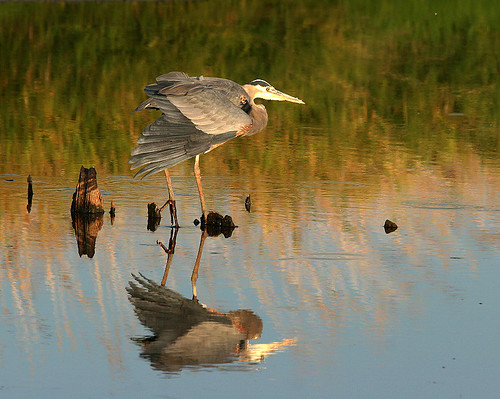
Great Blue Heron

Scaly Wood Mushroom (Explore 11/3/13)
Coming and Going

Strawberry Fields Forever
Strech and Yawn..

Out on a Limb
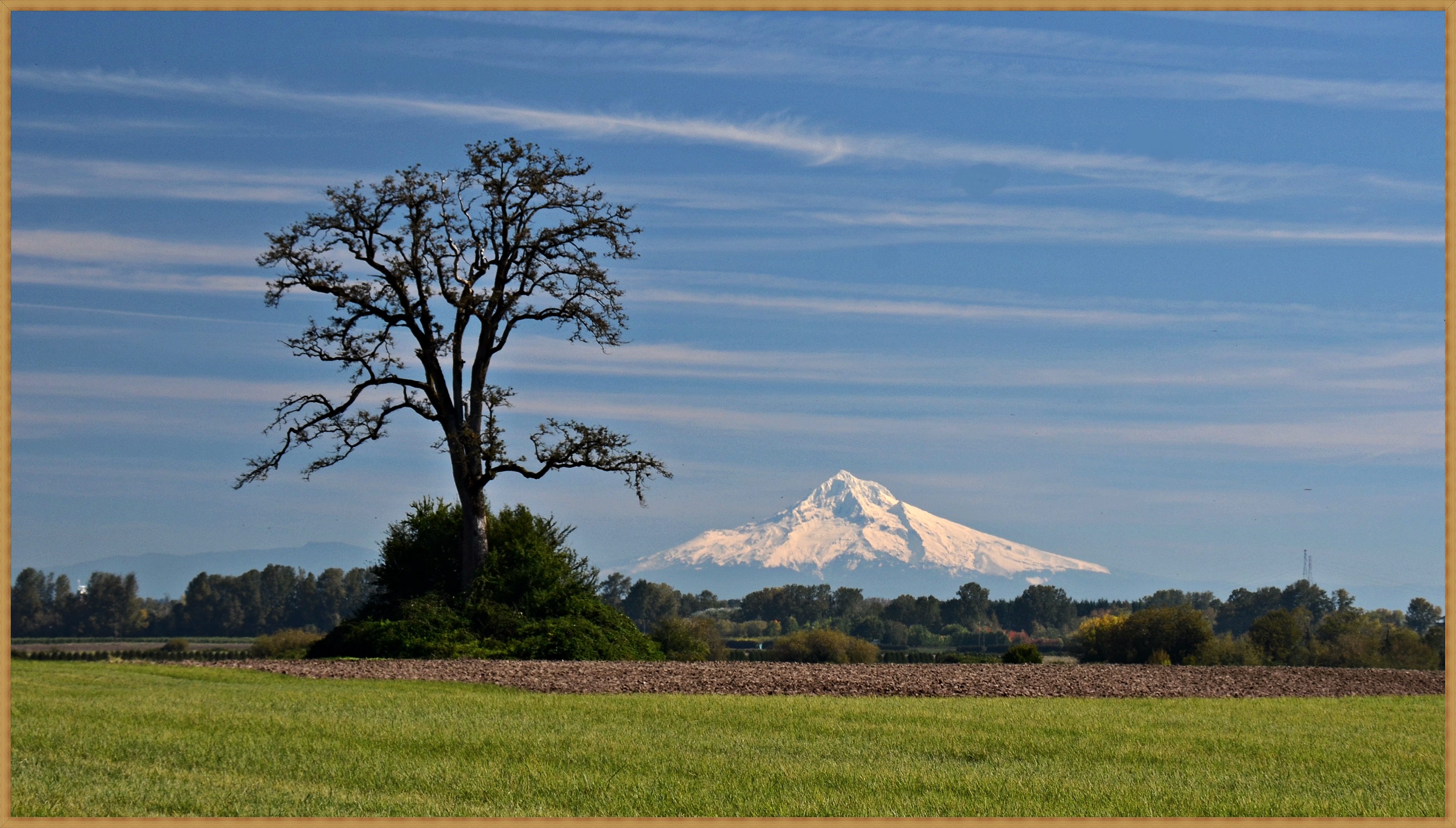
Great view of Mt. Hood this morning!
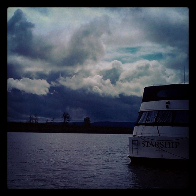
View from Mark's on the channel. Great food, nice people & terrific view ! #oregon #willamette #water #river #foodforfoodies #foodgasm #foodpic #foodporn #boat
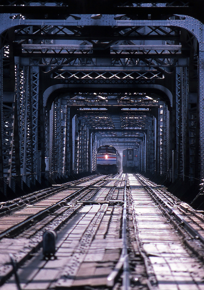
Seattle Bound Amongst the Searchlights
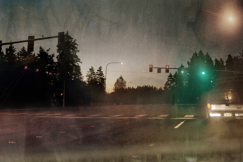
Foggy Night

Meet Tim
GO ~ or ~ how you'll stay with me
Mount Hood from Sauvie Island 10 5 2013

morning rise (Explored)
an Oregon island in the fall

sauvie scene

sauvie forest road

pools of light

early morning arrival
Agri-Swirl

concerto in F major

Sauvie island tree

I will follow the water and not the sun
Pearson Airfield #sonya6000 #flowers #nature #weaverwrite #beauty #pearsonairport
ColumbiaRiver-DC4_0483

Mt Hood
from lucy reeder road

Colorful Sunset

40 minutes after the flood life had returned to normal

Hidden rivers. #columbiariver #sauviesisland #oregonfromthesky

Days like this

Bird on wire

farm rig at dawn
Topographic Map of Sara, WA, USA
Find elevation by address:

Places near Sara, WA, USA:
20008 Nw 34th Ave
19917 Nw 34th Ave
20008 Nw Cedar Acres Dr
NW 61st Ave, Ridgefield, WA, USA
6508 Nw 179th St
21618 Nw 43rd Ave
13811 Nw 55th Way
5106 Nw 138th St
4714 Nw 135th St
13404 Nw 43rd Ct
19903 Nw Krieger Rd
Felida-starcrest
12607 Nw 33rd Ave
12515 Nw 26th Ave
Felida
4304 Nw 122nd St
NW nd St, Vancouver, WA, USA
Northwest 121st Circle
4503 Nw 122nd St
Knapp Landing
Recent Searches:
- Elevation of Côte-des-Neiges, Montreal, QC H4A 3J6, Canada
- Elevation of Bobcat Dr, Helena, MT, USA
- Elevation of Zu den Ihlowbergen, Althüttendorf, Germany
- Elevation of Badaber, Peshawar, Khyber Pakhtunkhwa, Pakistan
- Elevation of SE Heron Loop, Lincoln City, OR, USA
- Elevation of Slanický ostrov, 01 Námestovo, Slovakia
- Elevation of Spaceport America, Co Rd A, Truth or Consequences, NM, USA
- Elevation of Warwick, RI, USA
- Elevation of Fern Rd, Whitmore, CA, USA
- Elevation of 62 Abbey St, Marshfield, MA, USA