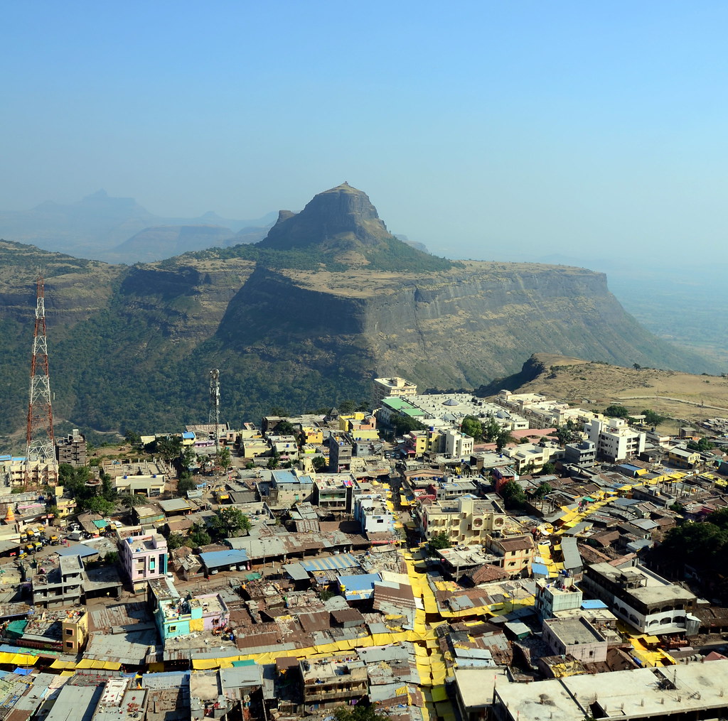
Elevation of Saptashurngi, Maharashtra, India
Location: India > Maharashtra > Nashik >
Longitude: 73.9090843
Latitude: 20.3902387
Elevation: 1158m / 3799feet
Barometric Pressure: 88KPa
Elevation Map:
Satellite Map:
Related Photos:
Vani Village and Markandeya Hill...

Mahesh patkar

Salil joshi
Topographic Map of Saptashurngi, Maharashtra, India
Find elevation by address:

Places near Saptashurngi, Maharashtra, India:
Dhodap Fort
Kalwan
Dindori
Saputara Hill Station
Saputara
Nashik
Deola
Nanashi
Ojhar
Parshuram Temple
Salher
Chandwad
Bhawade
Dasane
Dasana Baglan Bus Stop
Niphad
Kadyachamala
Naikwadi
Panchavati
Asaram Bapu Bridge
Recent Searches:
- Elevation of 64 Danakas Dr, Winnipeg, MB R2C 5N7, Canada
- Elevation of 4 Vale Rd, Sheffield S3 9QX, UK
- Elevation of Keene Point Drive, Keene Point Dr, Grant, AL, USA
- Elevation of State St, Zanesville, OH, USA
- Elevation of Austin Stone Dr, Haslet, TX, USA
- Elevation of Bydgoszcz, Poland
- Elevation of Bydgoszcz, Poland
- Elevation of Calais Dr, Del Mar, CA, USA
- Elevation of Placer Mine Ln, West Jordan, UT, USA
- Elevation of E 63rd St, New York, NY, USA