Elevation of Santiago Tulantepec, Hgo., Mexico
Location: Mexico > Hidalgo >
Longitude: -98.355395
Latitude: 20.0409041
Elevation: 2180m / 7152feet
Barometric Pressure: 78KPa
Elevation Map:
Satellite Map:
Related Photos:
San Dionicio

Mexico 2015 Madore

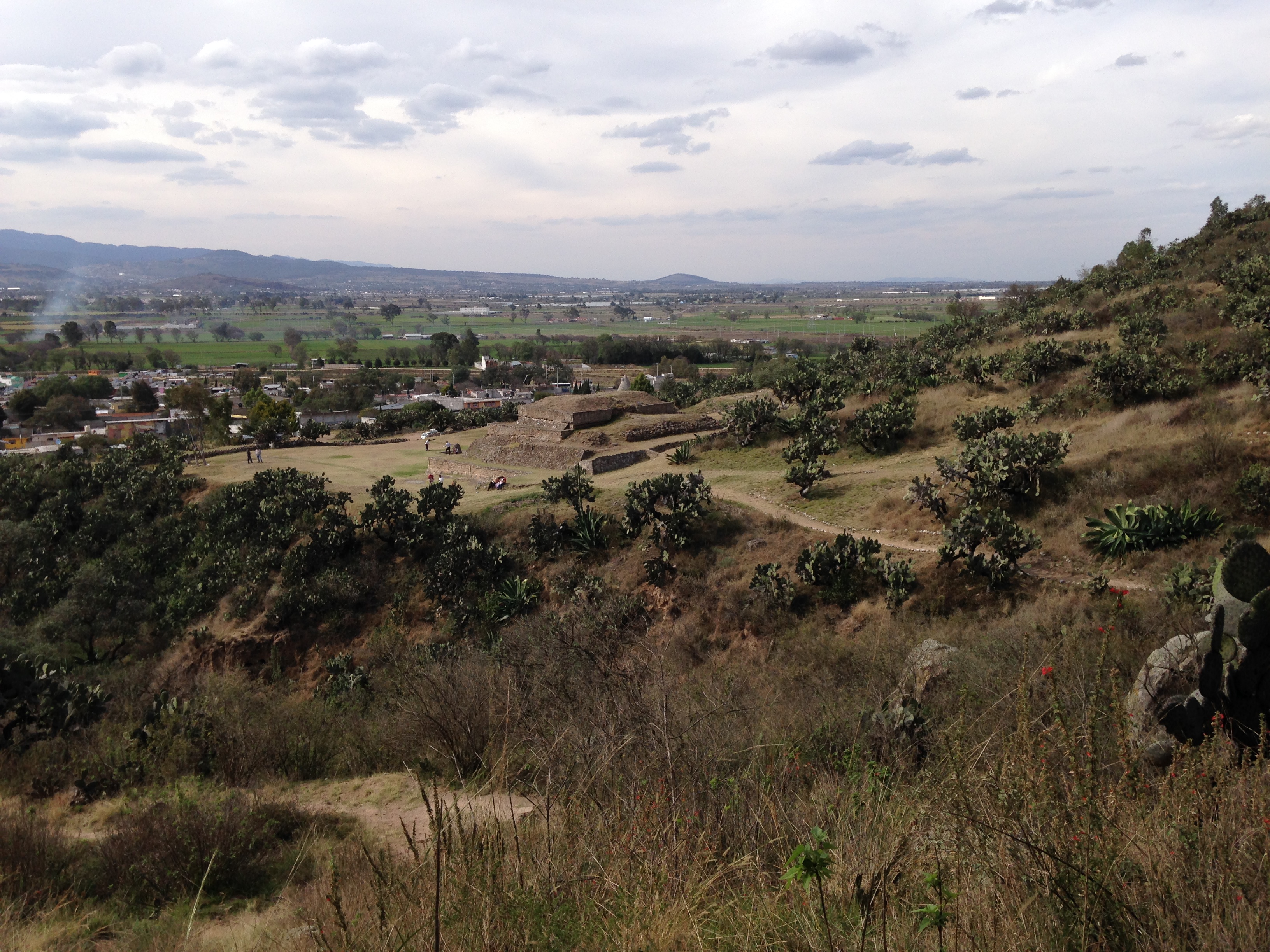
Huapalcalco Archaelogical Site

Carrete-7

Carrete-4
Mexico 2015 Madore
2013-04-21-17-48-29

Mexico 2015 Madore
Mexico 2015 Madore
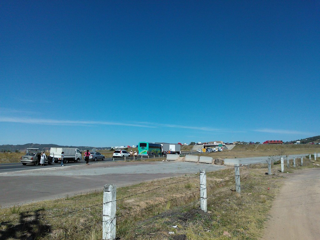
Transportistas tienen bloqueada las salidas de Tulancingo
Mexico 2015 Madore
Carrete-10
Topographic Map of Santiago Tulantepec, Hgo., Mexico
Find elevation by address:

Places in Santiago Tulantepec, Hgo., Mexico:
Places near Santiago Tulantepec, Hgo., Mexico:
Xacalco
Los Ahiles
Ahuehuetes 20, Los Ahiles, Xacalco, Santiago Tulantepec, Hgo., Mexico
Tulancingo
Tulancingo
Jorge Berganza
Calle K, Jorge Berganza, Tulancingo, Hgo., Mexico
Ampliación Javier Rojo Gómez
Javier Rojo Gómez
Retama 16, Amp Javier Rojo Gómez, Javier Rojo Gómez, Hgo., Mexico
Fresnos 26, Hidalgo, Mexico
Tulancingo - Huauchinango, Hidalgo, Mexico
Acaxochitlán
Allende Ote. 10, Primera Secc, Ahuazotepec, Pue., Mexico
Ahuazotepec
Primera Sección
Ahuazotepec
Tlalzintla
Abedul 5, Tlalzintla, Acaxochitlán, Hgo., Mexico
Recent Searches:
- Elevation of Corso Fratelli Cairoli, 35, Macerata MC, Italy
- Elevation of Tallevast Rd, Sarasota, FL, USA
- Elevation of 4th St E, Sonoma, CA, USA
- Elevation of Black Hollow Rd, Pennsdale, PA, USA
- Elevation of Oakland Ave, Williamsport, PA, USA
- Elevation of Pedrógão Grande, Portugal
- Elevation of Klee Dr, Martinsburg, WV, USA
- Elevation of Via Roma, Pieranica CR, Italy
- Elevation of Tavkvetili Mountain, Georgia
- Elevation of Hartfords Bluff Cir, Mt Pleasant, SC, USA