Elevation of Santiago Rd, Blanchard, ID, USA
Location: United States > Idaho > Bonner County > Blanchard >
Longitude: -116.95321
Latitude: 48.0107183
Elevation: 691m / 2267feet
Barometric Pressure: 93KPa
Elevation Map:
Satellite Map:
Related Photos:
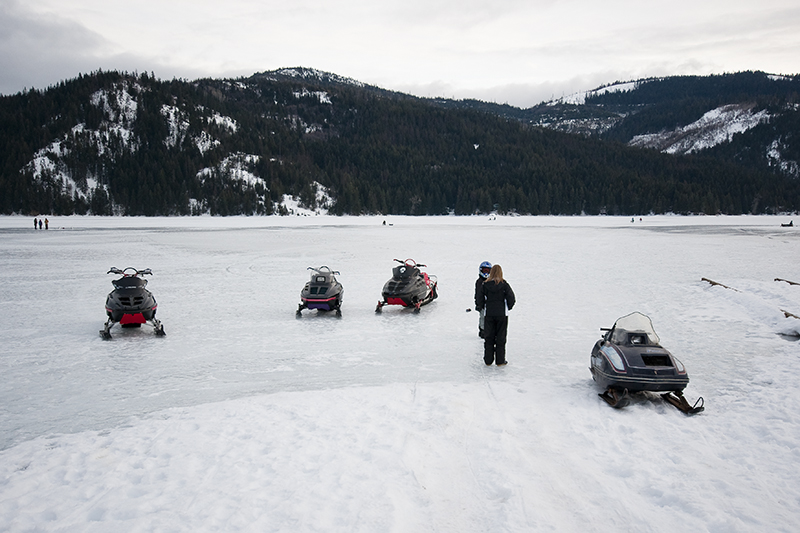
Frozen Lake Transportation

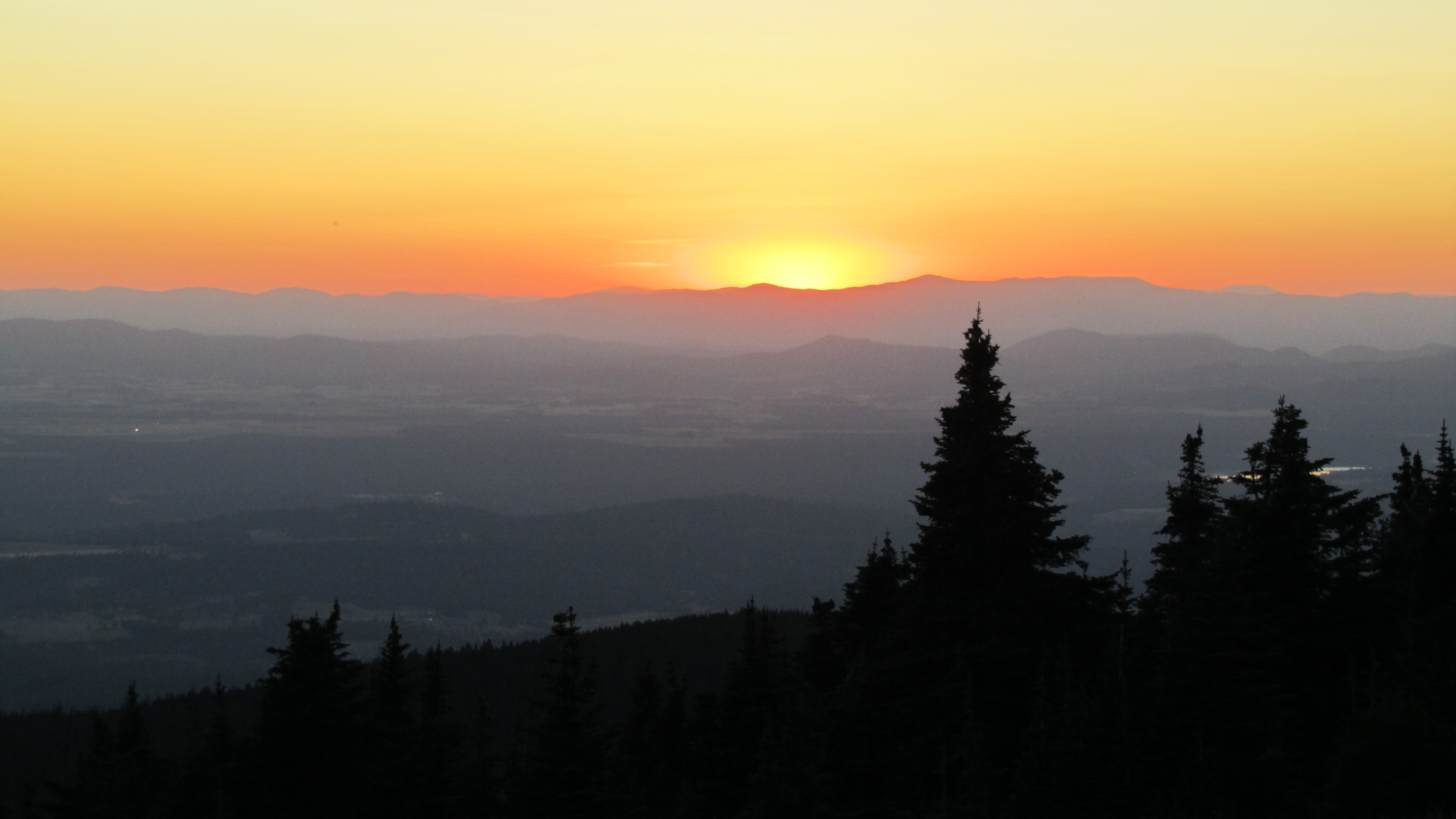
Idaho Sunsets

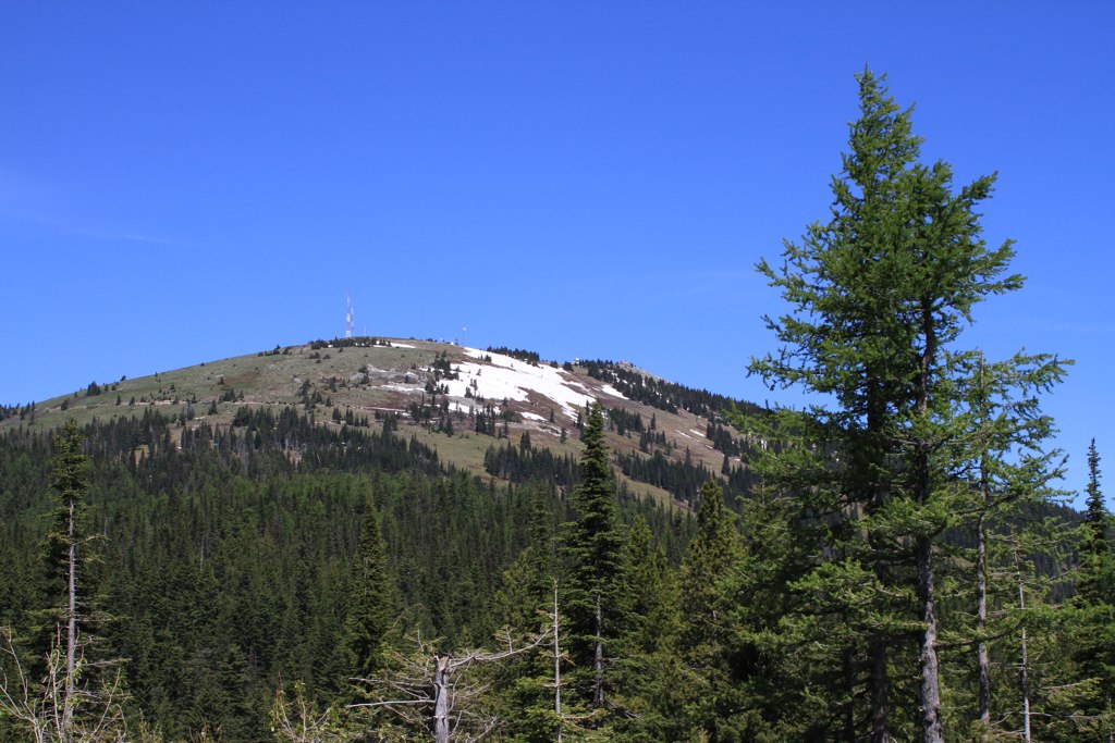
Mount Spokane Summit
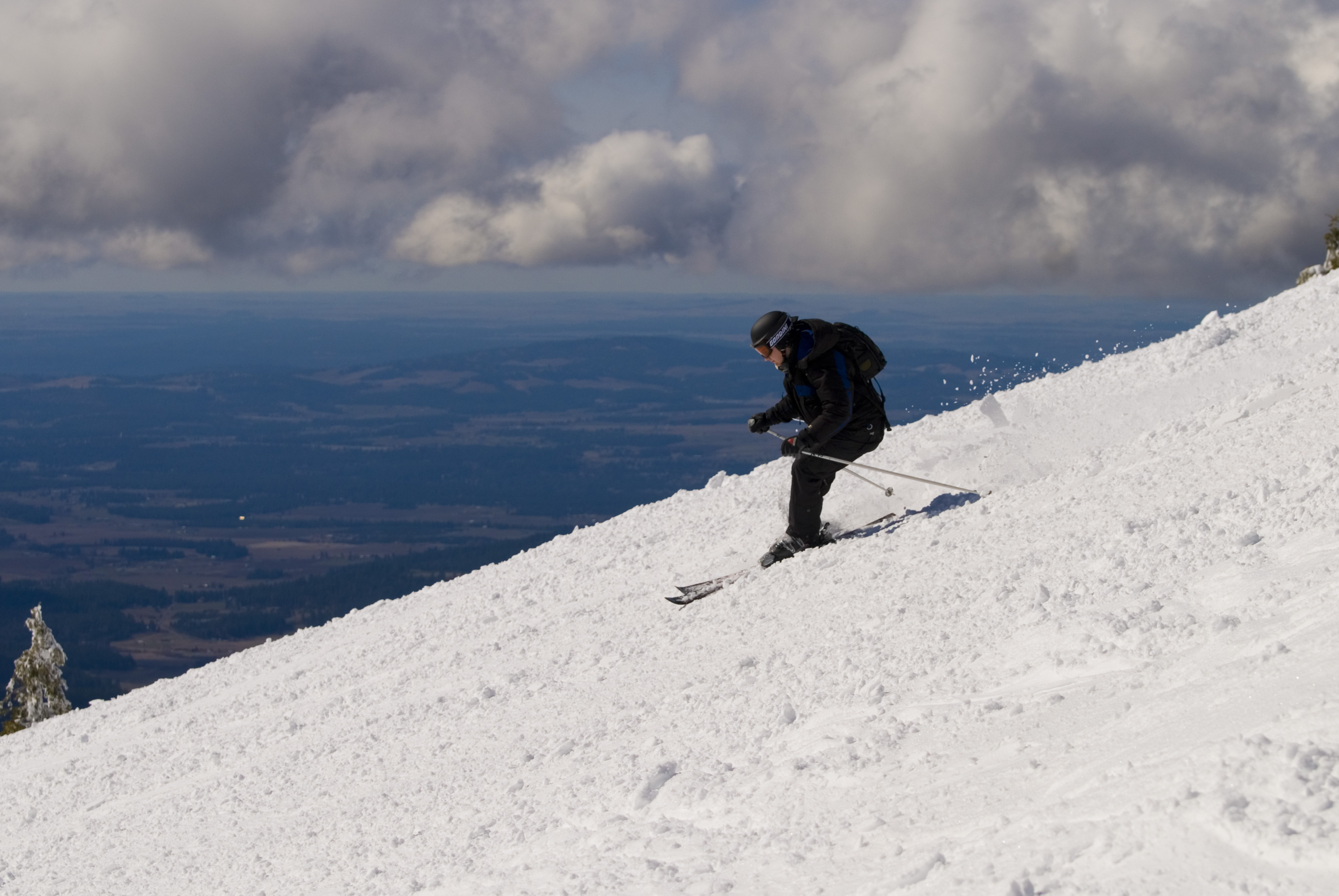
David (me) Skiing Mt. Spokane

A View of the Stars

view from the top. #springbreak #springskiing #ski #skiing #snowboarding
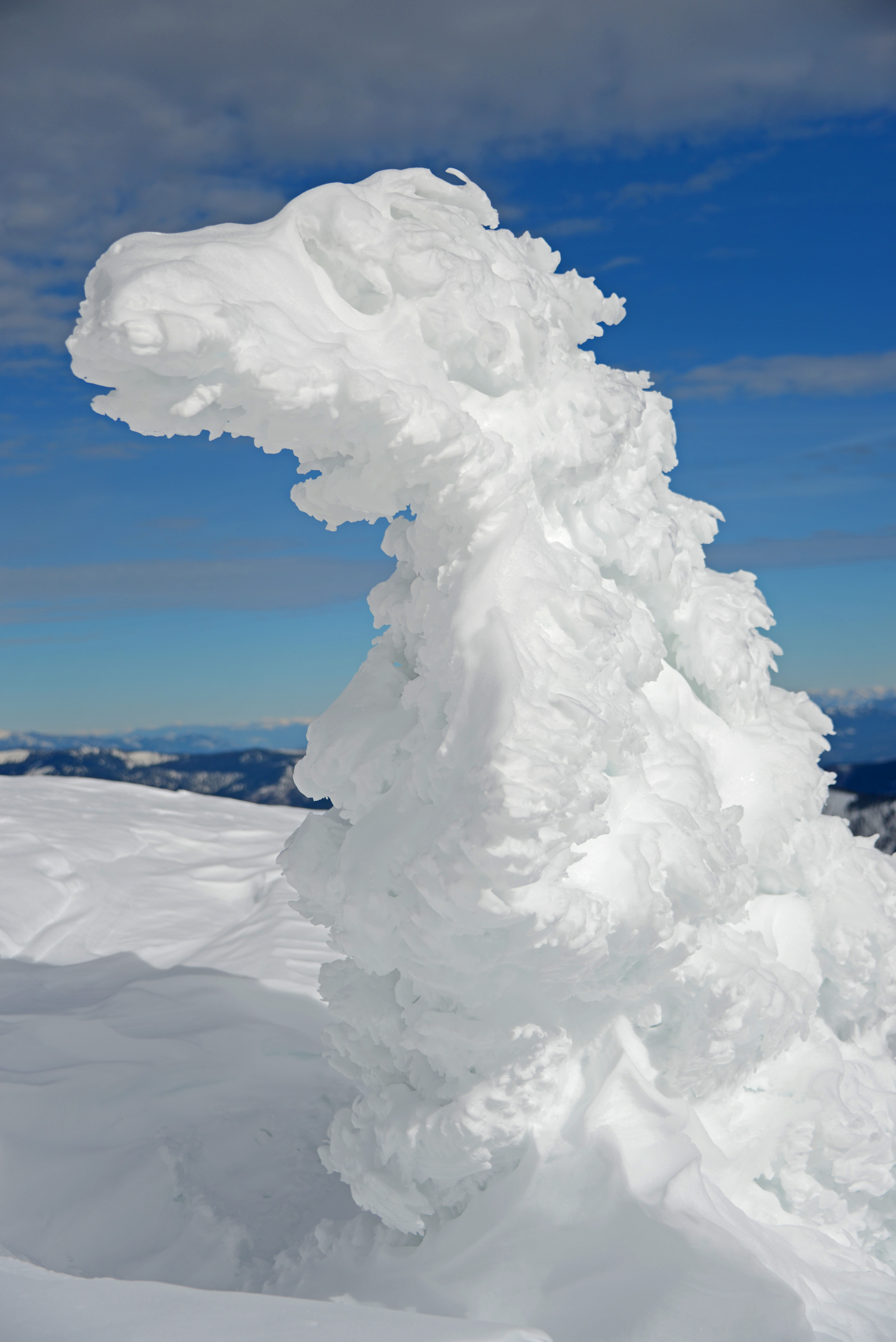
Frozen Dinosaur
looking west

On the way to Sandpoint

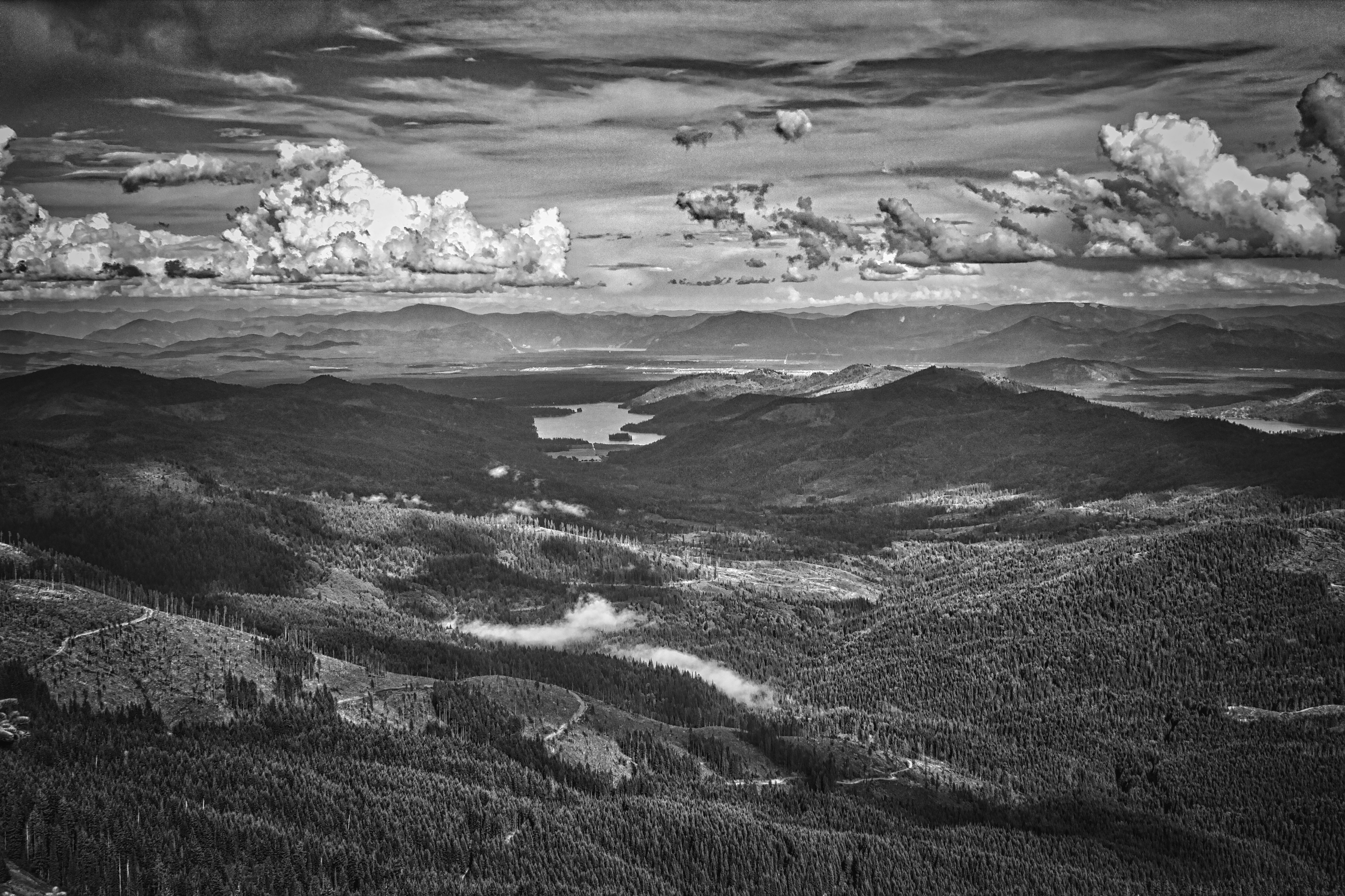
Looking East from Mt Spokane
On top
mt spokane
mt spokane

Christmas 2012-Mt. Spokane, Washington
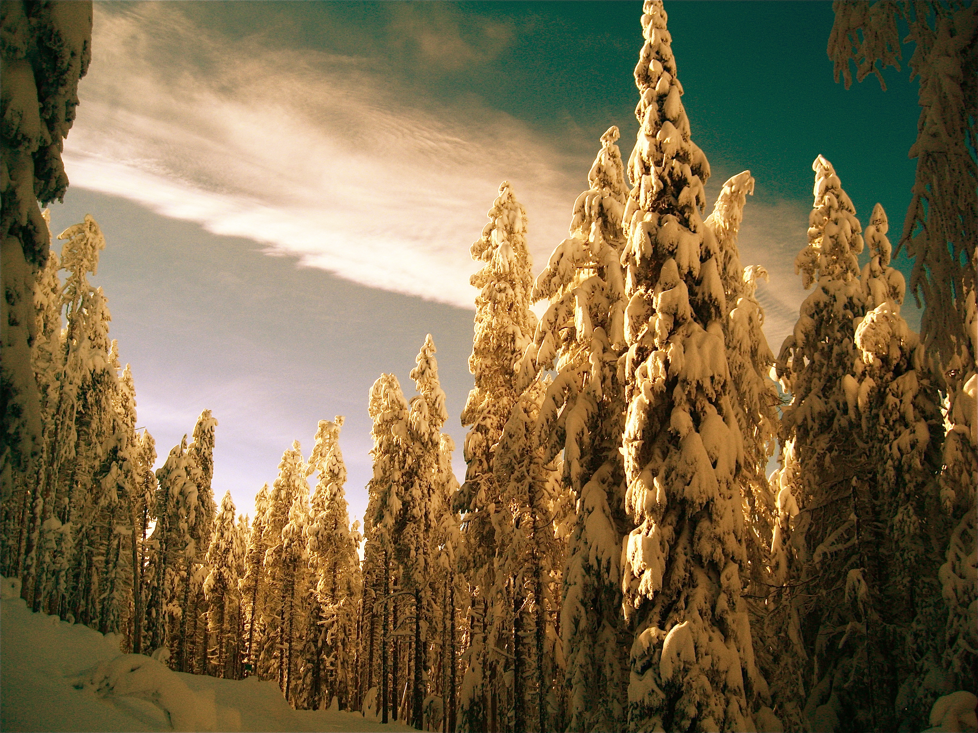
Mt. Spokane

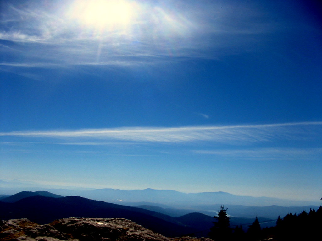
Top of Mt Spokane
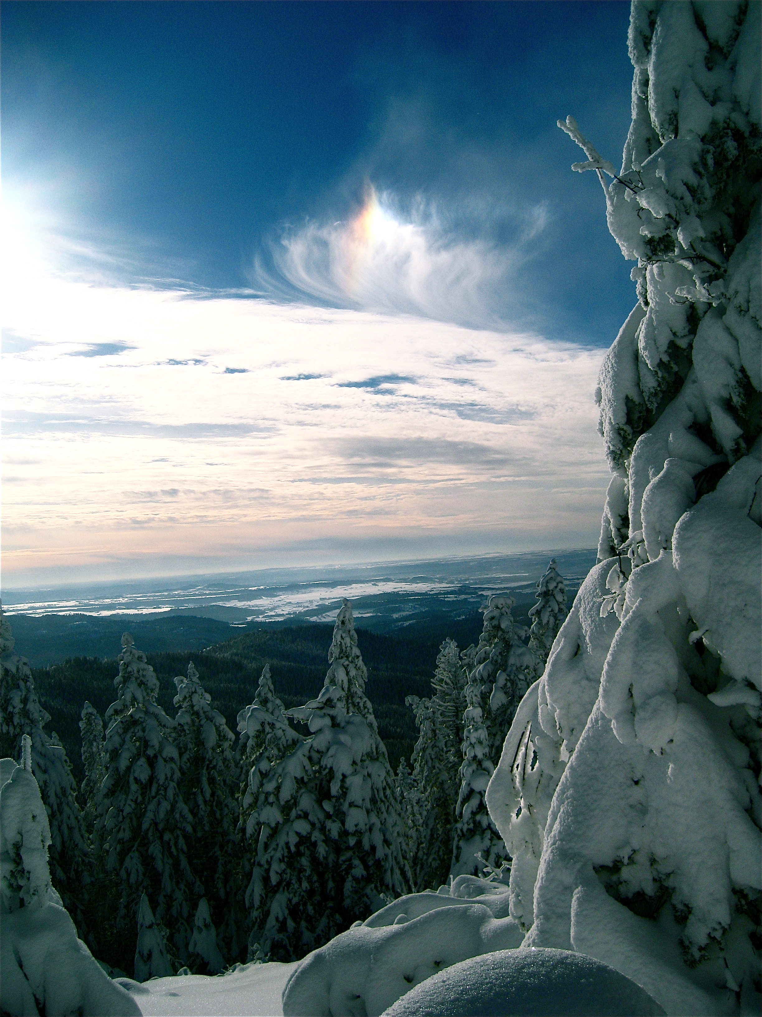
Mount Spokane

Hoodoo Creek

mt spokane

Mt. Spokane
Topographic Map of Santiago Rd, Blanchard, ID, USA
Find elevation by address:

Places near Santiago Rd, Blanchard, ID, USA:
203 Santiago Rd
203 Santiago Rd
150 Rogstad Powerline Rd
Blanchard
ID-41, Blanchard, ID, USA
3254 Spirit Lake Cutoff Rd
2955 Cabin Ridge Rd
2270 Hoodoo Mountain Rd
2270 Hoodoo Mountain Rd
2270 Hoodoo Mountain Rd
608 Mcdonald Creek Rd
2710 Hoodoo Mountain Rd
2710 Hoodoo Mountain Rd
Hoo Doo Loop
61 Chipakota Ln
61 Chipakota Ln
912 Dry Creek Rd
147 Shepard Rd
7321 Kelso Lake Rd
187 Dry Creek Rd
Recent Searches:
- Elevation of Congressional Dr, Stevensville, MD, USA
- Elevation of Bellview Rd, McLean, VA, USA
- Elevation of Stage Island Rd, Chatham, MA, USA
- Elevation of Shibuya Scramble Crossing, 21 Udagawacho, Shibuya City, Tokyo -, Japan
- Elevation of Jadagoniai, Kaunas District Municipality, Lithuania
- Elevation of Pagonija rock, Kranto 7-oji g. 8"N, Kaunas, Lithuania
- Elevation of Co Rd 87, Jamestown, CO, USA
- Elevation of Tenjo, Cundinamarca, Colombia
- Elevation of Côte-des-Neiges, Montreal, QC H4A 3J6, Canada
- Elevation of Bobcat Dr, Helena, MT, USA