Elevation of Santa Fe, Victoria, TX, USA
Location: United States > Texas > Victoria County > Victoria >
Longitude: -96.962897
Latitude: 28.8419159
Elevation: 33m / 108feet
Barometric Pressure: 101KPa
Elevation Map:
Satellite Map:
Related Photos:

Victoria County Courthouse, Victoria Texas
2016 June 12
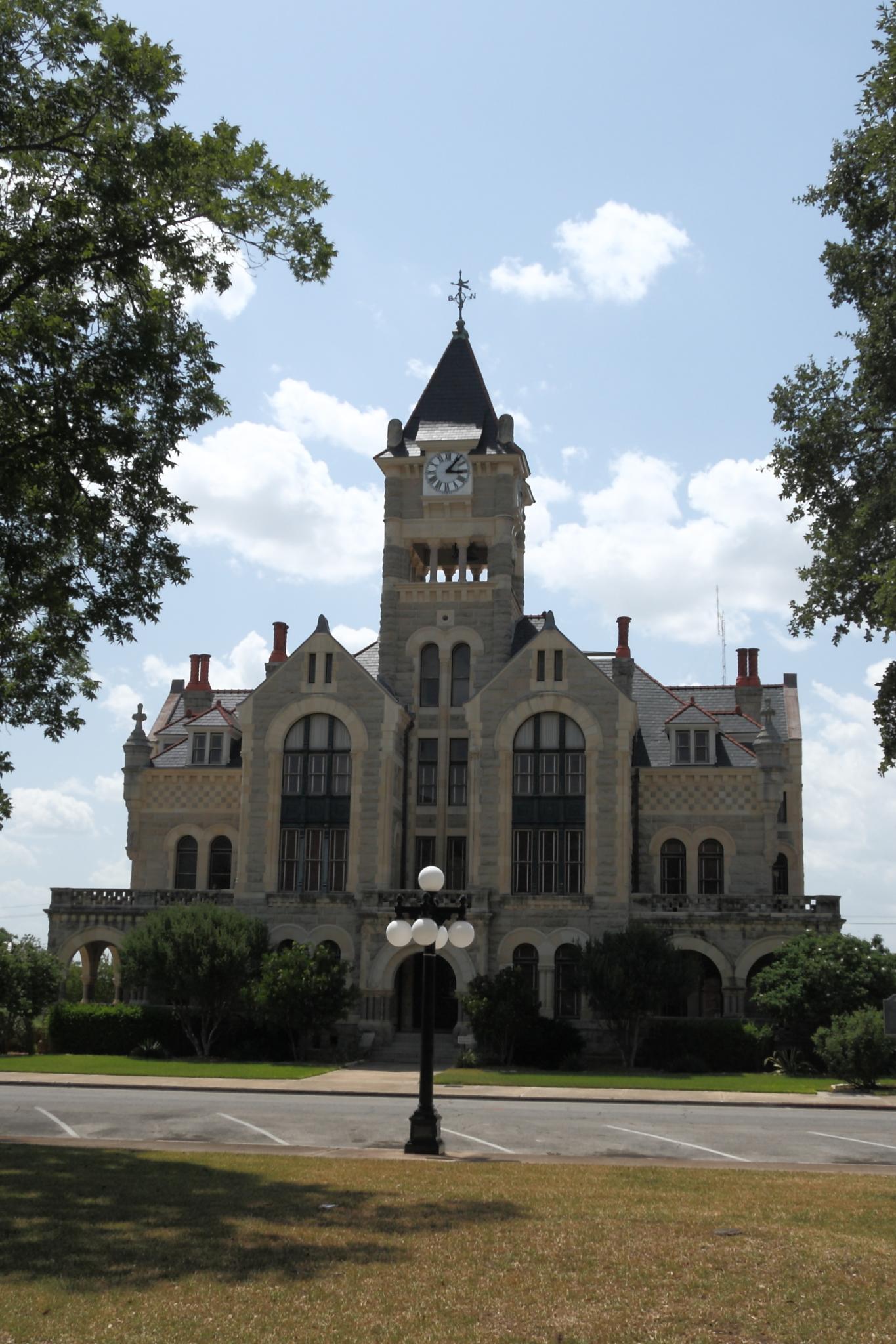
Victoria County Courthouse

Rose, Spider, and Morning Dew
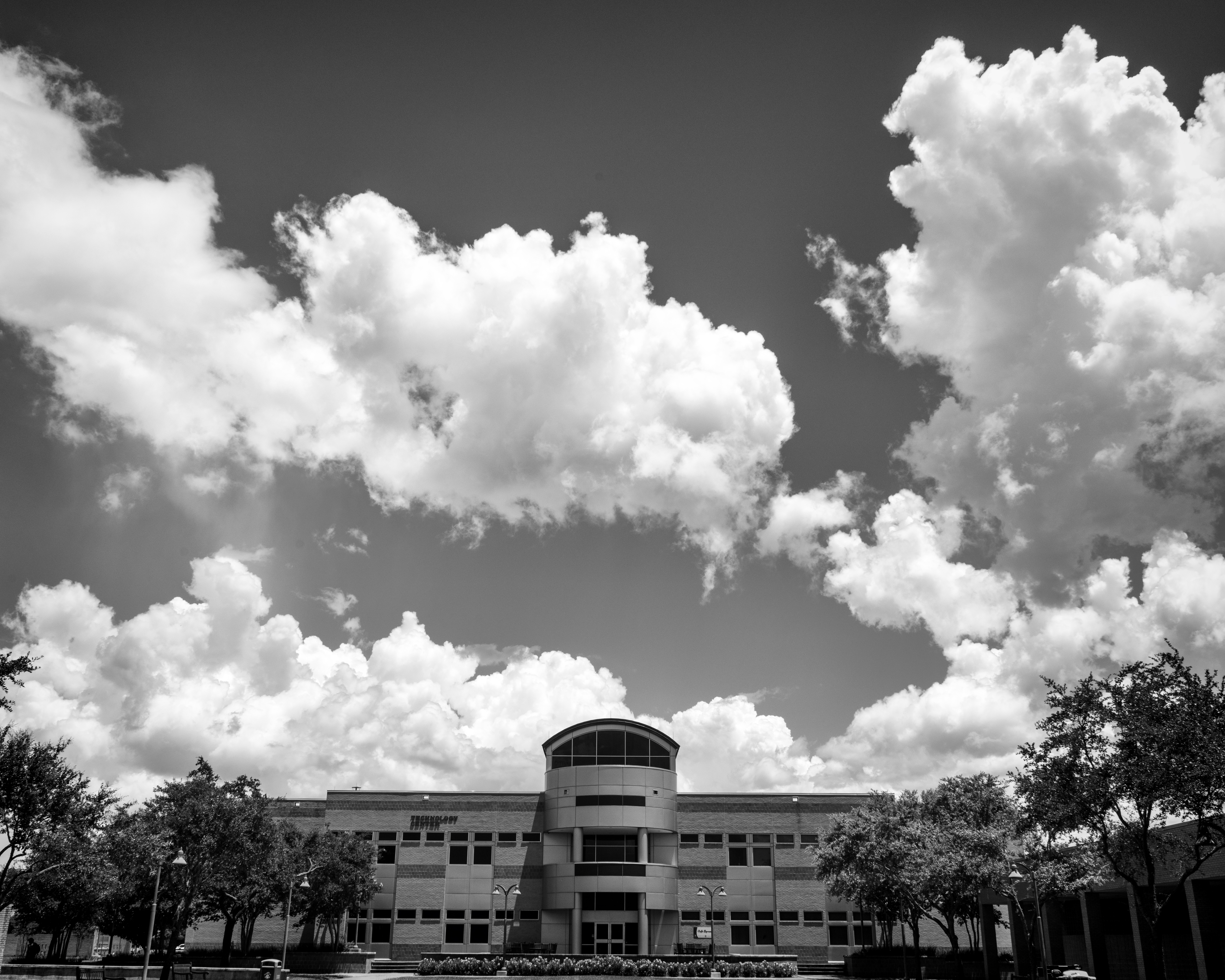
Technology Center Building on Victoria College (with Clouds)
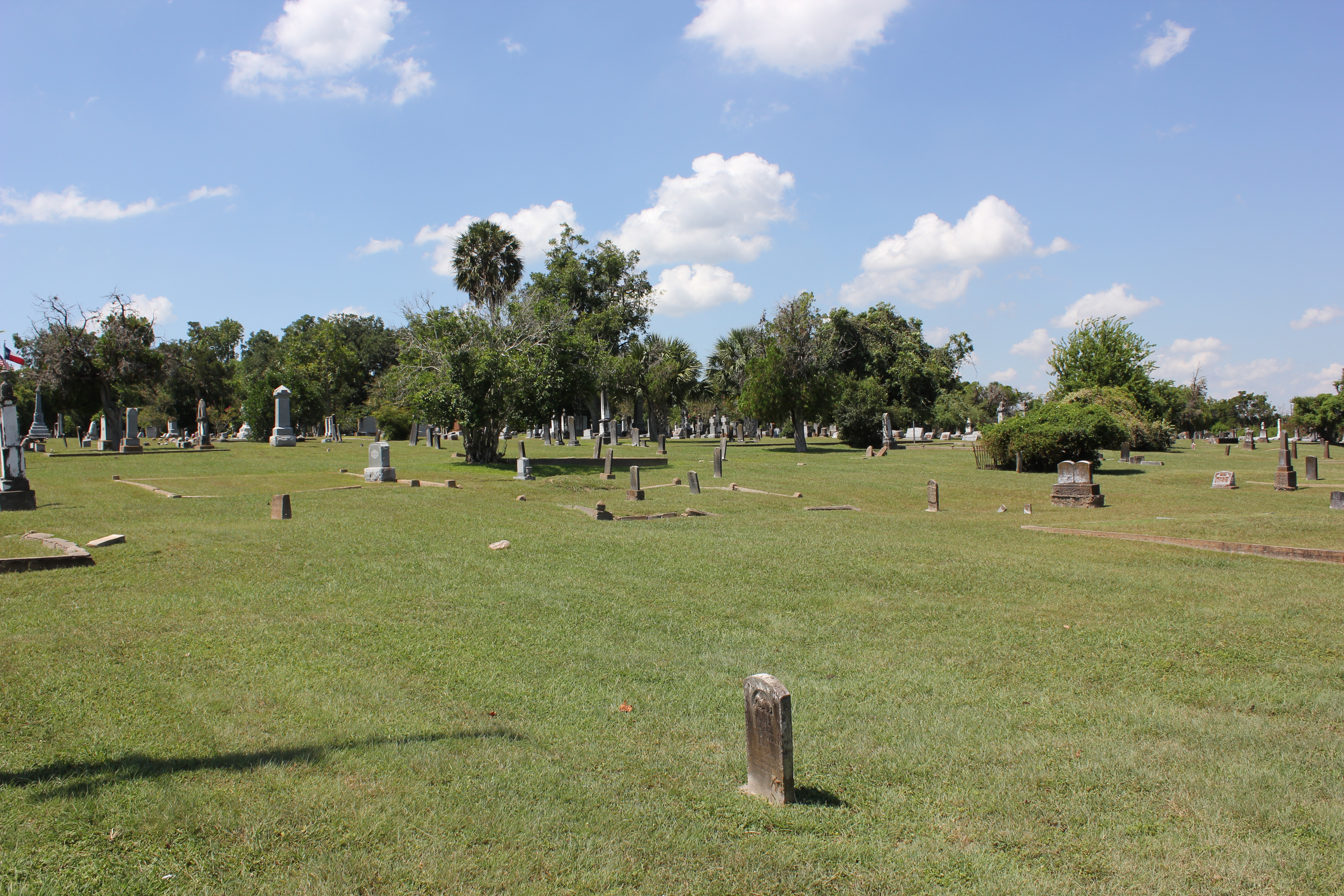
Victoria Cemetery

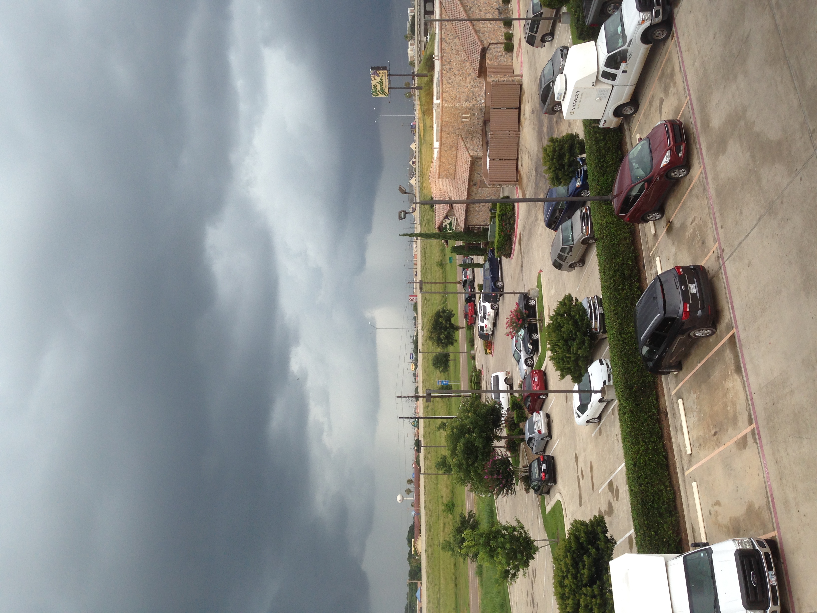
Don't see this #running in the city! #smalltowntexas #texasrunning #run #htx #htown #houston
Watching the flowers with amy

I love you, Texas.
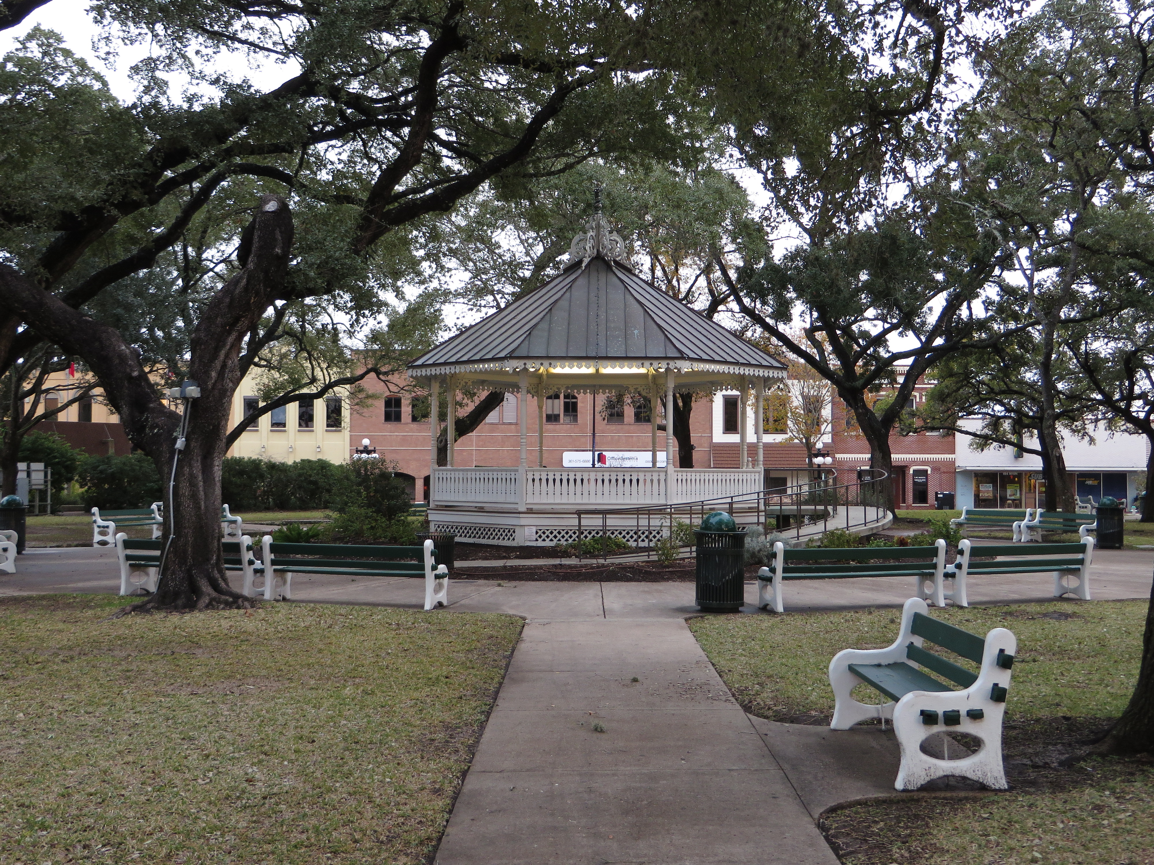
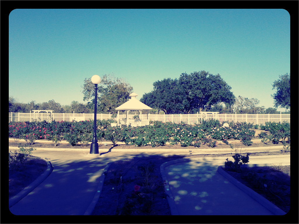
DeLeon Plaza and Bandstand, Victoria, Texas

Guadalupe River
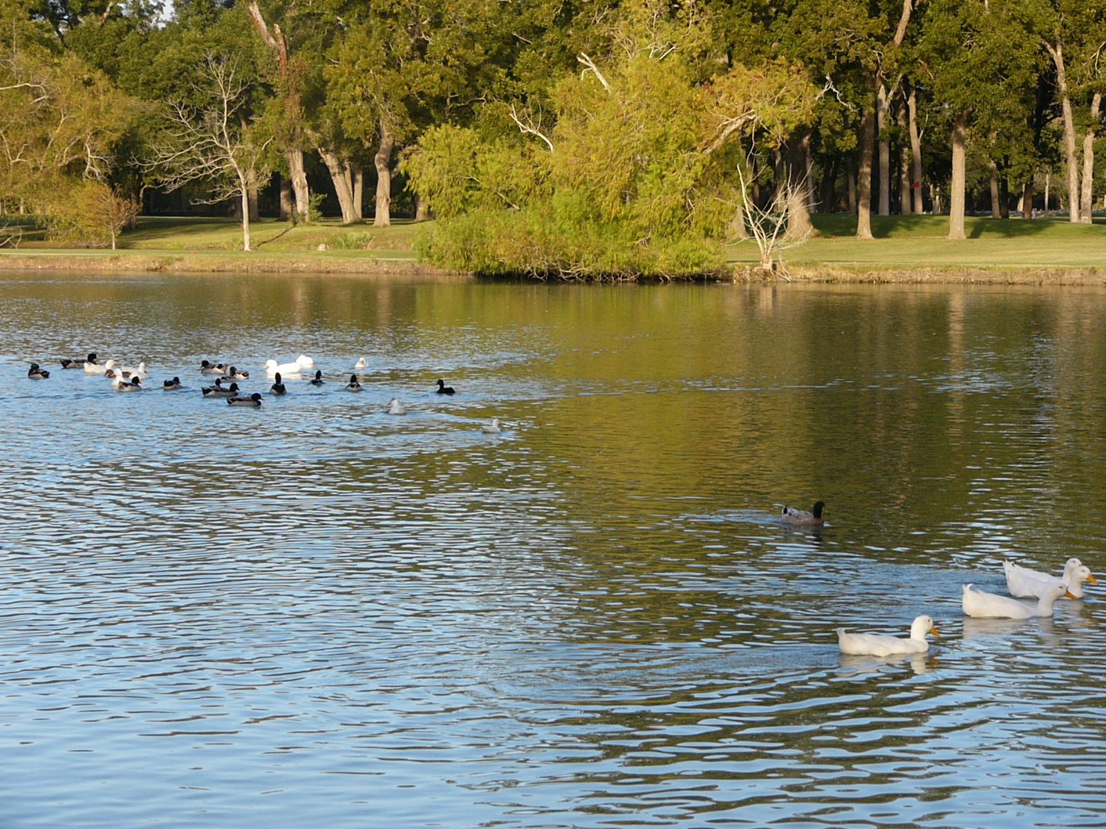
Oh Snap! The Ducks Are Gonna Rumble!

Victoria County Courthouse, Texas 20160206

20170108_Victoria_DP_0008 copy

Kayaking Sunday
Topographic Map of Santa Fe, Victoria, TX, USA
Find elevation by address:

Places near Santa Fe, Victoria, TX, USA:
222 Canyon Creek
114 Londonderry Dr
408 Edgewater
221 Colony Creek Dr
3203 E Mistletoe Ave
Monterrey Drive
101 Warwick Glen St
106 Wind Crest
1306 Plantation Rd
Topaz Drive
109 Pasadena Dr
208 Pasadena Dr
2 Somerset Pl
305 Pasadena Dr
6803 N Navarro St
311 Tracy Ln
109 Brenna Cir
310 Dover St
1103 Simpson Rd
207 Simpson Rd
Recent Searches:
- Elevation of Elwyn Dr, Roanoke Rapids, NC, USA
- Elevation of Congressional Dr, Stevensville, MD, USA
- Elevation of Bellview Rd, McLean, VA, USA
- Elevation of Stage Island Rd, Chatham, MA, USA
- Elevation of Shibuya Scramble Crossing, 21 Udagawacho, Shibuya City, Tokyo -, Japan
- Elevation of Jadagoniai, Kaunas District Municipality, Lithuania
- Elevation of Pagonija rock, Kranto 7-oji g. 8"N, Kaunas, Lithuania
- Elevation of Co Rd 87, Jamestown, CO, USA
- Elevation of Tenjo, Cundinamarca, Colombia
- Elevation of Côte-des-Neiges, Montreal, QC H4A 3J6, Canada