Elevation of Santa District, Peru
Location: Peru > Ancash > Santa >
Longitude: -78.614185
Latitude: -8.9877356
Elevation: 26m / 85feet
Barometric Pressure: 101KPa
Elevation Map:
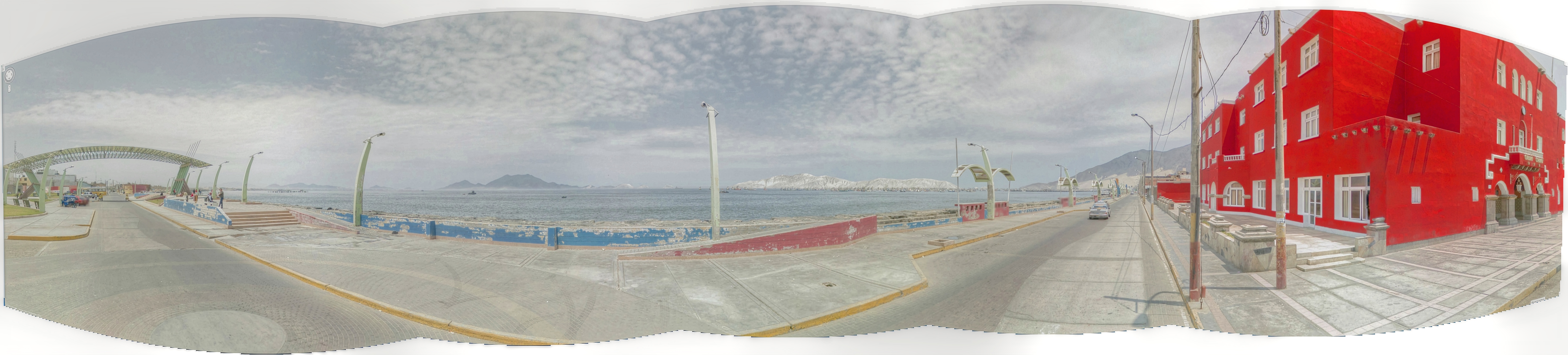
Satellite Map:
Related Photos:
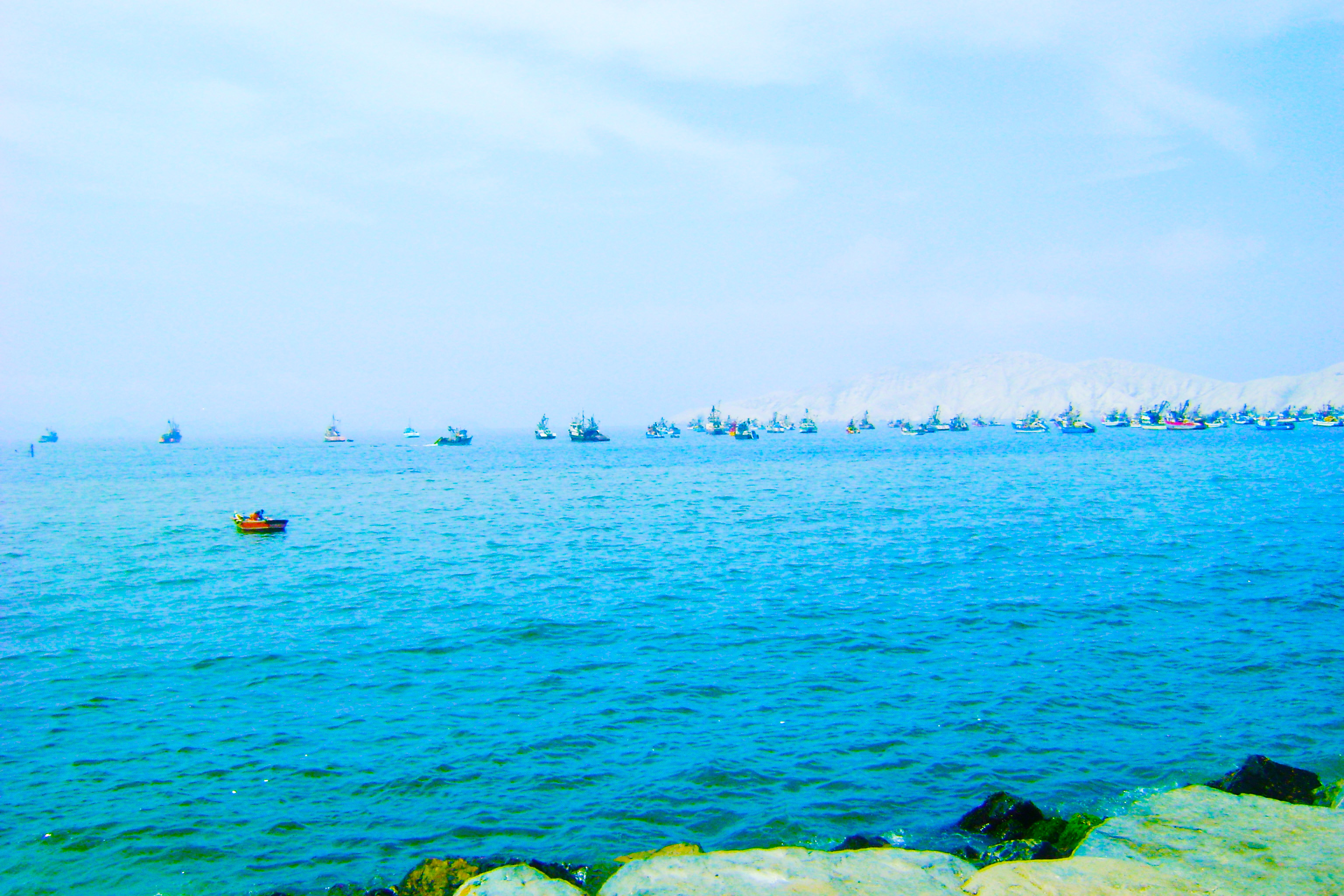
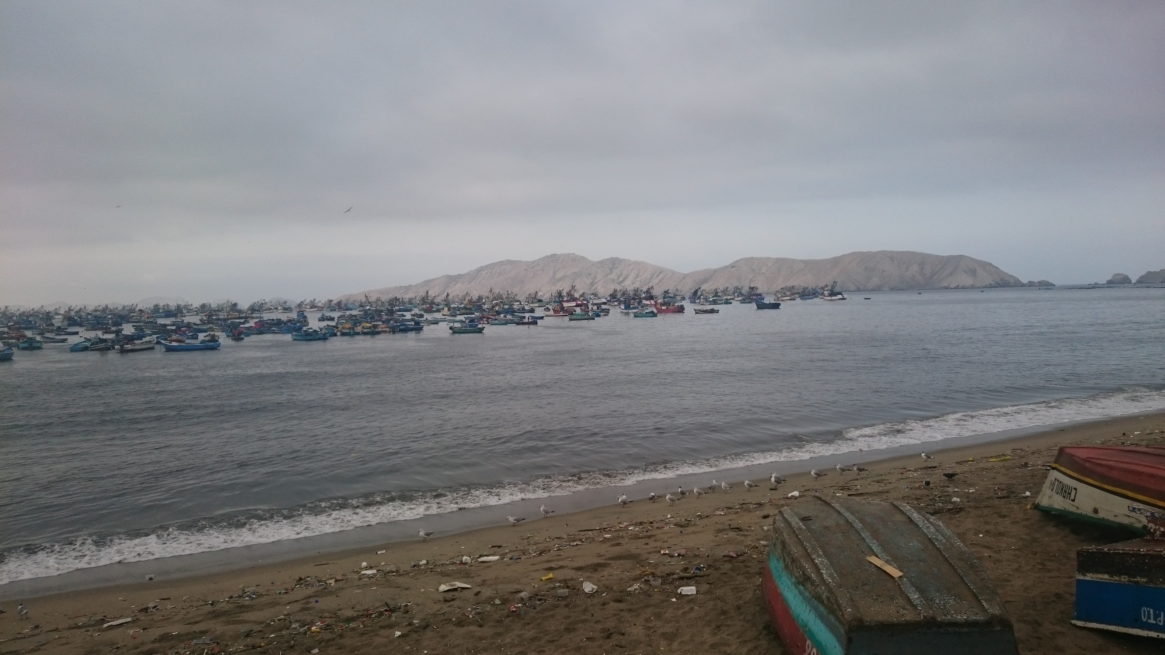
Chimbote and Isla Blanca

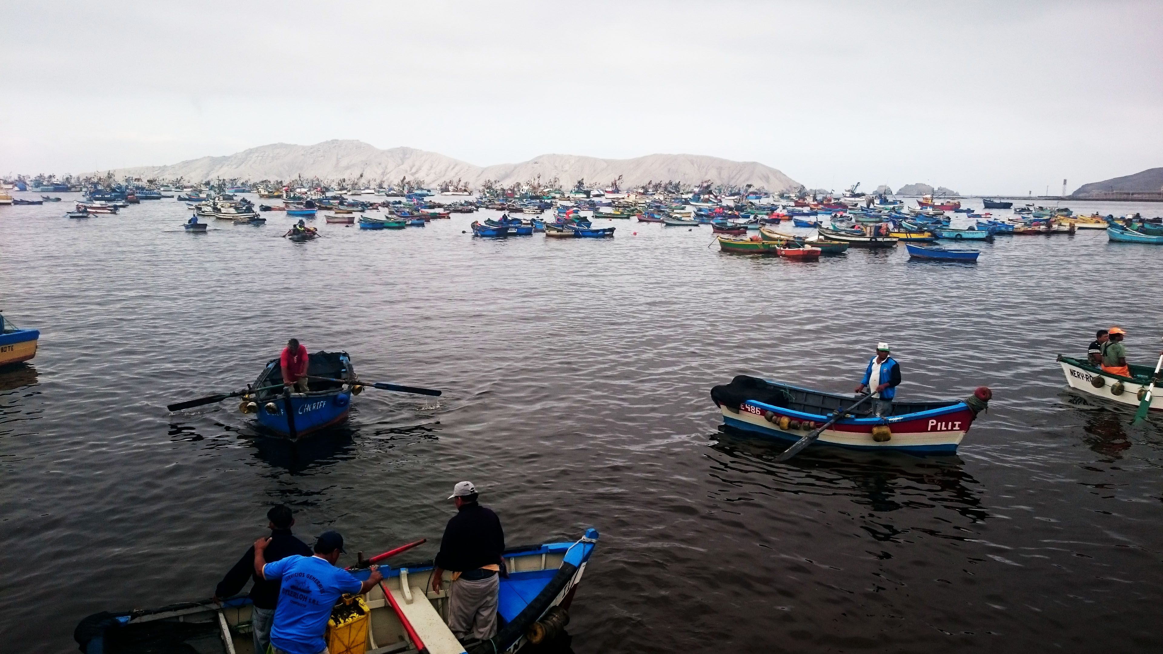
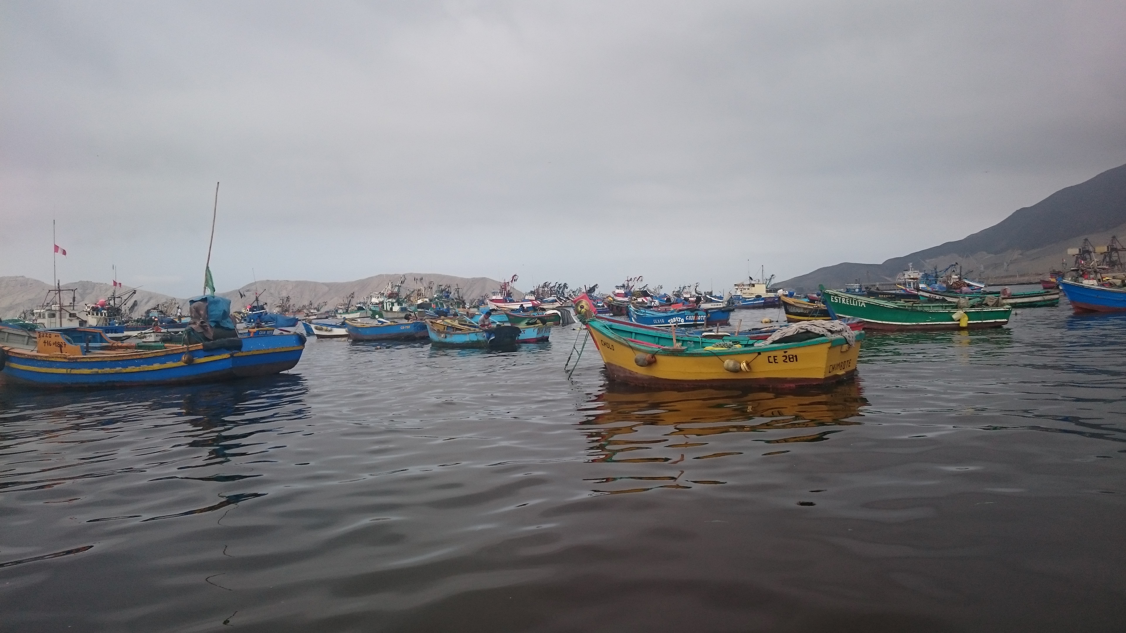
CHIMBOTE/fishermen
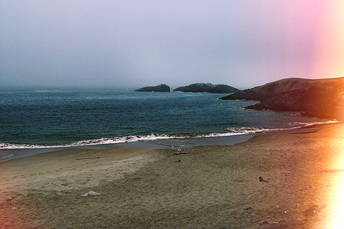
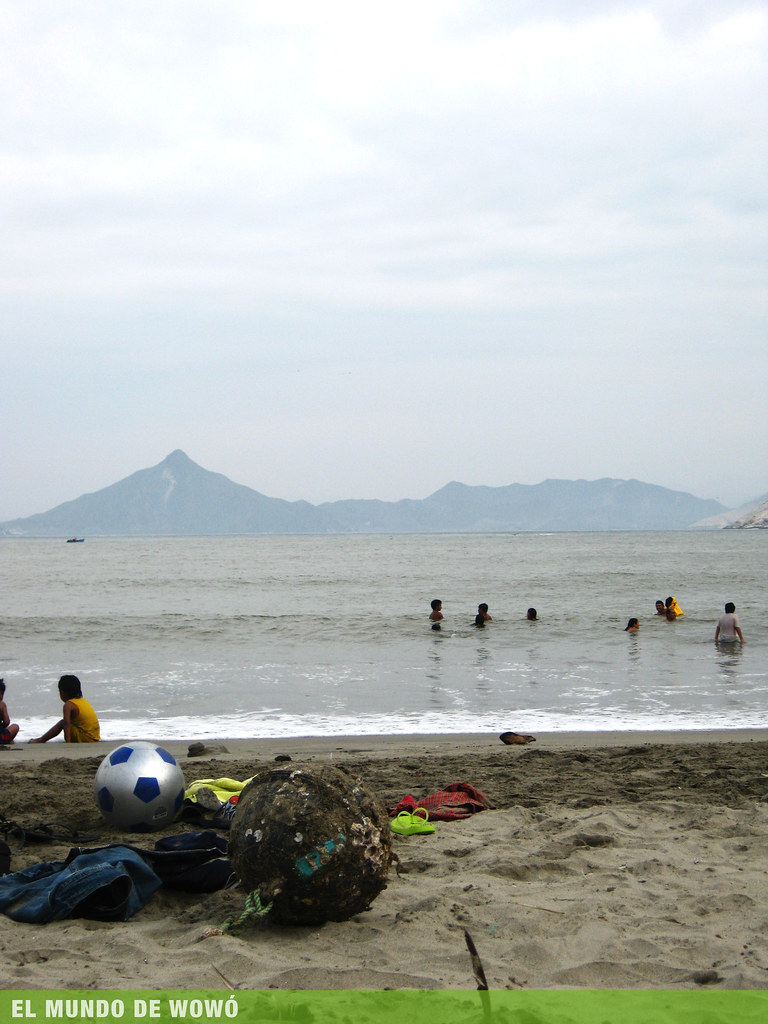
playa:)
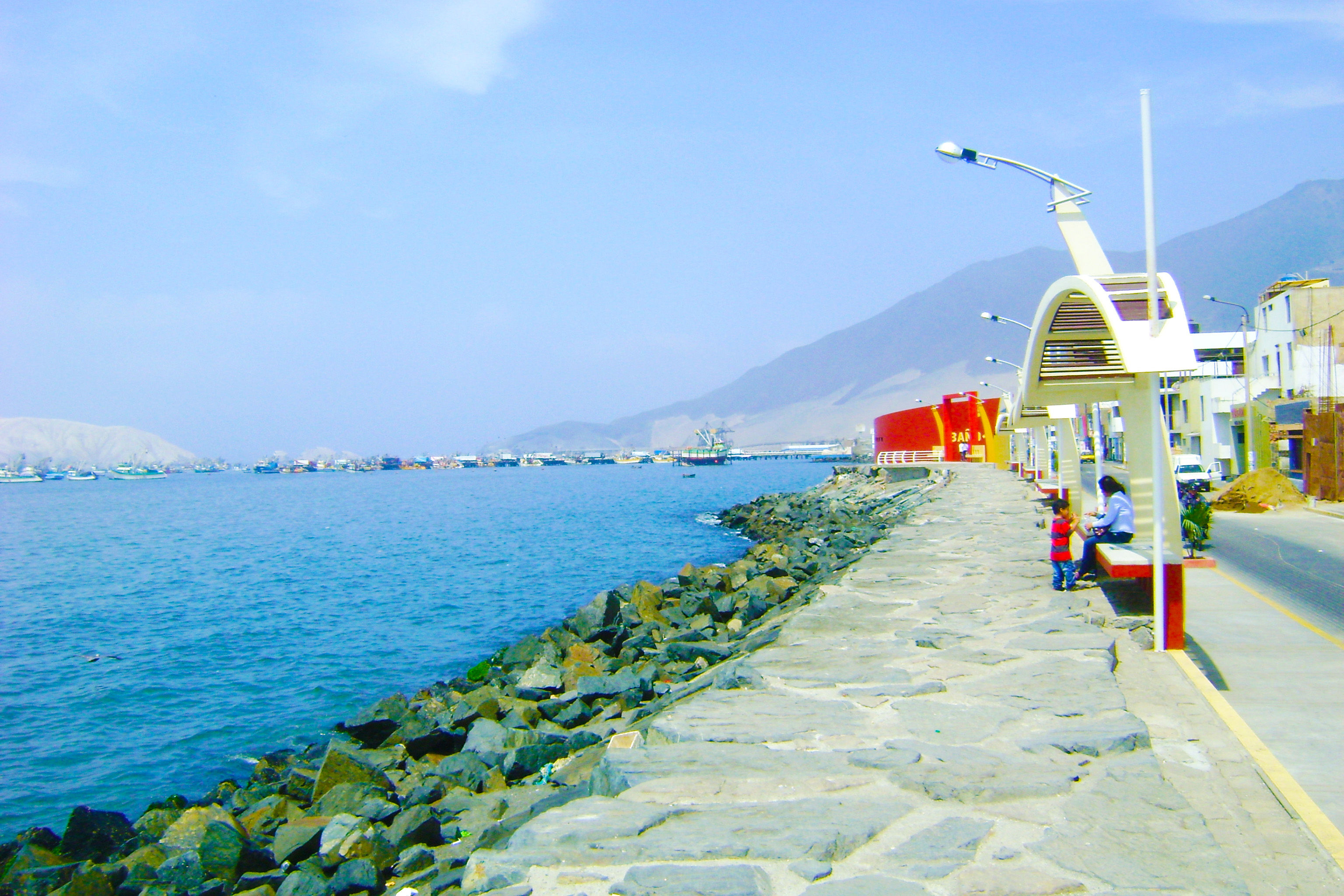
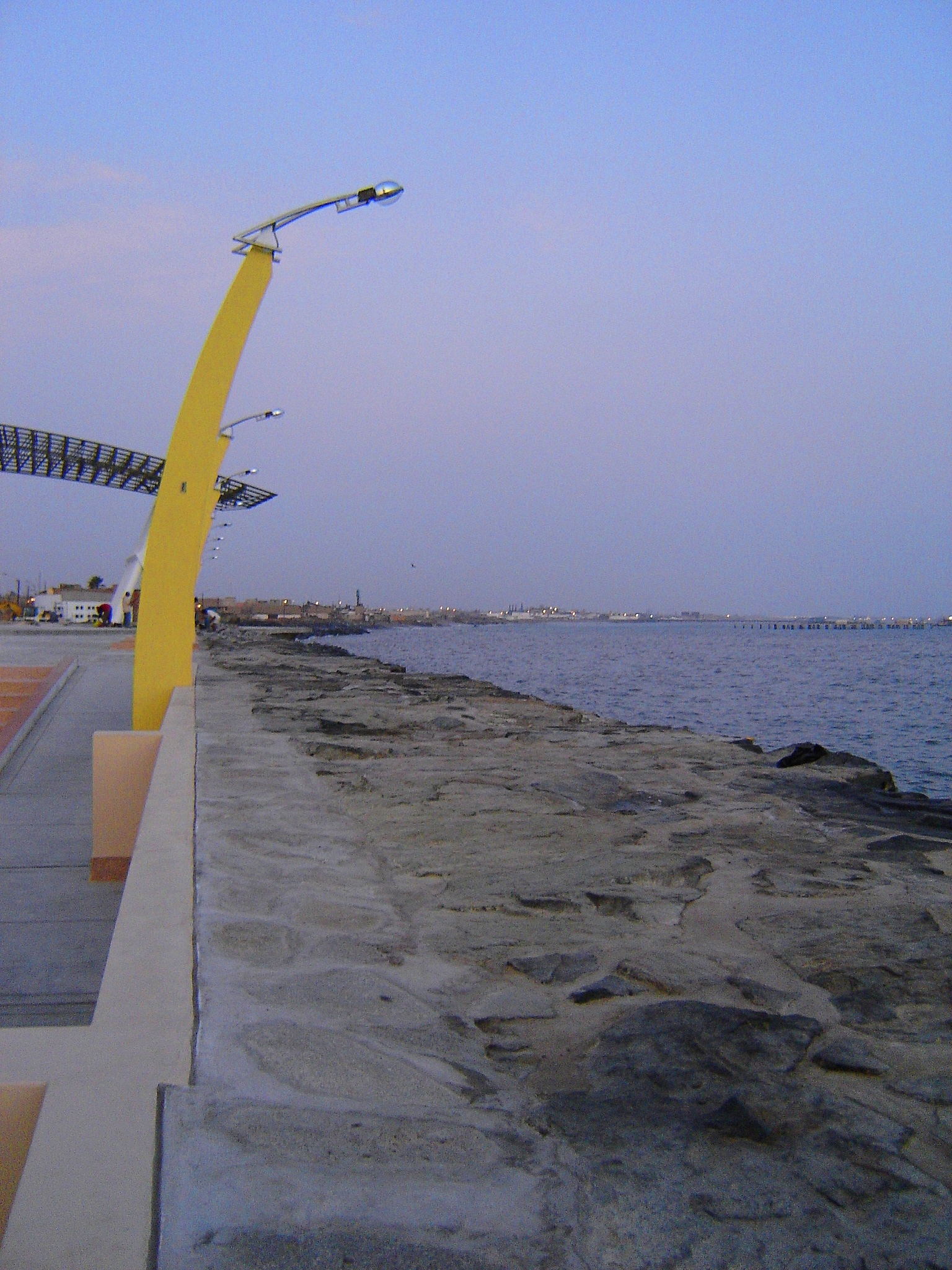
Puerto Chimbote - Malecón
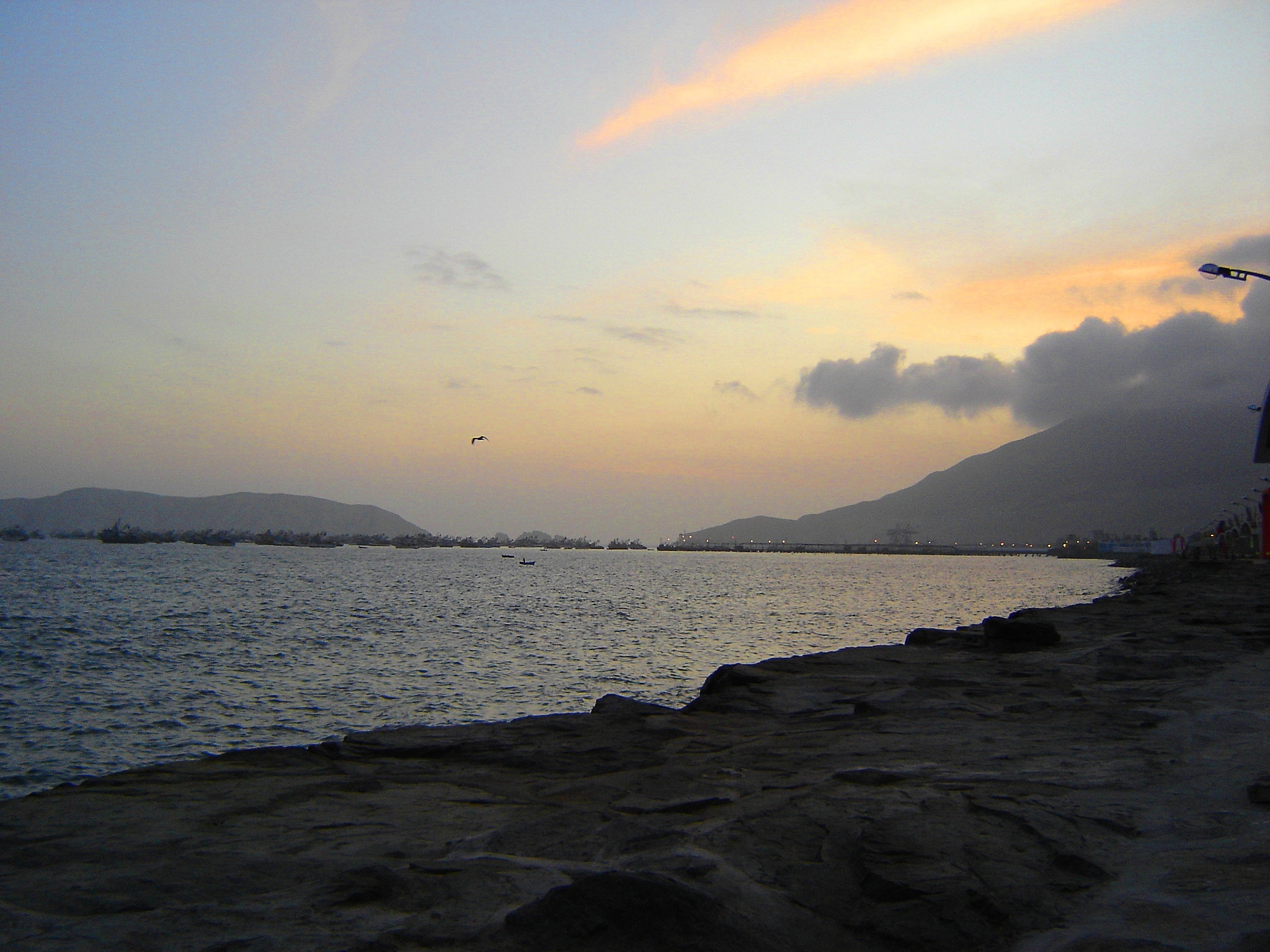
Bahia Chimbote
Puerto Chimbote

Perú. Viru

Peru. Chimbote
Malecón Chimbote
Mar mío
Peru-Chimbote (10)
Peru-Chimbote (2)
Peru-Chimbote (5)
Topographic Map of Santa District, Peru
Find elevation by address:

Places near Santa District, Peru:
Santa
Huaylas Province
PE-3N 50, Peru
Caraz
Yungay
Yungay Province
Nevado Pisco
Huascaran
Ancash
Ulta
Punta Olimpica
Yanama District
Chavin
14A 14, Peru
Asunción Province
Huaraz
Huaraz
Huaraz Pinar (puyas)
Nueva Florida
Piscobamba
Recent Searches:
- Elevation of Eldorado do Sul - RS, Brazil
- Elevation of Eldorado do Sul - Parque Eldorado, Eldorado do Sul - RS, -, Brazil
- Elevation of 35 Governors Ln, Hilton Head Island, SC, USA
- Elevation of Orangevale, CA, USA
- Elevation of Doe Cir, Clinton, OH, USA
- Elevation of Narhe, Pune, Maharashtra, India
- Elevation of Martins Mill Ct, Eagle Rock, NC, USA
- Elevation of Kippen, Stirling FK8, UK
- Elevation of Sieveringer Straße, Sieveringer Str., Wien, Austria
- Elevation of Bratskaya Ulitsa, 24, Kurgan, Kurganskaya oblast', Russia