Elevation of Sangtha
Location: Leh >
Longitude: 77.7058598
Latitude: 33.3168183
Elevation: 4404m / 14449feet
Barometric Pressure: 58KPa
Elevation Map:
Satellite Map:
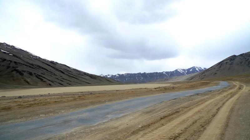
Related Photos:

Zara Chu trekking

Break Time
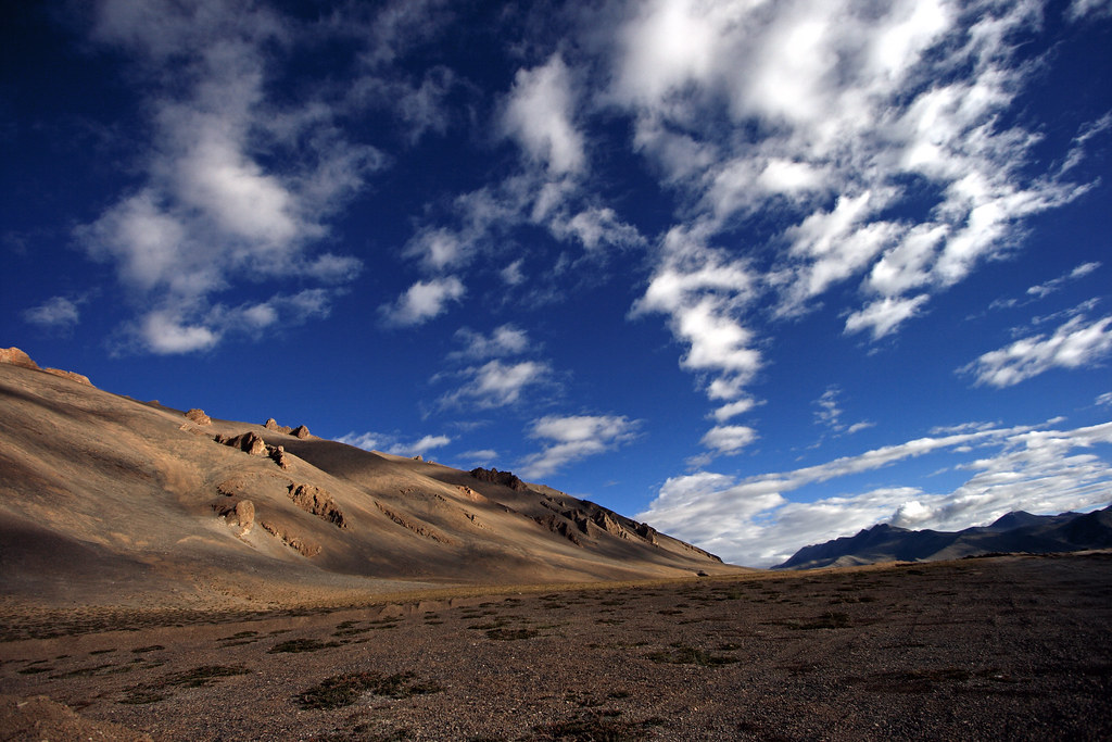
Surreal Moonscape

Morey Plains
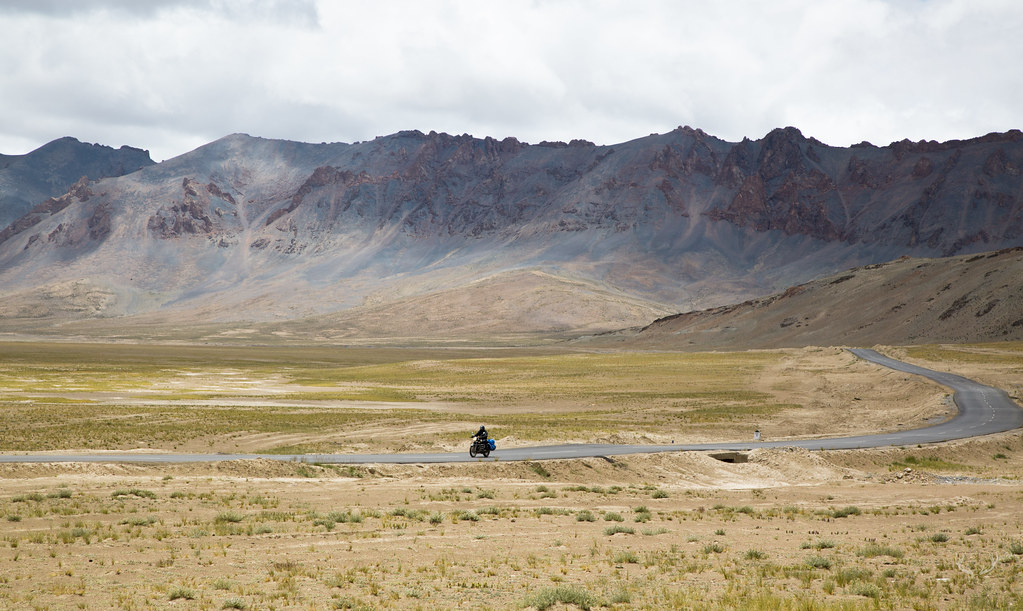
Ride to the top of the world
Landscape before reaching Tso Kar, India 2016
More Plains
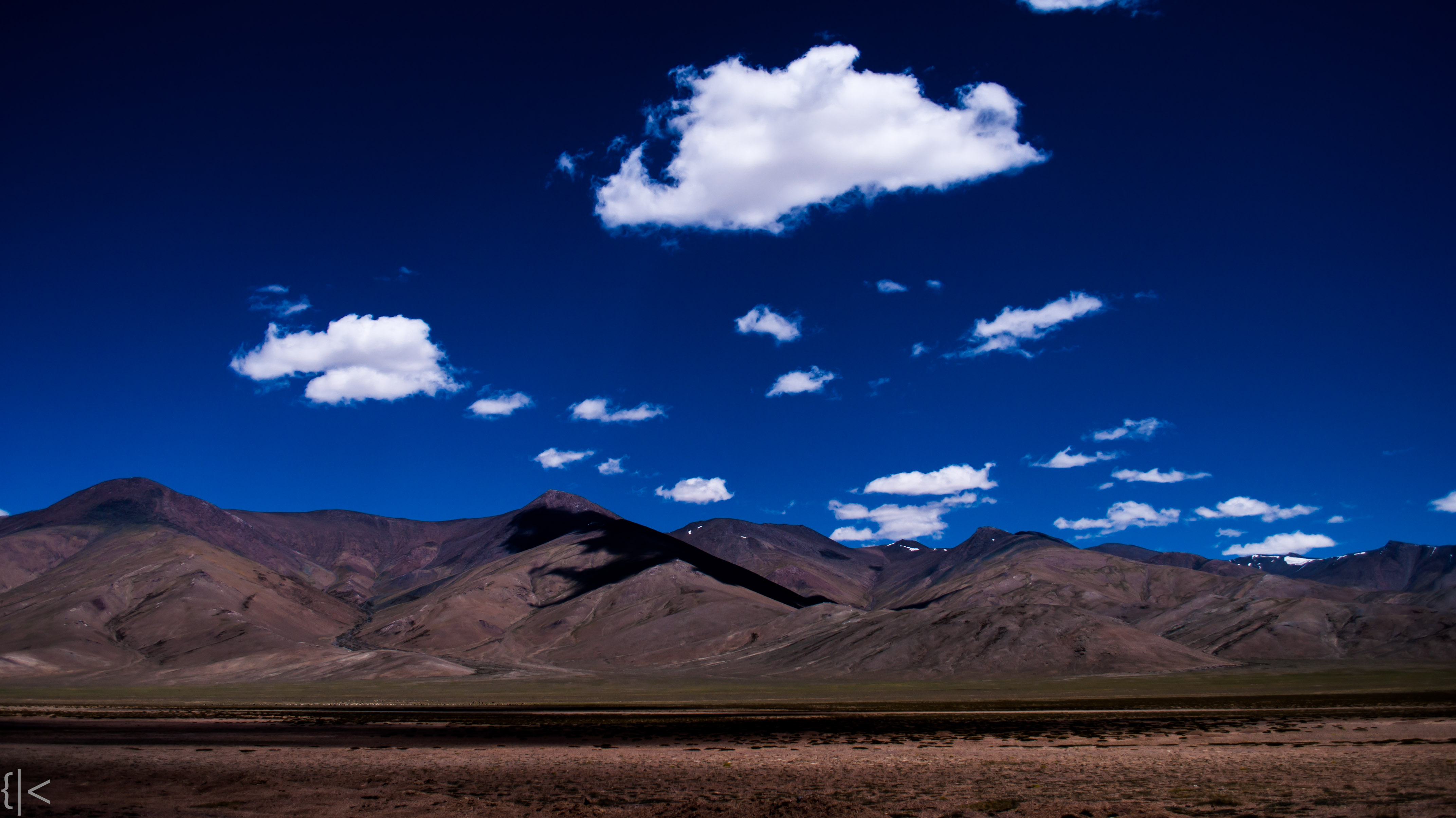
Morey Plains
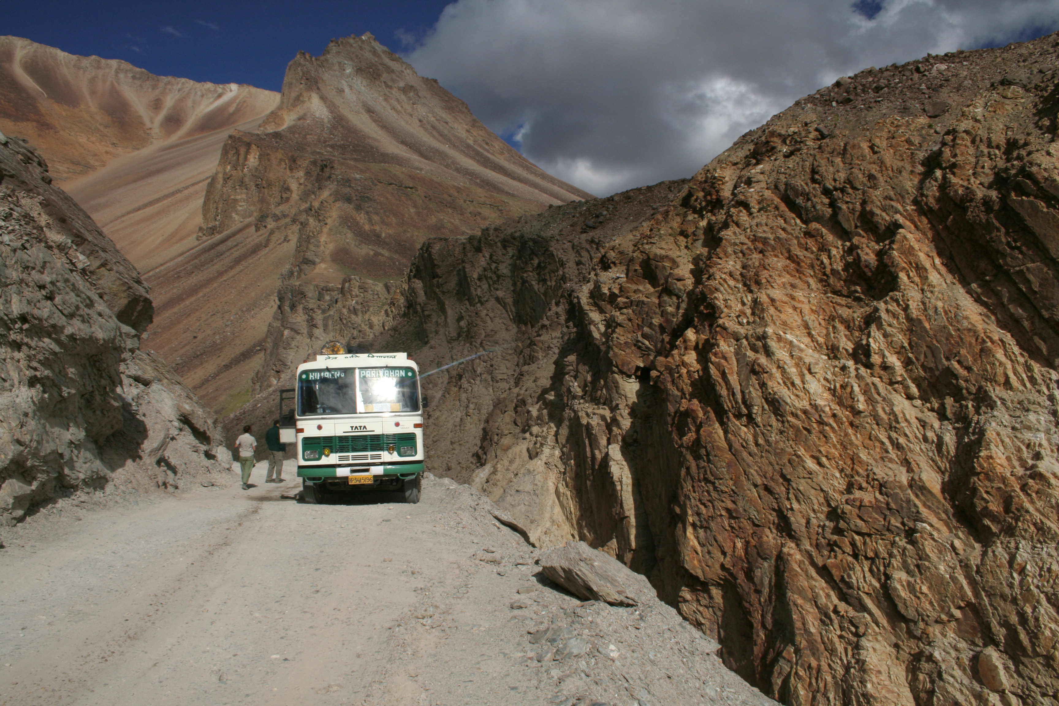
Cesta do Keylongu

P8085920.jpg

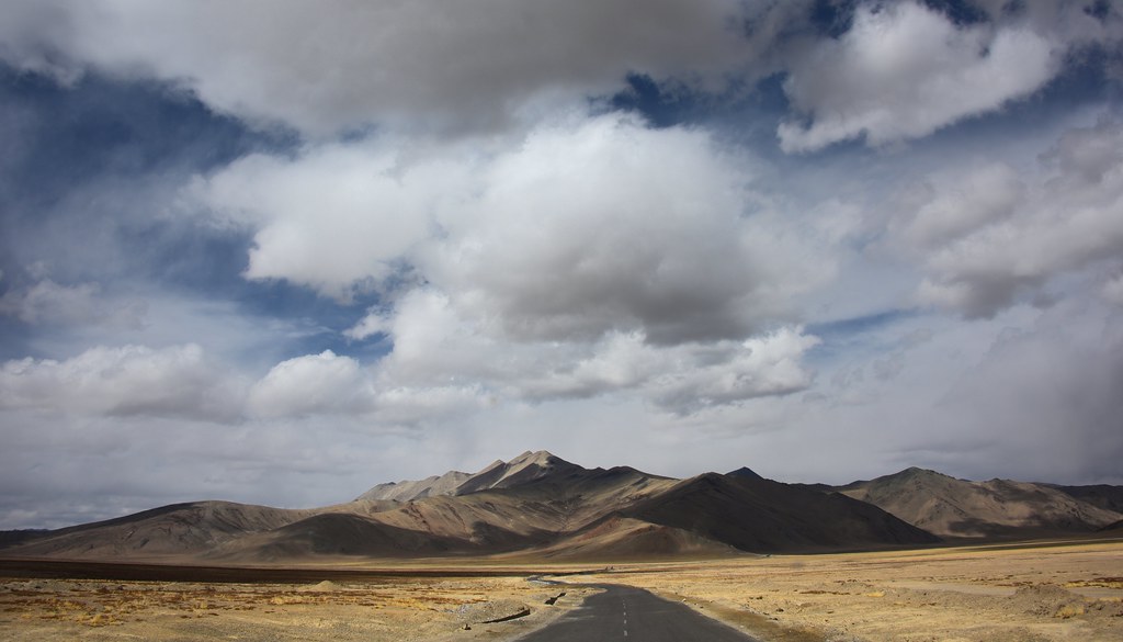
Highway to Keylongu
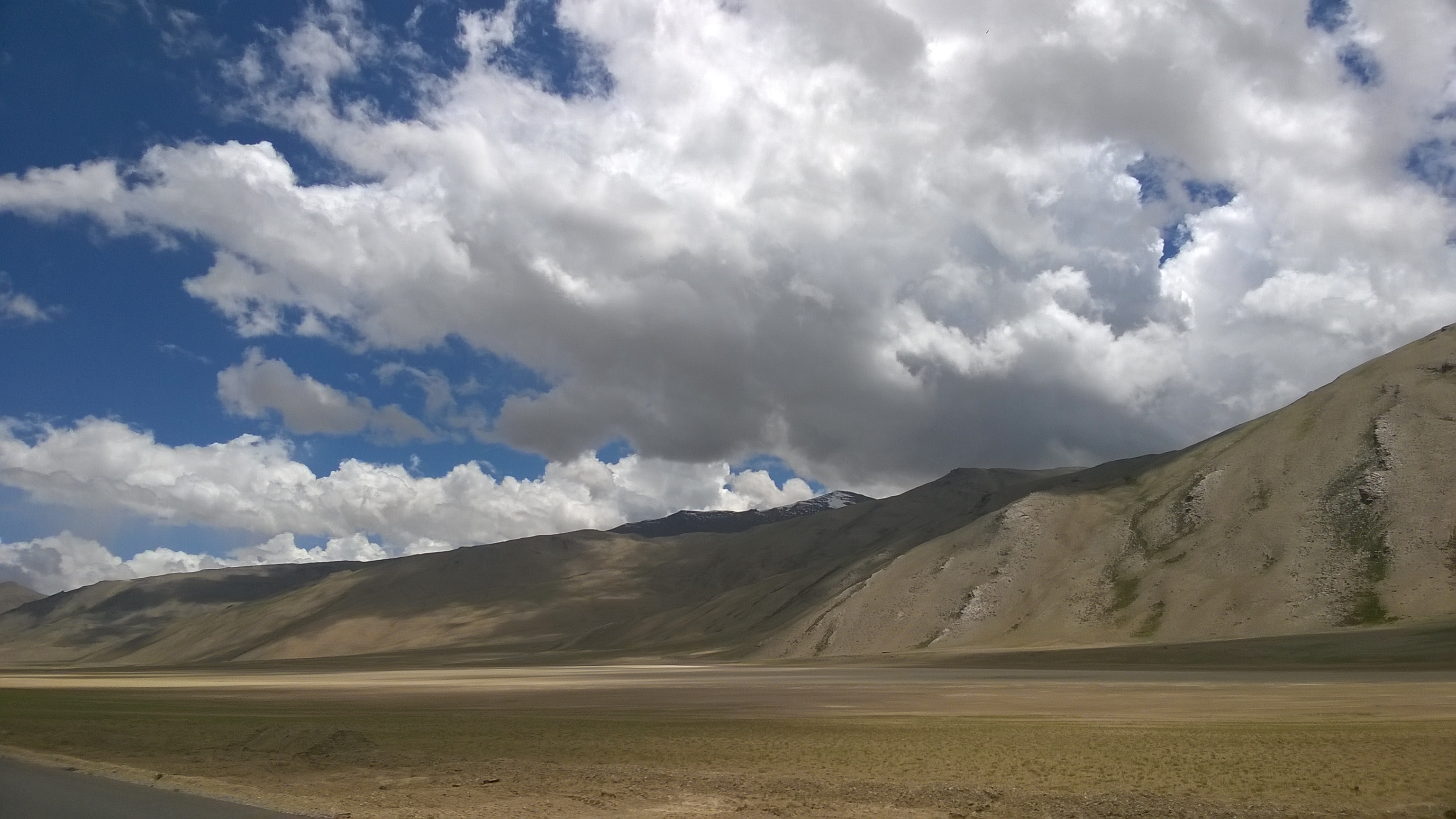
Day 6: Morey Plains
Topographic Map of Sangtha
Find elevation by address:

Places near Sangtha:
More Plains
Debring
Taglang La
Pang
Leh Manali Highway
Tso Kar
Polokongka La
Chumathang
Leh
Karzok
Tso Moriri
Lahaul And Spiti
Sour Tal
Chandra Taal
Kunzum Pass
Nyoma Gompa
Recent Searches:
- Elevation of Groblershoop, South Africa
- Elevation of Power Generation Enterprises | Industrial Diesel Generators, Oak Ave, Canyon Country, CA, USA
- Elevation of Chesaw Rd, Oroville, WA, USA
- Elevation of N, Mt Pleasant, UT, USA
- Elevation of 6 Rue Jules Ferry, Beausoleil, France
- Elevation of Sattva Horizon, 4JC6+G9P, Vinayak Nagar, Kattigenahalli, Bengaluru, Karnataka, India
- Elevation of Great Brook Sports, Gold Star Hwy, Groton, CT, USA
- Elevation of 10 Mountain Laurels Dr, Nashua, NH, USA
- Elevation of 16 Gilboa Ln, Nashua, NH, USA
- Elevation of Laurel Rd, Townsend, TN, USA