Elevation of Sandtrap Ave, Little River, SC, USA

Location: United States > South Carolina > Horry County > Little River >

Longitude: -78.645671

Latitude: 33.8677291

Elevation: 11m / 36feet

Barometric Pressure: 101KPa

Elevation Map:

elevation map of Sandtrap Ave, Little River, SC, USA

Satellite Map:

Satellite map of Sandtrap Ave, Little River, SC, USA

Related Photos:

wave waves crashingwave wavecrashing spray mist oceanspray seaspray sea ocean oceanwave beach inlet rocks boulders coast coastline jetty jettyrocks blackandwhite blackwhite blackandwhitephotography outdoor outdoors getoutside northcarolina southcarolina water saltwater nikond3300 nikon nikonphotography nikonoutdoors lightroom adobelightroom travel travelphotography crashing lightandshadow clouds landscape landscapephotography landscapes geography birdisland scenicsnotjustlandscapes shore shoreline littleriverinlet
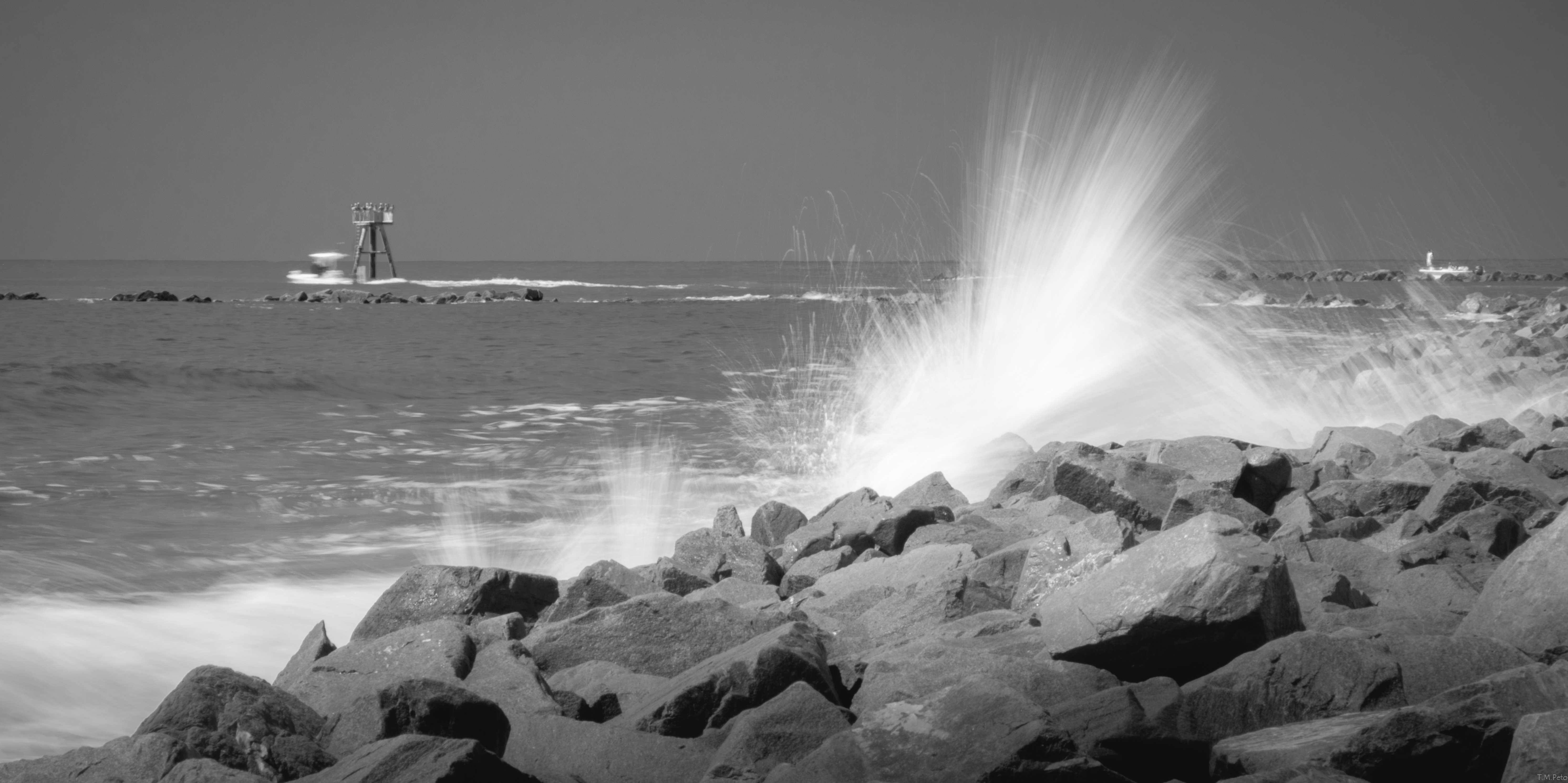
A wave crashes along the NC/SC boundary
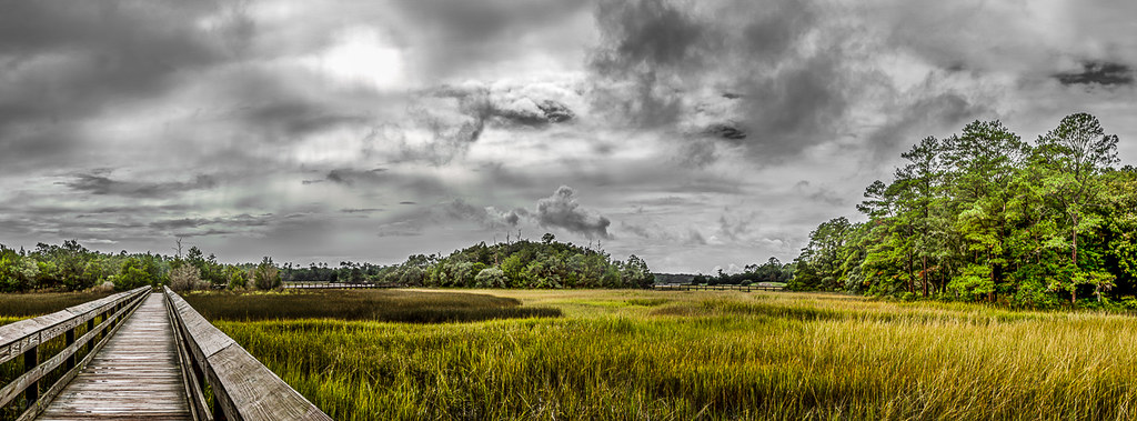
Day 901 - Sunset Over The Marsh
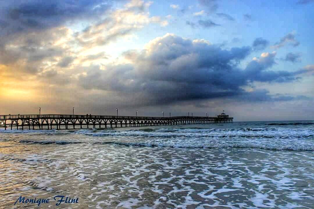
ocean morning blue sky beach nature water weather clouds sunrise landscape pier cloudy weatherphotography
Morning at the Pier
moon cherrygrovepier northmyrtlebeachsc
"Super" moon on May 5, 2012
southcarolina vereengardens
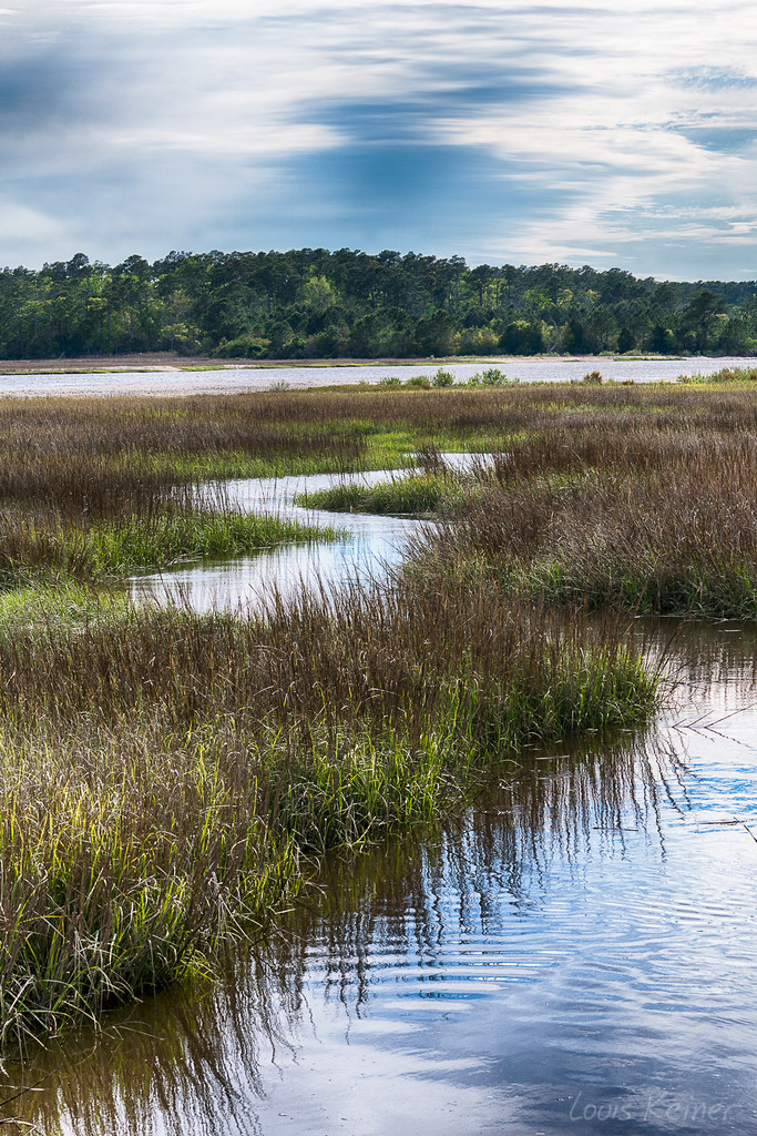
LK_20170408_0170_HDR-sm
cherrygrovebeach northmyrtlebeach southcarolina cherrygrovefishingpier fishingpier pier under ocean oceanwave oceanswaves waves wavecrashing crashingwave pillars deck sea seashore beach tidal barnacles wood woodenstructure supportbeams architecture coast coastline coastal perspective angles nikond3300 nikon nikonphotography nikonoutdoors scenicsnotjustlandscapes scenery adobelightroom lightroom outside
Cherry Grove Fishing Pier
ocean beach nature water landscape pier sand waves shore pilings
Under the Pier
unitedstates southcarolina littleriver vereengardens
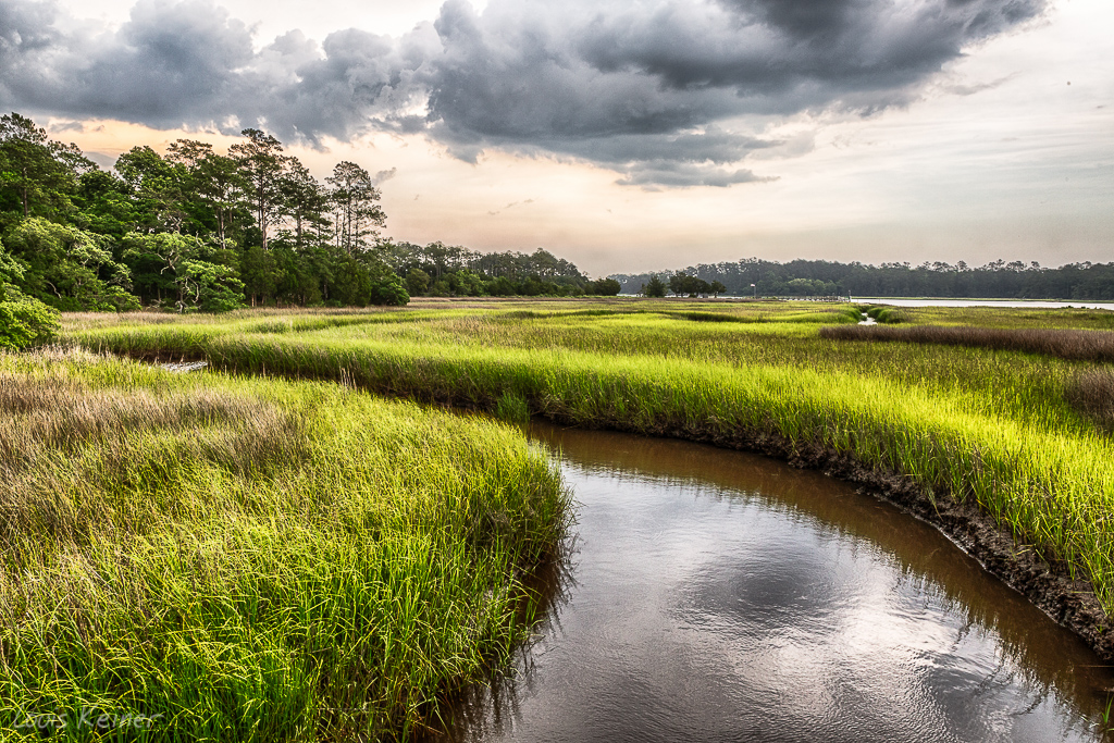
LK_20140605_0035_HDR-sm
ocean longexposure bw panorama beach sc canon landscape pier sand waves waterfront sandy 110 southcarolina shift panoramic atlantic le shore license nd getty 5d gettyimages verticalstitch shifted northmyrtlebeach cherrygrovefishingpier tse24mmmkii tse24lii kennymccartney
Cherry Grove Pier
watiesisland
LK_20140727_0101_HDR-sm
2011-10-30-Myrtle-299
nature water
Coquina Harbor
Looking North @NMB
beach sunrise
ripples-1
columbus usa abstract beach landscape nc sand surf ngc alantic “columbus 2011 beach” county” “canon “north carolina” “project anawesomeshot 365” flickraward “sunset g12”
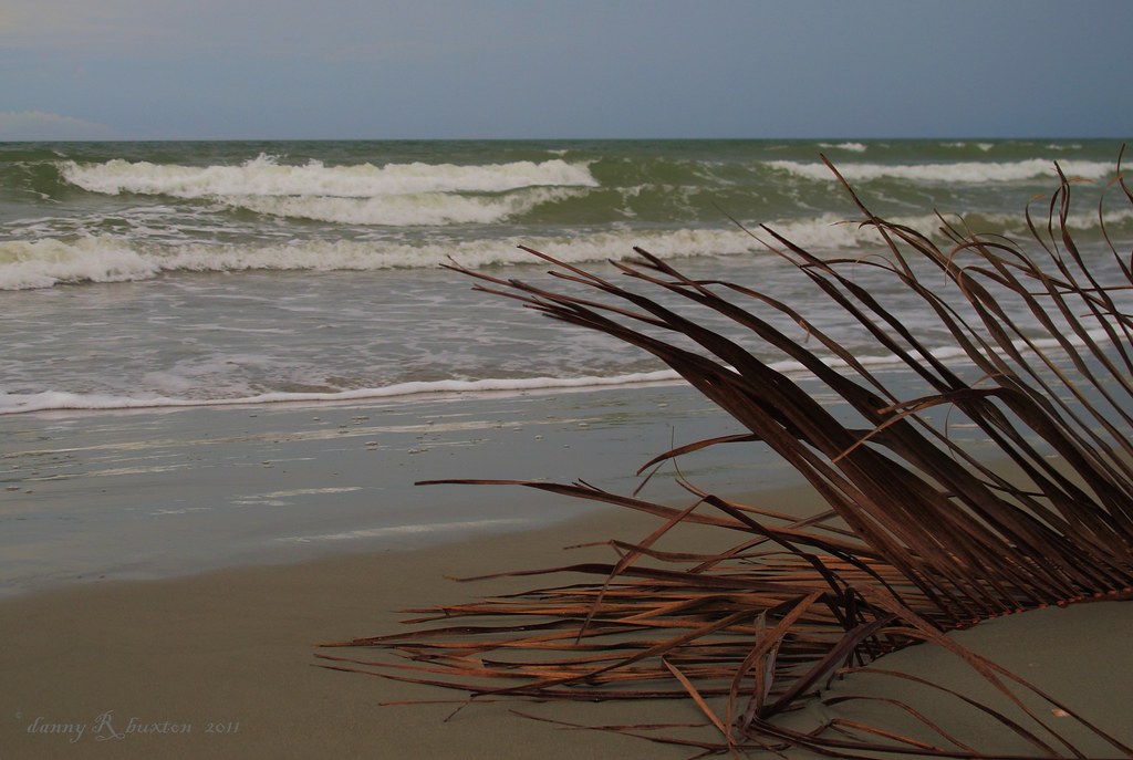
Beachcombing 265/365
unitedstates southcarolina littleriver vereengardens
LK_20140605_0040_HDR-sm
grass trash myrtlebeach garbage weeds parkinglot ditch landscaping pavement parking lawn january southcarolina slide down litter pollution bushes shrubs slope shrubbery newyearsday incline drainage paved bojangles kingsroad runoff concreteslide dirtywater mowed disposablecups browngrass drainageditch myrtlebeachsouthcarolina standingwater swampwater stagnantwater 2013 ditchwater grandstrand mowedgrass horrycounty img4652 brownlawn drainagesystem roadsideditch parkinglotlandscaping parkinglotrunoff bojanglesfamouschickennbiscuits landscapingshrubs landscapingshrubbery parkinglotdrainage swampywater january2013 20130101 horrycountysouthcarolina myrtlebeachmetropolitanarea northeasternsouthcarolina northeastsouthcarolina parkinglotdrainagesystem weedyditch concreteincline concreteslope
Ha ha drainage system.
ocean water birds reflections landscape outdoors seaside nikon wildlife northcarolina waterfowl seashore calabashnc d800e easterncarolinas richstrobel
Bird-Great Egret
birdisland littleriverinlet littleriver southcarolina coast coastline ocean sea wave waves wavecrashing seaspray boat jetty rocks inlet shore shoreline landscape landscapephotography landscapes scenic scenery sceneryphotography outdoor outdoors outdoorphotography nikonoutdoors nikon nikond3300 nikonphotography adobelightroom lightroom outside god’screation wanderlust travel travelphotography nature naturephotography saltwaterlife slowshutter
Bird Island, Little River Inlet
littleriversc vereengardens
LK_20131006_0072-74-sm
myrtle beach 2007 008