Elevation of Sandisfield, MA, USA
Location: United States > Massachusetts > Berkshire County >
Longitude: -73.143163
Latitude: 42.1125914
Elevation: 474m / 1555feet
Barometric Pressure: 96KPa
Elevation Map:
Satellite Map:
Related Photos:

FF91: 99 Bottles/99 Problems
country road

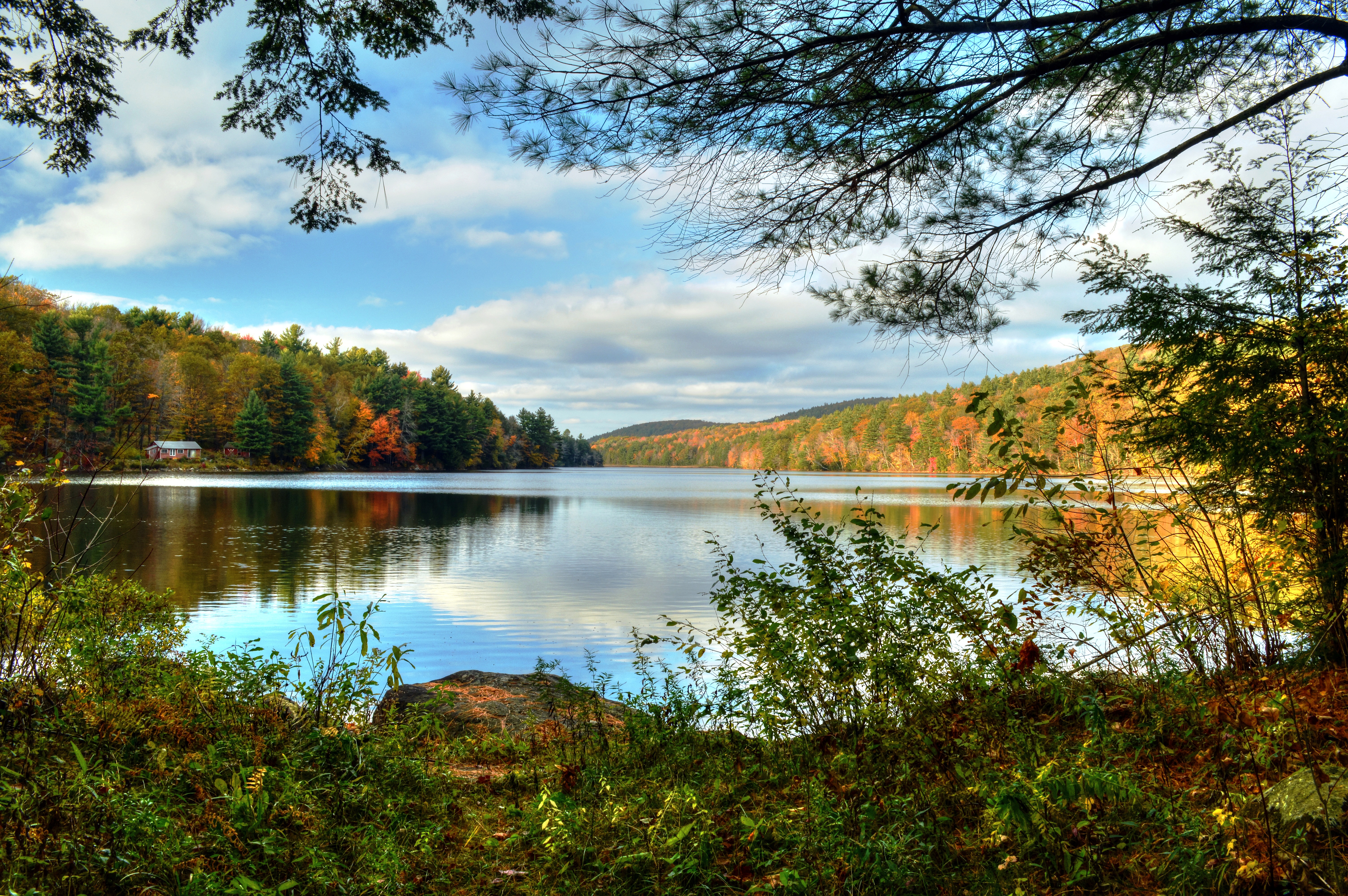
Steadman Pond in Early Spring

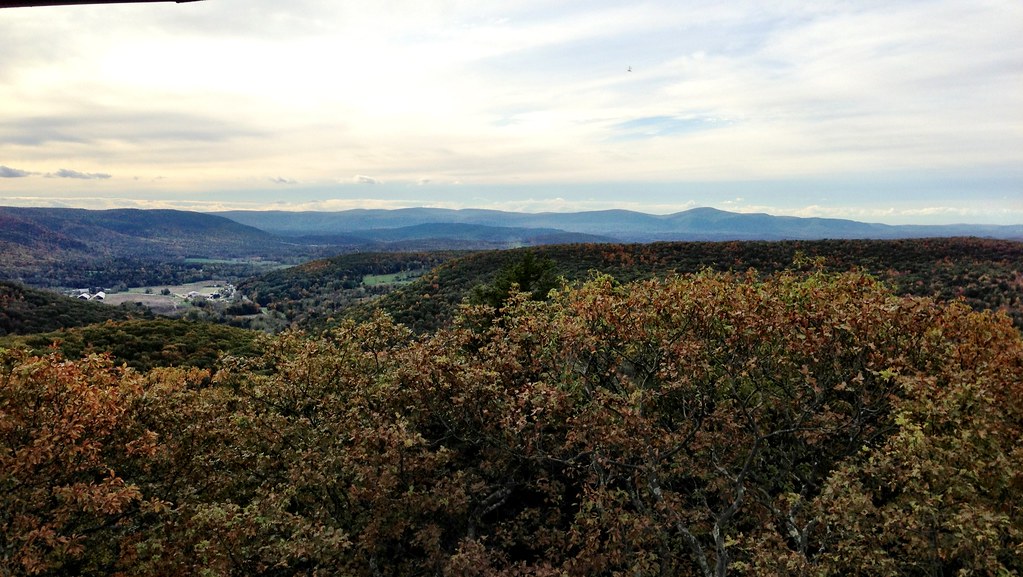
View from the Tower
The coolest thing in Massachusetts.

York Lake, near Southfield, MA - long exposure

Barney enjoyed the view as much as I did.
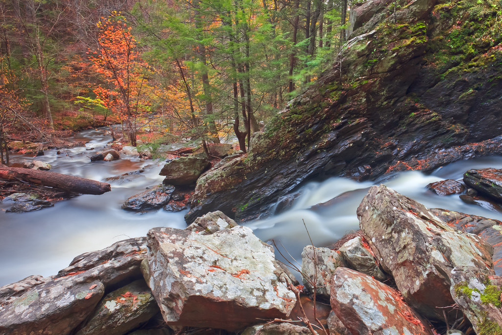
Campbell Falls, New Marlborough

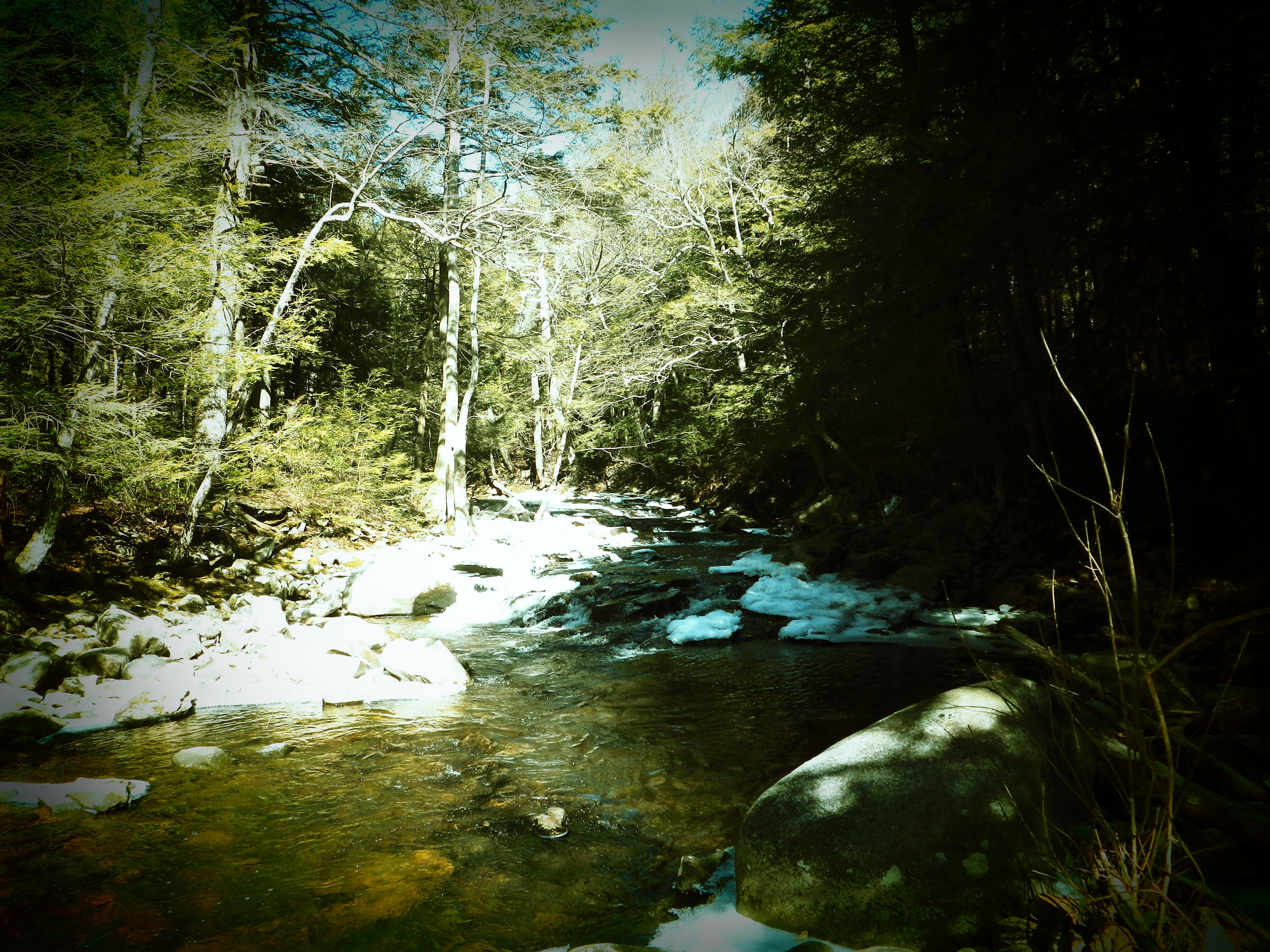
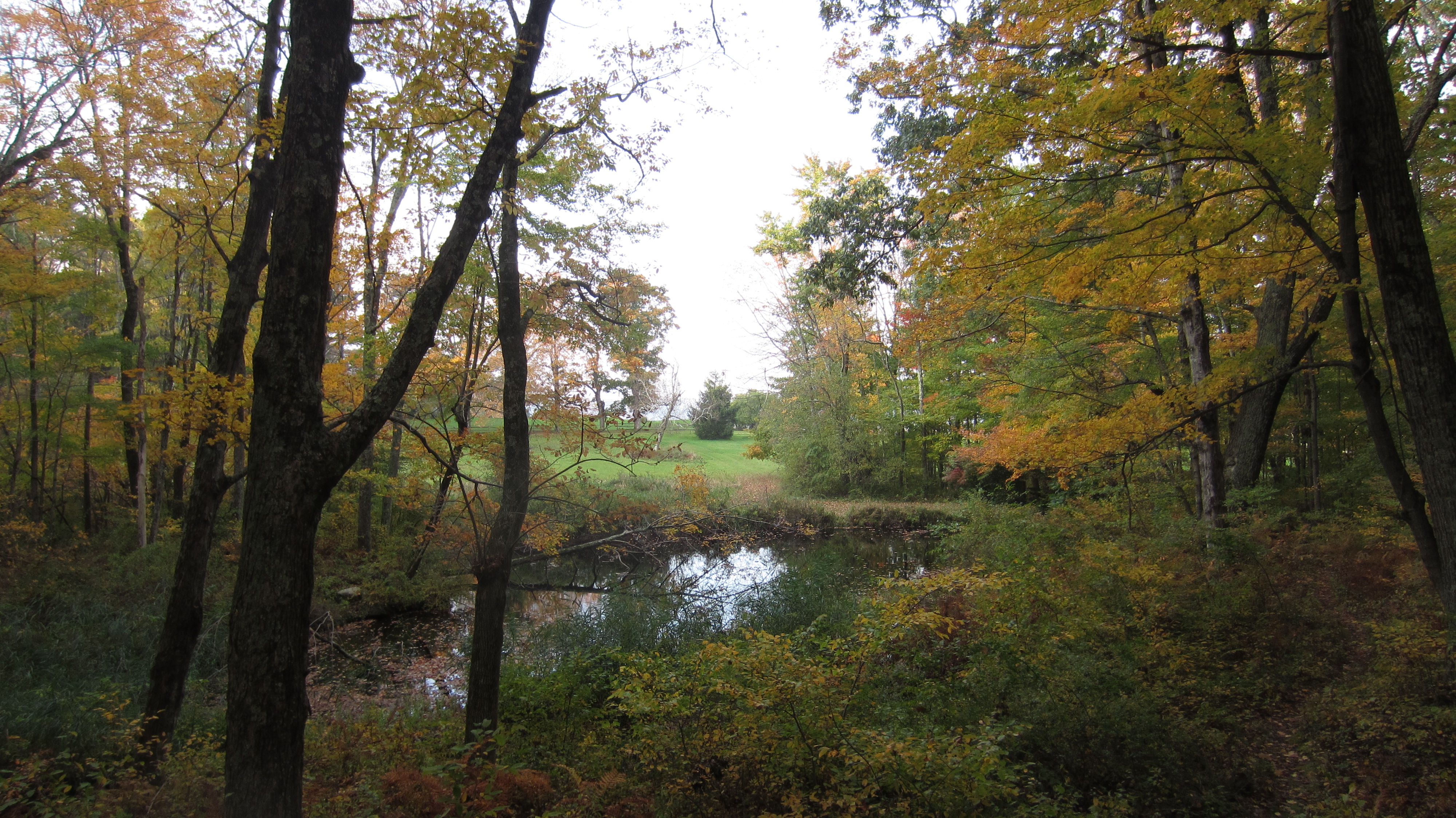
By the Stream
Campbell Falls-Norfolk 01-25-2015_0001

View from Tyringham Coble
Campbell Falls-Norfolk 01-25-2015_0001a
Caddisfly, Leptocerus americanus
Camp Window in Autumn
Lining the Road
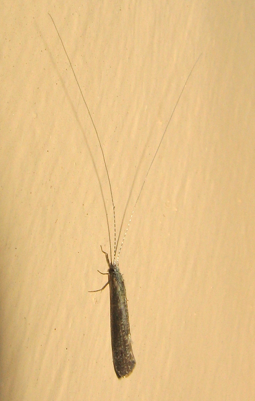
Caddisfly, Leptocerus americanus
View from Haystack Mountain towards Bear Mountain
Tinge of Red

View from the Tower
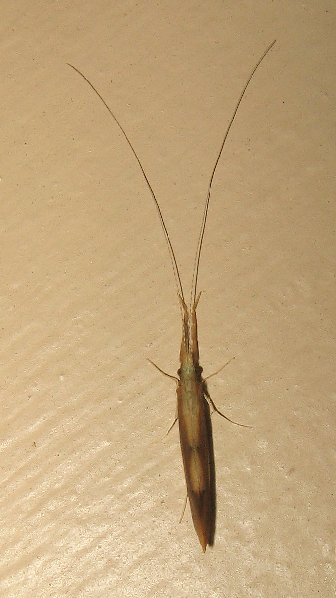
Large caddisfly (Triaenodes?)

Campbell Falls-Norfolk 01-25-2015_0008

Ore Hill Trail

Shaw Pond #Massachusetts #ontheroad #skysnappers #skyporn #cloudporn #clouds #waterscapes #htcevo4glte #htc #weatherchannel #thisisnow
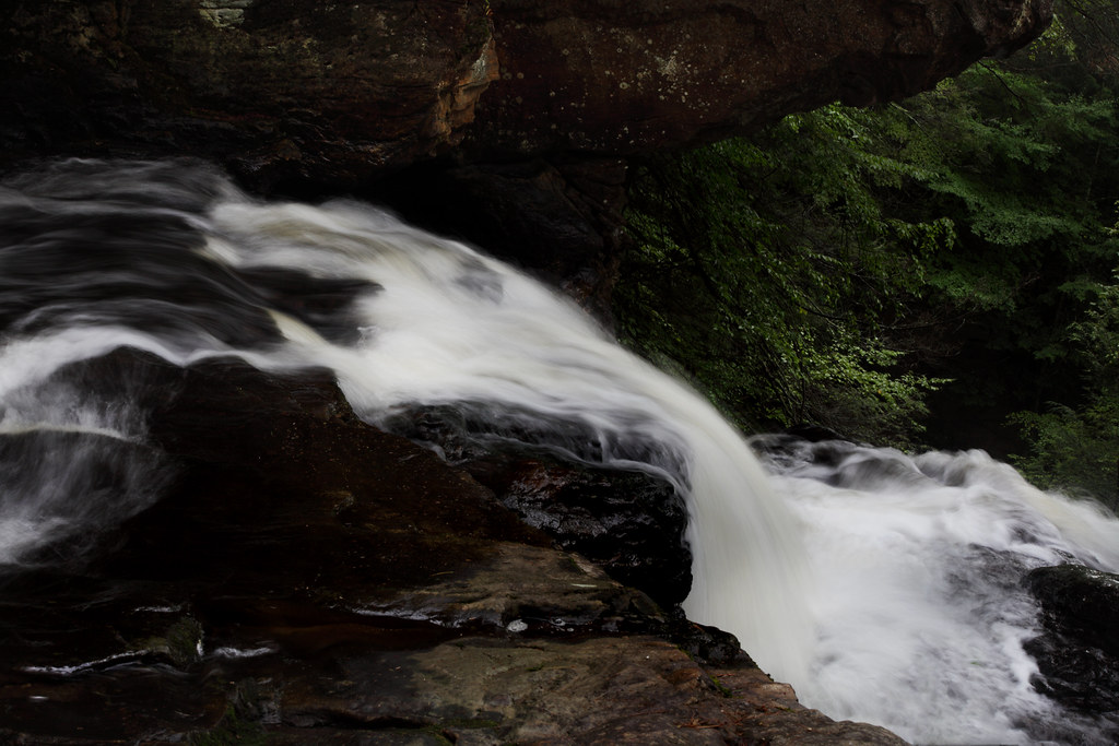
Upper Campbell Falls

Leading the way.
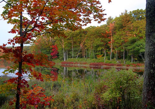
Lower Spectacle Pond
Hubbard River

Apple Orchard - Storm Impression

Beaver Dam
Hubbard River

Campbell Falls - Half Mass, Half Conn
Down to the river
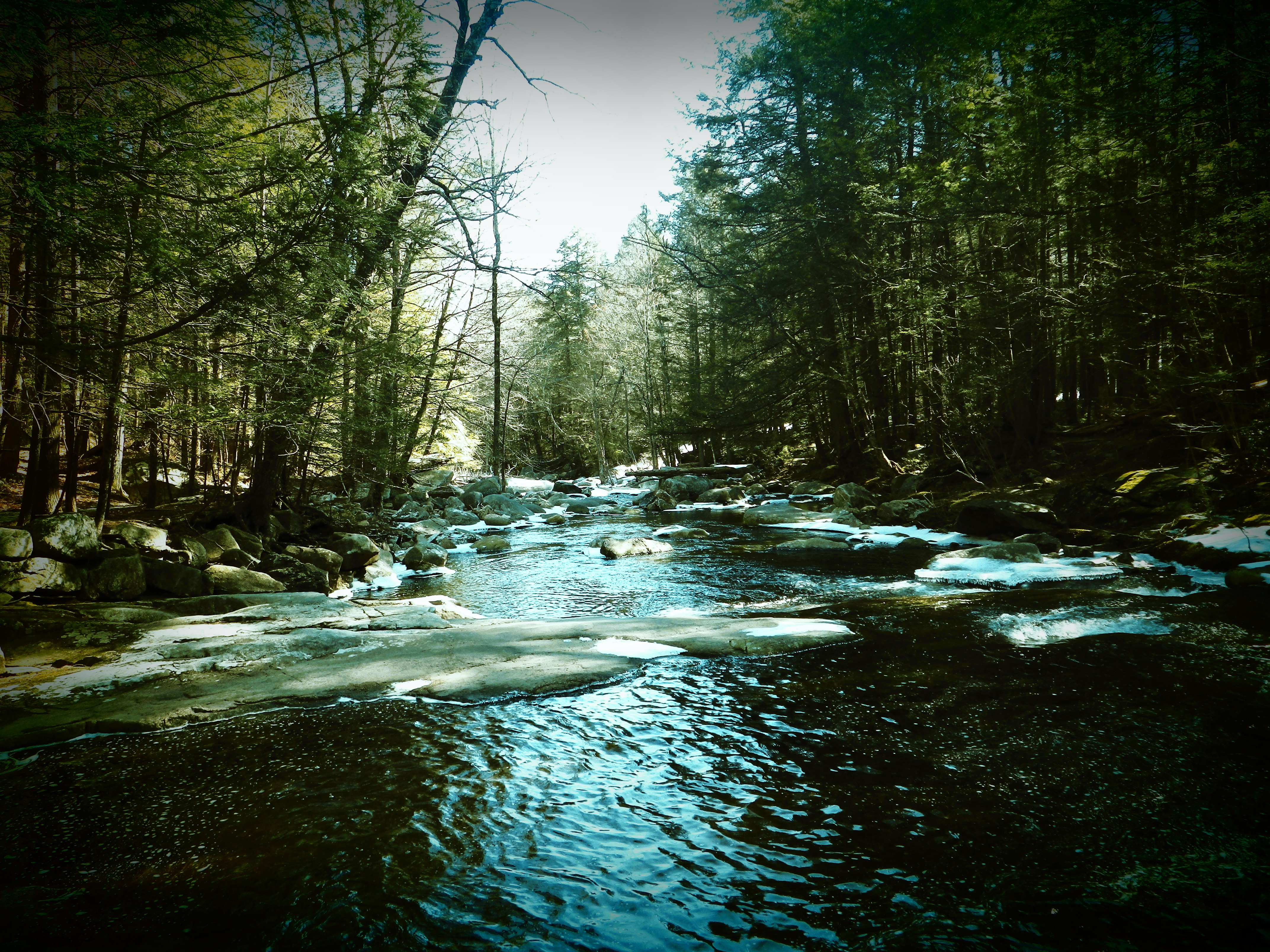
Hubbard River
Camp Merola Pond
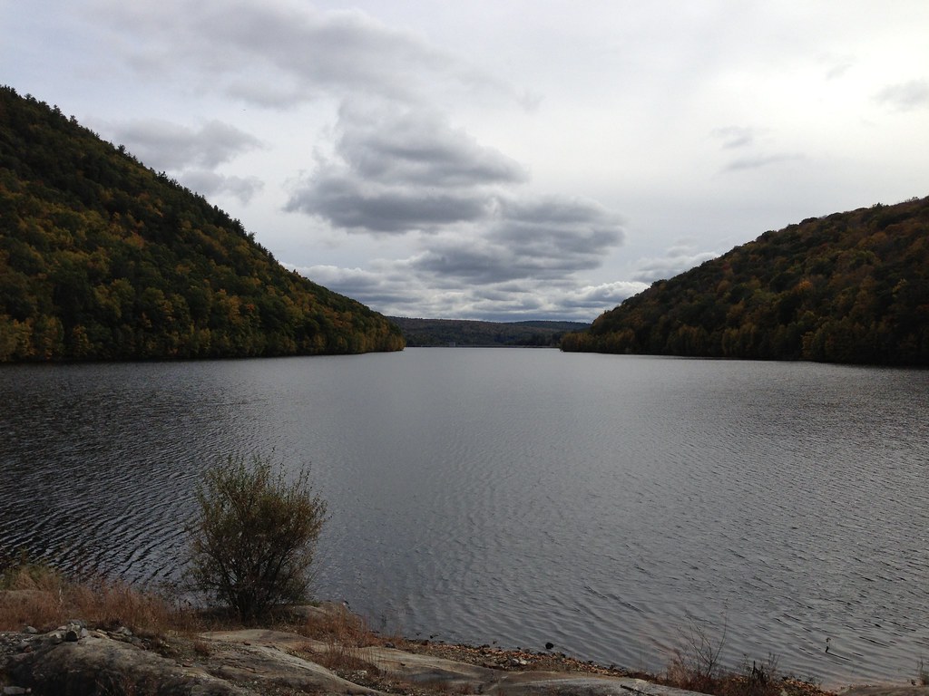
photo.JPG

Norfolk, CT

DSC09400.JPG
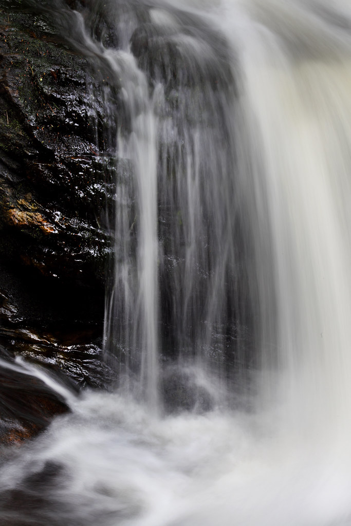
Upper Campbell Falls
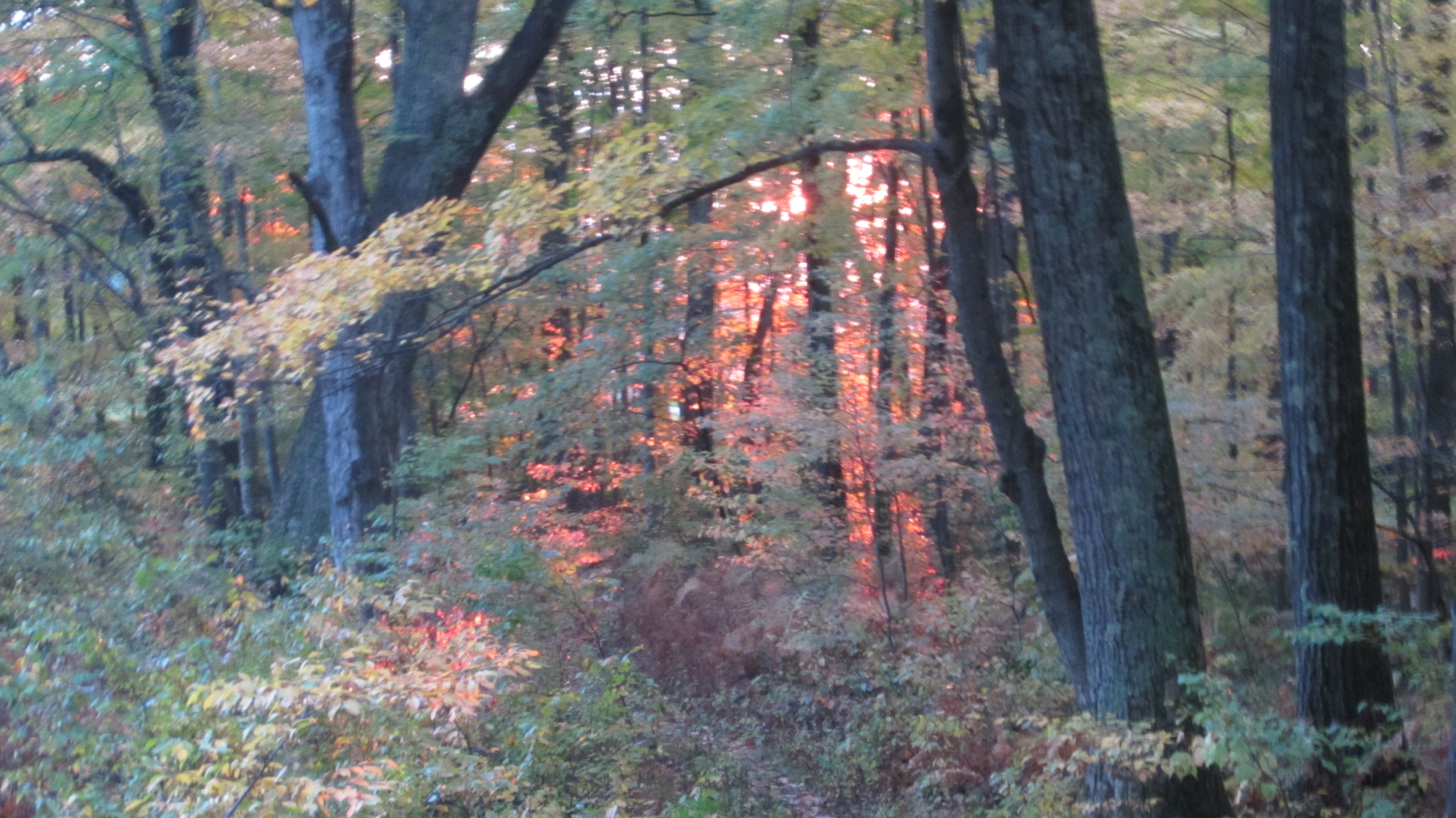
Sunset Trees II

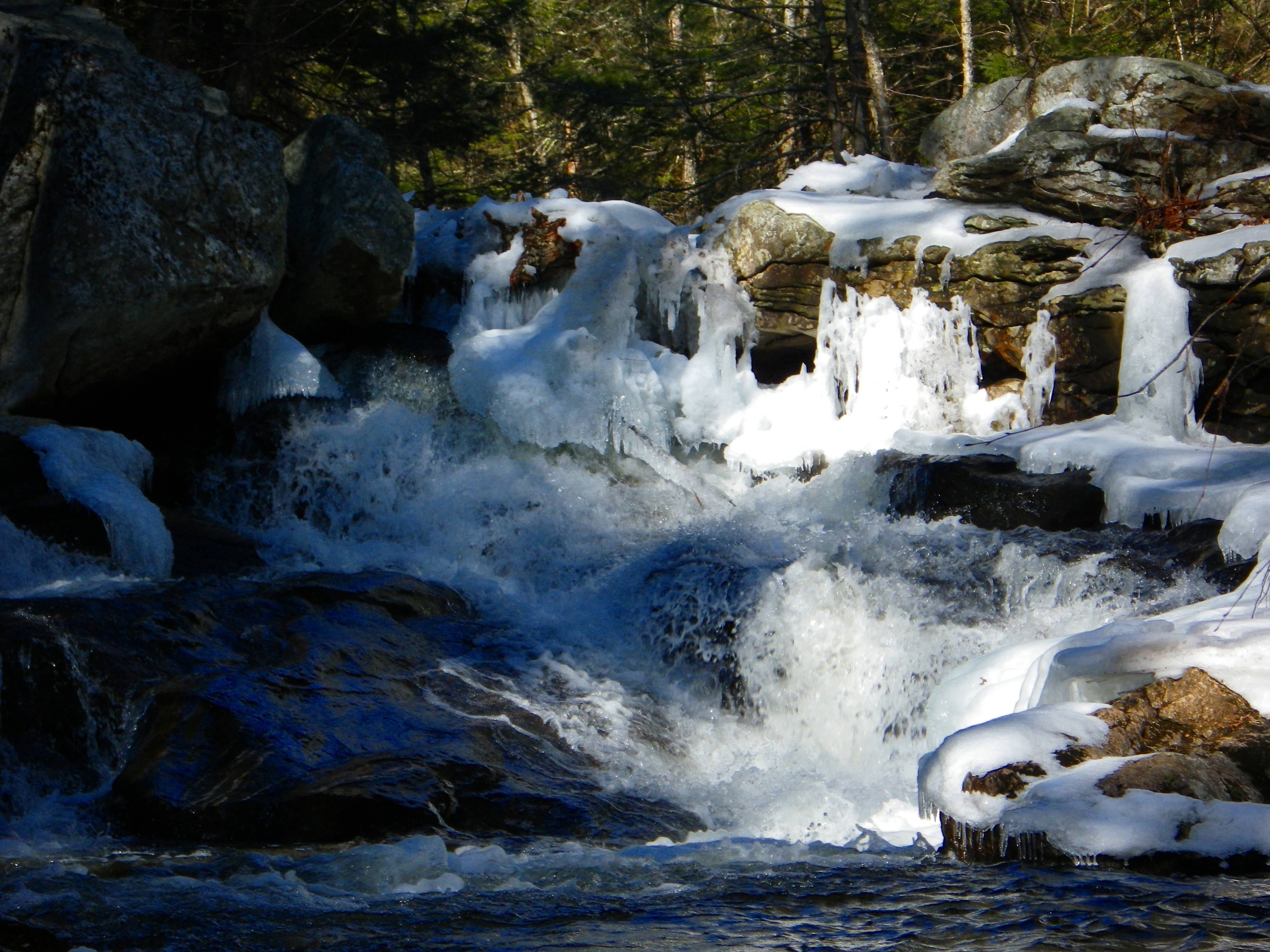
Still Frozen!!!

Hubbard River
Topographic Map of Sandisfield, MA, USA
Find elevation by address:

Places in Sandisfield, MA, USA:
Sandisfield Rd, Sandisfield, MA, USA
The Berkshires
S Main Rd, Sandisfield, MA, USA
Lower Spectacle Pond
Mirror Lake Dam
Tyringham
Shade Road
Places near Sandisfield, MA, USA:
Shade Road
80 Lower W St
Sandisfield Rd, Sandisfield, MA, USA
The Berkshires
1 Steepletop Rd
241 New Hartford Rd
Palmer Pond
24 Wright Ln
18 E Hill Rd
1 E Hill Rd
225 Norfolk Rd
Southfield
210 Doolittle Dr
Monterey
435 Main Rd
Canaan Southfield Road
86 Foley Hill Rd
Campbell Falls State Park
New Marlborough
252 Lumbert Cross Rd
Recent Searches:
- Elevation of Corso Fratelli Cairoli, 35, Macerata MC, Italy
- Elevation of Tallevast Rd, Sarasota, FL, USA
- Elevation of 4th St E, Sonoma, CA, USA
- Elevation of Black Hollow Rd, Pennsdale, PA, USA
- Elevation of Oakland Ave, Williamsport, PA, USA
- Elevation of Pedrógão Grande, Portugal
- Elevation of Klee Dr, Martinsburg, WV, USA
- Elevation of Via Roma, Pieranica CR, Italy
- Elevation of Tavkvetili Mountain, Georgia
- Elevation of Hartfords Bluff Cir, Mt Pleasant, SC, USA