Elevation of Sand Mine Rd, Gore, VA, USA
Location: United States > Virginia > Frederick County > Back Creek > Gore >
Longitude: -78.338757
Latitude: 39.2443427
Elevation: 266m / 873feet
Barometric Pressure: 98KPa
Elevation Map:
Satellite Map:
Related Photos:

ELEVATED SCENERY
FRONT YARD VIEW

Winchester & Western WB Sand Man, Indian Hollow, VA
INDIAN HOLLOW
Over 800 views! Thanks everyone

My favorite view in town. #handley #highschool #shadow #evening #latergram #winchester #virginia

Flower of the Hosta

Purple Wild Flowers
Another view from the entrance

A view of the water garden

Butterfly Bush

Rain Drops on Boxwood

The view from the front yard of the Hagan's house

Winchester Crowd

Queen Ann's Lace

Display Panels

DSCN7079 150 Jct with Allegany View Spur

DSCN7084 152 Allegany View Sign

DSCN7078 150 Jct with Allegany View Spur

DSCN7077 150 Jct with Allegany View Spur

DSCN7076 150 Jct with Allegany View Spur

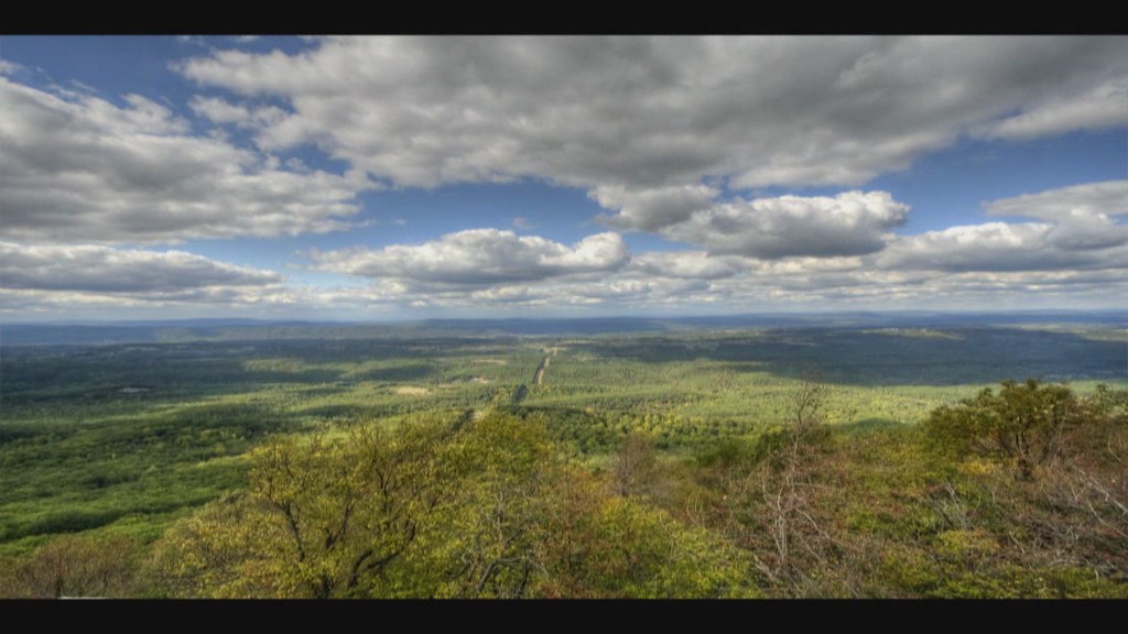
VIRGINIA HIGHLANDS

GIVING ALL THEY GOT

INTO THE SUN

UP ROUND HILL

Glen Burnie Gardens - Pleached Alee

VALLEY FARMLAND

SANDMAN ROLLING DOWNHILL

GAP RUN
UP THE VALLEY (EXPLORED 9/15/18)
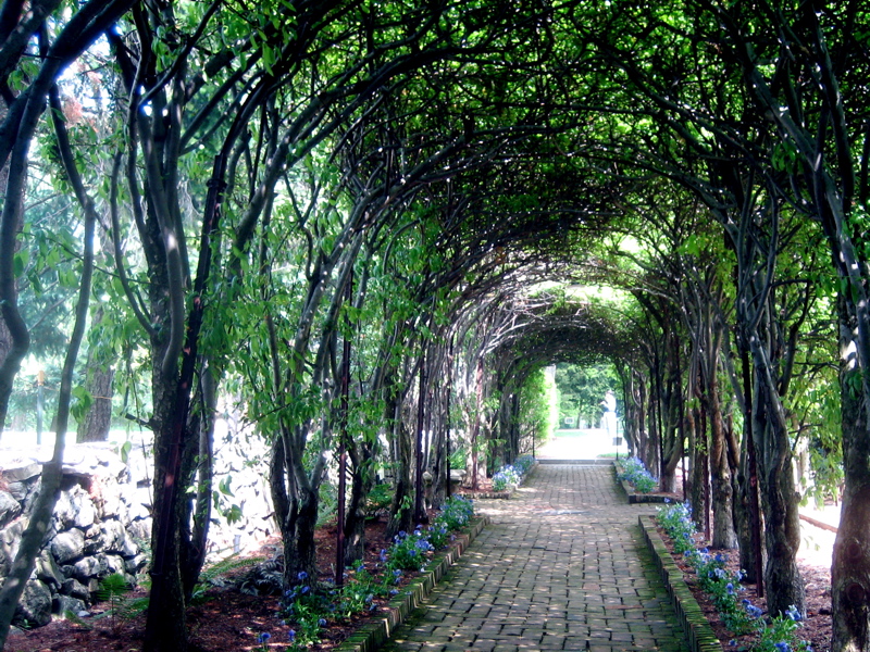
Pleached Allée

ALONG HOGUE CREEK (EXPLORED)

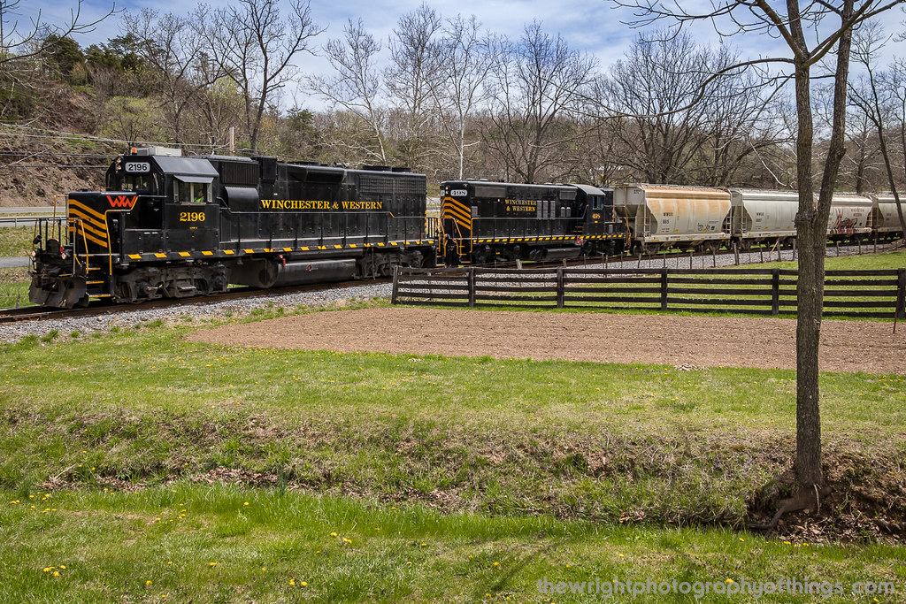
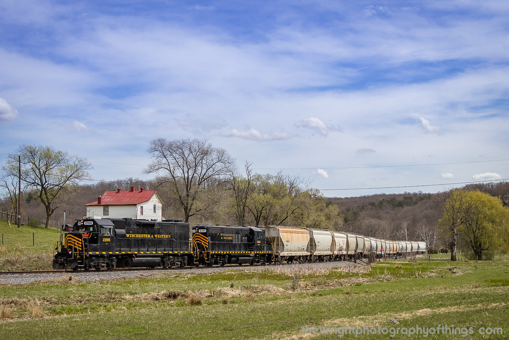
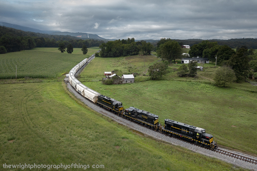
Winchester & Western EB Sand Man, SR 688, Gainsboro, VA

Winchester & Western EB Sand Man, Lucas Ln, Gore, VA

Virginia Farm Land

INDIAN HOLLOW

Virginia Farm Land

FILTERED HEIGHTS

Sunrise over NSSA
2010-10-04
Topographic Map of Sand Mine Rd, Gore, VA, USA
Find elevation by address:

Places near Sand Mine Rd, Gore, VA, USA:
531 Carpers Pike
Gore Rd, Gore, VA, USA
Gore
937 Bobcat Trail
975 Hollow Rd
506 Shickle Ln
Bear Trail
Tomahawk Trail
980 Cove Rd
120 Deer Creek Rd
120 Deer Creek Rd
Harry Hiett Lane
Harry Hiett Lane
280 Fairview Rd
375 Harry Hiett Ln
400 Harry Hiett Ln
Back Mountain Rd, Winchester, VA, USA
101 Vista Ct
Deer Run Drive
Lakeview Dr, Cross Junction, VA, USA
Recent Searches:
- Elevation of Griffing Blvd, Biscayne Park, FL, USA
- Elevation of Kreuzburger Weg 13, Düsseldorf, Germany
- Elevation of Gateway Blvd SE, Canton, OH, USA
- Elevation of East W.T. Harris Boulevard, E W.T. Harris Blvd, Charlotte, NC, USA
- Elevation of West Sugar Creek, Charlotte, NC, USA
- Elevation of Wayland, NY, USA
- Elevation of Steadfast Ct, Daphne, AL, USA
- Elevation of Lagasgasan, X+CQH, Tiaong, Quezon, Philippines
- Elevation of Rojo Ct, Atascadero, CA, USA
- Elevation of Flagstaff Drive, Flagstaff Dr, North Carolina, USA