Elevation of Sand Gap, AR, USA
Location: United States > Arkansas > Newton County >
Longitude: -93.067637
Latitude: 35.7781087
Elevation: 596m / 1955feet
Barometric Pressure: 94KPa
Elevation Map:
Satellite Map:
Related Photos:

The Ozarks
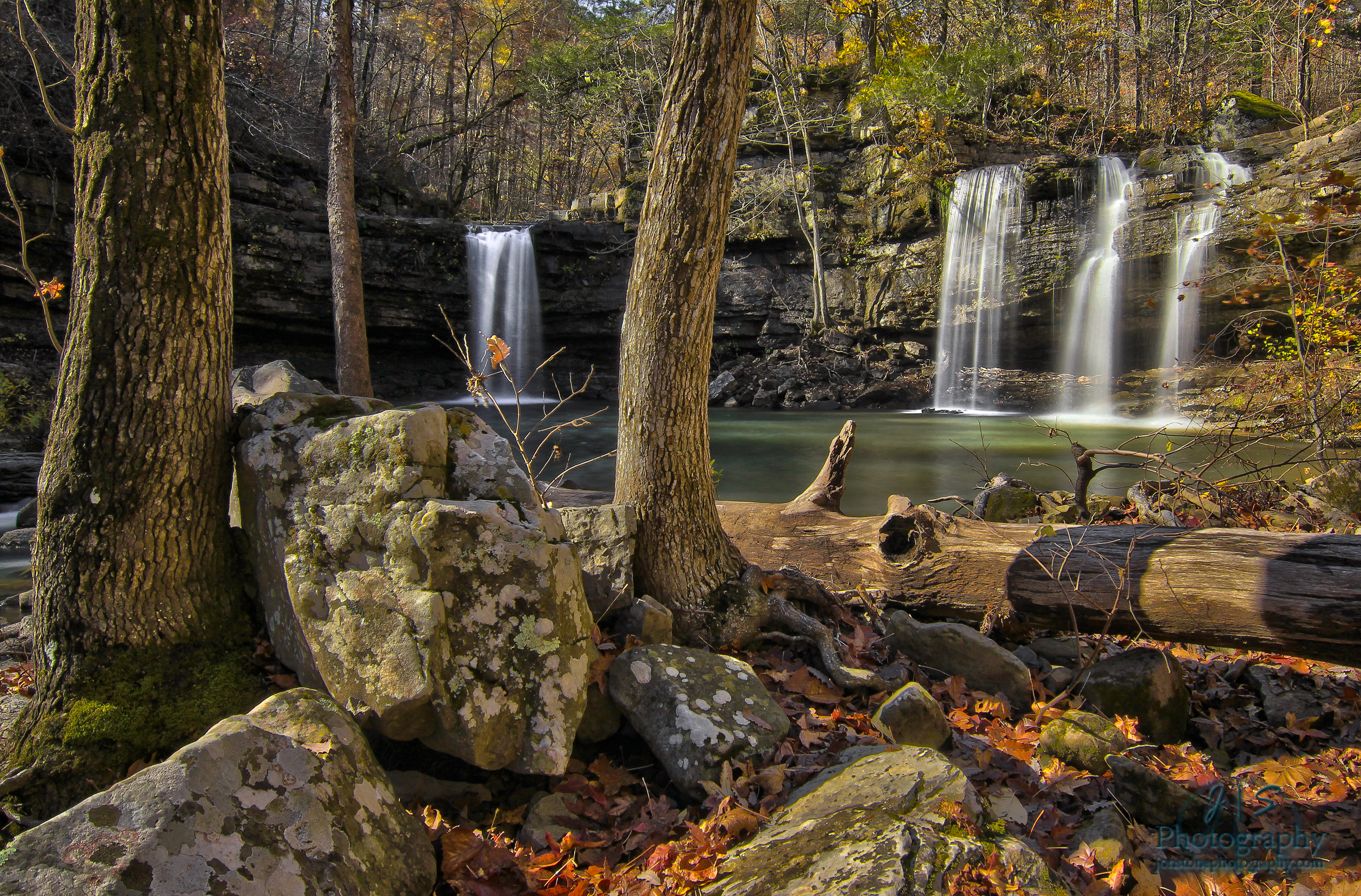
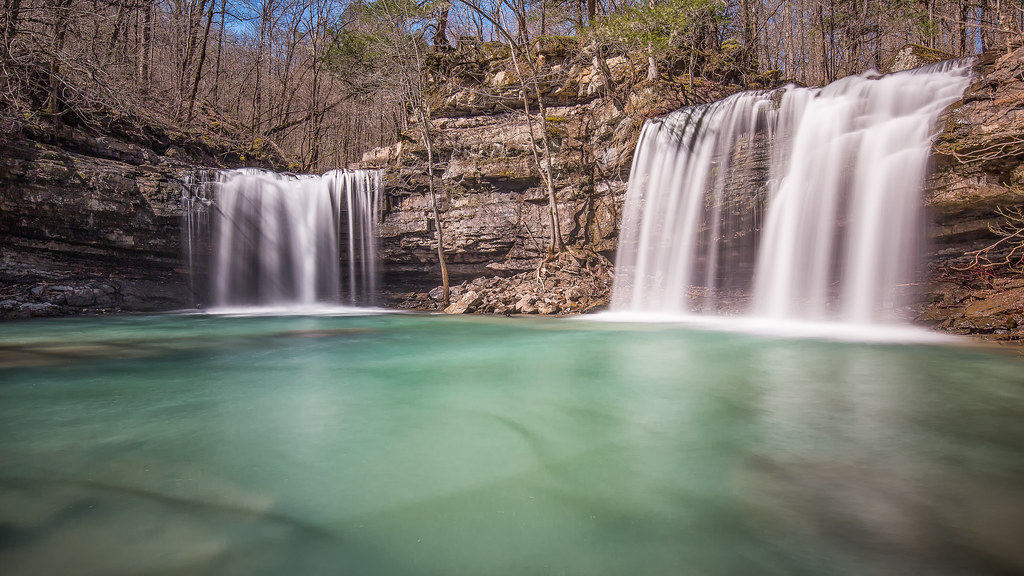
Twin Devils of Fall
Water vs. Gravity vs. Rock
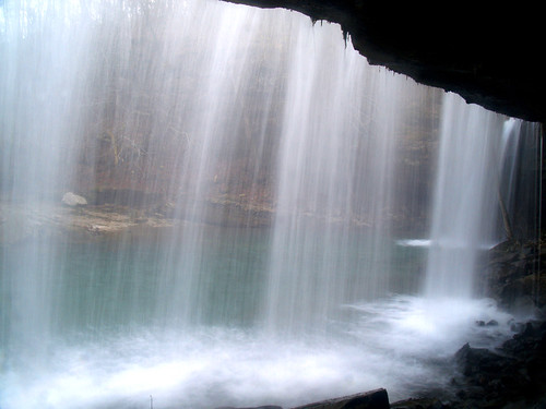
From the back
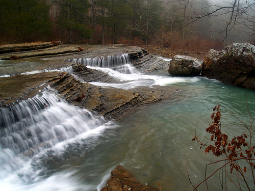
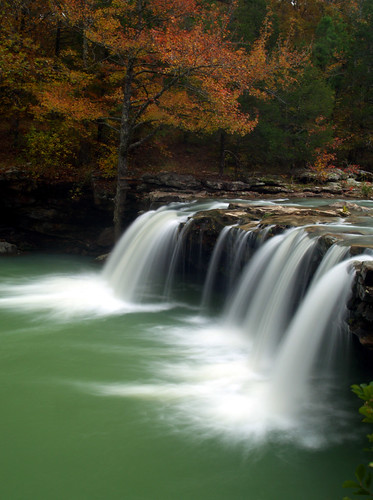
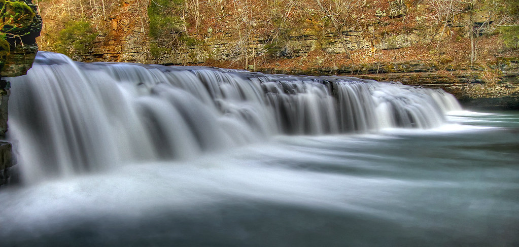
Fall at Falling Water Falls
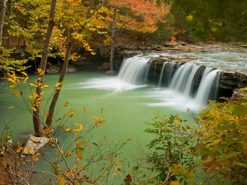
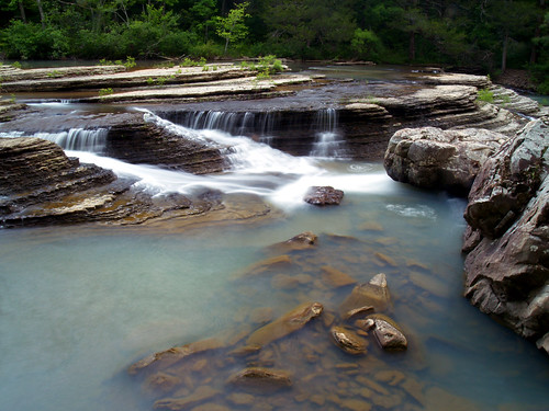
Another view of Falling Water Falls
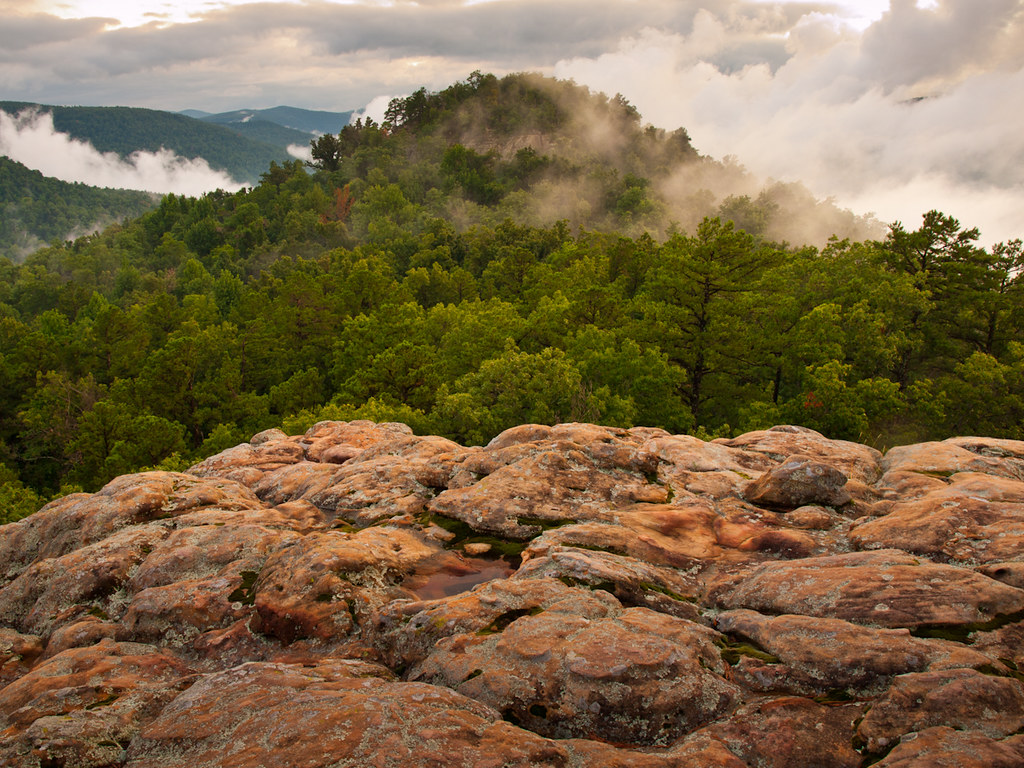
Sam's Throne

Ozark Sunset
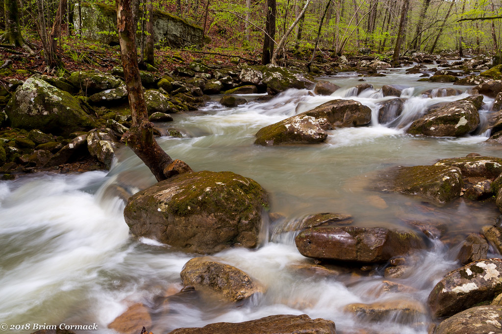
Mill Creek
Six Finger Falls
Six Finger Falls
Six Finger Falls

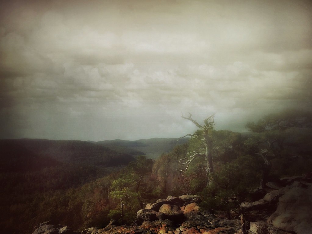
Overlook this
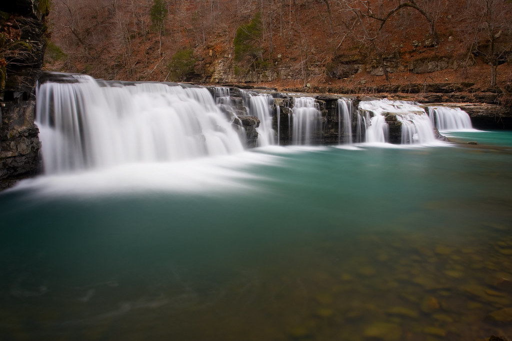
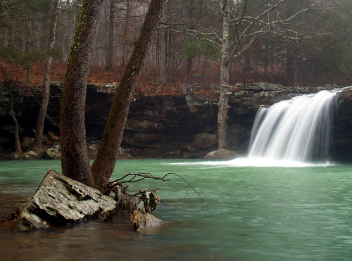
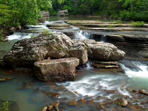
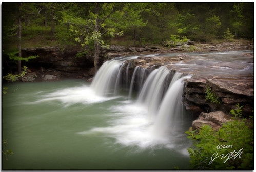
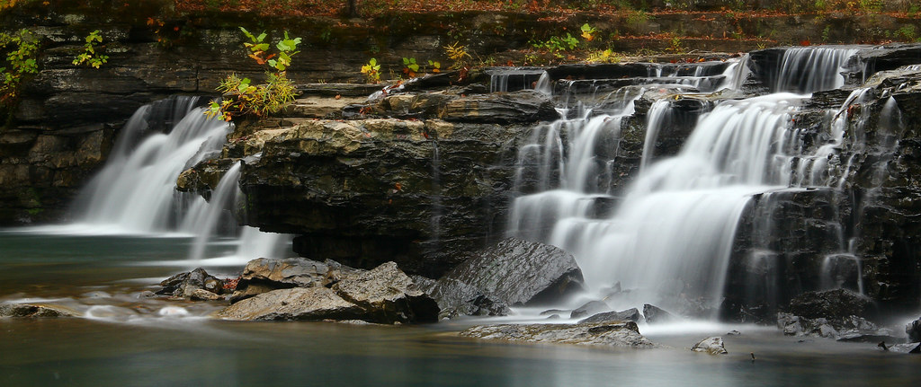
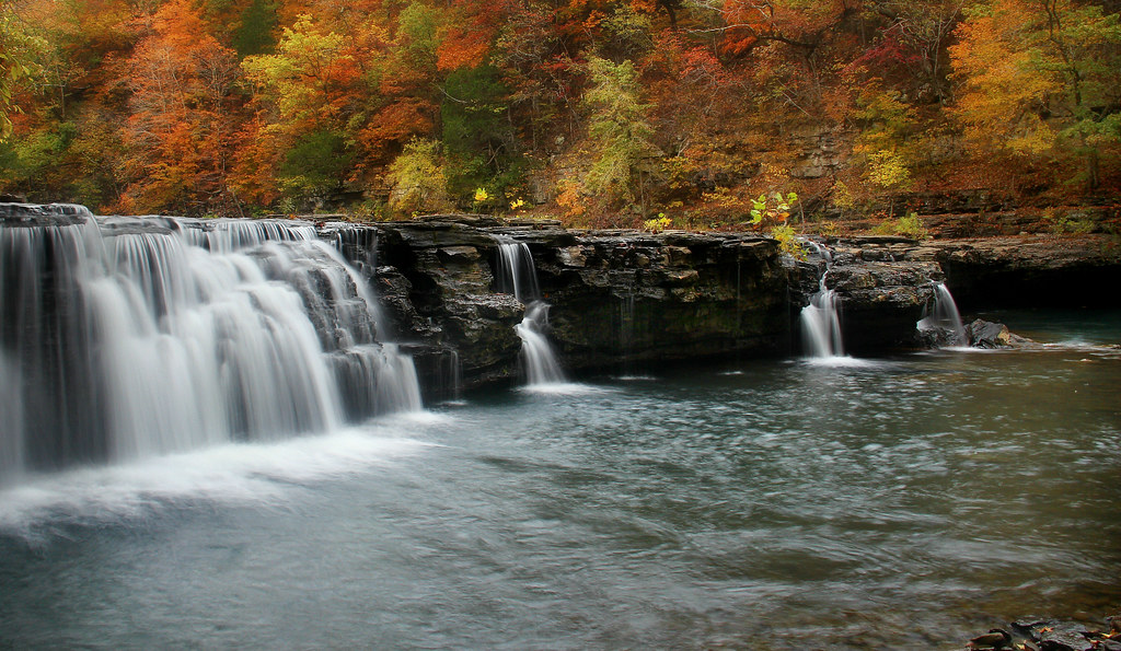
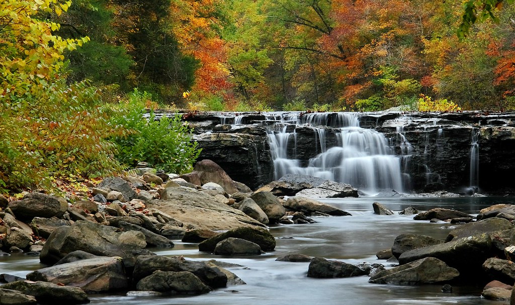
Falling Water Falls
Richland Creek Falls
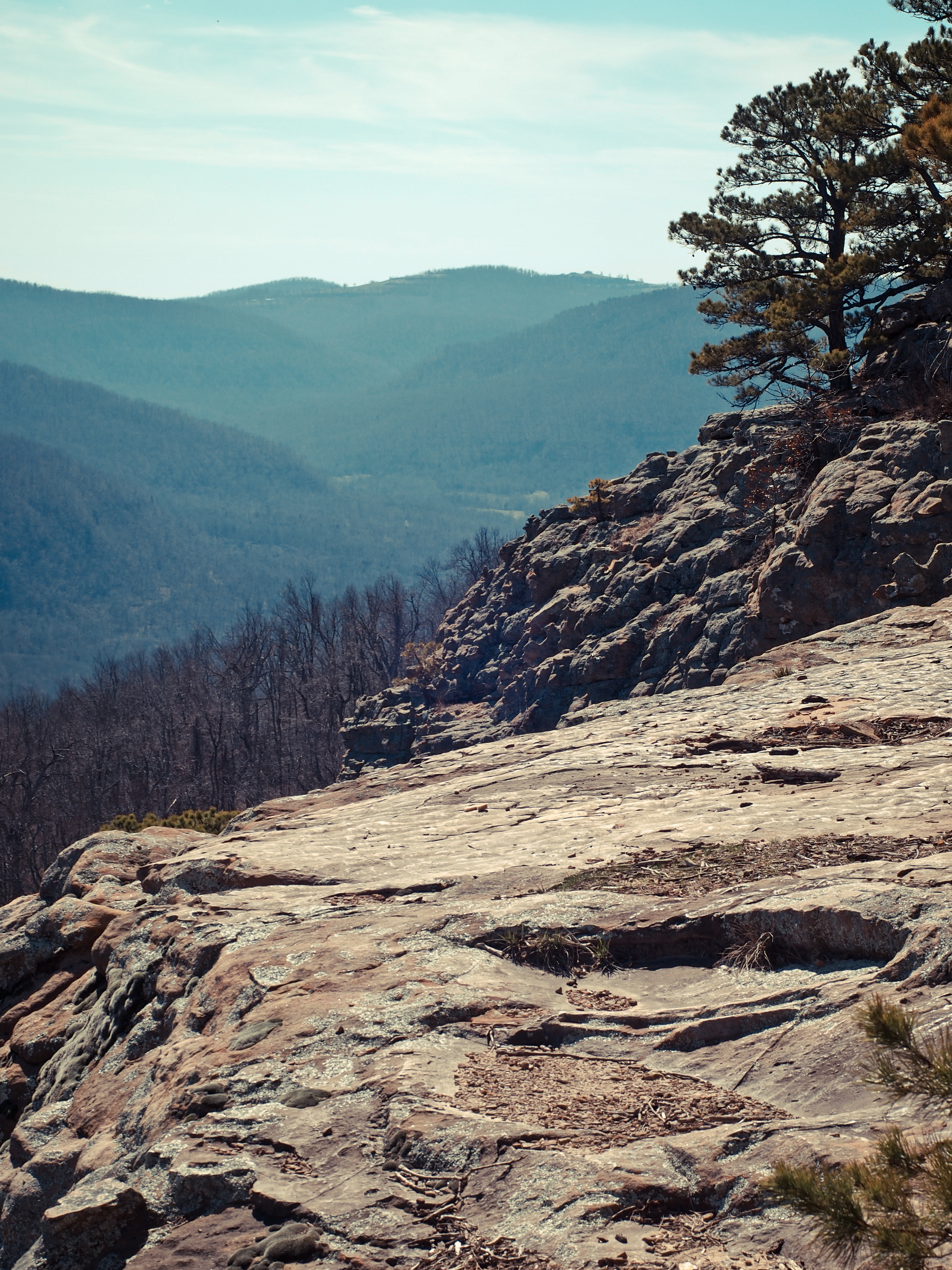
Sam's Throne- Arkansas
Sam's Throne
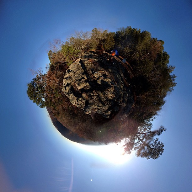
Fun panorama this morning from camp bobo (stereographic view)
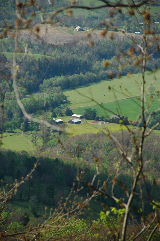
Far Away
Falling Water Falls 05-09-09 015
Six Finger Falls

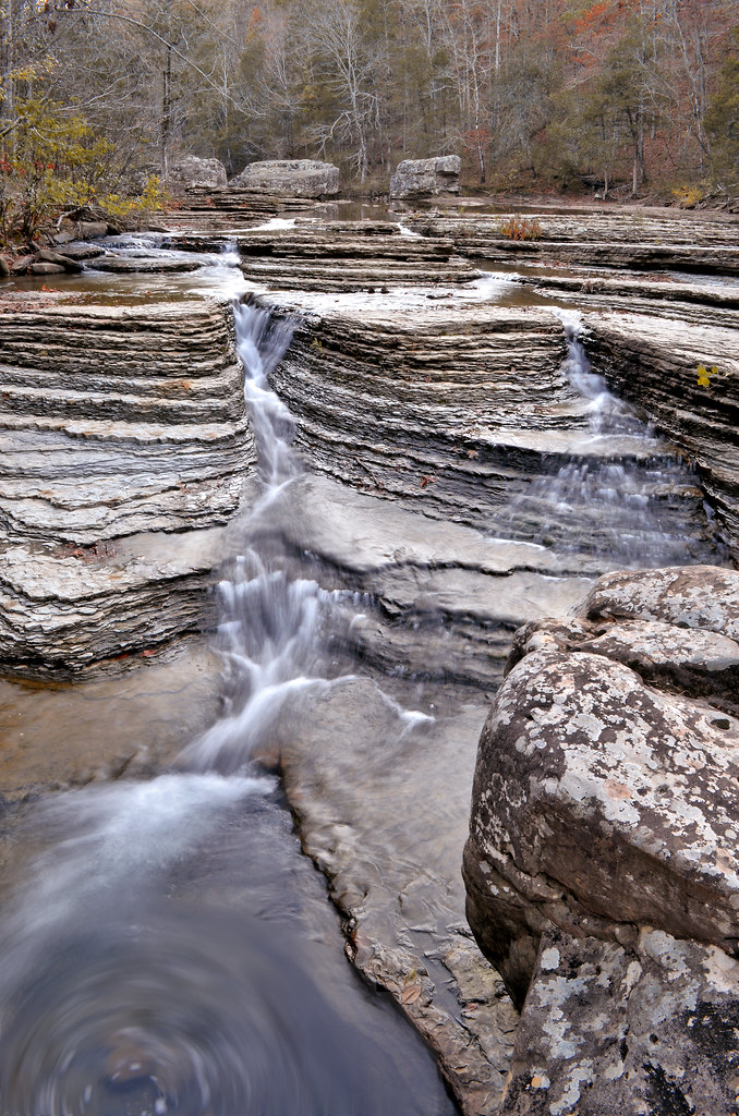
Falling Water Falls from on top

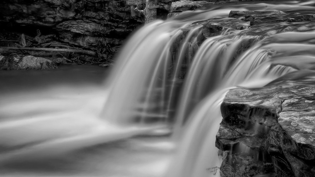
six finger falls in b/w
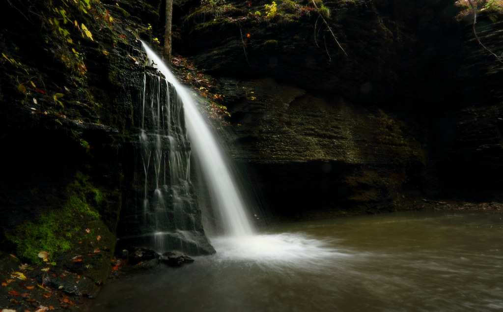
Fuzzybutt Falls
Fuzzybutt Falls
Falling Water Falls in black and white
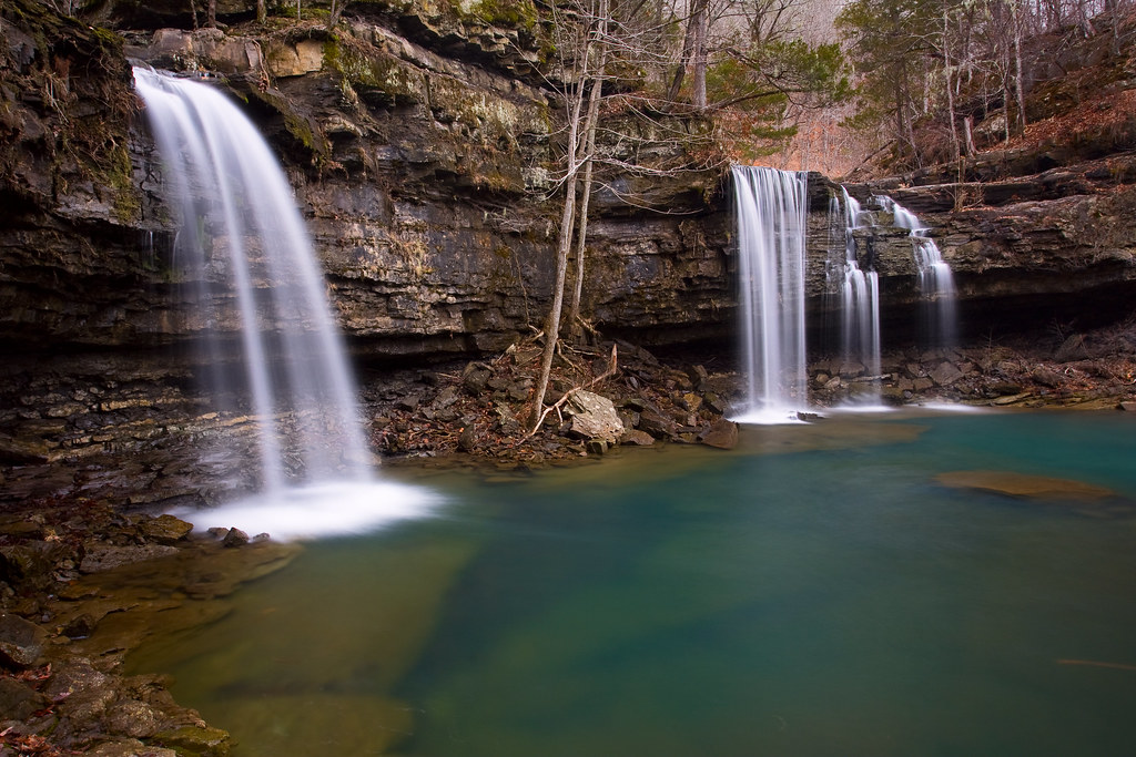
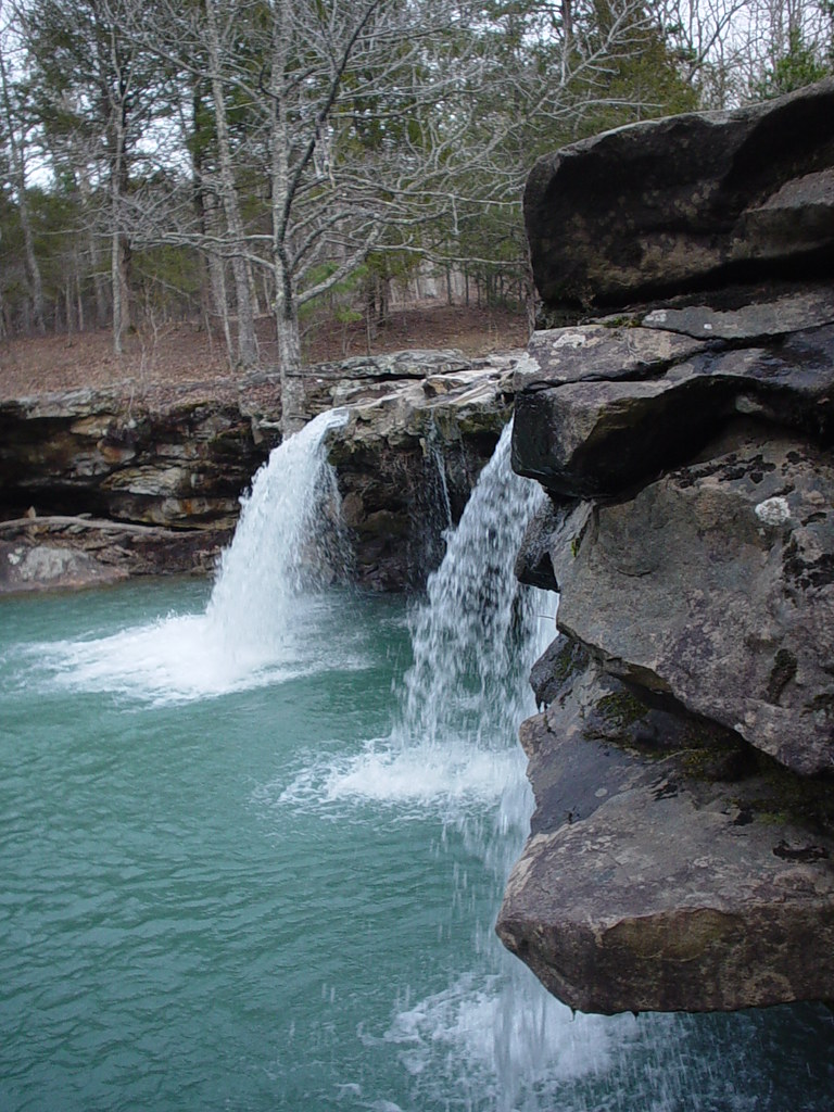
One of the reasons I love Arkansas aka Twin Falls of Richland
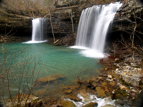
Twin Falls
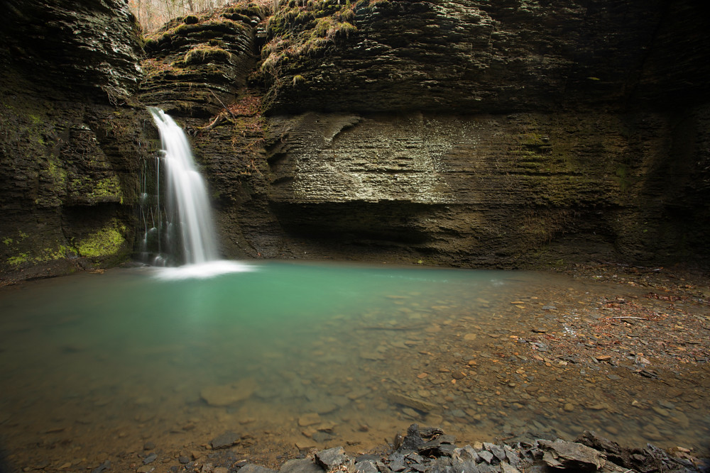
Richland Falls
Richland Falls
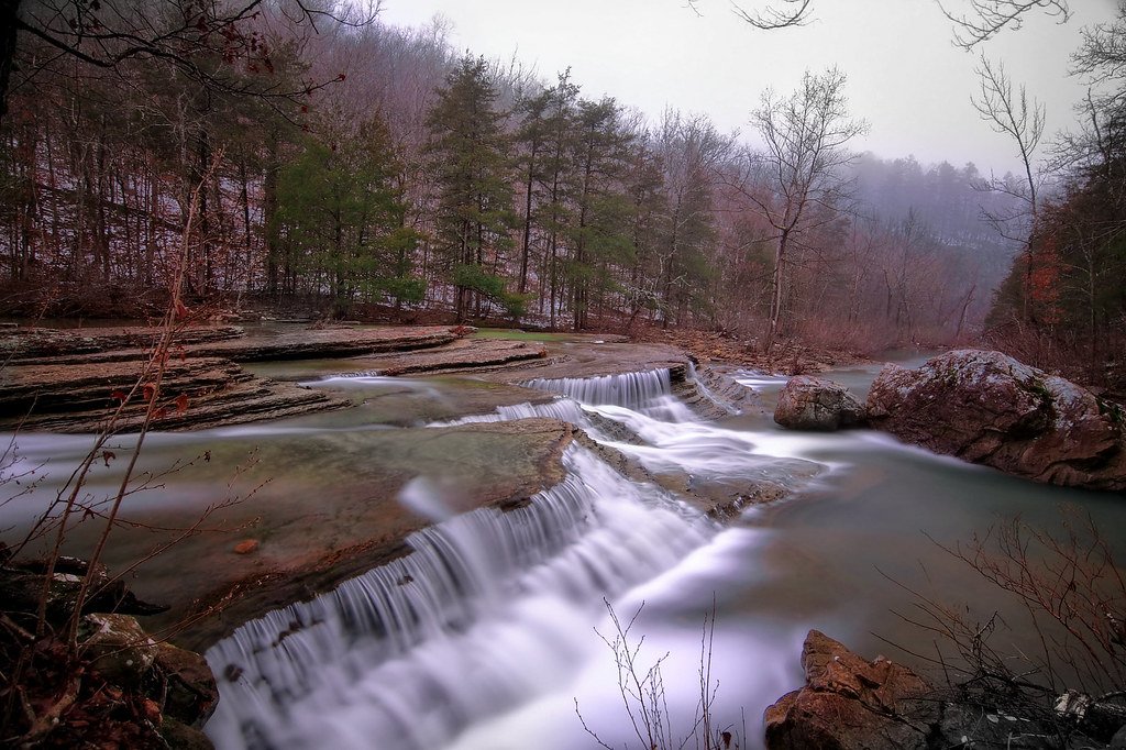
Winter day at Six Finger falls
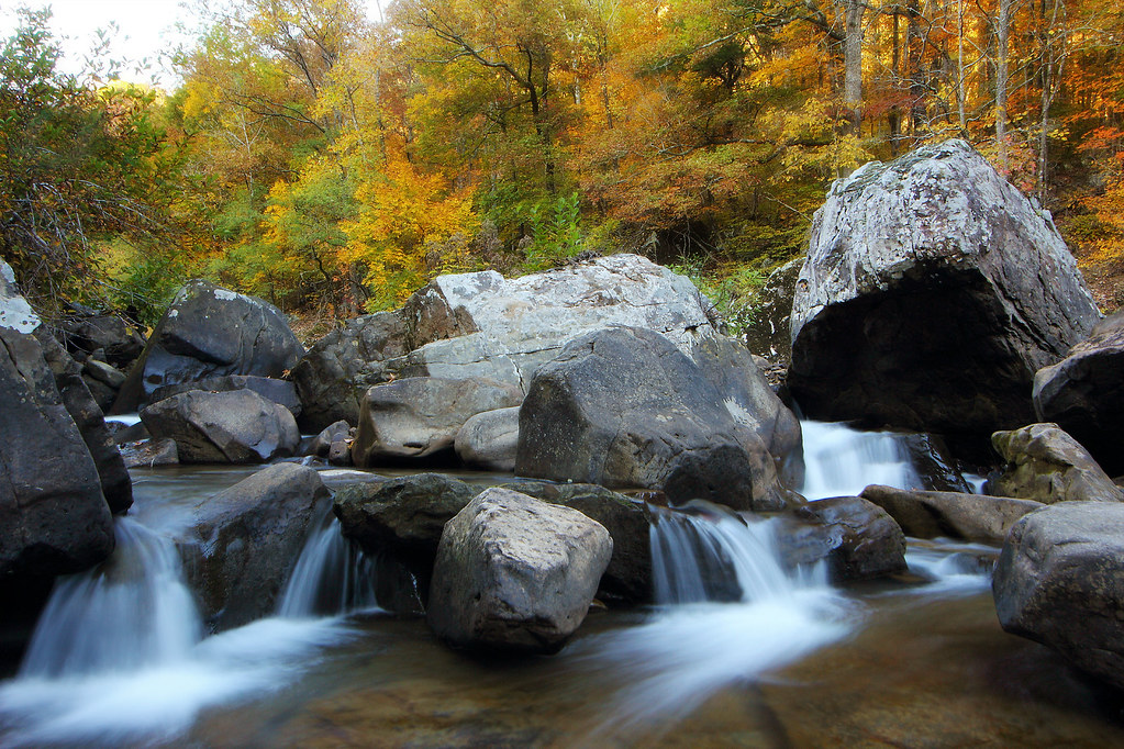
Richland Creek

Richland Falls
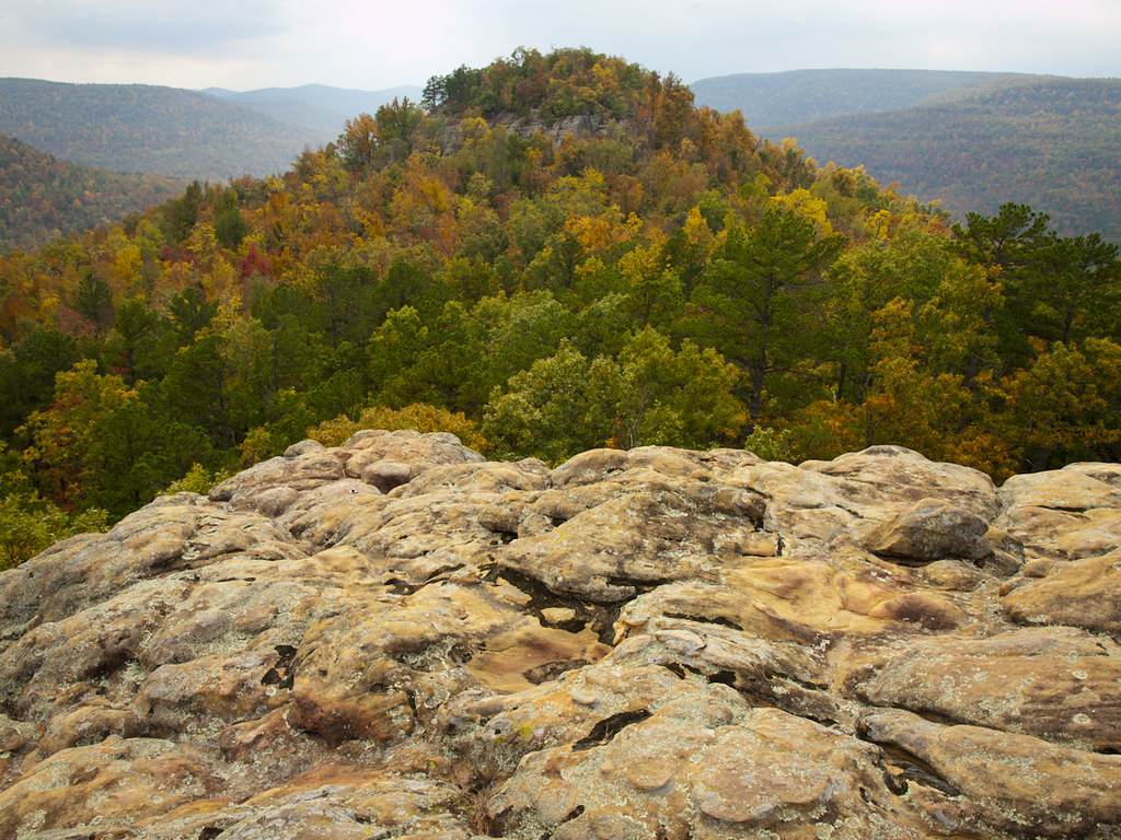
Arkansas landscapes , Sam's Throne.
Richland Falls

Falling Water Falls [explored]
Twin Falls
Richland Falls
Topographic Map of Sand Gap, AR, USA
Find elevation by address:

Places near Sand Gap, AR, USA:
Sand Gap
AR-7, Sand Gap, AR, USA
Bass Church Of Christ
AR-16, Sand Gap, AR, USA
AR-7, Dover, AR, USA
Pleasant Hill Township
Freeman Township
13425 Ar-16
Mount Judea
Victor Rd, Witts Springs, AR, USA
Arkansas 16
Deer
8 Crestview Ave, Harrison, AR, USA
Mcelroy Gap Road
White Township
County Road 39
Co Rd, Hagarville, AR, USA
Witts Springs
Smyrna Township
Gum Springs Road
Recent Searches:
- Elevation of Congressional Dr, Stevensville, MD, USA
- Elevation of Bellview Rd, McLean, VA, USA
- Elevation of Stage Island Rd, Chatham, MA, USA
- Elevation of Shibuya Scramble Crossing, 21 Udagawacho, Shibuya City, Tokyo -, Japan
- Elevation of Jadagoniai, Kaunas District Municipality, Lithuania
- Elevation of Pagonija rock, Kranto 7-oji g. 8"N, Kaunas, Lithuania
- Elevation of Co Rd 87, Jamestown, CO, USA
- Elevation of Tenjo, Cundinamarca, Colombia
- Elevation of Côte-des-Neiges, Montreal, QC H4A 3J6, Canada
- Elevation of Bobcat Dr, Helena, MT, USA