Elevation of Sand Flat Missionary Baptist Church, Co Rd, Grand Saline, TX, USA
Location: United States > Texas > Van Zandt County > Grand Saline >
Longitude: -95.651427
Latitude: 32.626778
Elevation: 146m / 479feet
Barometric Pressure: 100KPa
Elevation Map:
Satellite Map:
Related Photos:

GPQ 92

Power Glide

Mineola TX: Texas and Pacific Caboose
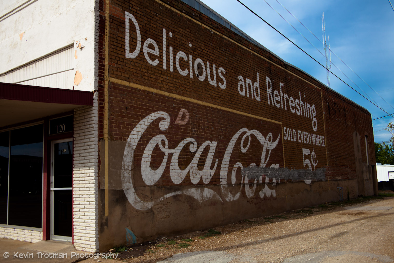
Grand Saline, Texas Coca-Cola Sign
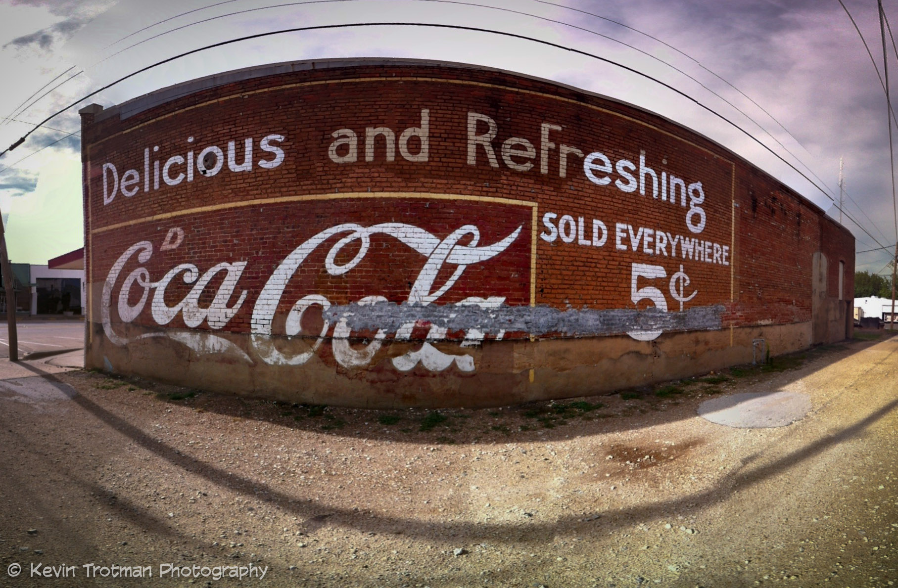
Grand Saline Sign of Refreshment
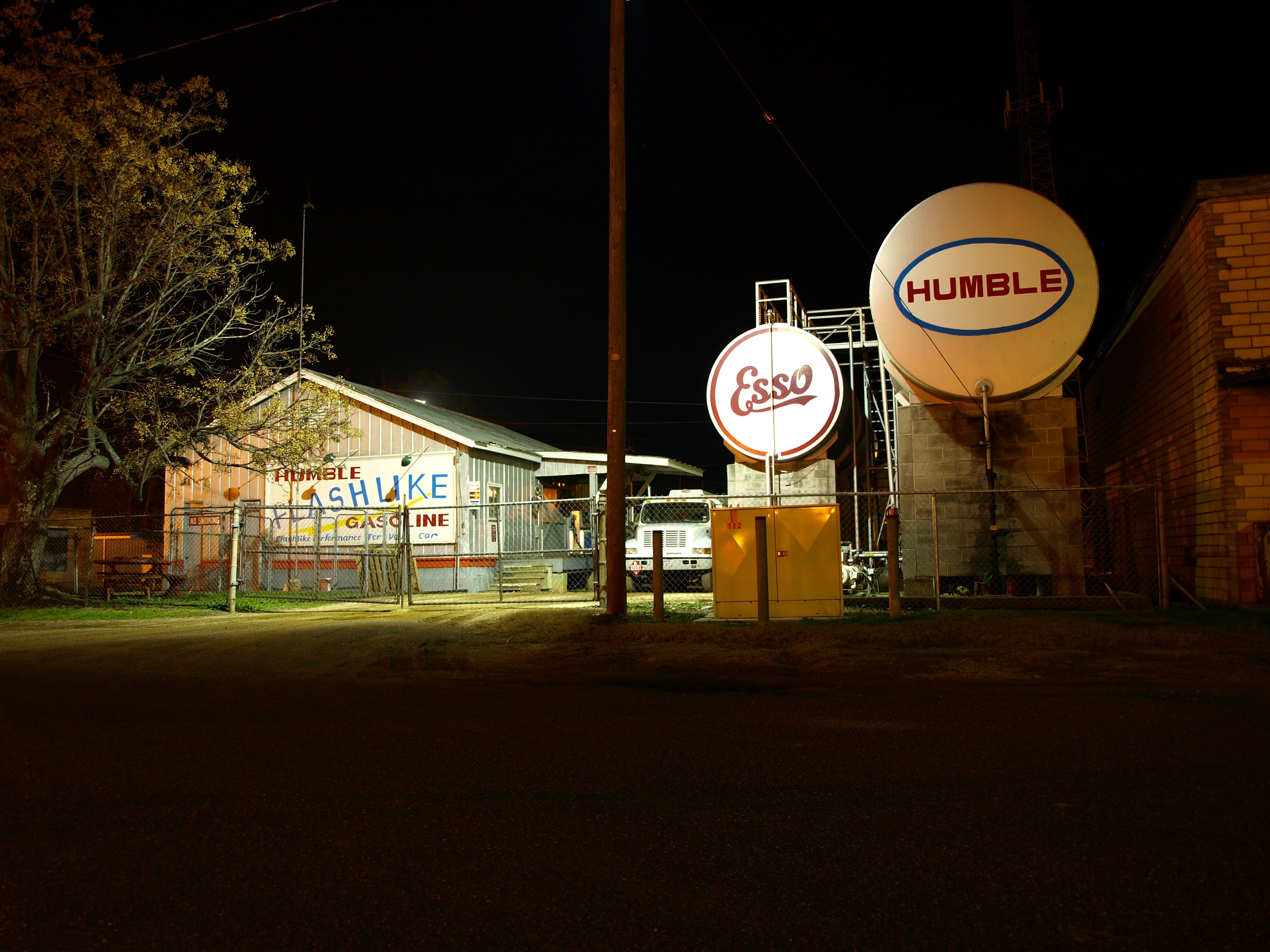
Gas Depot
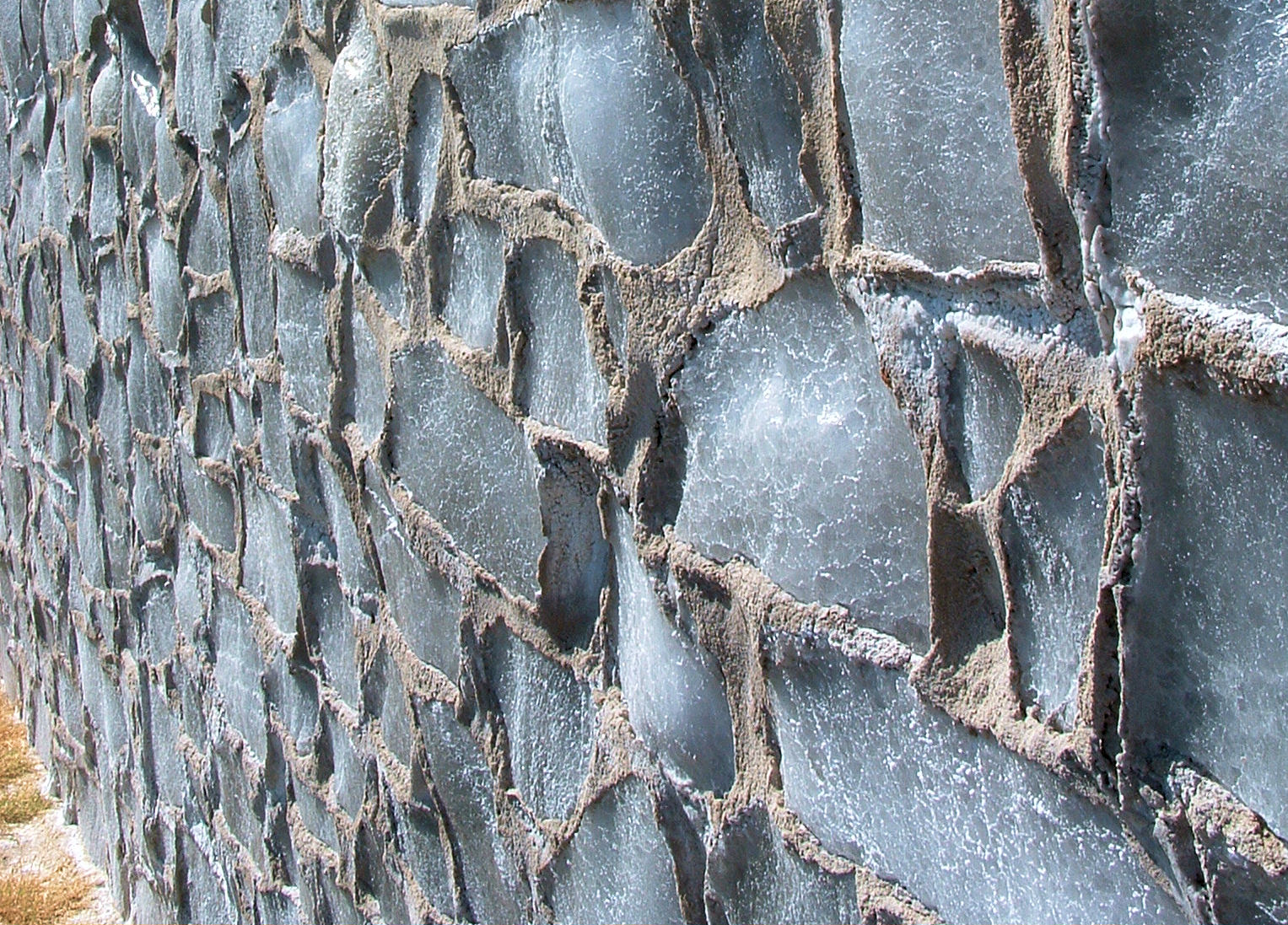
salt house grand saline

15 Sweet times 4!

View from Hill on Stallion Shores Court

Lake Holbrook, Mineola TX

Grand Saline Sunset
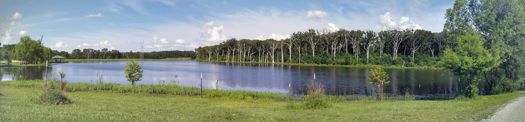
20170529_164315-PANO

Stallion Lake Ranch - Private Road - Lindale, TX

Mystery Down Drive
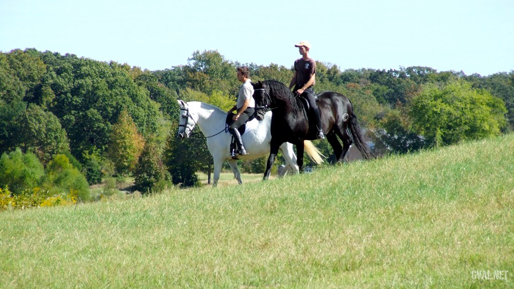
Tuesday Ride

russian texas
Topographic Map of Sand Flat Missionary Baptist Church, Co Rd, Grand Saline, TX, USA
Find elevation by address:

Places near Sand Flat Missionary Baptist Church, Co Rd, Grand Saline, TX, USA:
Farm To Market, Grand Saline, TX, USA
TX-, Grand Saline, TX, USA
TX-, Grand Saline, TX, USA
500 E Pacific St
Grand Saline
850 Vz County Rd 1502
403 Tower St
380 Washington St
Van
Co Rd, Grand Saline, TX, USA
Fruitvale
Ben Wheeler
FM, Ben Wheeler, TX, USA
Red River
Private Road 8700
Texas 64
Van Zandt County
County Rd, Emory, TX, USA
801 Tx-243
1613 Fm 859
Recent Searches:
- Elevation of W Granada St, Tampa, FL, USA
- Elevation of Pykes Down, Ivybridge PL21 0BY, UK
- Elevation of Jalan Senandin, Lutong, Miri, Sarawak, Malaysia
- Elevation of Bilohirs'k
- Elevation of 30 Oak Lawn Dr, Barkhamsted, CT, USA
- Elevation of Luther Road, Luther Rd, Auburn, CA, USA
- Elevation of Unnamed Road, Respublika Severnaya Osetiya — Alaniya, Russia
- Elevation of Verkhny Fiagdon, North Ossetia–Alania Republic, Russia
- Elevation of F. Viola Hiway, San Rafael, Bulacan, Philippines
- Elevation of Herbage Dr, Gulfport, MS, USA