Elevation of San Vicente, Ecuador
Location: Ecuador > Manabí Province >
Longitude: -80.402048
Latitude: -0.6047266
Elevation: 6m / 20feet
Barometric Pressure: 101KPa
Elevation Map:
Satellite Map:
Related Photos:

Coast of Ecuador
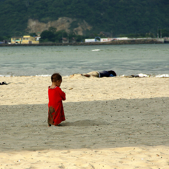
Perdido en la sombra

Coast of Ecuador
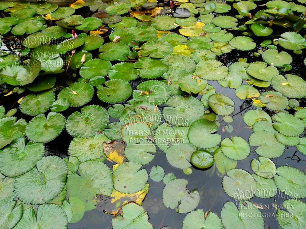
Nenúfares, Lirio de agua

Coast of Ecuador

Coast of Ecuador

Coast of Ecuador
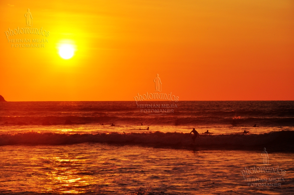
Una raza diferente.. Surfers

Coast of Ecuador

Coast of Ecuador

Coast of Ecuador

Coast of Ecuador

#BahiadeCaraquez Porque no necesitas una gran cámara, simplemente un espíritu aventurero. #viajaprimeroecuador y descubre junto a nosotros el EcuadorTuristico Photo: @textremesd #Rutaviva the best photographs @instagram #Ecuador #allyouneedisecuador

Coast of Ecuador

#SanVicente #Manabí #CrisPaezPhoto #Ecuador #travel

Coast of Ecuador

Coast of Ecuador

Coast of Ecuador

Coast of Ecuador

Coast of Ecuador

Coast of Ecuador
Topographic Map of San Vicente, Ecuador
Find elevation by address:

Places near San Vicente, Ecuador:
Bahia De Caraquez
Canoa
Rio Muchacho Organic Farm
Crucita
Playa De Crucita
San Isidro
Calceta
Junin
Portoviejo
Manabí Province
Portoviejo
Santa Marianita
Manta
Montecristi
Santa Ana
Rio Salado
Olmedo
Puerto Cayo
Olmedo
Recent Searches:
- Elevation of Zimmer Trail, Pennsylvania, USA
- Elevation of 87 Kilmartin Ave, Bristol, CT, USA
- Elevation of Honghe National Nature Reserve, QP95+PJP, Tongjiang, Heilongjiang, Jiamusi, Heilongjiang, China
- Elevation of Hercules Dr, Colorado Springs, CO, USA
- Elevation of Szlak pieszy czarny, Poland
- Elevation of Griffing Blvd, Biscayne Park, FL, USA
- Elevation of Kreuzburger Weg 13, Düsseldorf, Germany
- Elevation of Gateway Blvd SE, Canton, OH, USA
- Elevation of East W.T. Harris Boulevard, E W.T. Harris Blvd, Charlotte, NC, USA
- Elevation of West Sugar Creek, Charlotte, NC, USA