Elevation of San Miguelito Road, San Miguelito Rd, Lompoc, CA, USA
Location: United States > California > Santa Barbara County > Lompoc >
Longitude: -120.49217
Latitude: 34.5888347
Elevation: 232m / 761feet
Barometric Pressure: 99KPa
Elevation Map:
Satellite Map:
Related Photos:
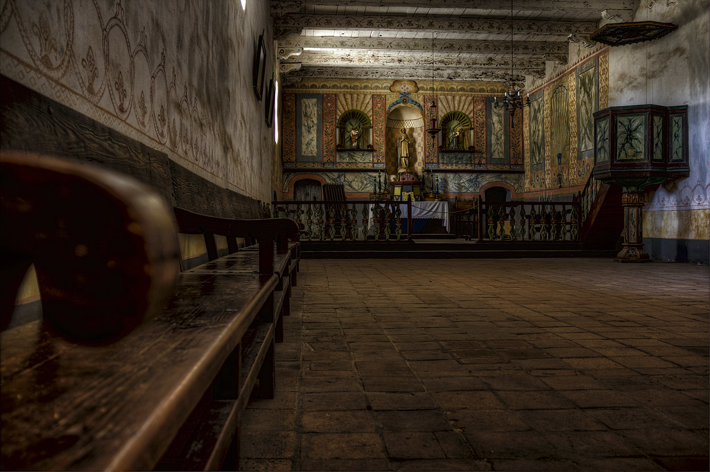
Church Altar View, Mission La Purisima Concepcion, Lompoc CA (C61_3802-3804-cus-LR-NS-PS)
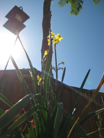
ANTS EYE VIEW

Pacific Coast Rainbow

Altar, Mission La Purisima Concepcion, Lompoc CA (C61_3805-3807-cus-LR-NS-PS)

View on walk
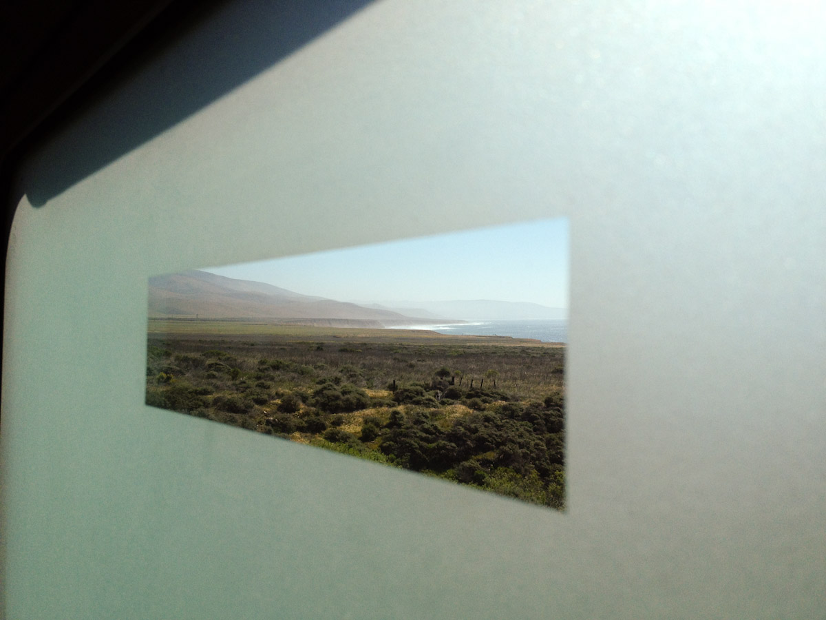
View from the Rest Room Window
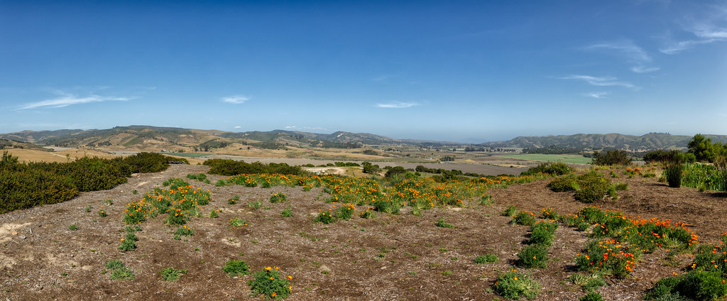
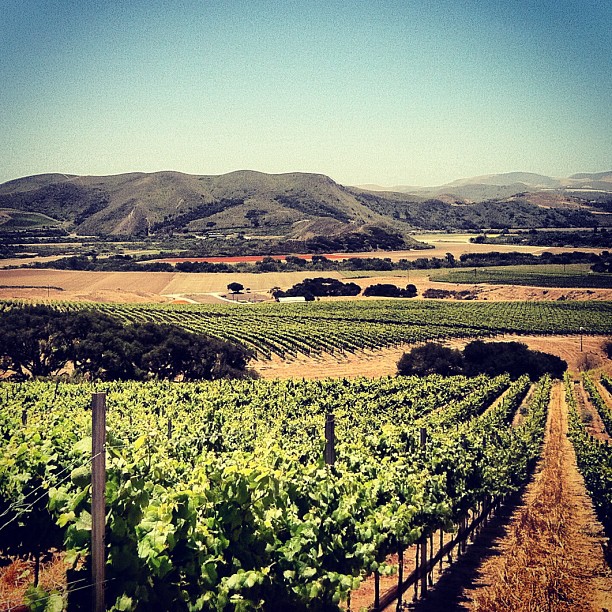
The Overlook at Hilliard Bruce Vineyard
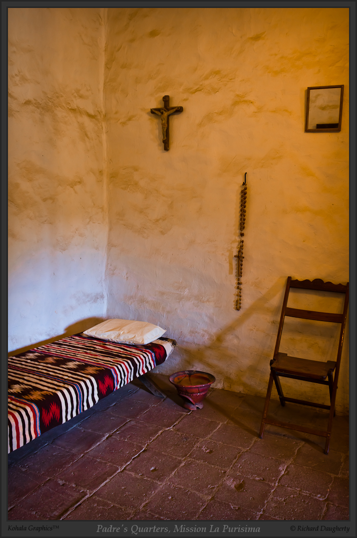
Padre's quarters, Mission La Purisima

La Purisima altar, portrait - HDR

Padre room and side exit
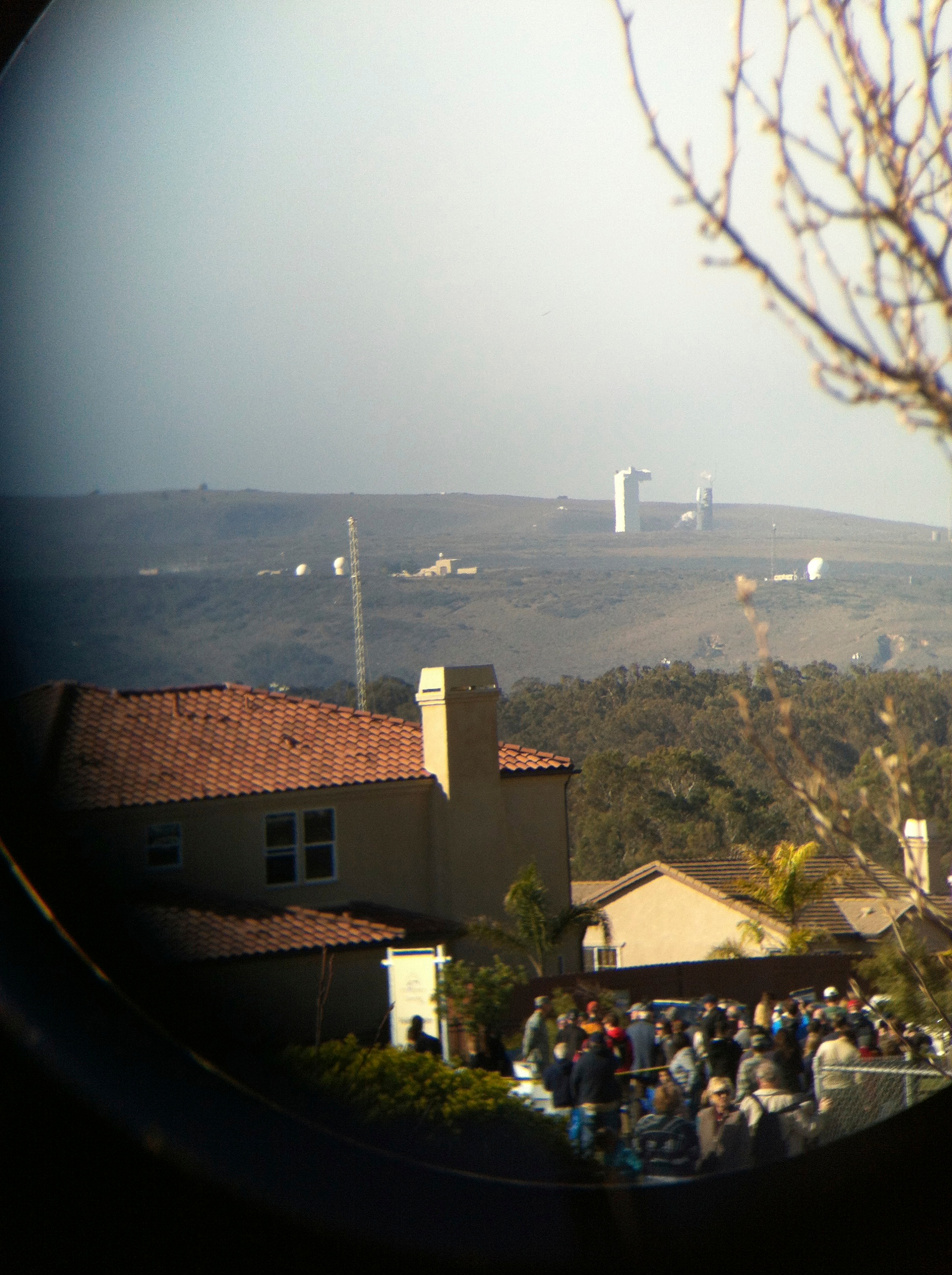
the view of the launch through binoculars

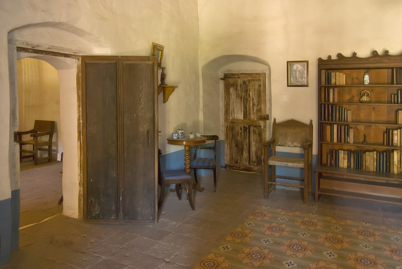
East colonnade, padres' quarters
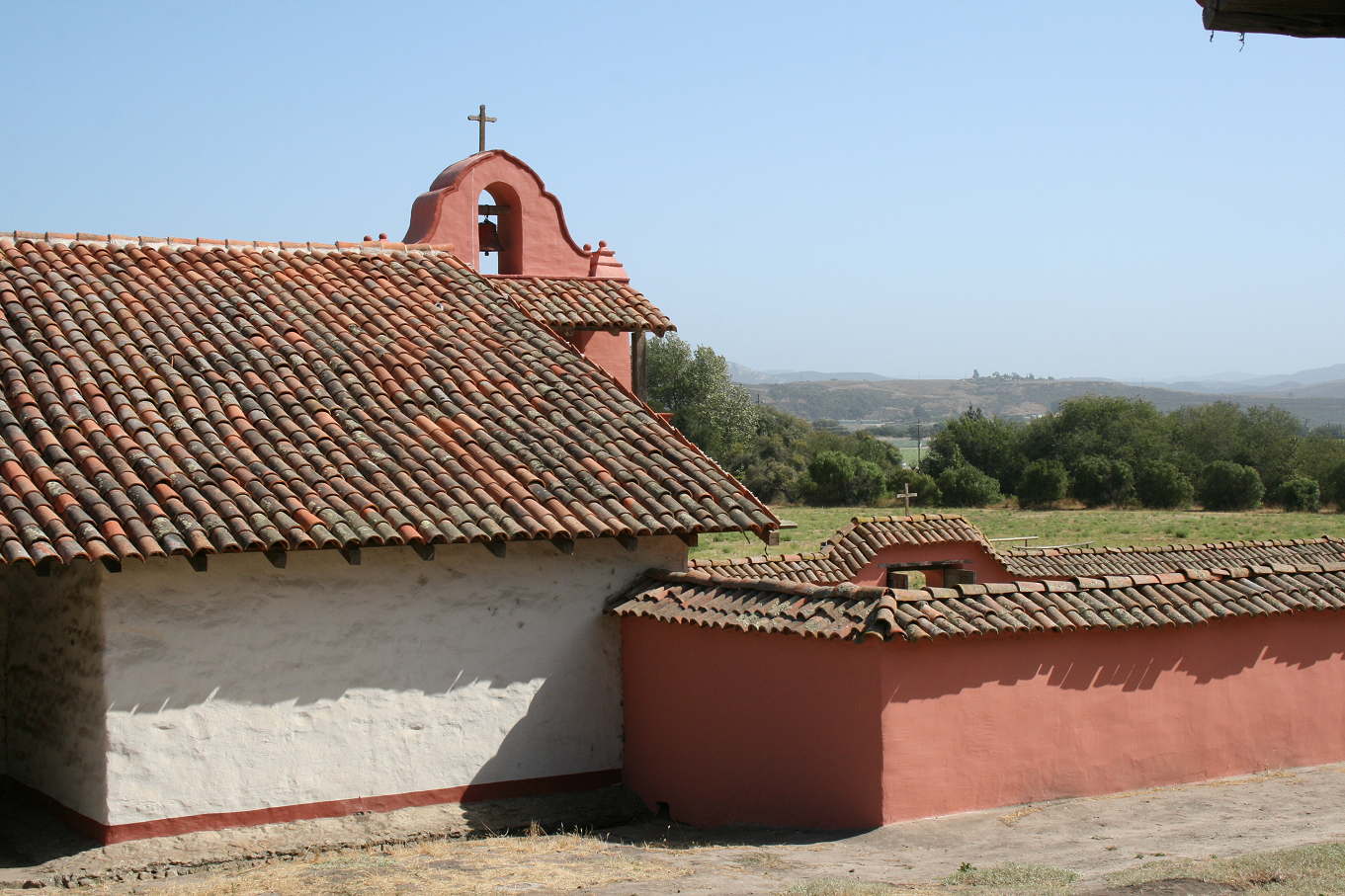
Bell tower and cemetery, La Purisima
Inside View
La Purísima Long View
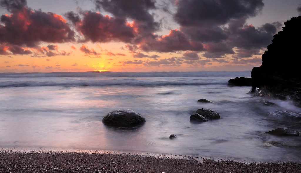
Point Conception Sunset
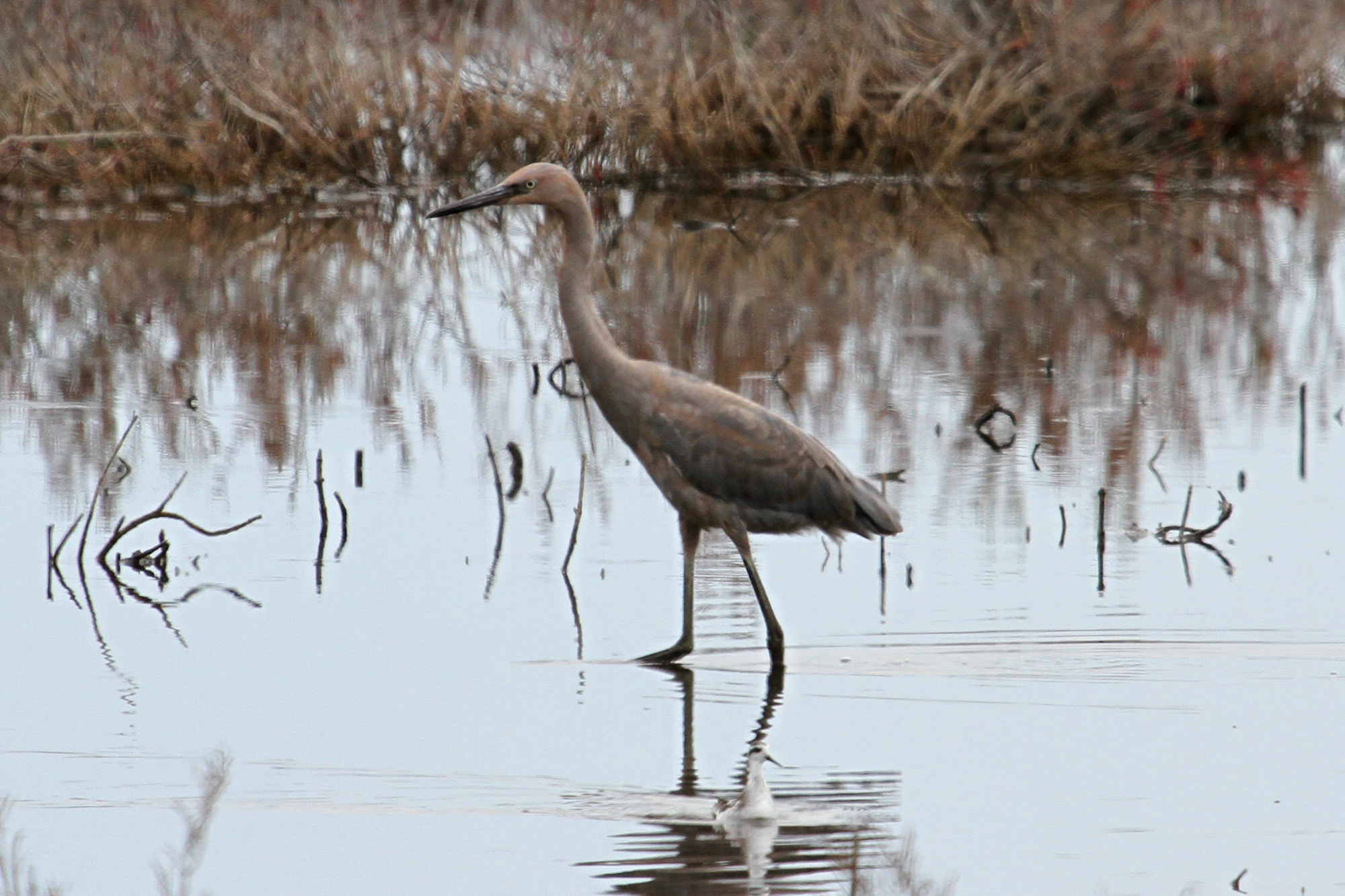
Reddish Egret (Egretta rufescens)

Surf Beach and Vandenberg Air Force Base, Lompoc, California
Wonderful view

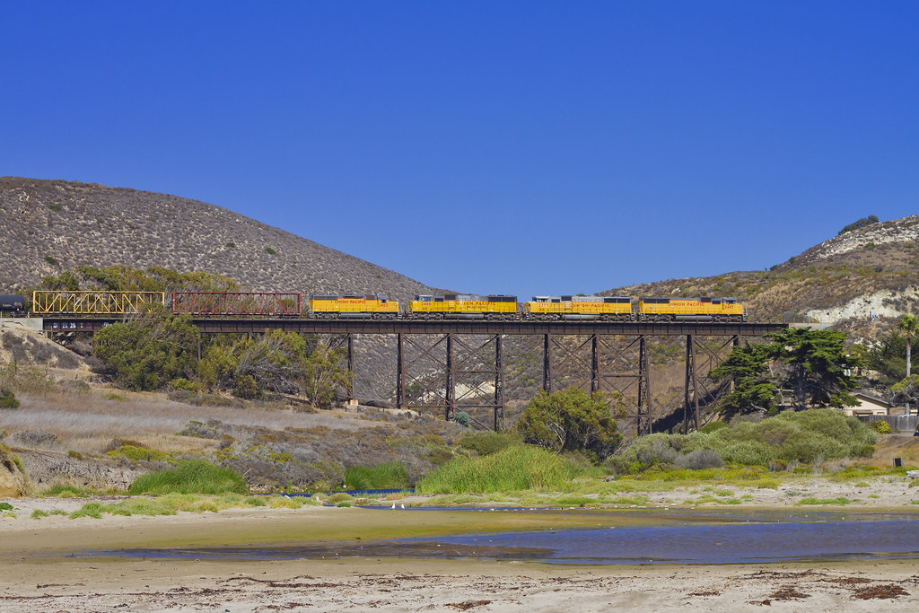
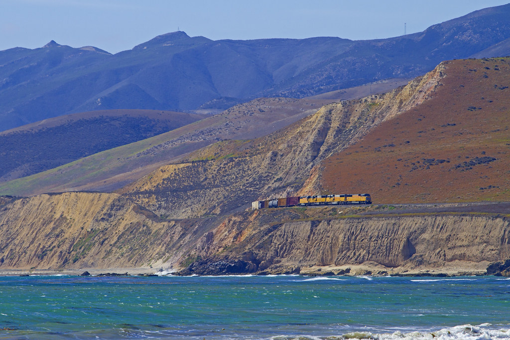
It's Called the Coast Starlight For A Reason
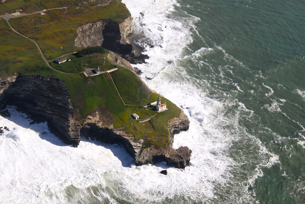
Point Conception Lighthouse
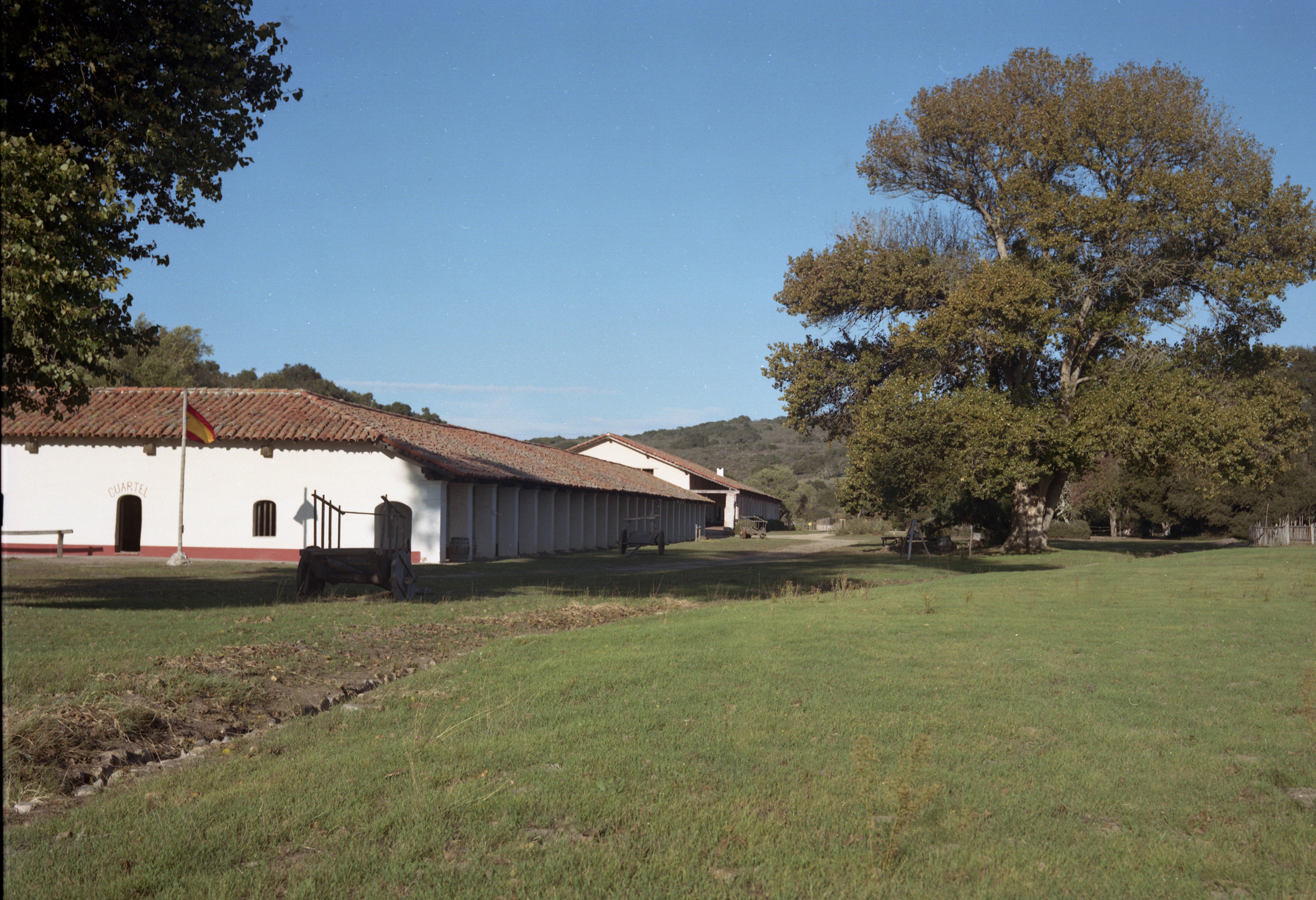
La Purisima Mission State Park

Fish on.
Miguelito Fire

Miguelito Fire
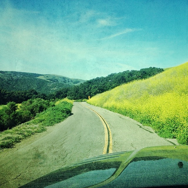
Hwy 1 winds through the southern hills of Lompoc, California.
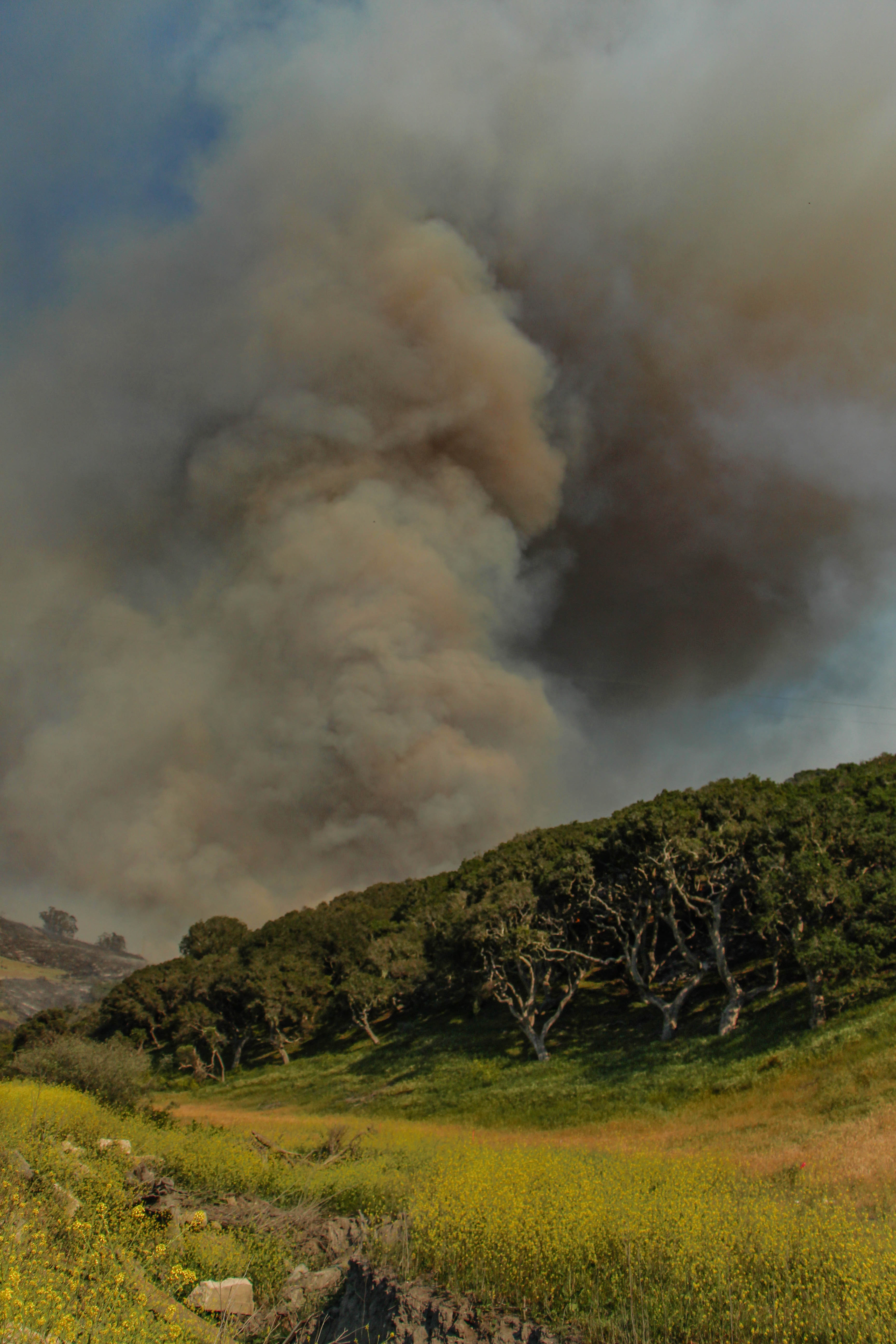
Miguelito Fire
enroute to Jalama...
P1000912 2
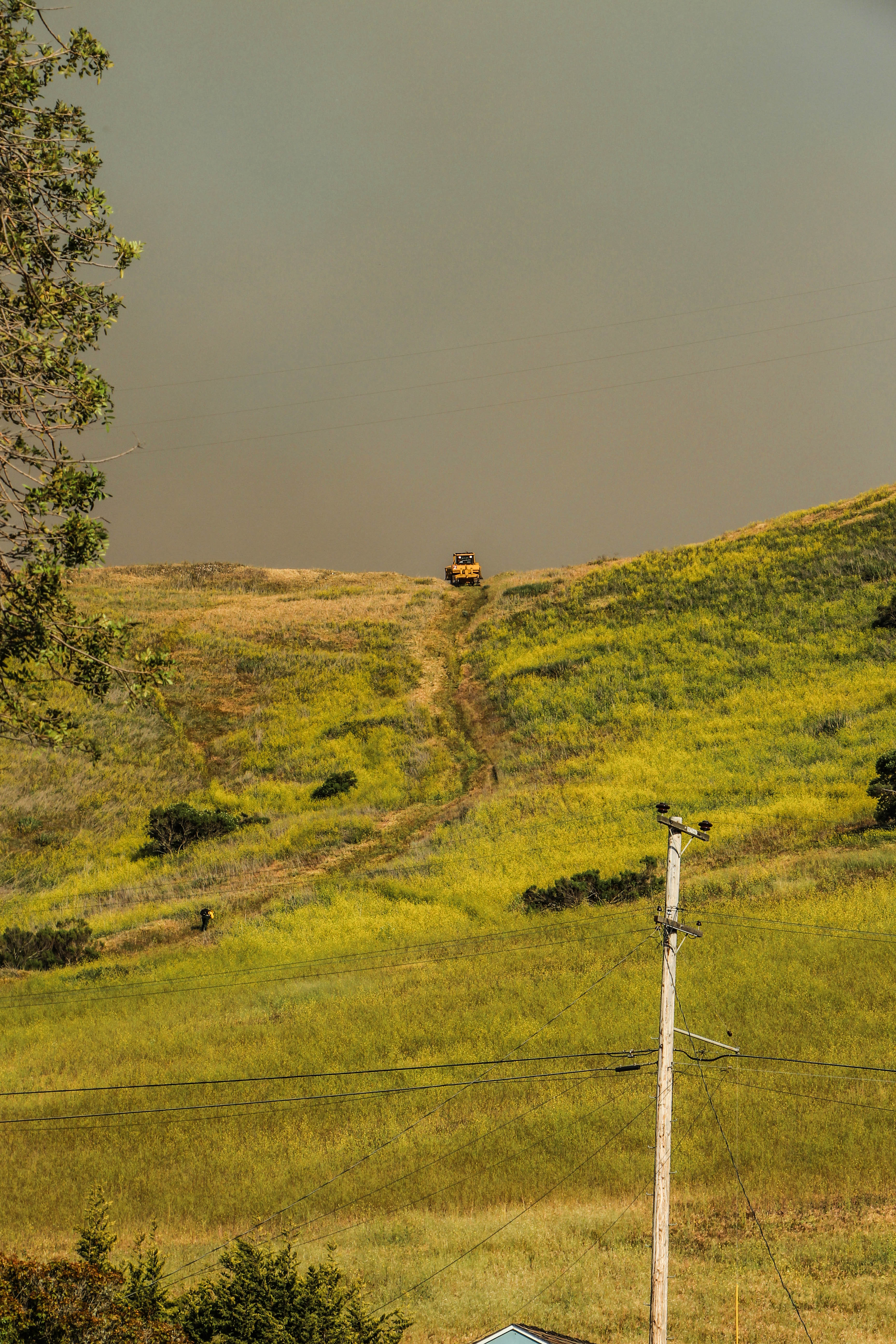
Miguelito Fire
Pinot Noir... It's coming...
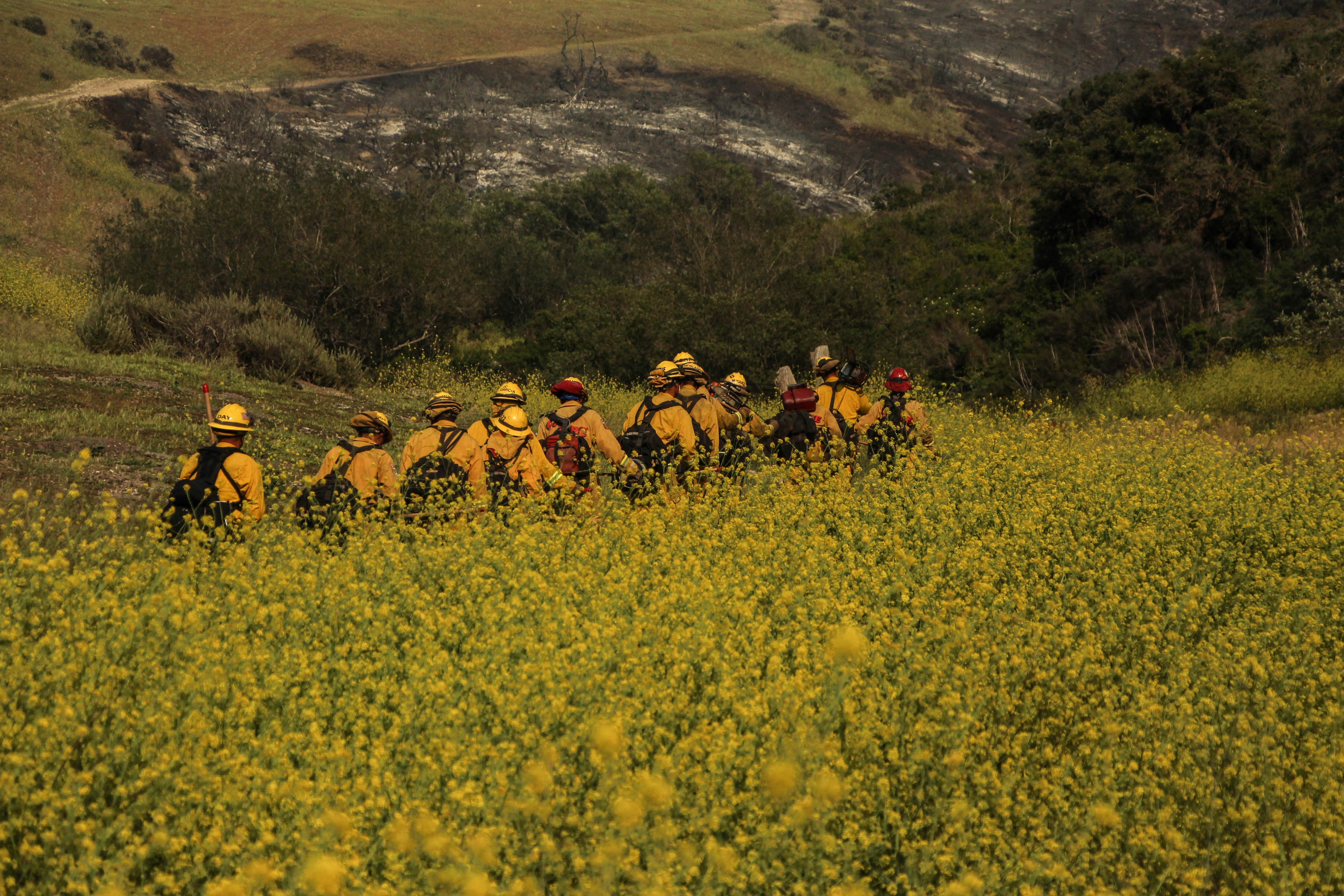
Miguelito Fire

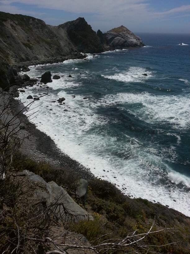
Scenes from the SoCal Coast
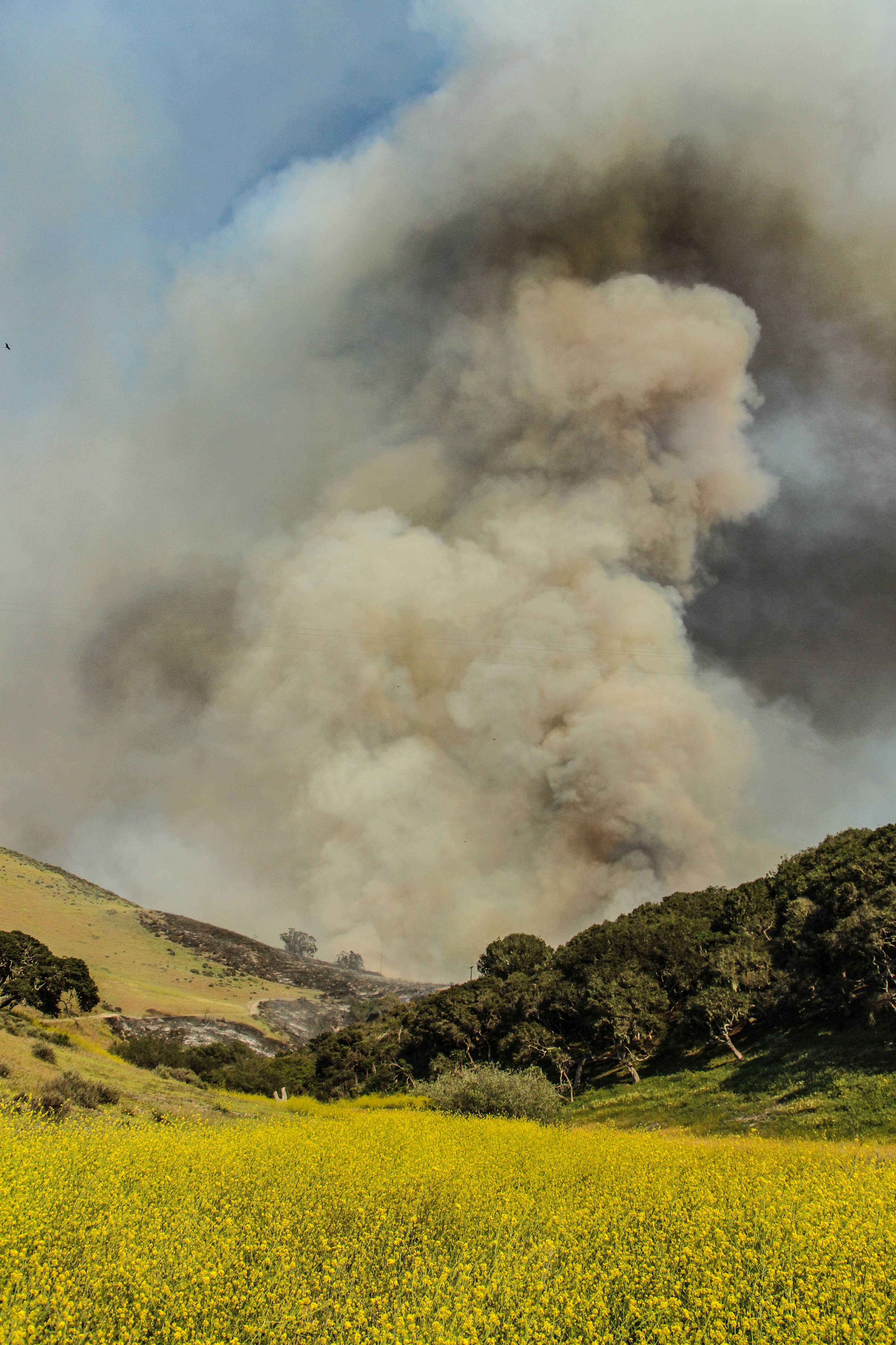
Miguelito Fire

Thank you rain -- yellow and green
BD road trip 2013

Early morning at Jalama Creek
Along the Beach

Jalama Beach

Staking his territory
Guadalupe Hauler
Topographic Map of San Miguelito Road, San Miguelito Rd, Lompoc, CA, USA
Find elevation by address:

Places near San Miguelito Road, San Miguelito Rd, Lompoc, CA, USA:
890 Lasalle Canyon Rd
Lompoc
W Ocean Ave, Lompoc, CA, USA
1344 Marigold Way
900 N H St
1117 N H St
Jalama Beach County Park
East Cherry Avenue
1105 N Poppy St
500 Cooper Dr
697 Mercury Ave
Chandler Dr, Lompoc, CA, USA
300 Burton Mesa Blvd
Vandenberg Village
Rigel Ave, Lompoc, CA, USA
New Mexico Ave & 13th St
2900 Flora
Vandenberg Air Force Base
Vandenberg Air Force Base
7470 Ca-1
Recent Searches:
- Elevation of Homestead Ridge, New Braunfels, TX, USA
- Elevation of Orchard Road, Orchard Rd, Marlborough, NY, USA
- Elevation of 12 Hutchinson Woods Dr, Fletcher, NC, USA
- Elevation of Holloway Ave, San Francisco, CA, USA
- Elevation of Norfolk, NY, USA
- Elevation of - San Marcos Pass Rd, Santa Barbara, CA, USA
- Elevation of th Pl SE, Issaquah, WA, USA
- Elevation of 82- D Rd, Captain Cook, HI, USA
- Elevation of Harlow CM20 2PR, UK
- Elevation of Shenyang Agricultural University, Dong Ling Lu, Shen He Qu, Shen Yang Shi, Liao Ning Sheng, China