Elevation of San Miguel, Poblacion, Nabua, Camarines Sur, Philippines
Location: Philippines > Bicol > Camarines Sur > Nabua > Poblacion >
Longitude: 123.375965
Latitude: 13.4060338
Elevation: 12m / 39feet
Barometric Pressure: 101KPa
Elevation Map:
Satellite Map:
Related Photos:
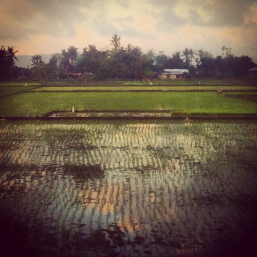
sa libis ng nayon #bikol
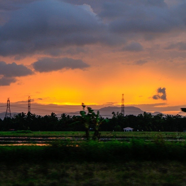
Sunset at the highway to Legazpi #philippinies #travel #the_ph #ilovephilippines #itsmorefuninthephilippines #travelph #bicol #legazpi #highway #panphilippinehighway #sunset #beautiful #sky #skyporn #roadtrip #carshot
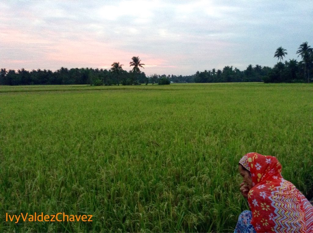
Rice Field

Donsol to Laiya 12
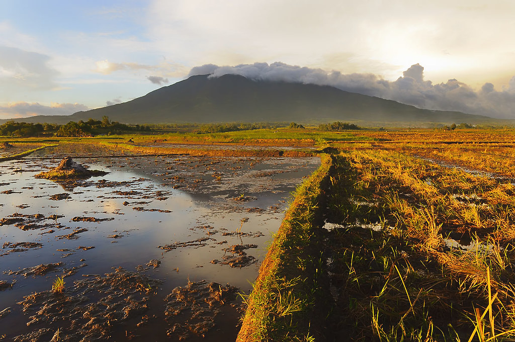
Mt. Isarog at sunset

Donsol to Laiya 11

Donsol to Laiya 09

Donsol to Laiya 08
SWIMMING POOL

Donsol to Laiya 07
Topographic Map of San Miguel, Poblacion, Nabua, Camarines Sur, Philippines
Find elevation by address:

Places near San Miguel, Poblacion, Nabua, Camarines Sur, Philippines:
Nabua National High School
San Isidro Poblacion Nabua
San Nicolas
San Francisco (pob.)
Antipolo Young
San Esteban
Santiago Old Barangay Hall
Santiago Old
Antipolo Young Elem. School
San Antonio Ogbon Brgy Road
To San Vicente Bato
Nabua
Nabua
San Vicente
San Roque (pob.)
San Isidro Inapatan
San Vicente
Inapatan (del Rosario Inapatan)
Brgy.chapel Of Topas Proper
Dolorosa
Recent Searches:
- Elevation of Slanický ostrov, 01 Námestovo, Slovakia
- Elevation of Spaceport America, Co Rd A, Truth or Consequences, NM, USA
- Elevation of Warwick, RI, USA
- Elevation of Fern Rd, Whitmore, CA, USA
- Elevation of 62 Abbey St, Marshfield, MA, USA
- Elevation of Fernwood, Bradenton, FL, USA
- Elevation of Felindre, Swansea SA5 7LU, UK
- Elevation of Leyte Industrial Development Estate, Isabel, Leyte, Philippines
- Elevation of W Granada St, Tampa, FL, USA
- Elevation of Pykes Down, Ivybridge PL21 0BY, UK