Elevation of San Marcelino, Zambales, Philippines
Location: Philippines > Central Luzon > Zambales >
Longitude: 120.274348
Latitude: 15.026051
Elevation: 184m / 604feet
Barometric Pressure: 99KPa
Elevation Map:
Satellite Map:
Related Photos:

View from My House - Subic Bay Philippines

Pinatubo.007
Pinatubo.009

PH-FB-00039
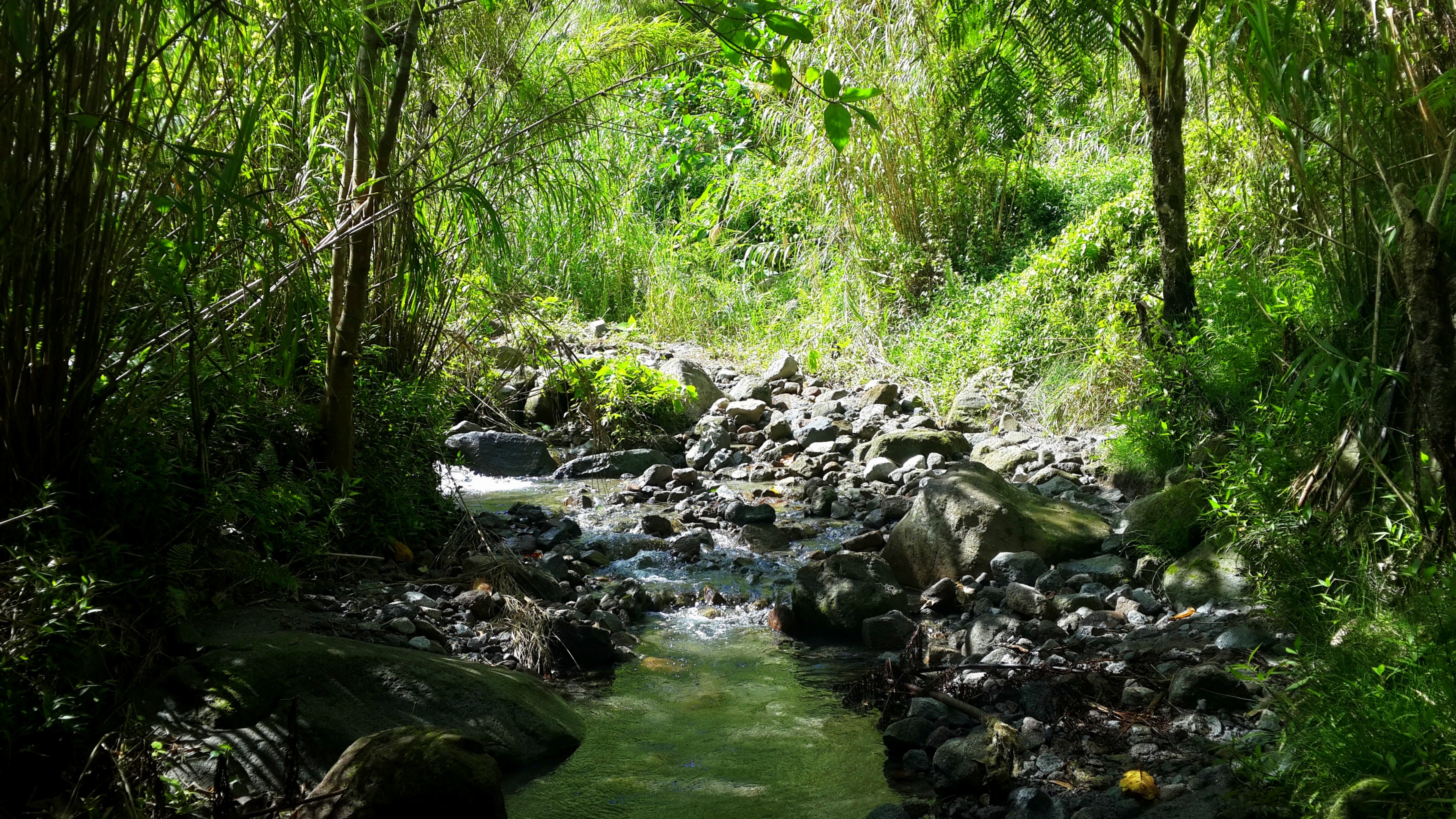
Forest stream

Pinatubo, Philippines

Mount Pinatubo / Philippines

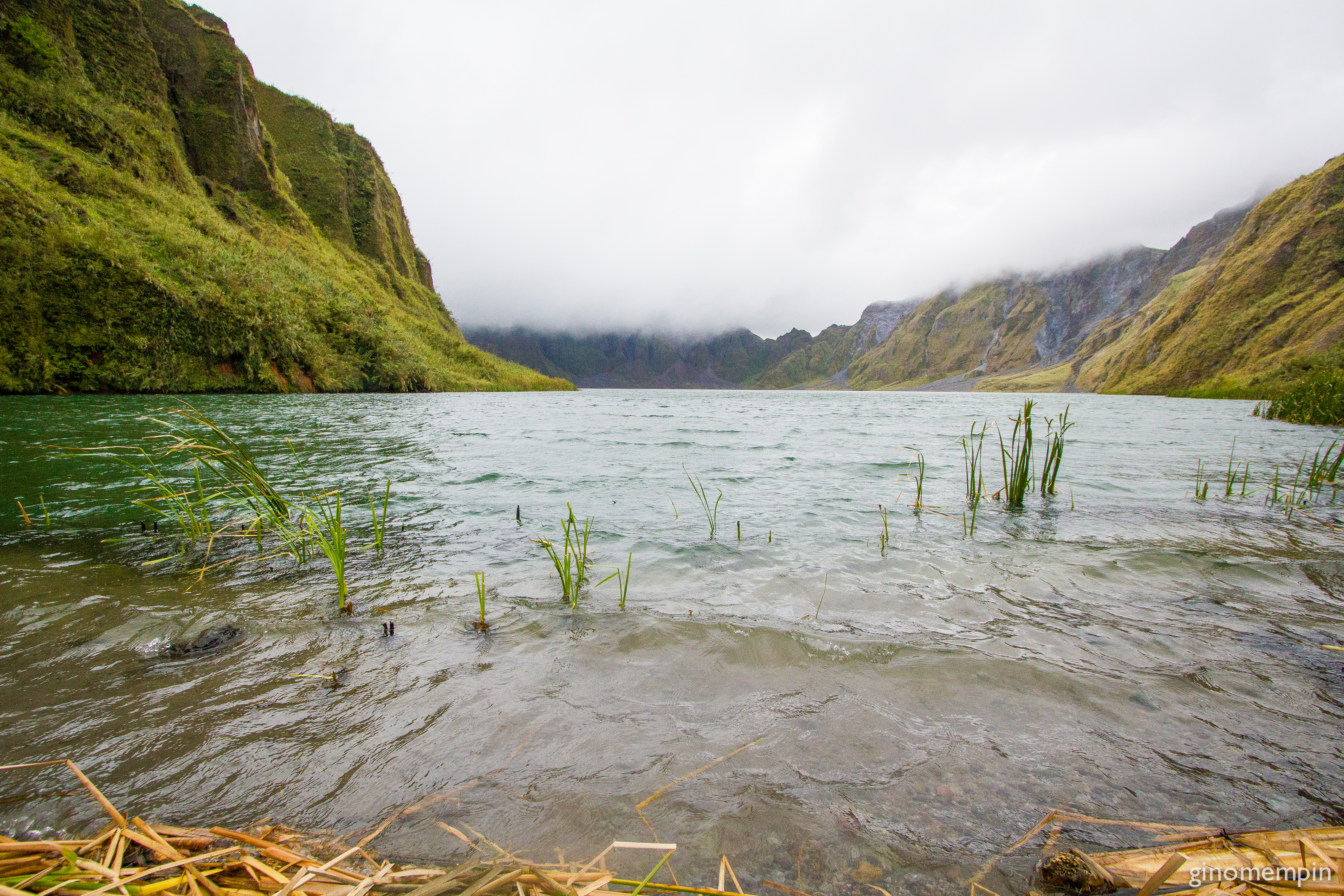
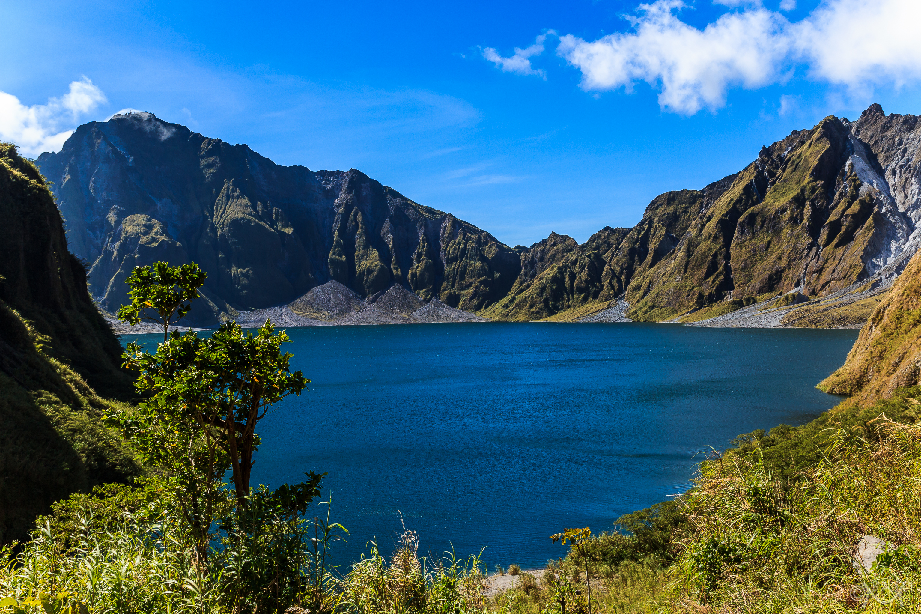
Volcanic Crater Lake

Landscape of lahar

Mount Pinatubo Volcano

Pinatubo, Philippines

Pinatubo, Philippines

Pinatubo, Philippines
Pinatubo, Philippines

Pinatubo, Philippines
Topographic Map of San Marcelino, Zambales, Philippines
Find elevation by address:

Places near San Marcelino, Zambales, Philippines:
Batiawan
Camp Sanchez
Nabuclod Zipline And Aeta Community
Nabuclod Mountain Views
Nabuclod Barangay Hall
Mawacat
Porac
Gumain River
Pandaguirig
Palmayo
Calantas
Planas
Subic - Clark - Tarlac Expressway
Pio
Sandbox
Alviera
Alviera Pampanga
Camias
Bellavita
Avida Northdale Settings Alviera
Recent Searches:
- Elevation of 6 Rue Jules Ferry, Beausoleil, France
- Elevation of Sattva Horizon, 4JC6+G9P, Vinayak Nagar, Kattigenahalli, Bengaluru, Karnataka, India
- Elevation of Great Brook Sports, Gold Star Hwy, Groton, CT, USA
- Elevation of 10 Mountain Laurels Dr, Nashua, NH, USA
- Elevation of 16 Gilboa Ln, Nashua, NH, USA
- Elevation of Laurel Rd, Townsend, TN, USA
- Elevation of 3 Nestling Wood Dr, Long Valley, NJ, USA
- Elevation of Ilungu, Tanzania
- Elevation of Yellow Springs Road, Yellow Springs Rd, Chester Springs, PA, USA
- Elevation of Rēzekne Municipality, Latvia