Elevation of San Lorenzo, Santa Catalina, Playa Vicente, Ver., Mexico
Location: Mexico > Veracruz > Playa Vicente > Playa Vicente > Santa Catalina >
Longitude: -95.819886
Latitude: 17.8225847
Elevation: 65m / 213feet
Barometric Pressure: 101KPa
Elevation Map:
Satellite Map:
Related Photos:

In the #road
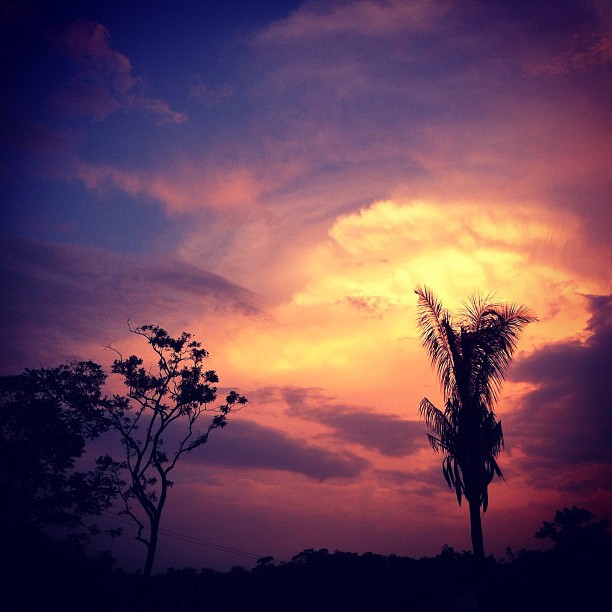
#Sad #Sunset
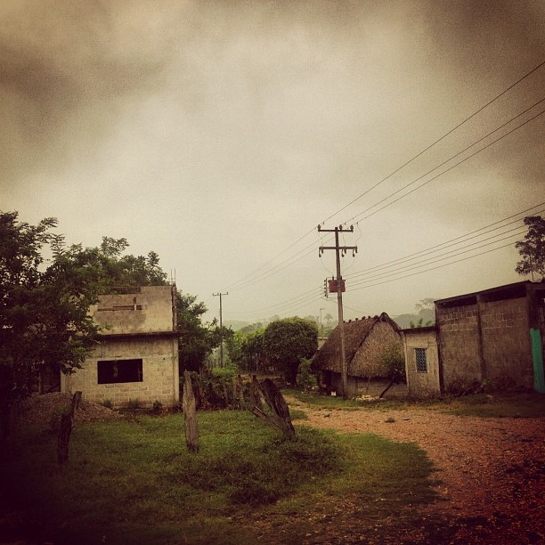
#local #store
#sad #road

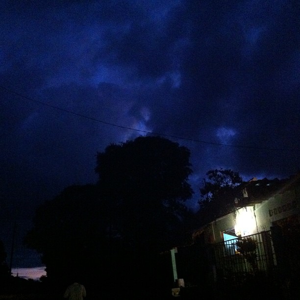
#night
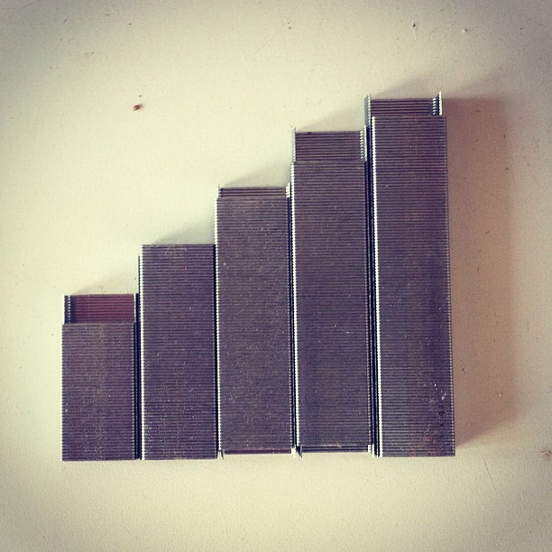
Getting the #signal one #staple at a time
#meel

#afterthestorm
#edge

#cloud
Topographic Map of San Lorenzo, Santa Catalina, Playa Vicente, Ver., Mexico
Find elevation by address:

Places near San Lorenzo, Santa Catalina, Playa Vicente, Ver., Mexico:
Santa Catalina
Playa Vicente
Playa Vicente
San Bartolo
Guadalupe
Santo Domingo 20, Guadalupe, Guadalupe, Oax., Mexico
Tuxtepec
San Juan Bautista Tuxtepec
Tuxtepec
5 de Febrero 9, Centro, Ejido del Centro, Ver., Mexico
Centro
Tuxtilla
2 de Sept. 91, Victor Bravo Ahuja, Tuxtepec, Oax., Mexico
De Cazuarina, Las Palmas Fovissste, Tuxtepec, Oax., Mexico
Las Palmas Fovissste
Valle Nacional
Novara
Tierra Blanca - Sayula de Alemán 28, Cd Alemán, Ver., Mexico
San Juan Bautista Valle Nacional
Zona Urbana Ejidal
Recent Searches:
- Elevation of Rojo Ct, Atascadero, CA, USA
- Elevation of Flagstaff Drive, Flagstaff Dr, North Carolina, USA
- Elevation of Avery Ln, Lakeland, FL, USA
- Elevation of Woolwine, VA, USA
- Elevation of Lumagwas Diversified Farmers Multi-Purpose Cooperative, Lumagwas, Adtuyon, RV32+MH7, Pangantucan, Bukidnon, Philippines
- Elevation of Homestead Ridge, New Braunfels, TX, USA
- Elevation of Orchard Road, Orchard Rd, Marlborough, NY, USA
- Elevation of 12 Hutchinson Woods Dr, Fletcher, NC, USA
- Elevation of Holloway Ave, San Francisco, CA, USA
- Elevation of Norfolk, NY, USA