Elevation of San Clemente Terrace, Fremont, CA, USA
Location: United States > California > Alameda County > Fremont > Vineyards - Avalon >
Longitude: -121.90490
Latitude: 37.489021
Elevation: 121m / 397feet
Barometric Pressure: 100KPa
Elevation Map:
Satellite Map:
Related Photos:

Stop. Look. Enjoy.

Magical Sparkles

mY first HDR

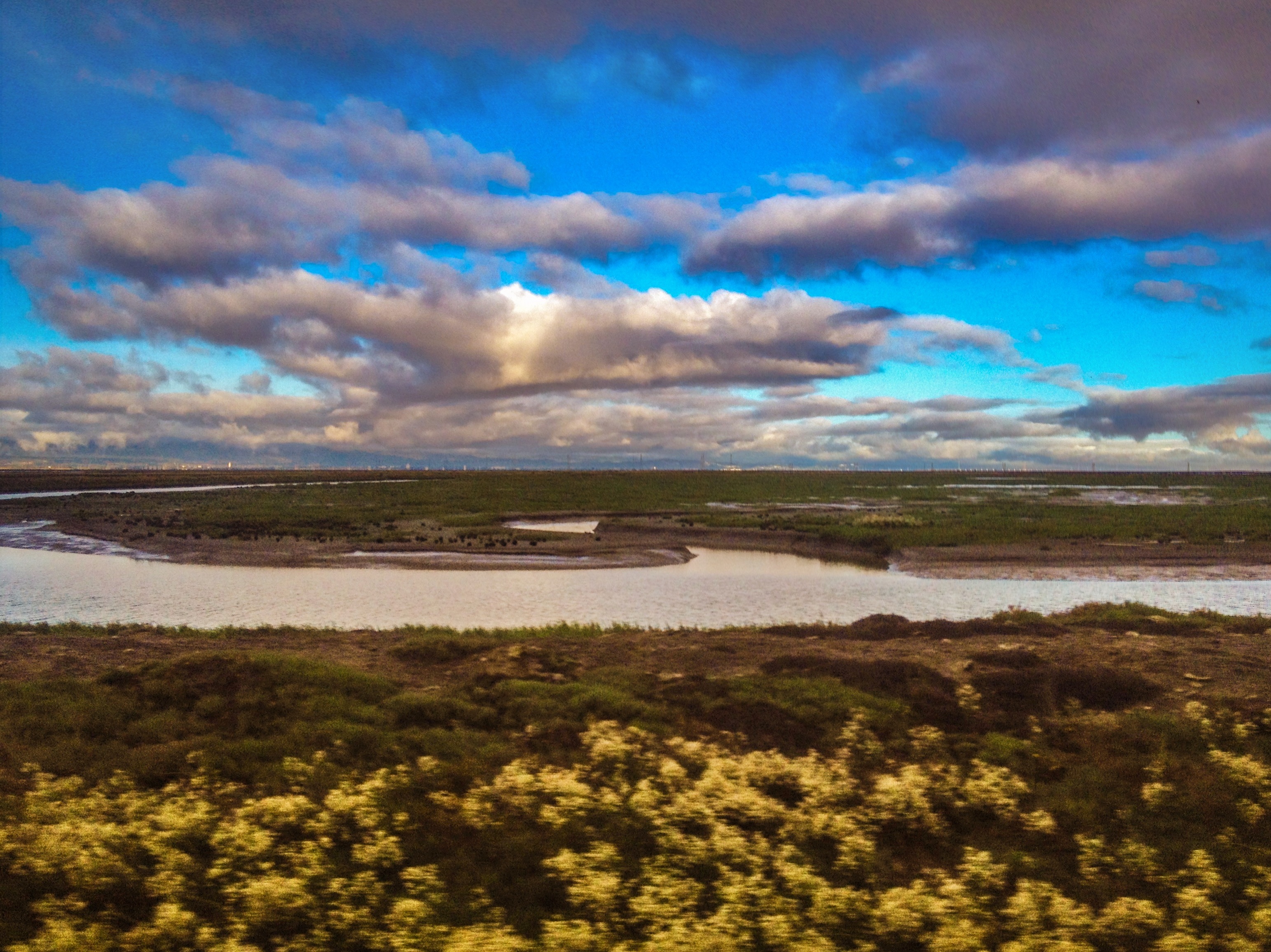
Alviso Blue Hour
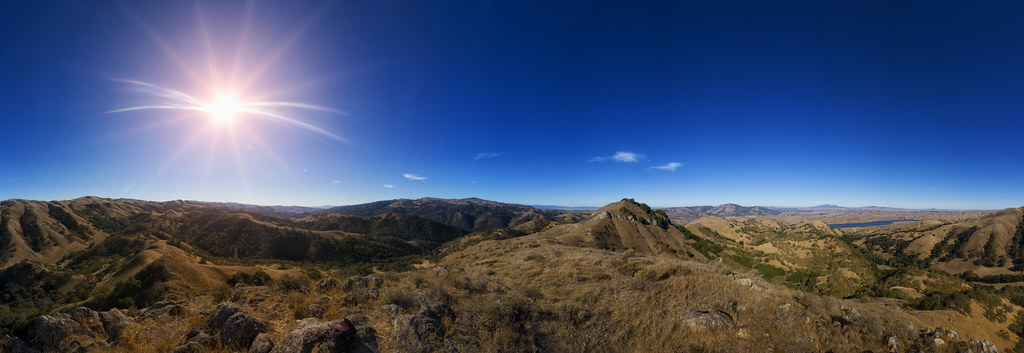
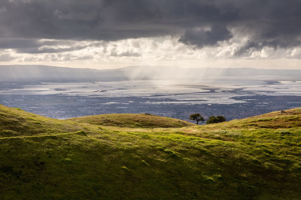
View from Maguire Peaks
Forget the year

DSC02820 Mushroom quilt

Empty seats at the stadium
do you dare venture beyond?
power divides us
Cracked Earth

Golden View
No One In This World

Least Sandpiper
DSC02816 Winter landscape quilt

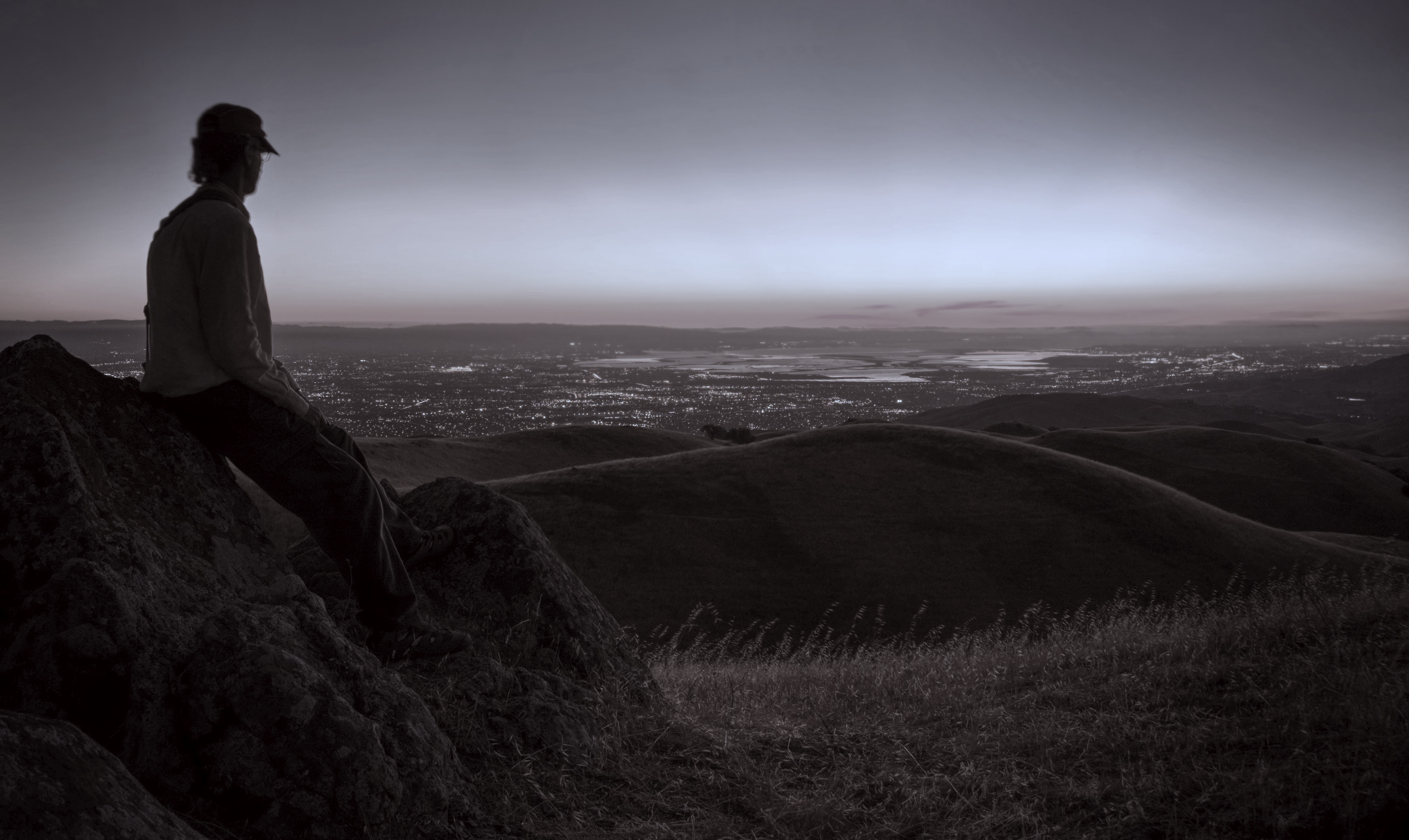
Dawn Hikers - Mission Peak

Avocet in Motion
Naked in the early morning
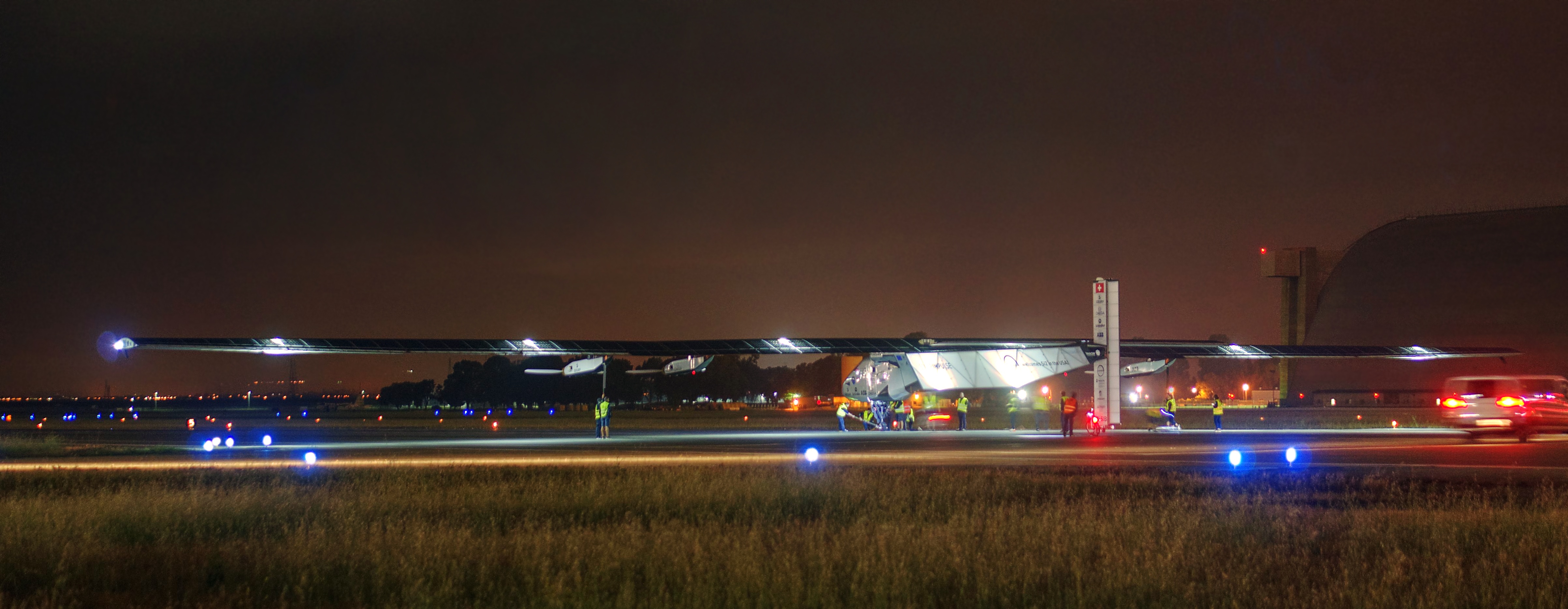
Solar Impulse taking off at Moffett Field for a historic flight around the world
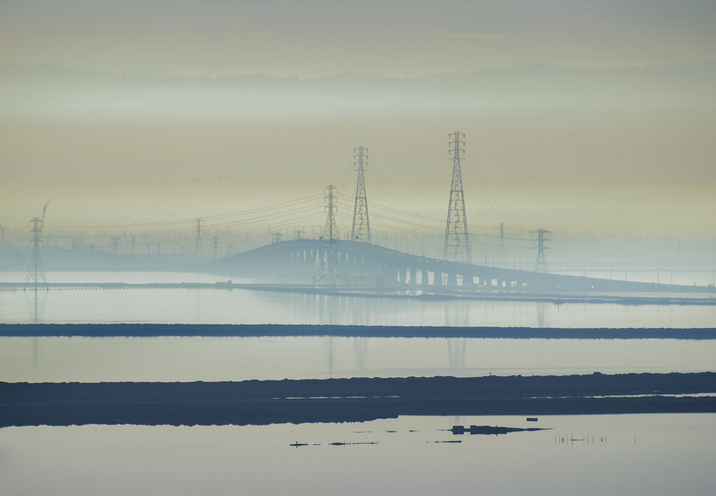
Foggy Days and Foggy Bays
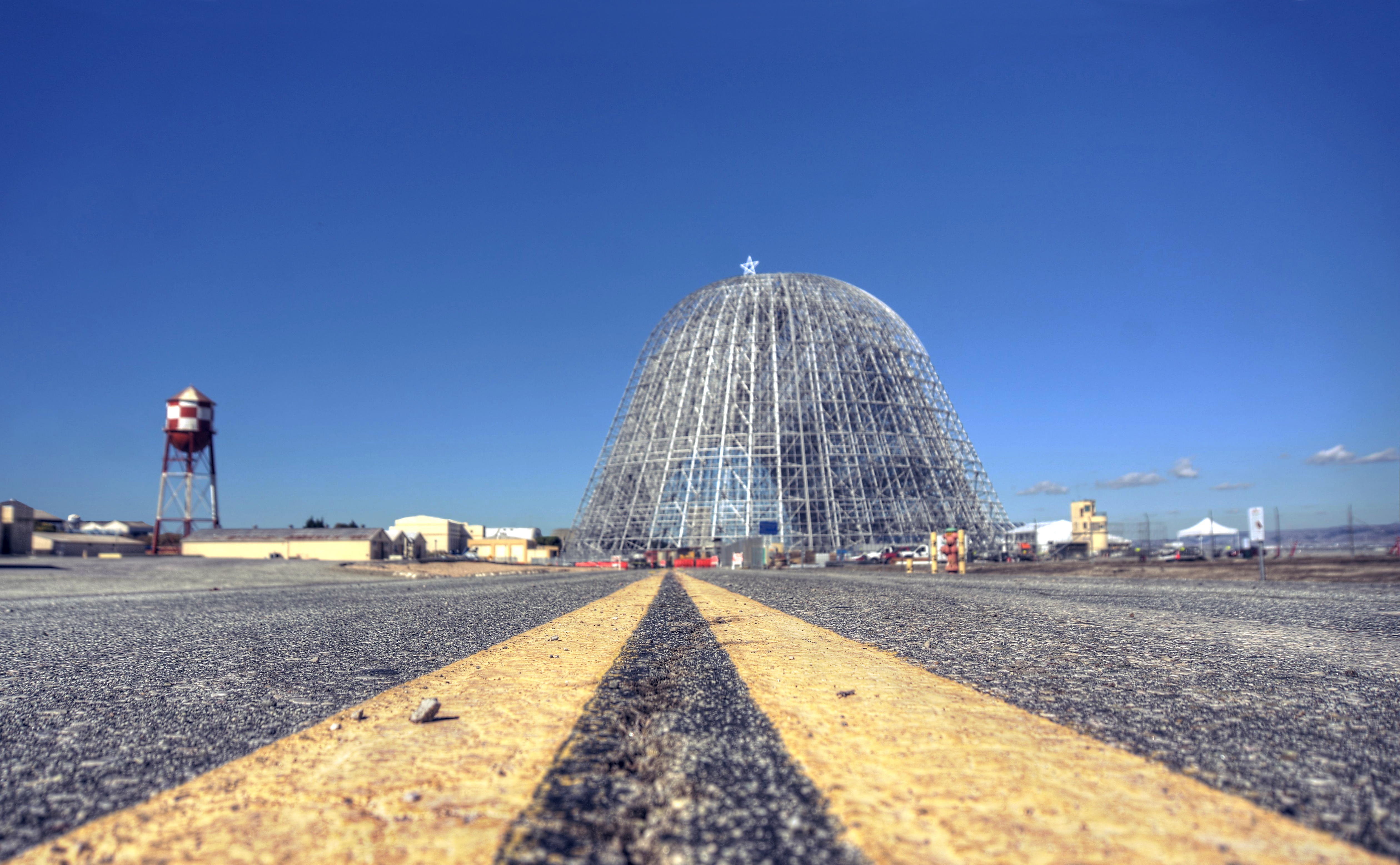
All roads lead to Silicon Valley

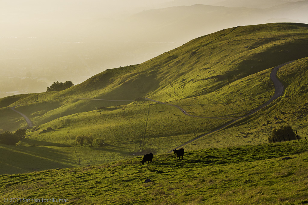
Green Pastors

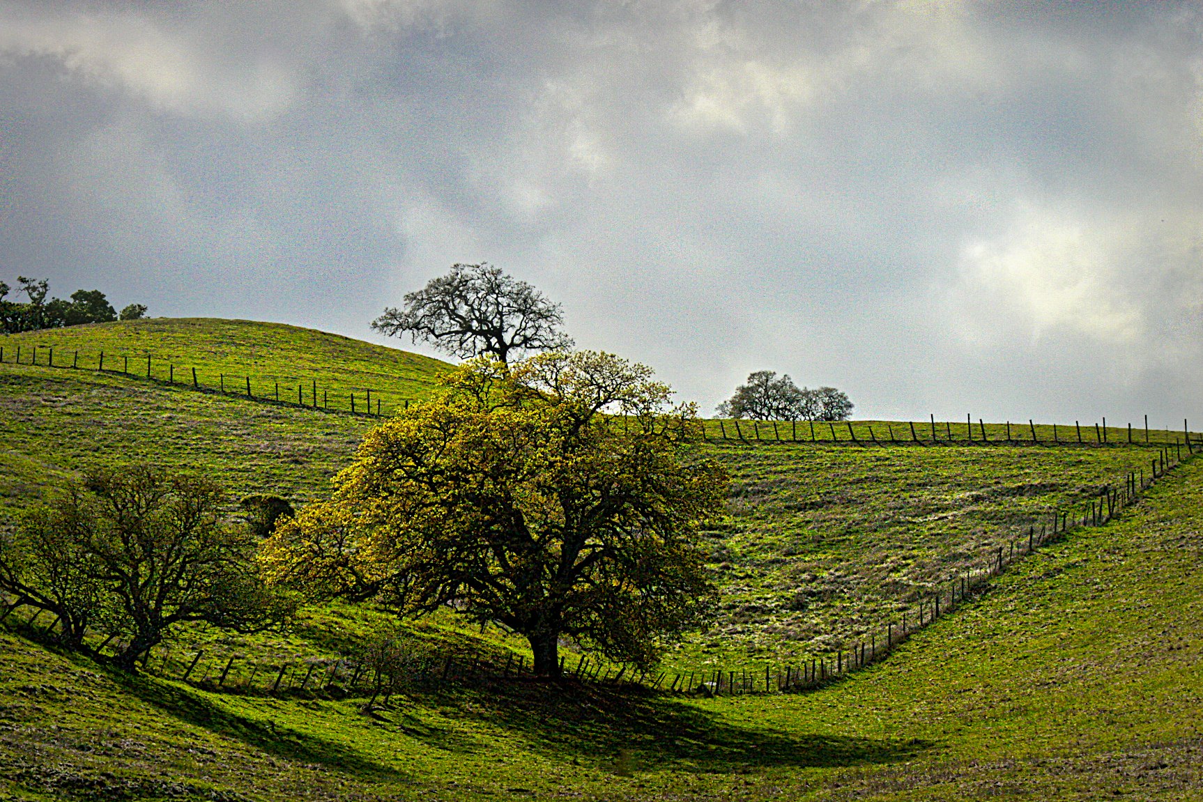
Calaveras Road
Sunol Spring Hillside No.01

Door of opportunities :)
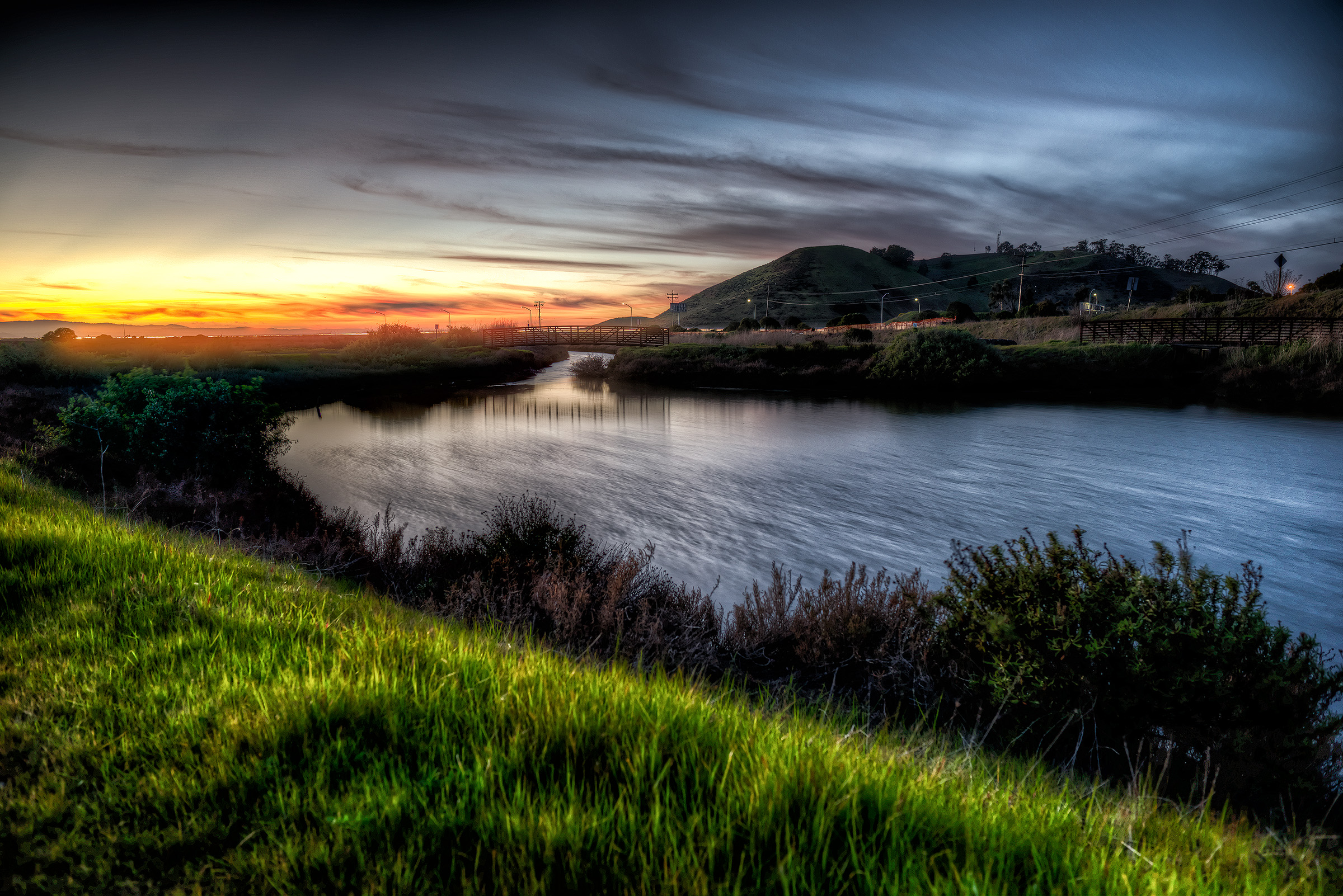
Scattered Showers
SF Bay
Spotted Hercules on my mud run at Alum Rock. #ToTheTop

Easy way down

Spring. #california #eastbay #instanature #grass #weed #donedwards #rei1440project #neverstopexploring #hike #nofilter #goldenhour #sunset #skysnappers
A Candle Burns Brightest
The Beamer
The Road

windy Grass
The mountains in their frontyard and the clouds as their backyard. I want one too! #missionpeak #house #seaofclouds #dream #california #fremont #hike #rei1440project #neverstopexploring #nofilter #outdoors #goldenhour
Back to the future

Back on top. I should do this every other day! Or everytime there's a MIA-OKC game. #missionpeak #fremont #hike

Cattle in a Paster off Calaveras Road.

Alviso, San Jose, CA
Topographic Map of San Clemente Terrace, Fremont, CA, USA
Find elevation by address:

Places near San Clemente Terrace, Fremont, CA, USA:
2919 Woodside Terrace
Vineyards - Avalon
Warm Springs
Venus Court
Bannon Court
48441 Ursa Dr
Bayberry Common
47530 Fortner St
46794 Winema Common
385 Tuolumne Dr
48825 Big Horn Ct
Ottawa Way
48233 Warm Springs Blvd
508 Gamay Ct
Factory Tea Bar
48980 Tulare Dr
Fred E. Weibel Elementary School
451 Gosser St
400 Kato Terrace
Lynx Court
Recent Searches:
- Elevation of 72-31 Metropolitan Ave, Middle Village, NY, USA
- Elevation of 76 Metropolitan Ave, Brooklyn, NY, USA
- Elevation of Alisal Rd, Solvang, CA, USA
- Elevation of Vista Blvd, Sparks, NV, USA
- Elevation of 15th Ave SE, St. Petersburg, FL, USA
- Elevation of Beall Road, Beall Rd, Florida, USA
- Elevation of Leguwa, Nepal
- Elevation of County Rd, Enterprise, AL, USA
- Elevation of Kolchuginsky District, Vladimir Oblast, Russia
- Elevation of Shustino, Vladimir Oblast, Russia