Elevation of San Antonio Mountain, New Mexico, USA
Location: United States > New Mexico > Jemez Springs >
Longitude: -106.61586
Latitude: 35.9375211
Elevation: 2976m / 9764feet
Barometric Pressure: 70KPa
Elevation Map:
Satellite Map:
Related Photos:

Jemez Falls detail
East Fork Jemez River View East
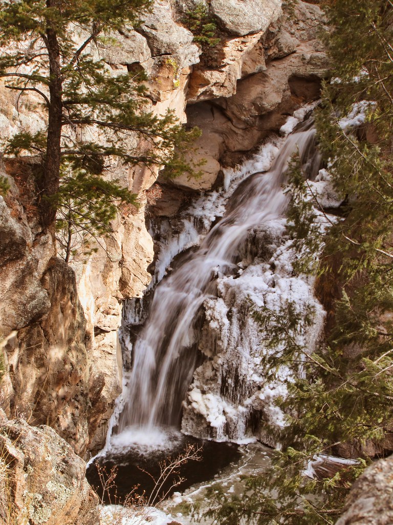
Jemez Falls

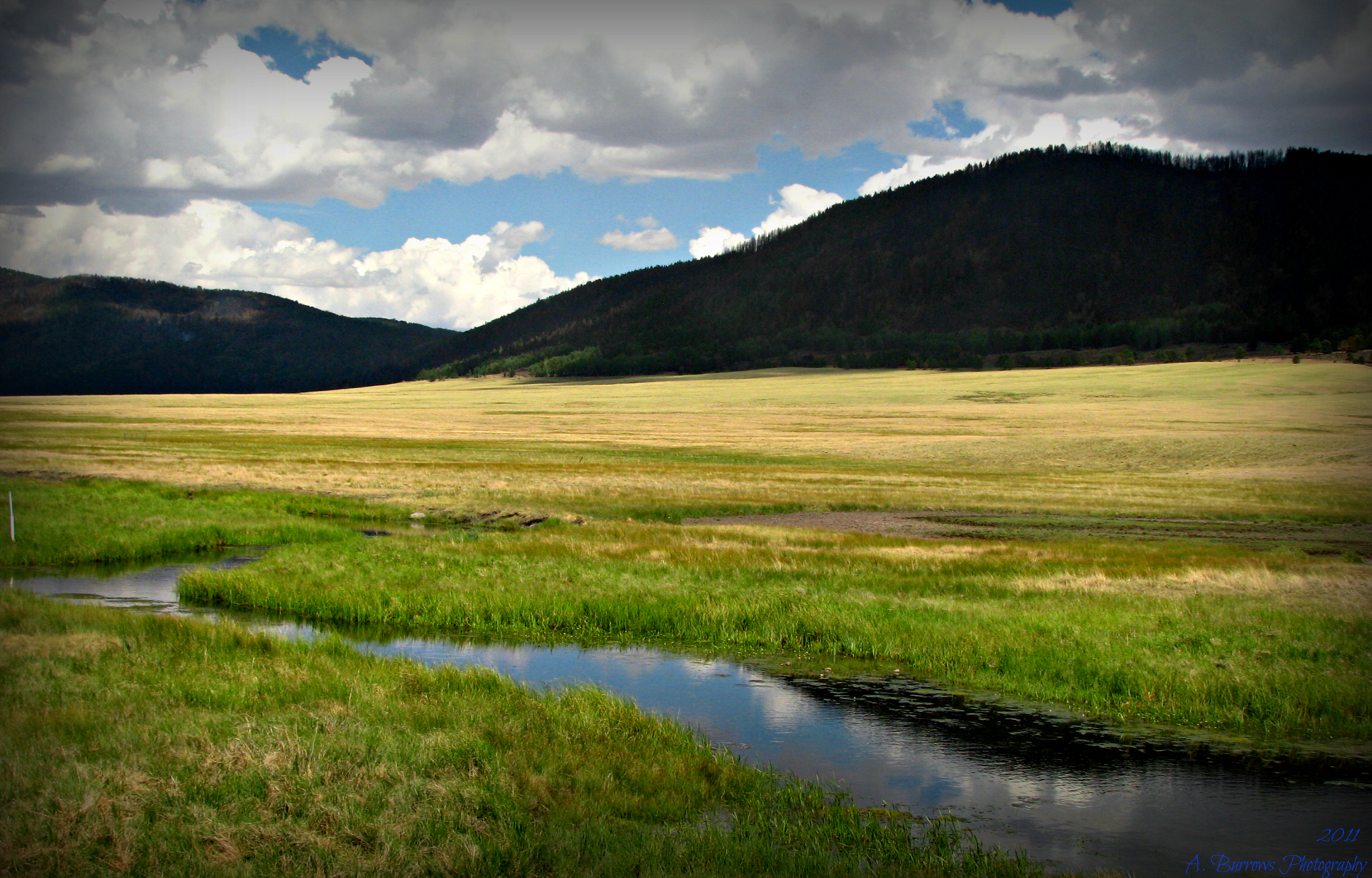
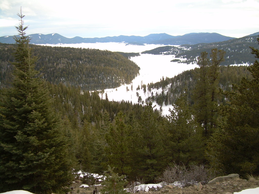
Valle Grande

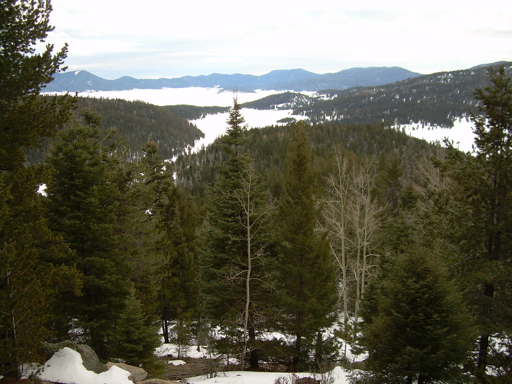
Mesa View

View from lodge

Southwest View Of East Fork Jemez

View from Jemez Falls
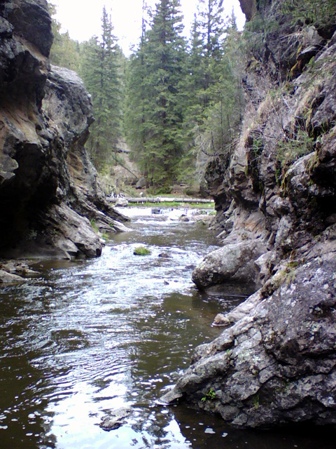
By The Jemez River
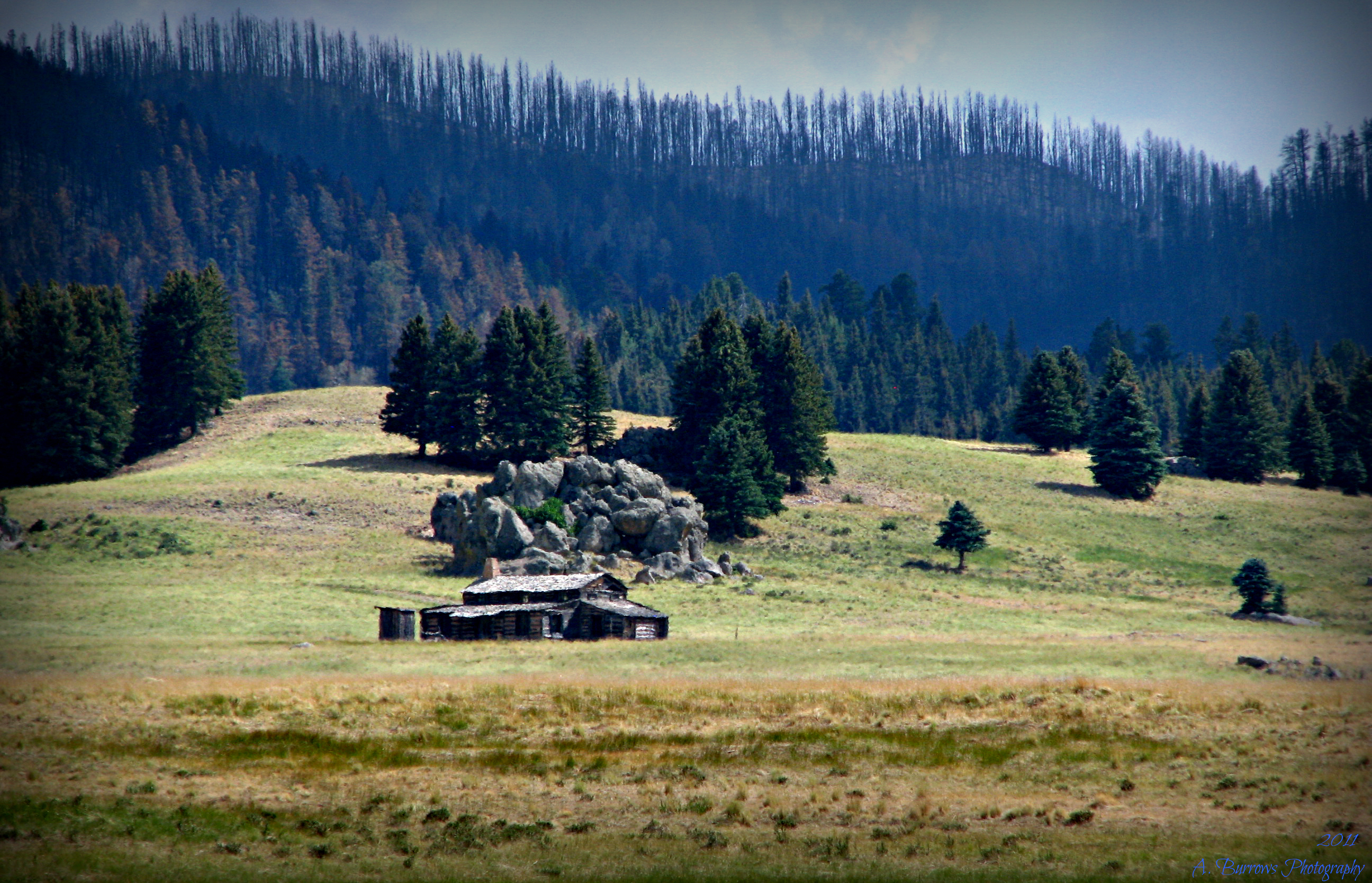
View Of Burned Forest From Valle Grande
East Fork View
View from the top
View from the top

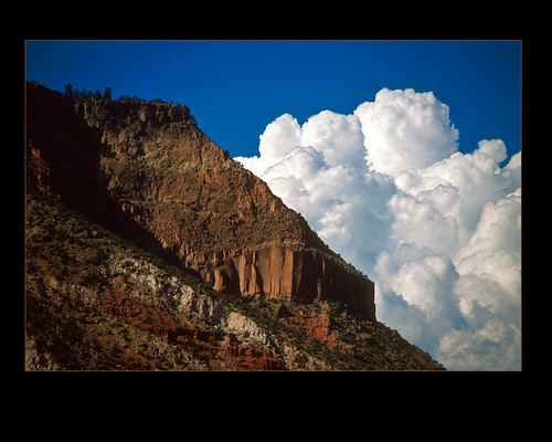
Canyon view
Topographic Map of San Antonio Mountain, New Mexico, USA
Find elevation by address:

Places near San Antonio Mountain, New Mexico, USA:
San Antonio Hot Springs
219 Porcupine Trail
136 Elk Trail
382 Horseshoe Hollow
458 Hidden Valley Rd
458 Hidden Valley Rd
458 Hidden Valley Rd
458 Hidden Valley Rd
458 Hidden Valley Rd
Tent Rocks
Valles Caldera
Sierra De Los Pinos
97 Amber Way
74 Calypso Ln
99 Juniper Rd
306 San Diego Loop
1499 San Diego Loop
Los Ojos Restaurant & Saloon
17526 Nm-4
Jemez Springs
Recent Searches:
- Elevation of Corso Fratelli Cairoli, 35, Macerata MC, Italy
- Elevation of Tallevast Rd, Sarasota, FL, USA
- Elevation of 4th St E, Sonoma, CA, USA
- Elevation of Black Hollow Rd, Pennsdale, PA, USA
- Elevation of Oakland Ave, Williamsport, PA, USA
- Elevation of Pedrógão Grande, Portugal
- Elevation of Klee Dr, Martinsburg, WV, USA
- Elevation of Via Roma, Pieranica CR, Italy
- Elevation of Tavkvetili Mountain, Georgia
- Elevation of Hartfords Bluff Cir, Mt Pleasant, SC, USA