Elevation of San Antonio Atotonilco, Tlax., Mexico
Location: Mexico > Tlaxcala >
Longitude: -98.465521
Latitude: 19.3735137
Elevation: 2318m / 7605feet
Barometric Pressure: 76KPa
Elevation Map:
Satellite Map:
Related Photos:
img_0048
img_0047
img_0041
img_0044
img_0043
img_0040
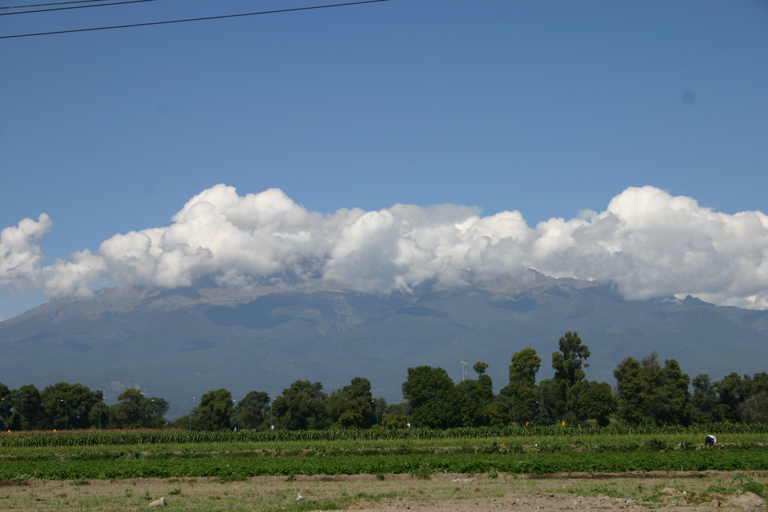
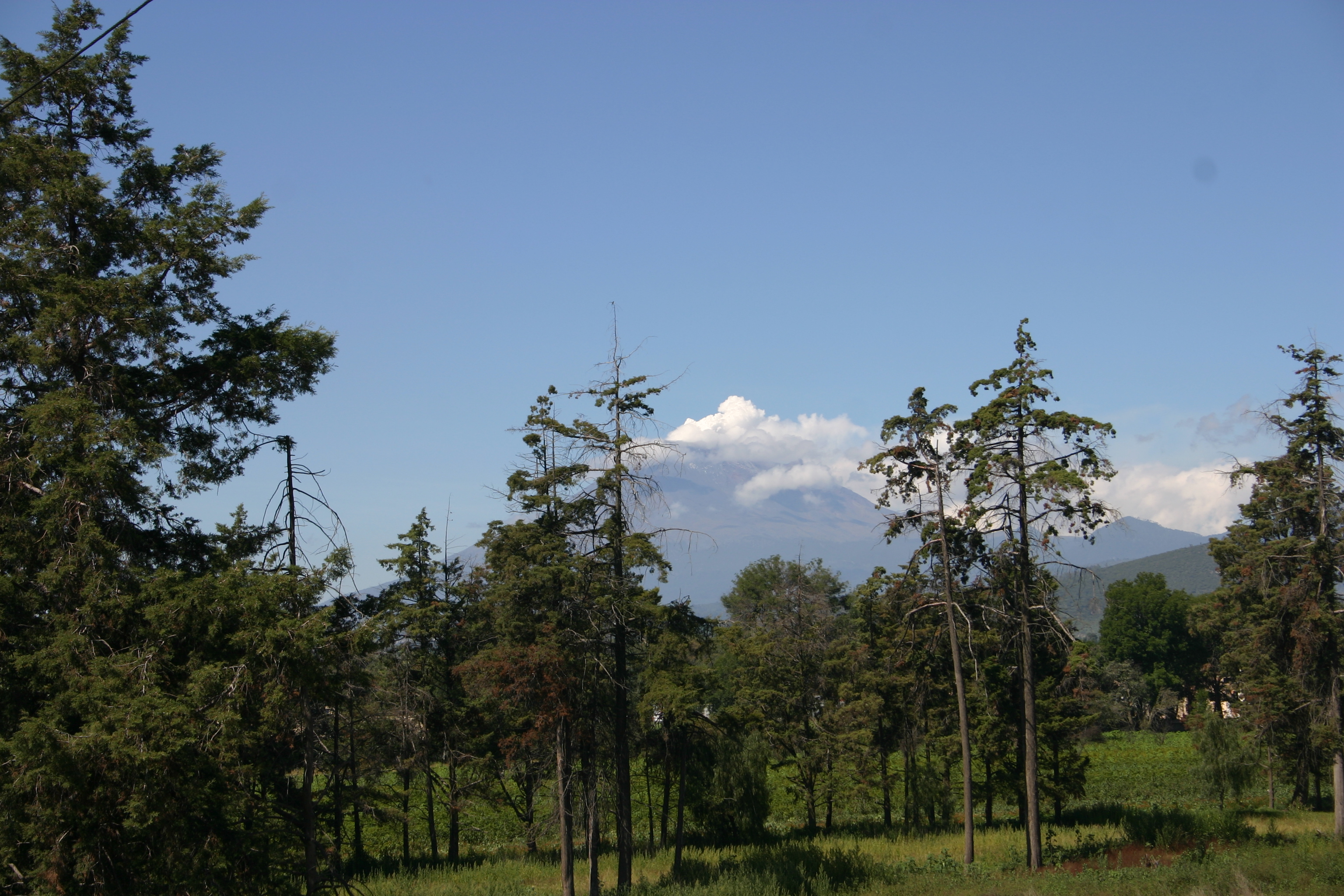
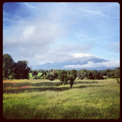
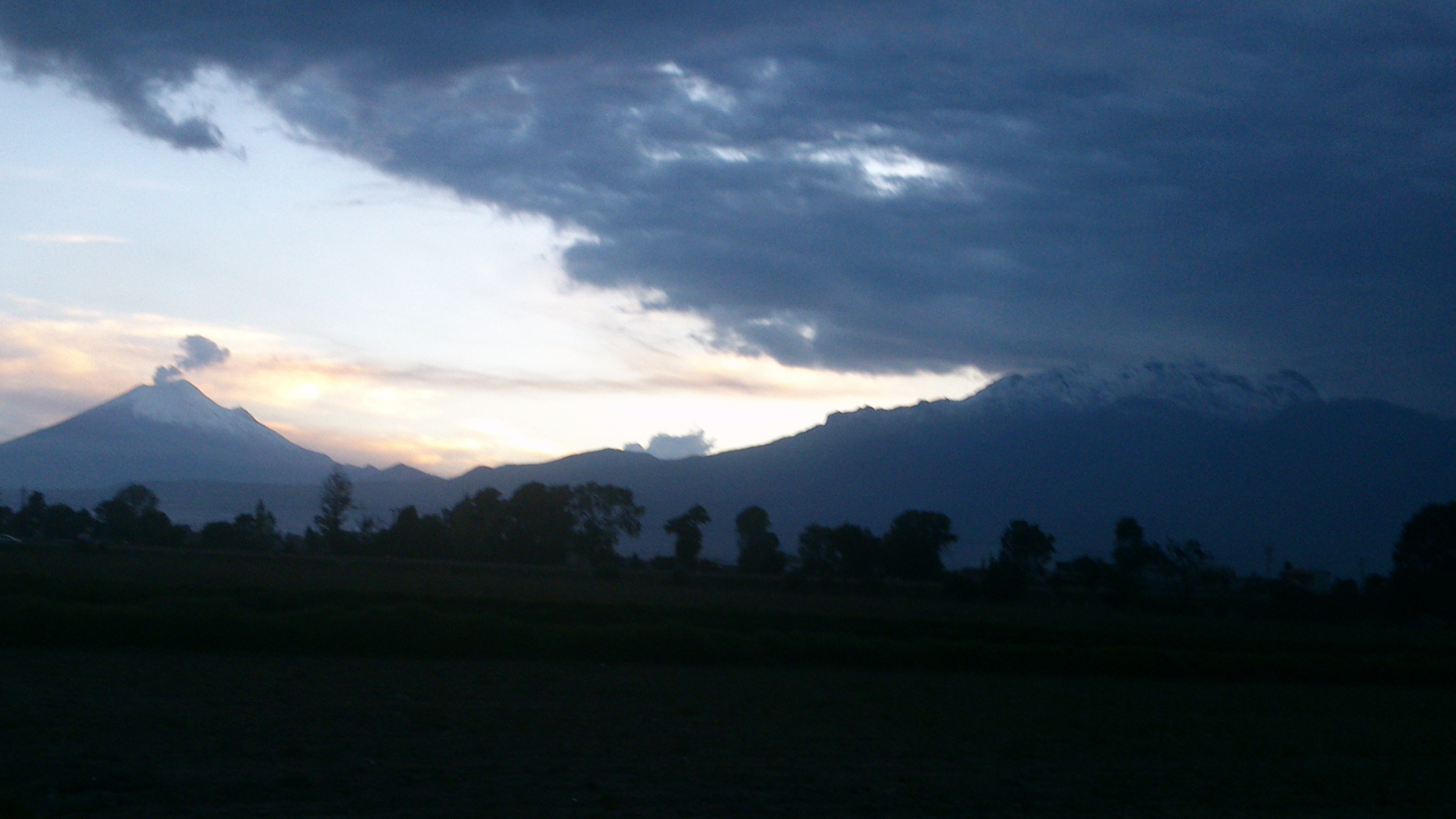
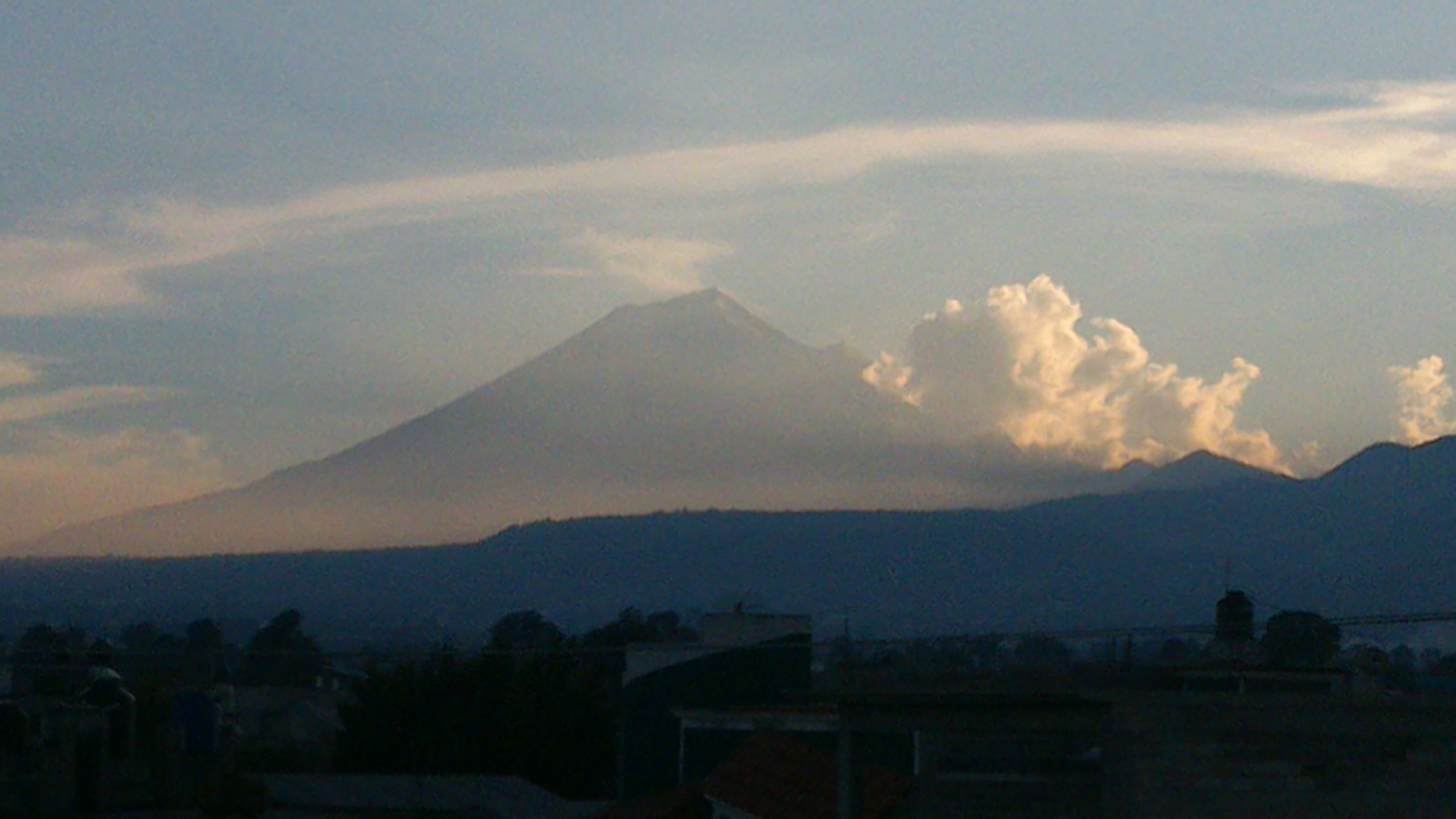
Volcanes 7:20am
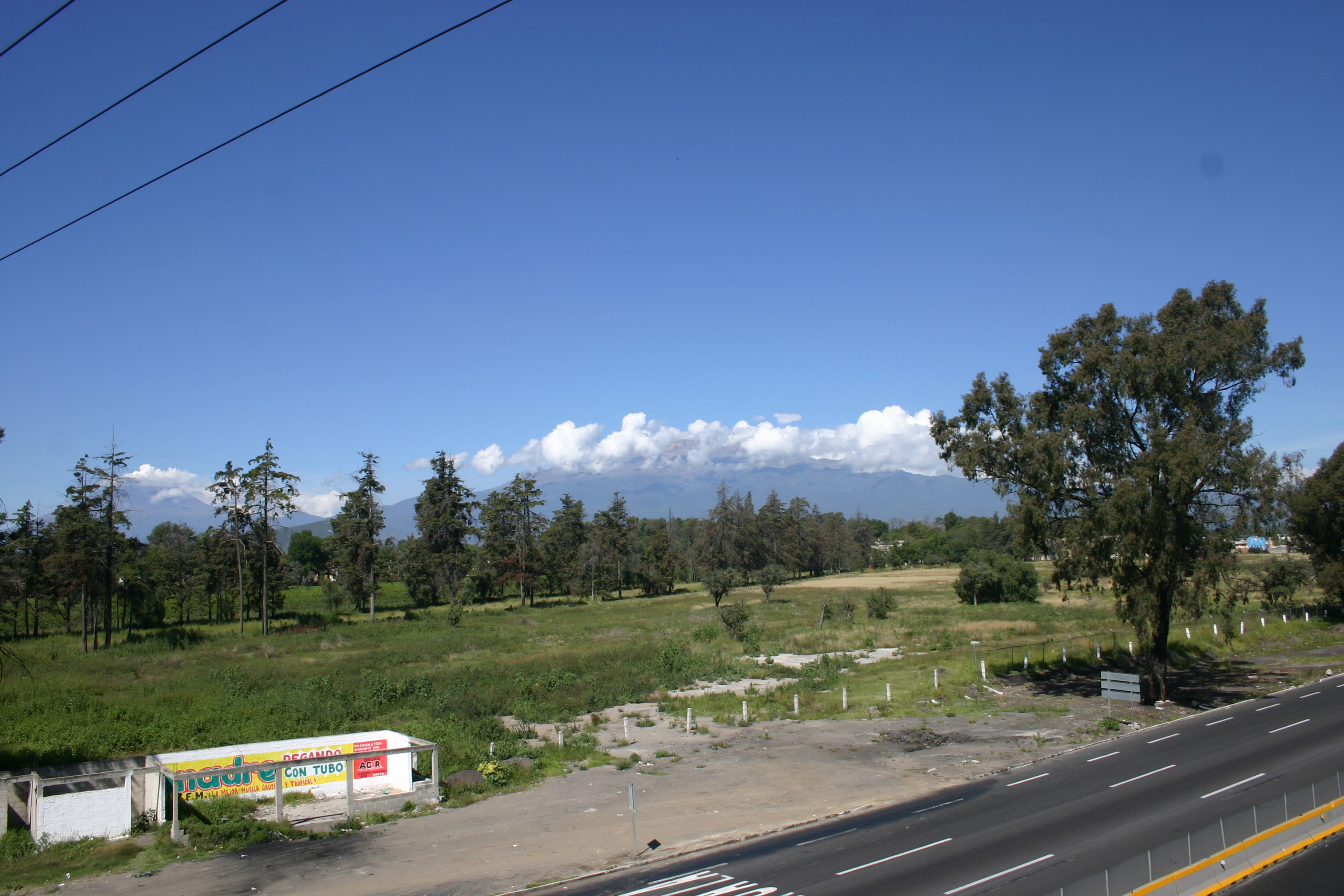
On the road to Puebla - popocatepetl volcano is smoking in the distance
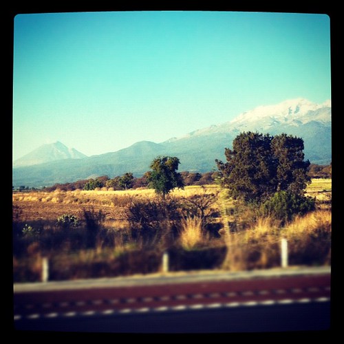
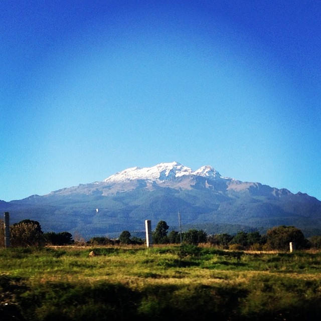
Iztaccihuatl at sunrise. it got some snow after a few days of bad weather…
DSC00045.JPG
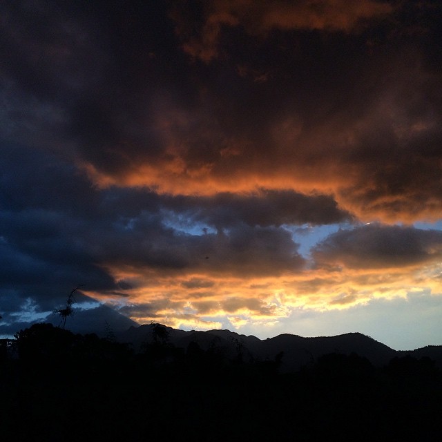
#Días de #Luz #EjerciciosEspirituales #SanIgnacioDeLoyola #JesuitasMx #Jesuitas #Color #Atardecer #Fotografía #iPhone5s

San Rafael Tlanalapan
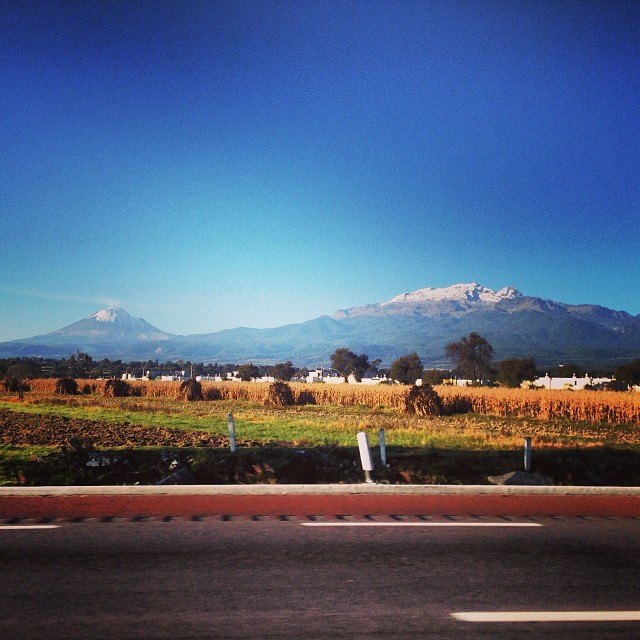
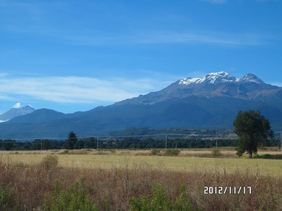
Los hermosos volcanes!!!! #mexico #iztaccihuatl #popocatepetl
San Rafael Tlanalapan
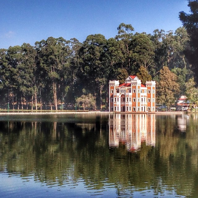
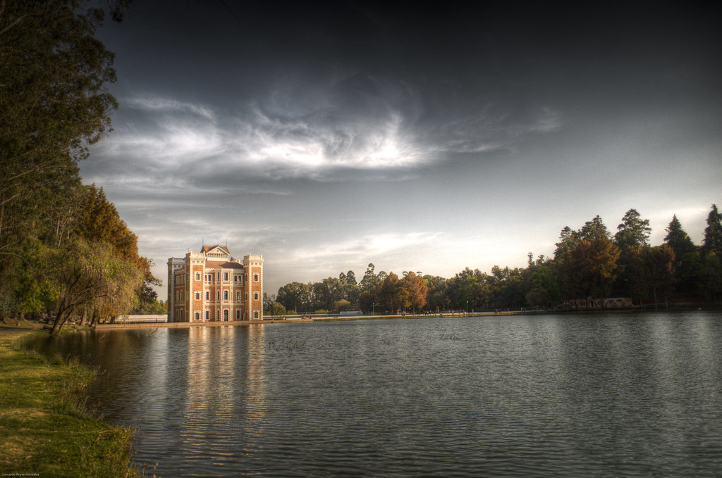
Ex hacienda de Chautla, Puebla. #igerspuebla

El Castillo
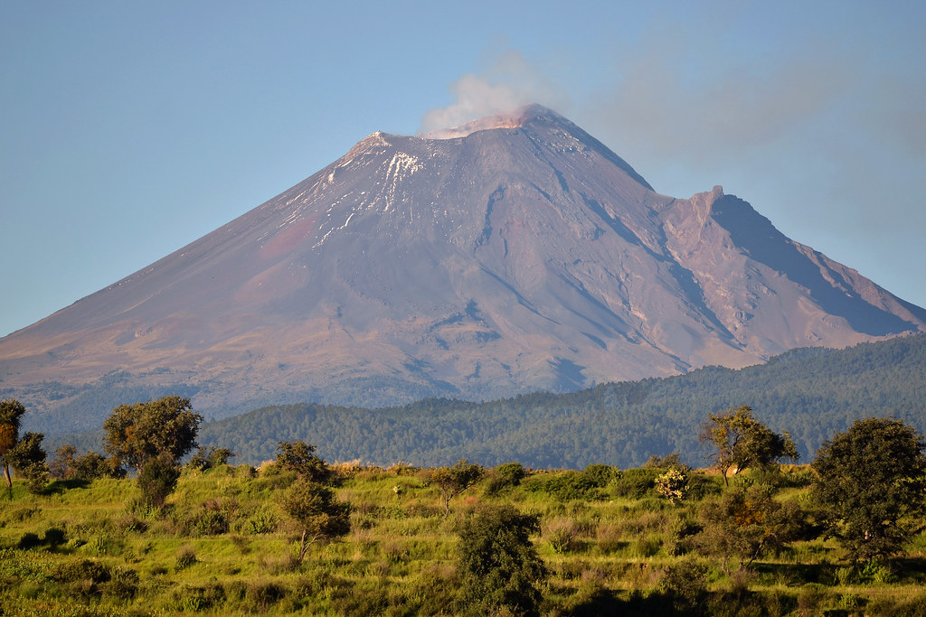
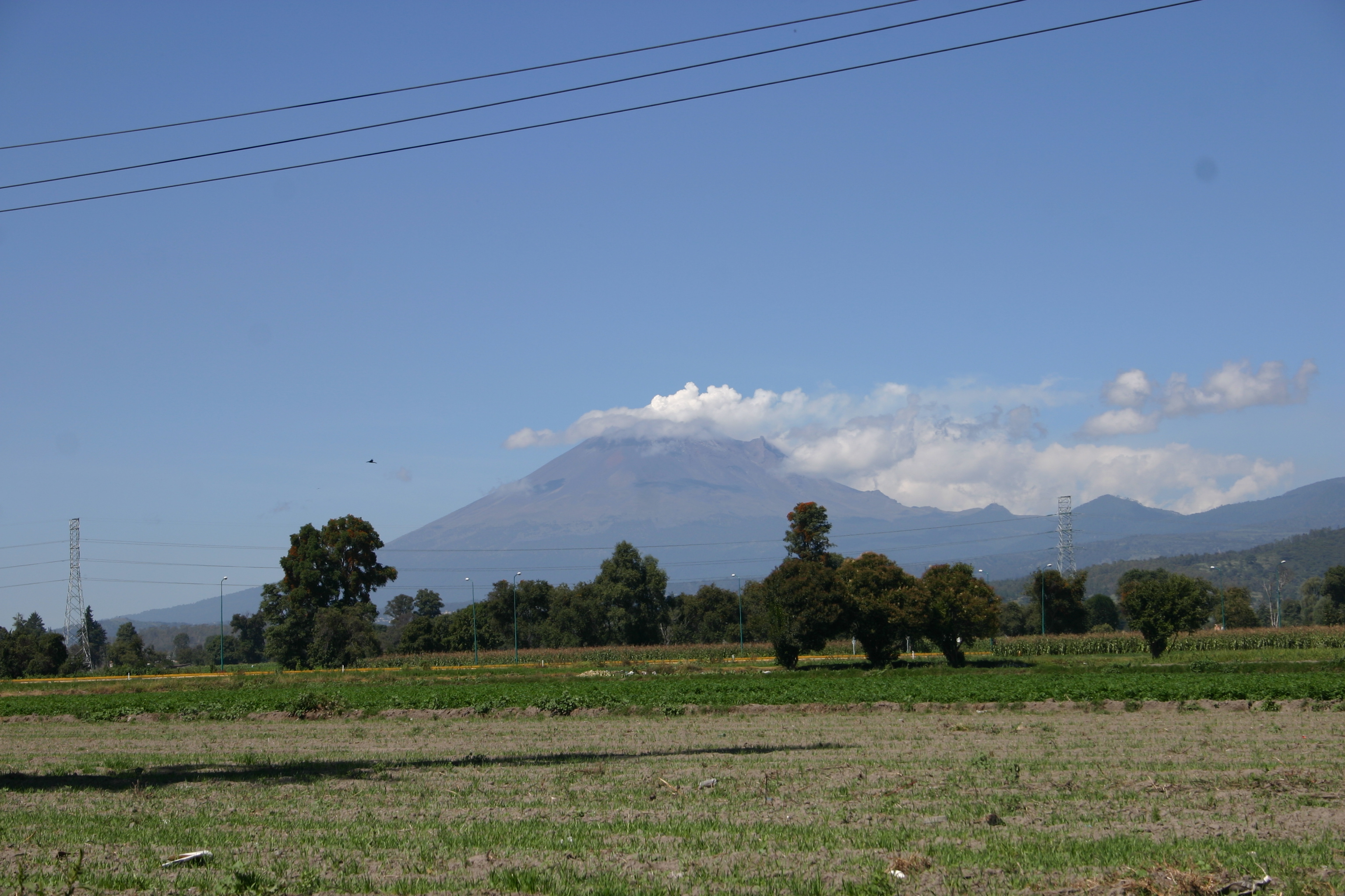
Volcan Popocatépetl
Izta-Popo
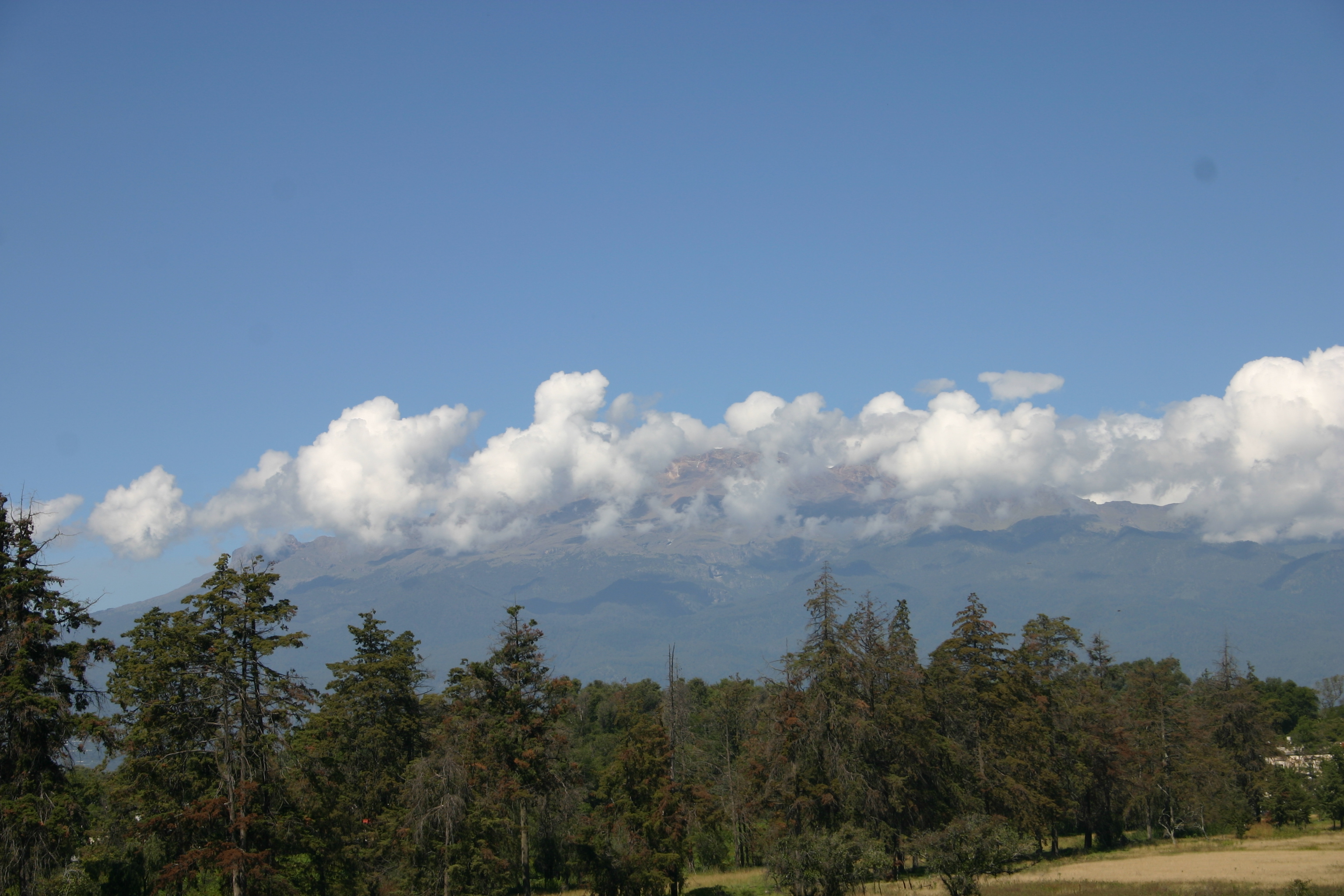
maravillas de la.naturaleza
Puebla here we go! #mexico #iztaccihuatl
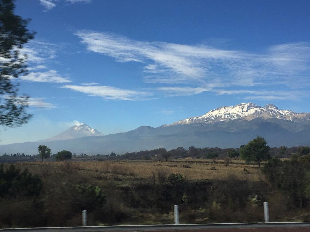
Él siempre echando #humo , ella siempre tan serena, #losamantes #volcanes #mujerdormida #DonGoyo #popocatepetl #iztaccihuatl #landscape #ontheroad

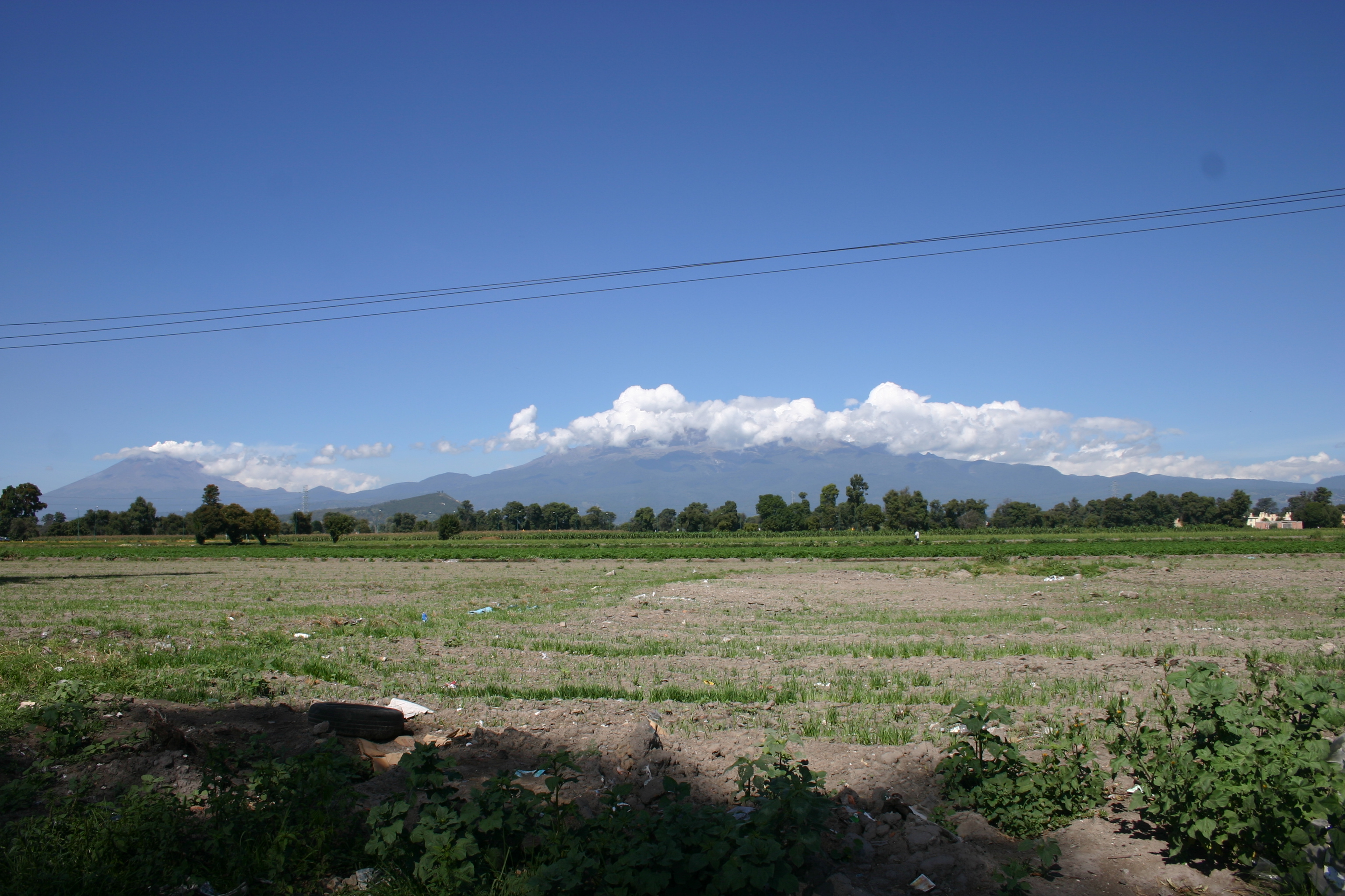
volcanes vi

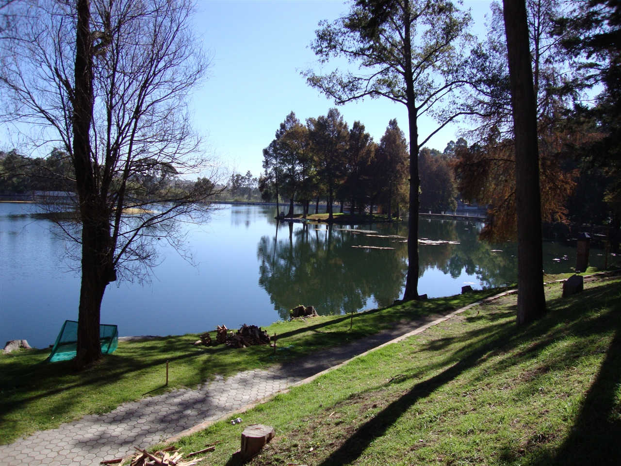
Lago esmerilado... 10 segundos
sin titulo
Casas Mágicas
Ex Hacienda de Chautla, Puebla

El Castillo
Topographic Map of San Antonio Atotonilco, Tlax., Mexico
Find elevation by address:

Places in San Antonio Atotonilco, Tlax., Mexico:
Places near San Antonio Atotonilco, Tlax., Mexico:
Calle 5 Nte. 67, San Antonio Atotonilco Centro, San Antonio Atotonilco, Tlax., Mexico
San Antonio Atotonilco Centro
Rayon 11, San Cristobal Tepatlaxco, San Martín Texmelucan de Labastida, Pue., Mexico
San Cristobal Tepatlaxco
San Salvador el Verde 76, Puebla, Mexico
San Salvador El Verde
Sanctórum
Calle 16 de Septiembre 3, Sanctórum, Tlax., Mexico
Sanctórum De Lázaro Cárdenas
Seccion Segunda De San Lorenzo Chiautzingo
Hidalgo 12
Autopista Puebla - México, Río Frío de Juárez, Pue., Mexico
San Lorenzo Chiautzingo
Mazapa
Calle 5 de Mayo 8, San José, Tlax., Mexico
Cuarto Barrio
San Antonio Tlatenco
Av. Miguel Hidalgo 12
Hidalgo 8, Rio Frio de Juárez, Río Frío de Juárez, Méx., Mexico
Río Frío De Juárez
Recent Searches:
- Elevation of Congressional Dr, Stevensville, MD, USA
- Elevation of Bellview Rd, McLean, VA, USA
- Elevation of Stage Island Rd, Chatham, MA, USA
- Elevation of Shibuya Scramble Crossing, 21 Udagawacho, Shibuya City, Tokyo -, Japan
- Elevation of Jadagoniai, Kaunas District Municipality, Lithuania
- Elevation of Pagonija rock, Kranto 7-oji g. 8"N, Kaunas, Lithuania
- Elevation of Co Rd 87, Jamestown, CO, USA
- Elevation of Tenjo, Cundinamarca, Colombia
- Elevation of Côte-des-Neiges, Montreal, QC H4A 3J6, Canada
- Elevation of Bobcat Dr, Helena, MT, USA