Elevation of Sampsonville Rd, Enosburg Falls, VT, USA
Location: United States > Vermont > Franklin County > Enosburg > Enosburg Falls >
Longitude: -72.733161
Latitude: 44.923267
Elevation: 126m / 413feet
Barometric Pressure: 100KPa
Elevation Map:
Satellite Map:
Related Photos:

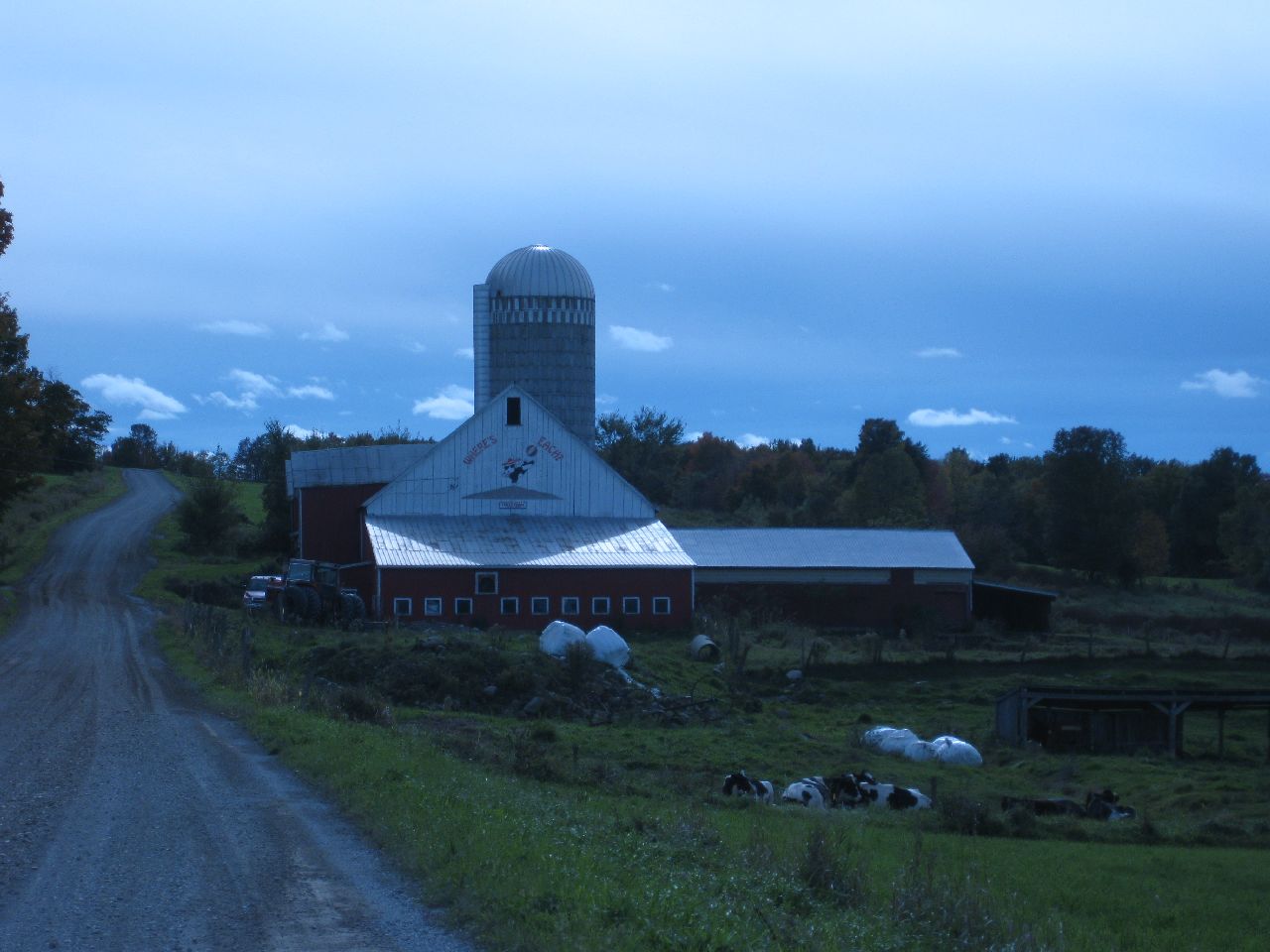
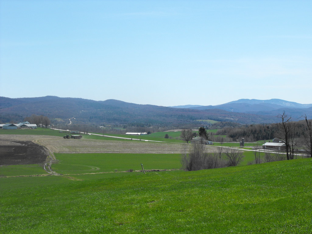
Mountain View
316 Towle Neighborhood Rd 10-2-2009 1-59-26 PM 3648x2736
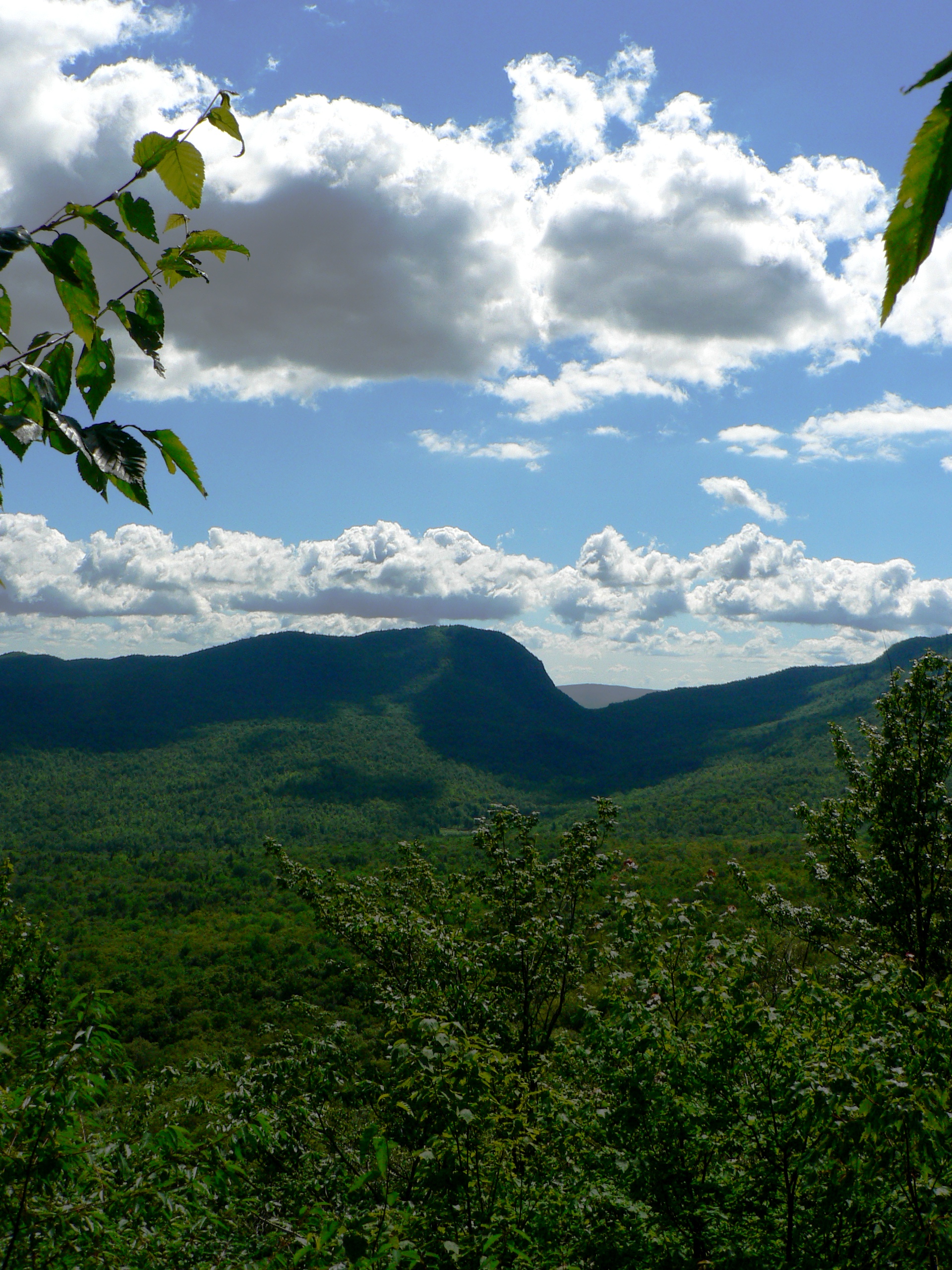
Notch View 2
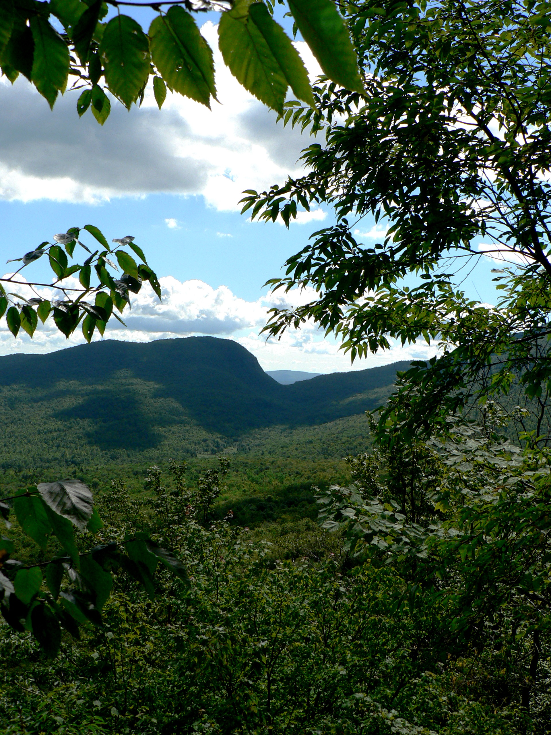
Notch View
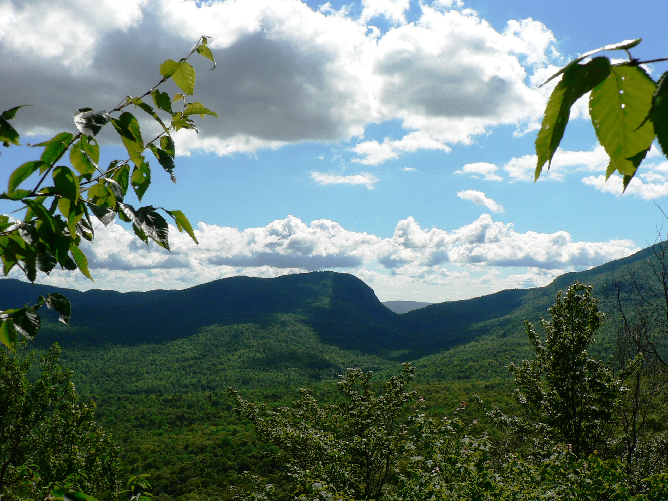
Notch View 3
View of Vermont, USA from Canada

Domaine Pinnacle, tasting house and patio

Media area
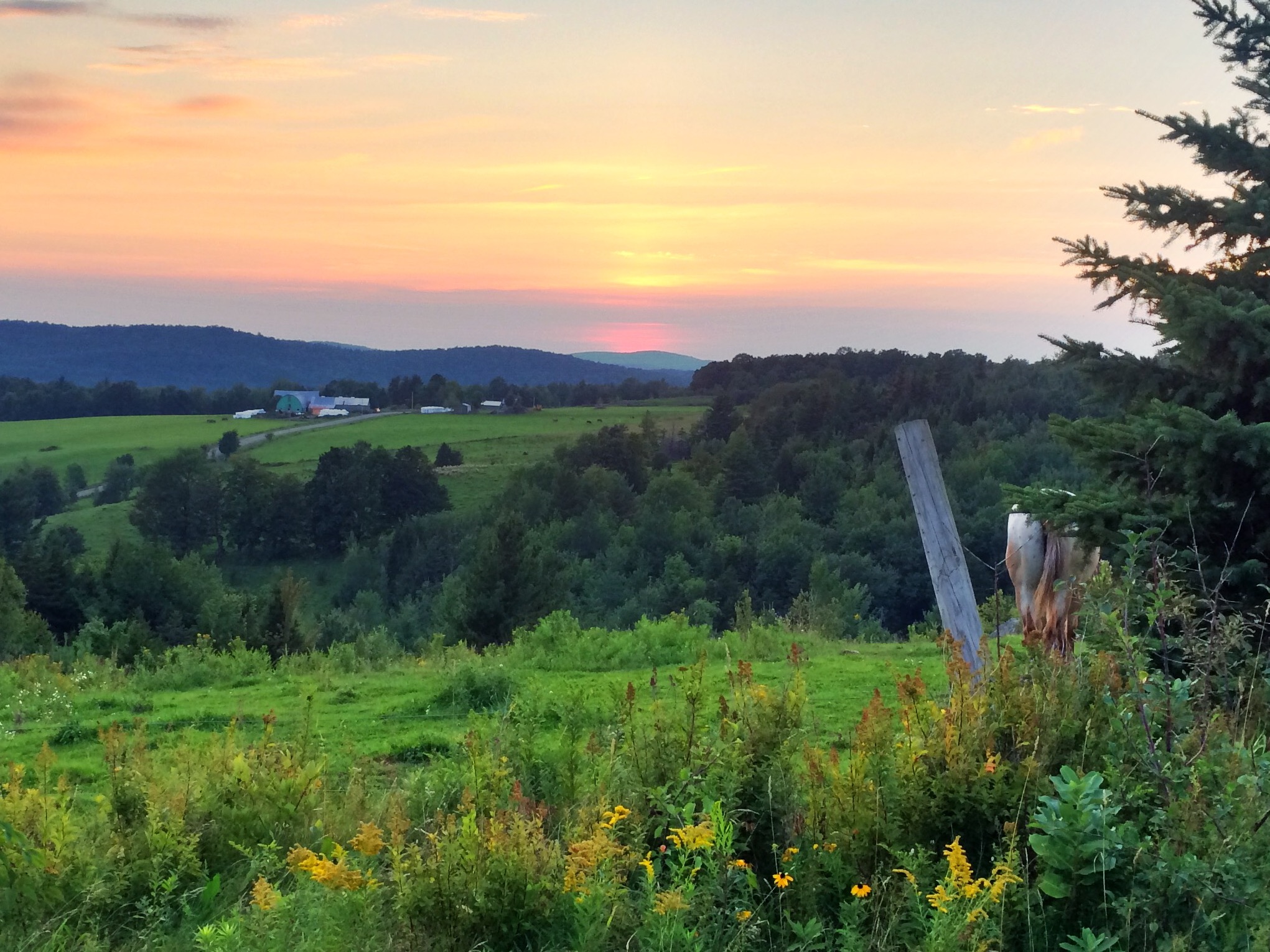
View from one of my running routes
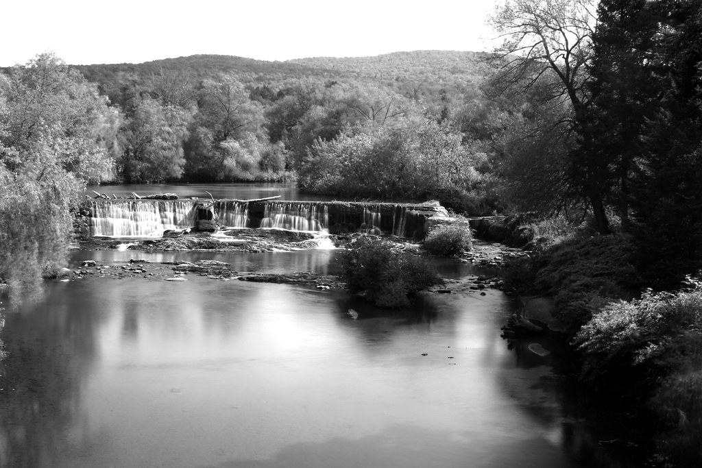
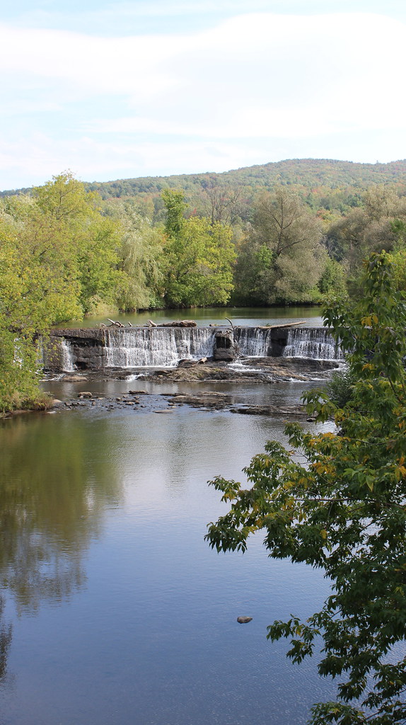
Waterfalls of Sutton River in Abercorn, Qc
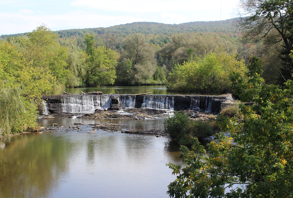
Waterfalls of Sutton River in Abercorn, Qc
Waterfall in Abercorn
#Vermont. Getting back to #nature for a few days does the #soul well! #autumn #trees #hiking #outdoors pic by @mia_tidwell
Waterfalls of Sutton River in Abercorn, Qc
glorious day
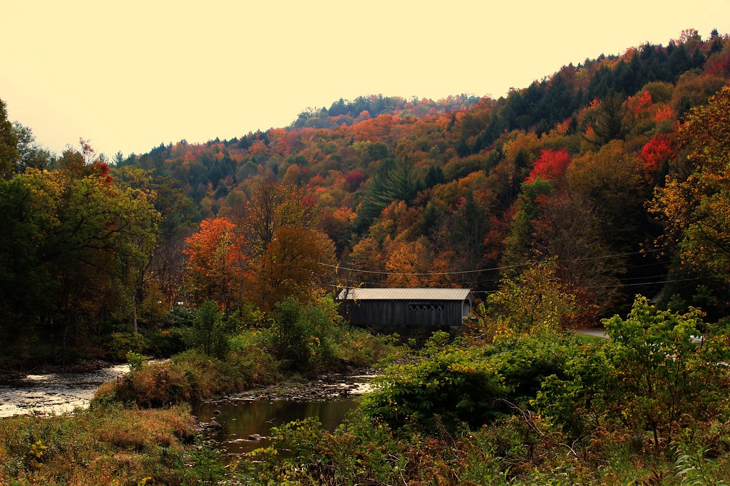
Comstock Covered Bridge

Waterfalls of Sutton River in Abercorn, Qc
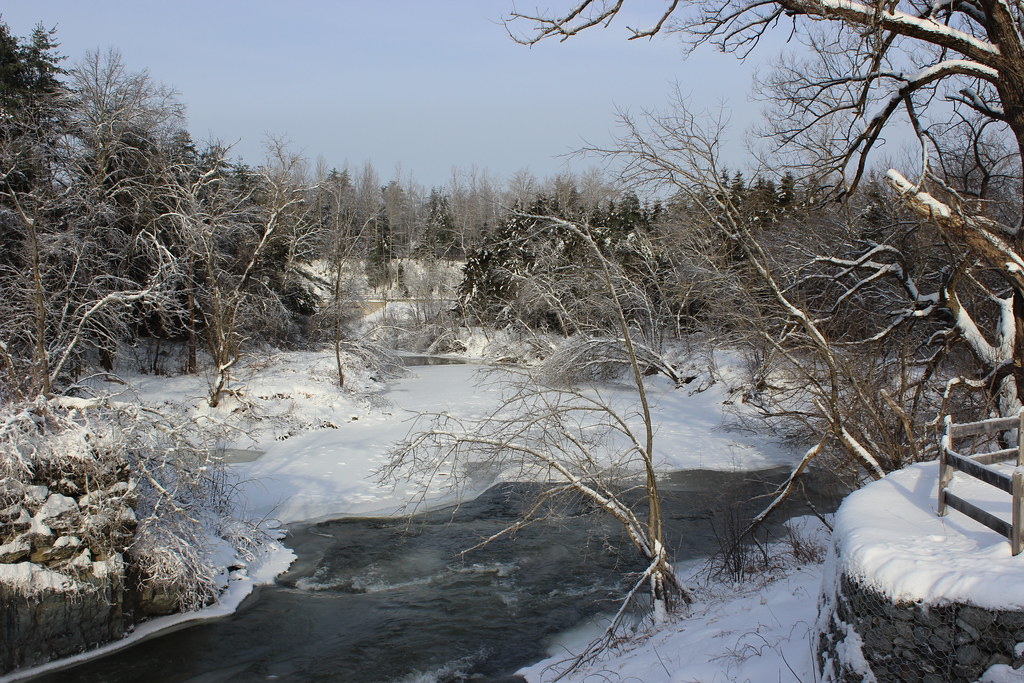
Sutton River in Abercorn, Qc
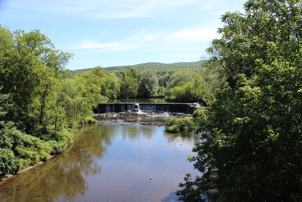
Waterfalls of Sutton River in Abercorn, Qc
Intmite Rural landscape 14

Waterfalls in Abercorn, Qc
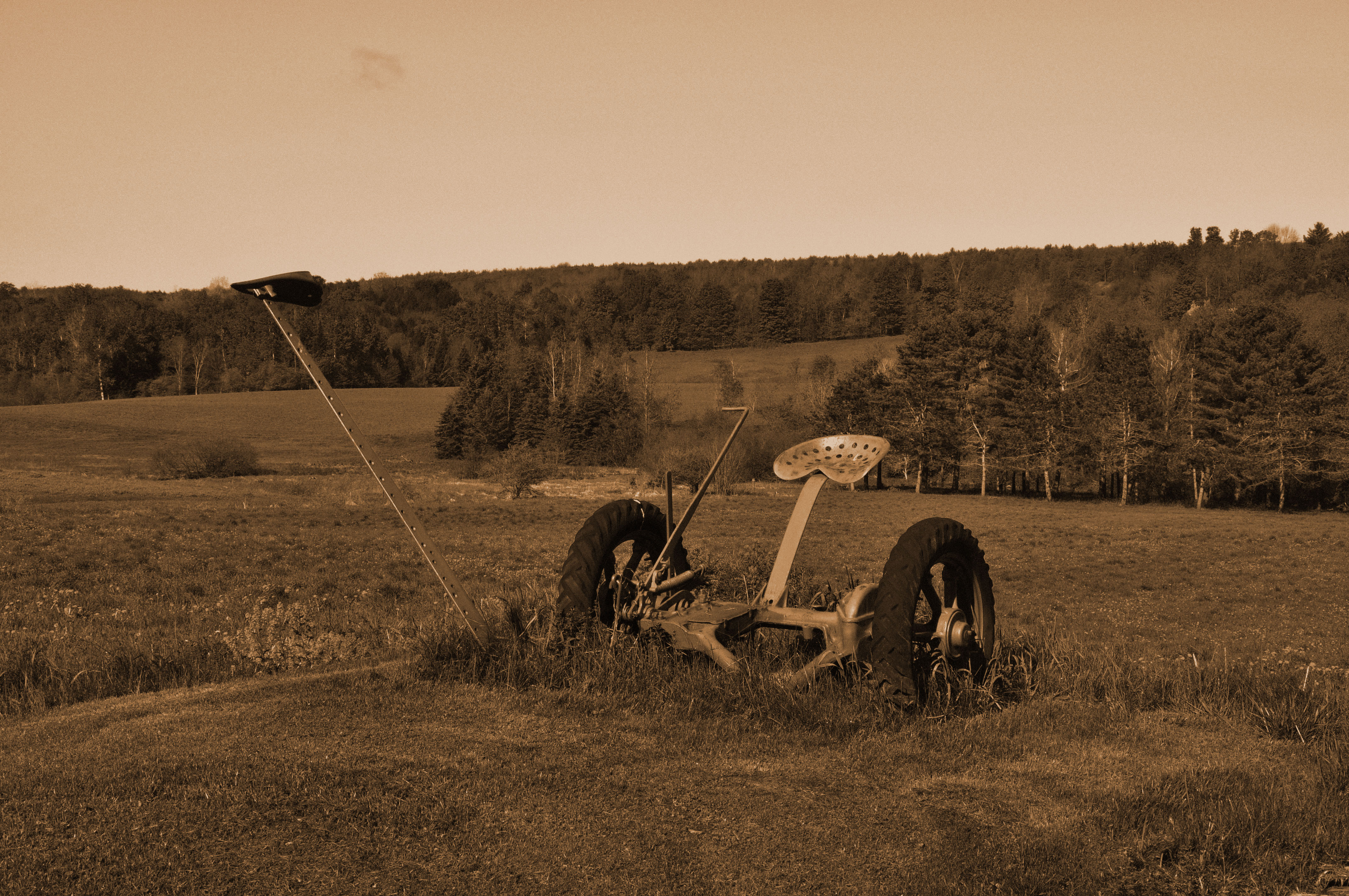
Faucheuse à foin
Intmite Rural landscape 11
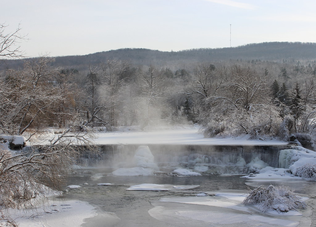
Waterfalls of Sutton River in Abercorn, Qc
Intmite Rural landscape 15
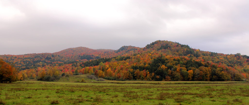
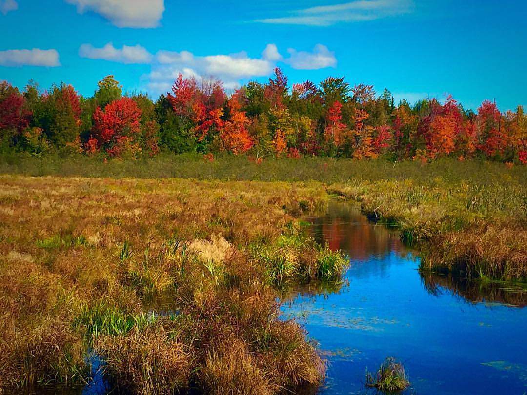
Fall Foliage in Vermont
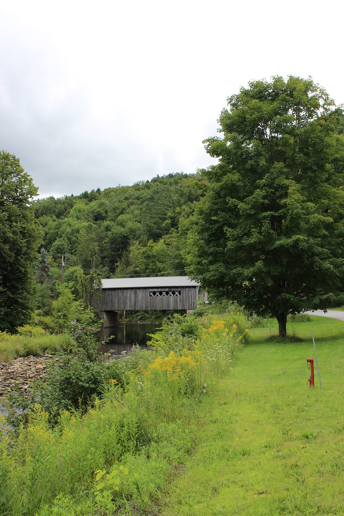
Comstock Covered Bridge in Montgomery, Vermont

Intimite Rural landscape 2
Au Clos Saragnat
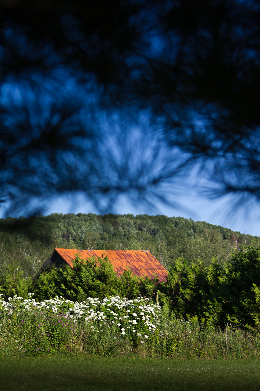
Toit rouille
Topographic Map of Sampsonville Rd, Enosburg Falls, VT, USA
Find elevation by address:

Places near Sampsonville Rd, Enosburg Falls, VT, USA:
VT-, East Berkshire, VT, USA
East Berkshire
3288 Perley Rd
3277 Perley Rd
3288 Perley Rd
Enosburg
4172 Boston Post Rd
Prive Hill Rd, Richford, VT, USA
6 Wightman Hill Rd
10 Woodpecker Loop
1927 Enosburg Mountain Rd
4143 Enosburg Mountain Rd
140 Main St
W Hill Rd, Enosburg Falls, VT, USA
1329 S Richford Rd
1329 S Richford Rd
1329 S Richford Rd
1329 S Richford Rd
1329 S Richford Rd
1329 S Richford Rd
Recent Searches:
- Elevation of Corso Fratelli Cairoli, 35, Macerata MC, Italy
- Elevation of Tallevast Rd, Sarasota, FL, USA
- Elevation of 4th St E, Sonoma, CA, USA
- Elevation of Black Hollow Rd, Pennsdale, PA, USA
- Elevation of Oakland Ave, Williamsport, PA, USA
- Elevation of Pedrógão Grande, Portugal
- Elevation of Klee Dr, Martinsburg, WV, USA
- Elevation of Via Roma, Pieranica CR, Italy
- Elevation of Tavkvetili Mountain, Georgia
- Elevation of Hartfords Bluff Cir, Mt Pleasant, SC, USA